The best running trails around La Calzada De Béjar
322
runners
47
runs
Jogging around La Calzada De Béjar offers a diverse landscape of mountains, green meadows, and historical paths. The region is part of the Sierra de Béjar, characterized by varied terrain including steep hills and river valleys. Runners can explore ancient routes like the Vía de la Plata, which provides a unique surface with historical significance. Chestnut forests and viewpoints overlooking the Baños reservoir further enhance the natural appeal for outdoor activities.
Best jogging routes around La Calzada De Béjar
- The…
Last updated: June 27, 2026
26
runners
13.1km
01:36
360m
360m
Hard run. Very good fitness required. Mostly paved surfaces. Suitable for all skill levels.
23
runners
16.3km
01:59
660m
660m
Hard run. Very good fitness required. Sure-footedness, sturdy shoes and alpine experience required.

Sign up for free
16
runners
18.0km
01:59
380m
380m
Hard run. Very good fitness required. Mostly paved surfaces. Suitable for all skill levels.
21
runners
42.2km
07:06
2,160m
2,160m
Hard run. Very good fitness required. Sure-footedness, sturdy shoes and alpine experience required.
18
runners
14.8km
01:54
510m
510m
Hard run. Very good fitness required. Mostly paved surfaces. Suitable for all skill levels.
Get access to more routes and recommendations from other explorers.
Sign up for free
Already have an account?
Our route recommendations are based on thousands of hikes, rides, and runs completed by other people on komoot.
Start today with a free account
Your next adventure awaits.
Login or Signup

Tips from the Community

Regarding its history, the cross is a traditional symbol often associated with popular religiosity and the protection of the people. Although there is not much specific historical documentation about this cross, in Candelario it is common to find elements linked to Christian tradition, given that the municipality has a strong cultural and religious identity, also reflected in its festivals and architecture.
1
0
The Cross in Candelario Park is located in the municipality of Candelario, in the province of Salamanca (Castilla y León), within the town's Municipal Park. This park is a green space frequently visited by locals and tourists, and the cross is one of its most distinctive features, situated in an elevated area that offers views of the surrounding area.
1
0

The bullring of the city of Béjar, in the province of Salamanca (Spain), better known as La Ancianita, is the oldest bullring preserved in Spain, inaugurated in 1711.2 Located on the Castañar mountain next to the Sanctuary of the Virgen del Castañar, two kilometers from Béjar.3
0
0

Old power plant that used the current of the waters of the Río Cuerpo del Hombre to create electricity. Its walls are currently there.
0
1
At a distance of just 2 km from the Collado de Los Buitres mountain pass, a good area to enjoy nature and breathe fresh air.
7
0

Béjar is a Historical-Artistic city with many important buildings and monuments along narrow streets and large squares. The jewel is the Ducal Palace Palace from the 16th century belonging to the order of the Zúñiga family. Stop at the Plaza Mayor for a drink and a bite to eat.
1
0
Section of road that is located at 1080 meters and where it is possible to make a stop and refill the water bottle. If necessary, rest a bit...
0
0
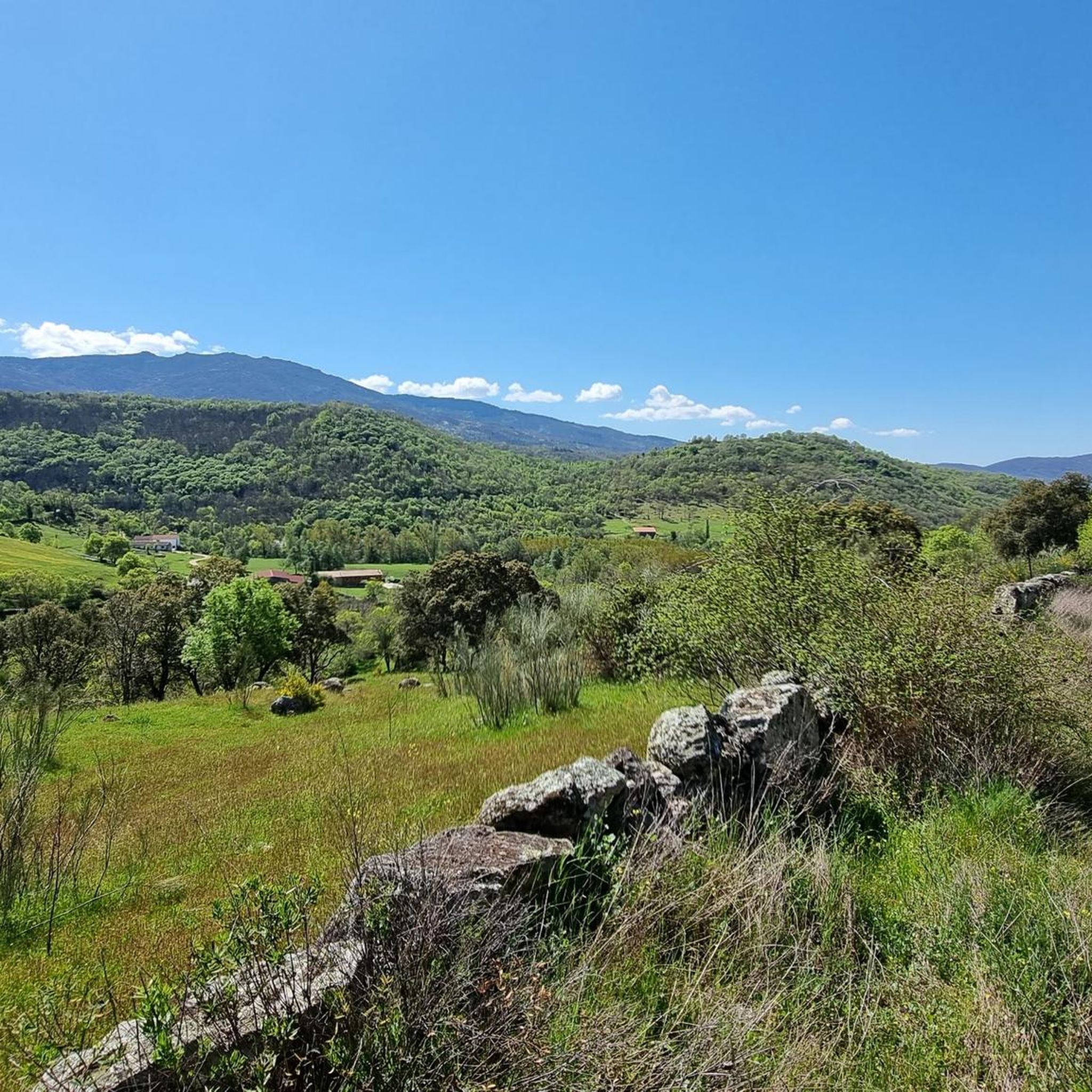
Viewpoint that is located above the town of Béjar and offers incredible views of the whole valley!
0
0
Frequently Asked Questions
What kind of terrain can I expect on running routes around La Calzada De Béjar?
The region offers a diverse landscape for runners, combining rugged mountain paths, green meadows, and river valleys shaped by the Cuerpo de Hombre river. You'll also find unique historical surfaces, such as sections of the ancient Roman road, the Vía de la Plata, which provides a distinct running experience.
Are there running routes suitable for beginners in La Calzada De Béjar?
While many routes in the area are considered moderate to difficult due to the mountainous terrain, there is at least one easy route available. Overall, the area features 17 moderate and 33 difficult routes, so beginners should look for paths specifically marked as easy or moderate with lower elevation gains.
Can I bring my dog on the running trails in La Calzada De Béjar?
Many natural trails in the Sierra de Béjar region are suitable for dogs, especially those that traverse meadows and less crowded areas. However, it's always advisable to keep your dog on a leash, particularly in areas with livestock or protected wildlife, and to check local regulations for specific trails.
Are there any circular running routes available in the area?
Yes, there are several circular running routes. For example, the Cross of the Candelario Park – La Ancianita bullring loop from Béjar is a popular 8.1-mile difficult loop, and the Plaza Mayor of Béjar – Ventorro Pelayo Viewpoint loop from Béjar offers an 11.7-mile challenging run with varied terrain and viewpoints.
What historical landmarks can I see while running in La Calzada De Béjar?
The region is rich in history. You can run along sections of the ancient Vía de la Plata, a Roman road that once connected major cities. Nearby, you might also encounter the remains of a 3rd or 4th-century AD Roman Fort, and historical markers known as Miliarios, which were Roman stone columns indicating distances.
Are there any scenic viewpoints or natural attractions along the running routes?
Absolutely. The area boasts several beautiful spots. You can find stunning views of the Baños Reservoir from the Viewpoint of the Station. Other notable natural highlights include the Peña Negra Summit, the Puente Nueva over the Río Cuerpo de Hombre, and the Cedro de la Francesa. You can also enjoy views of the Navamuño Reservoir from various points, such as the Navamuño Reservoir Views highlight.
What is the best time of year for running in La Calzada De Béjar?
The spring and autumn months are ideal for running, as the fields become vibrant green and the temperatures are pleasant. During the warmer summer months, the mountainous environment of the Sierra de Béjar can be challenging, but the chestnut forests offer shaded routes. Winter running is also possible, but be prepared for colder conditions and potentially more challenging terrain.
How many running routes are available around La Calzada De Béjar?
There are over 50 dedicated running routes available around La Calzada De Béjar, catering to various fitness levels. This includes a mix of easy, moderate, and difficult trails, ensuring options for almost every runner.
Are there any routes that offer views of lakes or reservoirs?
Yes, several routes provide picturesque views of local water bodies. The La Ancianita bullring – Views on the embalse de Navamuño loop from Béjar offers panoramic views of the surrounding landscape, including the Navamuño Reservoir. You can also find highlights like the View of Montemayor and the Baños Reservoir.
What kind of forests can I expect to run through?
The area is home to beautiful chestnut forests, which provide shaded and scenic routes, especially during the warmer months. These forests add to the natural allure and offer a different running experience compared to the open meadows or rugged mountain paths.
Are there any challenging long-distance running options?
For those seeking a significant challenge, the Canchal de la Ceja – Torreón (Calvitero Summit) loop from Béjar is a demanding 42.2 km (26.2 miles) route with over 2,100 meters of elevation gain, offering an intense long-distance running experience.
What do other runners say about the trails in La Calzada De Béjar?
Over 300 runners have used komoot to explore the varied terrain around La Calzada De Béjar. They often praise the diverse landscapes, from historical Roman roads to challenging mountain paths, and the stunning views of the Sierra de Béjar region.
Most popular routes around La Calzada De Béjar
Most popular attractions around La Calzada De Béjar

Get inspired with the komoot mobile app


Explore more
Browse the best Running Trails & Routes in other regions.
