The best MTB trails around La Calzada De Béjar
4.3
(63)
976
riders
73
rides
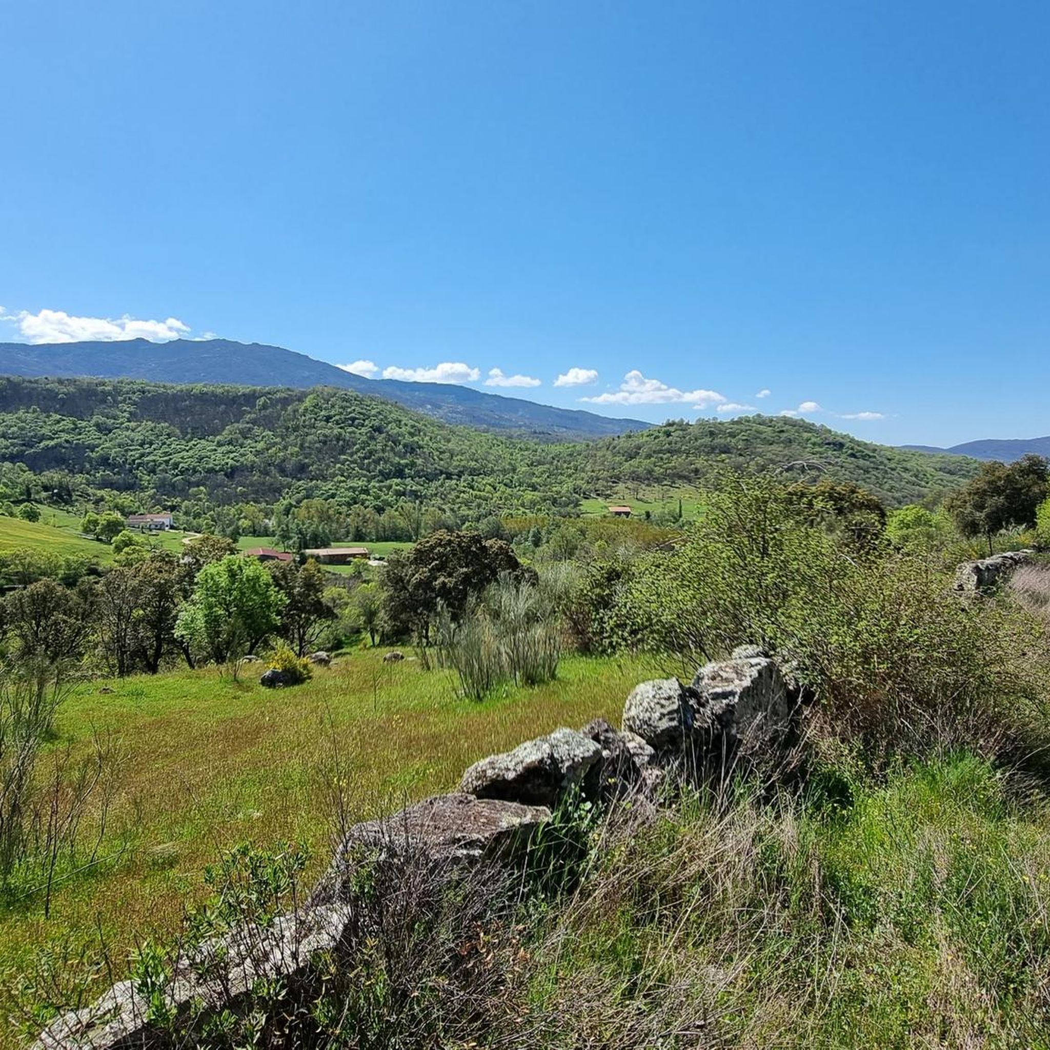
Mountain bike trails around La Calzada De Béjar offer diverse landscapes within the Sierra de Béjar, part of the Sierra de Gredos system. The region features a mix of mountains and meadows, with abundant oak, chestnut, coniferous, and hardwood forests. Riders can explore historical routes like the Vía de la Plata and experience varied terrain, from winding roads to technical singletracks, often alongside the Cuerpo de Hombre river.
Best mountain bike trails around La Calzada De Béjar
- The most popular…
Last updated: June 24, 2026
4.8
(5)
45
riders
36.3km
02:47
630m
630m
Moderate mountain bike ride. Good fitness required. Advanced riding skills necessary.
5.0
(5)
30
riders
29.5km
02:22
570m
570m
Moderate mountain bike ride. Good fitness required. Advanced riding skills necessary.

Sign up for free
14
riders
44.3km
03:44
1,280m
1,280m
Hard mountain bike ride. Very good fitness required. Advanced riding skills necessary.
4.0
(1)
13
riders
42.7km
03:13
630m
630m
Moderate mountain bike ride. Good fitness required. Suitable for all skill levels.
5.0
(1)
10
riders
28.6km
02:18
670m
670m
Moderate mountain bike ride. Good fitness required. Suitable for all skill levels.
Get access to more routes and recommendations from other explorers.
Sign up for free
Already have an account?
Our route recommendations are based on thousands of hikes, rides, and runs completed by other people on komoot.
Start today with a free account
Your next adventure awaits.
Login or Signup

Tips from the Community

The old Béjar railway station has been magnificently renovated and transformed into a multi-purpose center called "Estación Béjar Verde". Located along the route of the Camino Natural Vía de la Plata, it houses a bar-restaurant with a terrace, a 40-bed hostel, and offers bicycle and hiking rental services.
0
0

The origin of this via verde lies in the transport of silver. the Silver Route (Vía de la Plata) runs through. However, pilgrims do not walk through the village itself, which is characterized by its typical local architecture; instead, the pilgrim route stays to the left of the village
9
0


The Silver Route (Vía Verde de la Plata) in the Port of Béjar is part of the old Astorga–Plasencia railway line, now a nature trail for hiking and cycling. Don't miss the Little Station: a bar/restaurant in the old station, with a terrace and railway atmosphere (open during tourist season).
4
0
Very close to the Béjar Greenway, ideal for cyclists and hikers who follow the old railway line. Cuisine: Mediterranean and Spanish, with grilled meats, tapas, and traditional dishes. Specialties: Grilled meats (T-bone steak, Iberian pork shoulder). Burgers (including Wagyu). A variety of tapas, croquettes, and salads. Fresh fish and homemade stews.
8
0
It is an old railway tunnel converted into a section of the Silver Greenway, which takes advantage of the old railway line between Béjar and Baños de Montemayor.
3
0

Thursday to Sunday - 10:00 a.m. to 2:00 p.m.
1
0
This tunnel crosses Béjar from its station and at the exit is the Textile Museum
1
0
Frequently Asked Questions
How many mountain bike trails are available in La Calzada De Béjar?
There are over 70 mountain bike trails around La Calzada De Béjar, offering a wide range of options for different skill levels and preferences.
What are the general characteristics of the mountain biking terrain in La Calzada De Béjar?
The terrain in La Calzada De Béjar is diverse, featuring a mix of mountains and meadows within the Sierra de Béjar. Riders can expect to encounter abundant oak, chestnut, coniferous, and hardwood forests. Trails vary from winding roads with climbs to flat, rolling tracks and rocky, technical singletracks, often alongside the Cuerpo de Hombre river.
Are there easy mountain bike trails suitable for beginners in La Calzada De Béjar?
Yes, there are a few easy mountain bike trails available. While many routes are moderate or difficult, beginners can find suitable options to enjoy the scenic landscape.
Are there challenging mountain bike routes for experienced riders?
Absolutely. La Calzada De Béjar offers over 35 difficult mountain bike routes. These trails often feature significant elevation changes and technical sections, including routes that traverse mountain passes like those seen in the Vuelta a España, such as La Covatilla.
Can I find mountain bike trails that follow historical routes?
Yes, the ancient Roman road known as the Vía de la Plata passes directly through La Calzada de Béjar. Many mountain bike routes incorporate sections of this historical path, offering a unique journey through history. An example is the Béjar Tunnel – Vía Verde de la Plata loop from La Calzada de Béjar.
What natural attractions can I see along the mountain bike trails?
The trails often lead through extensive forests of oak, chestnut, and conifers. You can also encounter dramatic spots like the "Tranco del Diablo" where the Cuerpo de Hombre river has eroded granite rocks. Several routes pass by reservoirs and dams, such as the Navamuño Dam, and offer views of the Ambroz Valley and the Baños Reservoir.
Are there mountain bike routes that include mountain passes?
Yes, the region is part of the Sierra de Béjar, which is known for its mountainous scenery. You can find routes that ascend to various mountain passes, such as Puerto de Béjar or Travieso Pass, offering challenging climbs and rewarding views.
Are there mountain bike trails suitable for families?
While the guide focuses on mountain biking, which can be demanding, some of the easier or moderate routes, especially those on less technical terrain or along sections of the Vía Verde de la Plata, might be suitable for families with older children who are comfortable with cycling. Always check the difficulty grade and elevation profile before setting out.
Is it possible to find circular mountain bike routes in La Calzada De Béjar?
Yes, many of the mountain bike trails in the area are designed as loops, allowing you to start and end in the same location. Examples include the Béjar Tunnel – Navamuño Dam loop from Cantagallo and the Vía Verde de la Plata – Béjar Pass loop from Béjar.
What do other mountain bikers say about the trails in La Calzada De Béjar?
The mountain bike routes in La Calzada De Béjar are highly rated by the komoot community, with an average score of 4.4 stars from over 50 reviews. Riders often praise the diverse landscapes, the combination of historical paths with natural beauty, and the variety of challenges available.
What is the best time of year for mountain biking in La Calzada De Béjar?
The region's climate makes spring and autumn particularly pleasant for mountain biking, with milder temperatures and lush scenery. Summer can be warm, especially at lower elevations, while winter may bring colder conditions and potential snow at higher altitudes in the Sierra de Béjar.
Are there options for parking near the mountain bike trails?
Many routes start from towns or villages like La Calzada de Béjar or Béjar, where parking facilities are generally available. It's advisable to check the starting point of your chosen route for specific parking information.
Most popular routes around La Calzada De Béjar
Most popular attractions around La Calzada De Béjar

Get inspired with the komoot mobile app


Explore more
Browse the best MTB trails in other regions.
