The best running trails around National Park Redes
3.8
(4)
578
runners
46
runs
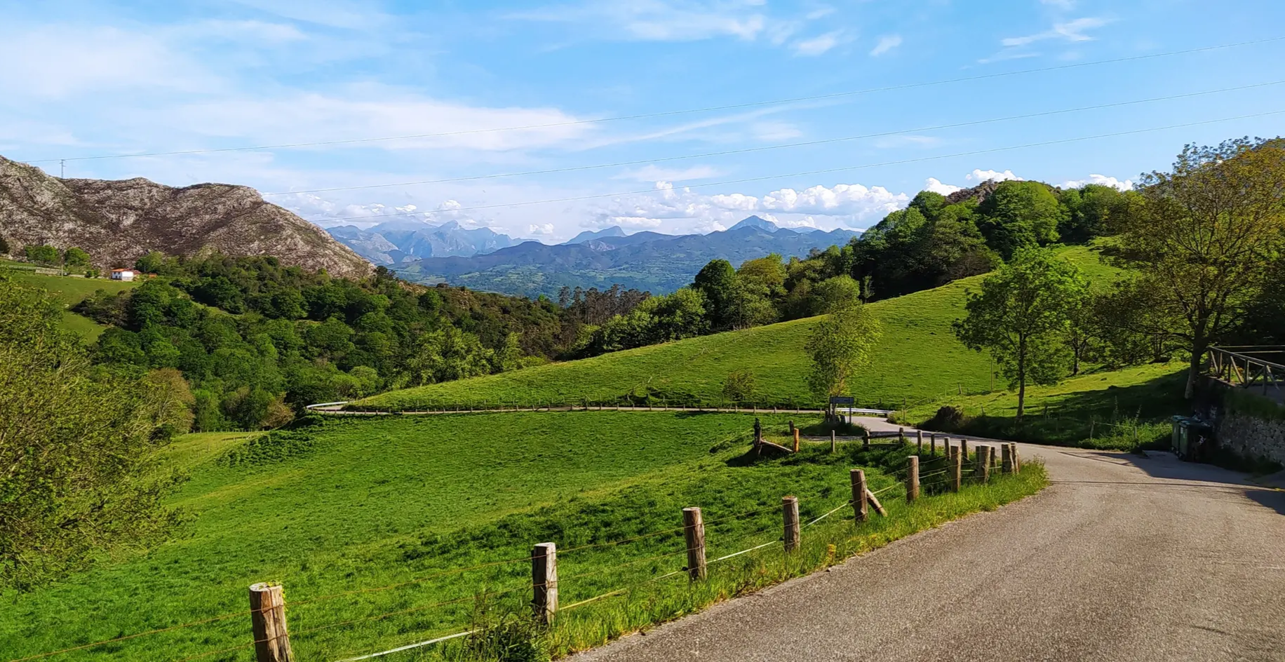
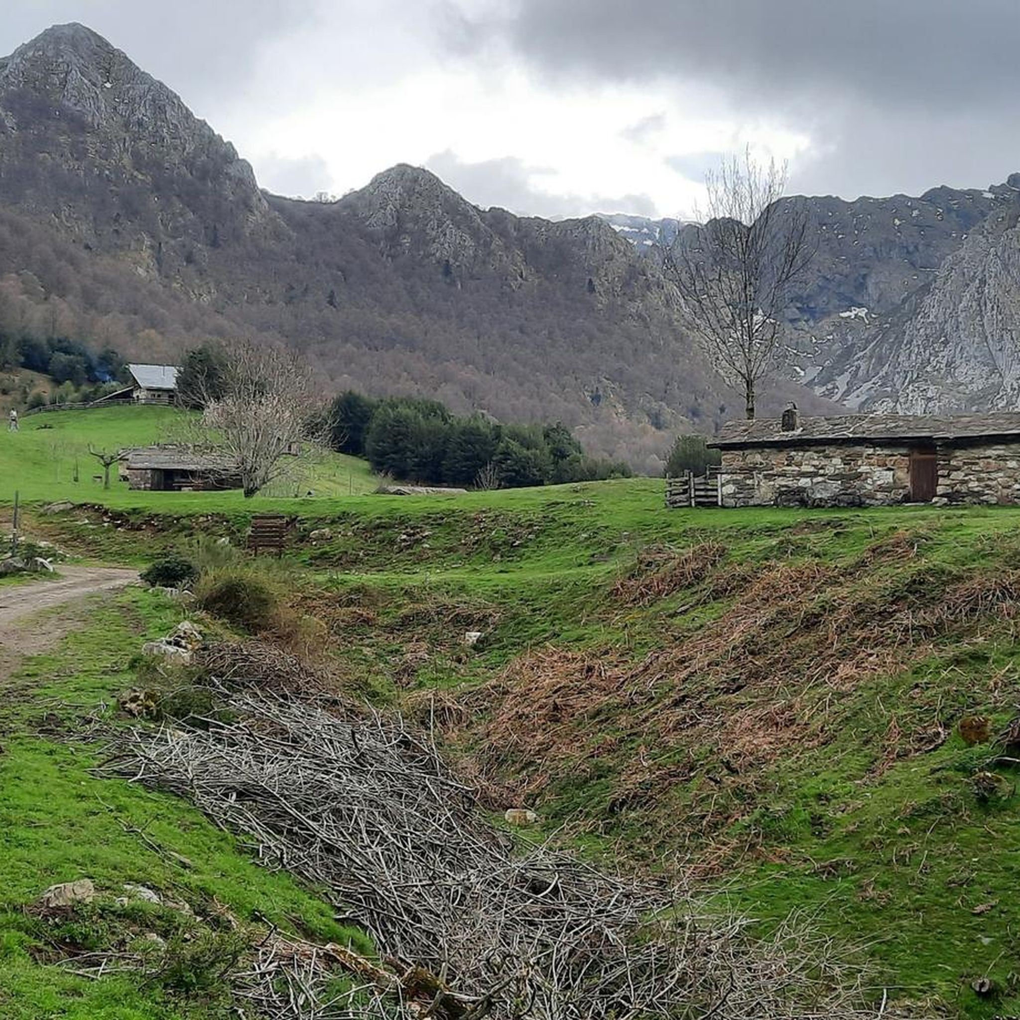
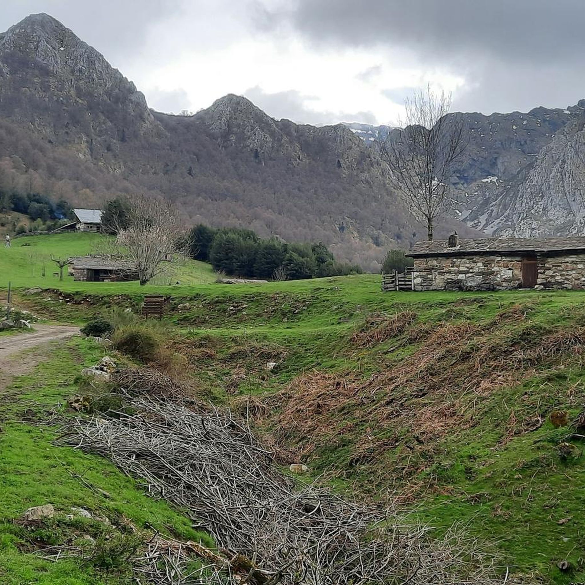
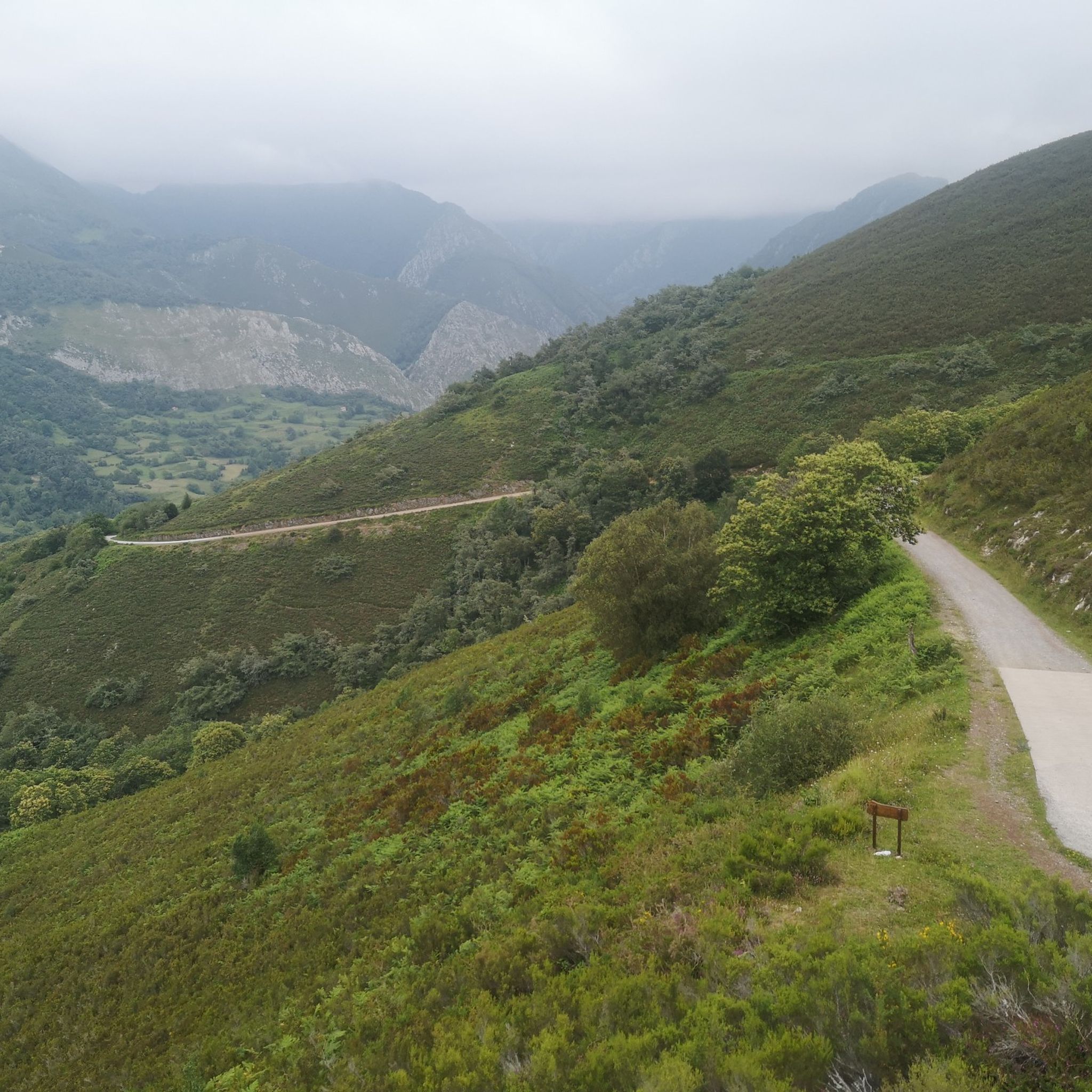
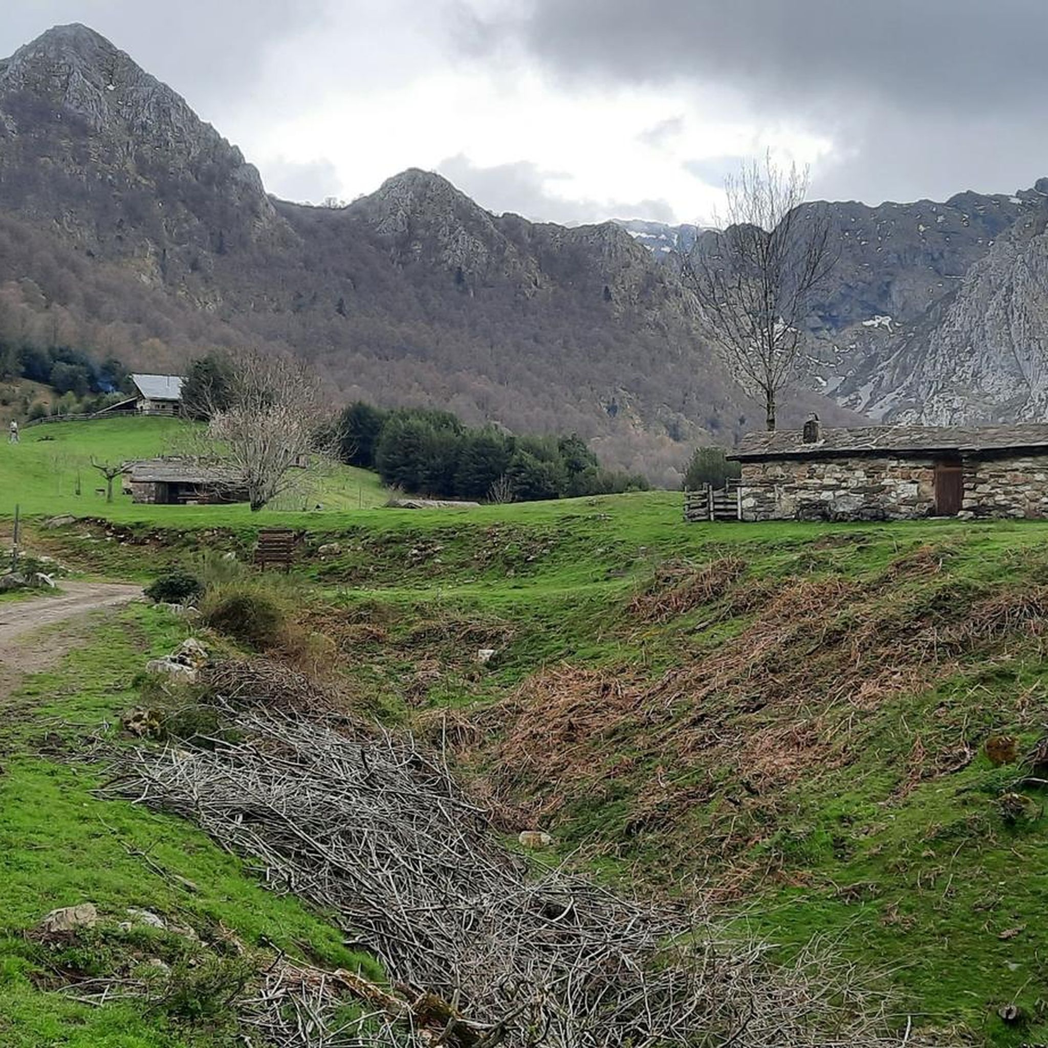
Jogging around National Park Redes offers diverse natural landscapes in the central eastern region of Asturias, Spain. The park is characterized by thick forests of beech, oak, and lime trees, rolling meadows, and dramatic geological formations including gorges and limestone bedrock. Glacial valleys and jagged peaks, alongside numerous rivers, streams, and waterfalls, provide varied terrain for running. This UNESCO Biosphere Reserve features an extensive network of trails suitable for different fitness levels.
Best jogging routes around National Park Redes
- The…
Last updated: June 28, 2026
34
runners
14.1km
02:23
830m
830m
Hard run. Very good fitness required. Sure-footedness, sturdy shoes and alpine experience required.
6
runners
12.2km
02:20
820m
820m
Hard run. Very good fitness required. Sure-footedness, sturdy shoes and alpine experience required.

Sign up for free
5
runners
11.6km
01:41
590m
590m
Hard run. Very good fitness required. Mostly paved surfaces. Suitable for all skill levels.
4
runners
12.2km
01:59
620m
620m
Hard run. Very good fitness required. Sure-footedness, sturdy shoes and alpine experience required.
21
runners
17.0km
02:55
1,010m
1,010m
Hard run. Very good fitness required. Sure-footedness, sturdy shoes and alpine experience required.
Get access to more routes and recommendations from other explorers.
Sign up for free
Already have an account?
Our route recommendations are based on thousands of hikes, rides, and runs completed by other people on komoot.
Start today with a free account
Your next adventure awaits.
Login or Signup

Other adventures around National Park Redes

Tips from the Community

Several routes depart from Soto de Agues, including the typical Ruta del Alba.
0
0

Soto de Agues is a town in the council of Sobrescobio, located at 430 m altitude, at the end of one of the branches of the SC-2 road. It is divided into three neighborhoods: San Andrés, Agues and Soto. It preserves good examples of traditional architecture, a church dating from 1805, dedicated to San Andrés, and two hermitages, dedicated to San Antonio and Santa Ana, respectively. It is the starting point of several mountain routes, such as those of the Ruta del Alba (P. R. AS-62) and Cullargayos (P. R. AS-63).
11
0

At this point, a crossroads leaves us with beautiful views of the river and the huts in the area.
1
0
From Soto de Argues you can start several mountain routes. The best known is perhaps the dawn route. A route that runs along paths that are comfortable to walk.
1
0

Different routes of different levels
1
0

A nice circular through the Redes area. You will need about two and a half hours to go up and about an hour and a half to go down.
1
0
Soto de Agues is a small town located in the Asturias region in northern Spain. It is located in the Redes Natural Park, which is known for its beautiful mountainous landscapes, walking trails, and outdoor activities.
2
0
Frequently Asked Questions
How many running routes are available in National Park Redes?
National Park Redes offers a comprehensive network of trails, with over 40 official routes spanning a total distance of 200 km. Our guide features 48 jogging routes, providing diverse options for runners of all levels, though most are considered challenging.
Are there any easy jogging routes in National Park Redes?
While many routes in National Park Redes are challenging, the park does offer paths suitable for easier runs. The Ruta del Alba, for example, is a former mining trail along the Alba River, known for its scenic beauty and relatively easy terrain, making it suitable for a pleasant run. Our guide currently lists 9 moderate routes, but no easy ones, so it's best to check individual route details for specific difficulty levels.
What kind of landscapes can I expect to see while running in National Park Redes?
Jogging in National Park Redes offers a stunning variety of landscapes. You'll encounter thick forests of beech, oak, and lime trees, rolling meadows, and dramatic geological formations including gorges and limestone bedrock. The park is also characterized by glacial valleys, jagged peaks, and numerous rivers, streams, and waterfalls, providing breathtaking scenery throughout your run.
Are there any circular running routes in National Park Redes?
Yes, many of the running routes in National Park Redes are designed as loops. For instance, the Soto de Agues Village – Retorturiu Stone Building loop from Sobrescobio is a challenging 11.6 km route that allows you to start and finish in the same location. You can find more circular options by filtering routes on komoot.
What are some notable natural attractions to see along the running trails?
National Park Redes is rich in natural landmarks. You can discover the impressive Tabayón del Mongayu Waterfall, a 60-meter high cascade, accessible via various routes. Other highlights include the stunning Lake Ubales with panoramic mountain views, and the tranquil El Tabayón del Mongayu Waterfall Trail itself.
Are there any challenging running routes for experienced trail runners?
Absolutely. National Park Redes is renowned for its challenging terrain, with 39 of the 48 routes in our guide classified as difficult. The Embalse de Rioseco – Pico la Piedra loop from Villamoréi is a demanding 12.3 km route with significant elevation gain, perfect for experienced trail runners seeking an exhilarating experience. The Ruta del Desfiladero de los Arrudos is another challenging 23 km trail through a gorge, ideal for advanced runners.
What do other runners say about the trails in National Park Redes?
The running routes in National Park Redes are highly regarded by the komoot community, with an average rating of 3.0 stars. Over 600 runners have explored the park's varied terrain using komoot, often praising the dense woodlands, rolling meadows, and river valleys that define the experience.
Are there any routes that offer views of traditional Asturian villages?
Yes, some routes will take you through or near ancient villages with traditional thatched stone cottages, offering a glimpse into rural Asturian life. The Soto de Agues Village is a notable settlement you might encounter, adding a cultural dimension to your outdoor pursuits.
Can I find routes that lead to high-altitude viewpoints or lakes?
Definitely. Many routes in National Park Redes ascend to offer spectacular views. The Ruta de la Vega Brañagallones, for example, is a 10 km uphill trail leading to the picturesque meadow paradise of Vega de Brañagallones at 1,200 meters above sea level. You can also find routes that provide panoramic views of Lake Ubales and the surrounding mountains.
What is the best time of year for jogging in National Park Redes?
National Park Redes offers beautiful scenery year-round, but the best time for jogging generally depends on your preference. Spring and autumn provide milder temperatures and vibrant foliage. Summer is also popular, though some higher-altitude trails might be more exposed. Winter jogging is possible, but some routes may be affected by snow or ice, especially at higher elevations, so checking conditions beforehand is advisable.
Are there specific trails known for their river and waterfall features?
Yes, the park is abundant with water features. The Ruta del Alba is particularly renowned for running alongside the Alba River, featuring numerous pools, waterfalls, and rapids. The Tabayón del Mongayu Waterfall is a major highlight, and its dedicated trail offers a pleasant experience centered around this impressive natural spectacle.
Most popular routes around National Park Redes
Most popular attractions around National Park Redes

Get inspired with the komoot mobile app


Explore more
Browse the best Running Trails & Routes in other regions.
