The best cycling routes around National Park Redes
4.6
(19)
408
riders
42
rides
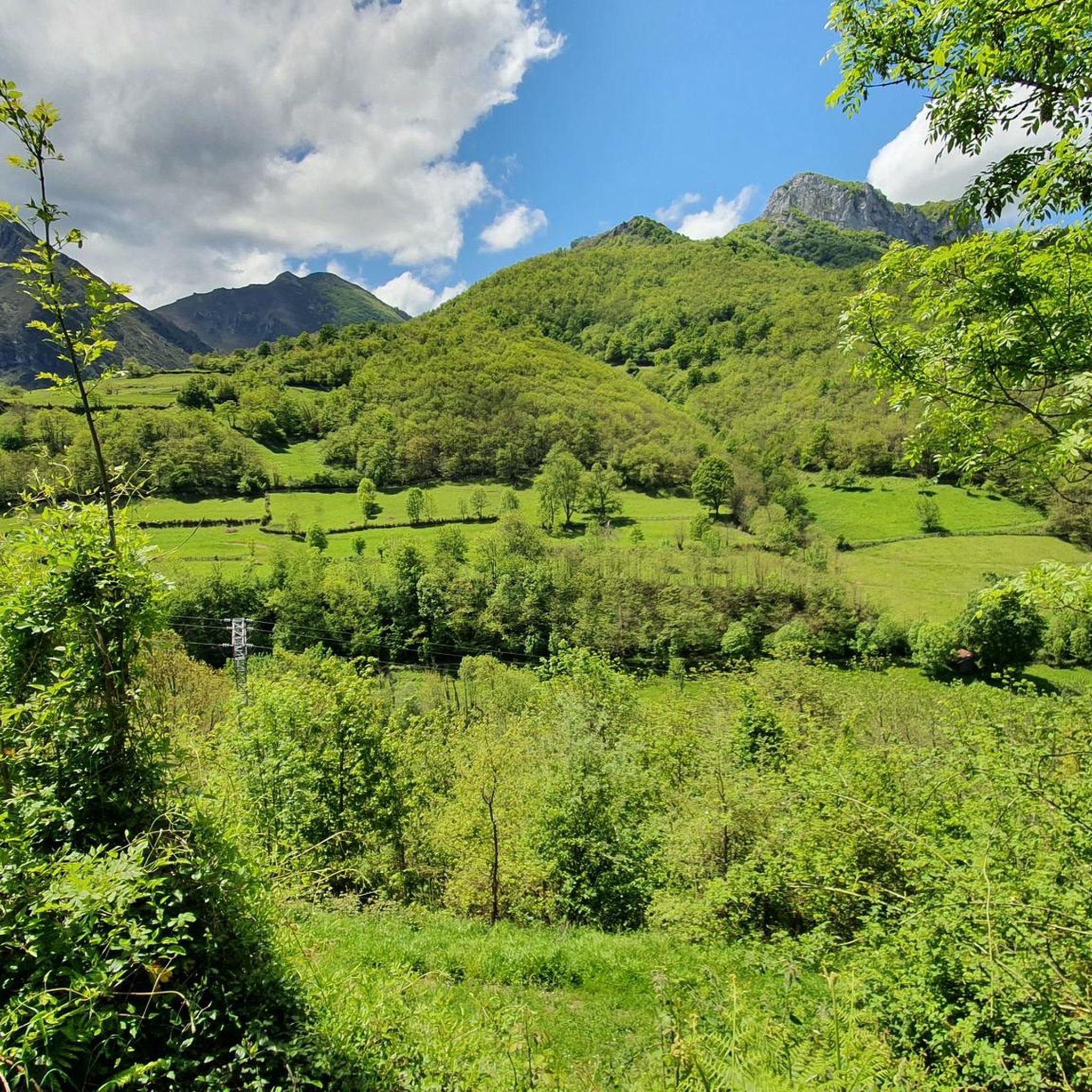
Touring cycling routes around National Park Redes traverse the abrupt and mountainous terrain of the Cantabrian Mountains in Asturias, Spain. The landscape is characterized by significant slopes, limestone bedrock forming karst features, and dense deciduous woodlands of beech and oak. Numerous rivers, streams, and impressive limestone gorges, such as the Arrudos and Alba River gorges, carve through the park, offering varied scenery for cyclists. Open valleys and high-altitude meadows also provide expansive views along many routes.
Best touring cycling routes…
Last updated: July 7, 2026
2
riders
44.2km
03:26
1,190m
1,190m
Hard bike ride. Very good fitness required. Mostly paved surfaces. Suitable for all skill levels.
14
riders
21.5km
02:32
810m
810m
Hard bike ride. Very good fitness required. Mostly paved surfaces. Suitable for all skill levels.

Sign up for free
5.0
(1)
10
riders
62.2km
04:39
1,490m
1,490m
Hard bike ride. Very good fitness required. Mostly paved surfaces. Suitable for all skill levels.
5.0
(1)
6
riders
42.6km
02:58
780m
780m
Hard bike ride. Very good fitness required. Mostly paved surfaces. Suitable for all skill levels.
3
riders
25.6km
02:59
1,250m
1,250m
Hard bike ride. Very good fitness required. You may need to push your bike for some segments of this route.
Get access to more routes and recommendations from other explorers.
Sign up for free
Already have an account?
Our route recommendations are based on thousands of hikes, rides, and runs completed by other people on komoot.
Start today with a free account
Your next adventure awaits.
Login or Signup
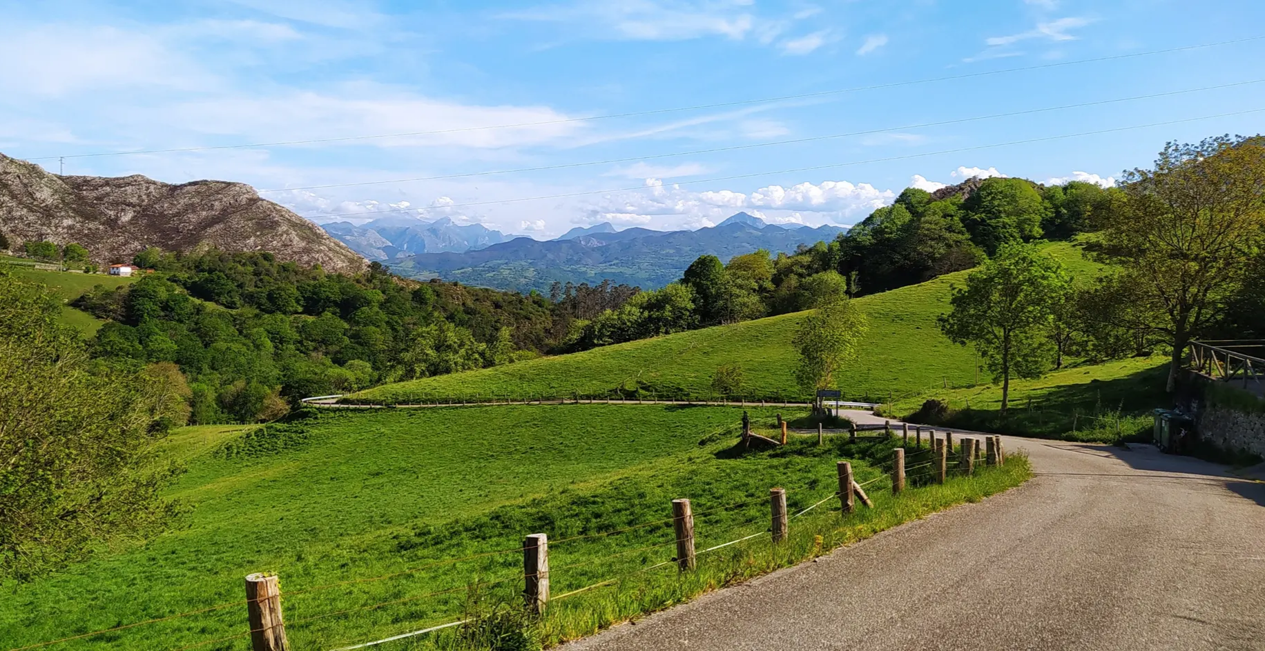
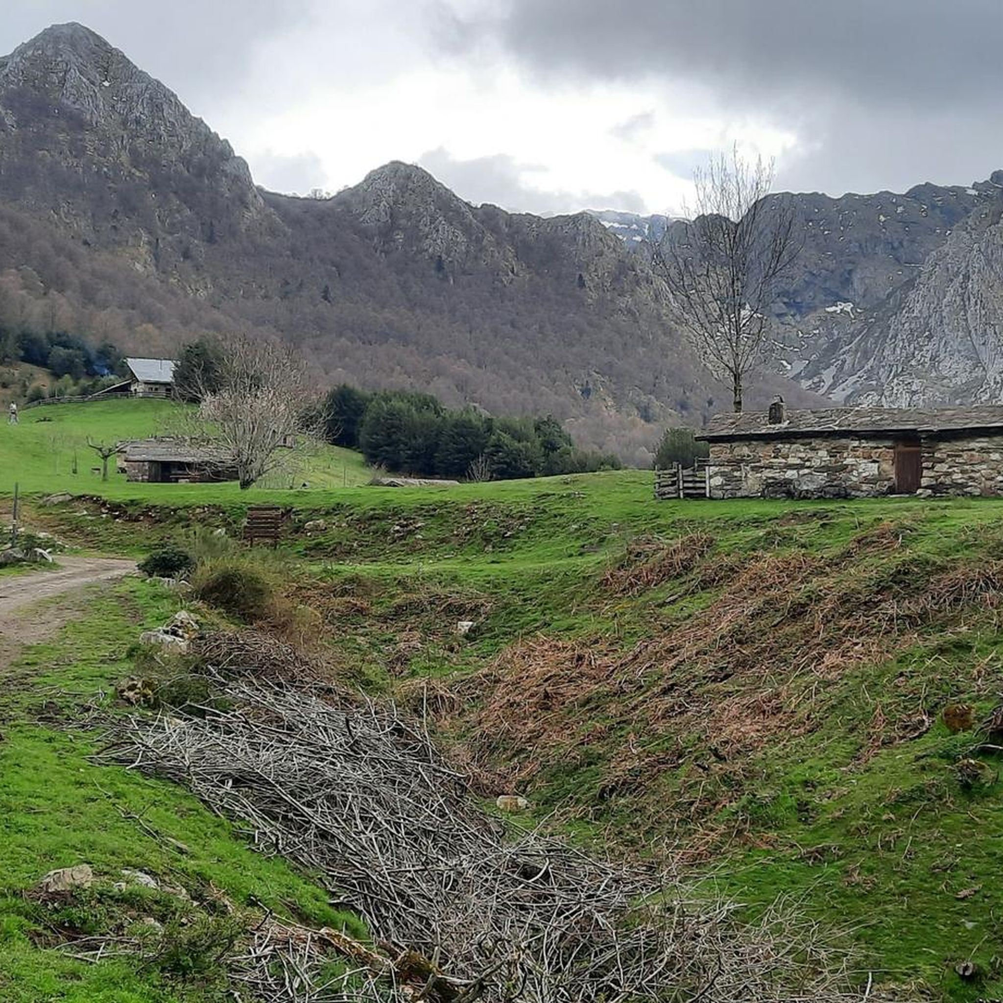
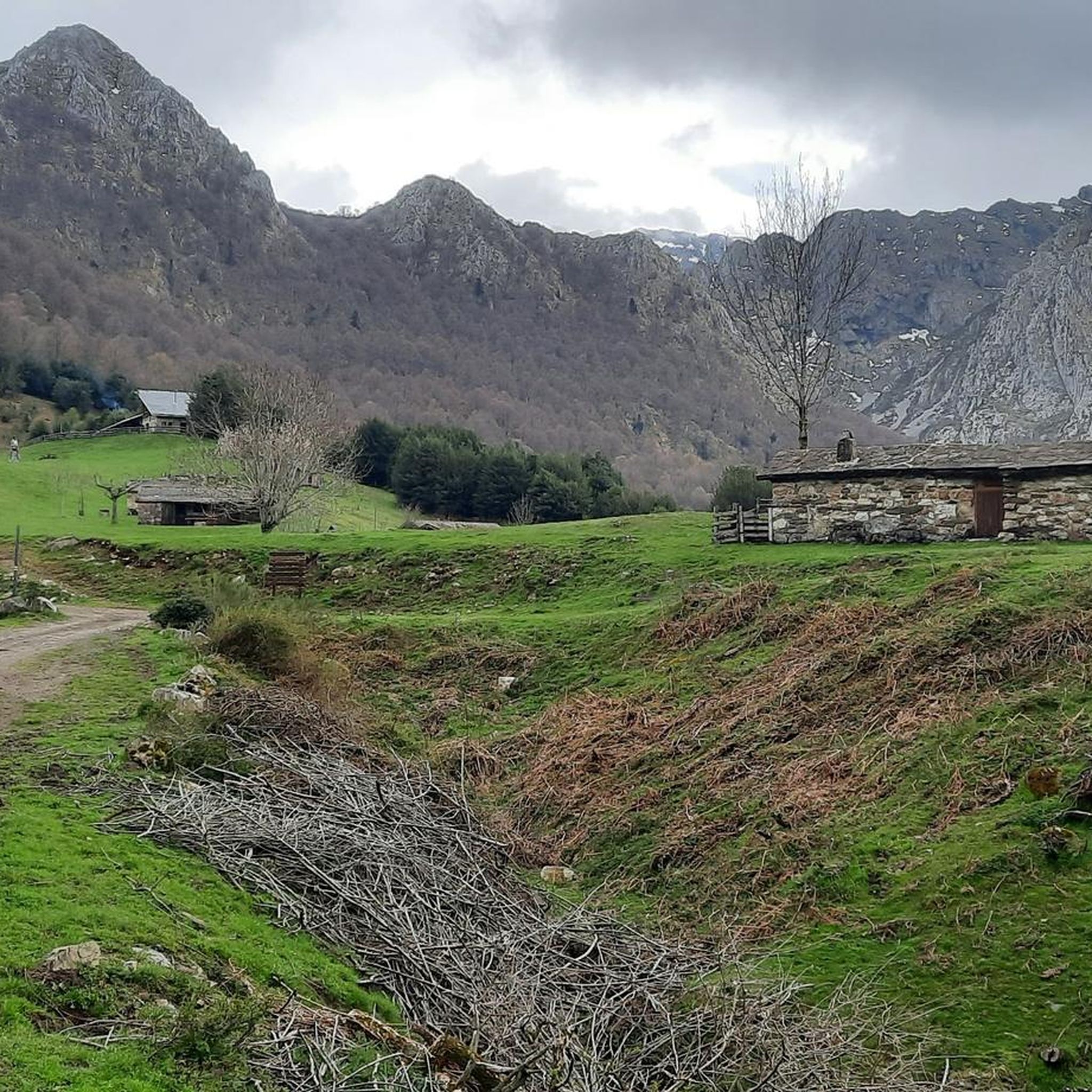
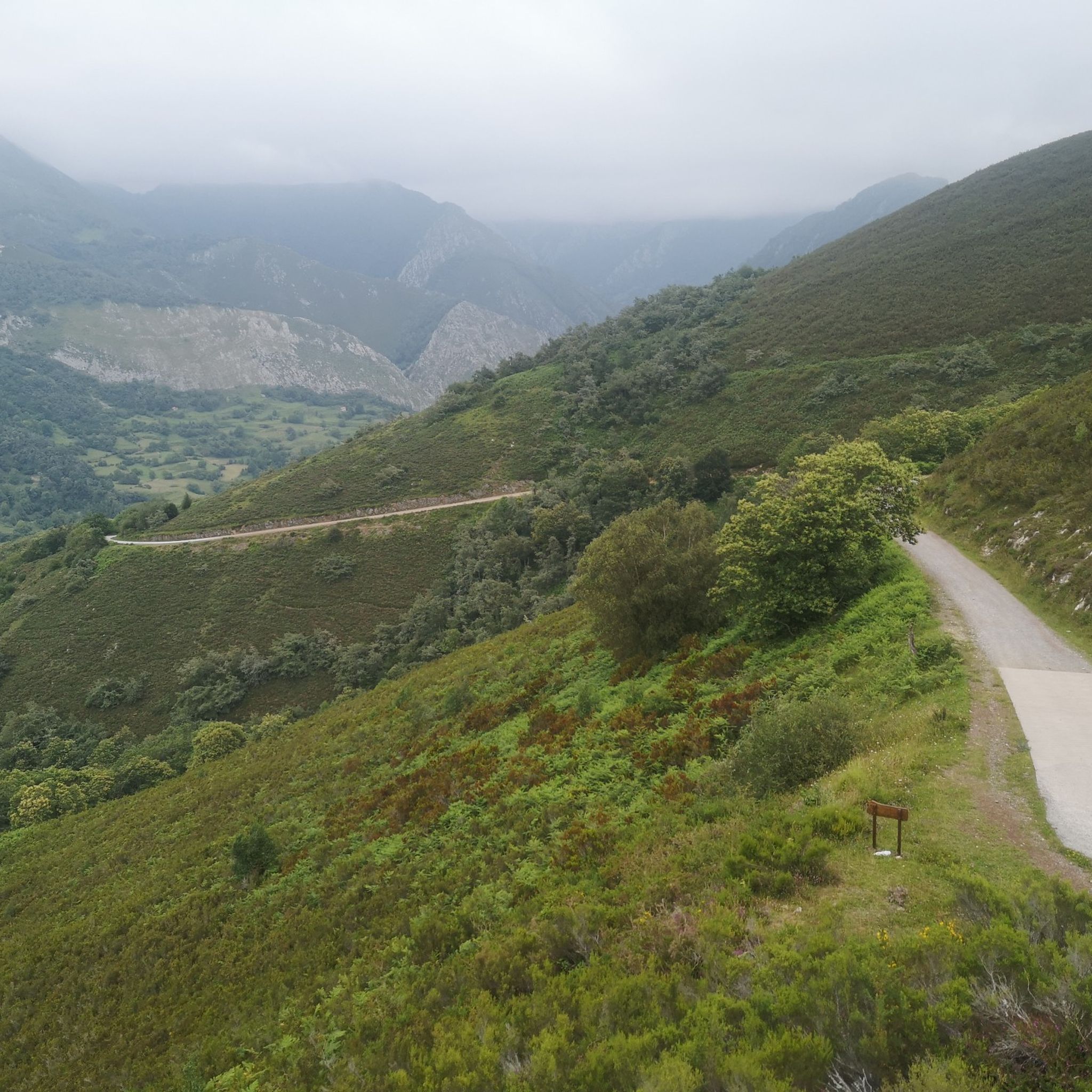

Other adventures around National Park Redes

Tips from the Community

The Tarna Pass seems hidden from tourism and constant traffic. It's located on one of the least-traveled and most beautiful passes between Asturias and León. The scenery at the top is spectacular.
1
0
This winding stretch of the Tarna Pass is a masterpiece. Not only do you climb through twists and turns, but the views take away what little breath you have left.
0
0
This road to the Tarna Pass is fascinating. The narrow strip of asphalt takes you along the valley floor of the upper Nalón through spectacular scenery.
0
0

The Puerto de La Tarna, from Riaño, is a challenging road climb offering steady gradients and spectacular views of the Riaño Mountains. From the summit, you can enjoy panoramic views of the surrounding valleys, reservoirs, and peaks.
0
0

A very broken road. On a road bike, you're guaranteed to get a flat if you don't break something, both uphill and downhill. Great on gravel.
0
0

It's a beautiful place and a dreamlike landscape. What a shame the shelter isn't working. These politicians we have don't do a single thing right.
0
0

A great, exciting and spectacular landscape.
1
1

A place where you can eat and enjoy the view of the river and the town.
0
0
Frequently Asked Questions
How many touring cycling routes are available in National Park Redes?
National Park Redes offers a diverse network of over 40 touring cycling routes. While many are challenging, there are options for various skill levels, including a few moderate and easy paths.
What is the general difficulty level for touring cycling in National Park Redes?
The terrain in National Park Redes is predominantly abrupt and mountainous, meaning most touring cycling routes are classified as difficult. Out of 43 routes, 40 are difficult, 2 are moderate, and 1 is easy. Cyclists should be prepared for significant elevation gains and varied surfaces.
Are there any circular touring cycling routes in National Park Redes?
Yes, many routes in National Park Redes are designed as loops, allowing you to start and finish in the same location. Examples include the challenging Collada de Arnicio Loop, the scenic Alto de La Colladona (850 m) loop from Oviñana, and the Tanes Village and Church – Tanes Reservoir loop from Bueres, which offers a moderate challenge.
What kind of natural features can I expect to see along the touring cycling routes?
The routes traverse a landscape rich in natural beauty. You'll encounter dense deciduous woodlands, primarily beech and oak, especially vibrant in autumn. The park is also known for its 'world of water,' with numerous rivers, streams, and impressive limestone gorges like the Arrudos and Alba River gorges. Notable waterfalls, such as the Tabayón del Mongayu Waterfall, are also part of the scenery.
Are there any family-friendly touring cycling options in National Park Redes?
While most routes in National Park Redes are challenging due to the mountainous terrain, there is at least one easy touring cycling route available. For families, it's advisable to look for routes with mostly paved surfaces and minimal elevation gain. Always check the route details for specific difficulty and terrain before setting out with children.
What are some interesting landmarks or villages to explore near the cycling routes?
Beyond the natural beauty, you can explore charming ancient villages like Caleao, Tarna, Bezanes, and Soto de Agües, which often serve as starting points for trails. Points of interest include the Soto de Agues Village, the Tarna Pass, and the Texu la Oración Viewpoint. The Asturian Museum of Wood and Timber (MUMA) in Veneros also offers cultural insights.
What is the best time of year for touring cycling in National Park Redes?
The park's deciduous woodlands, predominantly beech and oak, offer spectacular scenery during autumn when they burst into vibrant reds, oranges, and yellows. Spring also brings lush greenery. While cycling is possible through much of the year, be mindful of higher elevations and potential snow in winter, and always check local weather conditions before your ride.
Are there any routes that take me through dense woodlands or gorges?
Absolutely. The park is extensively forested, with approximately 40% covered by dense deciduous woodlands. Routes like the Caleao Village – Arrudos Trail loop from Área recreativa de Los Arrudos lead directly through these dense forests and limestone gorges, offering a truly immersive experience in nature.
What do other touring cyclists enjoy most about the routes in National Park Redes?
The touring cycling routes in National Park Redes are highly rated by the komoot community, with an average score of 4.6 stars from over 10 reviews. Cyclists often praise the dramatic landscapes, the challenging yet rewarding climbs, and the expansive views from higher elevations. The untouched natural environment and the variety of terrain are frequently highlighted.
Are there specific viewpoints or scenic spots along the touring cycling routes?
Yes, the mountainous terrain and open valleys provide numerous opportunities for breathtaking views. The Texu la Oración Viewpoint is a notable spot. Routes like the Alto de San Isidro – San Isidro Road loop from parking alquiler are known for rewarding cyclists with splendid panoramic vistas after significant ascents.
Is it possible to find parking at the trailheads for touring cycling routes?
Many villages within the park, such as Caleao, Tarna, Bezanes, and Soto de Agües, serve as common starting points for trails and typically offer parking facilities. For specific routes, it's recommended to check the individual route descriptions on komoot for details on designated parking areas near the trailheads.
What is the typical length and duration of touring cycling routes in National Park Redes?
The routes vary significantly in length and duration. For example, the Collada de Arnicio Loop is about 44 km (27.5 miles) and takes around 3 hours 26 minutes, while the Caleao Village – Arrudos Trail loop is 25.6 km (15.9 miles) and can take about 2 hours 59 minutes due to its challenging elevation. Routes range from moderate to difficult, so durations can vary based on fitness and terrain.
Most popular routes around National Park Redes
Most popular attractions around National Park Redes

Get inspired with the komoot mobile app


Explore more
Browse the best Cycling routes in other regions.
