The best MTB trails around Meißendorfer Teiche/Bannetzer Moor
4.5
(365)
761
riders
115
rides
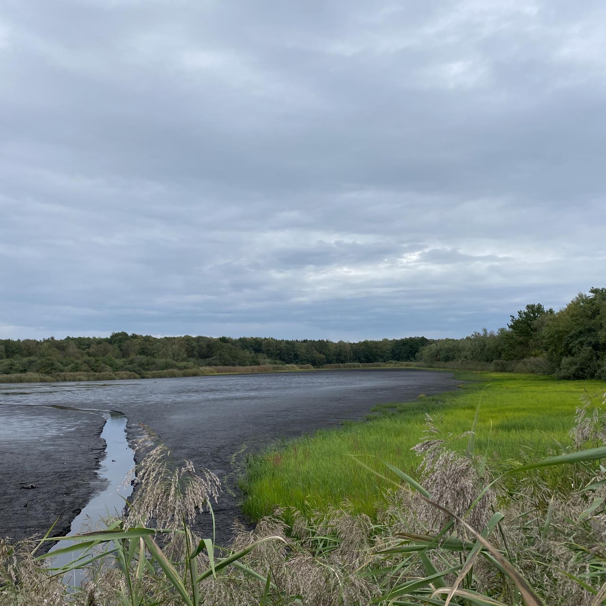
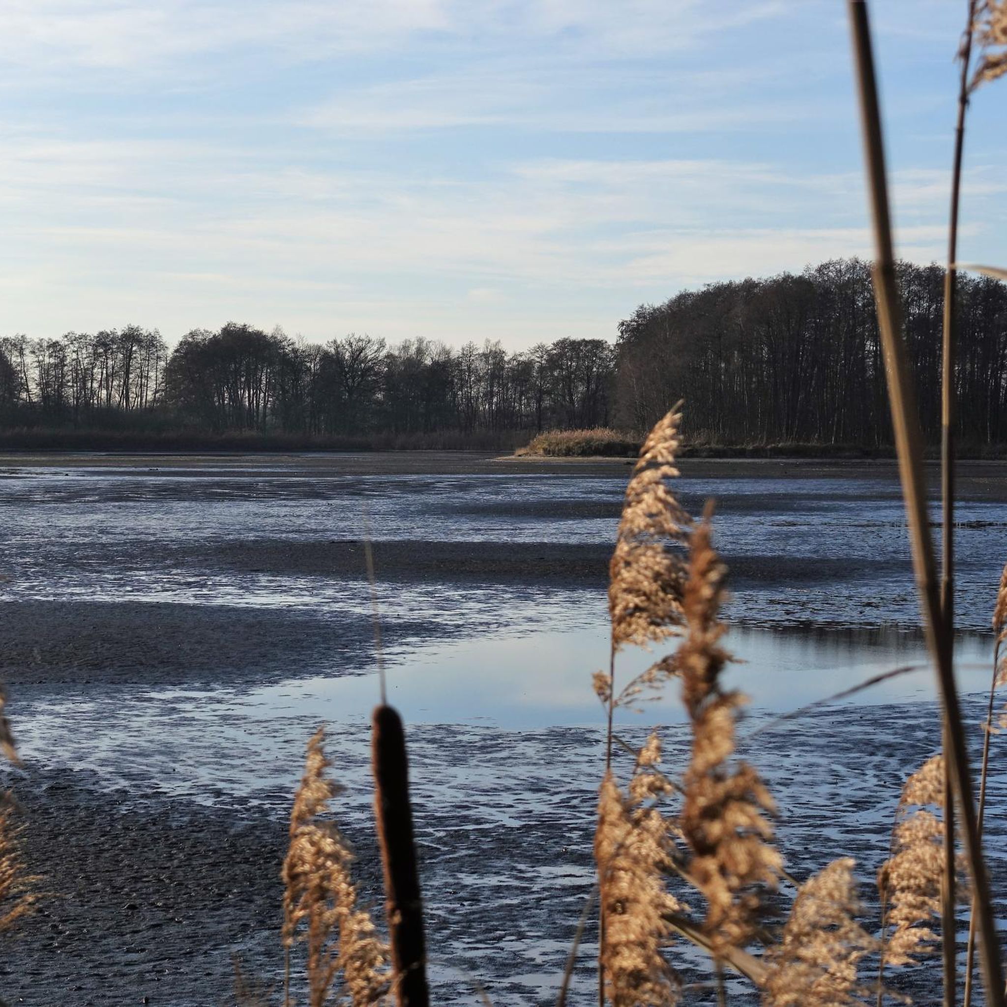
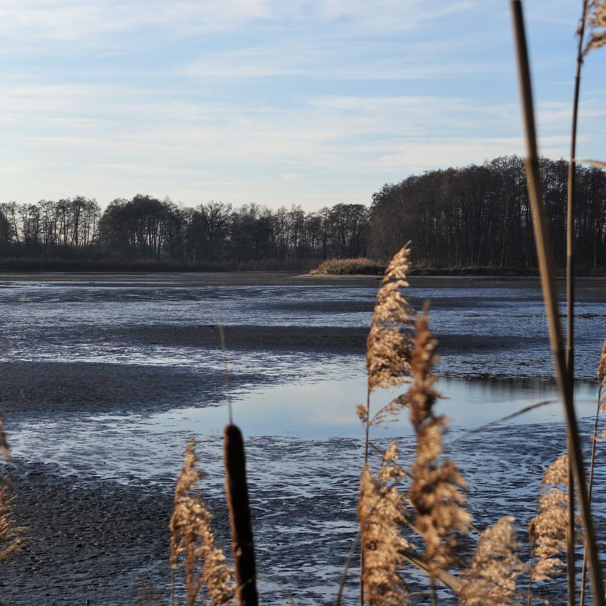
Mountain biking around Meißendorfer Teiche/Bannetzer Moor offers routes through a nationally recognized nature and bird sanctuary, characterized by an expansive water landscape with approximately 80 fish ponds. The terrain is predominantly flat, encompassing wetlands, meadows, alder forests, and sandy areas with pine trees. As a nature reserve, cycling is restricted to marked paths, limiting technical mountain biking opportunities. The area is better suited for leisurely rides and nature observation rather than challenging off-road experiences.
Best mountain bike trails around Meißendorfer…
Last updated: July 1, 2026
4.8
(11)
31
riders
Easy mountain bike ride. Great for any fitness level. Suitable for all skill levels.
4.5
(4)
15
riders
36.4km
02:24
40m
40m
Moderate mountain bike ride. Good fitness required. Advanced riding skills necessary.

Sign up for free
4.3
(4)
21
riders
19.2km
01:06
20m
20m
Easy mountain bike ride. Great for any fitness level. Suitable for all skill levels.
4.5
(6)
15
riders
33.3km
02:05
50m
50m
Moderate mountain bike ride. Good fitness required. Suitable for all skill levels.
5.0
(5)
15
riders
24.2km
01:32
30m
30m
Easy mountain bike ride. Great for any fitness level. Suitable for all skill levels.
Get access to more routes and recommendations from other explorers.
Sign up for free
Already have an account?
Our route recommendations are based on thousands of hikes, rides, and runs completed by other people on komoot.
Start today with a free account
Your next adventure awaits.
Login or Signup
Popular around Meißendorfer Teiche/Bannetzer Moor
Tips from the Community

The ice cream is very tasty and you can watch storks in the middle of Winsen.
0
0

Very calming to watch the animals
1
0

Also ideal for a short break on the tour.
0
0
Cow & horse mix on the Hornbostel pasture ... despite the colorful mix, everyone remains peaceful.
1
0
Here in the center of town you can get delicious ice cream and good coffee
2
0

You have to stop here, simply delicious
1
0

Over 90% of the roads are farm roads. Very little traffic.
2
0

The Ölberg (Oil Hill) in Wietze was formed from washing sand and spoil from oil production. It is a unique viewpoint. From 1930 until the final closure of the oil well in 1963, the Ölberg served as a dumping ground for this washing sand and spoil. The hill rises to a height of 41.5 meters and has been reclaimed by nature. Today, the Ölberg is not only a silent testament to Wietze's industrial past, but also a popular viewpoint and place for experiencing nature.
4
0
Frequently Asked Questions
What kind of mountain biking experience can I expect in Meißendorfer Teiche/Bannetzer Moor?
Mountain biking in Meißendorfer Teiche/Bannetzer Moor offers a tranquil experience through a nationally recognized nature and bird sanctuary. The terrain is predominantly flat, featuring wetlands, meadows, alder forests, and sandy areas with pine trees. Due to its status as a nature reserve, cycling is restricted to marked paths, making it ideal for leisurely rides and nature observation rather than challenging off-road experiences.
Are there mountain bike trails suitable for beginners or families in Meißendorfer Teiche/Bannetzer Moor?
Yes, the region is well-suited for beginners and families. Many of the trails are easy to moderate, offering relaxed exploration through the scenic landscape. For example, the Mountainbike loop from Meißendorf is an easy 3.4-mile (5.5 km) trail perfect for a gentle ride, offering views of the tranquil pond landscape.
Are there any challenging or advanced mountain bike trails in Meißendorfer Teiche/Bannetzer Moor?
Meißendorfer Teiche/Bannetzer Moor is not a destination for technical or advanced mountain biking. As a nature reserve, riding off marked paths is prohibited, and the flat terrain lacks the varied topography (steep climbs, descents, rocky sections) typically sought by advanced mountain bikers. The focus here is on peaceful, nature-oriented rides.
How many mountain bike trails are available in the Meißendorfer Teiche/Bannetzer Moor area?
There are over 120 mountain bike trails available in the Meißendorfer Teiche/Bannetzer Moor area, with 57 classified as easy and 68 as moderate. This wide selection ensures options for various preferences, all within the beautiful natural setting.
What are some popular circular mountain bike routes in the area?
Many routes in Meißendorfer Teiche/Bannetzer Moor are circular, allowing you to start and end at the same point. A popular choice is the Beninca Gelato & Caffe loop from Meißendorf, an easy 11.0-mile (17.7 km) trail that takes you through varied landscapes of ponds and forests.
What can I see along the mountain bike trails in Meißendorfer Teiche/Bannetzer Moor?
The trails offer numerous opportunities for nature observation. You can expect to see the expansive water landscape with its many fish ponds, diverse birdlife, and varied habitats including alder forests and sandy areas. Key attractions include the Hüttenseen Observation Tower, which provides panoramic views, and the Hüttensee Circular Trail, known for its scenic beauty.
What is the best time of year for mountain biking in Meißendorfer Teiche/Bannetzer Moor?
The Meißendorfer Teiche/Bannetzer Moor area is beautiful year-round for cycling. Spring and autumn offer pleasant temperatures and vibrant natural colors, while summer is ideal for longer days. Even in winter, the flat, well-maintained paths can be enjoyed, though conditions may vary with weather.
Are there any amenities like cafes or rest stops along the trails?
While the area emphasizes natural tranquility, you can find amenities nearby. The Rest Area at Hüttensee provides a spot to pause. Additionally, the NABU (BirdLife Germany) Visitor Center at Gut Sunder, located nearby, offers information and a café.
What do other mountain bikers enjoy most about the trails in Meißendorfer Teiche/Bannetzer Moor?
The area is highly rated by the komoot community, with an average score of 4.5 stars from over 300 reviews. Reviewers often praise the peaceful atmosphere, the beautiful pond landscape, and the well-maintained paths that are perfect for relaxed exploration and nature observation.
Where can I park my car when visiting the Meißendorfer Teiche/Bannetzer Moor for mountain biking?
Specific parking information for mountain biking routes is often detailed on individual tour pages on komoot. Generally, designated parking areas are available at key access points around the nature reserve, such as near the Hüttensee or other popular starting points for trails.
Can I reach the mountain bike trails using public transport?
While direct public transport access to every trailhead might be limited, it is possible to reach the general vicinity of Meißendorfer Teiche/Bannetzer Moor by public transport, often involving a combination of train and bus services to nearby towns. From there, you may need to cycle a short distance to reach the main trail network.
Are there any longer mountain bike routes for extended tours?
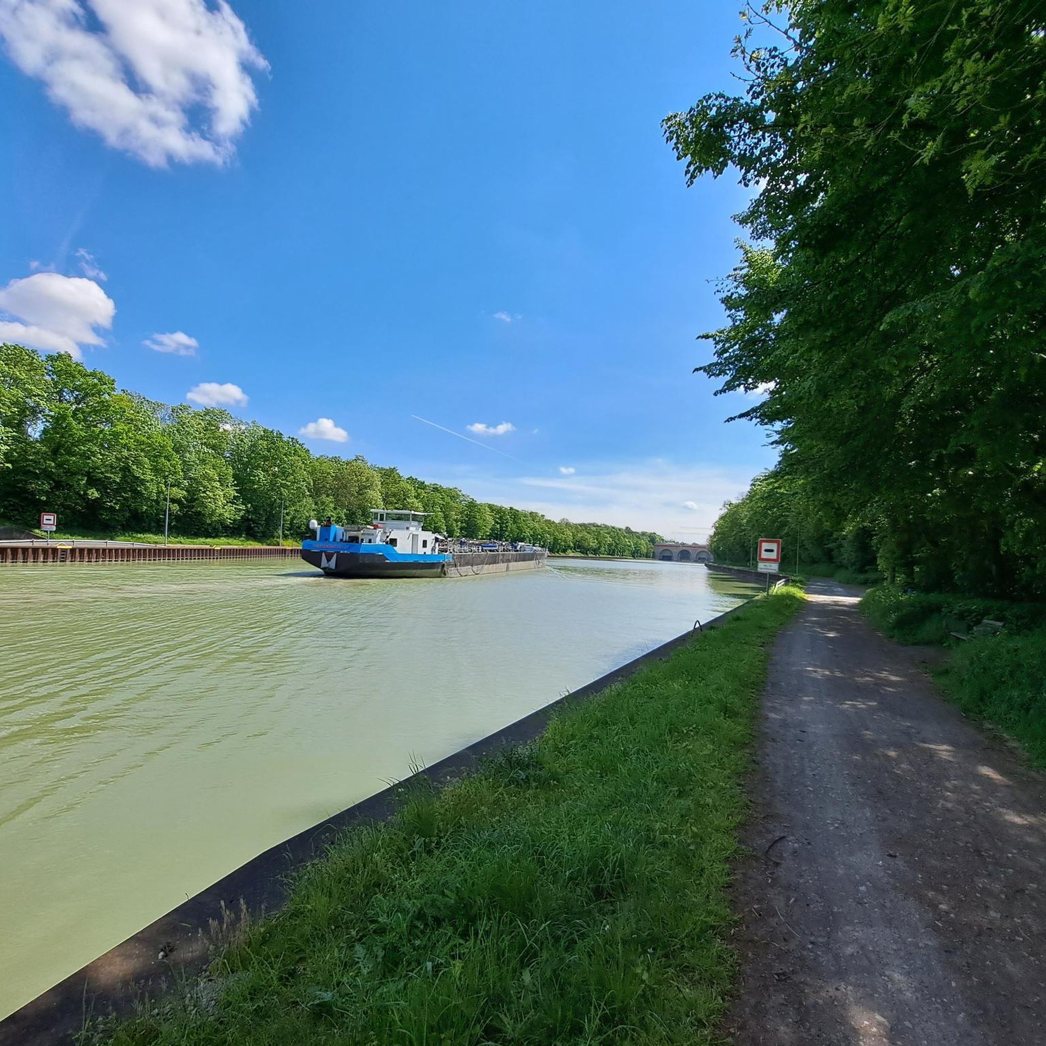
Yes, for those looking for longer rides, there are routes that extend further into the surrounding natural areas. The Aller Weir and Lock Bannetze – Aller Bridge (Winsen) loop from Meißendorf is a moderate 22.7-mile (36.6 km) path that follows the Aller river, offering a more extended tour through the flat, natural surroundings.
Most popular routes around Meißendorfer Teiche/Bannetzer Moor
Most popular attractions around Meißendorfer Teiche/Bannetzer Moor

Get inspired with the komoot mobile app


Explore more
Browse the best MTB trails in other regions.
