The best walks and hikes around Meißendorfer Teiche/Bannetzer Moor
4.5
(2105)
8,107
hikers
369
hikes
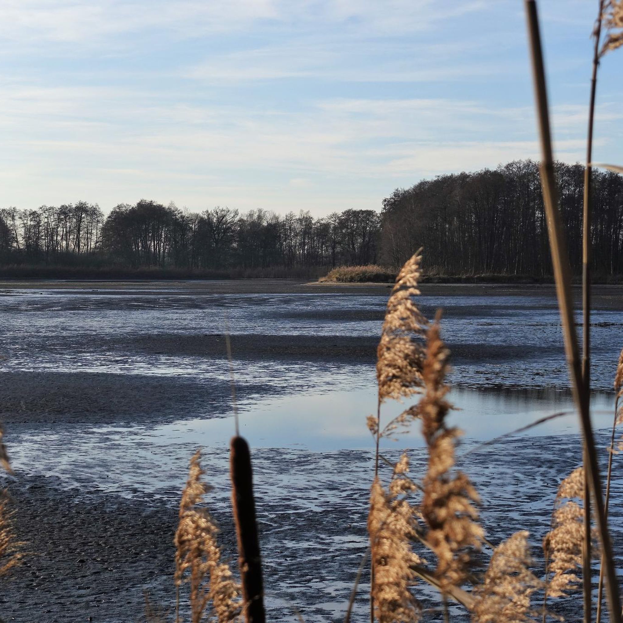
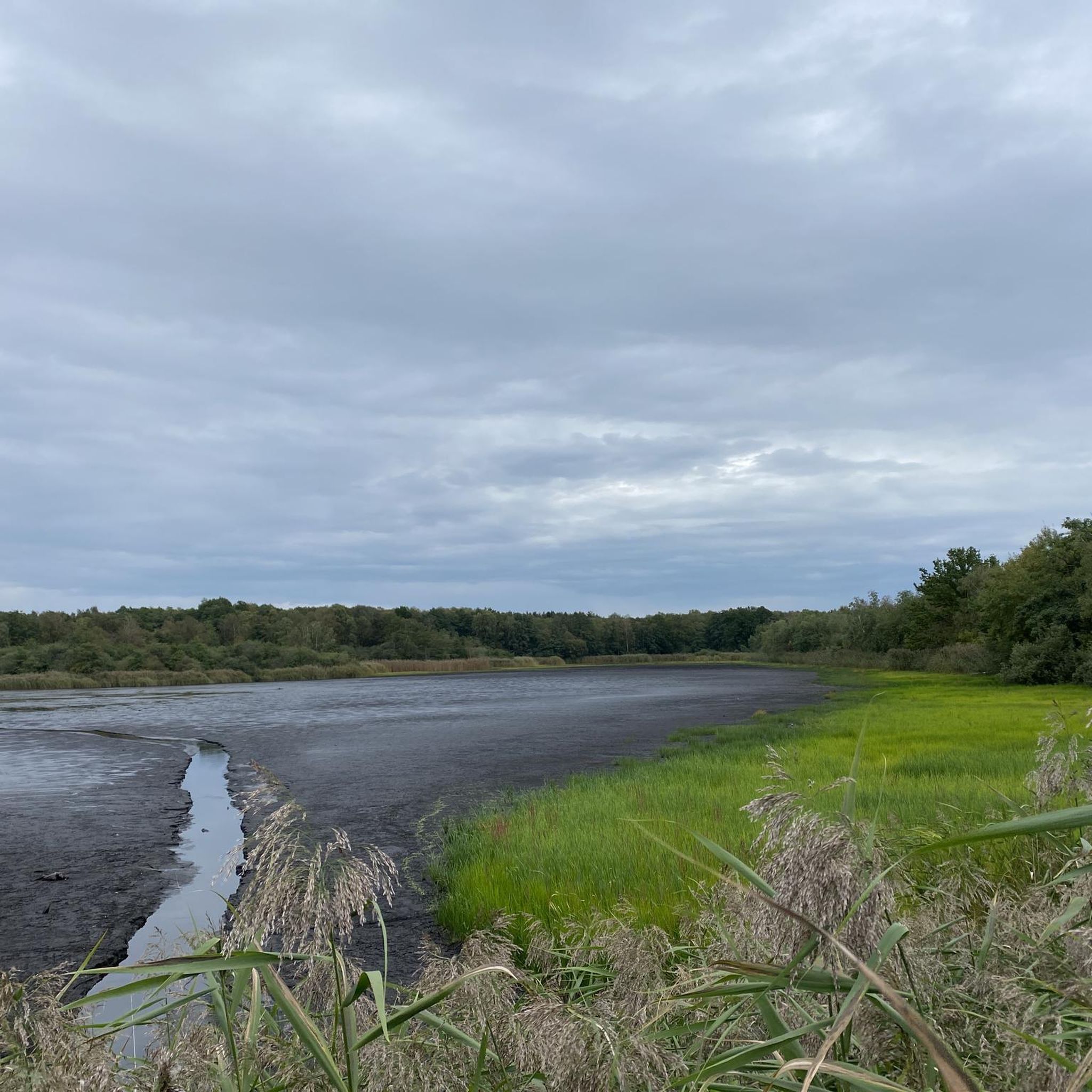
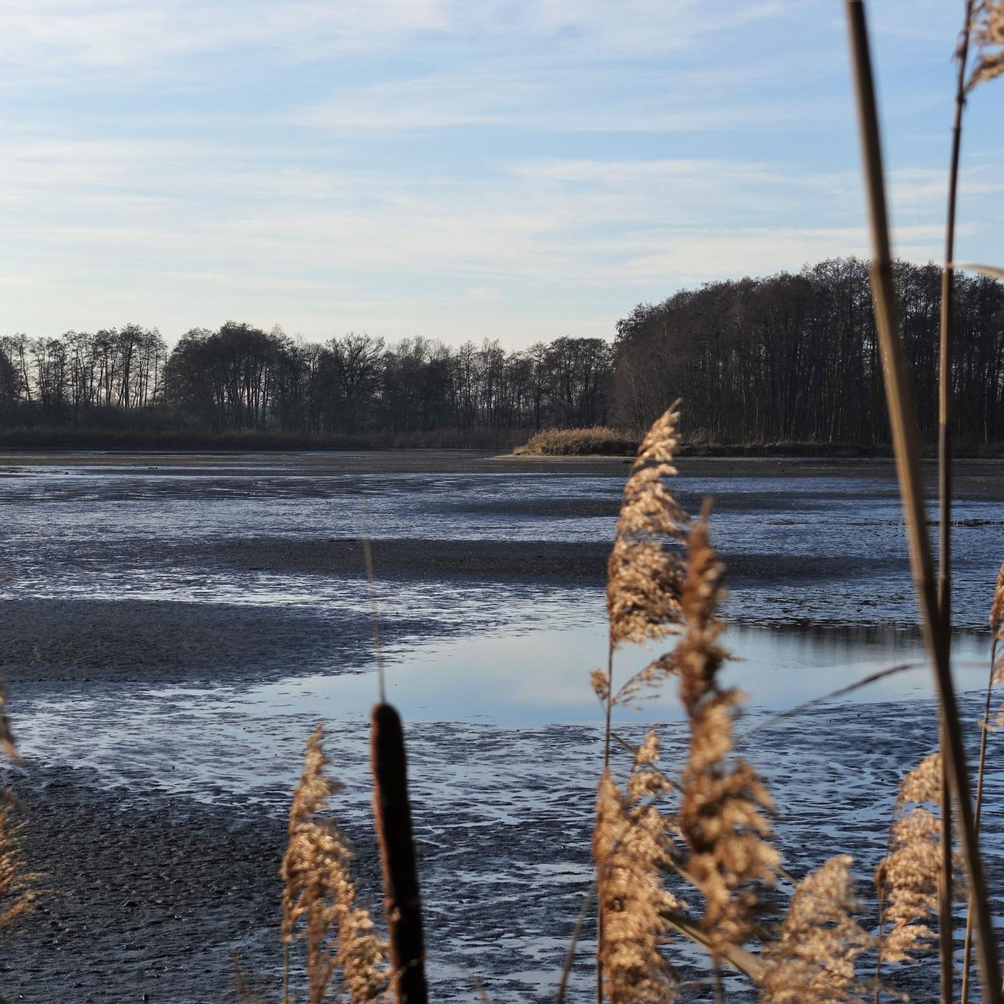
Hiking around Meißendorfer Teiche/Bannetzer Moor offers a diverse landscape characterized by approximately 80 interconnected fish ponds, making it the largest water feature in the Lüneburg Heath. The region includes parts of the Meiße valley with meadows and alder wood marshes, as well as areas of alluvial sand covered with pines. This mosaic of wetlands, moorland, grasslands, and forests provides varied terrain for outdoor activities.
Best hiking trails around Meißendorfer Teiche/Bannetzer Moor
- The most popular hiking route is Lake Hüttensee –…
Last updated: July 11, 2026
4.7
(721)
2,529
hikers
Easy hike. Great for any fitness level. Easily-accessible paths. Suitable for all skill levels.
4.7
(535)
1,903
hikers
Easy hike. Great for any fitness level. Easily-accessible paths. Suitable for all skill levels.

Sign up for free
4.6
(22)
72
hikers
9.99km
02:32
20m
20m
Moderate hike. Good fitness required. Easily-accessible paths. Suitable for all skill levels.
4.7
(18)
59
hikers
Easy hike. Great for any fitness level. Easily-accessible paths. Suitable for all skill levels.
5.0
(7)
40
hikers
Easy hike. Great for any fitness level. Easily-accessible paths. Suitable for all skill levels.
Get access to more routes and recommendations from other explorers.
Sign up for free
Already have an account?
Our route recommendations are based on thousands of hikes, rides, and runs completed by other people on komoot.
Start today with a free account
Your next adventure awaits.
Login or Signup
Popular around Meißendorfer Teiche/Bannetzer Moor
Tips from the Community

Certainly the most comfortable bench of all along this trail. But the view is the same: corn, corn, corn...
0
0
Although quite small, it is definitely worth seeing
0
0
A worthwhile excursion destination in idyllic surroundings
0
0
The small circular path behind the manor house is absolutely worthwhile
0
0
The realm of the Heath Queen of Meißendorf is quite manageable, but contains everything you would expect from a heath area
0
0
From the west bank you have the most beautiful view over the lake
0
0

beautiful view of the lake
0
0
Frequently Asked Questions
How many hiking trails are available in Meißendorfer Teiche/Bannetzer Moor?
There are over 380 hiking trails in Meißendorfer Teiche/Bannetzer Moor. This includes a wide range of options, with more than 260 easy routes, 113 moderate trails, and 12 more challenging paths, ensuring there's something for every hiker.
What kind of terrain can I expect when hiking in Meißendorfer Teiche/Bannetzer Moor?
The region offers a diverse landscape, characterized by approximately 80 interconnected fish ponds, extensive wetlands, and parts of the Meiße valley with meadows and alder wood marshes. You'll also find areas of alluvial sand covered with pines and heathland. This mosaic of habitats provides varied and engaging terrain, from flat paths around lakes to trails through forests and moorland.
Are there easy hiking options suitable for beginners or casual walkers?
Yes, Meißendorfer Teiche/Bannetzer Moor is very beginner-friendly, with over 260 easy routes. A popular choice is the Lake Hüttensee – Hüttensee Circular Trail loop from Meißendorf, which is about 4.9 km long and takes around 1 hour 15 minutes to complete, offering beautiful views of the lake.
Are there any challenging hikes in the Meißendorfer Teiche/Bannetzer Moor area?
While the area is largely known for its gentle terrain, there are 12 routes classified as difficult for those seeking a greater challenge. These trails might involve longer distances or slightly more varied ground, but generally, the region is not known for significant elevation changes.
What are the best places for birdwatching in Meißendorfer Teiche/Bannetzer Moor?
Meißendorfer Teiche/Bannetzer Moor is a nationally significant bird reserve, home to over 130 breeding bird species and a crucial resting area for migratory birds. Several observation towers, such as the Hüttenseen Observation Tower, provide excellent vantage points for birdwatching. The Hüttensee Circular Trail – Hüttenseen Observation Tower loop from Meißendorf is a great route to explore these spots.
Are there any circular hiking routes in the region?
Yes, circular routes are a highlight of the Meißendorfer Teiche/Bannetzer Moor. The Hüttensee Circular Trail is particularly popular, offering an easy loop around the lake. Another option is the Hüttensee Loop – Camping Park Hüttensee loop from Meißendorfer Teiche/Bannetzer Moor, a shorter route perfect for a quick stroll.
What can I see along the hiking trails besides the lakes and moorland?
Beyond the beautiful lakes and moorland, you can explore diverse habitats including meadows, alder wood marshes, and pine forests. Keep an eye out for the rich biodiversity, including over 40 species of dragonflies and various amphibians. You can also visit the Meißendorfer Teiche and Bannetzer Moor Nature Reserve itself, or enjoy a break at the Gut Sunder Café and Restaurant, which is part of a historic manor house near the reserve.
Is Meißendorfer Teiche/Bannetzer Moor suitable for family hikes?
Absolutely. The area's numerous easy and moderate trails, combined with its tranquil environment and opportunities for wildlife observation, make it ideal for families. The relatively flat terrain around the ponds, like the Hüttensee Circular Trail, is particularly well-suited for walks with children.
What do other hikers enjoy the most about hiking in Meißendorfer Teiche/Bannetzer Moor?
The area is highly rated by the komoot community, with an average score of 4.6 stars from over 1900 reviews. Hikers often praise the tranquility, the stunning natural beauty of the interconnected ponds, and the rich birdlife. Many appreciate the well-maintained paths and the opportunities for peaceful nature observation.
Are there any heathland trails in the Meißendorfer Teiche/Bannetzer Moor region?
Yes, the region also features heathland areas. For example, the Meißendorf Heath Area – Meißendorf Heathland loop from Meißendorf is a 10.1 km trail that takes you through these unique landscapes, offering a different natural experience compared to the wetlands.
What is the best time of year to visit Meißendorfer Teiche/Bannetzer Moor for hiking?
The Meißendorfer Teiche/Bannetzer Moor is beautiful year-round. Spring and autumn are particularly popular for birdwatching due to migratory patterns. Summer offers lush greenery and pleasant temperatures for walks, while winter can provide a serene, frosty landscape. The diverse habitats ensure there's always something to see, regardless of the season.
Most popular routes around Meißendorfer Teiche/Bannetzer Moor
Most popular attractions around Meißendorfer Teiche/Bannetzer Moor

Get inspired with the komoot mobile app


Explore more
Browse the best Hikes in other regions.
