N.S.G. Gevelsberger Stadtwald
N.S.G. Gevelsberger Stadtwald
The best road cycling routes around N.S.G. Gevelsberger Stadtwald
4.5
(1046)
11,516
riders
185
rides
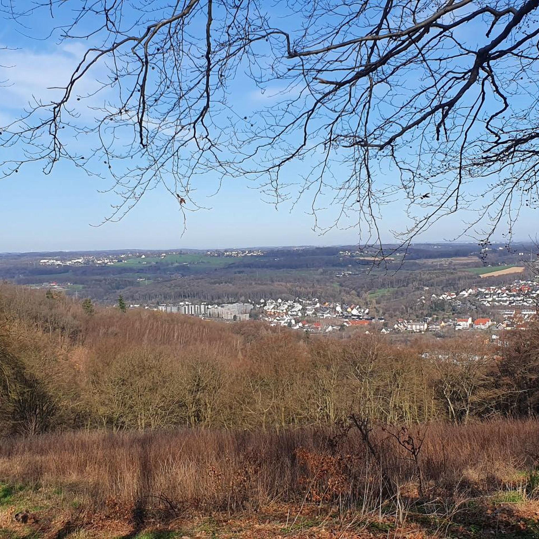
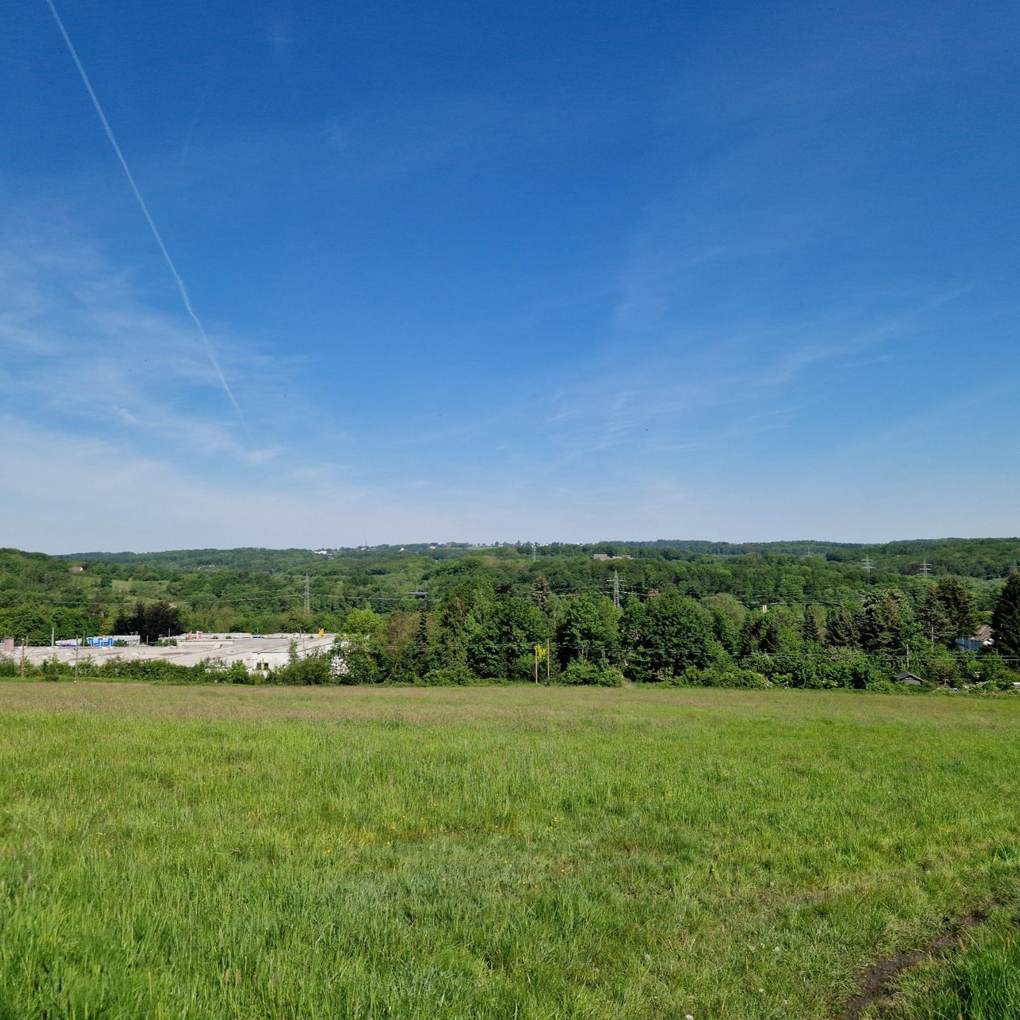
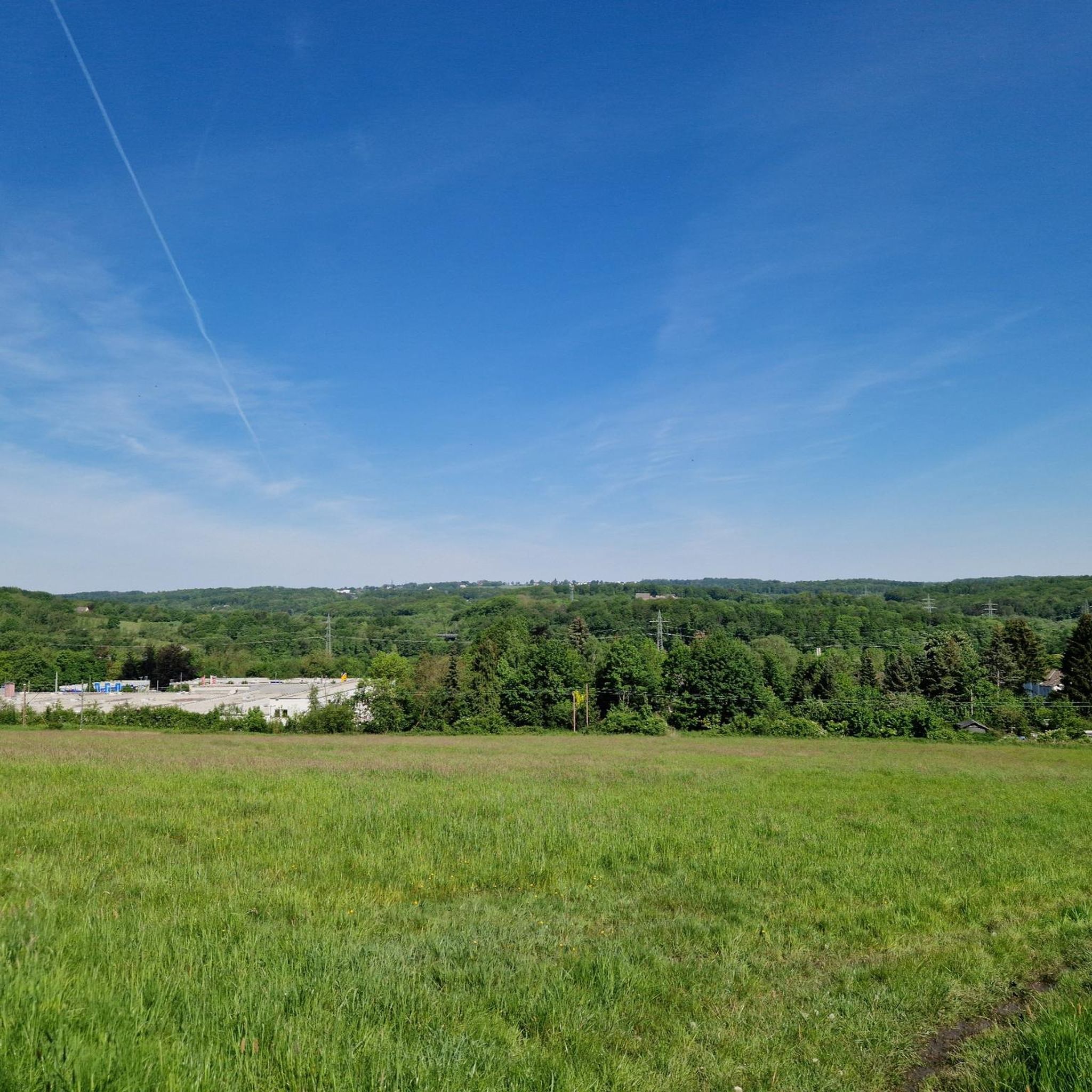
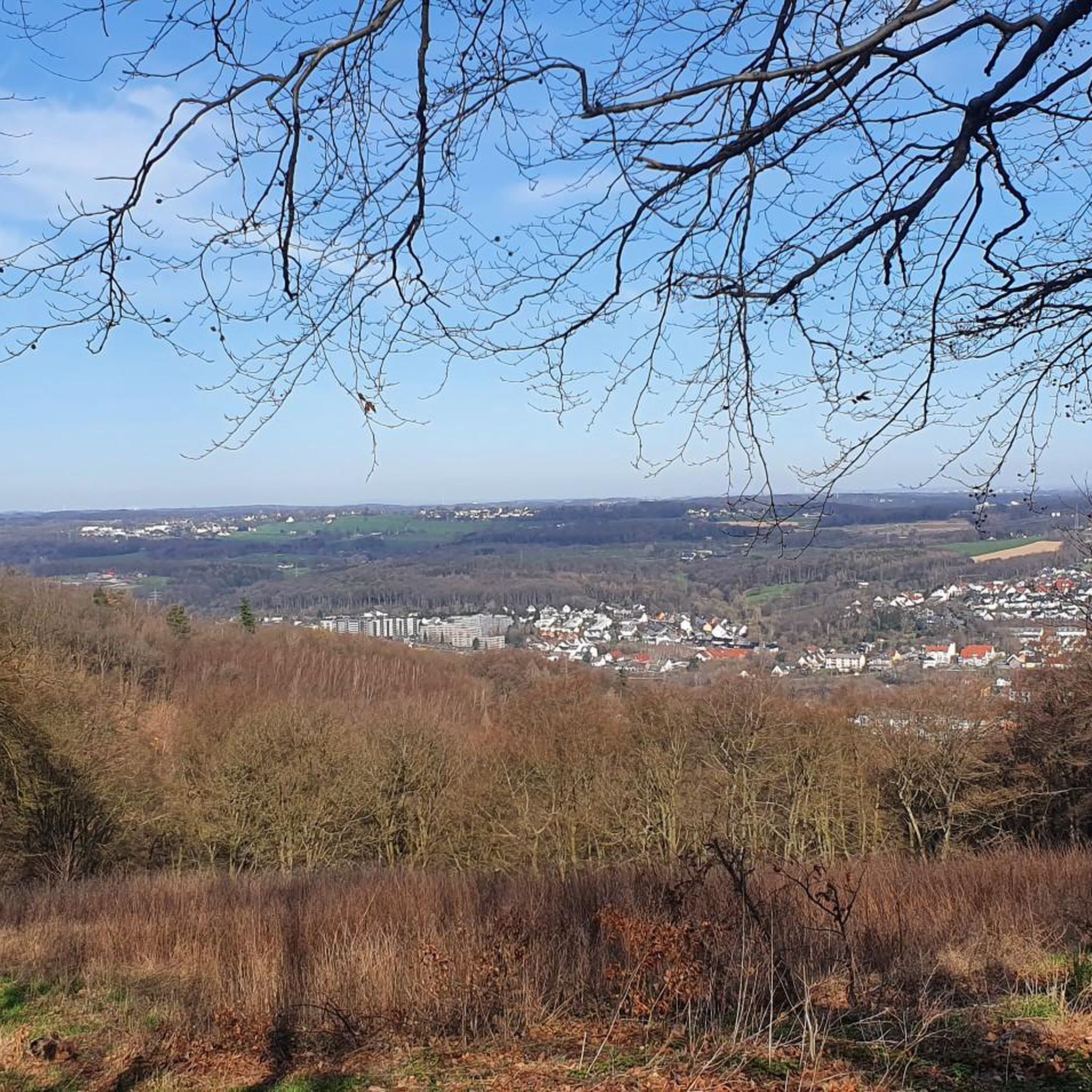
Road cycling routes around N.S.G. Gevelsberger Stadtwald traverse a hilly landscape characterized by green hills, river valleys, and extensive forests. The region features carved valleys and natural stream courses, with elevations reaching around 300 meters on various hills. Many cycling paths utilize former railway lines, providing routes with gentle inclines and mostly well-paved surfaces suitable for road bikes. The broader area around Gevelsberg offers a network of roads and dedicated cycle paths connecting to the nature reserve's periphery.
Best road…
Last updated: October 20, 2026
4.3
(28)
346
riders
42.4km
02:04
550m
550m
Moderate road ride. Good fitness required. Mostly well-paved surfaces and easy to ride.
4.3
(4)
47
riders
20.0km
00:55
210m
210m
Easy road ride. Great for any fitness level. Mostly well-paved surfaces and easy to ride.

4.0
(2)
28
riders
Hard road ride. Very good fitness required. Mostly well-paved surfaces and easy to ride.
5.0
(1)
27
riders
34.8km
01:44
370m
370m
Moderate road ride. Good fitness required. Some segments of this route may be unpaved and difficult to ride.
10
riders
110km
05:49
1,990m
1,990m
Hard road ride. Very good fitness required. Mostly well-paved surfaces and easy to ride.
Get access to more routes and recommendations from other explorers.
Already have an account?
Our route recommendations are based on thousands of hikes, rides, and runs completed by other people on komoot.
Start today with a free account
Your next adventure awaits.
Tips from the Community


At 8% incline, you are allowed to stop and enjoy the scenery 😉
0
0

During rush hour, there is a lot of traffic here and some motorcycles on weekends. However, the asphalt is very good and the route is really picturesque with some good views.
0
0

Poor lighting. Bike lights are recommended. Pedestrians and cyclists have separate lanes.
2
0

Great climb that leads fairly flat on great asphalt to Breckerfeld.
4
0

It's about 4 km uphill, but you have beautiful views 😍
0
0

for shooting or relaxing rolling!
0
0

Small serpentine ride, if only the asphalt on the tracks were everywhere🙈😁
0
0
Frequently Asked Questions
How many road cycling routes are available around N.S.G. Gevelsberger Stadtwald?
There are nearly 200 road cycling routes in the broader region around N.S.G. Gevelsberger Stadtwald, offering a wide variety of options for different skill levels. You'll find everything from easy loops to more challenging rides with significant elevation gain.
What are the typical characteristics of road cycling routes in this area?
Road cycling routes around N.S.G. Gevelsberger Stadtwald are characterized by a hilly landscape with green hills and river valleys. Many paths utilize former railway lines, which provide gentle inclines and mostly well-paved surfaces. For more ambitious cyclists, there are also smaller, winding roads through the hilly terrain, away from main roads, offering opportunities for significant elevation gain.
Are there easy road cycling routes suitable for beginners or families?
Yes, the region offers several easy road cycling routes. These often make use of converted railway lines, providing consistent surfaces and gentle gradients. An example is the Fox Mural in Milspe – Landgasthof Burgermühle loop from Ennepetal (Gevelsberg), which is 12.5 miles (20.1 km) long with minimal elevation gain. Another easy option is the Geyssberger Schlossgarten – Büddinghardt Forest Path loop from Ennepetal (Gevelsberg).
What kind of surfaces can I expect on the road cycling routes?
Most road cycling routes in the region feature well-paved surfaces, especially those utilizing former railway lines. However, it's worth noting that while the core N.S.G. Gevelsberger Stadtwald is primarily for hiking, some routes in the broader area might include short segments that are unpaved. Always check the route details on komoot for specific surface information.
Are there any challenging road cycling routes for experienced riders?
Absolutely. For experienced riders seeking a challenge, the hilly landscape around Gevelsberg offers routes with significant elevation gain. The View of the Ennepetalsperre – View of the Ennepetal Dam loop from Ennepetal (Gevelsberg) is a difficult 46.7 miles (75.1 km) trail with nearly 1000 meters of ascent, leading through the hilly landscape with views of the Ennepetal Dam.
What interesting sights or landmarks can I see along the road cycling routes?
The region offers several points of interest. You can find scenic viewpoints like the View of the Ruhr Region, offering expansive panoramas. Historical sites include the War Memorial Gevelsberg. For families, the Wild Boar Enclosure in Gevelsberger Stadtwald is a popular attraction. Many routes also pass through diverse forests and river valleys.
Can I find circular road cycling routes in the N.S.G. Gevelsberger Stadtwald area?
Yes, many of the road cycling routes in the region are designed as loops, allowing you to start and end at the same point. A popular example is the Nordbahntrasse – Schwarzbachtrasse loop from Ennepetal (Gevelsberg), a moderate 26.3 miles (42.3 km) route utilizing converted railway lines.
What do other road cyclists think about the routes in N.S.G. Gevelsberger Stadtwald?
The road cycling routes in this area are highly rated by the komoot community, with an average score of 4.5 stars from over 800 reviews. Cyclists often praise the varied terrain, the well-maintained paths, and the scenic beauty of the green hills and river valleys.
Is it possible to reach the road cycling routes using public transport?
The broader Gevelsberg and Ennepetal region is generally accessible, and many routes start from towns like Ennepetal (Gevelsberg) which have public transport connections. While specific public transport options directly to every trailhead within the Stadtwald's periphery might vary, planning your route start point near a train station or bus stop in the surrounding towns is usually feasible.
Are there specific parking facilities for road cyclists near the routes?
Parking is generally available in the towns surrounding N.S.G. Gevelsberger Stadtwald, such as Ennepetal and Gevelsberg, which serve as common starting points for many road cycling routes. Look for public parking areas within these towns, especially near converted railway lines or popular trailheads.
Are there any specific regulations for cycling within the N.S.G. Gevelsberger Stadtwald nature reserve itself?
While the N.S.G. Gevelsberger Stadtwald is primarily highlighted for hiking, and specific regulations within nature reserves can restrict cycling to approved paths, the broader Gevelsberg area offers an excellent network of paved roads and dedicated cycle paths on its periphery. Road cyclists are generally advised to stick to these well-paved roads and designated cycle paths rather than venturing onto potentially unpaved or restricted paths within the core nature reserve.
Can I find places to eat or drink near the road cycling routes?
Yes, the towns and villages surrounding N.S.G. Gevelsberger Stadtwald, such as Ennepetal and Gevelsberg, offer various cafes, pubs, and restaurants where you can refuel during or after your ride. Many routes pass through or near these settlements, making it convenient to find refreshments.
Most popular routes around N.S.G. Gevelsberger Stadtwald
Most popular attractions around N.S.G. Gevelsberger Stadtwald

Get inspired with the komoot mobile app


Explore more
Browse the best Road cycling routes in other regions.
