The 9 Most Amazing Peaks around Santa María De La Alameda
Best mountain peaks around Santa María De La Alameda are situated within the Sierra de Guadarrama in the Community of Madrid, offering an elevated natural setting. The municipality itself is located at over 1,400 meters above sea level, providing a perspective of the surrounding western Madrid mountains. This region features a diverse landscape with notable mountain points and hiking opportunities.
Best mountain peaks around Santa María De La Alameda
- The most popular mountain peaks is Mount Abantos, a summit that is considered one of the classic peaks of the Guadarrama mountain range. It offers an easy ascent via the GR-10 trail and provides panoramic views from its summit.
- Another must-see spot is Cabeza Líjar Summit, a summit known for its views. From this point, visitors can observe both Castilla y León and the Community of Madrid.
- Visitors also love Puerto de Malagón, a mountain pass with significant importance in the Spanish cycling scene. This border port between Madrid and Ávila offers views of the Community of Madrid.
- Santa María De La Alameda is known for its summits, mountain passes, and viewpoints. The region offers a variety of mountain peaks to see and explore, catering to different levels of hiking experience.
- The mountain peaks around Santa María De La Alameda are appreciated by the komoot community, with over 120 upvotes and 50 photos shared.
Last updated: July 12, 2026
Mount Abantos
Highlight • Summit
Translated by Google •
Tip by

Puerto de Malagón
Highlight • Mountain Pass
Translated by Google •
Tip by
Sign up now to discover places like this
Get recommendations on the best single tracks, peaks, & plenty of other exciting outdoor places.
Sign up for free
Bear Cave
Highlight • Natural Monument
Translated by Google •
Tip by
Cabeza Líjar Summit
Highlight • Summit
Translated by Google •
Tip by
Entrance to Cueva Valiente
Highlight • Cave
A popular route starts from San Rafael and takes approximately 4 hours in total to reach Cueva Valiente and return. The trail follows a network of paths, some of which can be difficult to follow, so carrying a map or GPS is recommended. The total distance is 11.2 kilometers, with an ascent of 689 meters and an equal descent. The maximum altitude reached is 1903 meters.
If you are interested in exploring this beautiful mountain, I encourage you to take the hike! 😊
Translated by Google •
Tip by
Sign up for free to discover even more peaks around Santa María De La Alameda.
Sign up for free
Already have an account?
Start today with a free account
Your next adventure awaits.
Login or Signup
Popular around Santa María De La Alameda


Tips from the Community

The Bear Cave in San Lorenzo de El Escorial is not a real, deep cave in the geological sense, but rather a peculiar rock formation in the Bosque de la Herrería. It is a natural cavity formed by the arrangement of large granite boulders that create a kind of shelter or "cave." It is located in the Bosque de la Herrería, a protected natural area declared a UNESCO World Heritage Site. It is on a very popular hiking trail, relatively close to the Chair of Philip II and the Fuente de los Hermanitos. Its name comes from the fact that its shape and size might evoke the idea of a bear's den, although no real bear ever lived there. Rather, it is a visual attraction, especially for children. Beyond being a "real" cave, it is a point of interest on the hiking trails in the Bosque de la Herrería.
0
0

Cueva Valiente is a mountain located in the Sierra de Guadarrama, part of the Central System. A popular route starts from San Rafael and takes approximately 4 hours in total to reach Cueva Valiente and return. The trail follows a network of paths, some of which can be difficult to follow, so carrying a map or GPS is recommended. The total distance is 11.2 kilometers, with an ascent of 689 meters and an equal descent. The maximum altitude reached is 1903 meters. If you are interested in exploring this beautiful mountain, I encourage you to take the hike! 😊
2
0

The port of Malagón, also known as Alto de Abantos or Puerto de San Juan de Malagón, is a mountain pass located in the southwest area of the Sierra de Guadarrama. It has an altitude of 1590 meters and separates the Spanish provinces of Madrid and Ávila.
0
0

Legendary peak that not only has magnificent views but also plays a great role in the history of sports in Spain.
0
0

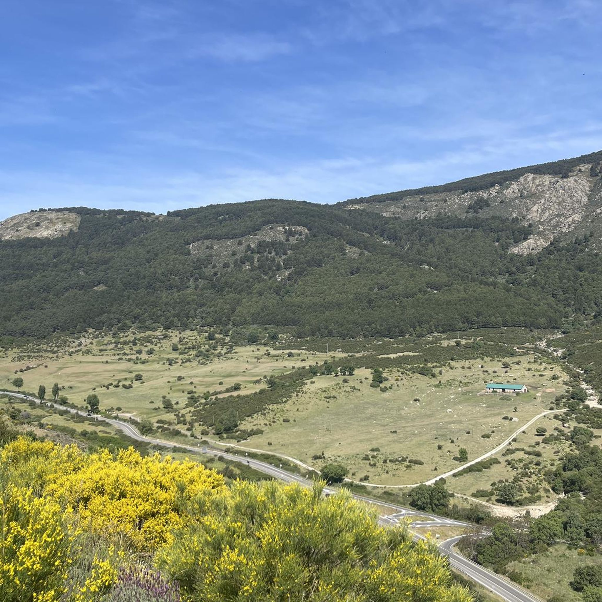
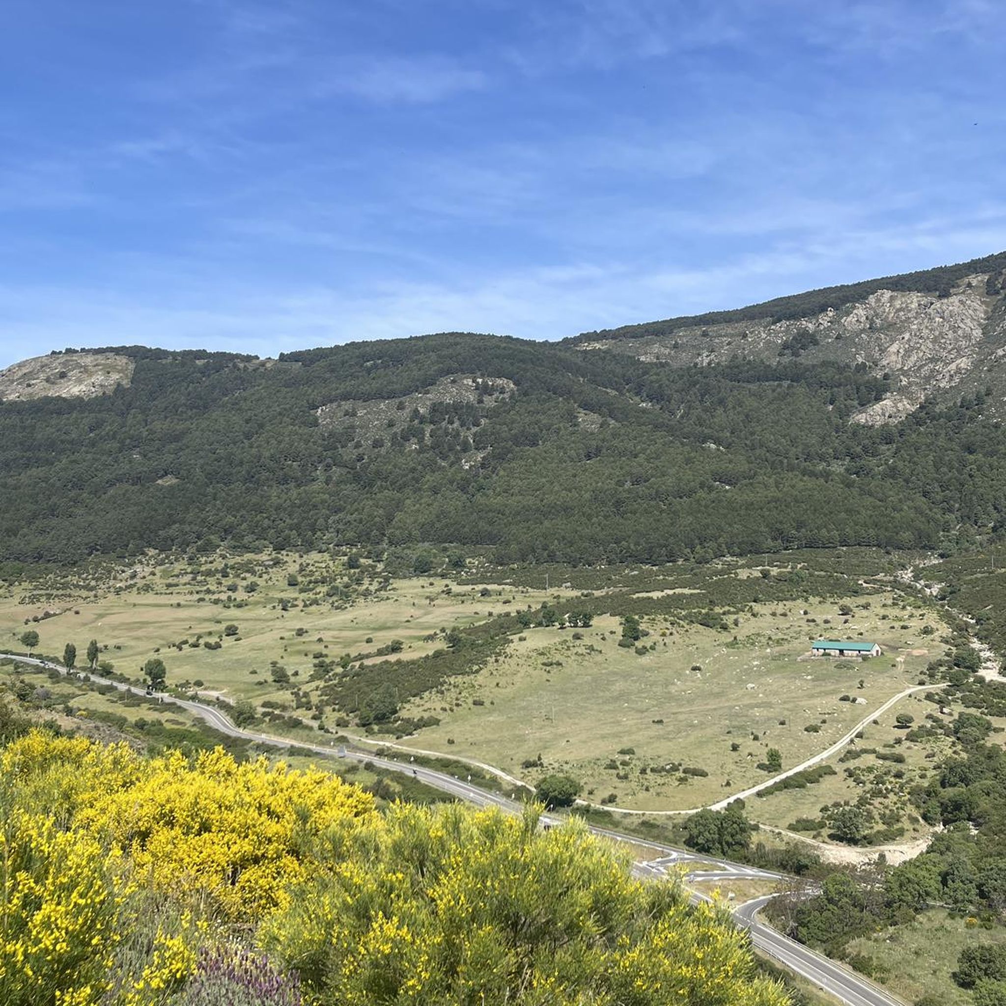
The port of Malagón, also known as Alto de Abantos or Puerto de San Juan de Malagón, is a mountain pass located in the southwest area of the Sierra de Guadarrama (mountain belonging to the Central System). It has an altitude of 1590 meters and separates the Spanish provinces of Madrid and Ávila. The regional road that crosses it connects the municipalities of San Lorenzo de El Escorial (Madrid) and Peguerinos (Ávila). To the west of the port extends the Malagón mountain range, which gives it its name. The mountain pass is located on the southern slope of Mount Abantos, which is why it constitutes the starting point of a path that leads to the top of said mountain.
0
0

Located on the forest track that connects Peguerinos with San Lorenzo de El Escorial, it has been crowned on several occasions by the Cycling Tour of Spain, this border port between Madrid and Ávila rewards us for the effort of the climb with amazing views of the community of Madrid. The ideal place to take a souvenir photo and enjoy the summit.
0
0

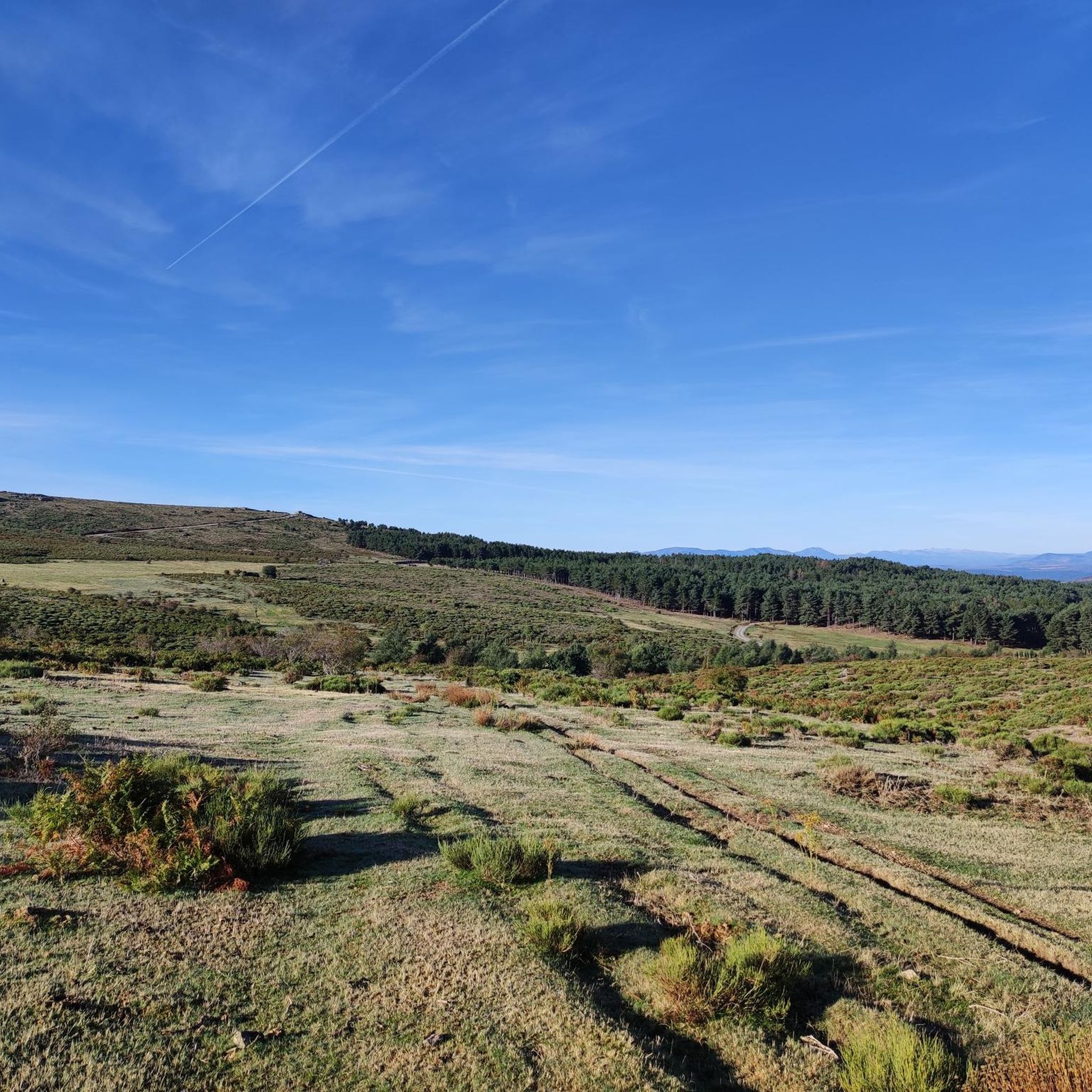
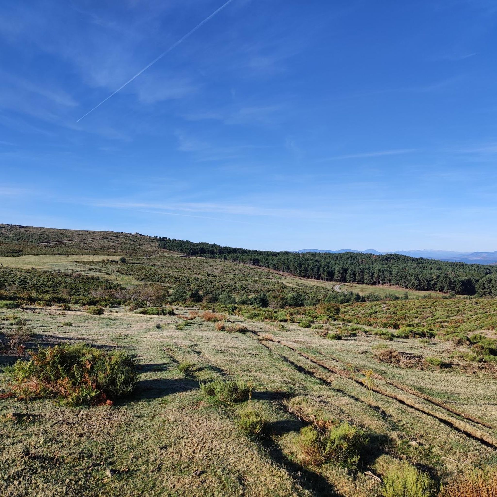
An incredible viewpoint from the top of the summit of Cabeza Líjar, right next to the geodesic vertex. On a clear day we can easily recognize the La Jarosa reservoir.
1
1

Ascent from Puerto de Guadarrama (T2+) in just over an hour. For us northern types, it's best to climb before midday, although the route offers a lot of shade. The summit with its "stone pool" is not very pretty, but offers an incredible view of: - Madrid (in the distance) - Valley of the Caidos - Embalse de la Jarosa - Embalse de Valmayor - Plain of Castilia y Leon (in the north)
1
0
Frequently Asked Questions
What are some of the most notable mountain peaks and elevated areas around Santa María de la Alameda?
The region features several prominent points, including Monte Abantos, a classic peak of the Guadarrama range known for its panoramic views. Other significant spots include Puerto de Malagón, a mountain pass with historical cycling importance, and Cabeza Líjar Summit, offering views of both Castilla y León and the Community of Madrid. The Alto de Santa María de la Alameda also provides a gentle climb with rewarding vistas.
What kind of views can I expect from the mountain peaks around Santa María de la Alameda?
From various peaks and viewpoints, you can expect stunning vistas. Monte Abantos offers excellent panoramic views, including distant glimpses of Madrid. Puerto de Malagón provides amazing views of the Community of Madrid. Peña del Águila, while not a highlight in the guide, is described as a spectacular viewpoint with impressive vistas of the Sierra de Gredos and the Cofio river valley.
Are there family-friendly hiking options among the peaks?
Yes, there are options suitable for families. The path to Peña del Águila, for instance, is considered easy and relatively short, making it suitable for families. Additionally, the Bear Cave, a peculiar rock formation in the Bosque de la Herrería, is on a popular hiking trail and is a visual attraction, especially for children.
What outdoor activities, besides hiking, can I do near these mountain peaks?
The region is popular for various outdoor activities. Cycling is particularly significant, with Puerto de Malagón being a notable site for road cyclists due to its history in the Vuelta a España. You can find numerous Road Cycling Routes around Santa María De La Alameda. There are also Running Trails available in the area.
Where can I find detailed hiking routes around Santa María de la Alameda?
For detailed hiking routes, you can explore the Hiking around Santa María De La Alameda guide. This guide features various trails, including routes to the Hornillo Waterfall and ascents to Cerro de la Cabeza, catering to different difficulty levels.
What is Monte Abantos known for?
Monte Abantos is considered one of the classic peaks of the Sierra de Guadarrama. It's known for its easy ascent via the GR-10 trail, its largely pine-covered slopes, and the excellent panoramic views from its 1,753-meter summit. At the top, you'll find a weather station and an electromagnetic signal reflector panel.
What makes Puerto de Malagón significant for cyclists?
Puerto de Malagón is highly significant in the Spanish cycling scene, having frequently been a challenging stage finish in the Vuelta a España (Tour of Spain). This mountain pass, situated at 1,590 meters, marks a natural division between the provinces of Madrid and Ávila and offers magnificent views, rewarding cyclists for their effort.
What unique natural features, such as caves, can be explored near the peaks?
You can explore interesting natural formations like the Bear Cave, a peculiar rock formation in the Bosque de la Herrería. Additionally, the Entrance to Cueva Valiente provides access to a mountain in the Sierra de Guadarrama, offering good views from its elevated position.
When is the best time of year to visit the mountain peaks in Santa María de la Alameda?
The Sierra de Guadarrama region, where Santa María de la Alameda is located, offers opportunities year-round. Spring and autumn generally provide pleasant temperatures for hiking and cycling, with vibrant nature or beautiful fall colors. Summer can be warm but is ideal for higher altitude treks, while winter offers a different experience with potential snow, requiring appropriate gear.
What is the elevation of the highest peaks in the area?
Monte Abantos reaches an elevation of 1,753 meters (5,751 ft). Another significant high point is Cueva Valiente, which can reach a maximum altitude of 1,903 meters on popular routes.
Are there any challenging mountain climbs in the region?
Yes, for those seeking a challenge, the ascent to Cueva Valiente is considered challenging, with routes involving significant ascent and descent over several hours. The climb to Puerto de Malagón is also known for its challenging nature, especially for cyclists.
What wildlife might I encounter while exploring the mountain peaks?
While exploring the peaks, especially around areas like Peña del Águila, you might observe typical mountain scrub vegetation such as juniper and broom. With some luck, you could also catch sight of raptors, including the majestic Iberian Imperial Eagle, which inhabits the Sierra de Guadarrama.
Most popular routes around Santa María De La Alameda
Most popular attractions around Santa María De La Alameda

Get inspired with the komoot mobile app


Explore more
See even more amazing summits around Santa María De La Alameda with these guides:
