The 20 Most Amazing Peaks around Santa Lucía De Tirajana
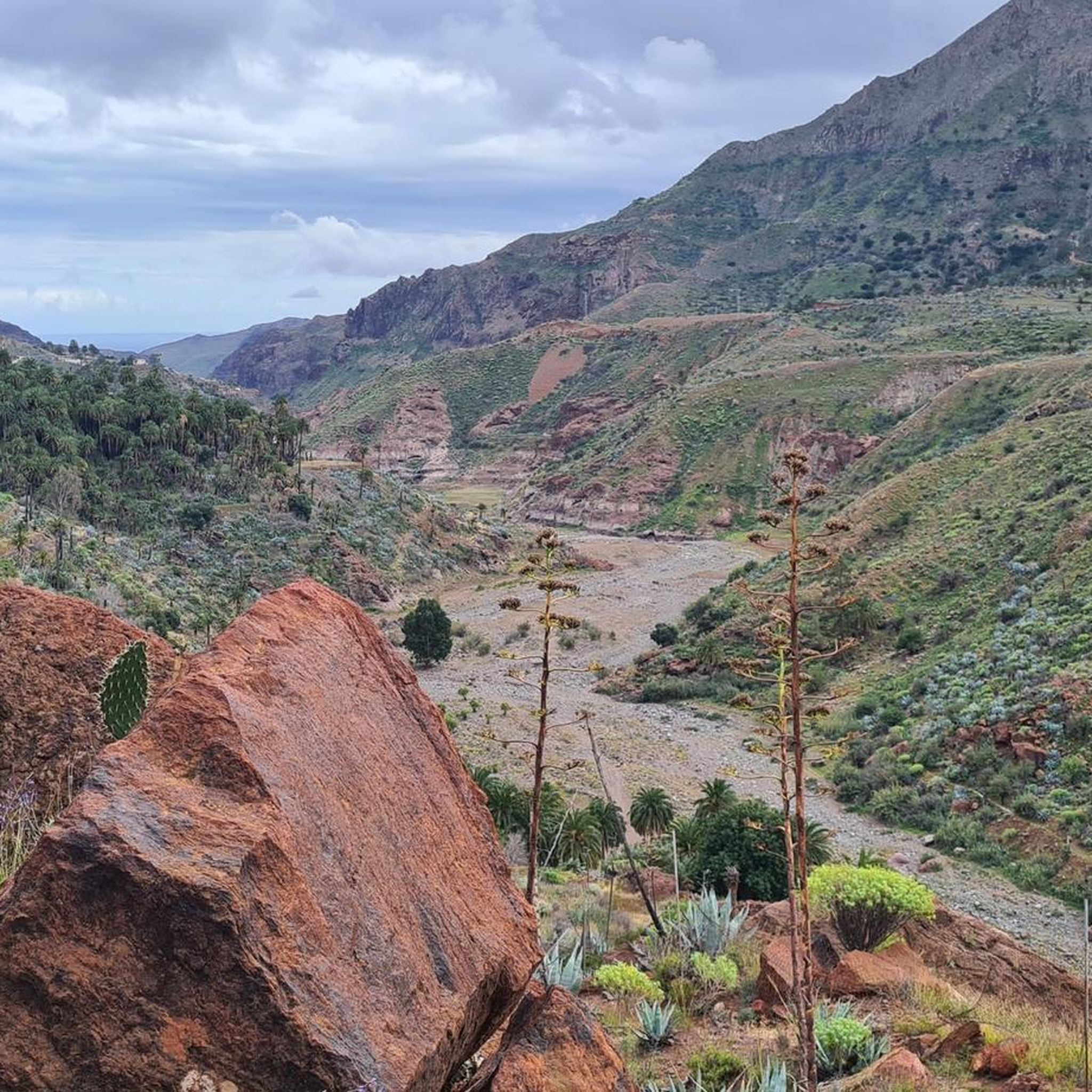
Best mountain peaks around Santa Lucía De Tirajana, a municipality in Gran Canaria, Spain, offer diverse opportunities for hiking and exploration. The region is characterized by its mountainous terrain, featuring significant volcanic rock formations and high summits. It serves as a starting point for mountain enthusiasts seeking to explore the natural landscapes of the island. The area provides a range of mountain experiences, from iconic landmarks to the highest points on Gran Canaria.
Best mountain peaks around Santa Lucía De…
Last updated: July 12, 2026
Roque Nublo
Highlight • Natural Monument
Showing Translation
Tip by

Pico de las Nieves summit
Highlight • Summit
Translated by Google •
Tip by

Sign up now to discover places like this
Get recommendations on the best single tracks, peaks, & plenty of other exciting outdoor places.
Sign up for free
View of Roque Nublo
Highlight • Viewpoint
Translated by Google •
Tip by

Pico Campanario (1,917 m)
Highlight • Summit
The ascent is worthwhile, e.g. on the way …
Translated by Google •
Tip by

Cima Pedro González (490 m)
Highlight • Mountain Pass
Highlights recommended for cyclists with road bikes (excellent asphalt) but also doable on foot as I did, given the very little car traffic.
Translated by Google •
Tip by

Sign up for free to discover even more peaks around Santa Lucía De Tirajana.
Sign up for free
Already have an account?
Start today with a free account
Your next adventure awaits.
Login or Signup
Popular around Santa Lucía De Tirajana

Trail on the Canary Islands – discover the legendary races!
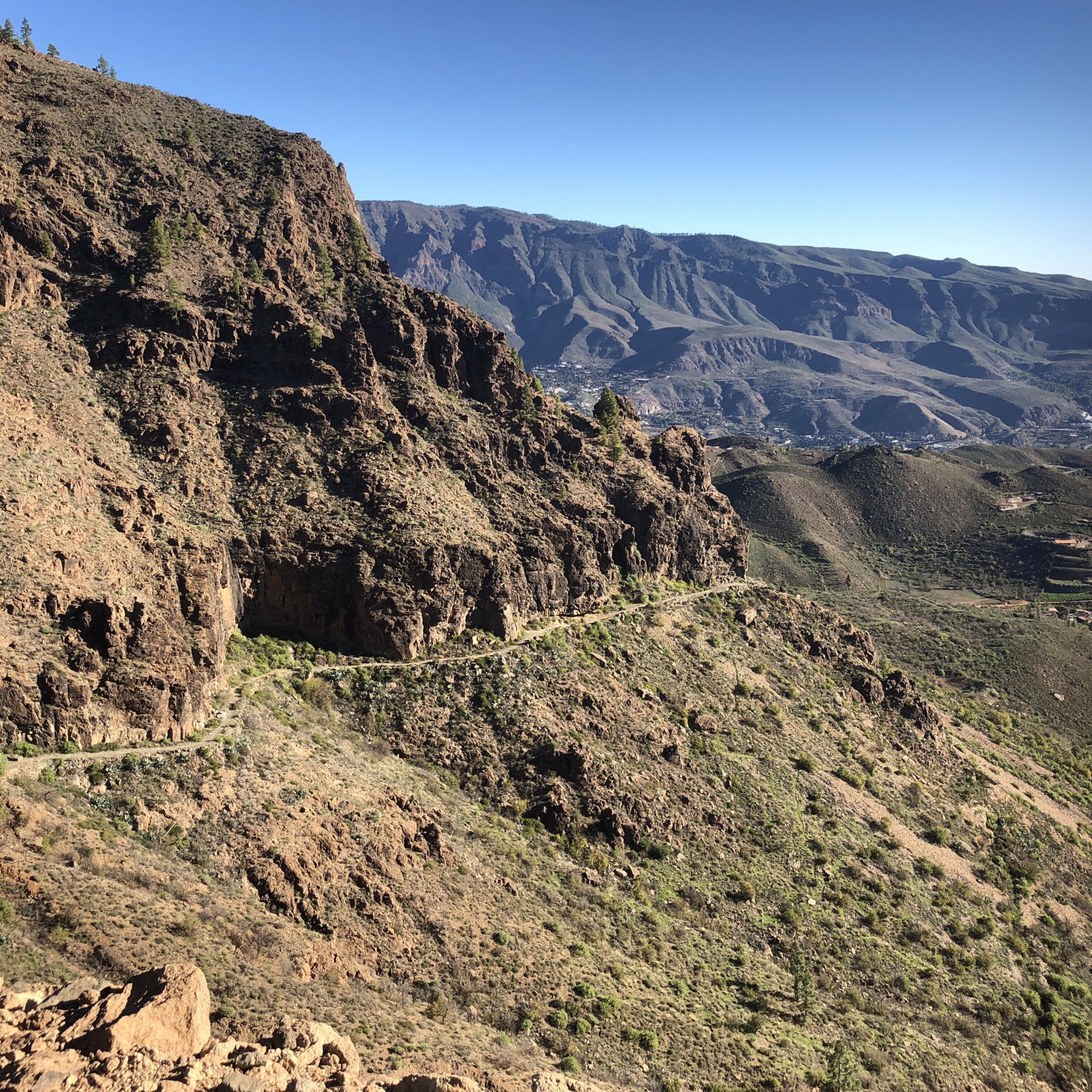
Hiking around Santa Lucía De Tirajana
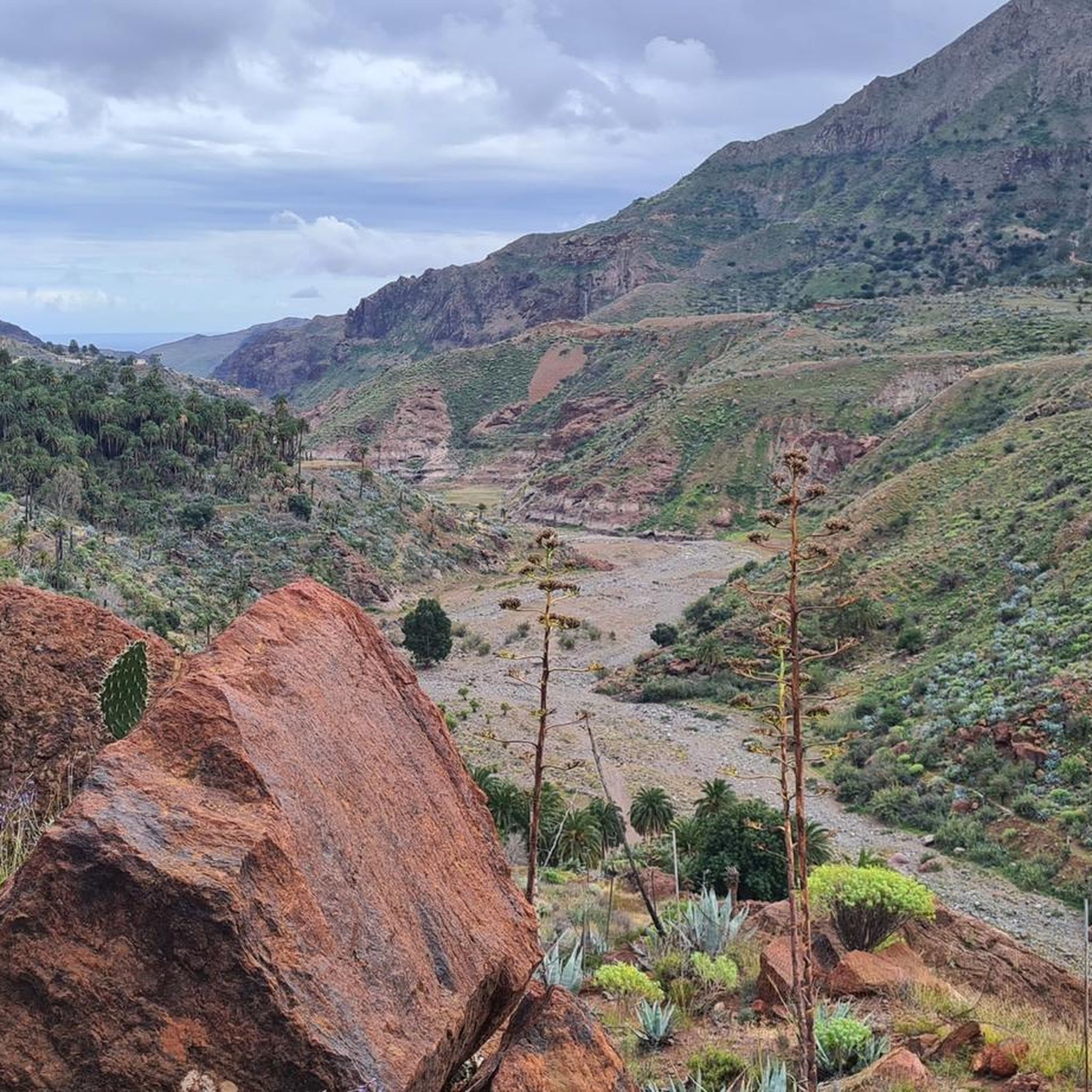
Road Cycling Routes around Santa Lucía De Tirajana
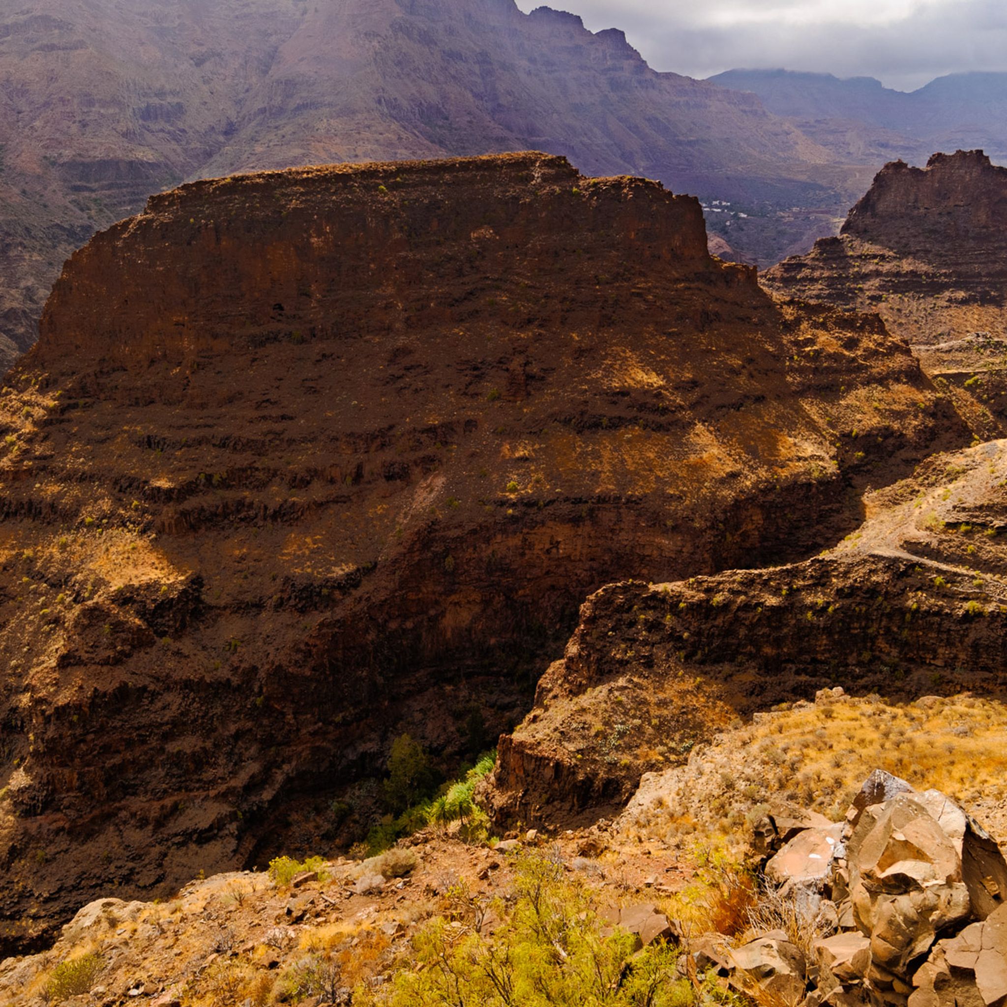
MTB Trails around Santa Lucía De Tirajana
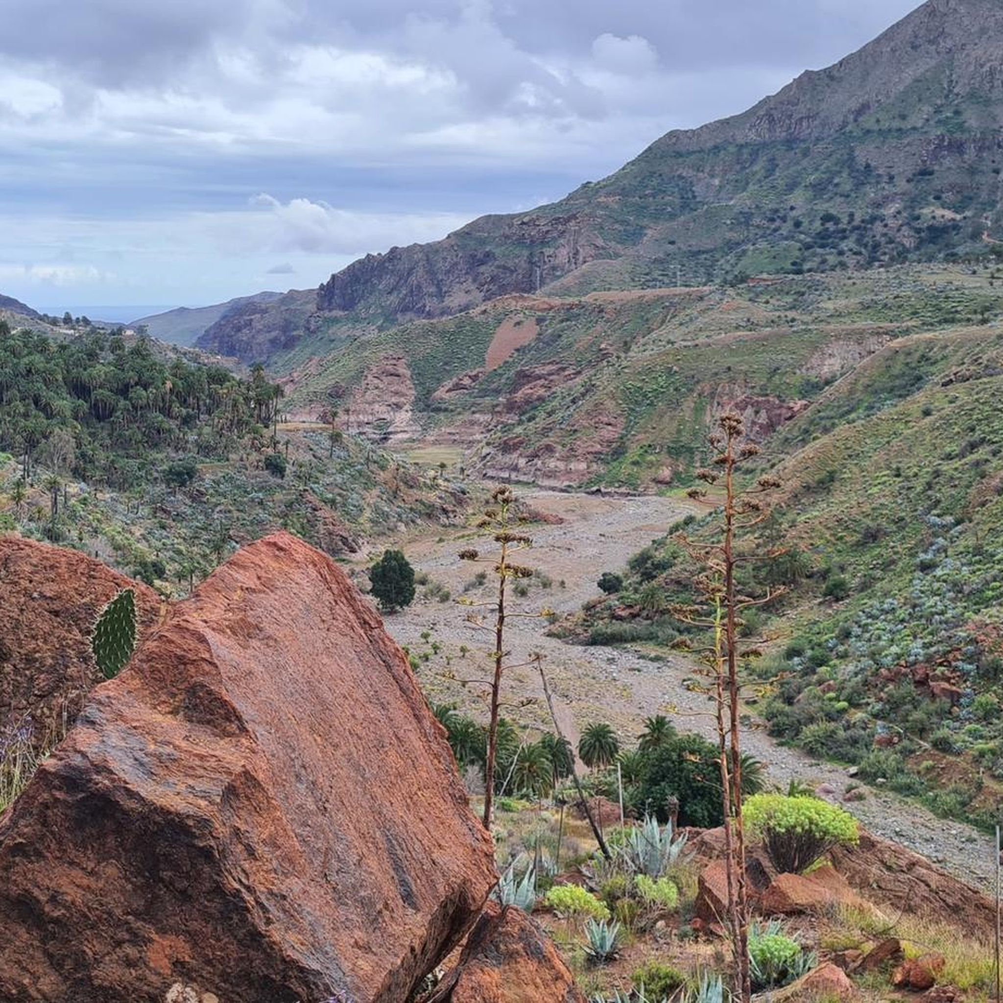
Cycling around Santa Lucía De Tirajana
Running Trails around Santa Lucía De Tirajana

Mountain Hikes around Santa Lucía De Tirajana

Gravel biking around Santa Lucía De Tirajana
Other adventures around Santa Lucía De Tirajana

Tips from the Community


Cima Pedro González offers a scenic climb popular with cyclists and climbers. The route along Monte León is approximately 8.2 km long, with an average gradient of 5.3% and steeper sections reaching up to 13.2%. The climb ascends 440 meters, finishing at an altitude of 490 meters above sea level. Often used as a descent from the Ayagaures climb, tackling it uphill rewards you with breathtaking views of the valley and surrounding landscape. This climb is known to be challenging at the start, but becomes more manageable after the initial steep sections. The road, CG-503, offers a combination of moderate difficulty and stunning scenery, making it a hidden gem for cyclists exploring the varied terrain of Gran Canaria.
0
0

We almost missed the turnoff, but luckily we just went up – and it was worth it! Good handholds and footholds are available for the final climbs.
0
0

Great panoramic view from above
0
0

You now need a reservation to visit the rock. Hikers are crowding at the entrance to the path and are not allowed through. Only 60 people per hour are allowed in with a reservation. So groups of people are waiting here for their free slot (usually a 2-3 hour wait). In addition, the parking lot is not usable and is closed. Cars are parked all over the place on the side of the road. Very annoying.
4
0

Peak of 490 meters above sea level that is a few km from Maspalomas. Highlights recommended for cyclists with road bikes (excellent asphalt) but also doable on foot as I did, given the very little car traffic.
1
0

A worthwhile summit with a fantastic view. Be sure to climb and enjoy!
1
0

The Roque Nublo, located in the municipality of Tejeda on the island of Gran Canaria, is considered one of the largest natural rocks in the world. It is a symbol of the island and of great importance to its inhabitants. It rises 80 metres above its base and 1,813 metres above sea level. It was a place of worship for the indigenous people. In 1987, its surroundings were declared a nature reserve and seven years later a rural park. Its gigantic appearance is only surpassed by the Pico de Las Nieves, which is the highest point in Gran Canaria at 1,949 metres above sea level.
5
1
Frequently Asked Questions
What are the most iconic mountain peaks to visit near Santa Lucía de Tirajana?
One of the most iconic peaks is Roque Nublo, a natural monument considered a symbol of Gran Canaria, offering panoramic views from its base. Another must-see is Pico de las Nieves summit, the highest point on the island, providing unparalleled vistas of the entire island and even Tenerife on clear days.
Are there any family-friendly mountain peaks or trails in the Santa Lucía de Tirajana area?
Yes, Pico de las Nieves summit is noted as family-friendly, offering accessible viewing platforms and stunning views. While the ascent can be significant, the summit area itself is suitable for families.
What kind of views can I expect from the mountain peaks around Santa Lucía de Tirajana?
The peaks offer diverse and breathtaking views. From Roque Nublo, you get panoramic vistas of the surrounding landscape. Pico de las Nieves summit provides unparalleled 360-degree views of Gran Canaria, and on clear days, you can even see Mount Teide on Tenerife. Pico Campanario (1,917 m) also offers great panoramic views, including Teide and Pico de las Nieves.
What is the highest point in Gran Canaria, and can I visit it?
The highest point on Gran Canaria is Morro de la Agujereada at 1956 meters, located next to Pico de las Nieves summit. While Pico de las Nieves is widely known as the highest accessible point, Morro de la Agujereada is technically slightly higher and can be reached via challenging routes.
What are some challenging mountain climbs for experienced hikers in the region?
For experienced hikers, Pico Campanario (1,917 m) offers a challenging climb with some scrambling required for the summit. Montaña del Aserrador is another tough, off-road hike recommended for experts due to its difficulty and less-marked paths.
What natural features are prominent in the mountains near Santa Lucía de Tirajana?
The region is characterized by significant volcanic rock formations, such as the iconic Roque Nublo. You'll also find high summits like Pico de las Nieves summit, which is an extinct volcano. The Barranco de Tirajana (Tirajana Ravine) is another impressive natural landscape with diverse flora and fauna.
What outdoor activities can I do near these mountain peaks?
Beyond hiking to the peaks, the area offers various cycling opportunities. You can find numerous road cycling routes, such as those around El Guriete, Santa Lucia, and Temisas, or challenging routes to Pico de las Nieves summit. Mountain biking trails are also available, including routes through Barranco de Tirajana. For more details, explore the Road Cycling Routes, Cycling, and MTB Trails guides for the area.
What is the best time to hike in the mountains around Santa Lucía de Tirajana?
The best time to hike is generally during cooler periods. While the island is known for its pleasant climate, higher elevations like Pico de las Nieves summit can experience cool temperatures and even snow in winter. It's advisable to pack a windbreaker, as it can often be fresh or cloudy at the summits.
Are there any less crowded peaks with great views near Santa Lucía de Tirajana?
If you prefer to avoid the crowds often found at Pico de las Nieves summit, consider Pico Campanario (1,917 m). It offers equally brilliant panoramic views, including Teide and Pico de las Nieves, but with fewer visitors.
What do visitors enjoy most about the mountain peaks in this region?
Visitors frequently highlight the breathtaking panoramic views, the unique volcanic landscapes, and the sense of adventure. The diverse hiking opportunities, ranging from moderate to challenging, and the chance to explore iconic landmarks like Roque Nublo are also highly appreciated.
What should I wear when hiking in the mountains of Santa Lucía de Tirajana?
Given the varied conditions, especially at higher altitudes, it's recommended to dress in layers. Always pack a windbreaker, as it can be quite fresh and cloudy at summits like Pico de las Nieves summit. Sturdy hiking shoes are essential, particularly for challenging routes with uneven terrain or scrambling sections.
Can I find circular mountain walks around Santa Lucía de Tirajana?
Yes, there are circular routes available. For example, the Cruz del Siglo offers a challenging 18-kilometer circular route from Santa Lucía de Tirajana with significant altitude gain, providing varied and impressive landscapes.
Most popular routes around Santa Lucía De Tirajana
Most popular attractions around Santa Lucía De Tirajana

Get inspired with the komoot mobile app


Explore more
See even more amazing summits around Santa Lucía De Tirajana with these guides:
