The best mountain hikes around Santa Lucía De Tirajana
5.0
(21)
127
hikers
9
hikes
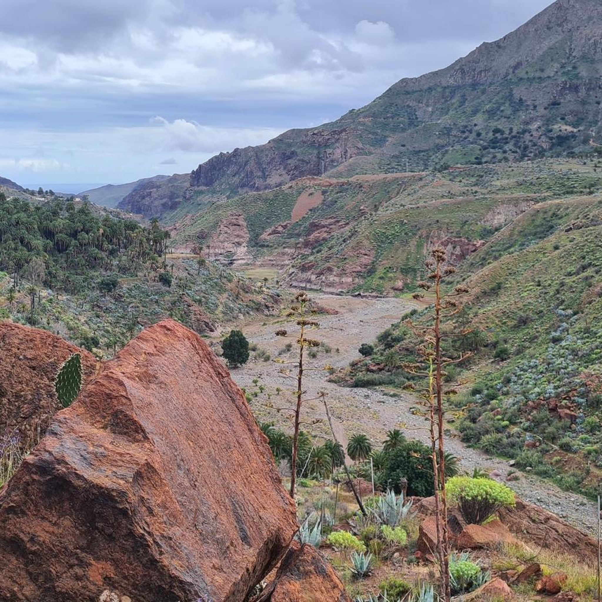
Mountaineering routes around Santa Lucía De Tirajana traverse a rugged and volcanic landscape on Gran Canaria. The region features dramatic ravines like Barranco de Tirajana and the vast volcanic basin of Caldera de Tirajana. Prominent peaks such as Pico de las Nieves and the iconic Roque Nublo offer challenging ascents and expansive views. This terrain provides diverse options for mountaineers seeking varied elevation and geological features.
Best mountaineering routes around Santa Lucía De Tirajana
- The most popular mountaineering route is…
Last updated: August 20, 2026
5.0
(6)
47
hikers
3.23km
01:09
160m
160m
Moderate mountaineering route. Great for any fitness level. Mostly accessible paths. Sure-footedness required.
5.0
(2)
10
hikers
5.98km
01:53
230m
230m
Moderate mountaineering route. Great for any fitness level. Mostly accessible paths. Sure-footedness required.

Sign up for free
5.0
(2)
10
hikers
14.4km
04:25
500m
490m
Moderate mountaineering route. Good fitness required. Easily-accessible paths. Suitable for all skill levels.
5.0
(3)
13
hikers
6.96km
02:38
410m
410m
Moderate mountaineering route. Good fitness required. Mostly accessible paths. Sure-footedness required.
5.0
(3)
7
hikers
8.05km
03:27
510m
510m
Hard mountaineering route. Good fitness required. Sure-footedness, sturdy shoes and alpine experience required.
Get access to more routes and recommendations from other explorers.
Sign up for free
Already have an account?
Our route recommendations are based on thousands of hikes, rides, and runs completed by other people on komoot.
Start today with a free account
Your next adventure awaits.
Login or Signup
Popular around Santa Lucía De Tirajana

Trail on the Canary Islands – discover the legendary races!
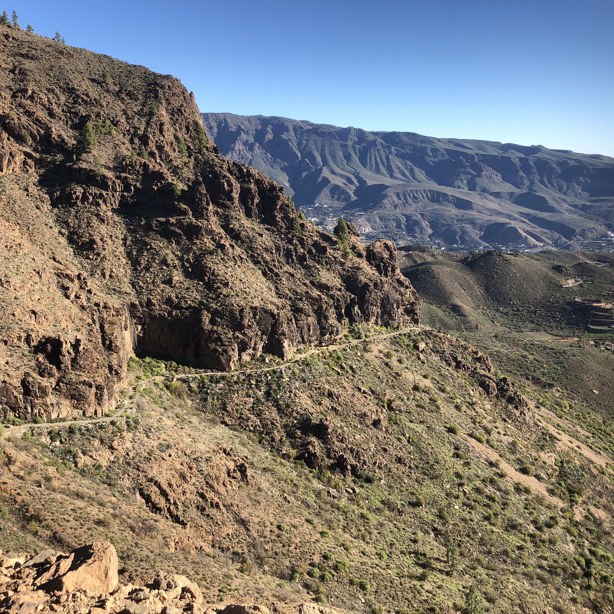
Hiking around Santa Lucía De Tirajana
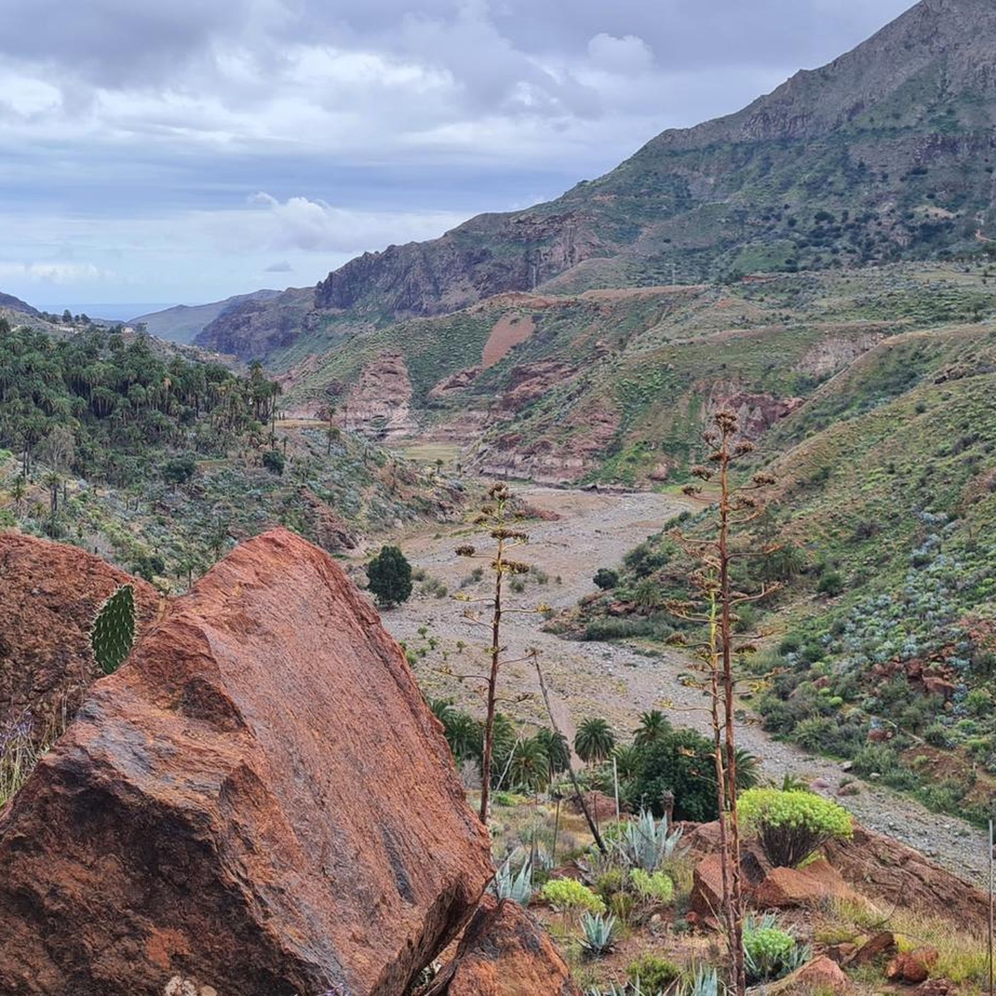
Road Cycling Routes around Santa Lucía De Tirajana
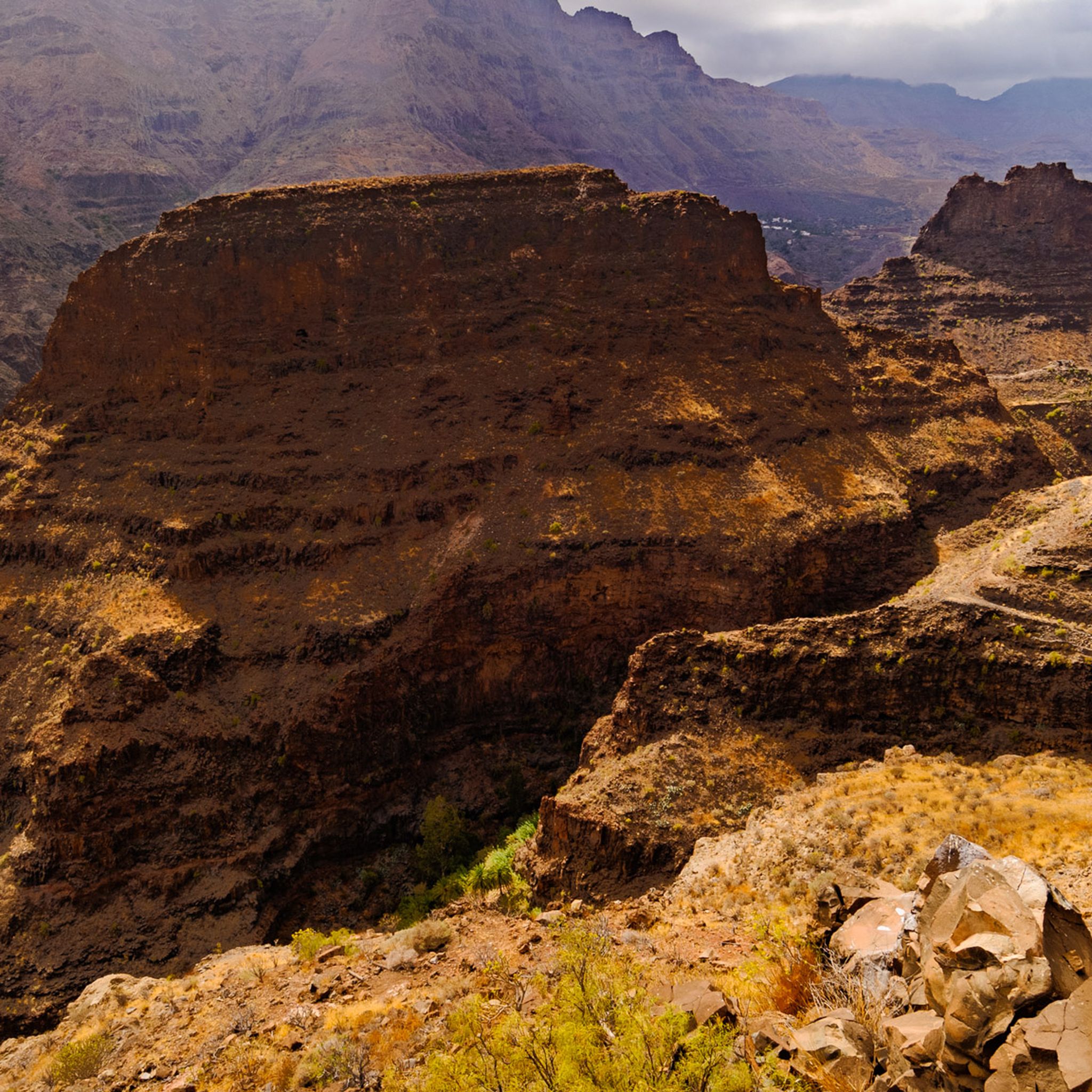
MTB Trails around Santa Lucía De Tirajana
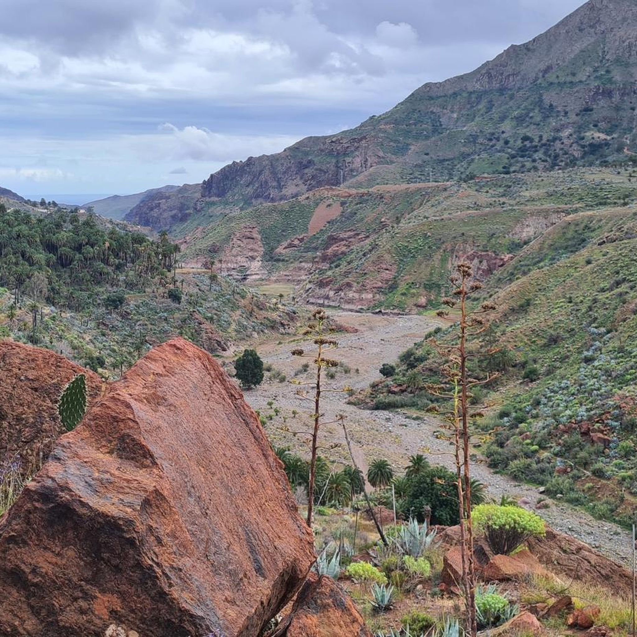
Cycling around Santa Lucía De Tirajana
Running Trails around Santa Lucía De Tirajana

Gravel biking around Santa Lucía De Tirajana
Other adventures around Santa Lucía De Tirajana

Tips from the Community

Located in the heart of Gran Canaria, La Culata is part of the municipality of Tejeda. It is made up of traditional houses built on the cliff face from which it gets its name. From the heights of the village, you can see the distribution of the houses and the terraced crops that adapt to the hills.
0
0
In a magnificent location in the middle of pine forests, you can choose here to take the upper or lower hiking trail to climb to Pico de las Nieves.
0
0

Our path to Roque Nublo leads here through a sparse pine forest.
0
0
In clear weather, the view from here extends all the way to Tenerife.
0
0

From here you have a wonderful view.
1
0
Beautiful view of the island's highest mountain.
0
0
From here we have a beautiful view of the Roque Nublo.
1
0
Frequently Asked Questions
What types of mountaineering routes can I find in Santa Lucía De Tirajana?
Santa Lucía De Tirajana offers a diverse range of mountaineering routes, primarily categorized as moderate and difficult. The terrain is rugged and volcanic, featuring deep ravines, vast volcanic basins, and prominent peaks. You'll find 3 moderate routes and 7 difficult routes, providing options for various skill levels.
Are there any family-friendly mountaineering options in the area?
While many routes in Santa Lucía De Tirajana are rated moderate to difficult, some shorter, less strenuous sections or alternative hiking trails might be suitable for families. For a moderate option that offers iconic views without extreme difficulty, consider the Roque Nublo – View of Roque Nublo loop from Gran Canaria, which is 2.0 miles (3.2 km) long.
What are some notable natural features or landmarks to look out for on these routes?
The region is rich in dramatic natural features. You can explore the impressive Barranco de Tirajana, the vast Caldera de Tirajana, and iconic peaks like Roque Nublo and Pico de las Nieves summit. The area also features ancient archaeological sites like La Fortaleza and various caves, such as Fortaleza Grande Cave.
Are there any circular mountaineering routes available?
Yes, several routes in Santa Lucía De Tirajana are circular. For example, the View of Roque Nublo – Roque Nublo Cave loop from Gran Canaria is a moderate 5.0 miles (8.1 km) path that explores the area around Roque Nublo. Another option is the Pico de las Nieves – View of Roque Nublo loop from Pico de las Nieves, a 3.7 miles (6.0 km) trail through high-altitude terrain.
Where can I park when accessing mountaineering trails in Santa Lucía De Tirajana?
Parking availability varies by trailhead. Many popular starting points, especially those near significant landmarks like Roque Nublo or Pico de las Nieves, typically have designated parking areas. It's advisable to check specific route details for parking information before you go, as some smaller trailheads might have limited space.
What is the best time of year for mountaineering in Santa Lucía De Tirajana?
Gran Canaria generally enjoys a mild climate year-round, making mountaineering possible in most seasons. However, the cooler months from autumn to spring (October to May) are often preferred for more strenuous activities, as summer temperatures can be quite high, especially at lower elevations. Always check the local weather forecast before heading out.
Are there any less crowded mountaineering routes I can explore?
While iconic spots like Roque Nublo can attract more visitors, the extensive network of trails means you can often find quieter paths. Consider exploring routes that venture deeper into the Barranco de Tirajana or the Caldera de Tirajana, away from the most famous landmarks, for a more secluded experience. The Bakery Pastry Shop Café – Ascent to the Pass loop from San Bartolomé de Tirajana is a longer, moderate route that might offer more solitude.
What kind of views can I expect on the mountaineering routes?
The mountaineering routes in Santa Lucía De Tirajana offer expansive and dramatic views of Gran Canaria's volcanic landscape. You'll encounter panoramic vistas of deep ravines, the vast Caldera de Tirajana, and the Atlantic Ocean from higher elevations. Key viewpoints include La Degollada de las Yeguas and the areas around Roque Nublo and Pico de las Nieves.
What do other mountaineers say about the routes in Santa Lucía De Tirajana?
The mountaineering routes in Santa Lucía De Tirajana are highly regarded by the komoot community, holding an average rating of 5.0 stars from over 20 reviews. Mountaineers frequently praise the challenging terrain, the stunning volcanic scenery, and the rewarding views from prominent peaks like Roque Nublo and Pico de las Nieves.
Are there any opportunities for other outdoor activities besides mountaineering?
Absolutely. Santa Lucía De Tirajana is an outdoor enthusiast's paradise. Beyond mountaineering, the region offers opportunities for rock climbing, via ferrata, caving (speleology) in places like Moon's Cave, ziplining, abseiling, and canyoning. The diverse landscape caters to a wide range of adventure sports.
Can I reach any of the trailheads using public transport?
Public transport options to trailheads can be limited in some of the more remote mountainous areas. However, the municipality of Santa Lucía de Tirajana itself serves as a popular starting point for many trails and is accessible by local bus services. For routes starting deeper in the mountains, a car is often the most convenient option. It's recommended to check local bus schedules and routes for specific trailhead access.
Are there any accommodations available for mountaineers in the area?
Yes, Santa Lucía De Tirajana offers a range of rural accommodations for visitors looking to immerse themselves in the natural surroundings. You can find various guesthouses, rural hotels, and holiday homes within the municipality and surrounding villages, providing convenient bases for your mountaineering adventures.
Most popular routes around Santa Lucía De Tirajana
Most popular attractions around Santa Lucía De Tirajana

Get inspired with the komoot mobile app


Explore more
Browse the best Mountain Hikes & Routes in other regions.
