The best running trails around La Motte-Servolex
4.1
(14)
1,414
runners
58
runs
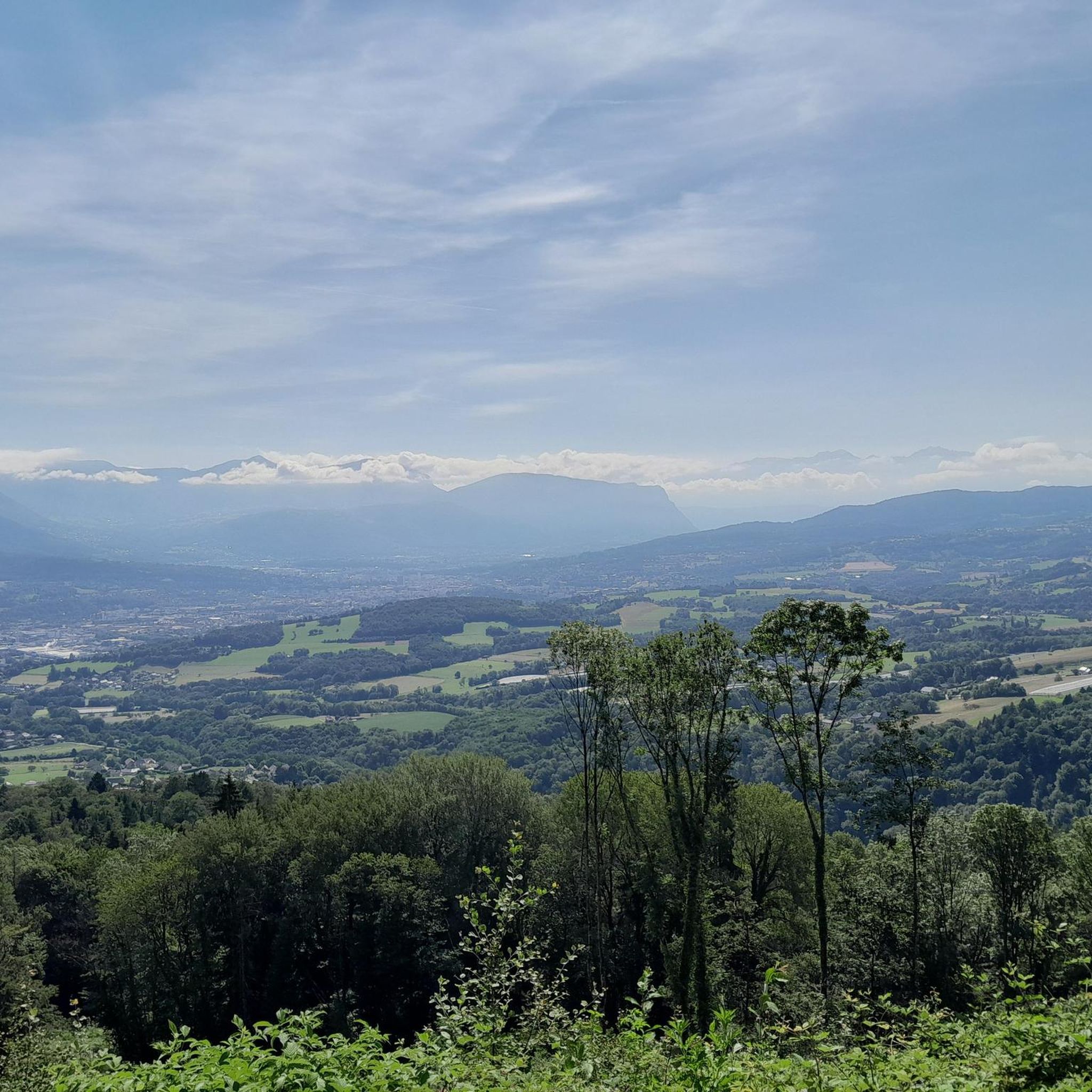
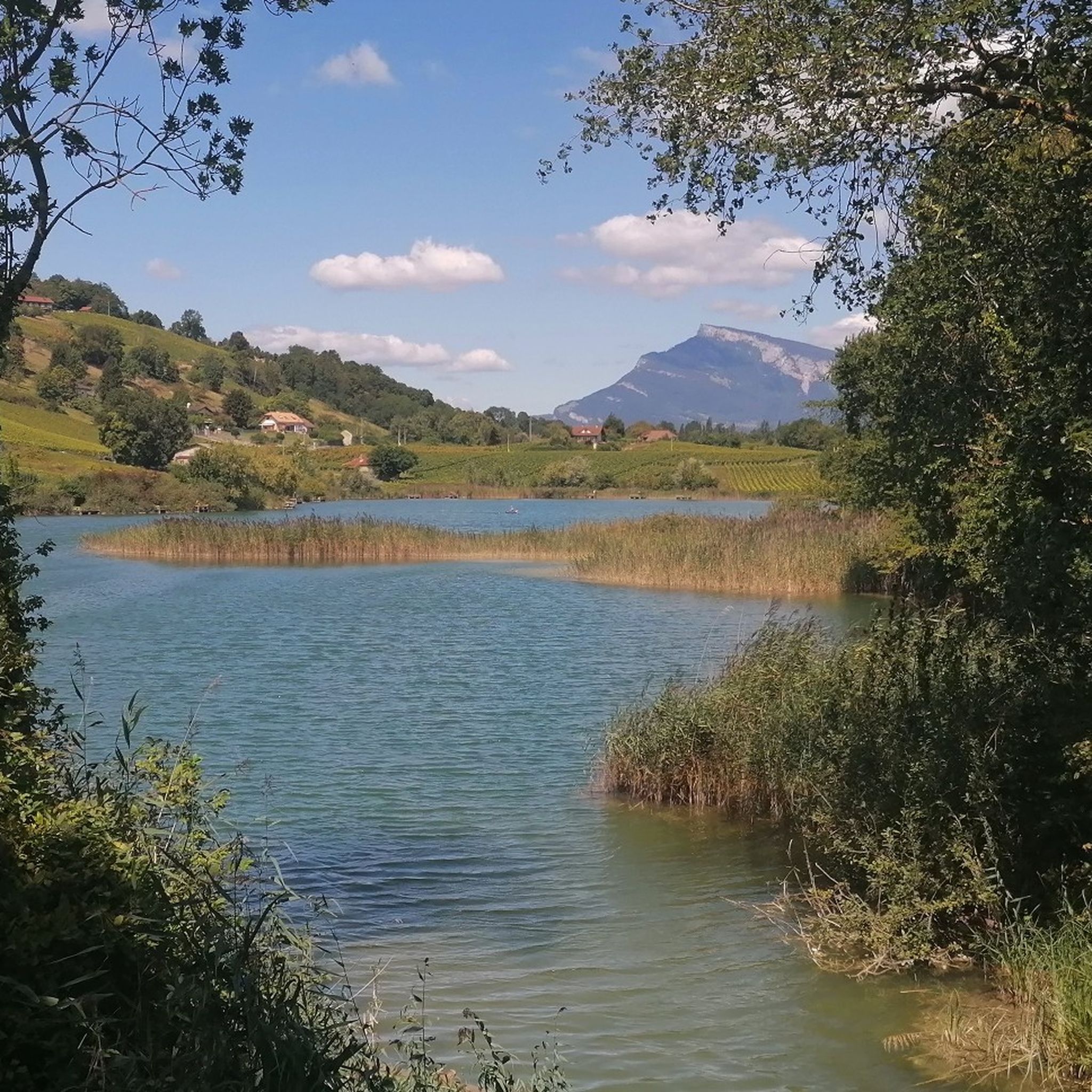
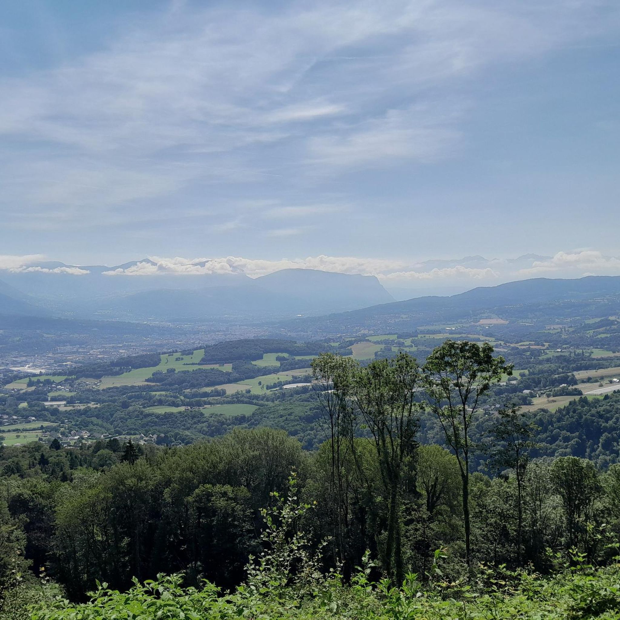
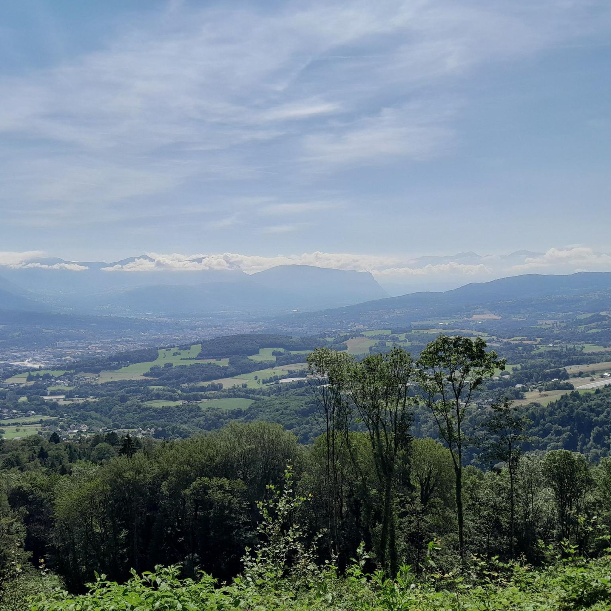
Jogging around La Motte-Servolex offers access to diverse natural landscapes in the Savoie region of France. The area features varied topography, including mountainous peaks, lakes, and forests, providing a range of running experiences. Proximity to the Massif des Bauges Regional Natural Park further enhances the options for trail running, with a succession of cliffs, forests, and alpine pastures. This environment supports both gentler, flatter paths and more demanding uphill climbs.
Best jogging routes around La Motte-Servolex
- The most popular jogging…
Last updated: October 18, 2026
4.0
(1)
96
runners
6.27km
00:42
60m
60m
Moderate run. Good fitness required. Mostly paved surfaces. Suitable for all skill levels.
58
runners
25.2km
02:36
50m
50m
Hard run. Very good fitness required. Mostly paved surfaces. Suitable for all skill levels.

5.0
(1)
38
runners
10.6km
01:07
100m
100m
Moderate run. Good fitness required. Mostly paved surfaces. Suitable for all skill levels.
2.0
(1)
14
runners
16.4km
02:02
590m
590m
Hard run. Very good fitness required. Mostly paved surfaces. Suitable for all skill levels.
22
runners
23.9km
03:11
950m
950m
Hard run. Very good fitness required. Sure-footedness, sturdy shoes and alpine experience required.
Get access to more routes and recommendations from other explorers.
Already have an account?
Our route recommendations are based on thousands of hikes, rides, and runs completed by other people on komoot.
Start today with a free account
Your next adventure awaits.


Tips from the Community

Beautiful to cycle and to experience, unmissable.
0
0


A very quiet and pleasant road. On the Chambéry side, a good part is in the shade, the slope of the main road is rather constant around 7-8%. On the Novalaise side, the mineral aspect with the cliff is more present in the middle of the climb. This side is quite steep with kilometers at 8-9%. On each side, 1 belvedere offers a breathtaking view of Lake Aiguebelette (approx. 2 km from the summit) and on the other side of Chambéry, the Bauges, Belledonne, the Chartreuse (500 m from the summit). The summit is in the forest.
1
0

Leaving from Chambery, the beginning hurts a little, but the rest is quite good
0
1

Tour of the lake via the Col du Chat, very beautiful with very beautiful views.
1
0

There is a mistake about the valleys!
2
0

Beautiful bike path, beautiful lake.
0
0
Beautiful lake, beautiful views.
1
0
Frequently Asked Questions
How many running routes are available in La Motte-Servolex?
There are over 50 running routes around La Motte-Servolex, offering a wide range of options for different fitness levels and preferences. These include easy, moderate, and difficult trails.
What types of terrain can I expect on jogging trails around La Motte-Servolex?
The region around La Motte-Servolex boasts diverse terrain, from gentler, flatter paths to more demanding uphill climbs. You'll find routes through mountainous peaks, alongside lakes, and within forests. Proximity to the Massif des Bauges Regional Natural Park also means trails can feature cliffs, alpine pastures, and varied natural landscapes.
Are there easy running routes suitable for beginners or families in La Motte-Servolex?
Yes, La Motte-Servolex offers several easy running routes perfect for beginners or families. For instance, the Running loop from Chambéry Savoie Airport is an easy 4.9 km path with minimal elevation gain, making it a great starting point.
Can I find running routes with scenic views in the area?
Absolutely. Many running routes in La Motte-Servolex offer panoramic views, especially those near mountainous peaks and lakes. The Plage des Mottets – Terre-Nue loop from La Motte-Servolex, for example, provides beautiful views along the lake.
Are there any circular running routes around La Motte-Servolex?
Yes, many of the running routes in La Motte-Servolex are designed as loops, allowing you to start and finish in the same location. The Running loop from La Motte-Servolex is a popular 10.5 km option that takes you through varied local terrain.
What natural attractions can I see while running near La Motte-Servolex?
The region is rich in natural beauty. Along your runs, you might encounter stunning natural monuments like the Nivolet Cross, serene bodies of water such as Lac d'Aiguebelette or Lake Bourget, and even waterfalls like the Cascade de la Doriaz. There are also several viewpoints, including the Coche Pass and Étincelle Viewpoint, offering breathtaking vistas.
Are there any running routes that pass by lakes or natural ponds?
Yes, the area features several routes that offer picturesque views of lakes and natural ponds. The Étang des Bigornes – Plage aux Dames loop from Voglans is a moderate 12.6 km path specifically designed to pass by natural ponds and open areas, providing a refreshing running experience.
What do other runners enjoy most about jogging in La Motte-Servolex?
The running routes in La Motte-Servolex are highly rated by the komoot community, with an average score of 4.0 stars from 9 reviews. Runners often praise the varied terrain, the beautiful natural landscapes, and the options available for different difficulty levels, from gentle paths to more challenging climbs.
Are there any challenging trail running options for experienced runners?
For experienced runners seeking a challenge, the region offers routes with significant elevation changes and rugged terrain. The Domaine Reinach loop from La Motte-Servolex is a difficult 16.4 km route with over 590 meters of ascent, providing a demanding workout amidst beautiful scenery.
Is La Motte-Servolex a good destination for trail running?
Absolutely. With its proximity to the Massif des Bauges Regional Natural Park and its diverse topography, including mountainous peaks, cliffs, and forests, La Motte-Servolex is an excellent destination for trail running. You'll find a range of routes from moderate to difficult, offering both scenic beauty and physical challenge.
What is the best season for jogging in La Motte-Servolex?
The Savoie region generally offers pleasant conditions for jogging from spring through autumn. While specific route conditions vary, the mild temperatures and vibrant scenery during these seasons make them ideal. Winter jogging is also possible, especially on lower-elevation paths, but some higher trails may be affected by snow or ice.
Most popular routes around La Motte-Servolex
Most popular attractions around La Motte-Servolex

Get inspired with the komoot mobile app


Explore more
Browse the best Running Trails & Routes in other regions.
