The best walks and hikes around La Motte-Servolex
4.5
(1636)
16,560
hikers
29
hikes
Hiking trails around La Motte-Servolex offer access to diverse landscapes in the Savoie region of France, situated near the city of Chambéry. The area features varied terrain, from forest paths and meadows to more challenging rocky mountain trails, with views of the French Alps and the Chartreuse Massif. Proximity to Lac du Bourget provides scenic routes around France's largest natural lake, while the Chartreuse Regional Nature Park offers extensive marked trails through mountains and dense forests.
Best hiking trails around…
Last updated: September 1, 2026
4.8
(21)
127
hikers
10.6km
03:09
270m
270m
Moderate hike. Good fitness required. Mostly accessible paths. Sure-footedness required.
4.2
(13)
52
hikers
17.0km
06:03
720m
720m
Hard hike. Very good fitness required. Mostly accessible paths. Sure-footedness required.

Sign up for free
5.0
(1)
23
hikers
10.3km
03:52
470m
470m
Hard hike. Good fitness required. Sure-footedness, sturdy shoes and alpine experience required.
5.0
(4)
15
hikers
19.0km
06:15
740m
740m
Hard hike. Very good fitness required. Mostly accessible paths. Sure-footedness required.
5.0
(2)
21
hikers
10.6km
04:06
490m
490m
Hard hike. Good fitness required. Sure-footedness, sturdy shoes and alpine experience required.
Get access to more routes and recommendations from other explorers.
Sign up for free
Already have an account?
Our route recommendations are based on thousands of hikes, rides, and runs completed by other people on komoot.
Start today with a free account
Your next adventure awaits.
Login or Signup


Tips from the Community


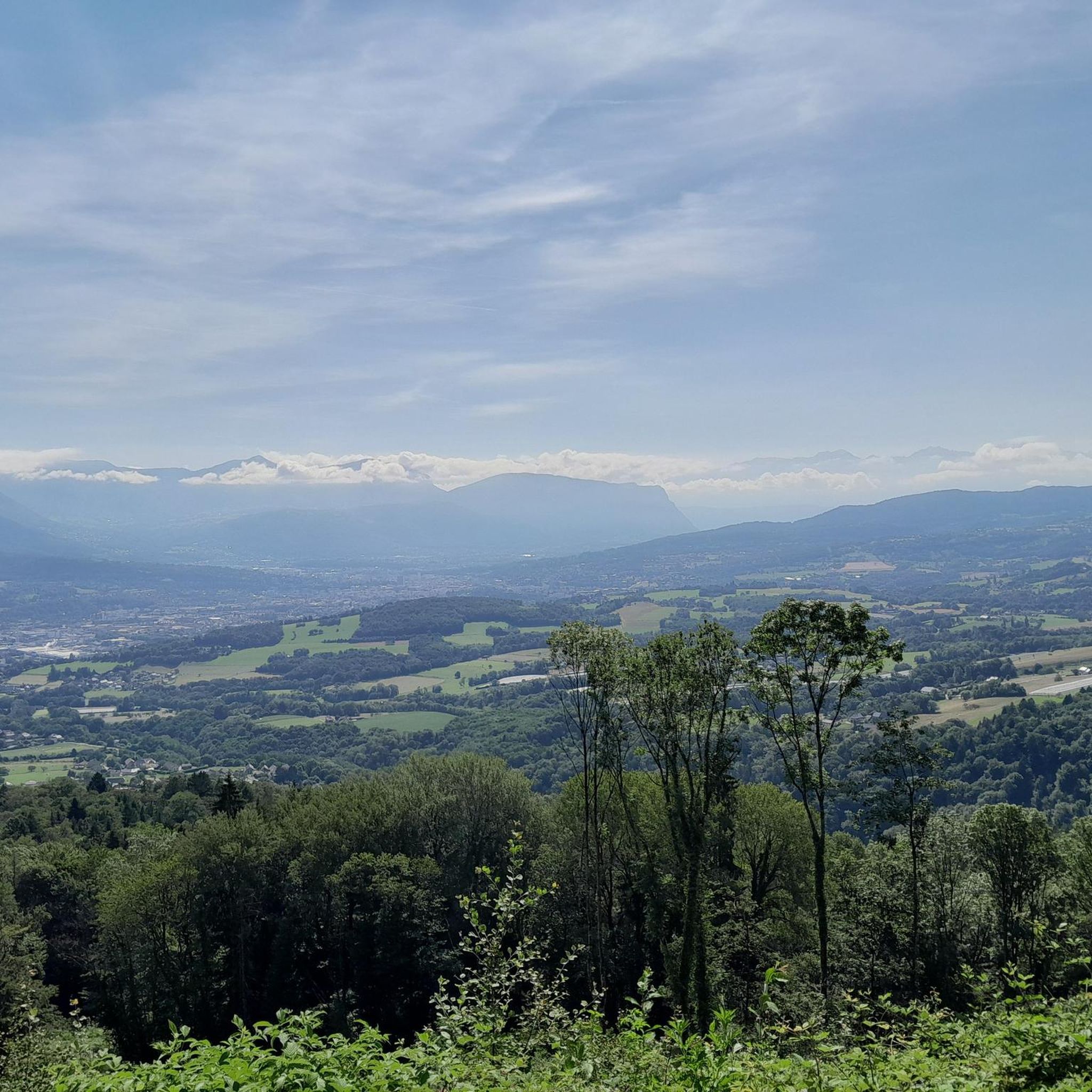
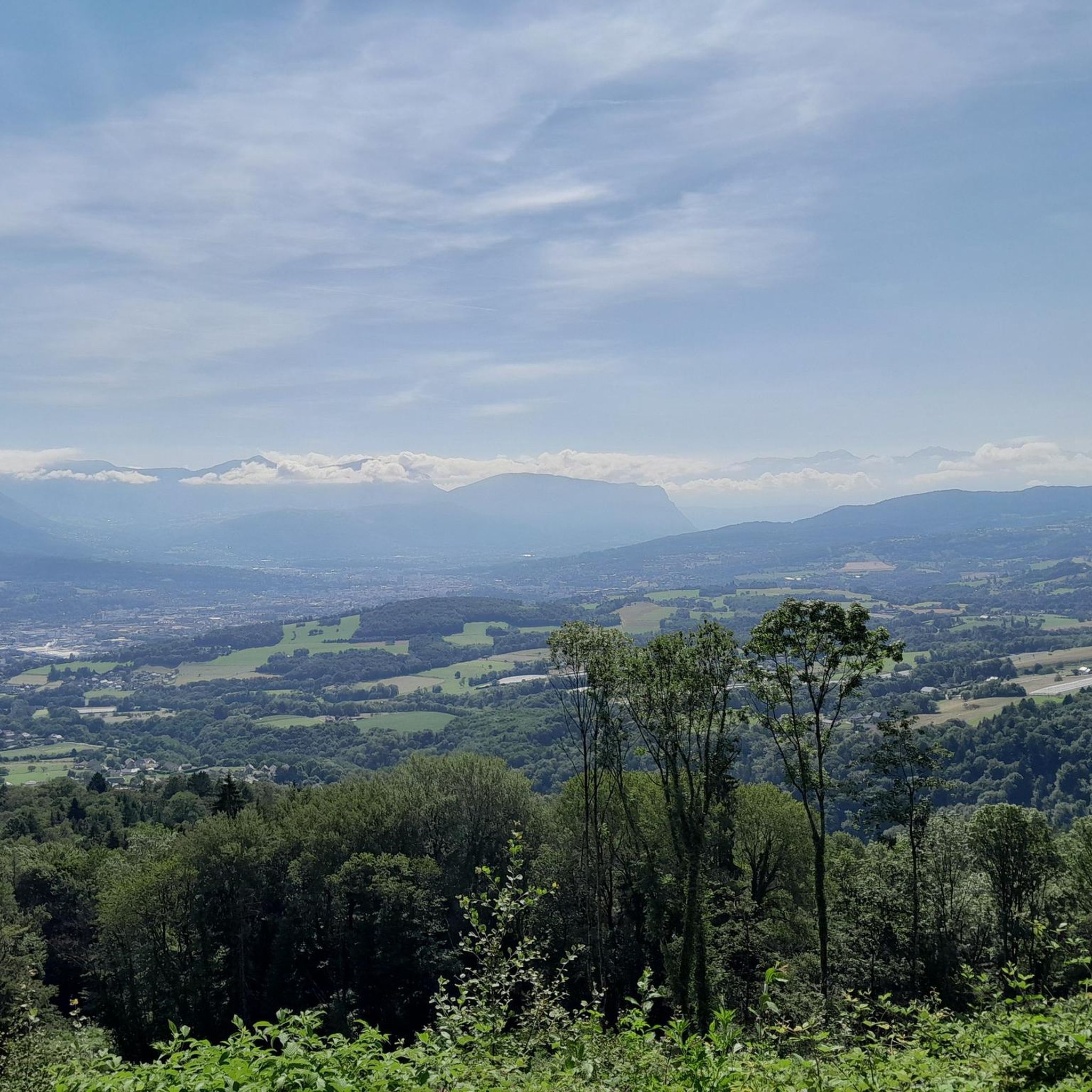
A very quiet and pleasant road. On the Chambéry side, a good part is in the shade, the slope of the main road is rather constant around 7-8%. On the Novalaise side, the mineral aspect with the cliff is more present in the middle of the climb. This side is quite steep with kilometers at 8-9%. On each side, 1 belvedere offers a breathtaking view of Lake Aiguebelette (approx. 2 km from the summit) and on the other side of Chambéry, the Bauges, Belledonne, the Chartreuse (500 m from the summit). The summit is in the forest.
1
0

The lookout is too overgrown. You can hardly see the lake anymore! What a shame!
0
1

Leaving from Chambery, the beginning hurts a little, but the rest is quite good
0
1
There is a mistake about the valleys!
2
0

Pass without too much traffic. Quite steep start to reach Saint Sulpice, the rest is rather regular. The pass is closed in winter
2
0

Unmissable “road cycling” of the Col de l'Épine located at an altitude of 990 m.
1
0

The Col d'Épine connects the Thônes and Faverges valleys. At the summit, which rises to an altitude of 987 m, to the west you have a breathtaking view of Chambéry, the south of Lake Bourget and the Bauges massif. On the eastern slope, you can enjoy a superb panoramic view of Lake Aiguebelette.
1
0
Frequently Asked Questions
How many hiking trails are available around La Motte-Servolex?
There are over 30 verified hiking routes around La Motte-Servolex, catering to various skill levels. You'll find a good mix of easy walks, moderate trails, and more challenging mountain ascents, with 9 easy, 15 moderate, and 6 difficult routes to choose from.
What kind of landscapes can I expect to see while hiking near La Motte-Servolex?
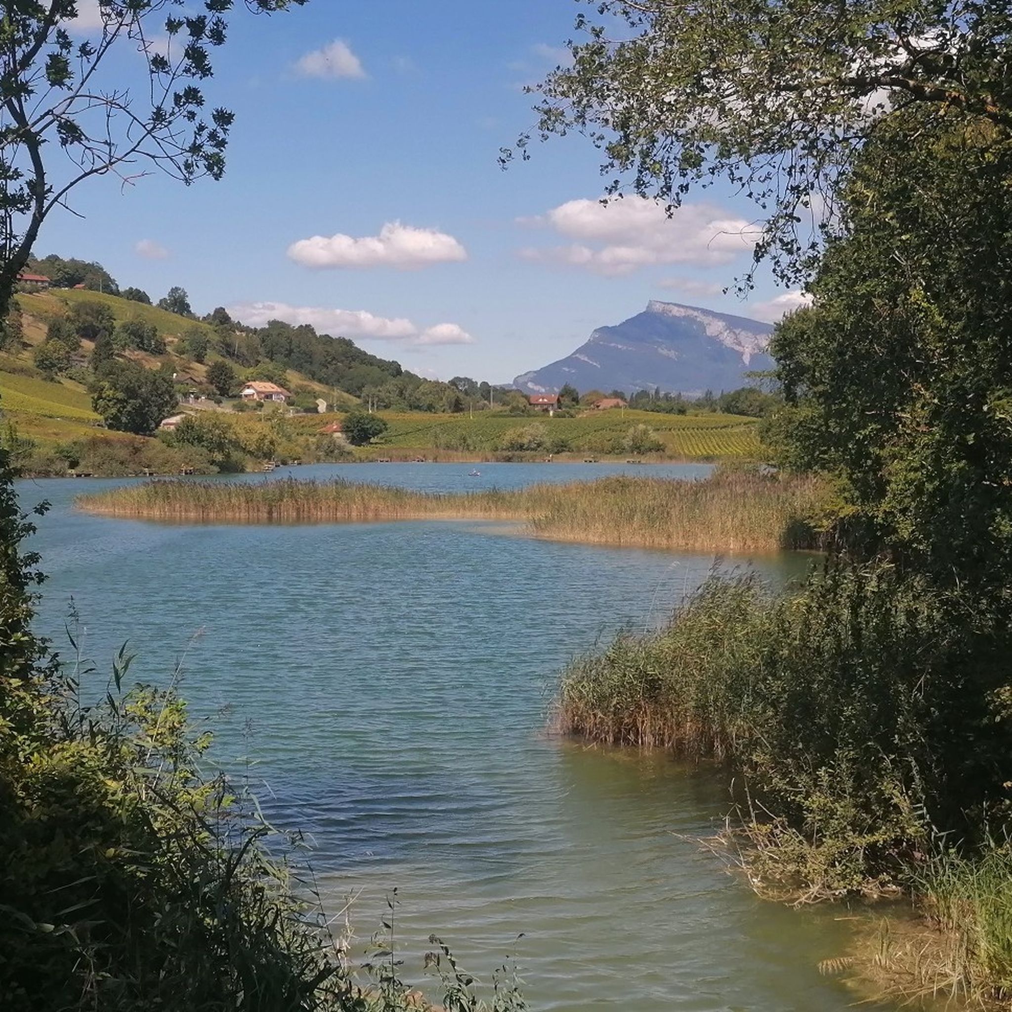
The region offers incredibly diverse landscapes. You can expect stunning panoramic views of the French Alps, including peaks like Mont Granier and Mont du Chat, as well as the Chartreuse Massif. Trails range from gentle forest paths and verdant meadows to rocky mountain terrain. Many routes also feature serene views of Lac du Bourget, France's largest natural lake, and Lac d'Aiguebelette.
Are there any easy, family-friendly hikes around La Motte-Servolex?
Yes, there are several easy routes suitable for families. The area around Lac du Bourget offers scenic and generally flatter paths. Additionally, local natural sites like the Pré Lombard marsh provide easy itineraries with diverse landscapes and biodiversity interpretation panels. You'll find 9 easy routes in total.
What are some notable natural attractions or viewpoints I can discover on a hike?
Hiking around La Motte-Servolex offers access to several impressive natural attractions and viewpoints. You can visit the Nivolet Cross, enjoy the beauty of Lac d'Aiguebelette, or seek out the Cascade de la Doriaz waterfall. Other popular viewpoints include Coche Pass, Étincelle Viewpoint, and Mont Grêle Viewpoint, which offers views of both Lake Aiguebelette and Lake Bourget.
Are there any circular hiking routes available?
Yes, many of the trails around La Motte-Servolex are circular, allowing you to start and end at the same point. An example is the View of Lake Aiguebelette – Épine Pass loop from Col de l'Épine, which is a moderate 10.6 km route offering great views.
What do other hikers enjoy most about the trails in La Motte-Servolex?
The trails in La Motte-Servolex are highly rated by the komoot community, with an average score of 4.5 stars from over 1400 reviews. Hikers often praise the diverse terrain, from alpine foothills to serene lake views, and the well-maintained paths that offer options for all ability levels. The stunning views of the French Alps and Lac du Bourget are frequently highlighted.
Can I hike with my dog in the La Motte-Servolex area?
Many trails in the La Motte-Servolex area are dog-friendly, especially those in less protected natural areas. However, if you plan to hike within the Chartreuse Regional Nature Park, it's advisable to check specific regulations regarding dogs, as some areas may require them to be on a leash to protect local wildlife.
Are there any challenging hikes for experienced trekkers?
Absolutely. For experienced trekkers, there are several difficult routes with significant elevation gain. The Crow Rock – Voues de l'Épine Viewpoint loop from Col de l'Épine is a challenging 17.3 km path that leads to rewarding viewpoints. Another demanding option is the Saint-Michel Pass – View of Lake Aiguebelette loop from La Motte-Servolex.
Are there any historical points of interest along the hiking trails?
Yes, some hiking routes in the region pass by historical landmarks. For example, the Richard's castle – Signal Cross loop from Le Pré Puisat leads through varied terrain with historical points of interest. Some trails also traverse ancient Roman and Sardinian roads on the Montagne de l'Épine, offering a glimpse into the area's past.
Is it possible to reach hiking trailheads using public transport?
La Motte-Servolex is situated near Chambéry and benefits from good transportation links, making it relatively accessible. While specific trailheads might require a short walk or local bus connection, many starting points are reachable via public transport from Chambéry. It's recommended to check local bus schedules for the most convenient access to your chosen route.
What is the best time of year to go hiking in La Motte-Servolex?
The best time for hiking in La Motte-Servolex is generally from spring through autumn (April to October). During these months, the weather is milder, and the trails are typically clear of snow, offering lush greenery in spring/summer and vibrant colors in autumn. Winter hiking is possible, especially on lower-altitude trails, but requires appropriate gear and caution due to snow and ice.
Most popular routes around La Motte-Servolex
Most popular attractions around La Motte-Servolex

Get inspired with the komoot mobile app


Explore more
Browse the best Hikes in other regions.
