The best running trails around Marcieux
4.4
(378)
22,394
runners
409
runs
Jogging around Marcieux offers diverse terrain within the Savoie department, characterized by its alpine landscapes and extensive forest trails. The region, situated within the Chartreuse massif, provides varied elevations suitable for different intensity levels. Runners can explore paths around Lac d'Aiguebelette, utilize sections of the ViaRhôna, or find trails within the Chartreuse Regional Park. This mix of accessible routes and scenic environments makes Marcieux a suitable destination for running.
Best jogging routes around Marcieux
- The most popular jogging route is…
Last updated: October 18, 2026
18
runners
7.32km
00:48
150m
150m
Moderate run. Good fitness required. Mostly paved surfaces. Suitable for all skill levels.
9
runners
6.57km
00:42
110m
110m
Moderate run. Good fitness required. Mostly paved surfaces. Suitable for all skill levels.

4.0
(1)
10
runners
8.86km
00:57
140m
140m
Moderate run. Good fitness required. Mostly paved surfaces. Suitable for all skill levels.
7
runners
10.0km
01:11
250m
250m
Moderate run. Good fitness required. Mostly paved surfaces. Suitable for all skill levels.
6
runners
11.3km
01:21
320m
320m
Hard run. Very good fitness required. Mostly paved surfaces. Suitable for all skill levels.
Get access to more routes and recommendations from other explorers.
Already have an account?
Our route recommendations are based on thousands of hikes, rides, and runs completed by other people on komoot.
Start today with a free account
Your next adventure awaits.


Tips from the Community

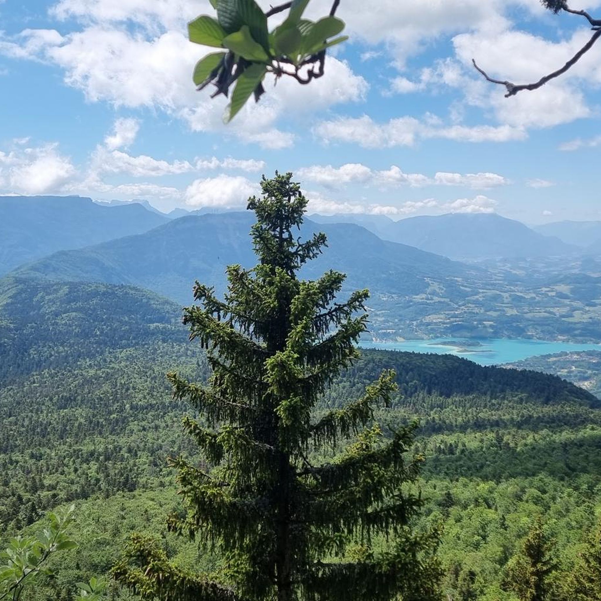
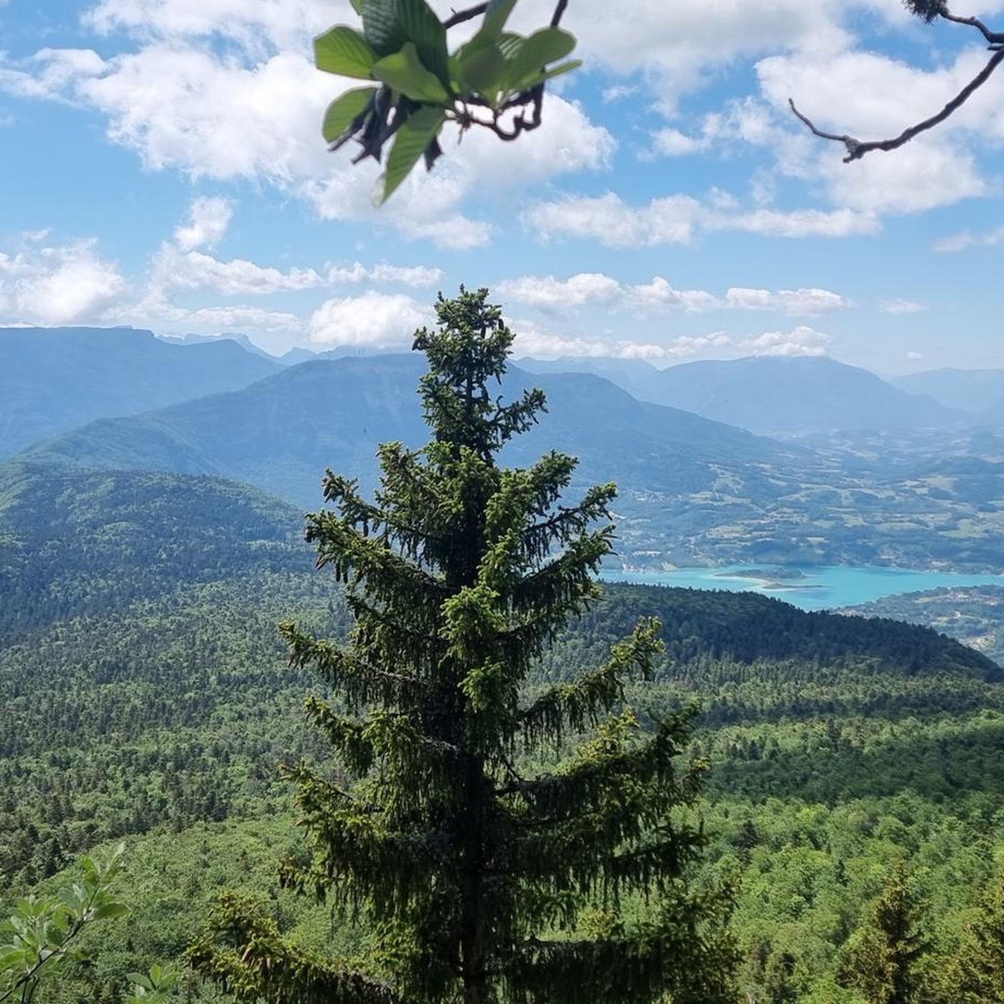
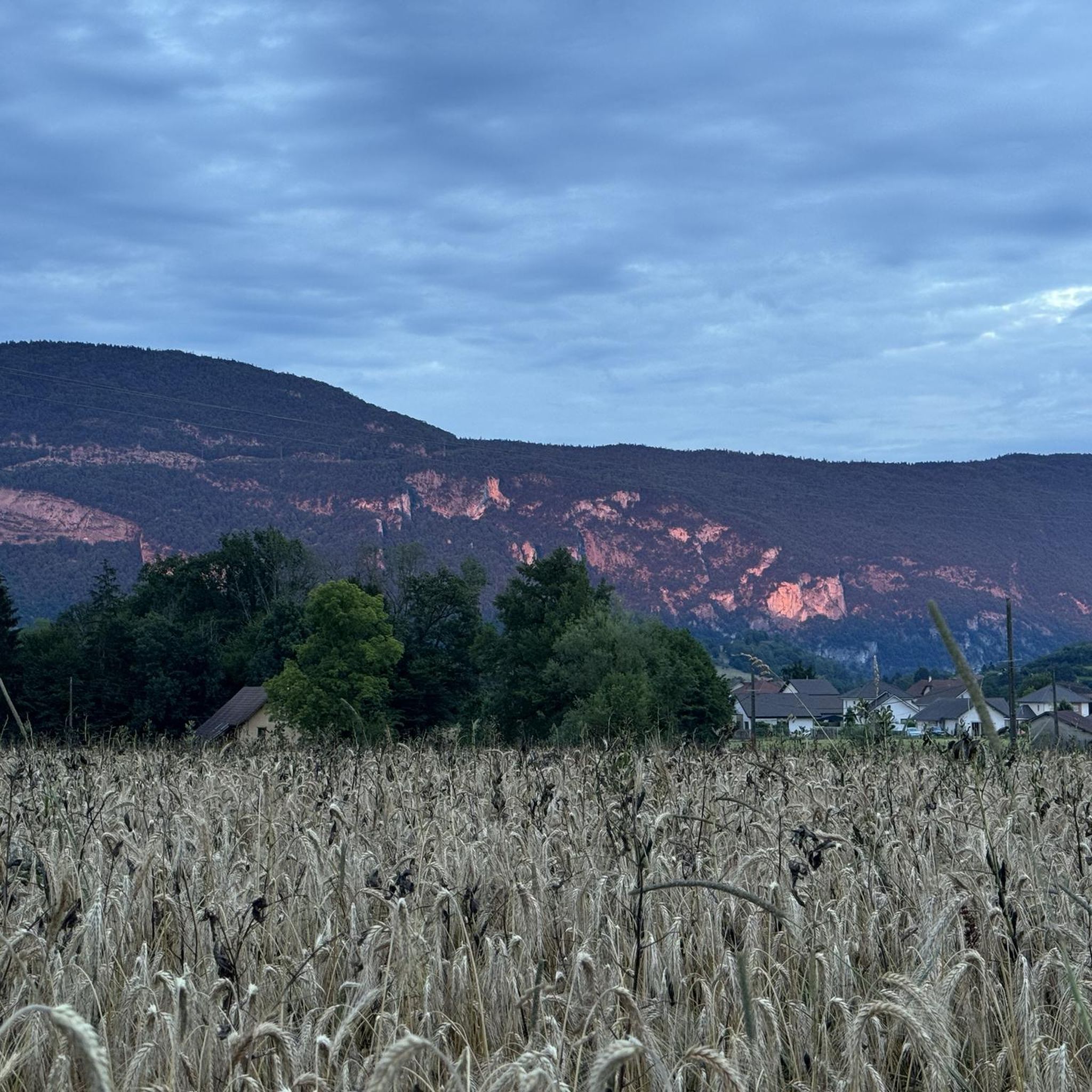
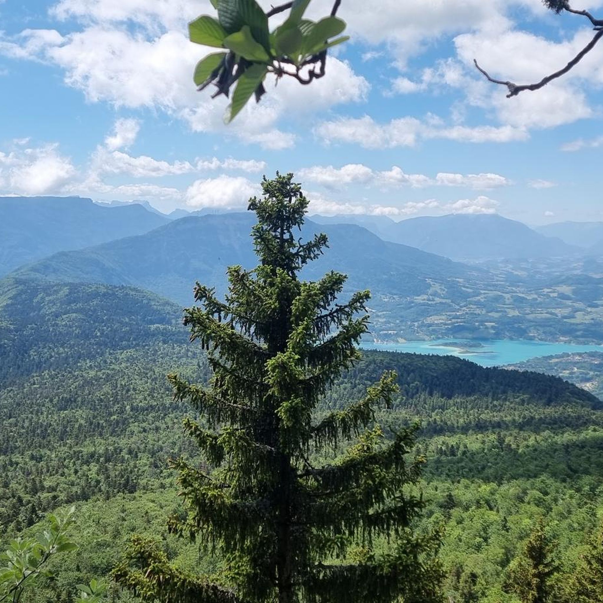
Col de la Lattaz is a mountain pass located at an altitude of 754 meters in the Savoie department, in the heart of the Avant-Pays savoyard. Although it is administratively located in Savoie, it geologically belongs to the Jura Massif. It is a popular spot for cyclists and hikers for its rural landscapes and its numerous access variants.
0
0


Pass located at an altitude of 573 m, to be climbed from Saint-Genix-sur-Guiers or Novalaise.
1
0

The Col de la Lattaz offers beautiful views. Located at an altitude of 754 meters, the climb from the Mont Tournier pass is rather gradual. The road continues around the summit of Mount Chaffaron.
1
0


Fairly rolling pass and most pleasant, especially early in the morning to avoid cars.
4
0
superb pass very little frequented
0
0
Frequently Asked Questions
How many running routes are available around Marcieux?
The Marcieux area offers a wide variety of options for runners, with over 340 routes available. These range from easy strolls to more challenging trail runs, ensuring there's something for every fitness level.
What kind of terrain can I expect on jogging routes near Marcieux?
Jogging routes near Marcieux feature diverse terrain. You'll find scenic loops through the Bugey and Savoy areas, dedicated paths around the beautiful Lac d'Aiguebelette with its 'emerald waters', and sections along the majestic Rhône River. The nearby Chartreuse Regional Park also provides trails through forested areas and offers panoramic mountain views, including glimpses of Mont-Blanc.
Are there options for both easy and challenging runs in the Marcieux area?
Absolutely. The region caters to all abilities, with 33 easy routes perfect for a relaxed jog, and 95 difficult routes for those seeking a more intense workout with significant elevation gain. The majority, 219 routes, are of moderate difficulty, offering a balanced experience.
Can I find jogging routes with scenic views or natural landmarks near Marcieux?
Yes, many running routes in Marcieux offer stunning scenery. You can enjoy incredible views of the Rhône and Lac d'Aiguebelette. For panoramic vistas, trails within the Chartreuse Regional Park, particularly near the Col de Marcieu, provide magnificent views over the Grésivaudan valley and prominent peaks like Mont-Blanc and Belledonne. You might also encounter mountain passes such as Col du Chat or Épine Pass.
Are there any running trails that are part of the ViaRhôna?
Yes, sections of the long-distance ViaRhôna route pass through the region. These paths are often paved and accessible, making them suitable for jogging while offering varied landscapes, including views of the Rhône and marshes.
Are the jogging routes around Marcieux suitable for families?
Many of the easier and moderate routes around Marcieux are suitable for families. The accessible paths around Lac d'Aiguebelette and certain sections of the ViaRhôna offer relatively flat and well-maintained surfaces, ideal for a family jog or walk. Always check the route details for specific difficulty and terrain before heading out.
Can I bring my dog on the running trails in Marcieux?
Generally, dogs are welcome on many outdoor trails in the Marcieux region, especially in natural areas like the Chartreuse Regional Park. However, it's always best to keep them on a leash and check local regulations, particularly around protected areas or private land. Be mindful of other trail users and wildlife.
Are there jogging routes accessible by public transport or with parking options?
While specific public transport links directly to trailheads can vary, many routes, especially those starting from villages like Marcieux, Nances, or Gerbaix, often have nearby parking facilities. For example, the popular Running loop from Marcieux offers a convenient starting point directly from the commune.
What do other runners enjoy the most about jogging in Marcieux?
The running experience in Marcieux is highly rated by the komoot community, with an average score of 4.4 stars from over 260 reviews. Runners frequently praise the varied terrain, from the serene paths around Lac d'Aiguebelette to the inspiring mountain views from the Chartreuse Regional Park, and the well-maintained trails that cater to different skill levels.
Are there any circular jogging routes available?
Yes, many of the routes in the Marcieux area are circular, allowing you to start and finish at the same point. Popular options include the Running loop from Marcieux, the more challenging Running loop from Nances, and the scenic Running loop from Gerbaix.
What is a good moderate-difficulty running route near Marcieux?
For a moderate challenge, consider the Running loop from Novalaise. This 5.5-mile (8.8 km) route typically takes around 57 minutes to complete and offers a balanced experience with some elevation changes.
Are there any longer or more challenging running routes with significant elevation?
For a more demanding run, the Running loop from Nances is a great choice. This difficult 5.6-mile (9.1 km) path features significant elevation gain, providing a challenging experience with rewarding views. Another option is the Crusille Pass (573 m) – View of Site des Chenevières loop from Gerbaix, which is 6.1 miles (9.9 km) with notable ascents.
Most popular routes around Marcieux
Most popular attractions around Marcieux

Get inspired with the komoot mobile app


Explore more
Browse the best Running Trails & Routes in other regions.
