The best road cycling routes around Marcieux
4.5
(797)
23,821
riders
178
rides
Road cycling around Marcieux, situated in the Savoie region, offers diverse landscapes ranging from serene lakeside routes to challenging mountain ascents. The terrain includes varied elevations, from the shores of Lac d'Aiguebelette to the formidable climbs of the Mont du Chat and surrounding cols. This area provides a mix of gentle slopes and steep gradients, characteristic of the French Pre-Alps.
Best road cycling routes around Marcieux
- The most popular road cycling route is Col de l'Épine – Col de l'Épine…
Last updated: October 11, 2026
5.0
(12)
263
riders
64.1km
04:20
2,070m
2,070m
Hard road ride. Very good fitness required. Mostly well-paved surfaces and easy to ride.
4.3
(3)
68
riders
35.2km
01:52
610m
600m
Moderate road ride. Good fitness required. Mostly well-paved surfaces and easy to ride.

4.6
(5)
71
riders
28.2km
01:25
400m
400m
Moderate road ride. Good fitness required. Some segments of this route may be unpaved and difficult to ride.
4.0
(2)
68
riders
47.0km
02:37
920m
920m
Hard road ride. Very good fitness required. Some segments of this route may be unpaved and difficult to ride.
5.0
(3)
43
riders
32.7km
01:48
590m
590m
Moderate road ride. Good fitness required. Mostly well-paved surfaces and easy to ride.
Get access to more routes and recommendations from other explorers.
Already have an account?
Our route recommendations are based on thousands of hikes, rides, and runs completed by other people on komoot.
Start today with a free account
Your next adventure awaits.


Tips from the Community

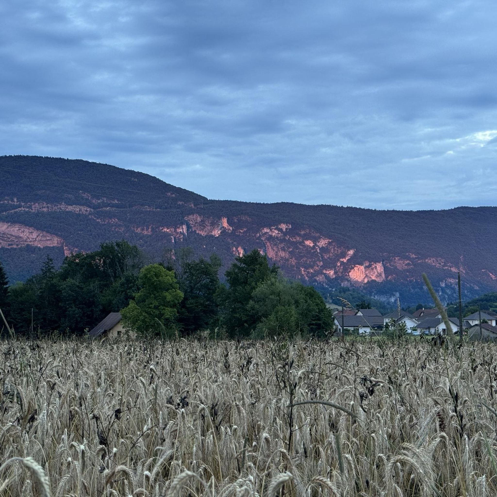
The cliffs of Rochefort are a remarkable natural site located in the Avant-Pays savoyard, at the foot of the Banchet mountain, near the village of Rochefort and Saint-Genix-les-Villages
0
0

Small waterfall directly on the D1006, quite busy, but mostly with a bike lane going uphill.
2
0
The St Cassin waterfall is located on the last spurs of the Chartreuse massif. The stream plunges into the Hyères river on an almost vertical slope, allowing it to detach completely from the cliff.
0
0

Here is the route for the ascent of the Col de la Crusille starting from Novalaise
1
0

The ASTERIX comic series by the author duo Goscinny & Uderzo, which has enjoyed success far beyond France's borders, has introduced its international audience to the unexpected characters that appear here. The distinctive style with which the various inhabitants of the famous Gallic village are drawn makes each character unique.
0
0


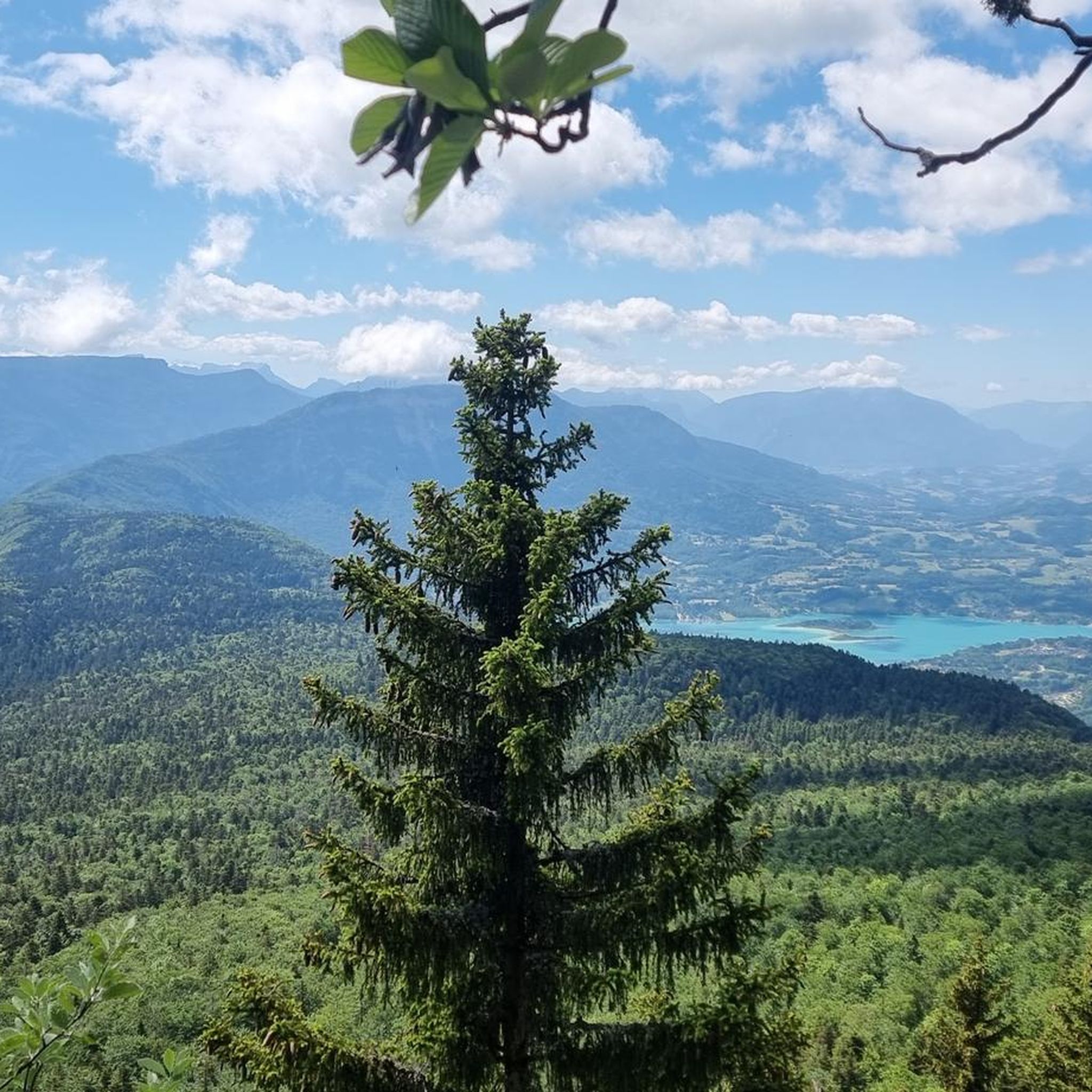
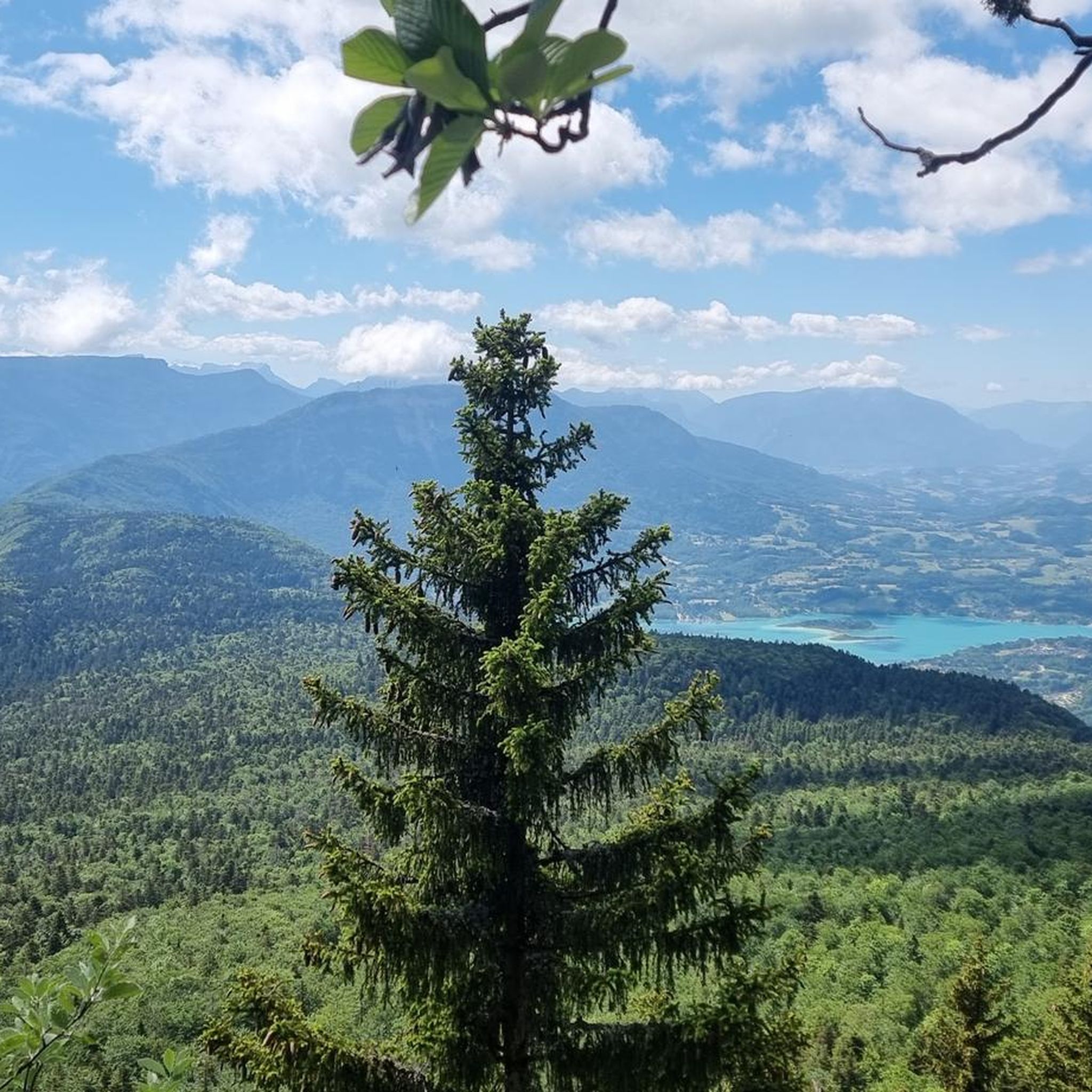
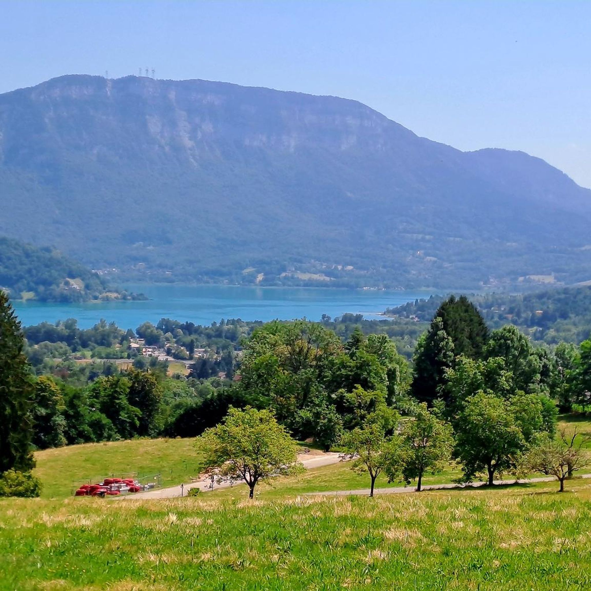
A very quiet and pleasant road. On the Chambéry side, a good part is in the shade, the slope of the main road is rather constant around 7-8%. On the Novalaise side, the mineral aspect with the cliff is more present in the middle of the climb. This side is quite steep with kilometers at 8-9%. On each side, 1 belvedere offers a breathtaking view of Lake Aiguebelette (approx. 2 km from the summit) and on the other side of Chambéry, the Bauges, Belledonne, the Chartreuse (500 m from the summit). The summit is in the forest.
1
0

That's exactly my experience. The traffic quickly distracts you from your thoughts. Otherwise, the scenery is great.
0
0
Frequently Asked Questions
How many road cycling routes are available around Marcieux?
Marcieux, located in the Savoie region, offers a wide array of road cycling routes. You can explore over 180 routes, catering to various skill levels and preferences, from serene lakeside paths to challenging mountain ascents.
What kind of terrain can I expect when road cycling around Marcieux?
The terrain around Marcieux is incredibly diverse, characteristic of the French Pre-Alps. Cyclists can experience everything from gentle slopes around Lac d'Aiguebelette to formidable climbs like the Mont du Chat, known for its steep gradients. The region offers a mix of forested roads, open rural landscapes, and high mountain passes, providing varied challenges and stunning views.
What are the difficulty levels for road cycling routes in Marcieux?
Road cycling routes in Marcieux cater to all abilities. There are numerous options for easy rides, particularly around the lakes, as well as a significant number of moderate and difficult routes. For instance, challenging ascents like the Col de l'Épine – Col de l'Épine viewpoint loop from Nances offer substantial elevation gain, while routes around Lac d'Aiguebelette provide more moderate experiences.
What scenic viewpoints can I expect on road cycling routes around Marcieux?
The Marcieux area is rich in scenic viewpoints. Cyclists are often treated to panoramic vistas of Lac d'Aiguebelette, the surrounding forests, and rural landscapes. Ascents like the Mont du Chat offer magnificent panoramic views that can extend to Mont Blanc on clear days. The Col du Chat (638 m) and Épine Pass are also known for their breathtaking mountain views.
Are there family-friendly road cycling routes in Marcieux?
Yes, Marcieux offers family-friendly road cycling options, particularly around the serene Lac d'Aiguebelette. Routes like the Aiguebelette-le-Lac – Lac d'Aiguebelette loop from Nances provide relatively flat and picturesque paths suitable for families looking for a more relaxed ride.
What is the best time to visit Marcieux for road cycling?
The best time for road cycling in Marcieux is generally from spring through autumn. During these seasons, the weather is most favorable for tackling both lakeside routes and mountain passes. While specific routes like the Col de Marcieu are accessible, always check local conditions, especially for higher mountain passes, as they can be affected by snow earlier or later in the season.
Are there any circular road cycling routes around Marcieux?
Yes, many road cycling routes around Marcieux are designed as loops, allowing you to start and finish in the same location. Examples include the Refill your bidon here! ☝ – Lac d'Aiguebelette loop from Nances, which circles the lake, and the more challenging Col de l'Épine – Col de l'Épine viewpoint loop from Nances.
Where can I find parking for road cycling trails in Marcieux?
Parking is generally available in the towns and villages near the starting points of many road cycling routes. For routes around Lac d'Aiguebelette, you can often find parking in areas like Nances or Aiguebelette-le-Lac. Specific parking information for individual routes can often be found on their respective komoot tour pages.
Can I find cafes or accommodation near the road cycling routes in Marcieux?
Yes, the Marcieux area, being part of the Savoie region, offers various amenities for cyclists. You'll find cafes, restaurants, and accommodation options in the towns and villages situated along or near popular cycling routes, especially around Lac d'Aiguebelette and in larger hubs like Chambéry.
What do other road cyclists enjoy most about road cycling in Marcieux?
The road cycling routes around Marcieux are highly rated by the komoot community, with an average score of 4.5 stars from over 500 reviews. Cyclists frequently praise the diverse landscapes, from the tranquil lakeside paths to the challenging mountain passes, and the stunning panoramic views, particularly from cols like Mont du Chat. The variety of routes catering to all difficulty levels is also a significant draw.
How long are the road cycling routes typically around Marcieux?
The length of road cycling routes around Marcieux varies significantly to suit different preferences and fitness levels. You can find shorter routes, such as the Aiguebelette-le-Lac – Lac d'Aiguebelette loop from Nances at about 14.8 miles (23.9 km), perfect for a quick ride. Longer, more challenging routes like the Chambéry North Greenway – Virignin footbridge loop from Nances can extend to over 55 miles (88 km).
Are there any notable landmarks or attractions along the road cycling routes?
Absolutely. Cyclists can encounter several notable landmarks and attractions. The routes often pass by the beautiful Lac d'Aiguebelette and Lake Bourget. Mountain passes like Col du Chat (638 m) and Épine Pass are significant points of interest, offering both a physical challenge and rewarding views. Portions of the ViaRhôna Cycle Path are also accessible.
Most popular routes around Marcieux
Most popular attractions around Marcieux

Get inspired with the komoot mobile app


Explore more
Browse the best Road cycling routes in other regions.
