The 4 Most Amazing Peaks around Ban-De-Sapt
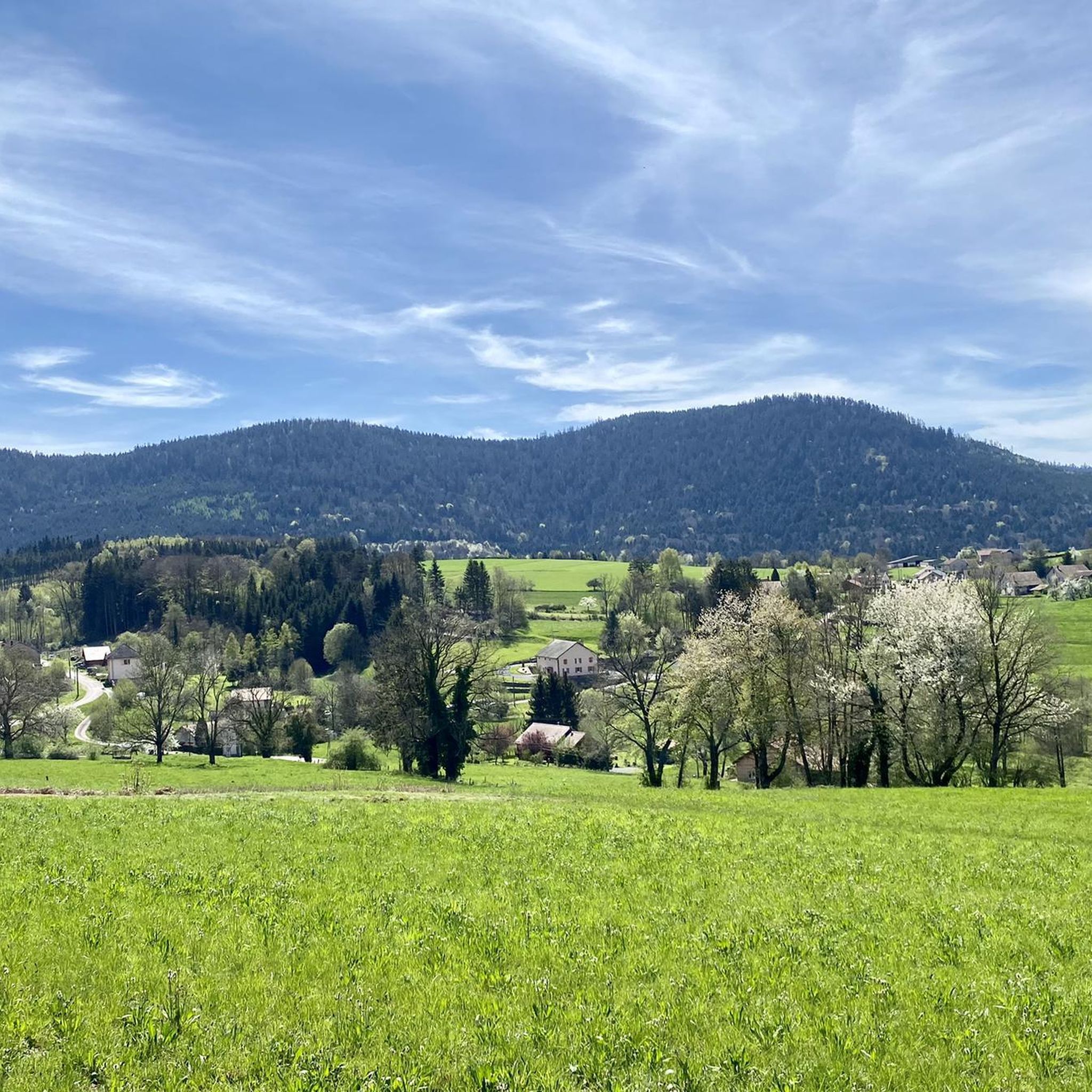
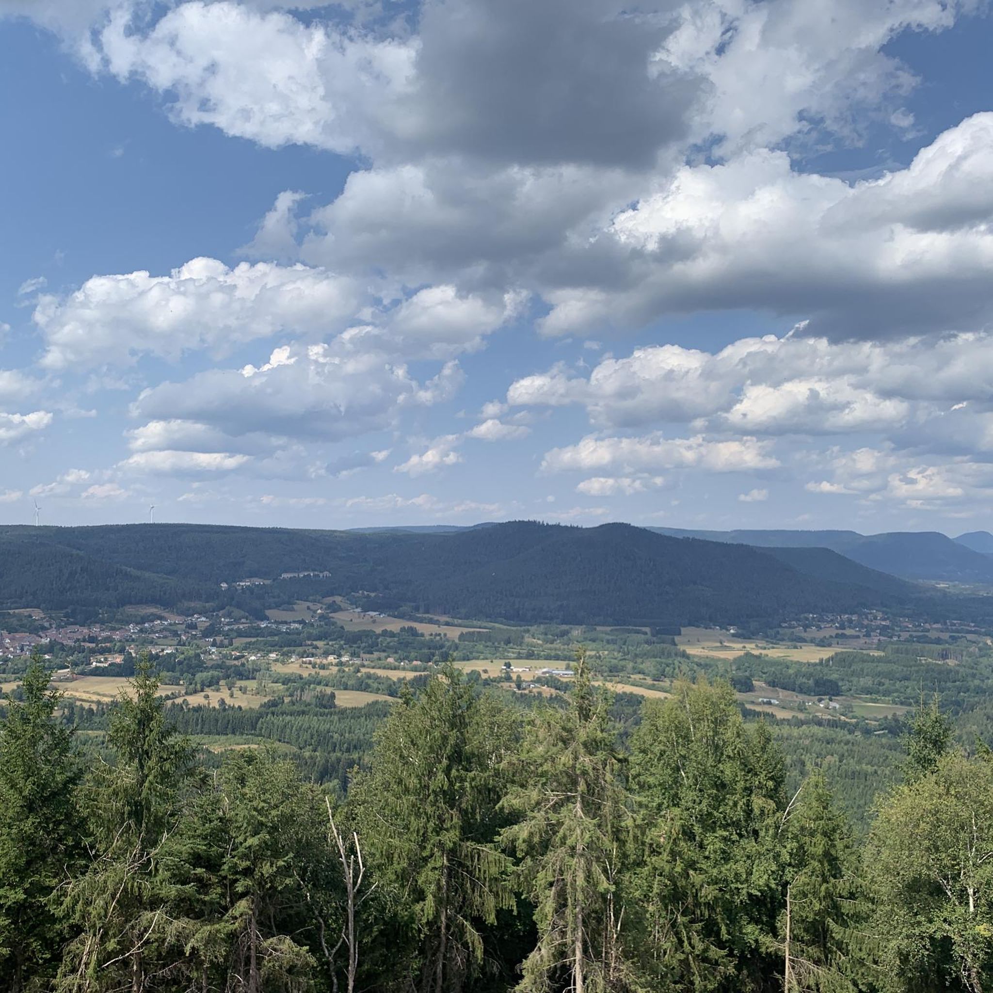
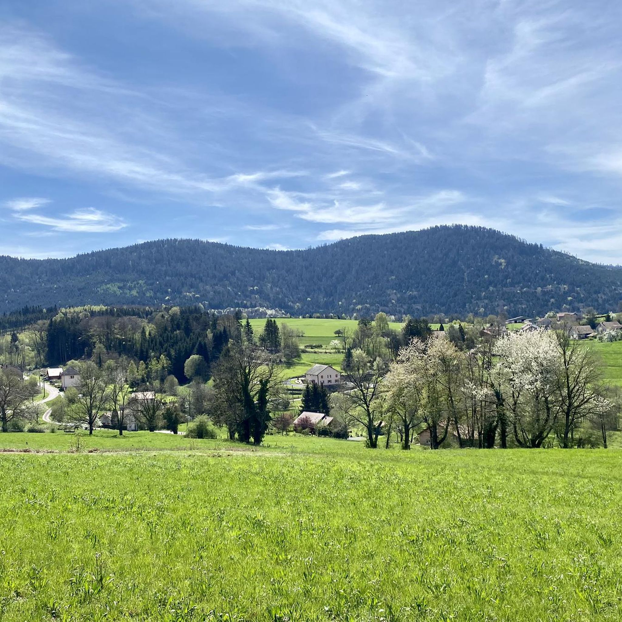
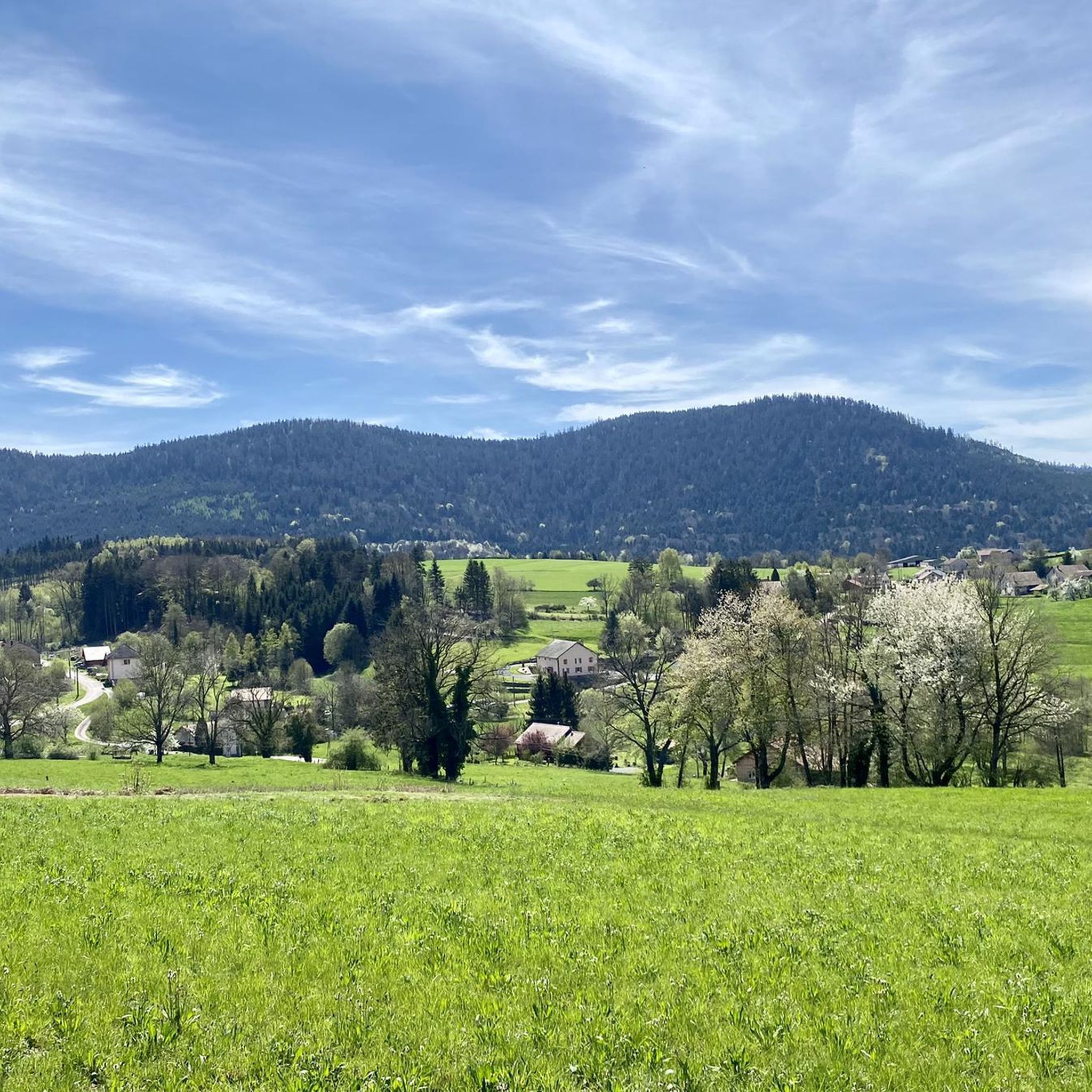
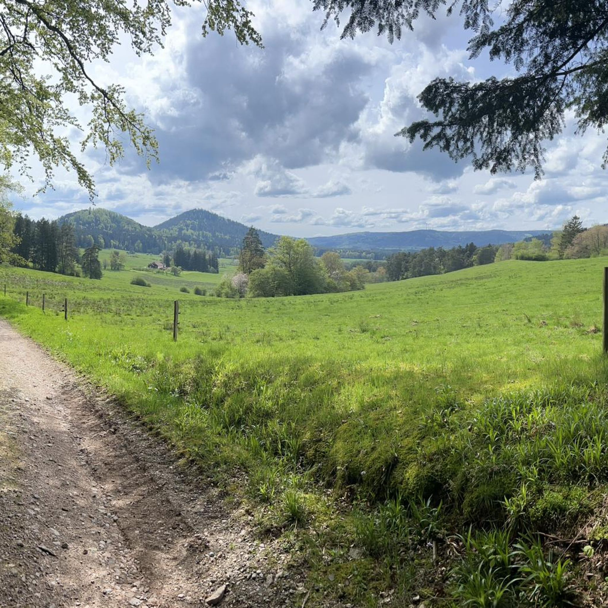
Best mountain peaks around Ban-De-Sapt are found in the Vosges department of northeastern France, serving as a gateway to the broader Vosges Mountains. The area offers opportunities for hiking and enjoying panoramic views, with elevations ranging from 421 to 888 meters. This region provides access to various notable peaks and viewpoints, making it suitable for outdoor exploration.
Best mountain peaks around Ban-De-Sapt
- The most popular mountain peaks is Julius Tower (Tour du Climont), a man-made monument and summit that…
Last updated: June 24, 2026
Roche des Abris
Highlight • Natural Monument
Translated by Google •
Tip by

High Rock
Highlight • Summit
Translated by Google •
Tip by

Sign up now to discover places like this
Get recommendations on the best single tracks, peaks, & plenty of other exciting outdoor places.
Sign up for free
Tête du Coquin Summit
Highlight • Summit
Translated by Google •
Tip by

Julius Tower (Tour du Climont)
Highlight • Monument
Translated by Google •
Tip by

Start today with a free account
Your next adventure awaits.
Login or Signup

Tips from the Community

This rock shelter linked to a fort is that of the commander of the cartographic section. Inside there is a table, a stove, a bed, a telephone and electricity. This is where all the information obtained by the observers on the massif arrives.
0
0

There was probably once a fortification here. Today it is a wonderful viewing rock on the western edge of the hiking trail (approx. 100 m dead-end path there).
2
1


The Juliusturm was built by the Vosges Club and you have a beautiful view over the Vosges.
0
0

very nice view at the top of the tower
0
0

The Tête du Coquin offers a 360 ° panoramic view of the Lorraine plain in the northeast and the Alsatian mountains in the southeast.
4
0

The tower invites you to linger.
1
0
Frequently Asked Questions
What mountain range is Ban-de-Sapt located in?
Ban-de-Sapt is nestled in the Vosges department of northeastern France, serving as a gateway to the broader Vosges Mountains. While the commune itself has elevations ranging from 421 to 888 meters, it provides excellent access to many notable peaks within the Vosges range.
Are there easy mountain peaks or viewpoints suitable for beginners around Ban-de-Sapt?
Yes, several spots offer accessible experiences. The hike to Tête de Raves from Petite-Fosse is an easy 3-kilometer trail with a modest 151-meter elevation gain. Along this route, you'll find the Balcon du Ban-de-Sapt, a viewpoint offering stunning panoramic views. Additionally, the Tête du Coquin Summit is known for its pleasant and easy hike, providing a 360° panoramic view.
What historical sites can I find among the mountain peaks near Ban-de-Sapt?
The region is rich in history. La Fontenelle (Cote 627) is a historically significant site from World War I, featuring a necropolis and an imposing allegorical monument, all while offering remarkable views. The Roche des Abris is another historical rock shelter linked to a fort, offering great views. The Ormont Massif also features WWI remains along some of its trails.
What are some of the most popular mountain peaks in the wider Vosges Mountains accessible from Ban-de-Sapt?
Beyond the immediate vicinity, the broader Vosges Mountains offer more prominent peaks. Hohneck, at 1,363 meters, provides breathtaking panoramas that can include the Black Forest and even the Swiss Alps on a clear day. The Ballon d'Alsace, rising to 1,247 meters, is another popular and accessible ascent with unobstructed views of surrounding valleys.
What kind of views can I expect from the mountain peaks in this region?
You can expect diverse and stunning views. From the Tête du Coquin Summit, you'll get a 360° panoramic view of the Lorraine plain and the Alsatian mountains. The Julius Tower (Tour du Climont) offers a gigantic view towards the Black Forest and Northern Vosges. The Kemberg Massif provides magnificent views of Saint-Dié, while Hohneck offers expansive panoramas across valleys and potentially to the Black Forest and Swiss Alps.
Are there any unique natural features to look out for on these peaks?
Yes, the region boasts interesting natural features. The High Rock is a beautiful colorful sandstone plateau with great views. The Kemberg Massif is known for its distinctive pink sandstone rocks. The Ormont Massif features remarkable rock formations, and some trails there lead to the Molières waterfall.
What outdoor activities can I do near the mountain peaks around Ban-de-Sapt?
Besides hiking, the area around Ban-de-Sapt offers various outdoor activities. You can explore numerous cycling routes, including options for gravel biking. For example, there are routes like the 'Rascal's Head – Tête du Coquin Summit loop' for gravel biking or the 'Liberty Tower – Saint Martin Church loop' for touring bicycles. You can find more details on these activities in the Gravel biking around Ban-De-Sapt and Cycling around Ban-De-Sapt guides.
Are there running trails available near these mountain peaks?
Yes, there are several running trails in the vicinity. You can find routes such as the 'View from La Fontenelle loop' or the 'Great point of view loop from Saint-Jean-d'Ormont.' These trails offer varying distances and difficulties for runners. For more information, check out the Running Trails around Ban-De-Sapt guide.
What do visitors enjoy most about the mountain peaks around Ban-de-Sapt?
Visitors particularly appreciate the stunning panoramic views and the historical significance of many sites. The Julius Tower (Tour du Climont) is highly rated for its 'gigantic view,' while the High Rock is loved for its 'beautiful colorful sandstone plateau with great views.' The combination of natural beauty and historical context, often accessible via pleasant hikes, makes the area very appealing.
What is the best time to visit the mountain peaks around Ban-de-Sapt?
The region is generally enjoyable for hiking and outdoor activities from spring through autumn. During these seasons, the weather is typically mild, and the trails are clear. Autumn offers particularly beautiful scenery with changing foliage. While winter hiking is possible, conditions can vary, and some trails might be more challenging due to snow or ice.
Are there circular walks available around the peaks?
Yes, the area offers several circular walking routes. For instance, around La Fontenelle (Cote 627), you can find easy hiking loops ranging from 3.6 to 5.29 kilometers. Many trails in the broader Vosges Mountains, including those developed by the Club Vosgien in areas like the Kemberg Massif, are designed as circular paths to maximize scenic and historical points of interest.
Most popular routes around Ban-De-Sapt
Most popular attractions around Ban-De-Sapt

Get inspired with the komoot mobile app


Explore more
See even more amazing summits around Ban-De-Sapt with these guides:
