The best running trails around Verrens-Arvey
4.7
(28)
3,053
runners
294
runs
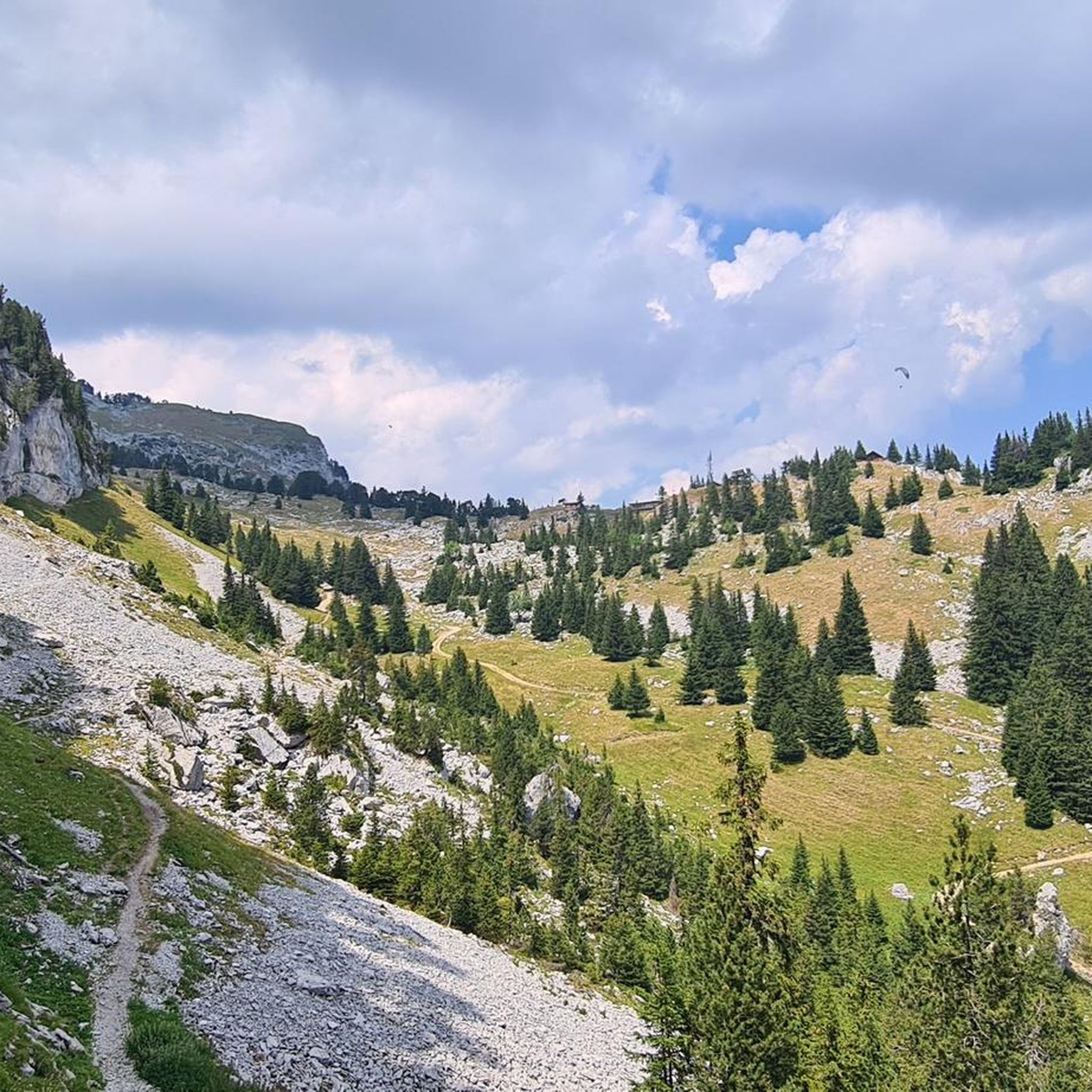
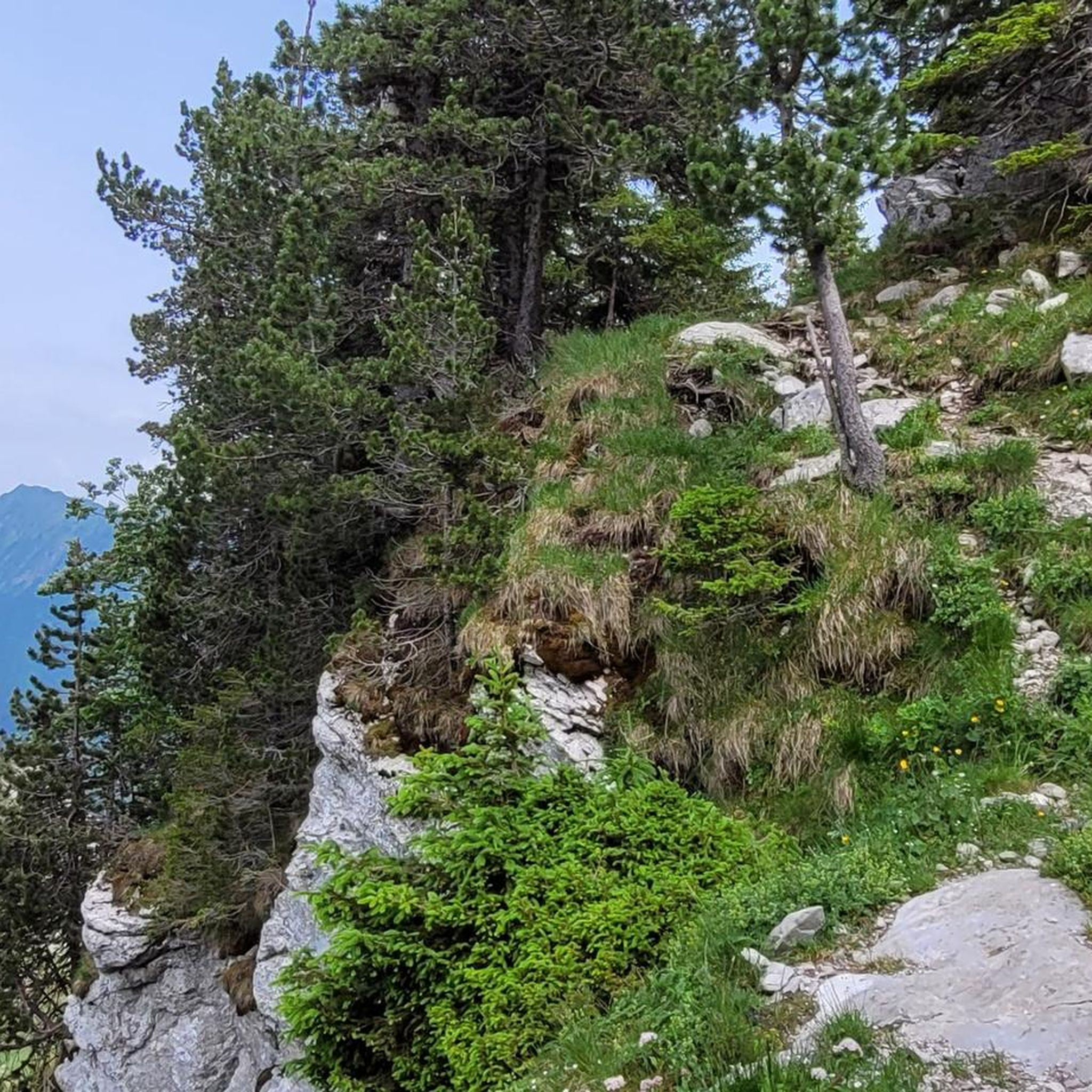
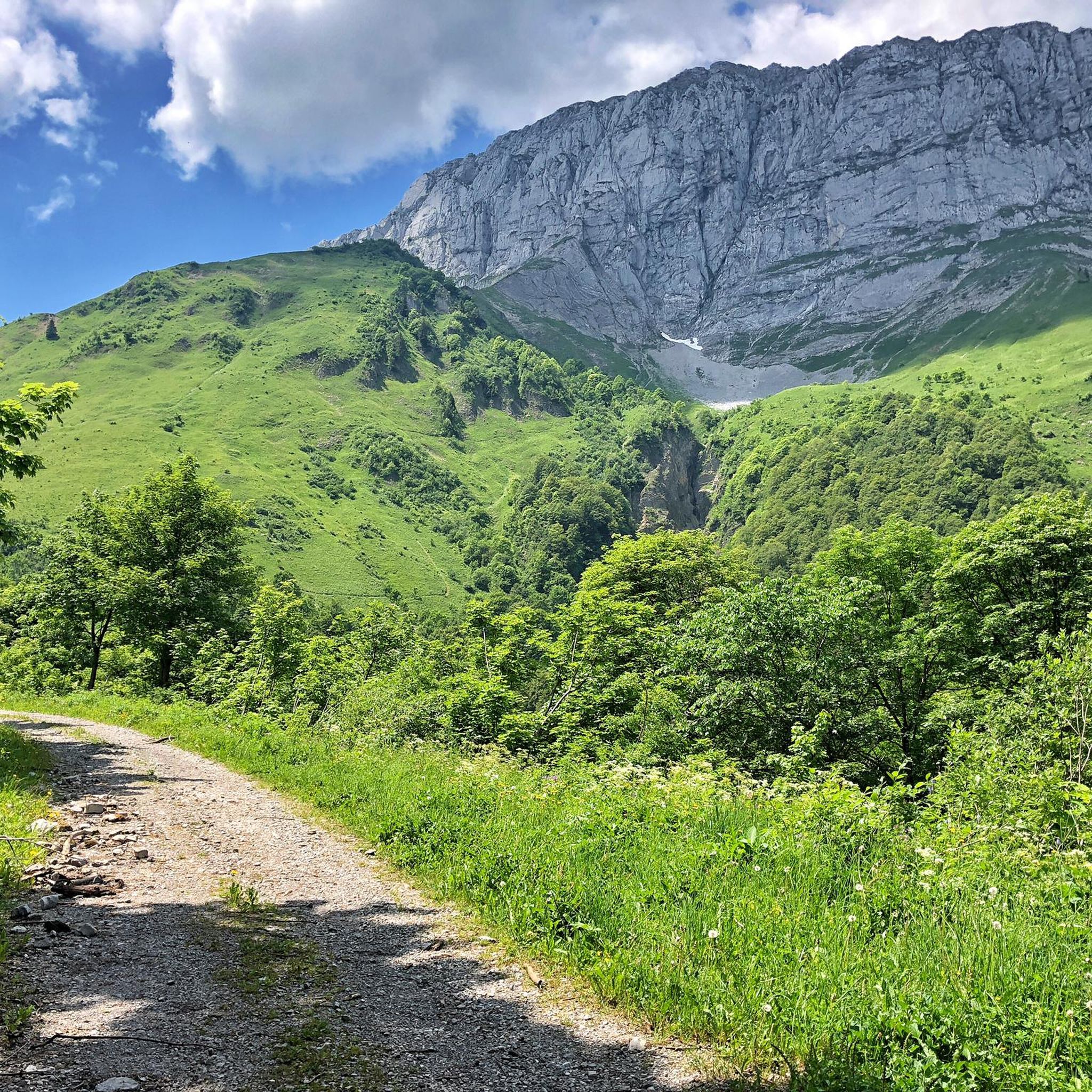
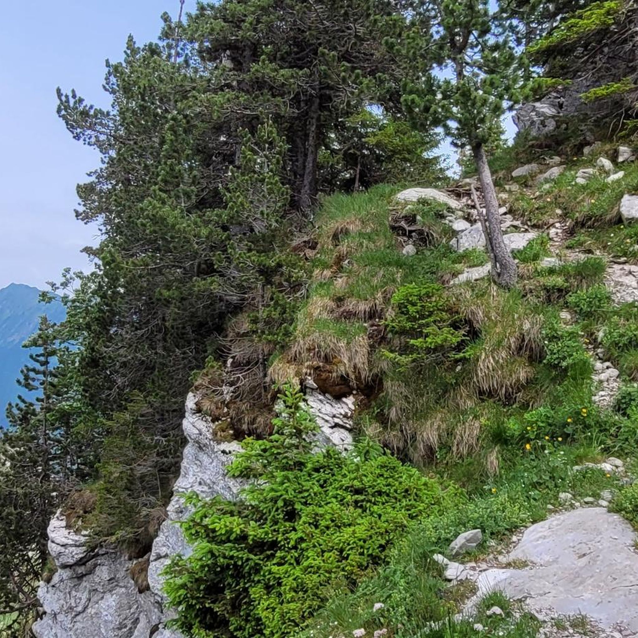
Jogging routes around Verrens-Arvey offer diverse terrain, characterized by varied elevations and natural landscapes. The region features paths that ascend through hills, providing opportunities for challenging runs, alongside more gentle routes through local scenery. These running trails navigate through the natural environment, offering a range of distances and difficulty levels.
Best jogging routes around Verrens-Arvey
- The most popular jogging route is Haut du Four Pass loop from Plancherine, a 9.1 miles (14.6 km) trail that takes 3 hours 7…
Last updated: October 5, 2026
45
runners
14.3km
02:45
1,050m
1,050m
Hard run. Very good fitness required. Sure-footedness, sturdy shoes and alpine experience required.
21
runners
15.2km
03:49
1,560m
1,560m
Hard run. Very good fitness required. Sure-footedness, sturdy shoes and alpine experience required.

5.0
(2)
38
runners
7.70km
01:12
430m
430m
Hard run. Very good fitness required. Mostly paved surfaces. Suitable for all skill levels.
3.0
(1)
14
runners
12.8km
01:53
730m
730m
Hard run. Very good fitness required. Sure-footedness, sturdy shoes and alpine experience required.
12
runners
14.6km
03:07
1,210m
1,210m
Hard run. Very good fitness required. Sure-footedness, sturdy shoes and alpine experience required.
Get access to more routes and recommendations from other explorers.
Already have an account?
Our route recommendations are based on thousands of hikes, rides, and runs completed by other people on komoot.
Start today with a free account
Your next adventure awaits.


Tips from the Community

Nice gentle climb from Faverges. Several options are available at the top of the pass. Buy the famous Tamié cheese at the Abbaye Notre Dame or head to Ugine via Marthod on pleasant small roads, otherwise join Albertville or Chambéry.
0
0

A former fortress. Today it is a leisure center with various activities. You can even drive up by car - there are ample parking spaces. Please check the opening hours in advance. It is not open every day.
0
0

Opposite the abbey church is a drinking water fountain.
0
0

Enjoy some altitude gain in beautiful surroundings!
0
0

A hill with a lot of traffic, better on roads that run parallel.
0
0

Chalet under renovation but part of it nevertheless provides shelter.
0
0

In the Tamié valley, at an altitude of 900 meters, this Cistercian monastery is still active. Founded in the 12th century by monks, the abbey produces a famous cheese, Tamié.
1
0
Located at an altitude of 907 meters, this pass is located in the Bauges massif, in the town of Plancherine. It separates the valley of Savoie and Albertville from the Faverges valley and Lake Annecy.
2
0
Frequently Asked Questions
How many running routes are available in the Verrens-Arvey area?
There are over 10 dedicated running routes around Verrens-Arvey, offering a variety of distances and difficulty levels to explore the region's natural landscapes.
Are there easy running routes suitable for beginners in Verrens-Arvey?
Yes, Verrens-Arvey offers routes suitable for beginners. For a more gentle experience, consider the Running loop from Plancherine, which is a moderate 5.5 km path with manageable elevation gain, perfect for those starting out or looking for a relaxed run.
Where can I find challenging long-distance running trails around Verrens-Arvey?
For those seeking a challenge, Verrens-Arvey has several difficult routes. The region is characterized by varied elevations, offering significant climbs. An example of a demanding route is the Haut du Four Pass loop from Plancherine, which covers 14.6 km with over 1200 meters of elevation gain.
What kind of scenery can I expect on the running trails in Verrens-Arvey?
The running trails in Verrens-Arvey navigate through diverse natural environments, including local paths, varied elevations, and natural surroundings. You'll experience a mix of landscapes, from ascents through hills to more gentle routes through local scenery, often with views of the surrounding mountains and valleys.
Are there any circular running routes in Verrens-Arvey?
Yes, many of the running routes in Verrens-Arvey are designed as loops, allowing you to start and finish at the same point. For instance, the Running loop from Verrens-Arvey is an 8.4 km circular trail that takes you through local landscapes.
What do other runners enjoy most about jogging in Verrens-Arvey?
The running routes in Verrens-Arvey are highly rated by the komoot community, with an average score of 4.6 stars from over 20 reviews. Runners often praise the varied terrain, the natural surroundings, and the options available for different ability levels.
Are there any historical sites or landmarks I can see along the running routes?
Yes, some routes incorporate historical sites. For example, the Château de Chevron – Villa Gallo-Romaine loop from Verrens-Arvey explores historical sites and local scenery. Additionally, nearby attractions include the Notre-Dame de Tamié Abbey, which can be a point of interest in the wider region.
Are there any natural monuments or viewpoints accessible from the running trails?
While specific viewpoints directly on the running trails are not detailed, the region around Verrens-Arvey features several natural monuments and summits. Notable highlights include La Belle-Étoile and Mont Trélod, which offer impressive natural beauty and potential panoramic views.
What is the best time of year for running in Verrens-Arvey?
Verrens-Arvey offers diverse terrain suitable for running throughout much of the year. Spring and autumn generally provide pleasant temperatures and vibrant scenery. Summer can be warm, so early morning or late evening runs are often preferred. Winter running is possible, but some higher elevation routes may be affected by snow or ice, requiring appropriate gear.
Can I find running routes that are suitable for families with children?
While specific 'family-friendly' designations are not provided, routes with moderate difficulty and shorter distances, such as the Running loop from Verrens-Arvey (8.8 km, moderate), could be suitable for active families. It's always recommended to check the route details and elevation profile to ensure it matches your family's fitness level.
Are there any running routes that pass by places to eat or drink?
The guide does not specifically detail routes passing by cafes or restaurants. However, many villages and towns in the Verrens-Arvey region, including Verrens-Arvey itself, offer local amenities where you can find refreshments before or after your run.
What kind of elevation changes should I expect on the running trails?
Running in Verrens-Arvey is defined by varied elevations. You can expect a range from moderate ascents on routes like the Château de Chevron – Villa Gallo-Romaine loop (289m elevation gain) to significant climbs on more challenging trails, such as the Haut du Four Pass loop with over 1200m of elevation.
Most popular routes around Verrens-Arvey
Most popular attractions around Verrens-Arvey

Get inspired with the komoot mobile app


Explore more
Browse the best Running Trails & Routes in other regions.
