The best road cycling routes around Verrens-Arvey
4.5
(600)
22,064
riders
100
rides
Road cycling routes around Verrens-Arvey are situated in the Savoie department of the Auvergne Rhône-Alpes region, characterized by significant elevation changes and mountain passes. The terrain includes varied roads and cycle paths, offering challenging climbs and scenic descents. The area is bordered by the Massif des Bauges Regional Natural Park and features panoramic mountain views. Proximity to Lake Annecy also contributes to the diverse cycling landscape.
Best road cycling routes around Verrens-Arvey
- The most popular road cycling route is Conflans…
Last updated: October 15, 2026
4.5
(56)
1,037
riders
65.2km
02:43
440m
440m
Moderate road ride. Good fitness required. Mostly well-paved surfaces and easy to ride.
5.0
(5)
344
riders
94.6km
05:28
2,230m
2,230m
Hard road ride. Very good fitness required. Mostly well-paved surfaces and easy to ride.

4.7
(10)
307
riders
110km
05:52
2,110m
2,110m
Hard road ride. Very good fitness required. Mostly well-paved surfaces and easy to ride.
4.7
(3)
292
riders
130km
06:15
1,720m
1,720m
Hard road ride. Very good fitness required. Mostly well-paved surfaces and easy to ride.
4.8
(4)
174
riders
205km
10:35
3,220m
3,220m
Hard road ride. Very good fitness required. Some segments of this route may be unpaved and difficult to ride.
Get access to more routes and recommendations from other explorers.
Already have an account?
Our route recommendations are based on thousands of hikes, rides, and runs completed by other people on komoot.
Start today with a free account
Your next adventure awaits.
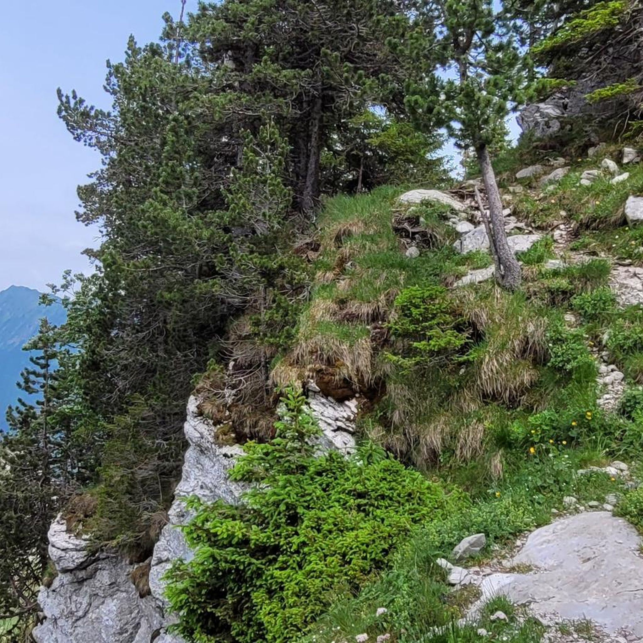
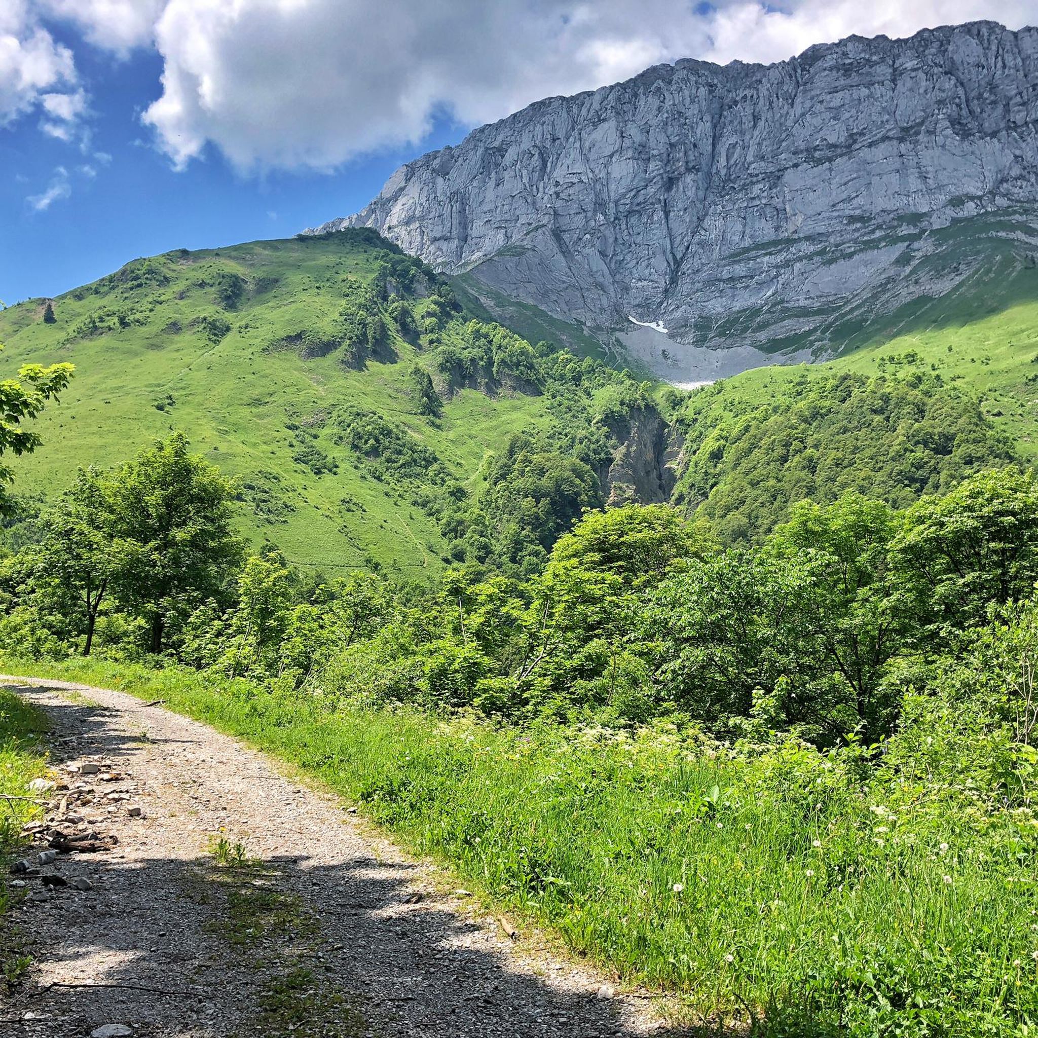
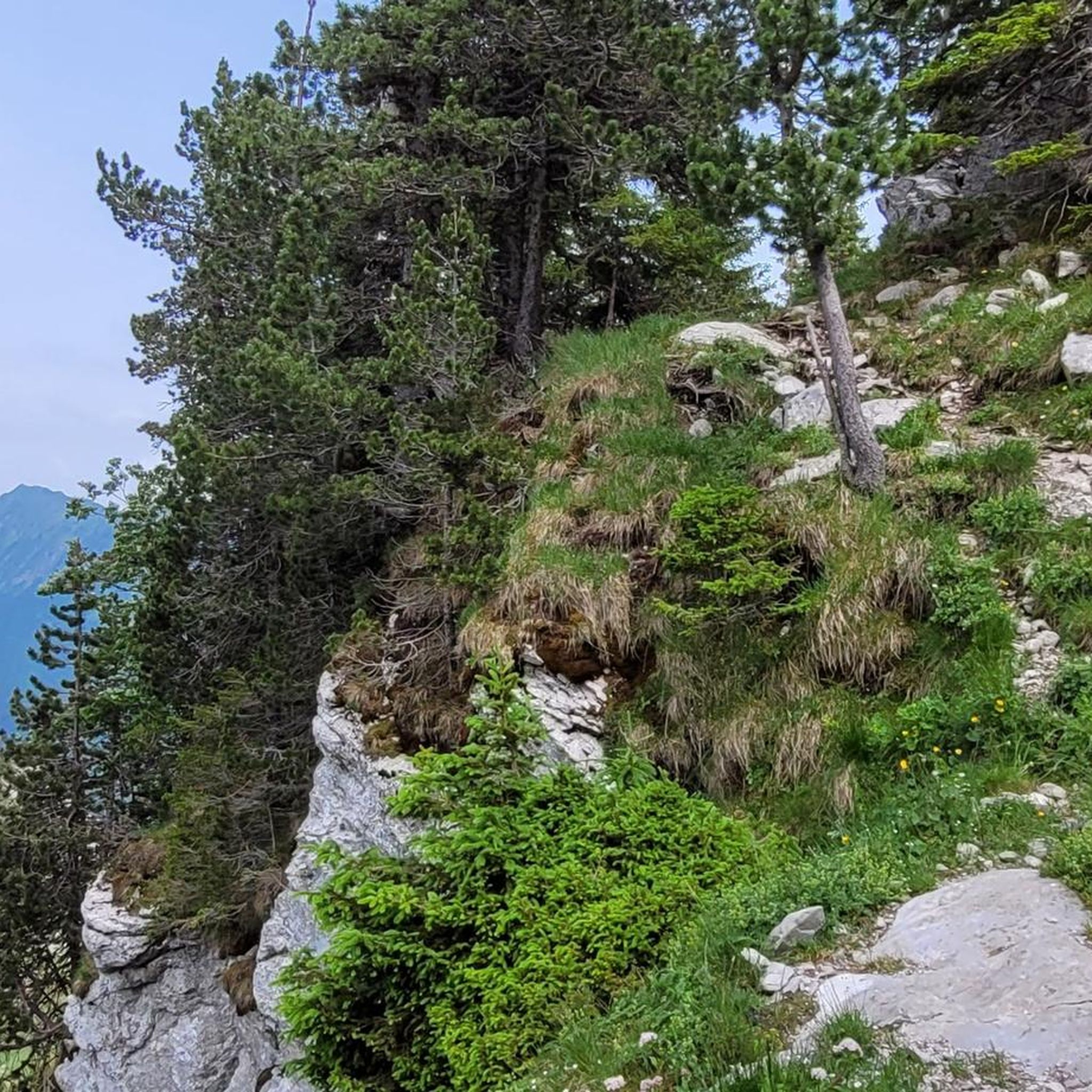
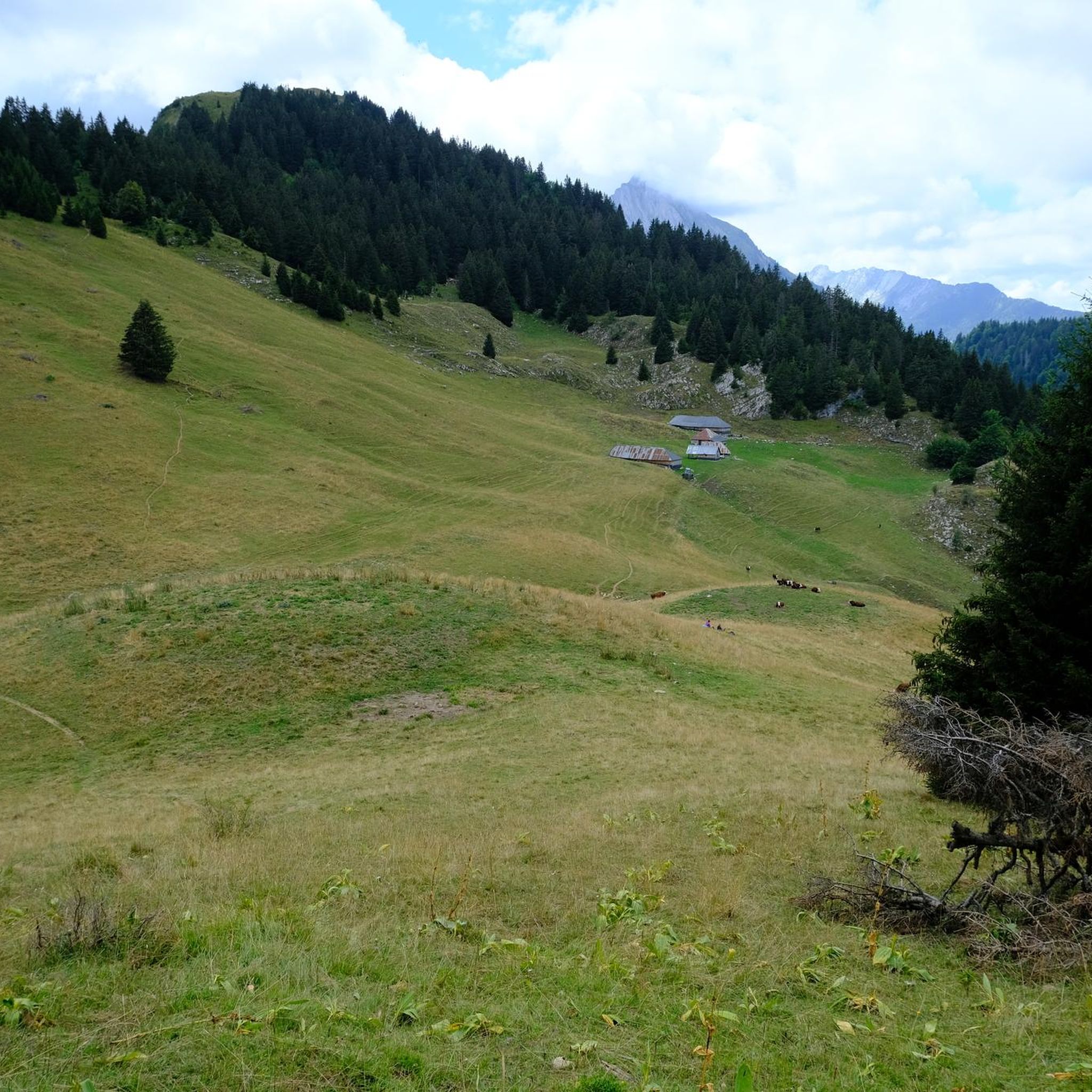


Tips from the Community

very beautiful view of Mont Blanc
0
0

Nice little pass, quiet road, great views.
2
0
D109, beautiful descent to Ugine
2
0
Beautiful cycle path along the Isere.
2
0
Small street and great views. Little traffic.
2
0
Beautiful cycle path, nice pond with a rest area.
3
0

Even more beautiful downhill
3
0
Frequently Asked Questions
What kind of road cycling experience can I expect around Verrens-Arvey?
Road cycling around Verrens-Arvey offers a diverse experience characterized by significant elevation changes and challenging mountain passes. You'll find a mix of varied roads and cycle paths, providing both demanding climbs and scenic descents through the beautiful Savoie department. The region is bordered by the Massif des Bauges Regional Natural Park, ensuring panoramic mountain views throughout your ride.
Are there road cycling routes suitable for beginners or families in Verrens-Arvey?
Yes, while the region is known for its challenging climbs, there are also routes suitable for less experienced riders. For example, the Conflans – Véloroute 62 loop from Frontenex is a moderate 40.5-mile (65.2 km) trail that follows a designated cycling path, offering a consistent ride through the local landscape. There are 13 easy routes available in the area, providing gentler options.
What are some of the most challenging road cycling climbs near Verrens-Arvey?
The region is a paradise for cyclists seeking a challenge. Notable climbs include the ascent to Col des Saisies, featured in the difficult Col des Saisies – Conflans loop from Frontenex, which involves significant elevation gain. Another demanding option is the Col du Frêne (950 m) – Marocaz Pass loop from Aidier, which features sustained climbing over multiple mountain passes. The Tamié Pass (Col de Tamié) is also a significant local challenge, especially its southern side.
What is the best time of year for road cycling in Verrens-Arvey?
The best time for road cycling in Verrens-Arvey is generally from late spring through early autumn (May to October). During these months, the weather is more favorable, and mountain passes are typically clear of snow, allowing access to the full range of routes. Summer offers warmer temperatures, while spring and autumn provide cooler rides and vibrant scenery.
Are there any circular road cycling routes available?
Yes, many of the road cycling routes around Verrens-Arvey are designed as loops, allowing you to start and finish in the same location. Examples include the Conflans – Véloroute 62 loop from Frontenex and the Col des Saisies – Conflans loop from Frontenex. These circular routes are ideal for day trips, letting you explore the diverse landscapes without needing to retrace your path.
What kind of scenic viewpoints or landmarks can I expect along the road cycling routes?
The region offers breathtaking scenery. You can expect panoramic mountain views of the Bauges massif and Mont Blanc from various points, such as La Belle-Étoile or Petite Sambuy. The proximity to Lake Annecy also adds beautiful lakeside vistas to some routes. Additionally, you might pass by historical sites like Tamié Abbey near the Tamié Pass, offering a cultural point of interest.
What do other road cyclists think about the routes in Verrens-Arvey?
The road cycling routes around Verrens-Arvey are highly regarded by the komoot community, with an average rating of 4.6 stars from over 450 reviews. More than 18,000 road cyclists have used komoot to explore the varied terrain, often praising the challenging climbs, stunning mountain views, and diverse landscapes.
Are there options for food and drink stops along the road cycling routes?
Yes, many routes pass through or near charming towns and villages where you can find cafes, bakeries, and restaurants. Albertville, just 7 km from Verrens-Arvey, is a larger town with many amenities. Smaller villages along the routes may also offer local establishments for refreshments. The Tamié Abbey, near the Tamié Pass, even has a shop selling its famous cheese.
Is public transport available to access road cycling trails near Verrens-Arvey?
Verrens-Arvey is well-connected to nearby towns like Albertville, which serves as a regional hub. While specific public transport options directly to trailheads might vary, using regional bus services or trains to reach Albertville and then cycling from there is a viable option for many routes. It's advisable to check local transport schedules for specific connections.
Can I bring my dog on road cycling routes in Verrens-Arvey?
Road cycling routes are generally not ideal for bringing dogs, especially on longer or more challenging rides due to safety concerns with traffic and the physical demands on the animal. If you wish to enjoy the region with your dog, consider exploring the many hiking trails in the Massif des Bauges Regional Natural Park, which are often more suitable for canine companions.
How long do road cycling routes typically take to complete?
The duration of road cycling routes varies significantly based on distance, elevation gain, and your personal pace. For instance, a moderate route like the Conflans – Véloroute 62 loop from Frontenex (65.2 km) typically takes around 2 hours 45 minutes. More difficult routes, such as the Col du Frêne (950 m) – Marocaz Pass loop from Aidier (113.7 km) with significant climbing, can take over 6 hours.
Are there any very long-distance road cycling routes for experienced riders?
Yes, for experienced riders seeking epic challenges, the region offers very long-distance routes. An example is the difficult Col du Télégraphe – Col du Galibier loop from Frontenex, which spans over 205 km and includes substantial elevation gain, often taking over 10 hours to complete. These routes provide an immersive experience through the high Alps.
Most popular routes around Verrens-Arvey
Most popular attractions around Verrens-Arvey

Get inspired with the komoot mobile app


Explore more
Browse the best Road cycling routes in other regions.
