The best walks and hikes around Verrens-Arvey
4.4
(644)
7,844
hikers
257
hikes
Hiking around Verrens-Arvey offers access to varied terrain within the French Alps, characterized by significant elevation changes and natural features. The region includes mountain passes like Tamié Pass and peaks such as Chaurionde, providing a range of ascents and descents. Hikers can expect routes that traverse forests, open landscapes, and offer views of the surrounding massifs. The area's topography supports both moderate and challenging hiking experiences.
Best hiking trails around Verrens-Arvey
- The most popular hiking route is Les Épées de…
Last updated: October 7, 2026
4.3
(8)
73
hikers
8.02km
02:28
280m
280m
Moderate hike. Good fitness required. Easily-accessible paths. Suitable for all skill levels.
4.5
(4)
74
hikers
14.9km
07:13
1,160m
1,160m
Hard hike. Very good fitness required. Sure-footedness, sturdy shoes and alpine experience required.

4.3
(4)
32
hikers
13.3km
04:31
660m
660m
Moderate hike. Good fitness required. Easily-accessible paths. Suitable for all skill levels.
5.0
(1)
33
hikers
6.08km
03:50
710m
710m
Moderate hike. Good fitness required. Mostly accessible paths. Sure-footedness required.
5.0
(1)
12
hikers
14.9km
06:49
1,190m
1,190m
Hard hike. Very good fitness required. Mostly accessible paths. Sure-footedness required.
Get access to more routes and recommendations from other explorers.
Already have an account?
Our route recommendations are based on thousands of hikes, rides, and runs completed by other people on komoot.
Start today with a free account
Your next adventure awaits.
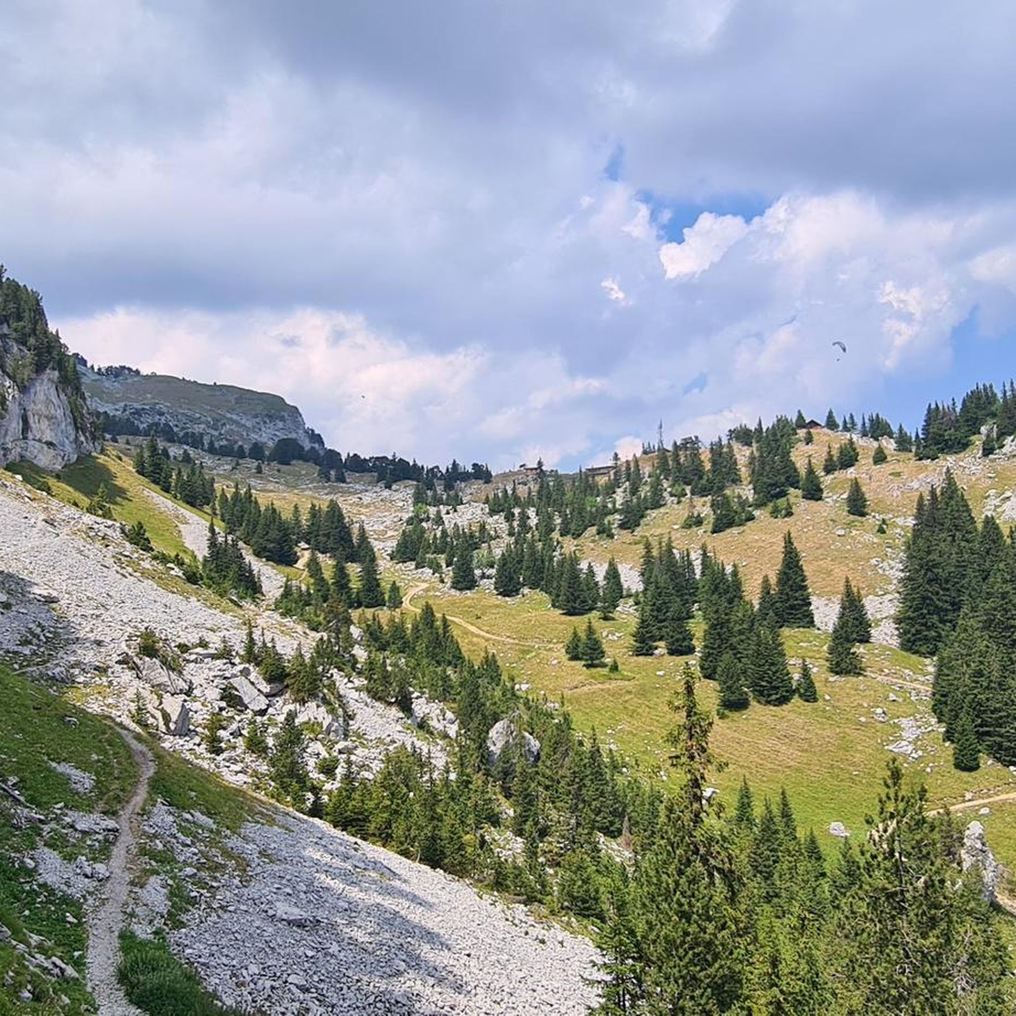
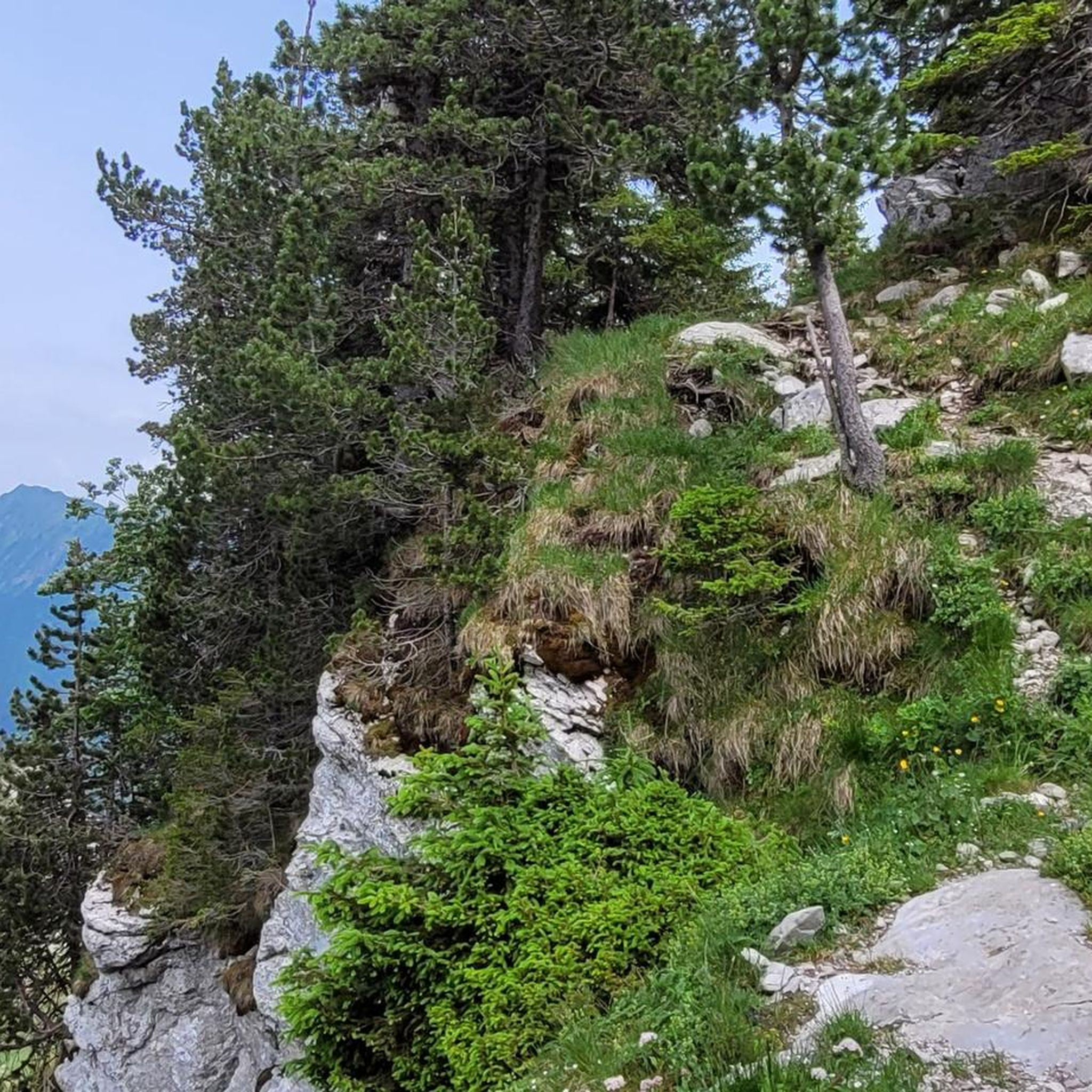
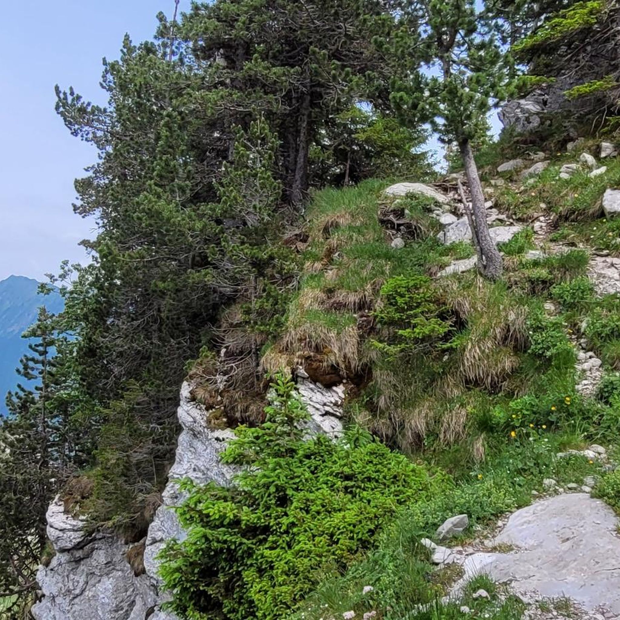
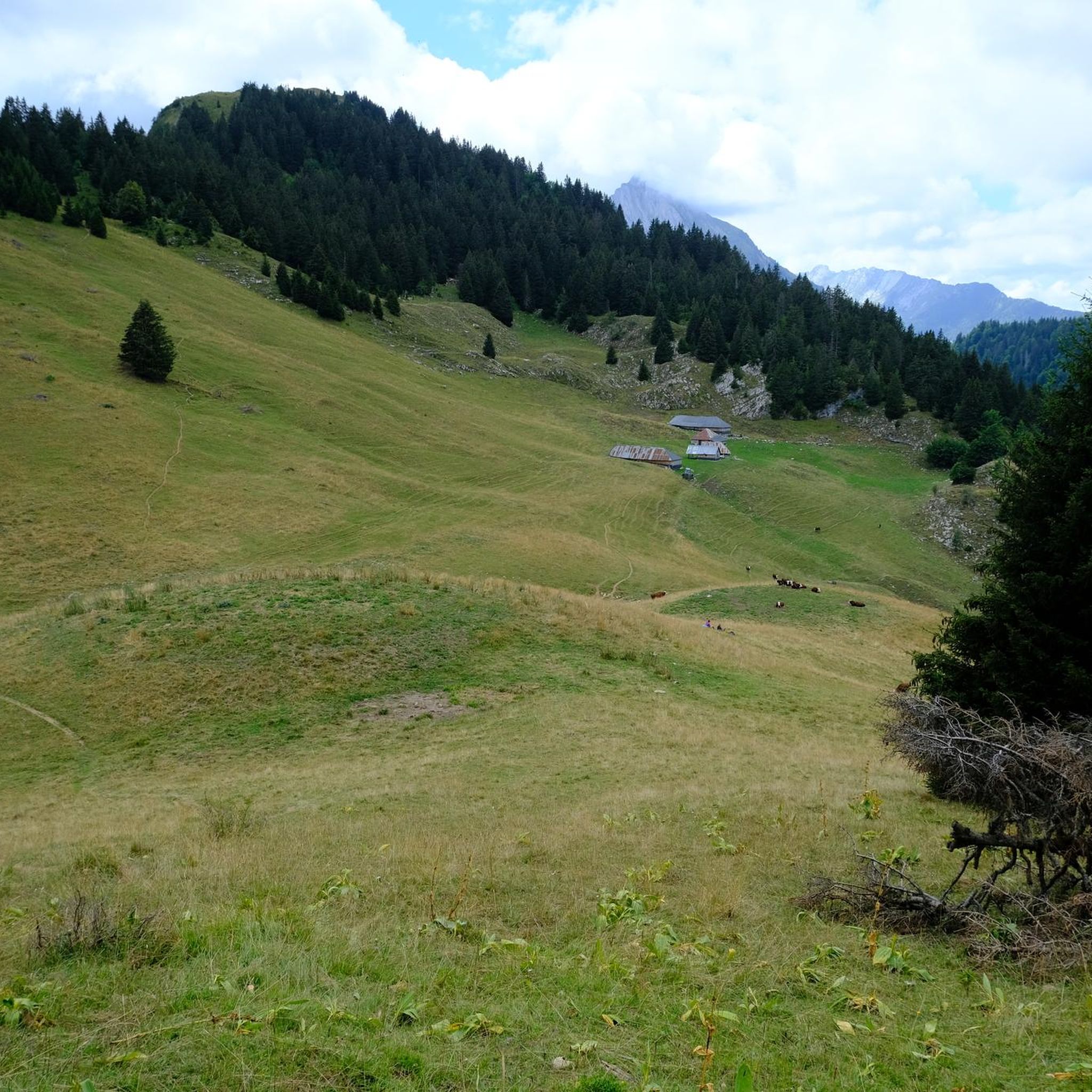


Tips from the Community

Nice gentle climb from Faverges. Several options are available at the top of the pass. Buy the famous Tamié cheese at the Abbaye Notre Dame or head to Ugine via Marthod on pleasant small roads, otherwise join Albertville or Chambéry.
0
0

Very worth seeing all around
0
0
A former fortress. Today it is a leisure center with various activities. You can even drive up by car - there are ample parking spaces. Please check the opening hours in advance. It is not open every day.
0
0

Opposite the abbey church is a drinking water fountain.
0
0

The Perillet Cross. View of Albertville, the Bauges, La Lauzière and of course Mont Blanc
0
0

Amazing views on mount blanc, lac d’ annecy and more beautiful landscape! 😍 Attention, only take the path across the ridge to the chalet de L’Alpettaz if you are a really experienced hiker and like to get some adrenaline. It is super narrow and partly really dangerous. After finishing the dangerous part there is high grass through which the hike continues.
1
0

A hill with a lot of traffic, better on roads that run parallel.
0
0

A first stage offering a very beautiful view of Albertville and the surrounding massifs in the ascent of Belle Étoile, which is only 800m away.
0
0
Frequently Asked Questions
How many hiking trails are available around Verrens-Arvey?
There are over 230 hiking routes in the Verrens-Arvey area, offering a wide range of experiences from easy strolls to challenging mountain ascents. The komoot community has explored these trails over 7,500 times.
Are there easy hiking trails suitable for beginners in Verrens-Arvey?
Yes, Verrens-Arvey offers around 50 easy hiking routes, perfect for beginners or those looking for a relaxed walk. These trails typically feature less elevation gain and shorter distances, allowing for a pleasant introduction to the region's natural beauty.
Are there family-friendly hiking options in Verrens-Arvey?
Many of the moderate trails around Verrens-Arvey are suitable for families, especially those with features like waterfalls or historical sites. For example, the Waterfall of the Massif des Bauges loop from Plancherine is a moderate 4.8-mile (7.7 km) path that includes diverse terrain and a waterfall, making it an engaging option for families.
Can I find circular hiking routes in Verrens-Arvey?
Yes, many of the trails in Verrens-Arvey are designed as loops, allowing you to start and end at the same point. A popular circular route is the Tamié Pass – Fort de Tamié loop from Verrens-Arvey, which covers 8.6 miles (13.8 km) and takes you through historical sites and offers panoramic views.
What are some notable viewpoints or landmarks to see while hiking in Verrens-Arvey?
The region is rich in natural and historical landmarks. You can explore mountain passes like Tamié Pass, or discover peaks such as La Belle-Étoile and Petite Sambuy. The Les Épées de Pralognan Parking – The Beautiful Star loop from Plancherine offers steady climbs and scenic views, including the peak of La Belle-Étoile.
What is the best time of year to hike in Verrens-Arvey?
The best time for hiking in Verrens-Arvey is generally from late spring to early autumn (May to October) when the weather is mild and trails are clear of snow. During these months, you'll experience lush landscapes and comfortable temperatures for exploring the varied terrain of the French Alps.
Are there any challenging hikes for experienced trekkers?
Yes, Verrens-Arvey offers several difficult routes for experienced hikers. For instance, the Les Hauts du Four – Chaurionde Peak loop from Plancherine is a demanding 8.6-mile (13.8 km) trail with significant elevation gain, leading to Chaurionde Peak.
What do other hikers enjoy most about hiking in Verrens-Arvey?
The area is highly rated by the komoot community, with an average score of 4.5 stars from over 580 reviews. Reviewers often praise the diverse terrain, the stunning views of the surrounding massifs, and the well-maintained paths that cater to various skill levels.
Are there any hikes that feature waterfalls in the Verrens-Arvey area?
Yes, you can find hikes that lead to beautiful waterfalls. The Waterfall of the Massif des Bauges loop from Plancherine is a popular moderate route that specifically highlights a waterfall, offering a refreshing natural attraction along the path.
What kind of terrain can I expect on hikes around Verrens-Arvey?
Hiking around Verrens-Arvey involves varied terrain characteristic of the French Alps. You can expect routes that traverse forests, open landscapes, and mountain passes, often with significant elevation changes. This includes both moderate ascents and descents, providing a diverse and engaging hiking experience.
Are there options for longer, more strenuous day hikes?
For those seeking longer and more strenuous day hikes, Verrens-Arvey has several options. The Tamié Pass – Chaurionde Peak loop from Plancherine is a challenging 10.6-mile (17.1 km) route with substantial elevation gain, offering a full day of trekking through the mountainous landscape.
Most popular routes around Verrens-Arvey
Most popular attractions around Verrens-Arvey

Get inspired with the komoot mobile app


Explore more
Browse the best Hikes in other regions.
