Saint-Rémy-De-Maurienne
Saint-Rémy-De-Maurienne
Top 14 Mountain Passes around Saint-Rémy-De-Maurienne
Best mountain passes around Saint-Rémy-De-Maurienne are found in the Maurienne Valley, a region in the French Alps. This area serves as a gateway to numerous mountain passes known for their challenging ascents and historical significance. The landscape is characterized by rugged mountain terrain, offering diverse routes for outdoor activities.
Best mountain passes around Saint-Rémy-De-Maurienne
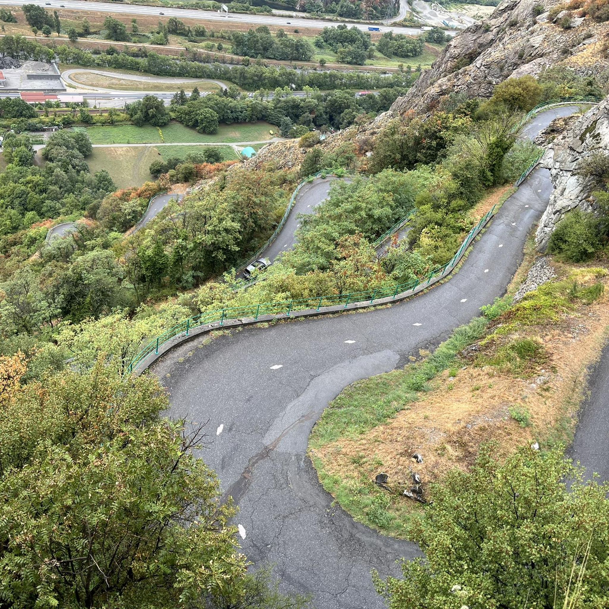
- The most popular mountain pass is Col du Chaussy, a mountain pass that connects Pontamafrey with the south ramp of the Col de la Madeleine.…
Last updated: July 10, 2026
Col du Chaussy
Highlight • Mountain Pass
Translated by Google •
Tip by

Col de Chaussy
Highlight • Mountain Pass
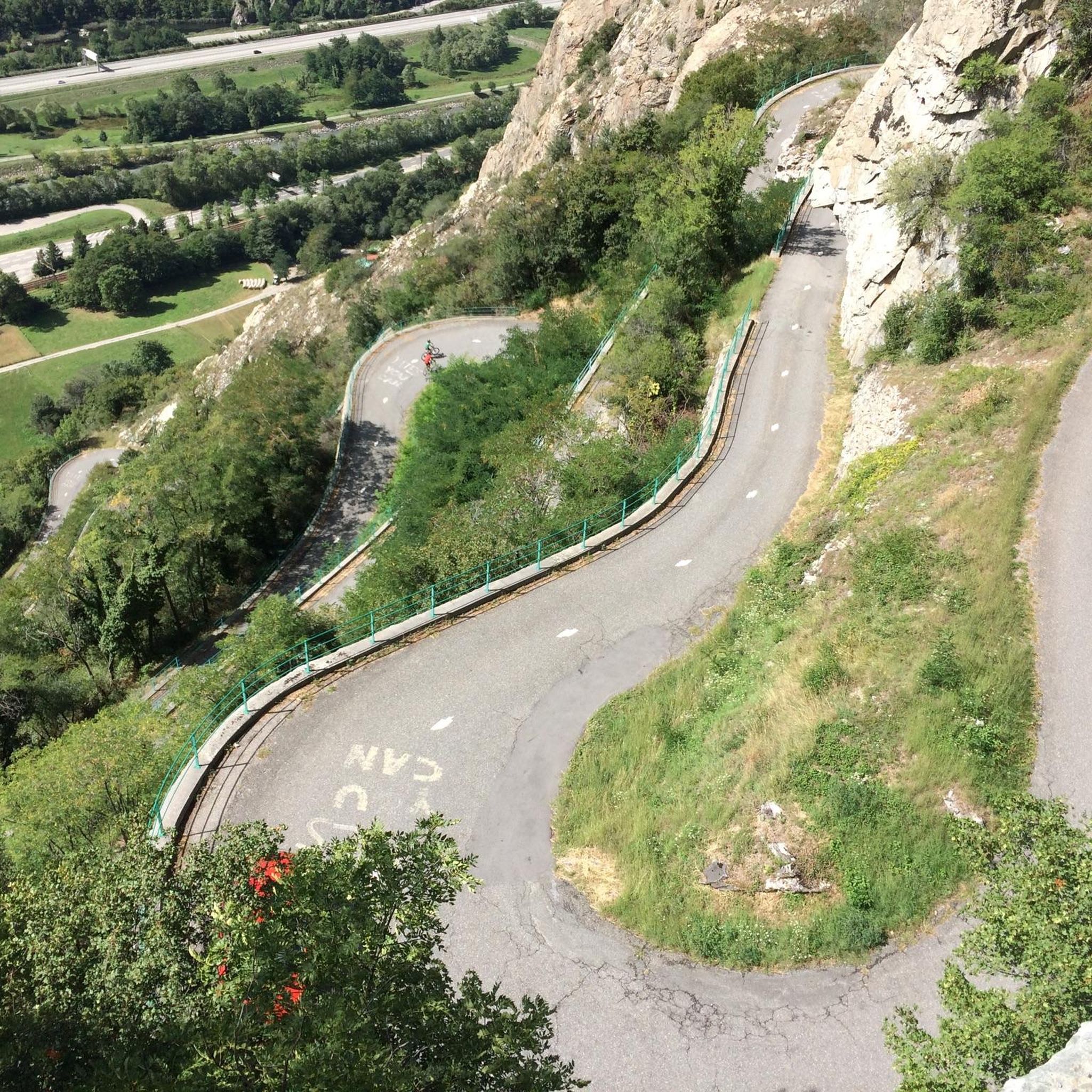
If you ride the shoelace, you'll also get over the pass; it's a nice ride.
Translated by Google •
Tip by

Sign up now to discover places like this
Get recommendations on the best single tracks, peaks, & plenty of other exciting outdoor places.
Sign up for free
Col du Grand Cucheron
Highlight (Segment) • Mountain Pass
Translated by Google •
Tip by

Col de la Madeleine
Highlight • Mountain Pass
Translated by Google •
Tip by
Ascent of Col de la Madeleine from La Chambre
Highlight (Segment) • Climb
Translated by Google •
Tip by

Sign up for free to discover even more mountain passes around Saint-Rémy-De-Maurienne.
Sign up for free
Already have an account?
Start today with a free account
Your next adventure awaits.
Login or Signup

Tips from the Community

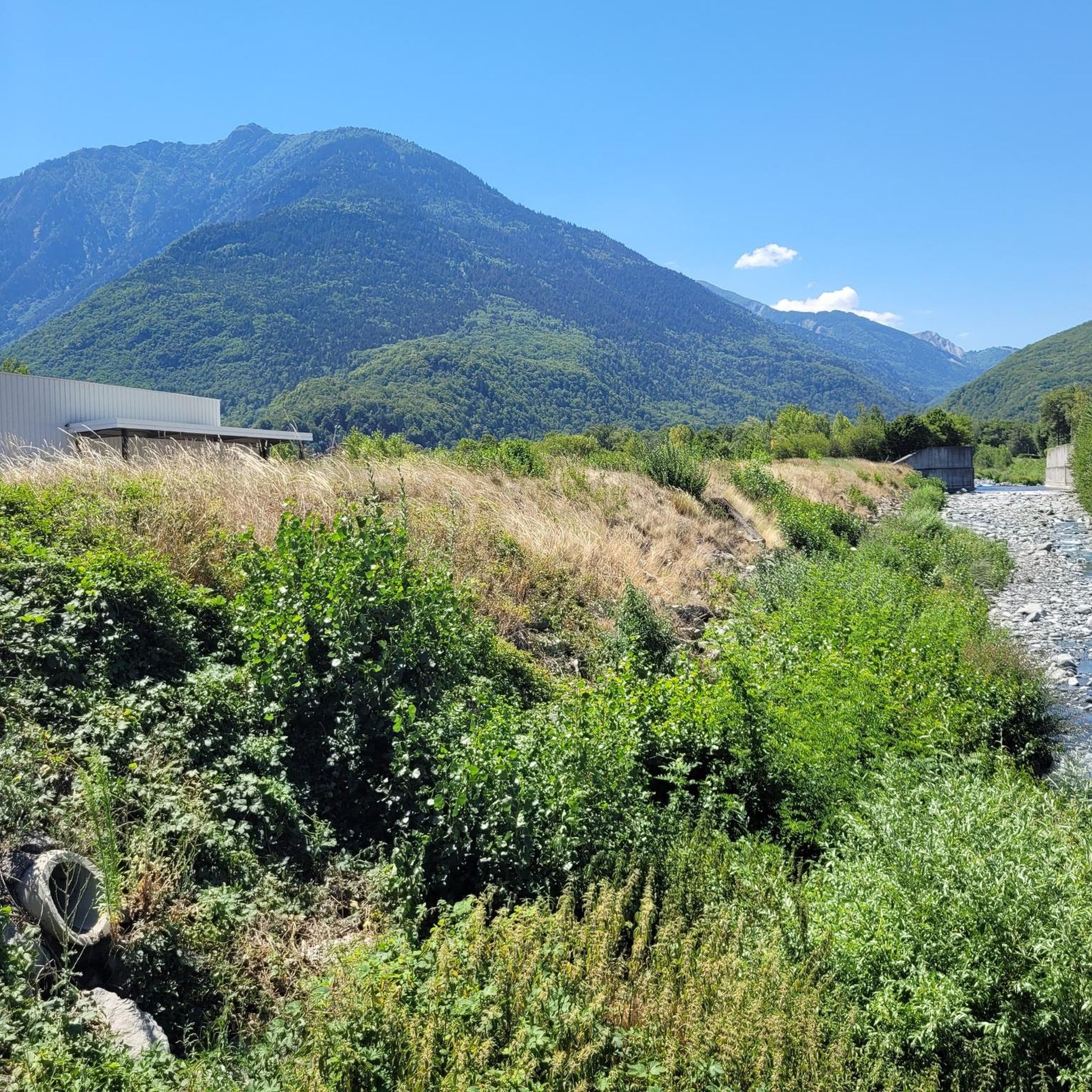
Narrow road, great views. Relatively little traffic.
2
0
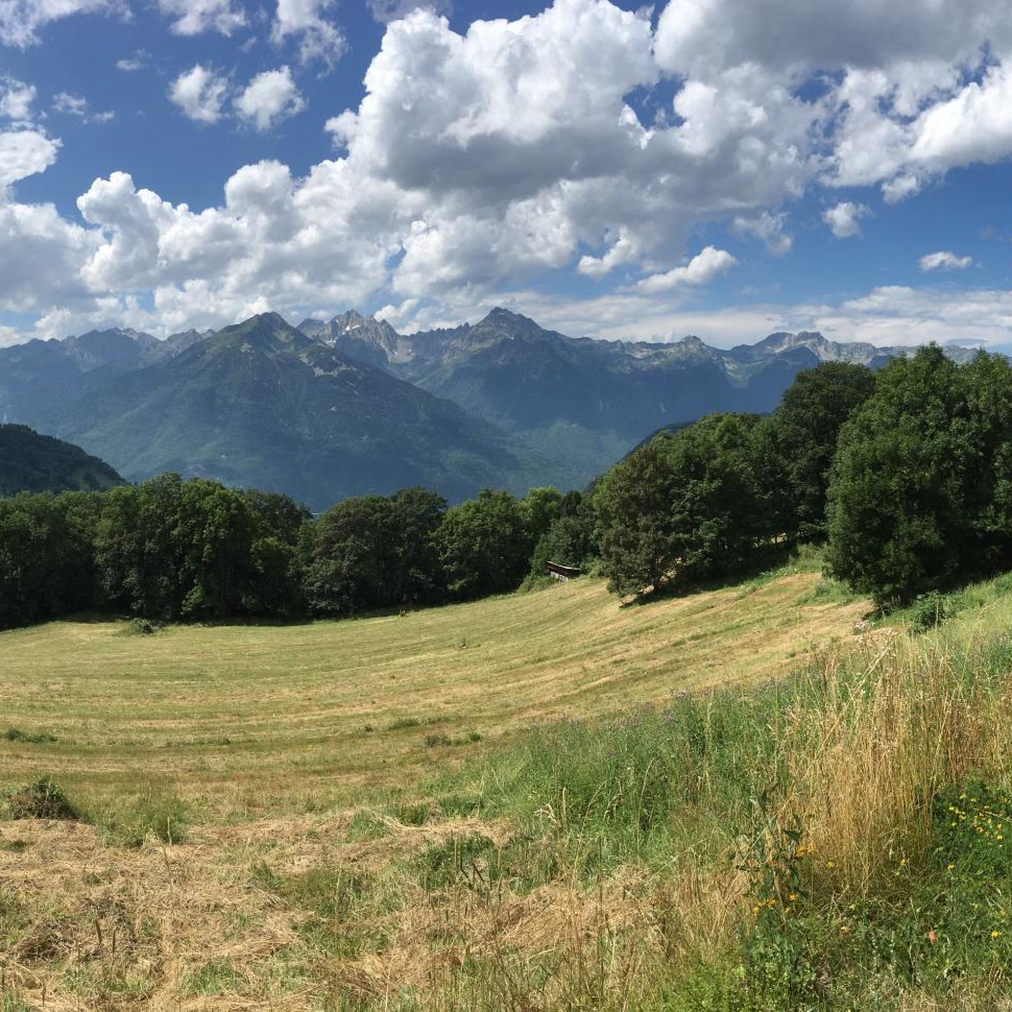
Orderly ascent, nice pass with chapel and bar/restaurant. Some water points, but not many.
1
0


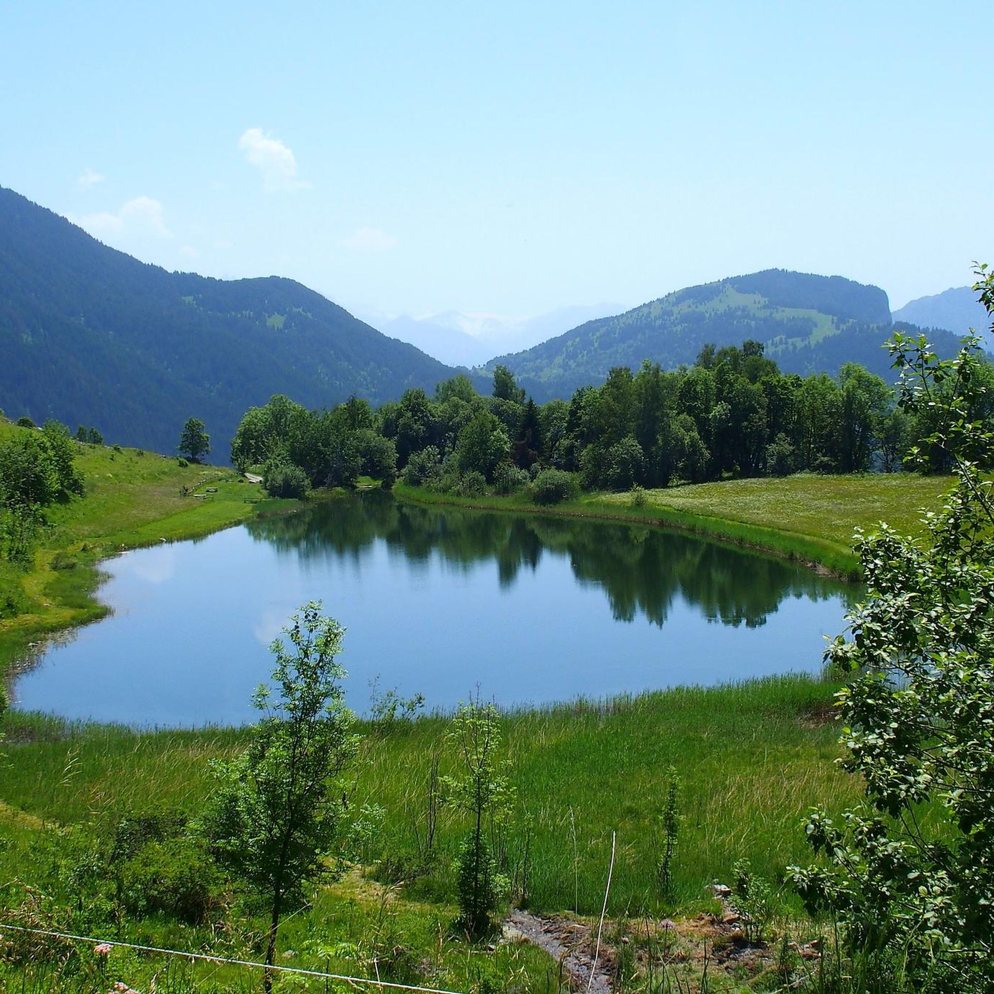
Away from car traffic, a bucolic pass in the middle of mountain pastures.
2
0

A beautiful port, ideal to combine with Col de la Madeleine and Col de la Croix-de-Fer
0
0
This is the classic southern slope of the pass, which begins at La Chambre. With a vertical drop of 1,591 m, a length of 19.3 km, and an average gradient of 7.9%, it's a colossus. The initial section has many hairpin bends and is covered with trees and vegetation. The intermediate section is probably the toughest. From the Saint François Longchamp ski resort, where there is a gentler section, there are a beautiful 5 km of completely open terrain where you can see the entire final section. Descending this pass is a delight because you build up speed and it also has all kinds of curves.
0
0
On its southeast side, from Epierre, it is a beautiful port. The vast majority is covered by trees, which do not allow great views of the valley; However, the road is very winding, with continuous curves that make it very bearable. It is an area to enjoy cycling since there is hardly any traffic.
0
0

The Col de la Madeleine connects the Tarantaise and Maurienne valleys. It is part of the family of exceptional passes with more than 1,500 meters of vertical drop on each of its sides.
1
0
Frequently Asked Questions
What are some popular mountain passes around Saint-Rémy-De-Maurienne?
The region offers several highly regarded mountain passes. Among them, Col du Chaussy is a popular choice, known for connecting Pontamafrey with the south ramp of the Col de la Madeleine via the Montvernier serpentine road. Another favorite is Col du Grand Cucheron, offering a steady climb with scenic views. The legendary Col du Galibier, though further afield, is also a major draw for its iconic status and panoramic views.
Which mountain passes are particularly famous for cycling in the Maurienne Valley?
The Maurienne Valley is a cyclist's paradise. The Col du Galibier is legendary, frequently featured in the Tour de France as a 'Queen Stage.' The Col du Télégraphe often serves as its challenging prelude. Other iconic climbs include the Col de la Croix de Fer and the Col de la Madeleine, both regular features in professional cycling races, offering demanding ascents and rewarding views. You can find challenging cycling routes in the area, such as those detailed in the Road Cycling Routes around Saint-Rémy-De-Maurienne guide.
Are there any historically significant mountain passes in the area?
Yes, several passes hold significant historical value. The Col du Galibier, first appearing in the Tour de France in 1911, was built in the late 19th century to connect valleys. The Col du Télégraphe is named after a Chappe telegraph tower from 1807 and has a nearby 19th-century fort. Further afield, the Col du Mont Cenis, on the French-Italian border, historically served as a crucial Alpine passageway.
What are some challenging cycling routes involving these passes?
For challenging cycling, the ascent of the Col du Galibier from Saint-Michel-de-Maurienne (including the Col du Télégraphe) is a classic, gaining over 2,100 meters. The Col de la Croix de Fer from Saint-Jean-de-Maurienne is another demanding climb with varied terrain. The Col du Glandon, especially from La Chambre, presents a steep challenge often combined with the Croix de Fer. You can explore these and other difficult routes in the Road Cycling Routes around Saint-Rémy-De-Maurienne guide.
Are there any easier mountain passes for cyclists or drivers?
While many passes are challenging, the Col du Télégraphe, when approached from Saint-Michel-de-Maurienne, offers a steady climb often considered a 'warm-up' for the Galibier, with much of it surrounded by forest. The Col du Grand Cucheron also features sections with more moderate gradients, making it a good option for those seeking a less intense experience.
Which passes offer the most panoramic views?
The Col du Galibier is renowned for its exceptional panoramic views of the Écrins massif and surrounding peaks, often with snow at the summit even in summer. The Col de la Croix de Fer provides postcard-perfect Alpine vistas, especially after the Saint Sorlin d'Arves ski station. The Col du Mont Cenis offers a stunning panorama, particularly of the Mont Cenis lake, and the Col de l'Iseran, as Europe's highest paved pass, delivers a majestic high-mountain experience.
Are there any unique natural or man-made features to see on these passes?
Absolutely. The Spectacular Cliffside Road Above Montvernier is a unique man-made feature dug into solid rock, offering impressive views of the valley. The Col du Mont Cenis is notable for its picturesque lake. The Col du Galibier features a historic tunnel, and its rugged, grey mountain landscape is a natural spectacle in itself.
What hiking opportunities are available near the mountain passes?
The region around Saint-Rémy-De-Maurienne offers diverse hiking opportunities. You can find routes like the 'Arbarétan Pass – Frog Lake loop' or the 'Pointe de la Frèche – Col du Fort loop.' For a comprehensive list of trails, including easy, moderate, and difficult options, refer to the Hiking around Saint-Rémy-De-Maurienne guide.
Can I find mountain biking trails around Saint-Rémy-De-Maurienne's passes?
Yes, there are several mountain biking trails in the vicinity of the passes. Routes such as the 'Madeleine Pass loop' and the 'Lacets de Montvernier – Medieval Tower of Châtel loop' offer varied terrain for MTB enthusiasts. For more details on difficulty and distances, check the MTB Trails around Saint-Rémy-De-Maurienne guide.
What is the best time to visit these mountain passes?
Most of the high mountain passes, such as the Col du Galibier and Col de l'Iseran, are generally open from June to early October, depending on snow conditions. The Col de l'Iseran is often one of the last passes in Savoie to be cleared and reopened. Visiting during the summer months (June-September) ensures the best access and weather for cycling and hiking, though some lower passes might be accessible earlier or later.
Are there any family-friendly mountain walks near Saint-Rémy-De-Maurienne?
While many passes are challenging, you can find more accessible walks in the broader region. For example, the 'Blue Lake ... loop from Saint-Rémy-de-Maurienne' is an easy hiking option. When planning family outings, it's best to check the difficulty grades and terrain descriptions in the Hiking around Saint-Rémy-De-Maurienne guide to find suitable routes.
What do visitors enjoy most about the mountain passes in this region?
Visitors frequently highlight the challenging climbs and the rewarding panoramic views. The historical significance, especially for cycling enthusiasts, adds to the appeal. Many appreciate the quiet roads off the main routes, like those leading to Col du Chaussy, and the unique features such as the Spectacular Cliffside Road Above Montvernier. The sense of accomplishment after conquering a major pass like the Col de la Madeleine is also a common sentiment.
Most popular routes around Saint-Rémy-De-Maurienne
Most popular attractions around Saint-Rémy-De-Maurienne

Get inspired with the komoot mobile app


Explore more
See even more epic mountain passes by checking out these guides around Saint-Rémy-De-Maurienne:
