The best walks and hikes around Saint-Rémy-De-Maurienne
4.6
(621)
6,314
hikers
211
hikes
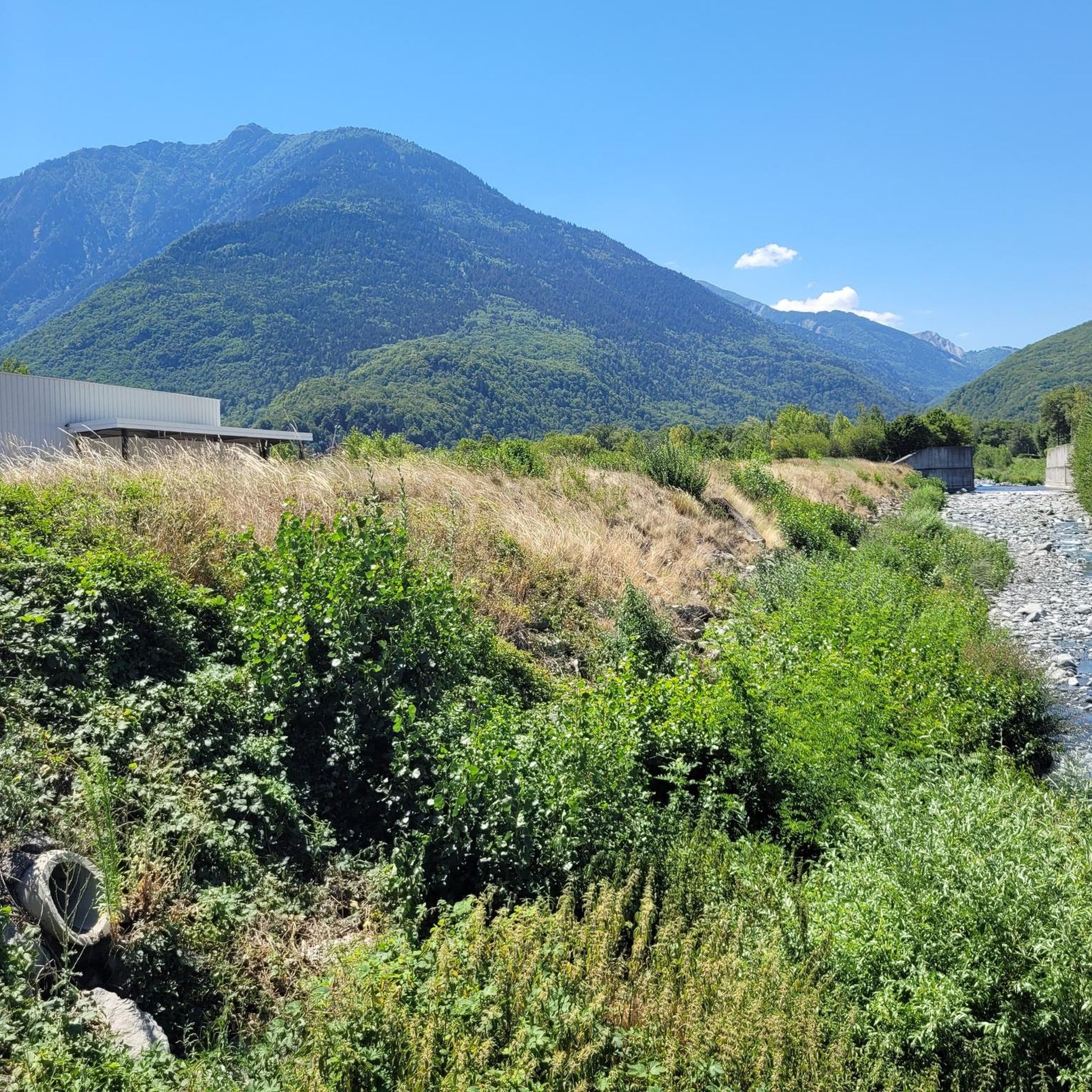
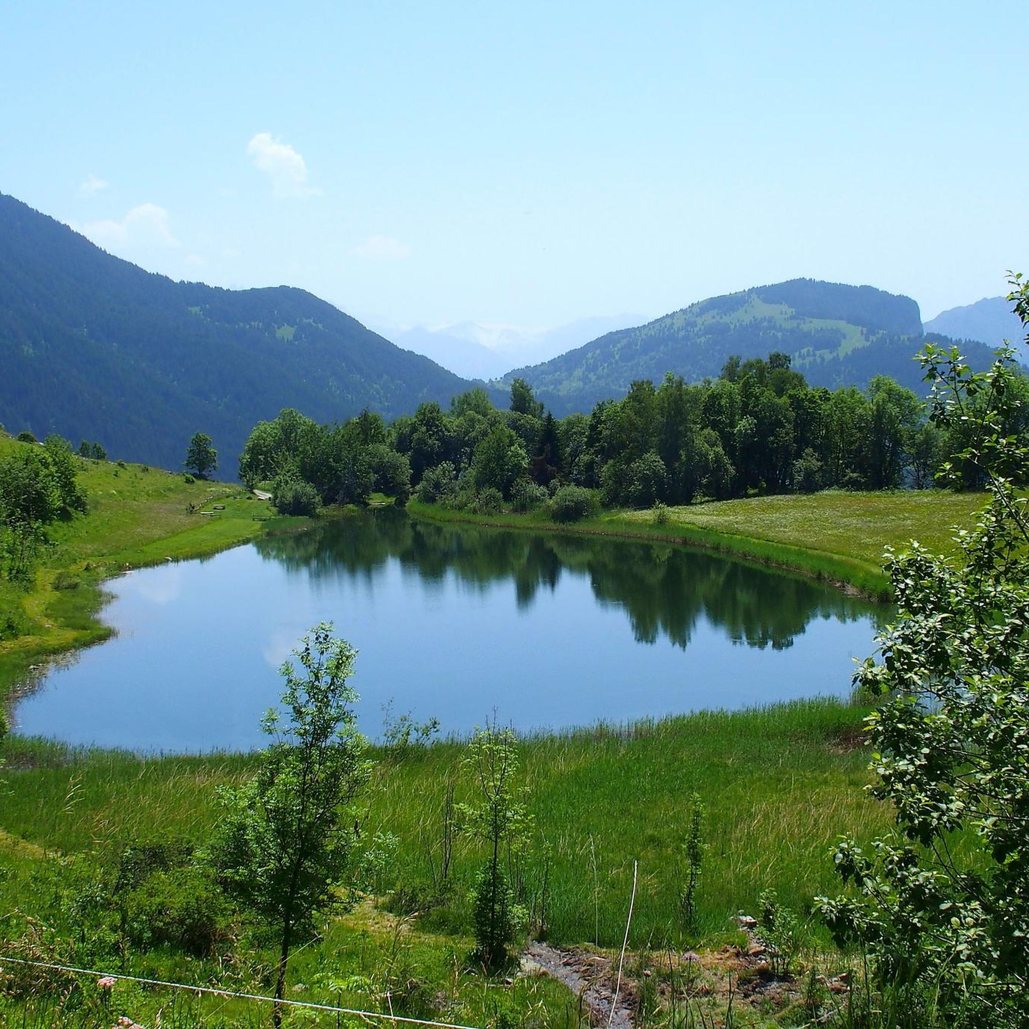
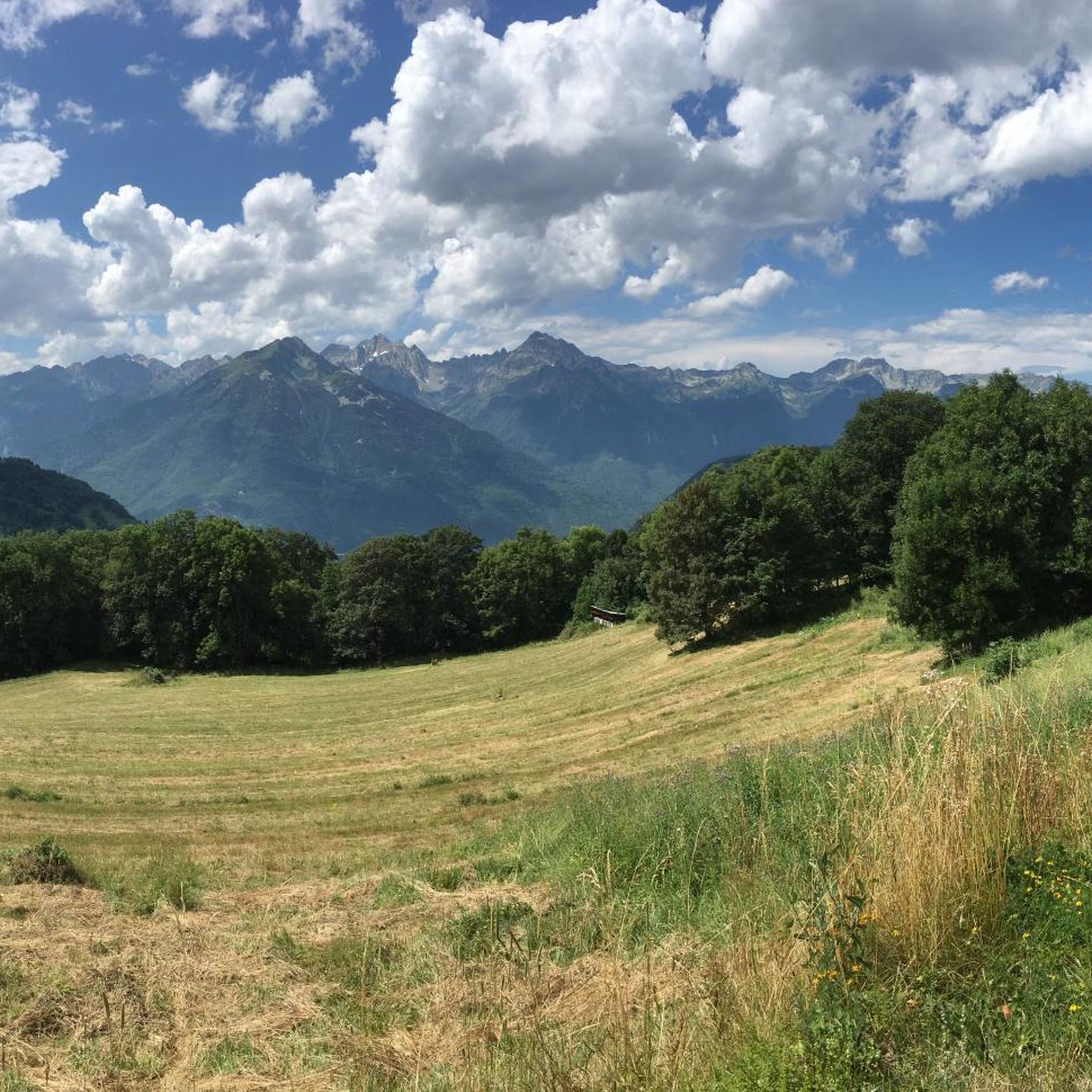
Hiking around Saint-Rémy-De-Maurienne offers diverse landscapes within the Savoie region of France, situated in the foothills of the Belledonne chain. The terrain features mountainous areas with peaks, wild valleys, and numerous forest trails. Hikers can explore several lakes and mountain passes, providing varied environments for outdoor activity.
Best hiking trails around Saint-Rémy-De-Maurienne
- The most popular hiking route is Arbarétan Pass – Frog Lake loop from Col d'Arbarétan, a 4.4 miles (7.1 km) trail that takes 2 hours 41 minutes…
Last updated: July 9, 2026
4.2
(9)
90
hikers
7.08km
02:41
350m
350m
Moderate hike. Good fitness required. Mostly accessible paths. Sure-footedness required.
9
hikers
10.4km
05:47
1,040m
1,040m
Hard hike. Very good fitness required. Mostly accessible paths. Sure-footedness required.

Sign up for free
15
hikers
5.40km
01:23
20m
20m
Easy hike. Great for any fitness level. Easily-accessible paths. Suitable for all skill levels.
5.0
(1)
8
hikers
17.0km
06:39
1,210m
1,210m
Hard hike. Very good fitness required. Easily-accessible paths. Suitable for all skill levels.
10
hikers
11.5km
02:57
60m
60m
Moderate hike. Good fitness required. Easily-accessible paths. Suitable for all skill levels.
Get access to more routes and recommendations from other explorers.
Sign up for free
Already have an account?
Our route recommendations are based on thousands of hikes, rides, and runs completed by other people on komoot.
Start today with a free account
Your next adventure awaits.
Login or Signup

Tips from the Community

Church worth seeing.
2
0

I don't know if the route from the bottom is free again but access, by road, is easy.
0
0

Very beautiful chapel with the largest coat of arms in Savoy
0
0
Small pump track good for children
1
0
Frequently Asked Questions
How many hiking trails are available around Saint-Rémy-De-Maurienne?
There are over 180 hiking routes in the Saint-Rémy-De-Maurienne area, catering to various skill levels. You'll find everything from easy strolls to challenging mountain ascents within the diverse landscapes of the Belledonne chain.
Are there easy or family-friendly hiking options in Saint-Rémy-De-Maurienne?
Yes, Saint-Rémy-De-Maurienne offers a good selection of easy trails suitable for families and beginners. There are 41 easy routes, including the Blue Lake ... loop from Saint-Rémy-de-Maurienne, which is a relatively short and accessible option.
What kind of landscapes can I expect to see on hikes in this region?
The region is characterized by stunning mountainous terrain, with impressive peaks like the Grands-Moulins and Tête de la Perrière. You'll also discover wild valleys, dense forests, and several lakes, including natural gems like Frog Lake and Lac de la Grande Léchère. Many routes also cross scenic mountain passes offering panoramic views.
What are some notable natural features or landmarks to look out for on the trails?
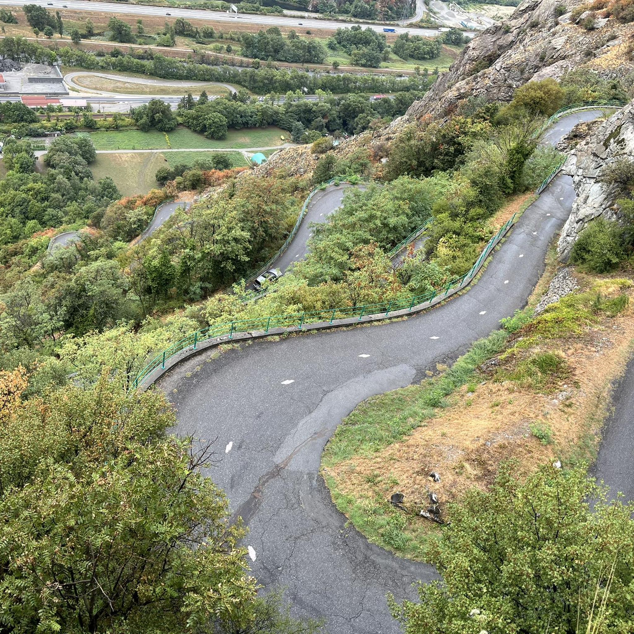
Hikers can explore various natural features such as Frog Lake and Lac de la Grande Léchère. The area is also rich in mountain passes like Col d'Arbarétan and Col de la Perche. Further afield, you might encounter impressive man-made features like the Montvernier Hairpins or the Spectacular Cliffside Road Above Montvernier, which are popular with cyclists but offer great views.
What is the best time of year for hiking in Saint-Rémy-De-Maurienne?
The region offers outdoor activities year-round. For hiking, late spring through early autumn (May to October) generally provides the most favorable conditions, with accessible trails and pleasant weather. Higher altitude routes might still have snow earlier in the season. Autumn brings beautiful foliage, while winter offers opportunities for snowshoeing, though conditions can be challenging.
Are there any circular hiking routes available?
Yes, many routes in Saint-Rémy-De-Maurienne are designed as loops. A popular example is the Arbarétan Pass – Frog Lake loop from Col d'Arbarétan, which is a moderate trail exploring a mountain pass and a natural lake.
Can I bring my dog on the hiking trails?
While many trails in the region are generally accessible for dogs, it's always best to check specific regulations for individual routes, especially if they pass through protected areas or private land. Always keep your dog under control, on a leash where required, and clean up after them to preserve the natural environment.
What are the typical durations for hikes in the area?
Hike durations vary significantly depending on the route's length and difficulty. Easy strolls might take just over an hour, like the Blue Lake ... loop at around 1 hour 23 minutes. More challenging routes, such as the Pointe de la Frèche – Col du Fort loop, can take over 5 hours.
What do other hikers say about the trails in Saint-Rémy-De-Maurienne?
The hiking trails in Saint-Rémy-De-Maurienne are highly regarded by the komoot community, holding an average rating of 4.6 stars from over 600 reviews. More than 6,000 hikers have used komoot to explore the varied terrain, often praising the stunning Alpine scenery and the diversity of routes available.
Are there any challenging hikes for experienced hikers?
Absolutely. For experienced hikers, there are 47 difficult routes that demand good physical condition and sure-footedness. An example is the Pointe de la Frèche – Col du Fort loop from Place de Varrat, which involves significant elevation gain and offers extensive views from higher altitudes.
Is it possible to reach trailheads using public transport?
While Saint-Rémy-De-Maurienne is well-connected, direct public transport to all trailheads can be limited, especially for more remote mountain routes. It's advisable to check local bus schedules or consider carpooling for access to specific starting points. For general information about the area, you can visit tourisme-la-chambre.com.
What kind of gear should I bring for hiking in Saint-Rémy-De-Maurienne?
Given the diverse terrain and varying altitudes, sturdy footwear is essential. For moderate to difficult trails, hiking boots with good ankle support are recommended. Layers of clothing are advisable due to changing mountain weather, along with rain gear, sufficient water, snacks, and sun protection. For higher or more challenging routes, consider trekking poles and navigation tools.
Most popular routes around Saint-Rémy-De-Maurienne
Most popular attractions around Saint-Rémy-De-Maurienne

Get inspired with the komoot mobile app


Explore more
Browse the best Hikes in other regions.
