The best road cycling routes around Saint-Chef
4.4
(343)
4,901
riders
482
rides
Road cycling routes around Saint-Chef traverse the diverse landscapes of the Isère department in France. The terrain features rolling hills, expansive meadows, and areas of undergrowth, providing varied cycling experiences. Cyclists can expect views of traditional adobe houses and small vineyards. The region also offers distant panoramas of the Alps and the Chartreuse, Belledonne, and Vercors massifs.
Best road cycling routes around Saint-Chef
- The most popular road cycling route is Château Delphinal of Crémieu – Chateau de Chapeau Cornu loop from Vignieu, a 41.7 miles (67.2 km) trail that takes 2 hours 50 minutes to complete. This moderate route connects historic castles and offers varied scenery.
- Another top favourite among local road cyclists is La Tuille Pond – Chateau de Chapeau Cornu loop from Saint-Chef, a moderate 35.7 miles (57.4 km) path. This route passes by a pond and another historic château, offering a mix of natural and architectural sights.
- Local road cyclists also love the Pond – View of the Chartreuse loop from Vénérieu, a 33.5 miles (54.0 km) trail leading through varied terrain with views of the Chartreuse massif, often completed in about 2 hours 20 minutes.
- Road cycling around Saint-Chef is defined by rolling hills, meadows, and distant Alpine panoramas. The network offers options for easy, moderate, and difficult routes, catering to different ability levels.
- The routes in Saint-Chef are highly rated by the komoot community with an average score of 4.3 stars from over 300 reviews. More than 4000 road cyclists have used komoot to explore Saint-Chef's varied terrain.
Last updated: July 4, 2026
5.0
(3)
24
riders
63.6km
02:37
380m
380m
Moderate road ride. Good fitness required. Some segments of this route may be unpaved and difficult to ride.
9
riders
23.4km
01:14
340m
340m
Moderate road ride. Good fitness required. Mostly well-paved surfaces and easy to ride.

Sign up for free
8
riders
31.5km
01:37
510m
510m
Moderate road ride. Good fitness required. Mostly well-paved surfaces and easy to ride.
4.0
(2)
5
riders
53.6km
02:18
340m
340m
Moderate road ride. Good fitness required. Mostly well-paved surfaces and easy to ride.
5
riders
42.0km
02:17
580m
570m
Moderate road ride. Good fitness required. Mostly well-paved surfaces and easy to ride.
Get access to more routes and recommendations from other explorers.
Sign up for free
Already have an account?
Our route recommendations are based on thousands of hikes, rides, and runs completed by other people on komoot.
Start today with a free account
Your next adventure awaits.
Login or Signup
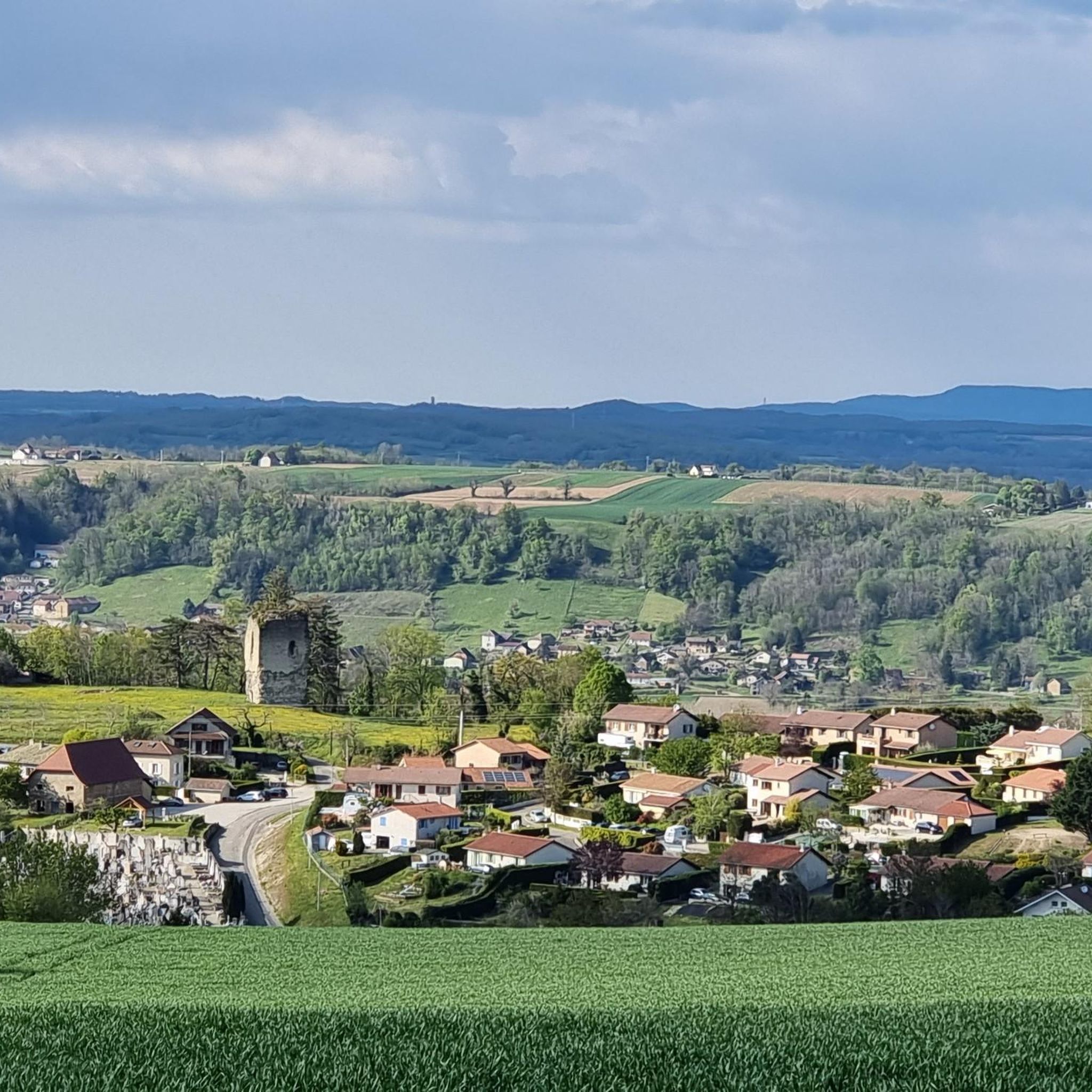

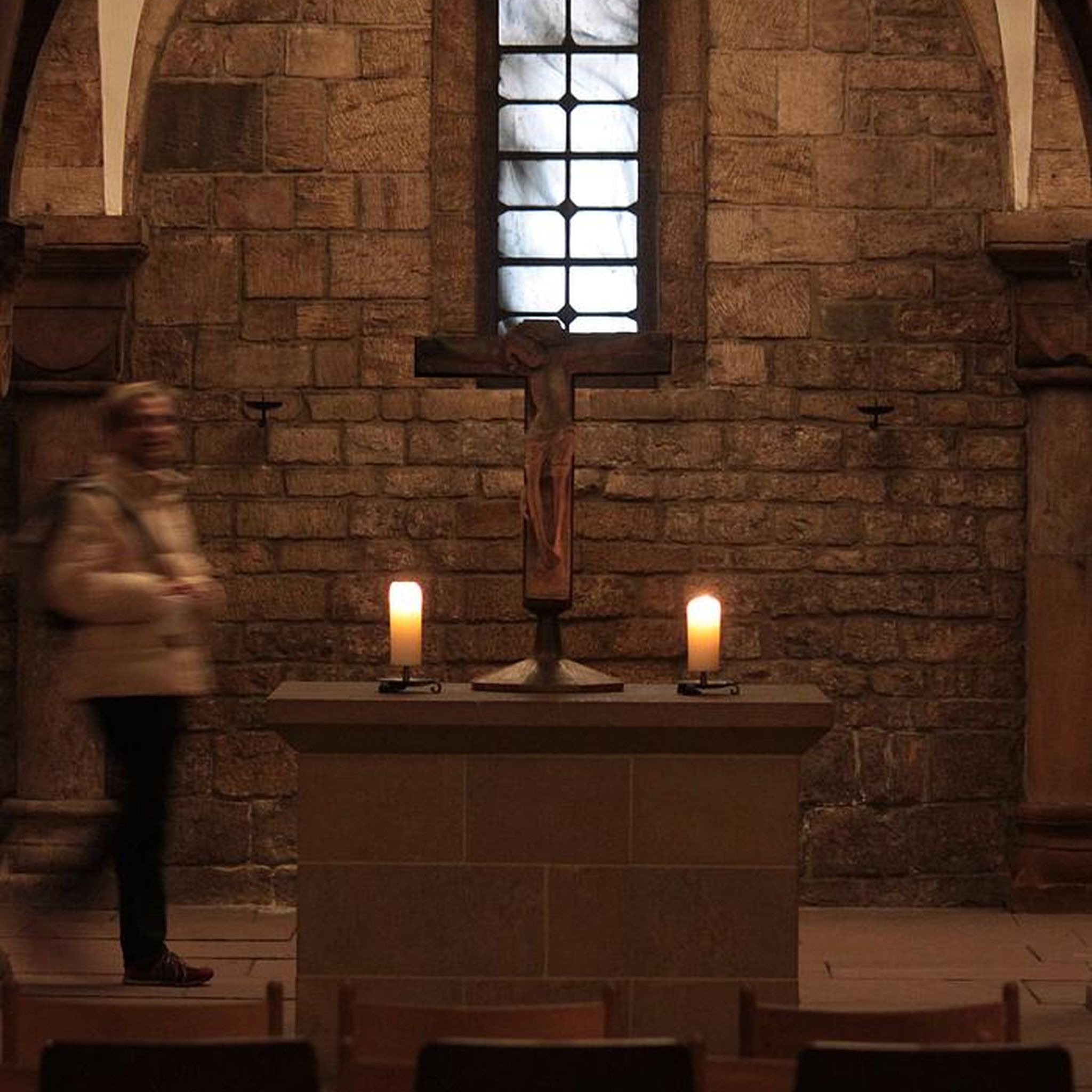
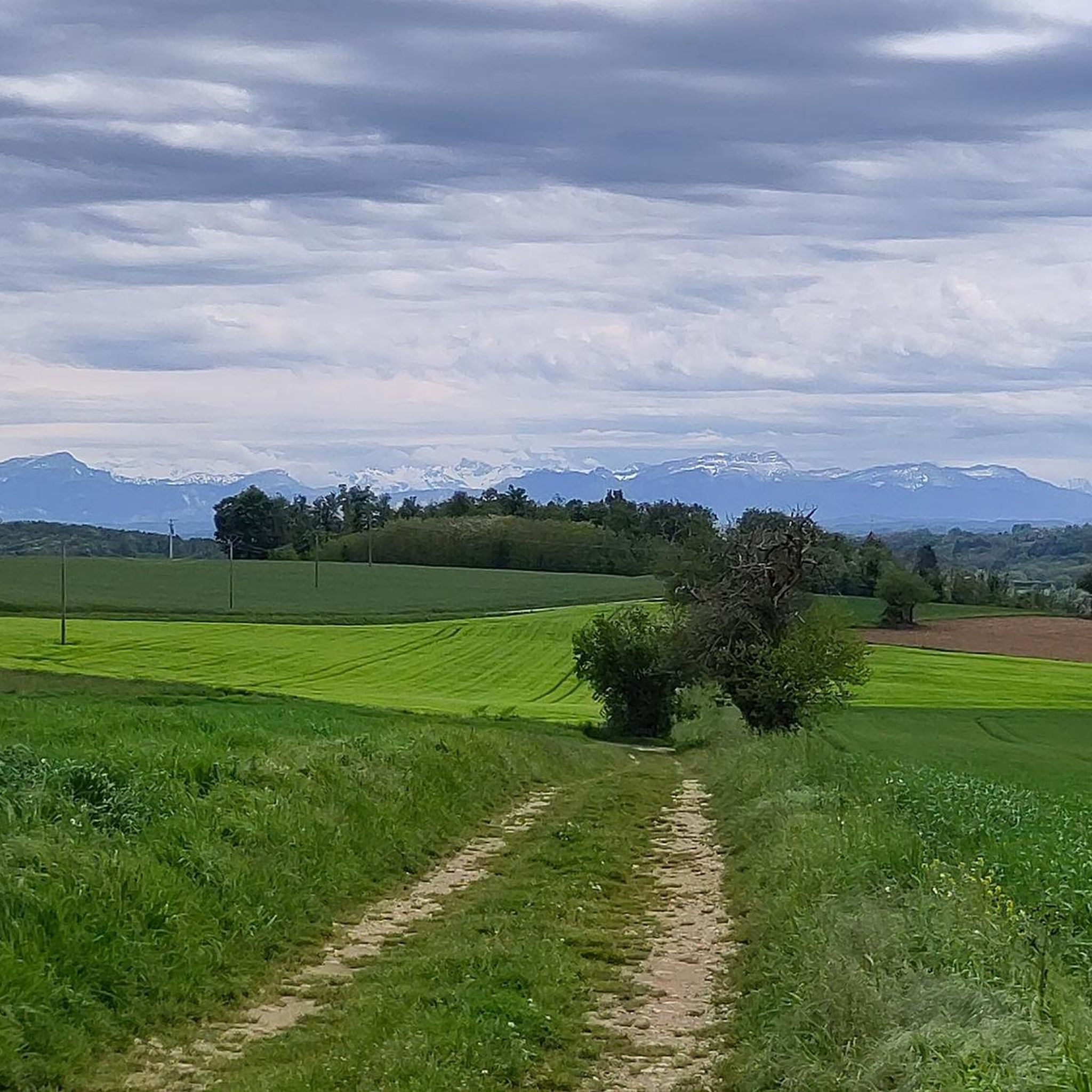

Tips from the Community

Found somewhat by chance and at a very affordable price, this hotel restaurant is a superb stopover for a bike ride!
0
0


Beautiful little town, quite touristy, but worth the detour
0
0

The Rondeau-Chamont mill of conviviality
0
0
Magnificent hikes without being isolated, with varied landscapes and beautiful mountain views, no elevation changes, and plenty of wildlife along the way. Top!
1
0

Good climb which starts from the commercial area and crosses the village center of Saint-Jean-de-Soudain.
0
0
Frequently Asked Questions
What kind of terrain can I expect when road cycling around Saint-Chef?
The terrain around Saint-Chef is characterized by diverse landscapes, including rolling hills, expansive meadows, and areas of undergrowth. You'll encounter well-paved surfaces, winding roads, and views of traditional adobe houses and small vineyards. Distant panoramas of the majestic Alps and the Chartreuse, Belledonne, and Vercors massifs are also common.
Are there road cycling routes suitable for beginners or those looking for an easier ride?
Yes, Saint-Chef offers a variety of routes catering to different fitness levels. While many routes are moderate, there are 47 easy routes available. For example, the Clear Lake – Demptézieu Castle loop from Montcarra is a moderate route that covers 23.4 km with a manageable elevation gain, offering a good option for those seeking a less strenuous ride.
What are some notable landmarks or attractions I can see along the road cycling routes in Saint-Chef?
Many routes pass by historical and natural points of interest. You might cycle past the Chateau de Chapeau Cornu, or the Étang de la Rosière. The medieval town of Crémieu, with its own historical charm, is also accessible via some routes. The region itself is rich in heritage, including the Abbey Church of Saint-Chef with its 12th-century Romanesque frescoes.
Are there any long-distance or multi-day road cycling options near Saint-Chef?
Beyond the local routes, Saint-Chef's location in the Isère department provides access to more extensive cycling networks. You can connect to sections of "La Belle Via," a major cycling route traversing mountain waterways with Alpine panoramas. Another option is the "Grand Tour des Balcons du Dauphiné," a 75 km loop accessible from nearby Crémieu, featuring low elevation gain on greenways and agricultural roads. More information on La Belle Via can be found here and here.
What is the best time of year for road cycling in Saint-Chef?
While specific seasonal recommendations aren't provided, the region's diverse landscapes, including meadows and vineyards, suggest that spring and autumn would offer pleasant temperatures and beautiful scenery. Summer can also be enjoyable, though it's always wise to check local weather conditions before heading out.
Are there circular road cycling routes available around Saint-Chef?
Yes, many of the road cycling routes around Saint-Chef are designed as loops, allowing you to start and finish in the same location. Examples include the popular Château Delphinal of Crémieu – Chateau de Chapeau Cornu loop from Vignieu and the Paul Claudel's castles – Pond loop from Salagnon.
What do other road cyclists say about the routes in Saint-Chef?
The road cycling routes in Saint-Chef are highly regarded by the komoot community, holding an average rating of 4.3 stars from over 300 reviews. Cyclists often praise the varied terrain, the scenic views of the Alps, and the charming rural landscapes that make for engaging rides.
Are there any cycling-friendly services or amenities available near Saint-Chef?
While specific services within Saint-Chef itself are not widely advertised, the broader region offers support for cyclists. Rhône Alpes Bikes in Bourgoin-Jallieu, a nearby town, provides bicycle rentals (including road bikes) and repair services. Additionally, the "Accueil Vélo" label along the Balcons du Dauphiné greenway indicates cycling-friendly services and equipment in the vicinity.
Can I find routes that offer scenic viewpoints or natural features?
Absolutely. The routes frequently offer sweeping views of the majestic Alps and pass through tranquil undergrowth and expansive meadows. You can also find routes that lead to serene hidden ponds, such as those in Crucilleux, or offer views of the Chartreuse massif, like the Pond – View of the Chartreuse loop from Vénérieu.
What is the typical elevation gain on road cycling routes around Saint-Chef?
The elevation gain on routes around Saint-Chef varies depending on the specific trail and its difficulty. Documented routes typically feature elevation gains between 330 meters and 880 meters, offering a good mix of challenging climbs and more undulating sections.
Are there options for road cyclists looking for more challenging routes?
Yes, for experienced road cyclists seeking a challenge, there are 86 difficult routes available in the Saint-Chef area. These routes will feature greater distances and more significant elevation gains, providing a demanding and rewarding cycling experience.
Is there public transport or parking available for accessing the cycling routes?
While specific public transport links directly to route starting points are not detailed, Saint-Chef is accessible within the Isère department. For those traveling by car, parking is generally available in and around the villages that serve as starting points for these routes. It's advisable to check local parking regulations at your chosen starting location.
Most popular routes around Saint-Chef
Most popular attractions around Saint-Chef

Get inspired with the komoot mobile app


Explore more
Browse the best Road cycling routes in other regions.
