The best cycling routes around Béard-Géovreissiat
4.4
(140)
1,726
riders
33
rides
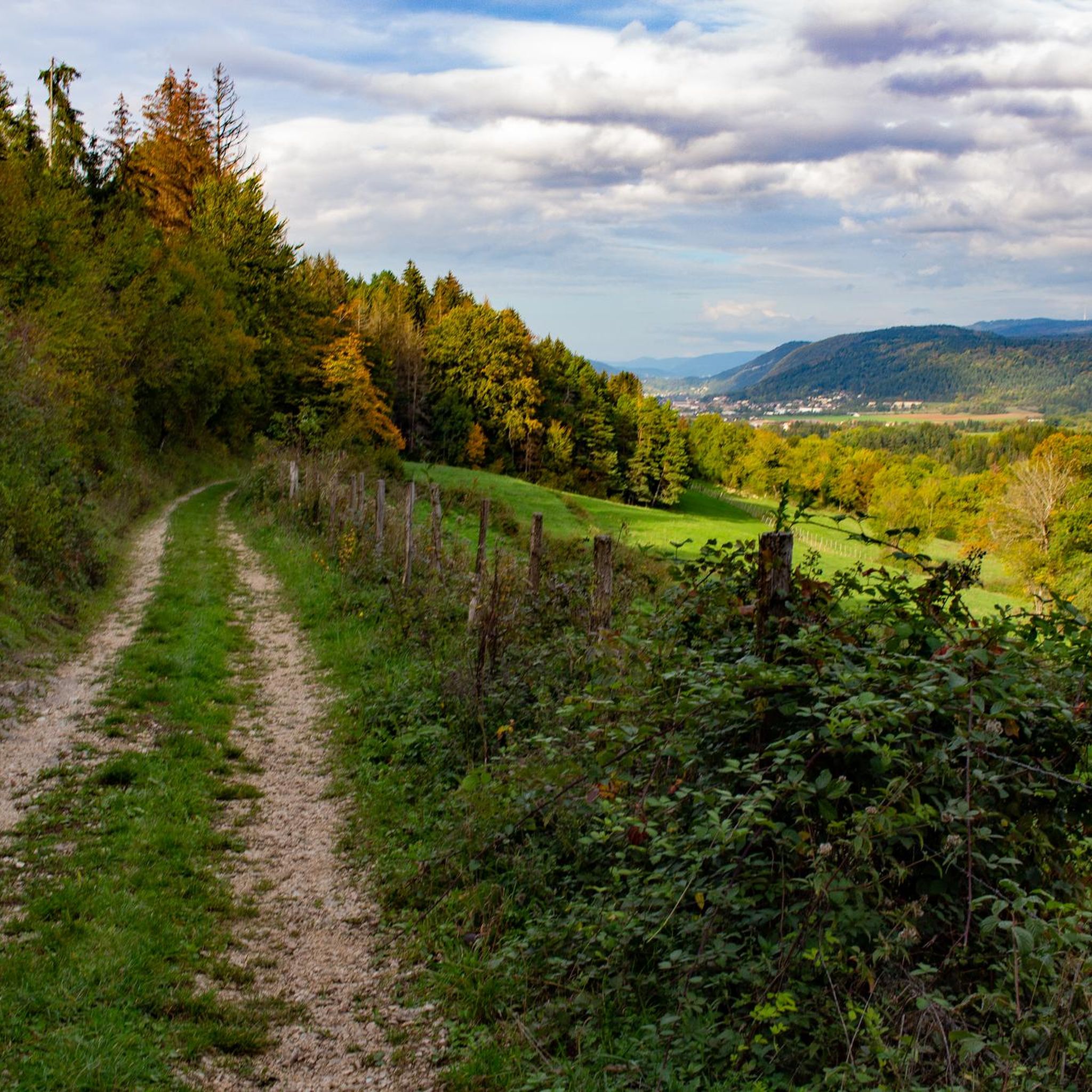
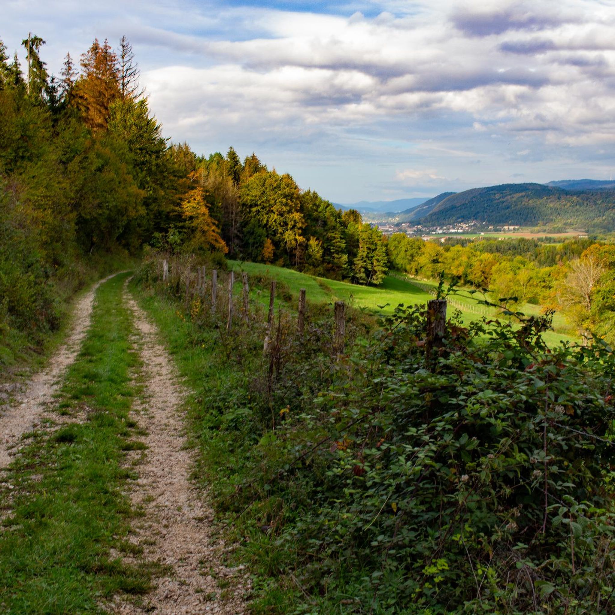
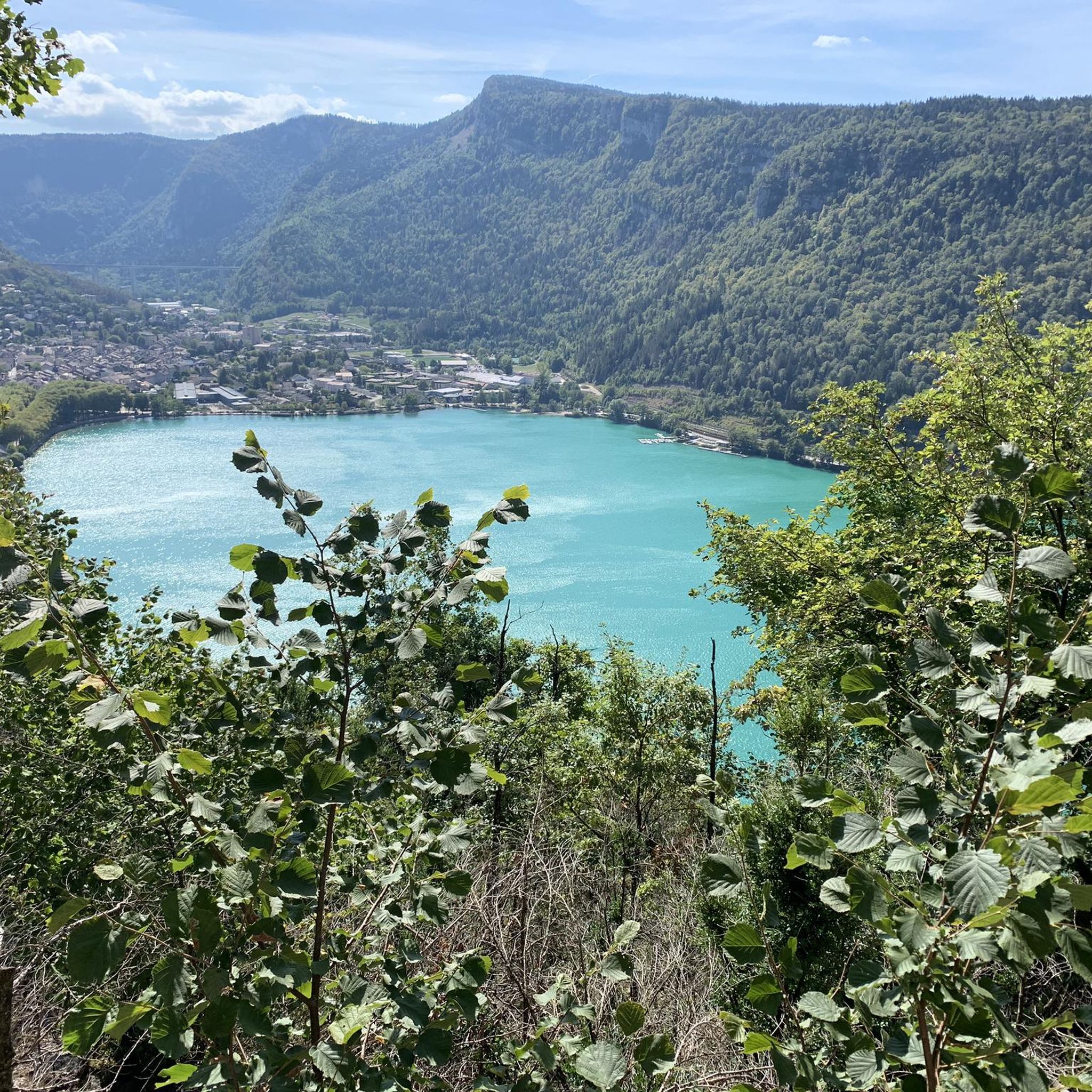
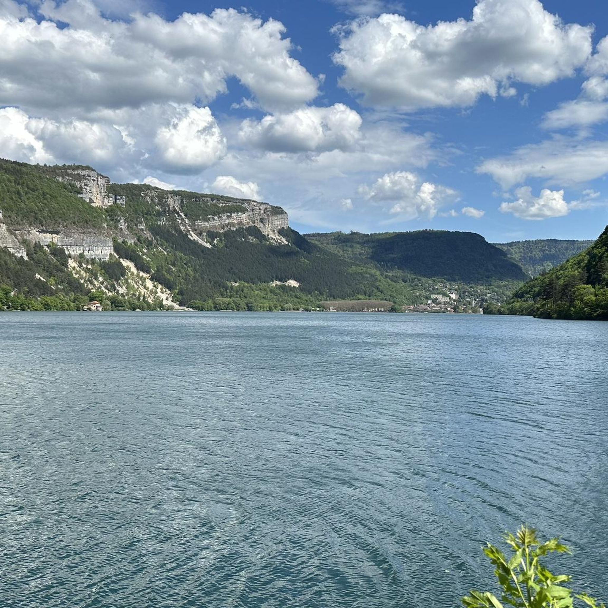
Touring cycling around Béard-Géovreissiat offers routes through the Ain department, characterized by varied terrain from rolling hills to dense forests and sub-alpine ranges. The region is situated near the Jura Mountains, providing a landscape rich in natural features, including limestone cliffs and picturesque valleys. Lac de Nantua is a prominent feature, offering lakeside routes.
Best touring cycling routes around Béard-Géovreissiat
- The most popular touring cycling route is Cycle path along Lake Nantua – Camping at Lake Nantua loop from Brion…
Last updated: June 28, 2026
3.8
(4)
124
riders
Moderate bike ride. Good fitness required. Mostly paved surfaces. Suitable for all skill levels.
5.0
(1)
37
riders
39.7km
02:40
580m
580m
Hard bike ride. Very good fitness required. Mostly paved surfaces. Suitable for all skill levels.

Sign up for free
4.7
(3)
20
riders
56.4km
03:44
790m
790m
Hard bike ride. Very good fitness required. Mostly paved surfaces. Suitable for all skill levels.
19
riders
41.1km
02:49
680m
680m
Hard bike ride. Very good fitness required. Mostly paved surfaces. Suitable for all skill levels.
12
riders
125km
08:32
2,140m
2,140m
Hard bike ride. Very good fitness required. Mostly paved surfaces. Suitable for all skill levels.
Get access to more routes and recommendations from other explorers.
Sign up for free
Already have an account?
Our route recommendations are based on thousands of hikes, rides, and runs completed by other people on komoot.
Start today with a free account
Your next adventure awaits.
Login or Signup

Tips from the Community

The Lac de Nantua is a superb body of water of 141 hectares. In the heart of the Jura, it offers an ideal setting for practicing a multitude of sports. It is even possible to swim in its waters.
1
0
The Marron ponds are named after a family from Brénod, it is not a reference to the color of the water. Only one of them remains filled with water all year round. This one served as a water reserve and fishing spot for the monks of the Meyriat abbey. In spring, a multitude of water lilies cover the surface.
0
0

Beautiful, simple, easy walk; lots of traffic noise on the "road" section, a bit of a shame, but the color of the water is magical
1
0

beautiful pass, quite rolling especially through St Germain de Joux, a little tougher on the Saint Claude side. lots of writing on the ground since the Tour de France passed through.
0
0

Beautifully illuminated tunnel. Relatively short and with little traffic.
0
0

Description Comté cheeses are made here every morning using traditional techniques. To see Comté being made from the viewing gallery, arrive before 10:30 a.m. Opening Hours From January 2nd to December 31st Open Mondays from 8:30 a.m. to 12:00 p.m. Tuesday, Wednesday, Thursday, Friday, and Saturday from 8:30 a.m. to 12:00 p.m. and from 2:00 p.m. to 6:30 p.m. Sundays from 8:30 a.m. to 12:00 p.m. Exceptionally closed on May 1st and December 25th. Annual closures on May 1st and December 25th.
0
0

Unfortunately I was unlucky with the weather, but even as I drove past the place looked very nice, lots of grass and a place to swim.
0
0
Frequently Asked Questions
How many touring cycling routes are available around Béard-Géovreissiat?
There are over 30 touring cycling routes available around Béard-Géovreissiat. These routes offer a diverse range of experiences, from moderate lakeside paths to more challenging rides with significant elevation gain.
What kind of terrain can I expect when cycling in the Béard-Géovreissiat area?
The terrain around Béard-Géovreissiat is quite varied, characterized by rolling hills, dense forests, and sub-alpine ranges due to its proximity to the Jura Mountains. You'll encounter picturesque valleys, limestone cliffs, and the prominent Lac de Nantua, offering a mix of landscapes for touring cyclists.
What are the difficulty levels of touring cycling routes in this region?
The routes cater to various skill levels. While there are a couple of easy routes, the majority of touring cycling routes around Béard-Géovreissiat are classified as difficult (27 routes), with a few moderate options (4 routes). This means many routes feature challenging terrain and significant elevation changes.
Are there any circular touring cycling routes available?
Yes, many routes are designed as loops. For example, the Cycle path along Lake Nantua – Camping at Lake Nantua loop from Brion - Montréal-la-Cluse is a popular moderate circular route around Lac de Nantua. Another challenging option is the Lac de Nantua – Lac de Nantua loop from Brion - Montréal-la-Cluse, which also circles the lake.
Are there any family-friendly touring cycling routes in Béard-Géovreissiat?
For families or those seeking an easier ride, the secured cycling loop around Lac de Nantua is an excellent choice. Much of this path is dedicated to pedestrians and cyclists, making it suitable for all experience levels. While most routes in the guide are more challenging, there are a couple of easier options available.
What natural features or landmarks can I see along the touring cycling routes?
You can discover several natural wonders and landmarks. The stunning Lake Nantua is a central feature, often described with sapphire or emerald green waters. Other notable sights include the impressive Cize-Bolozon Viaduct, the mysterious Grotte de Corveissiat, and the scenic Cascade de la Pisse Vache waterfall.
Are there any long-distance cycling itineraries that pass through or near Béard-Géovreissiat?
Yes, Béard-Géovreissiat is close to significant long-distance routes. The Grande Traversée du Jura (GTJ), a 360 km itinerary, traverses the Upper Jura Regional Nature Park. Additionally, the ViaRhôna passes through the southern tip of the Jura Mountains, offering greenways along the Ain riverbank.
When is the best time of year to go touring cycling around Béard-Géovreissiat?
The best time to go touring cycling around Béard-Géovreissiat is generally from spring through autumn. During these seasons, the weather is more favorable, and the diverse landscapes, from rolling hills to lakeside paths, are at their most enjoyable. Always check local weather forecasts before heading out.
What do other touring cyclists say about the routes around Béard-Géovreissiat?
The touring cycling routes in Béard-Géovreissiat are highly rated by the komoot community, with an average score of 4.6 stars from over 10 reviews. Over 400 touring cyclists have used komoot to explore the varied terrain, often praising the scenic views around Lac de Nantua and the challenging ascents in the Jura foothills.
Are there routes that offer significant elevation gain for experienced cyclists?
Absolutely. Many of the routes in the Béard-Géovreissiat area, particularly the 27 classified as 'difficult,' feature significant elevation gain. For instance, the Cize-Bolozon Viaduct – Restaurant le Pont loop from Brion - Montréal-la-Cluse includes over 860 meters of ascent, providing a rewarding challenge for seasoned touring cyclists.
Where can I find more information about cycling in the Ain department?
For broader information on cycling opportunities within the Ain department, you can visit the official tourism website. They provide details on over 2,000 km of signposted routes, catering to various cycling styles. You can find more at ain-tourisme.com.
Most popular routes around Béard-Géovreissiat
Most popular attractions around Béard-Géovreissiat

Get inspired with the komoot mobile app


Explore more
Browse the best Cycling routes in other regions.
