The best cycling routes around Langrolay-Sur-Rance
4.2
(1835)
12,716
riders
277
rides
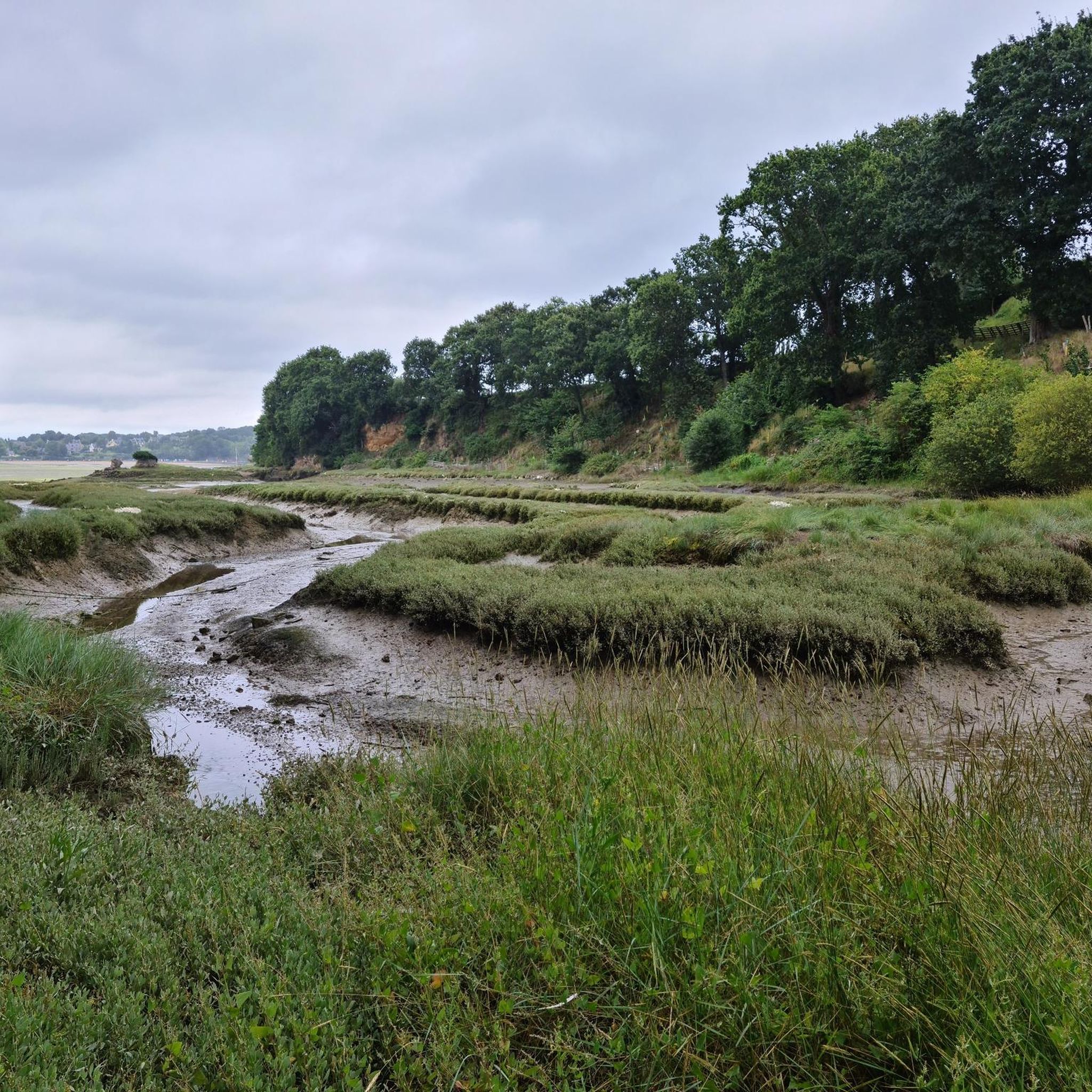
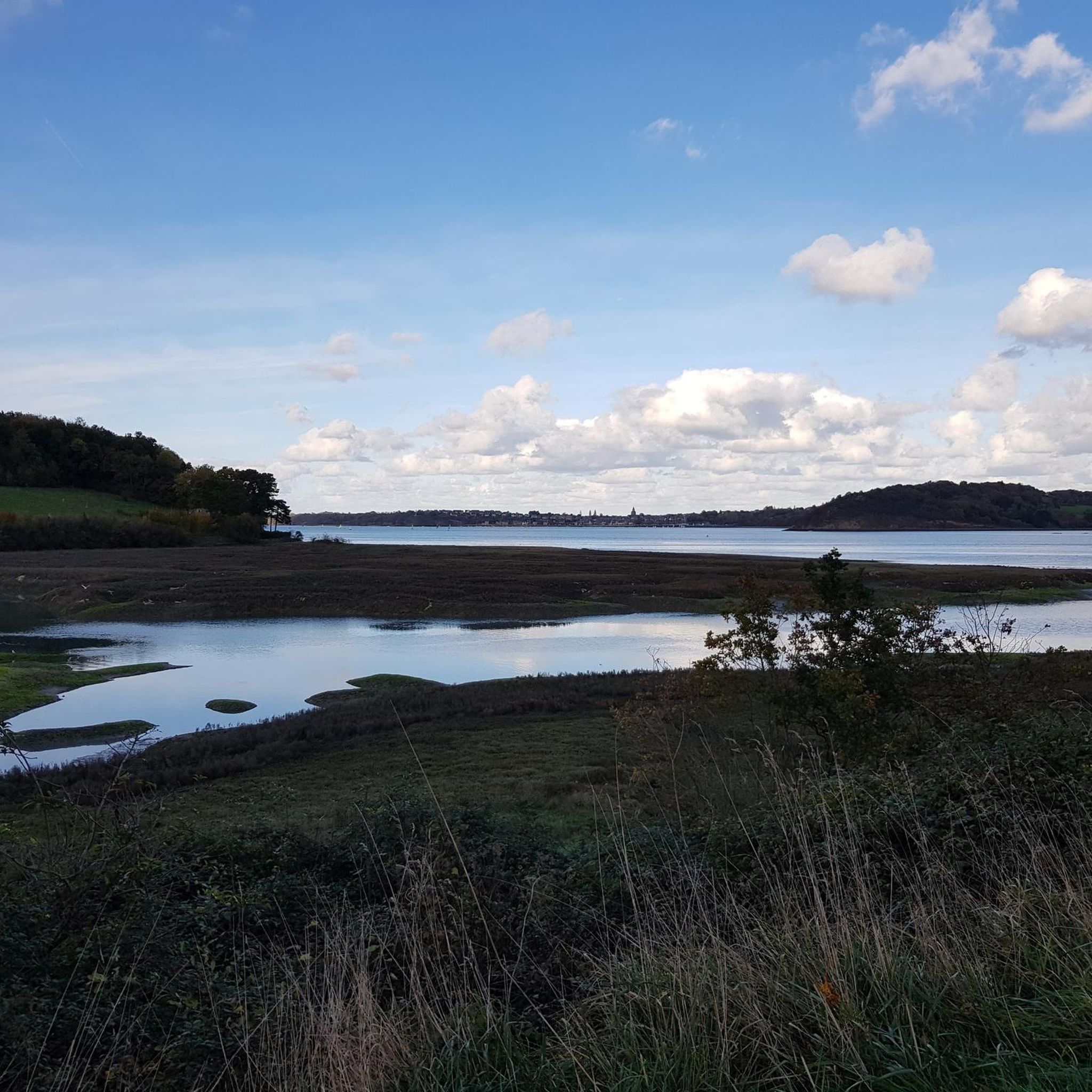
Touring cycling routes around Langrolay-Sur-Rance are characterized by their proximity to the Rance estuary, offering a mix of riverside paths and coastal views. The landscape includes gently rolling terrain, with some routes extending towards the historic city of Dinan or the fortified city of Saint-Malo. This area provides varied scenery, from tranquil waterways to more open coastal stretches.
Best touring cycling routes around Langrolay-Sur-Rance
- The most popular touring cycling route is Saint-Malo's ramparts – Beauchet Tidal Mill loop from Langrolay-sur-Rance…
Last updated: July 5, 2026
4.5
(19)
110
riders
58.6km
03:38
370m
370m
Moderate bike ride. Good fitness required. Mostly paved surfaces. Suitable for all skill levels.
4.8
(24)
196
riders
21.4km
01:20
70m
70m
Easy bike ride. Great for any fitness level. Mostly paved surfaces. Suitable for all skill levels.

Sign up for free
4.3
(8)
92
riders
23.1km
01:26
150m
150m
Easy bike ride. Great for any fitness level. Mostly paved surfaces. Suitable for all skill levels.
4.3
(3)
39
riders
23.3km
01:36
340m
340m
Moderate bike ride. Good fitness required. Mostly paved surfaces. Suitable for all skill levels.
4.3
(3)
26
riders
35.0km
02:15
410m
410m
Moderate bike ride. Good fitness required. Mostly paved surfaces. Suitable for all skill levels.
Get access to more routes and recommendations from other explorers.
Sign up for free
Already have an account?
Our route recommendations are based on thousands of hikes, rides, and runs completed by other people on komoot.
Start today with a free account
Your next adventure awaits.
Login or Signup

Tips from the Community

Small harbor on the river, with views of the viaduct and many restaurants. Simply beautiful.
0
0

Highest point of the Agglomeration of Saint-Malo, view over the Rance estuary. Numerous nearby trails on foot or MTB/Gravel
0
0

The bridge is closed to car traffic until 2028, but passage is still possible on foot or by bicycle.
2
0

The Plage du Môle beach is located at the foot of the mighty fortress walls of Saint-Malo (Intra-Muros), in the southwestern part of the historic old town. It is in the immediate vicinity of the Môle des Noires, a 500-meter-long pier that extends far into the sea and protects the harbor. The pier owes its name to the "Roches Noires," the black rocks on which it was built. To the north, the Plage du Môle is separated from the neighboring Plage de Bon Secours by a rock and the walls of the Bastion de la Hollande.
1
0

It's a very nice conversion, the place is very pleasant
0
0
It's a very nice place in the evening
0
0

Yes, unfortunately, the building is falling apart. It's a shame no one is saving it.
1
0

Small, fine beach directly at the city wall
0
0
Frequently Asked Questions
How many touring cycling routes are available around Langrolay-Sur-Rance?
There are over 260 touring cycling routes in the Langrolay-Sur-Rance area, offering a wide variety of options for different skill levels and preferences. This includes approximately 96 easy routes, 130 moderate routes, and 43 difficult routes.
Are there any easy touring cycling routes suitable for beginners or families?
Yes, Langrolay-Sur-Rance offers several easy touring cycling routes. A great option for a gentler ride through the inland countryside is the Historic train station – Towards Dinan loop from Pleslin, which is 13.3 miles (21.4 km) long.
What are some challenging touring cycling routes for experienced riders?
For experienced riders seeking a challenge, the Saint-Malo's ramparts – Beauchet Tidal Mill loop from Langrolay-sur-Rance is a difficult 37.8 miles (60.9 km) route that explores the Rance estuary and coastal areas near Saint-Malo, featuring significant elevation changes.
What kind of scenery can I expect on touring cycling routes in Langrolay-Sur-Rance?
The routes around Langrolay-Sur-Rance offer diverse scenery, from tranquil riverside paths along the Rance estuary to more open coastal stretches. You'll also find routes that venture into the inland countryside, providing a mix of natural beauty and historic charm.
Are there any circular touring cycling routes in the area?
Many touring cycling routes in Langrolay-Sur-Rance are designed as loops. For example, the Port of Dinan – Saint-Malo Castle loop from Pleslin is a popular circular route covering 36.6 miles (58.9 km) between the Rance river and the coast.
What are the typical durations for touring cycling routes in Langrolay-Sur-Rance?
Route durations vary significantly based on length and difficulty. Shorter, easy routes like the Historic train station – Towards Dinan loop from Pleslin can take around 1 hour 20 minutes, while longer, more challenging routes such as the Saint-Malo's ramparts – Beauchet Tidal Mill loop from Langrolay-sur-Rance might take nearly 4 hours.
What attractions or landmarks can I see along the touring cycling routes?
Many routes pass by notable attractions. You might encounter historic sites like Dinan Old Town, explore coastal areas near Saint-Malo Castle, or enjoy views from places like View of Fort National from Éventail Beach. The region also features beautiful beaches such as Môle Beach and Sillon Beach.
What do other touring cyclists say about the routes in Langrolay-Sur-Rance?
The touring cycling routes in Langrolay-Sur-Rance are highly rated by the komoot community, with an average score of 4.2 stars from over 1,700 reviews. Cyclists often praise the varied landscapes, from estuary paths to coastal sections, and the options available for different ability levels.
Are there any routes that explore the Rance estuary specifically?
Yes, the Rance estuary is a defining feature of the region's cycling. The Port of Saint-Suliac – Pont Saint-Hubert loop from Langrolay-sur-Rance is a moderate 14.9 miles (23.9 km) route that offers beautiful views along the estuary.
What is the best time of year to go touring cycling in Langrolay-Sur-Rance?
The best time for touring cycling in Langrolay-Sur-Rance is generally from spring to early autumn (April to October). During these months, the weather is typically milder and more pleasant, making for enjoyable rides along the coast and through the countryside.
Are there routes that connect Langrolay-Sur-Rance to nearby towns like Dinan or Saint-Malo?
Yes, several routes connect to or pass through these historic towns. For instance, the Saint-Suliac – Beauchet Tidal Mill loop from Langrolay-sur-Rance is a moderate 21.7 miles (34.9 km) route that offers a journey through the region's diverse landscapes, including proximity to Saint-Malo.
Most popular routes around Langrolay-Sur-Rance
Most popular attractions around Langrolay-Sur-Rance

Get inspired with the komoot mobile app


Explore more
Browse the best Cycling routes in other regions.
