The best walks and hikes around Langrolay-Sur-Rance
4.6
(1847)
14,958
hikers
286
hikes
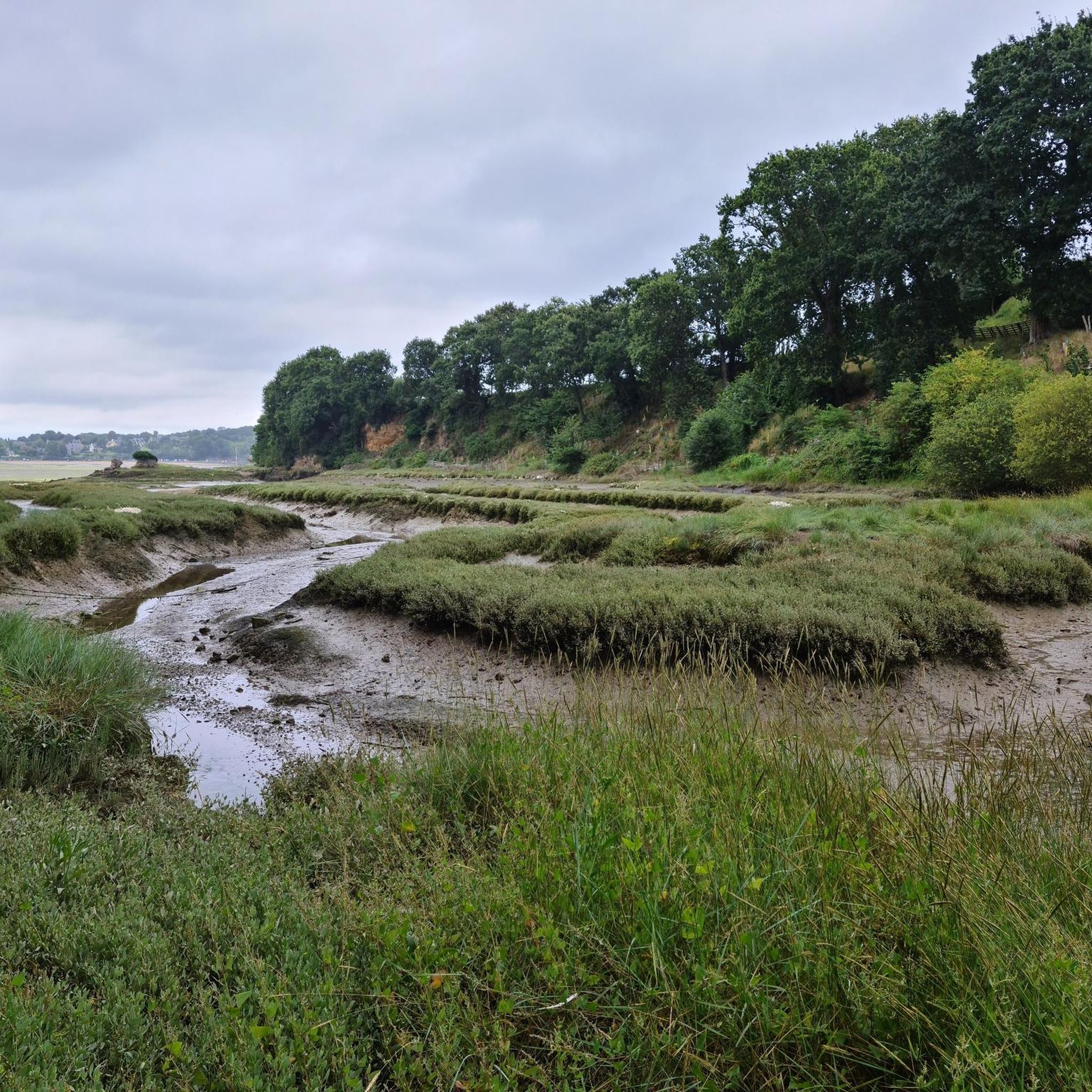
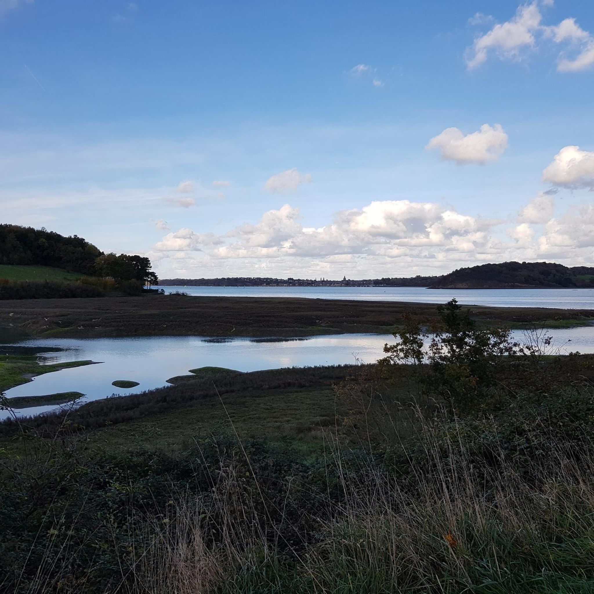
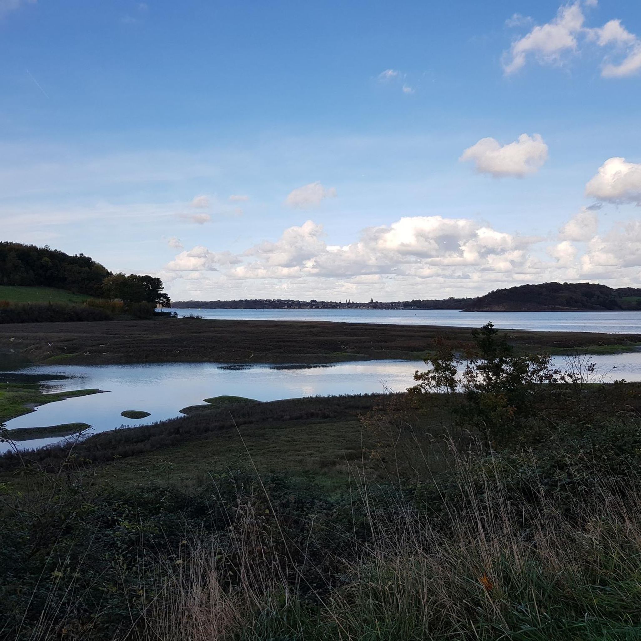
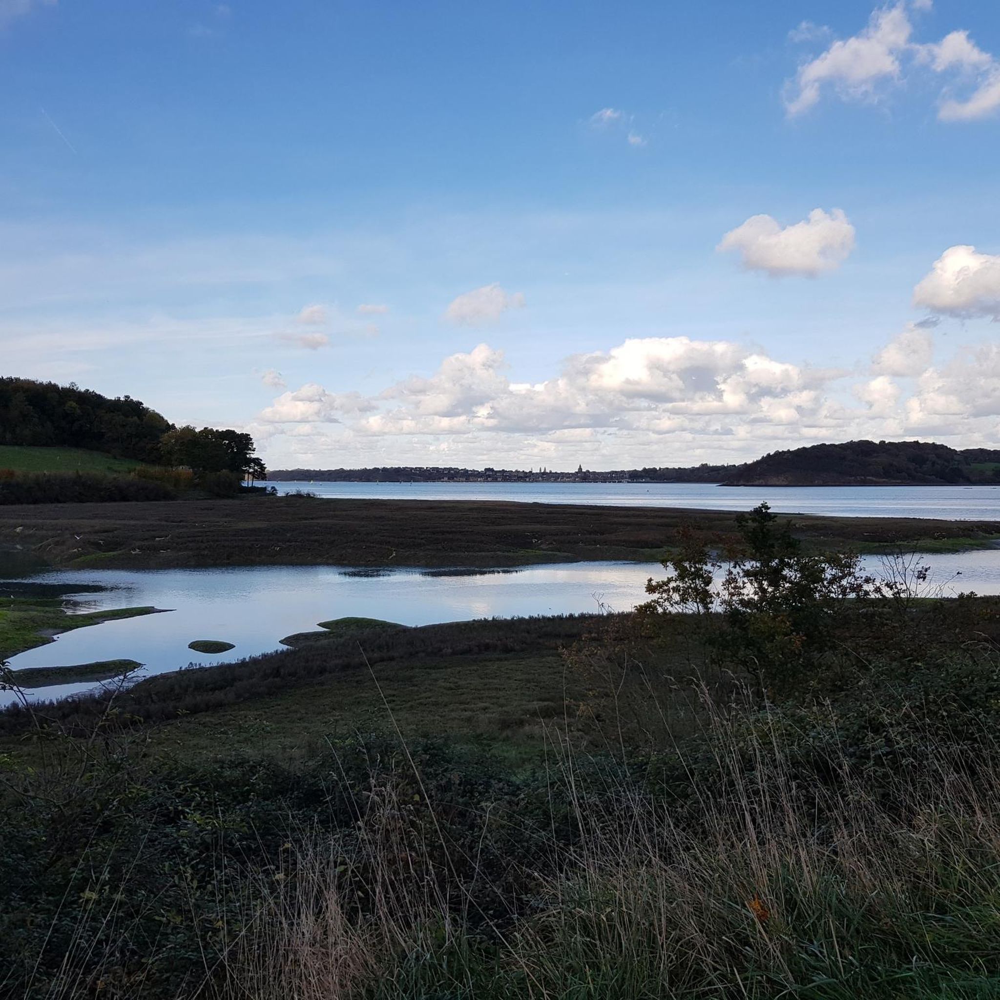
Hiking around Langrolay-Sur-Rance offers diverse landscapes along the Rance Estuary in Brittany, France. The region features coastal paths, including sections of the GR34, and extends into small valleys and countryside. Hikers encounter varied terrain, from foreshores at low tide to wooded sections along streams, with elevations typically under 200 meters. The Rance river is a central natural feature, historically dotted with tidal mills.
Best hiking trails around Langrolay-Sur-Rance
- The most popular hiking route is Circuit de la Landriais, a…
Last updated: July 9, 2026
4.7
(34)
158
hikers
7.93km
02:06
80m
80m
Moderate hike. Good fitness required. Mostly accessible paths. Sure-footedness required.
4.8
(14)
70
hikers
Moderate hike. Good fitness required. Easily-accessible paths. Suitable for all skill levels.

Sign up for free
4.4
(9)
78
hikers
17.3km
04:34
160m
160m
Moderate hike. Good fitness required. Easily-accessible paths. Suitable for all skill levels.
5.0
(7)
29
hikers
5.91km
01:35
70m
70m
Easy hike. Great for any fitness level. Easily-accessible paths. Suitable for all skill levels.
4.3
(7)
18
hikers
Easy hike. Great for any fitness level. Easily-accessible paths. Suitable for all skill levels.
Get access to more routes and recommendations from other explorers.
Sign up for free
Already have an account?
Our route recommendations are based on thousands of hikes, rides, and runs completed by other people on komoot.
Start today with a free account
Your next adventure awaits.
Login or Signup

Tips from the Community

Pretty sandy beach at Minihic-sur-Rance.
0
0

Classified as a historic monument, this dry dock is unique in its kind. Explanatory panels on the platform just ahead.
0
0
Some nice wrecks
2
1
Between the banks of the Rance and sunken lanes. To discover
1
0

Not far from the campsite is the sandy beach Grève de Garel. Here you can swim, look for shells or watch the surfers.
1
0
From the wooden look platform you can look nice on the old dry dock. A walk along the beach leads past the old shipwreck, which last their last existence here.
2
0
Frequently Asked Questions
What kind of terrain can I expect on hikes around Langrolay-sur-Rance?
Hiking around Langrolay-sur-Rance offers a diverse mix of landscapes. You'll find coastal paths along the Rance Estuary, including sections of the famous GR34, as well as charming small valleys and countryside trails. Expect varied terrain, from foreshores at low tide to wooded sections along streams like the Houssaye. Elevations are generally gentle, typically under 200 meters.
Are there family-friendly hiking options in Langrolay-sur-Rance?
Yes, Langrolay-sur-Rance offers a good selection of family-friendly hikes. Out of over 270 routes, 146 are rated as easy, making them suitable for various fitness levels and families. These routes often provide beautiful views without strenuous climbs.
Are dogs allowed on the hiking trails in Langrolay-sur-Rance?
While the region is generally welcoming to outdoor enthusiasts, specific regulations for dogs on trails can vary. It's always best to keep dogs on a leash, especially in nature areas or near livestock, and to clean up after them. Many trails, particularly the coastal paths and countryside loops, are suitable for walks with well-behaved dogs.
What natural features define the hiking experience in Langrolay-sur-Rance?
The Rance Estuary is the defining natural feature, offering magnificent views and coastal paths. You'll also encounter small valleys, picturesque countryside, and streams. The area is rich in history, with vestiges of tidal mills along the Rance, and the estuary serves as a wintering ground for migratory birds, offering opportunities for wildlife observation.
What is the best time of year to go hiking in Langrolay-sur-Rance?
The region is enjoyable for hiking throughout much of the year. Spring and autumn offer pleasant temperatures and beautiful scenery, with fewer crowds. Summer is also popular, though it can be warmer. Winter hikes can be refreshing, especially along the Rance, which is a wintering ground for migratory birds.
Are there many circular hiking routes available in Langrolay-sur-Rance?
Yes, Langrolay-sur-Rance is known for its variety of hiking loops. Many routes are designed as circular walks, allowing you to start and end at the same point. Examples include the Circuit de la Landriais and the Bar Le Doris loop from Langrolay-sur-Rance, which offer convenient exploration of the area.
What notable landmarks or viewpoints can I see along the hiking trails?
Hikers can enjoy several points of interest. The La Pointe du Puits and Pointe de la Malouine offer stunning panoramic views over the Rance estuary. You might also encounter historical sites like the ruins of ancient tidal mills, a 17th-century granite cross, and the Malouinière de Montmarin, a remarkable corsair residence with impressive gardens.
Is parking available near the trailheads in Langrolay-sur-Rance?
Yes, parking is generally available near popular trailheads and in the village of Langrolay-sur-Rance. Many routes, such as those starting from the Chapelle du Souhaitier or near Garel Beach, have designated parking areas, making access convenient for hikers.
What do other hikers enjoy most about the trails in Langrolay-sur-Rance?
The trails in Langrolay-sur-Rance are highly rated by the komoot community, with an average score of 4.5 stars from over 1,500 reviews. Hikers frequently praise the diverse scenery, from coastal views to peaceful countryside, and the well-maintained paths that cater to various ability levels. The blend of natural beauty and historical interest is often highlighted.
How many hiking trails are there in Langrolay-sur-Rance?
There are over 270 hiking routes available around Langrolay-sur-Rance. This extensive network includes options for all skill levels, with 146 easy routes, 116 moderate routes, and 8 more challenging trails.
Can I access hiking trails in Langrolay-sur-Rance using public transport?
While Langrolay-sur-Rance is a charming village, public transport options directly to all trailheads might be limited. It's advisable to check local bus schedules if you plan to rely on public transport. However, the village itself is a good starting point for many walks, and its proximity to larger towns like Dinan and Saint-Malo, which have better transport links, makes it accessible.
Are there places to eat or drink near the hiking trails?
Langrolay-sur-Rance and nearby villages offer local establishments where you can find refreshments. After a hike, you can often find cafes or small restaurants to enjoy local cuisine. It's a good idea to check opening hours, especially outside of peak season.
Most popular routes around Langrolay-Sur-Rance
Most popular attractions around Langrolay-Sur-Rance

Get inspired with the komoot mobile app


Explore more
Browse the best Hikes in other regions.
