The best road cycling routes around Langrolay-Sur-Rance
4.4
(281)
8,925
riders
316
rides
Road cycling around Langrolay-Sur-Rance offers diverse routes through varied terrain, situated on the banks of the Rance estuary in Brittany, France. The region features a mix of coastal environments, marshes, and wooded areas, providing a range of scenic backdrops for cyclists. A notable feature is the "Voie Verte," a greenway built on an old railway line, offering a safe and flat path accessible from the area. The landscape transitions between the Rance River and the sea, with routes winding through…
Last updated: October 18, 2026
4.0
(3)
80
riders
38.6km
01:41
350m
350m
Moderate road ride. Good fitness required. Mostly well-paved surfaces and easy to ride.
5.0
(1)
21
riders
27.9km
01:17
270m
270m
Easy road ride. Great for any fitness level. Mostly well-paved surfaces and easy to ride.

3.8
(4)
31
riders
25.9km
01:06
210m
210m
Easy road ride. Great for any fitness level. Mostly well-paved surfaces and easy to ride.
5.0
(1)
19
riders
Moderate road ride. Good fitness required. Mostly well-paved surfaces and easy to ride.
5.0
(2)
18
riders
46.2km
01:55
320m
320m
Moderate road ride. Good fitness required. Mostly well-paved surfaces and easy to ride.
Get access to more routes and recommendations from other explorers.
Already have an account?
Our route recommendations are based on thousands of hikes, rides, and runs completed by other people on komoot.
Start today with a free account
Your next adventure awaits.

Tips from the Community


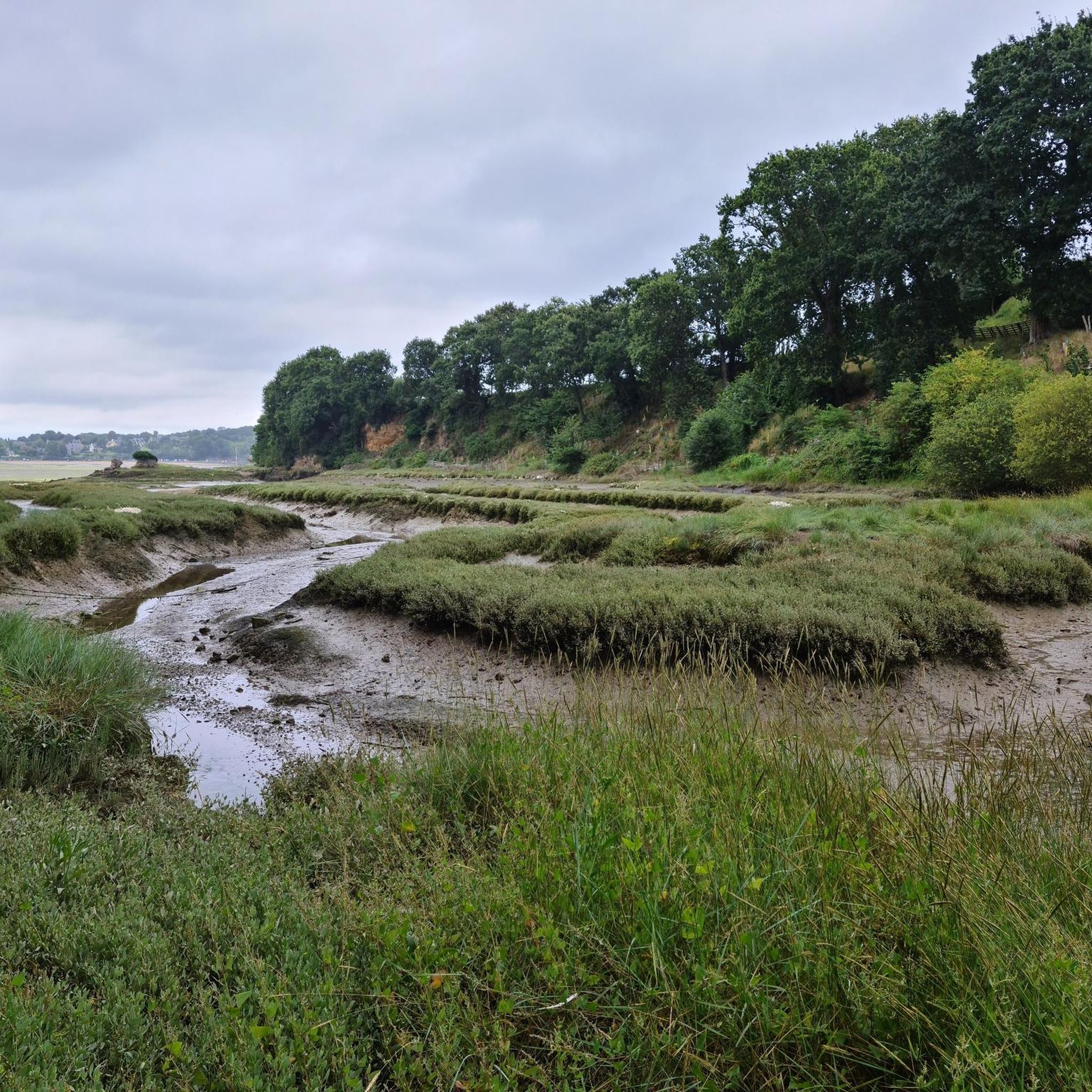
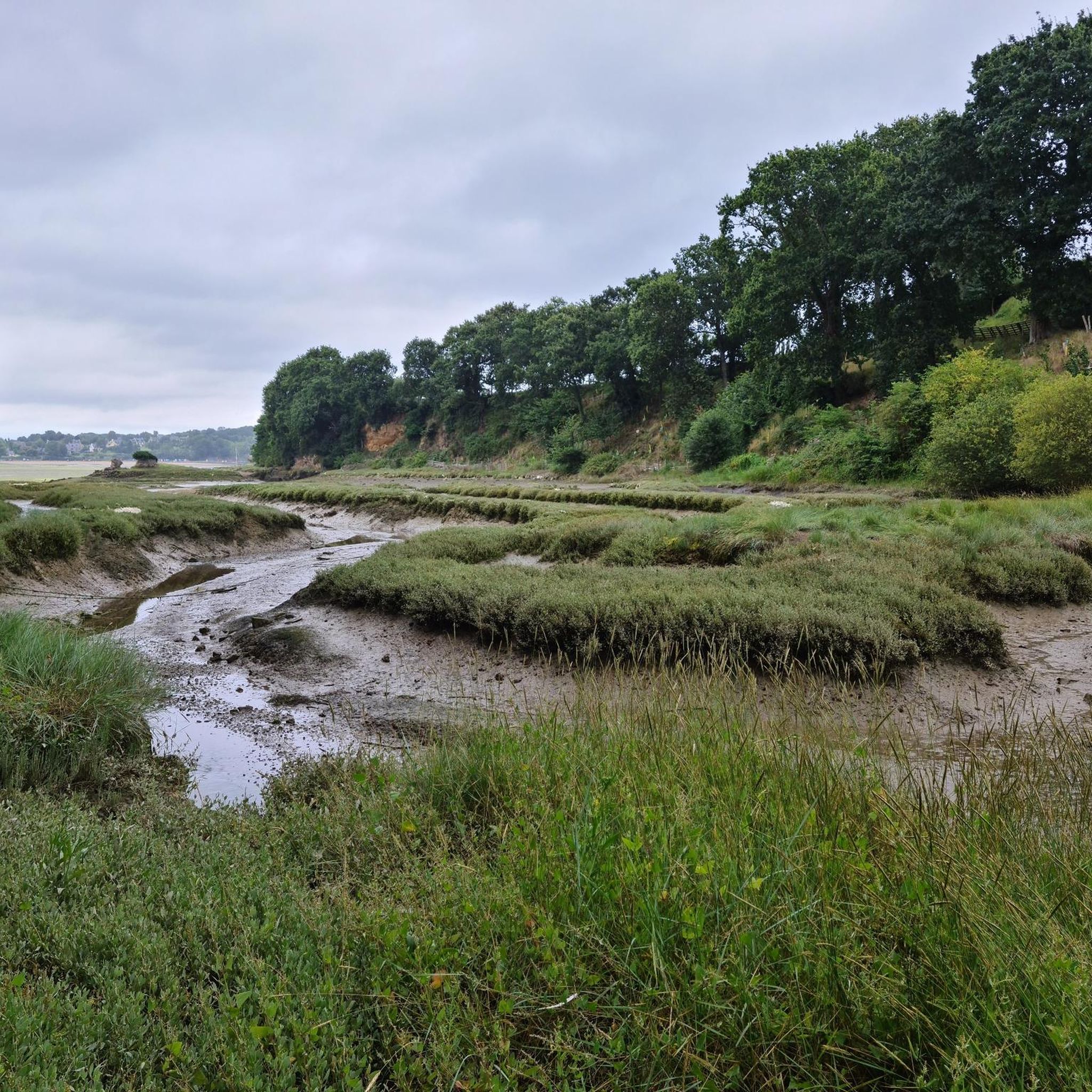
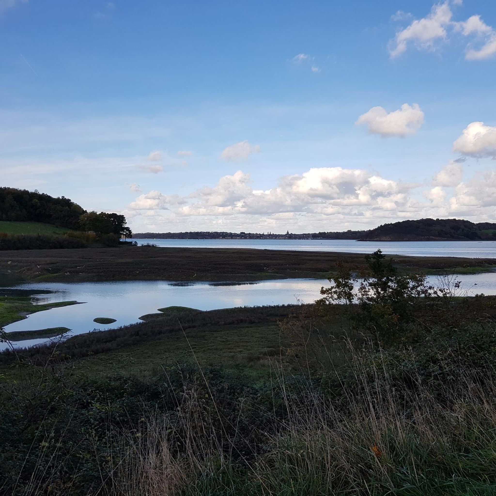
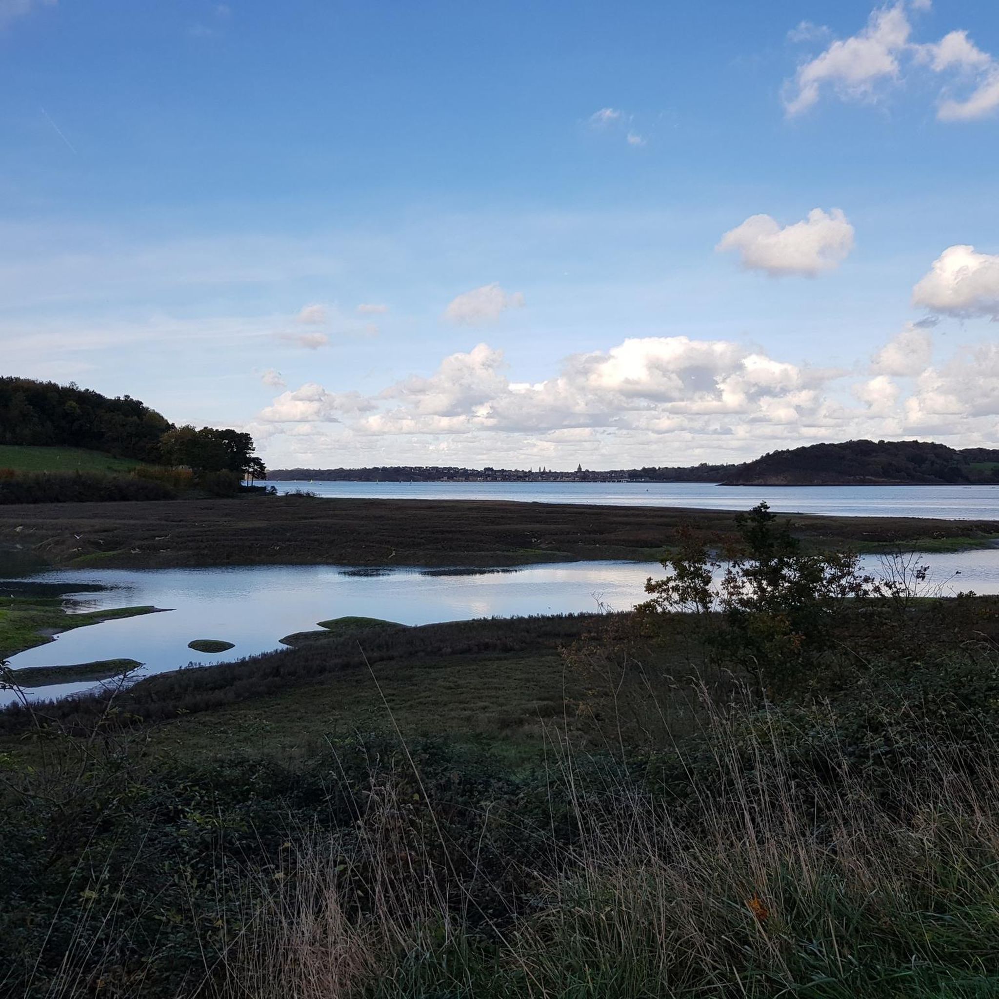
beautiful road and beautiful view
0
0

Memorial to the fallen of the two world wars.
0
0
Memorial to the fallen of the two world wars.
0
0

Pretty beach facing St Malo. There is a seawater swimming pool.
0
0

The Temple of Mars, erected in the 18th century, embodies neoclassical elegance. Located in a green setting, its imposing columns and refined architecture offer an architectural experience steeped in history.
0
0

This beach offers a beautiful view of the Ville Close of Saint-Malo. When the sea recedes, an outdoor swimming pool allows you to swim without walking too much. Beach supervised in season. Dogs prohibited from June 15 to September 15. You can also rent a kayak during peak season.
1
0

Beaussais Beach in Trégon is located at the bottom of Lancieux Bay. It is a beach which, alongside those of nearby Saint-Jacut, struggles to compare. At the bottom of the bay, it is very briefly covered at high tide. In addition, she roadside. But its main interest is precisely low tide: long walks in a landscape similar to the desert, with a particular ecosystem: glasswort, sea bean, shellfish and crustaceans. However, its main attraction is the sand yachting which benefits here from an incredibly vast virgin space and relatively flat ground. The course for the tanks is here but registration is done at the ZA des Basses Terres nautical center, nearby, in Saint-Jacut.
0
0
Frequently Asked Questions
What is the typical terrain and elevation for road cycling routes around Langrolay-sur-Rance?
Road cycling routes in Langrolay-sur-Rance offer varied terrain, transitioning between coastal environments, marshes, and wooded areas along the Rance estuary. While some routes, like the "Voie Verte," are notably flat, others feature moderate elevation changes. For instance, the Léhon – The Port of Dinan loop from Langrolay-sur-Rance includes over 500 meters of elevation gain, providing a more undulating experience.
Are there easy road cycling routes suitable for beginners in Langrolay-sur-Rance?
Yes, Langrolay-sur-Rance offers easy road cycling options. The "Voie Verte," built on an old railway line, provides a safe and flat path, ideal for beginners or those seeking a relaxed ride. An example of an easy route is the View of Moulin Neuf – Prieuré Beach loop from Langrolay-sur-Rance, which is 16.9 miles (27.2 km) long with manageable elevation.
Are there challenging road cycling routes for experienced riders around Langrolay-sur-Rance?
While there are no routes explicitly graded as 'difficult' in the immediate area, experienced riders can find moderate routes that offer a good challenge. Routes like the Léhon – The Port of Dinan loop from Langrolay-sur-Rance, at 34.2 miles (55.0 km) with over 500 meters of elevation, or the Contemplating low tide 🏝 – Le Grand Trait de Créhen ✍🏻 loop from Langrolay-sur-Rance, which is 33.2 miles (53.4 km), provide longer distances and varied terrain to test endurance.
What historical sites or natural landmarks can I see along the road cycling routes?
The region is rich in history and natural beauty. Along your rides, you can encounter ancient tidal mills, the impressive Rance estuary, and the historic town of Dinan. Specific attractions include the Dinan Old Town, which many routes connect to, and the Saint-Malo Castle, which is accessible from some routes. The View of Fort National from Éventail Beach also offers a scenic landmark.
Are most road cycling routes around Langrolay-sur-Rance circular?
Yes, many of the road cycling routes around Langrolay-sur-Rance are designed as loops, allowing you to start and finish at the same point. Examples include the View of Moulin Neuf – Prieuré Beach loop from Langrolay-sur-Rance and the Dinan Viaduct – The Port of Dinan loop from Langrolay-sur-Rance, offering convenient circular journeys.
What is the best time of year for road cycling in Langrolay-sur-Rance?
The region is generally pleasant for cycling from spring through autumn. The mild climate of Brittany makes it suitable for outdoor activities. Summer offers longer daylight hours and warmer temperatures, while spring and early autumn provide comfortable cycling conditions with fewer crowds and vibrant landscapes.
Are there family-friendly road cycling routes in Langrolay-sur-Rance?
Yes, the area is well-suited for family cycling, especially along the "Voie Verte" (greenway). This path, built on an old railway line, is safe, flat, and largely traffic-free, connecting towns like Dinard and Dinan. It offers varied landscapes and is accessible from Langrolay-sur-Rance, particularly from Pleslin-Trigavou.
Can I bring my dog on road cycling routes in Langrolay-sur-Rance?
While road cycling routes are generally not ideal for dogs due to traffic and speed, the region does offer paths like the "Voie Verte" which might be more suitable for dogs on a leash, especially if they are accustomed to running alongside a bike. Always ensure your dog's safety and comfort, and check local regulations for specific paths.
Where can I park my car when starting a road cycling route in Langrolay-sur-Rance?
Parking is generally available in and around Langrolay-sur-Rance, particularly near popular starting points for routes or in the nearby towns like Dinan or Dinard, which are often connected by cycling paths. Look for public parking areas in the village centers or near access points to the "Voie Verte".
How can I reach the cycling routes using public transport?
The region has some public transport options, though direct access to all route start points might vary. The "Voie Verte" is accessible from towns like Dinard and Dinan, which may have better public transport links. Consider checking local bus services for connections to Langrolay-sur-Rance or nearby villages that serve as route access points.
Are there places to eat or stay along the road cycling routes?
Yes, as you cycle through the region, you'll find charming villages and towns like Dinan, which offer various cafes, restaurants, and accommodation options. The former train station in Pleslin-Trigavou, a key access point to the "Voie Verte," is now a gîte d'étape, providing overnight accommodation for cyclists. Many routes pass through or near areas with amenities.
How many road cycling routes are available around Langrolay-sur-Rance?
There are over 10 road cycling routes available around Langrolay-sur-Rance, offering diverse options for various skill levels. These routes range from easy greenways to moderate paths, allowing cyclists to explore the Rance estuary, coastal views, and wooded countryside.
What do other road cyclists enjoy the most about road cycling in Langrolay-sur-Rance?
The area is highly rated by the komoot community, with an average score of 4.5 stars from over 200 reviews. Cyclists often praise the diverse landscapes, including the scenic Rance estuary and coastal views, as well as the well-maintained paths like the "Voie Verte" that offer a safe and enjoyable riding experience.
Most popular routes around Langrolay-Sur-Rance
Most popular attractions around Langrolay-Sur-Rance

Get inspired with the komoot mobile app


Explore more
Browse the best Road cycling routes in other regions.
