The best cycling routes around Saint-Hilaire-Cusson-La-Valmitte
4.6
(105)
1,463
riders
182
rides
Touring cycling routes around Saint-Hilaire-Cusson-La-Valmitte traverse varied landscapes in the Loire department of the Auvergne-Rhône-Alpes region. The area is characterized by extensive forests, including pine and beech trees, and features several waterways such as the Aigue Blanche stream and the Andrable river. The topography ranges from 640 to 977 meters in altitude, providing varied terrain for cycling. This region offers a network of adapted paths and country roads suitable for touring cyclists.
Best touring cycling routes around Saint-Hilaire-Cusson-La-Valmitte
- The most…
Last updated: July 13, 2026
33
riders
Hard bike ride. Very good fitness required. Mostly paved surfaces. Suitable for all skill levels.
5.0
(1)
32
riders
40.7km
03:38
750m
750m
Hard bike ride. Very good fitness required. You may need to push your bike for some segments of this route.

Sign up for free
23
riders
Hard bike ride. Very good fitness required. Mostly paved surfaces. Suitable for all skill levels.
25
riders
56.2km
05:05
1,120m
1,120m
Hard bike ride. Very good fitness required. You may need to push your bike for some segments of this route.
19
riders
Hard bike ride. Very good fitness required. You may need to push your bike for some segments of this route.
Get access to more routes and recommendations from other explorers.
Sign up for free
Already have an account?
Our route recommendations are based on thousands of hikes, rides, and runs completed by other people on komoot.
Start today with a free account
Your next adventure awaits.
Login or Signup
Popular around Saint-Hilaire-Cusson-La-Valmitte

Tips from the Community

Former St-Marcellin / Estivareilles railway line. Average gradient 2%
0
0

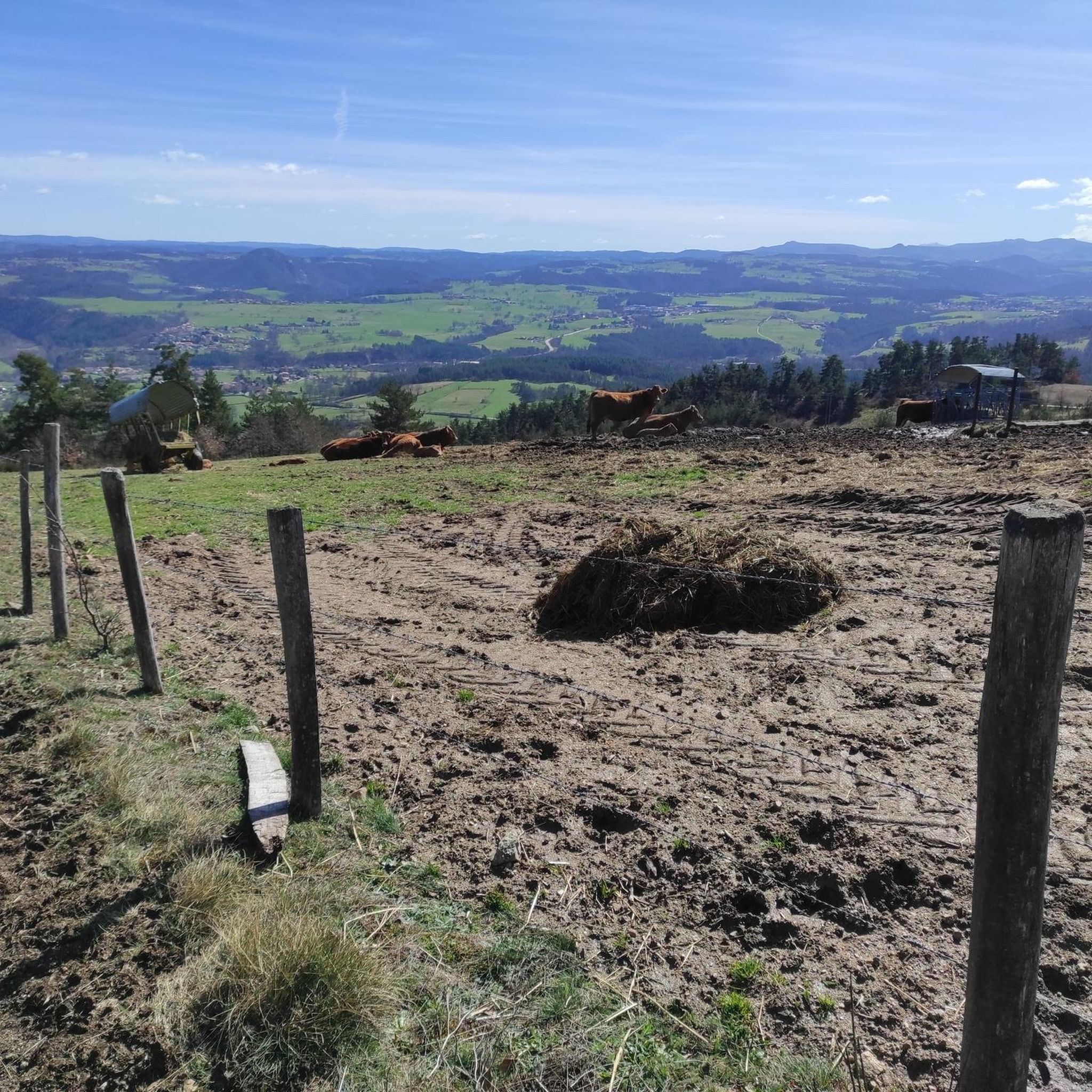
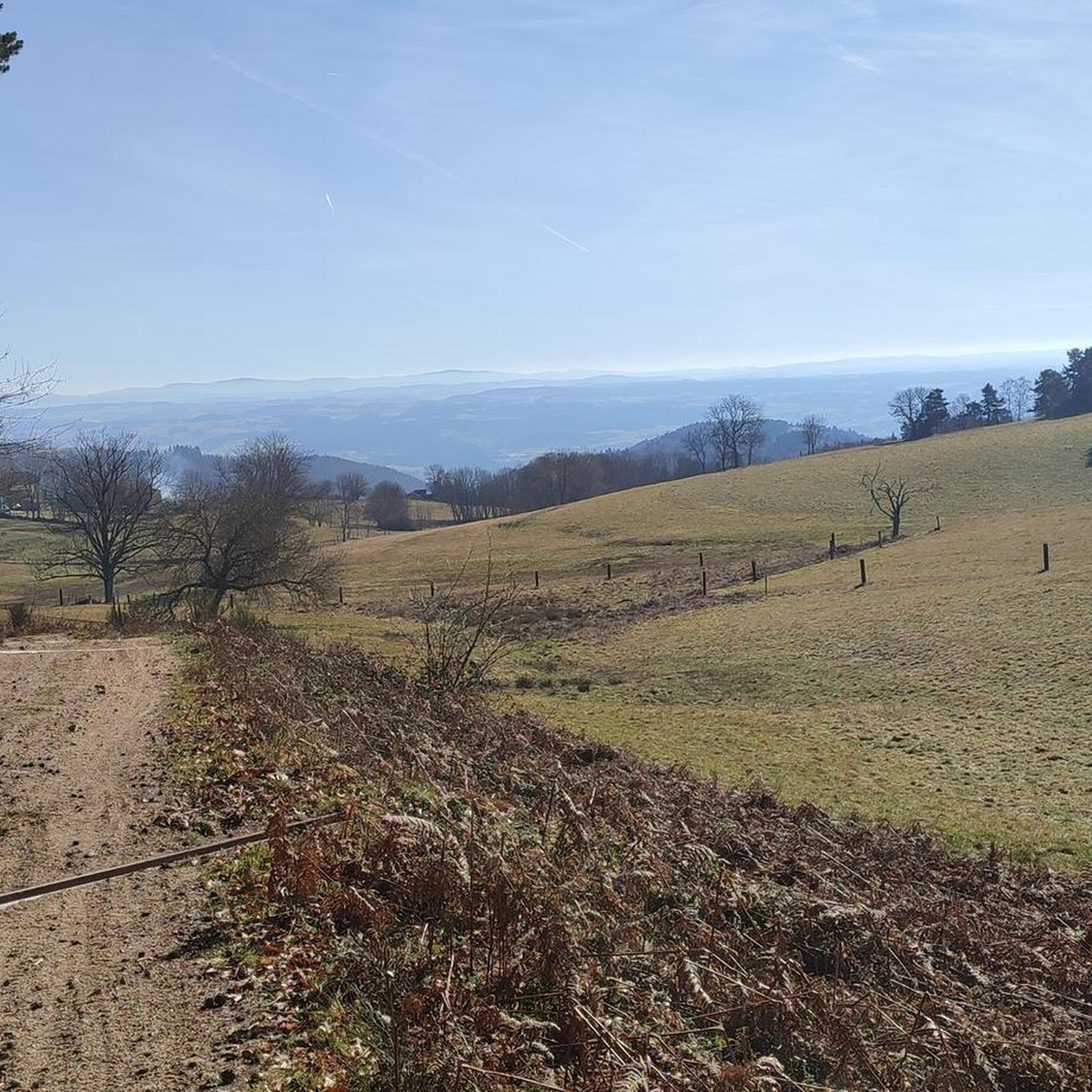
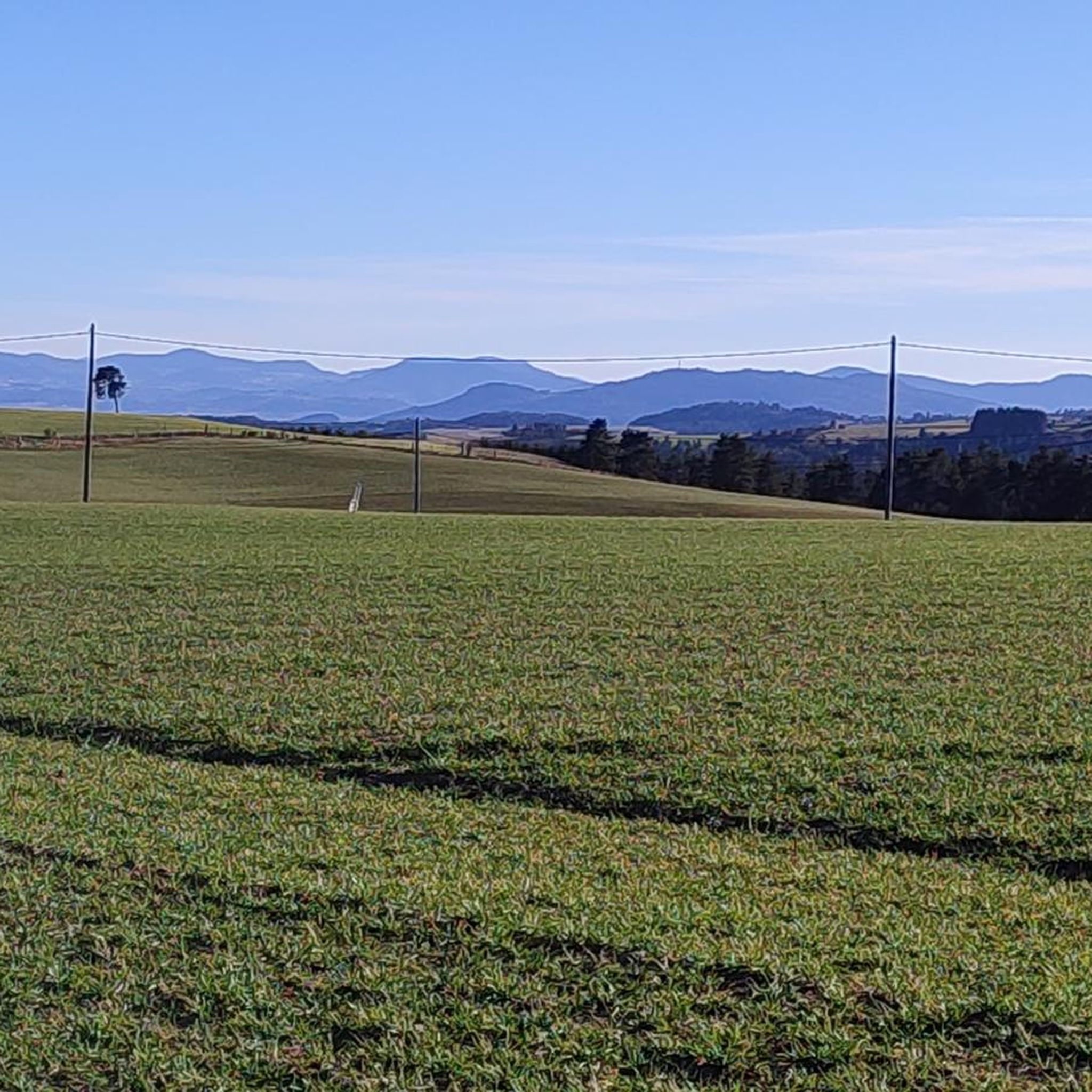
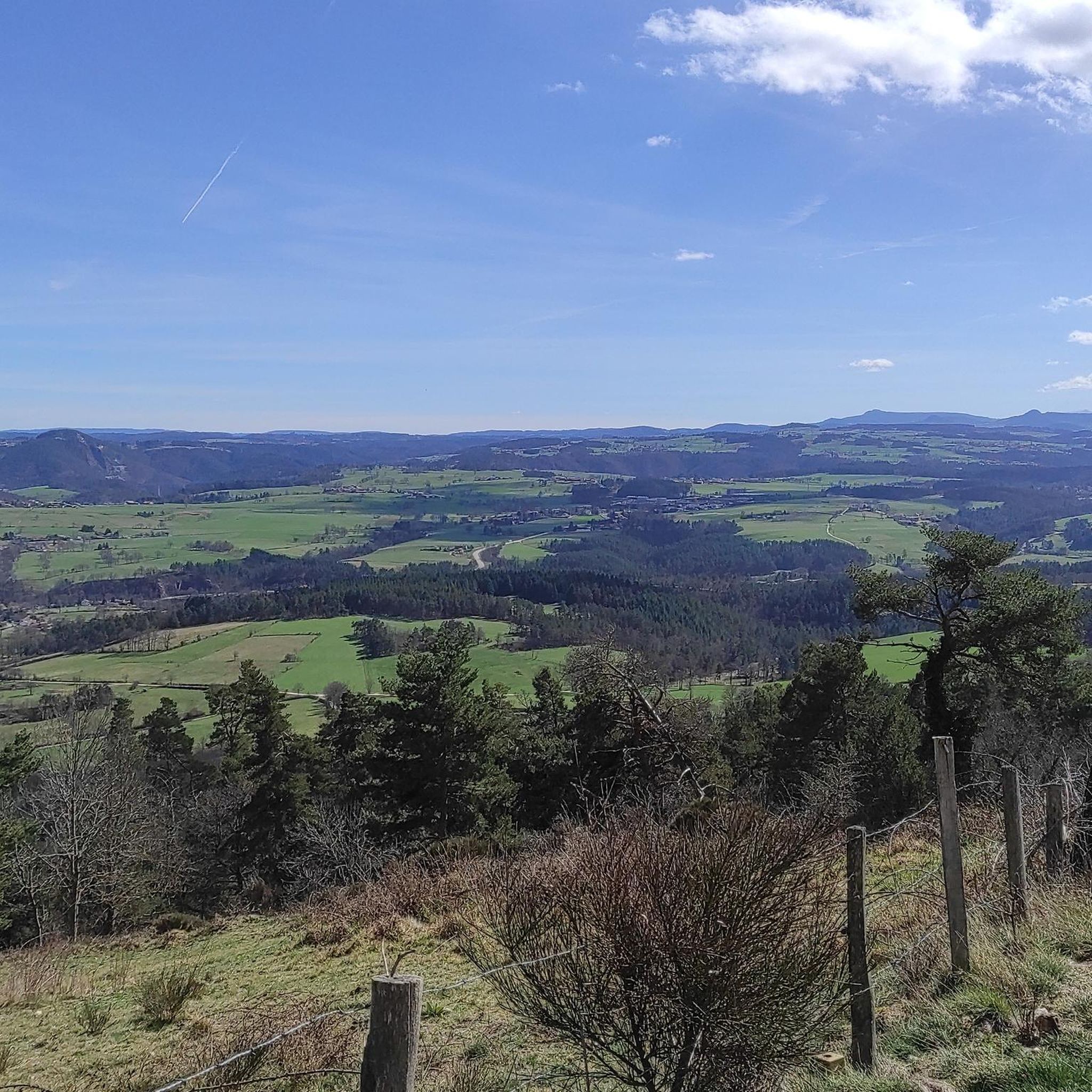
From Montarcher you have a breathtaking view of the Loire Valley all the way to the Alps
0
0

Ferréol is a small hamlet whose old volcanic stones bear witness to the rich geological history of the region. On its central square, a fountain allows you to fill your bottle with fresh water.
0
0


Montarcher, a small town in the heart of southern Haut-Forez, perched at 1162 meters, offers an exceptional panorama over the Velay and the Forez. Registered site, Montarcher is classified "Village of character" and has a remarkable heritage.
4
0


On a clear day, there is a fantastic view from up here.
8
0

The collegiate Saint-Bonnet is built from May 8, 1400, date engraved in the crypt. It has several chapels, a former convent and a large hall. It is best known for its 15th century wall paintings and for its library containing numerous incunabula.
1
0
Frequently Asked Questions
How many touring cycling routes are available in Saint-Hilaire-Cusson-La-Valmitte?
There are over 160 touring cycling routes available in Saint-Hilaire-Cusson-La-Valmitte, offering a wide range of options for exploration.
What are the typical difficulty levels for touring cycling routes in this region?
The touring cycling routes in Saint-Hilaire-Cusson-La-Valmitte are predominantly challenging. Out of over 160 routes, about 125 are classified as difficult, 35 as moderate, and a few are easy. This indicates a region well-suited for cyclists looking for significant elevation changes and demanding rides.
What kind of terrain and landscapes can I expect on touring cycling routes around Saint-Hilaire-Cusson-La-Valmitte?
You can expect varied and dynamic terrain. The region is characterized by extensive forests, including both pine and beech varieties, and features the Andrable river. Routes often traverse small villages and offer spectacular panoramic views from elevated positions. The average altitude is around 887 meters, with an elevation range from 640 to 977 meters, ensuring rewarding climbs and descents.
Are there any circular touring cycling routes available?
Yes, many touring cycling routes in the area are designed as loops. For example, the Estivareilles train station – Saint-Bonnet-le-Château loop from Les Barraques is a popular 69.2 km circular route, and the Roche-Cubertelle Dolmen – Montarcher loop from Saint-Bonnet-le-Château offers a challenging 37.4 km circular ride.
What historical landmarks or points of interest can I discover along the touring cycling routes?
The region offers several historical points of interest. You might encounter the fortified site of Leignecq, a historic pitch oven, and intriguing rock formations like the 'Pierre-Siège de Saint-Martin'. Nearby attractions include the historic Montarcher and Valprivas Castle.
Are there any routes that pass through forests or offer shaded sections?
Absolutely. The commune is extensively wooded, with over 1000 hectares of forests, including pine and beech varieties. Many routes, such as the 'Le circuit des pierres', wind through these forests, providing shaded sections and a tranquil atmosphere for cycling.
What do other touring cyclists enjoy most about cycling in Saint-Hilaire-Cusson-La-Valmitte?
The area is highly rated by the komoot community, with an average score of 4.5 stars from over 90 reviews. Cyclists often praise the varied terrain, significant elevation changes, and the spectacular panoramic views. The extensive forests and the presence of rivers also contribute to a rewarding outdoor experience.
Are there any specific routes that offer notable viewpoints?
Yes, the elevated position of Saint-Hilaire-Cusson-La-Valmitte ensures many routes provide stunning views across the Loire department. Routes that traverse small villages often promise 'spectacular panoramic views' as they climb and descend through the varied landscape.
Can you recommend a challenging touring cycling route for experienced riders?
For experienced riders seeking a challenge, the Saint-Bonnet-le-Château – Estivareilles train station loop from Saint-Bonnet-le-Château is a difficult 59.9 km trail with substantial climbs, often completed in about 5 hours 22 minutes. Another demanding option is the Montagnac Castle – Saint-Bonnet-le-Château loop from Saint-Bonnet-le-Château, a 50 km route with significant elevation gain.
What is the best time of year to go touring cycling in Saint-Hilaire-Cusson-La-Valmitte?
Given the varied landscapes, extensive forests, and potential for panoramic views, spring, summer, and early autumn are generally ideal for touring cycling in Saint-Hilaire-Cusson-La-Valmitte. These seasons offer pleasant weather for enjoying the climbs and descents, as well as the natural beauty of the region.
Are there any routes that pass by water features like rivers or lakes?
Yes, the Andrable river is a notable feature of the region, and some cycling routes involve crossing it. Additionally, the lake at Leignecq adds to the natural appeal and can be encountered on certain circuits, enhancing the scenic beauty of your ride.
Most popular routes around Saint-Hilaire-Cusson-La-Valmitte
Most popular attractions around Saint-Hilaire-Cusson-La-Valmitte

Get inspired with the komoot mobile app


Explore more
Browse the best Cycling routes in other regions.
