The best walks and hikes around Saint-Hilaire-Cusson-La-Valmitte
4.6
(303)
1,839
hikers
178
hikes
Hiking around Saint-Hilaire-Cusson-La-Valmitte features diverse natural landscapes, characterized by over 1,000 hectares of dense forests, including pine and beech groves. The region is crisscrossed by waterways such as the Aigue Blanche river and the Cusson stream, which have carved picturesque ravines. Trails often traverse a forest plateau, with elevations reaching approximately 980 meters, and include unique rock formations. This varied topography provides a range of hiking experiences.
Best hiking trails in Saint-Hilaire-Cusson-La-Valmitte
- The most popular hiking route is Le Bezan…
Last updated: May 18, 2026
5.0
(1)
12
hikers
5.83km
01:39
130m
130m
Easy hike. Great for any fitness level. Easily-accessible paths. Suitable for all skill levels.
5.0
(1)
11
hikers
6.48km
01:50
150m
150m
Easy hike. Great for any fitness level. Easily-accessible paths. Suitable for all skill levels.

Sign up for free
5.0
(2)
7
hikers
18.3km
05:07
360m
360m
Hard hike. Very good fitness required. Easily-accessible paths. Suitable for all skill levels.
5.0
(2)
9
hikers
11.1km
03:05
210m
210m
Moderate hike. Good fitness required. Easily-accessible paths. Suitable for all skill levels.
5.0
(1)
3
hikers
4.49km
01:18
110m
110m
Easy hike. Great for any fitness level. Easily-accessible paths. Suitable for all skill levels.
Get access to more routes and recommendations from other explorers.
Sign up for free
Already have an account?
Our route recommendations are based on thousands of hikes, rides, and runs completed by other people on komoot.
Start today with a free account
Your next adventure awaits.
Login or Signup
Popular around Saint-Hilaire-Cusson-La-Valmitte
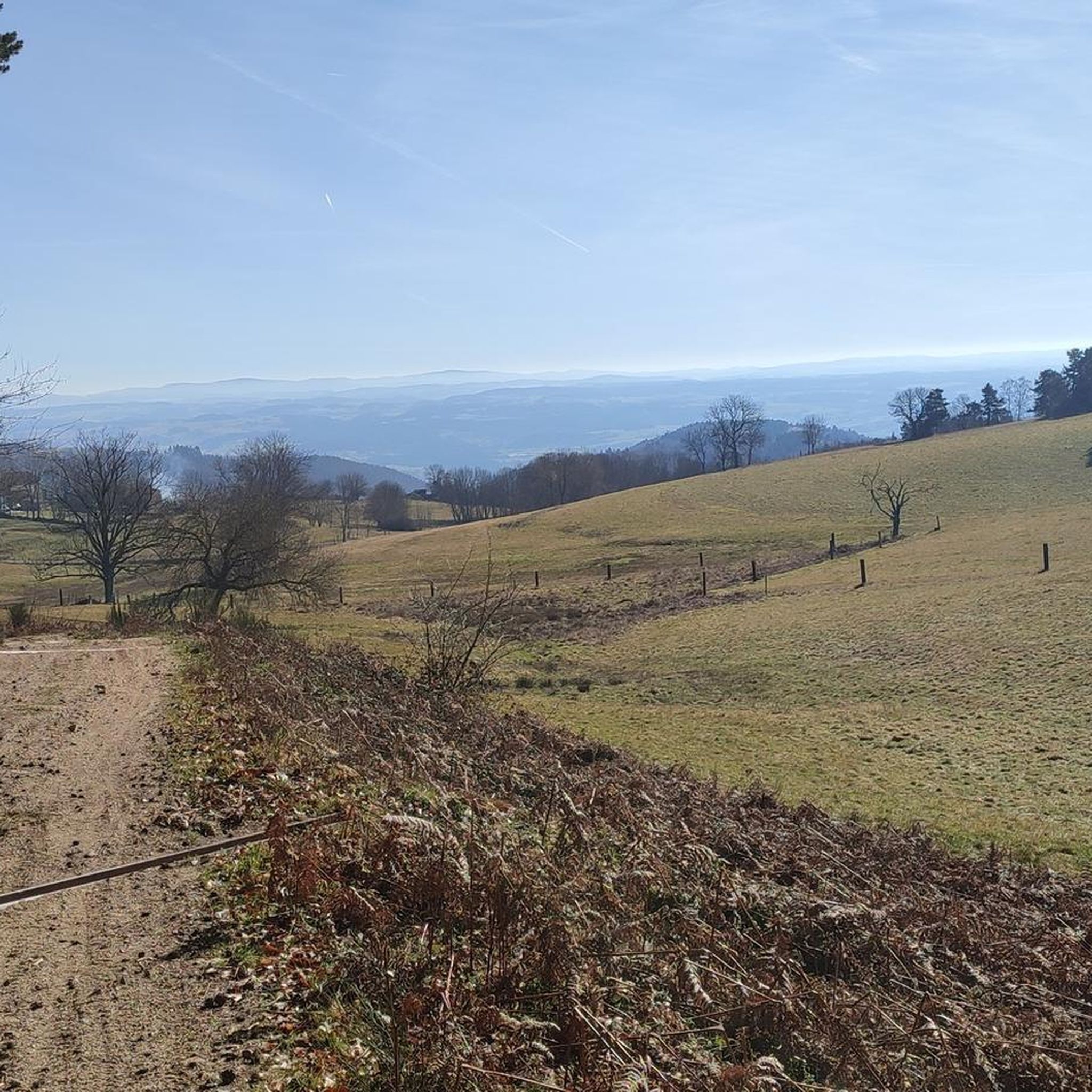
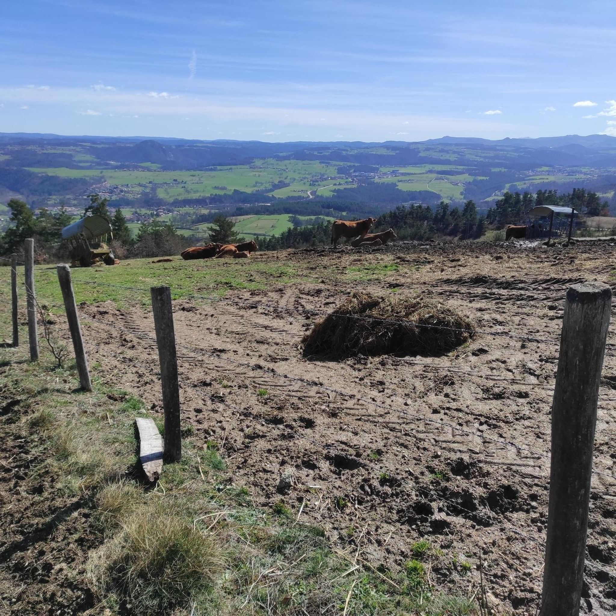
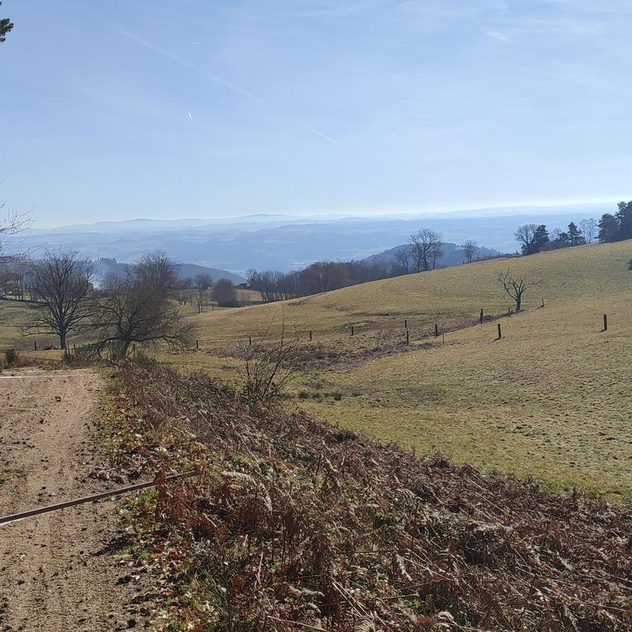

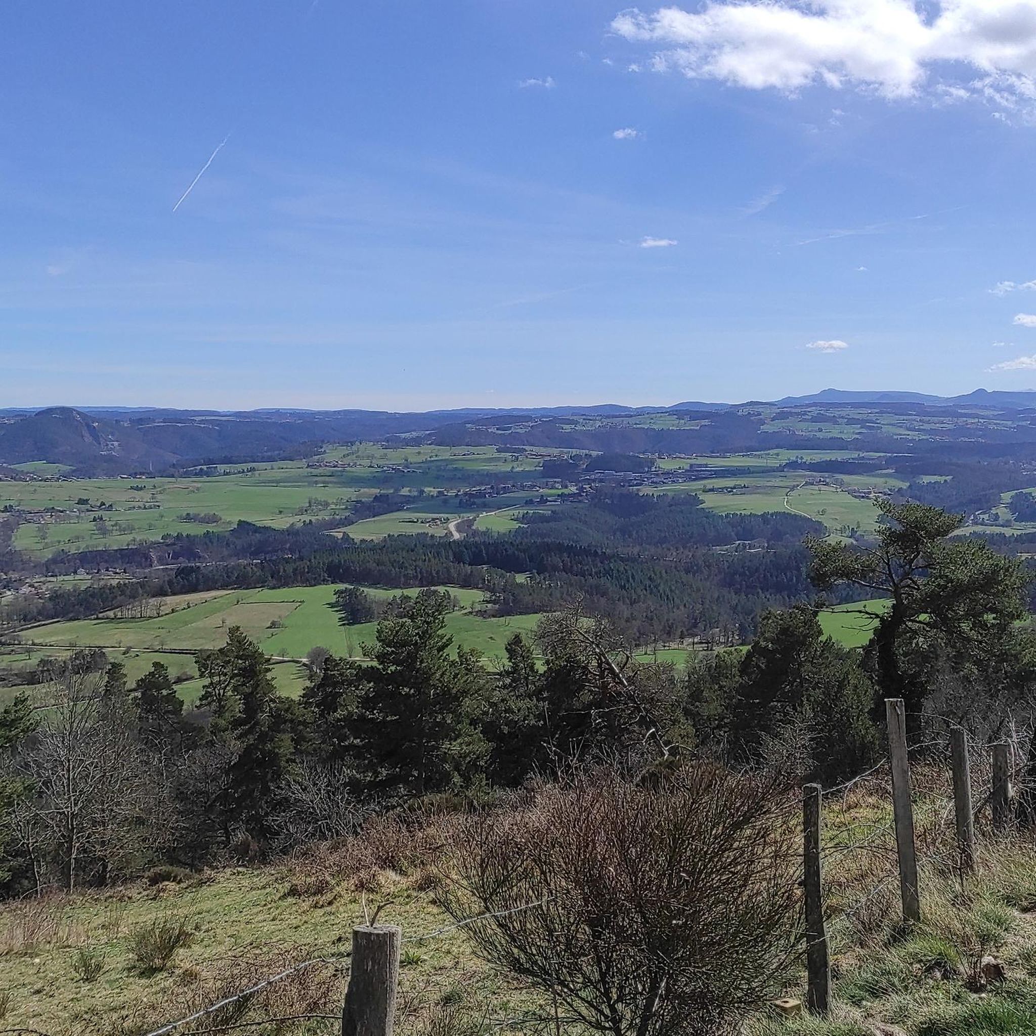
Tips from the Community


Bezan is a pleasant little lake, lined with walking paths which invite you to discover its history. Among other things, a pitch oven is open to the public and allows you to better understand how pitch was used to polish ropes and laces, but also to caulk barrels, boats and houses.
0
0
Frequently Asked Questions
How many hiking trails are available in Saint-Hilaire-Cusson-La-Valmitte?
There are over 170 hiking trails in Saint-Hilaire-Cusson-La-Valmitte, offering a wide range of options for all skill levels. The komoot community has explored these routes over 1,700 times, providing valuable insights and ratings.
Are there any easy, family-friendly hikes in the area?
Yes, Saint-Hilaire-Cusson-La-Valmitte offers numerous easy trails suitable for families. For instance, the Le Bezan loop from Saint-Hilaire-Cusson-la-Valmitte is an easy 5.8 km route through wooded landscapes. Another gentle option is the Le Bezan loop from Merle-Leignec, which is 4.3 km and takes about 1 hour 10 minutes.
Can I find trails with waterfalls or interesting water features?
Absolutely. The region is known for its picturesque waterways, including the Aigue Blanche river and the Cusson stream. The "Circuit des petites cascades" (Small Waterfalls Circuit) specifically guides hikers through the ravines of these rivers, showcasing the area's natural heritage and small waterfalls.
What kind of unique natural landmarks or rock formations can I see on a hike?
Saint-Hilaire-Cusson-La-Valmitte is home to several intriguing rock formations. You can discover the "Pierre-Siège de Saint-Martin," which has ancient, druidic associations, or visit "Les Roches du Mont," where stones carved with basins hint at a long history. The "Circuit des mégalithes" focuses on these ancient stone structures. For a specific route, consider Le Circuit des Pierres, which explores wooded landscapes and notable formations like the Pierre du Renard.
Are there any circular hiking routes available?
Yes, many trails in the area are designed as circular routes. Examples include the Le Bezan loop from Saint-Hilaire-Cusson-la-Valmitte and the Leignec Church – Le Bezan loop from Merle-Leignec. These loops allow you to start and end your hike in the same location, making planning easier.
What are the best trails for a moderate hiking experience?
For a moderate challenge, you might enjoy the Unusual loop from Saint-Hilaire-Cusson-la-Valmitte. This route covers approximately 11.1 km and offers a good balance of distance and elevation gain, taking you through varied terrain.
What do other hikers say about the trails in Saint-Hilaire-Cusson-La-Valmitte?
The hiking routes in Saint-Hilaire-Cusson-La-Valmitte are highly rated by the komoot community, with an average score of 4.6 stars from nearly 250 reviews. Hikers often praise the heavily wooded terrain, the picturesque river ravines, and the well-maintained paths that offer an immersive nature experience.
Are there any historical or cultural attractions to see while hiking?
Beyond natural features, the region offers glimpses into its history. The "Circuit des mégalithes" explores ancient stone structures. Additionally, nearby Merle-Leignec features trails that highlight local heritage elements like a wash house and a pitch oven. You can also explore nearby settlements like Montarcher or St Bonnet-le-Château, or visit the Roche-Cubertelle Dolmen.
Are there any long-distance hiking options or extended circuits?
Yes, for those seeking longer excursions, there are circuits along the Aigue Blanche river, such as Circuit B (18 km) and Circuit C (25 km). These routes follow the river through wild ravines down to the Loire, providing a more extensive hiking experience.
What kind of terrain can I expect on the trails?
The terrain in Saint-Hilaire-Cusson-La-Valmitte is quite varied. You'll find extensive wooded areas, including pine and beech groves, covering over 1000 hectares. Trails often traverse a forest plateau with elevations reaching around 980 meters. You can expect wide, easy paths along rivers, but also more technical sections along streams with mossy blocks and potentially slippery passages.
Are there any viewpoints or scenic overlooks on the hikes?
Yes, some trails offer rewarding views. Notably, on clear days, the "Circuit des petites cascades" provides views of Mont Blanc from its higher sections after ascending to the plateau, offering a spectacular panorama.
What is the best time of year to go hiking in Saint-Hilaire-Cusson-La-Valmitte?
The region's heavily wooded terrain, with extensive pine and beech groves, provides ample shade, making it pleasant for hiking during warmer months. The presence of rivers and waterfalls also adds to the appeal during spring and summer. However, the diverse landscapes are beautiful in autumn with changing foliage and can offer serene winter walks, though some sections might be slippery.
Most popular routes around Saint-Hilaire-Cusson-La-Valmitte
Most popular attractions around Saint-Hilaire-Cusson-La-Valmitte

Get inspired with the komoot mobile app


Explore more
Browse the best Hikes in other regions.
