The best road cycling routes around Saint-Hilaire-Cusson-La-Valmitte
4.4
(135)
2,469
riders
168
rides
Road cycling routes around Saint-Hilaire-Cusson-La-Valmitte traverse a varied topography within the Loire department of the Auvergne-Rhône-Alpes region in France. The area features elevations ranging from 640 to 977 meters, providing a landscape of hills and challenging ascents. Over 1,000 hectares of forests, including pine and beech stands, offer shaded sections for cyclists. Rivers such as the Bonson, Aigue-Blanche, and Beauvoir streams also flow through the commune, adding to the natural features encountered on rides.
Best road cycling routes around Saint-Hilaire-Cusson-La-Valmitte
…Last updated: July 15, 2026
5.0
(2)
96
riders
66.1km
03:19
1,000m
1,000m
Hard road ride. Very good fitness required. Mostly well-paved surfaces and easy to ride.
4.4
(5)
32
riders
63.2km
03:24
1,070m
1,070m
Hard road ride. Very good fitness required. Some segments of this route may be unpaved and difficult to ride.

Sign up for free
31
riders
70.8km
03:30
1,090m
1,090m
Hard road ride. Very good fitness required. Mostly well-paved surfaces and easy to ride.
13
riders
34.6km
01:47
540m
540m
Moderate road ride. Good fitness required. Mostly well-paved surfaces and easy to ride.
5.0
(1)
12
riders
55.5km
02:58
930m
930m
Hard road ride. Very good fitness required. Some segments of this route may be unpaved and difficult to ride.
Get access to more routes and recommendations from other explorers.
Sign up for free
Already have an account?
Our route recommendations are based on thousands of hikes, rides, and runs completed by other people on komoot.
Start today with a free account
Your next adventure awaits.
Login or Signup

Tips from the Community


Magnificent village promoting artists and artisans... a super nice café: La Pause Marolaise
0
0


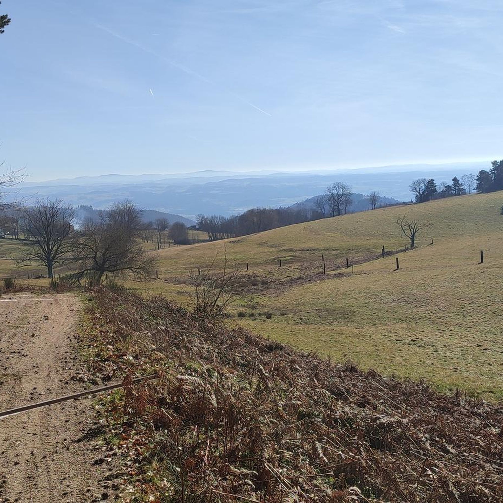
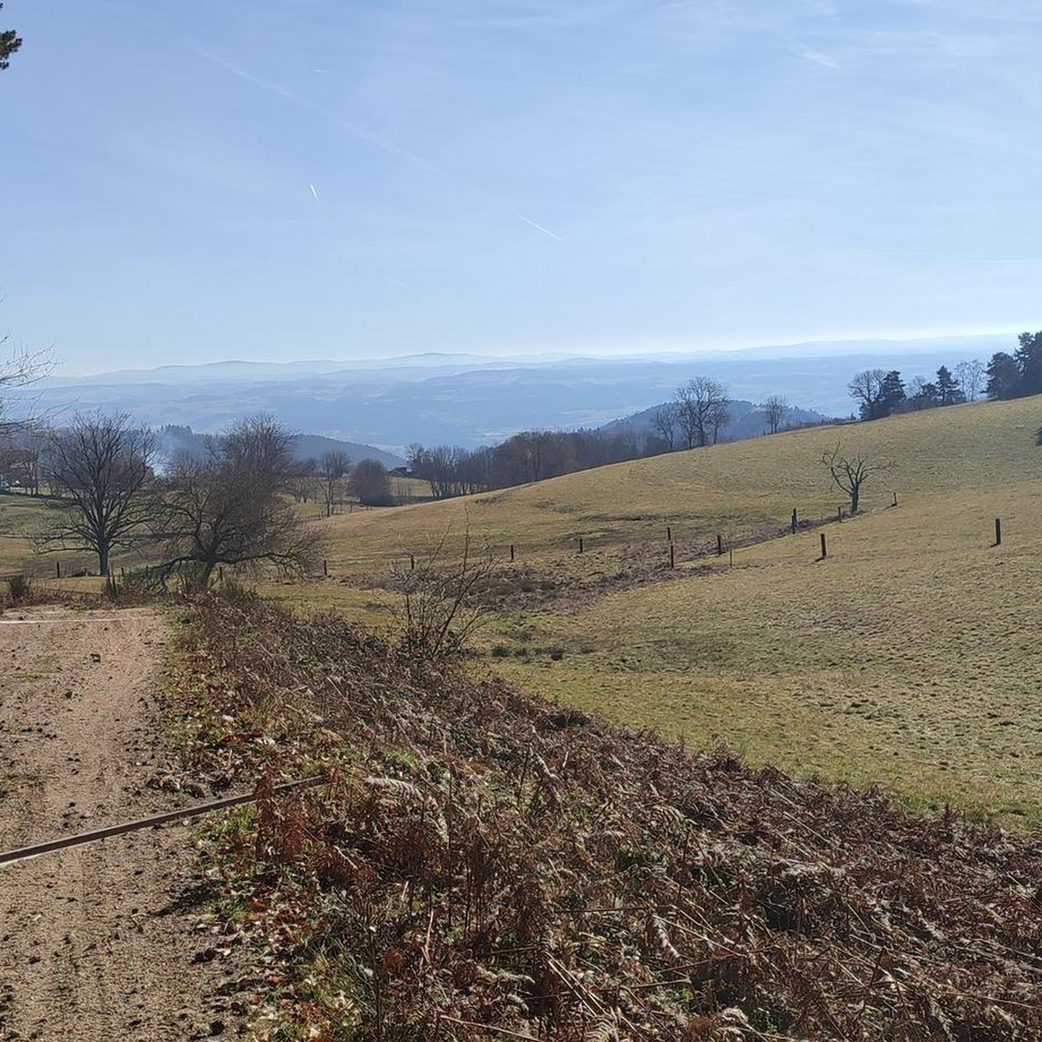
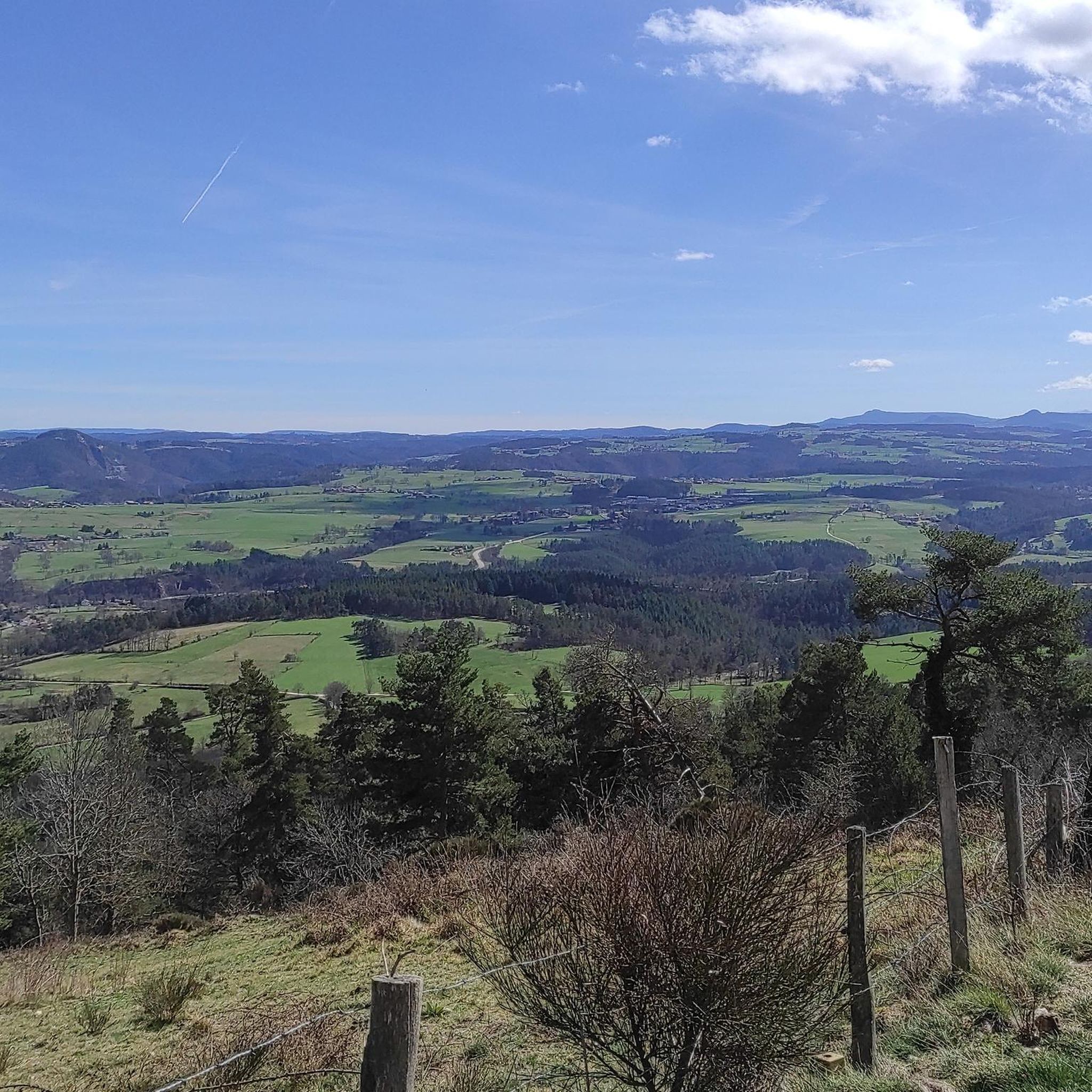
Magnificent view of the Loire
0
0

Ferréol is a small hamlet whose old volcanic stones bear witness to the rich geological history of the region. On its central square, a fountain allows you to fill your bottle with fresh water.
0
0

easy to drive bridge to get to the rise on the left side of the Loire
0
0

The climb is about 4 km long with an elevation gain of 280 m. The average steepness of the climb is around 5-6% although there are maximum gradients of 11% towards the summit.
0
0
Frequently Asked Questions
How many road cycling routes are available around Saint-Hilaire-Cusson-La-Valmitte?
There are over 150 road cycling routes around Saint-Hilaire-Cusson-La-Valmitte. These routes cater to various skill levels, with 3 easy, 57 moderate, and 93 difficult options.
What kind of terrain can I expect for road cycling in Saint-Hilaire-Cusson-La-Valmitte?
The region is characterized by varied elevation, ranging from 640 to 977 meters, offering a mix of challenging climbs and rewarding descents. You'll find hilly and mountainous sections, with many routes winding through over 1,000 hectares of scenic pine and beech forests, often on paved roads.
Are there any particularly challenging road cycling routes for experienced riders?
Yes, Saint-Hilaire-Cusson-La-Valmitte offers several challenging routes. For instance, the Côte de Saint-Maurice – Loire Bridge loop from Les Barraques is a difficult 65.9 km trail with significant climbs. Another demanding option is the Côte de Saint-Maurice – Hill climb alongside the Loire loop from Les Barraques, a 70.8 km path featuring substantial elevation changes and views of the Loire.
What scenic viewpoints or natural features can I discover along the road cycling routes?
The routes often pass through extensive forests and alongside rivers like the Bonson, Aigue-Blanche, and Beauvoir streams. You can also access breathtaking regional landscapes such as the Gorges de la Loire and enjoy 360° panoramas from the Monts du Forez, including spots like the Grande Pierre Bazanne.
Are there any historical or cultural landmarks to visit while cycling?
Absolutely. Cyclists can integrate visits to historical sites into their rides. Notable attractions include the charming settlement of Montarcher, the historic town of St Bonnet-le-Château, and the Valprivas castle. The region also features sites like Castle Rochebaron and Château de Chalencon.
What do other road cyclists enjoy most about the routes in Saint-Hilaire-Cusson-La-Valmitte?
The area is highly rated by the komoot community, with an average score of 4.4 stars from over 80 reviews. Cyclists frequently praise the varied terrain, the challenging ascents, and the beautiful, often shaded, forest sections. The scenic views of the Loire and the surrounding landscapes are also highly appreciated.
Are there any moderate road cycling routes that offer a good balance of challenge and scenery?
Yes, there are many moderate options. The Miners' Memorial Sculpture loop from La Tourette is a moderate 35.3 km route. Another popular choice is the View From Montarcher Cross loop from Saint-Nizier-de-Fornas, a 46.5 km route that offers a good workout with rewarding views.
When is the best time of year to go road cycling in Saint-Hilaire-Cusson-La-Valmitte?
Given the varied elevation and extensive forests, spring and autumn generally offer the most pleasant conditions for road cycling, with milder temperatures and beautiful foliage. Summer can also be enjoyable, especially on routes that pass through shaded forest sections, though some climbs might be more strenuous in warmer weather.
Are there any circular road cycling routes available?
Many of the routes in the region are designed as loops, allowing you to start and finish at the same point. For example, the Montarcher – Montarcher church loop from Saint-Nizier-de-Fornas is a 65.8 km circular trail that takes you through hilly terrain and past cultural landmarks.
Can I find paved cycling trails suitable for road bikes?
Yes, the region offers numerous paved sections, often referred to as 'goudronné,' which are ideal for road bikes. The extensive network of roads connecting the communes and passing through forests provides ample opportunities for smooth cycling.
Are there any attractions near Saint-Hilaire-Cusson-La-Valmitte that are worth exploring after a ride?
Beyond the cycling routes, you can explore charming settlements like Marols or visit the impressive Aurec-sur-Loire Himalayan footbridge for a unique experience.
Most popular routes around Saint-Hilaire-Cusson-La-Valmitte
Most popular attractions around Saint-Hilaire-Cusson-La-Valmitte

Get inspired with the komoot mobile app


Explore more
Browse the best Road cycling routes in other regions.
