The best running trails around Saint-Germain-La-Montagne
5.0
(3)
900
runners
106
runs
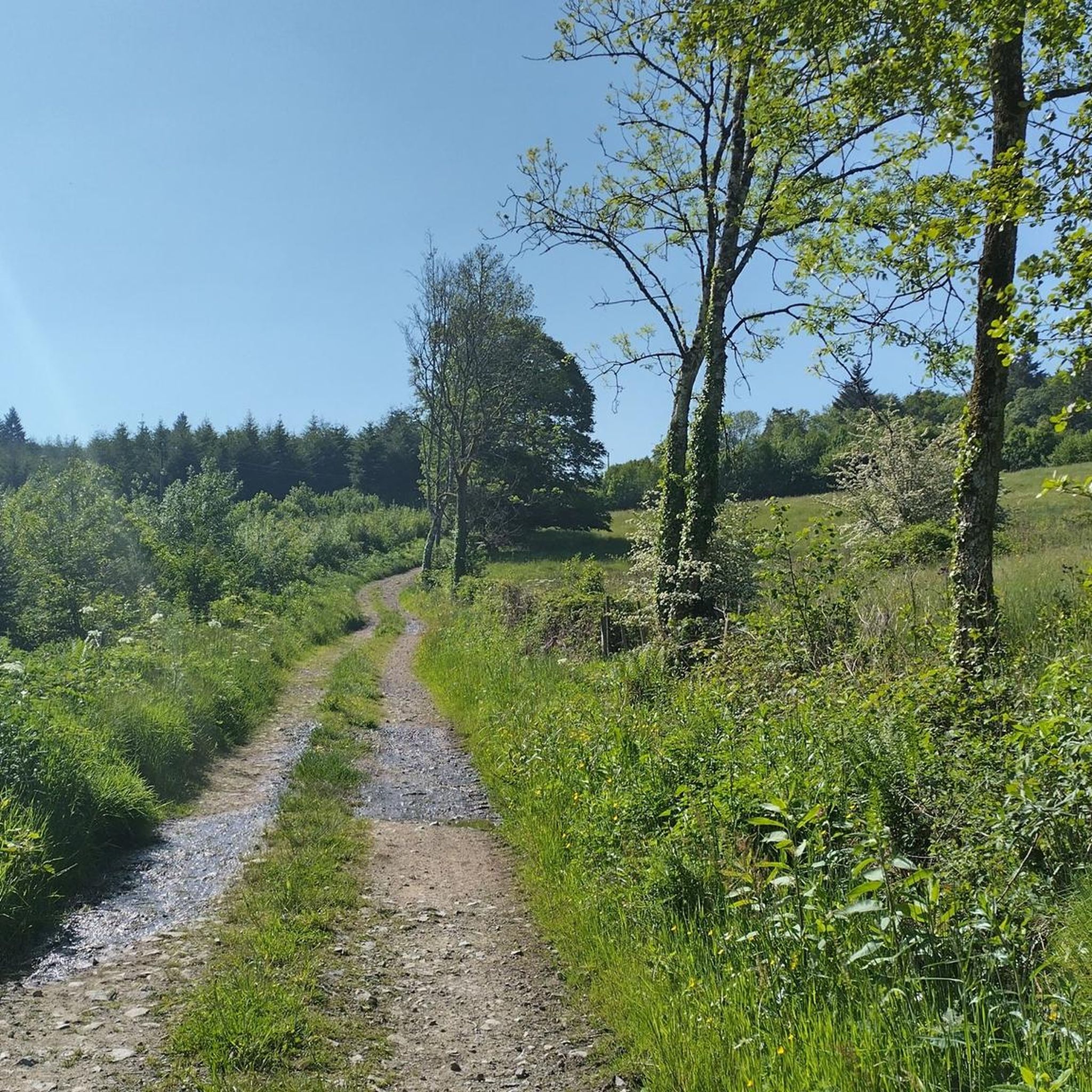
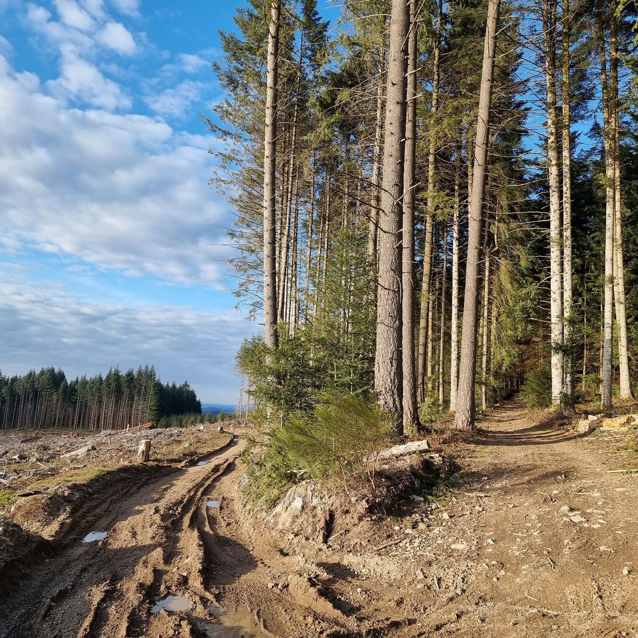
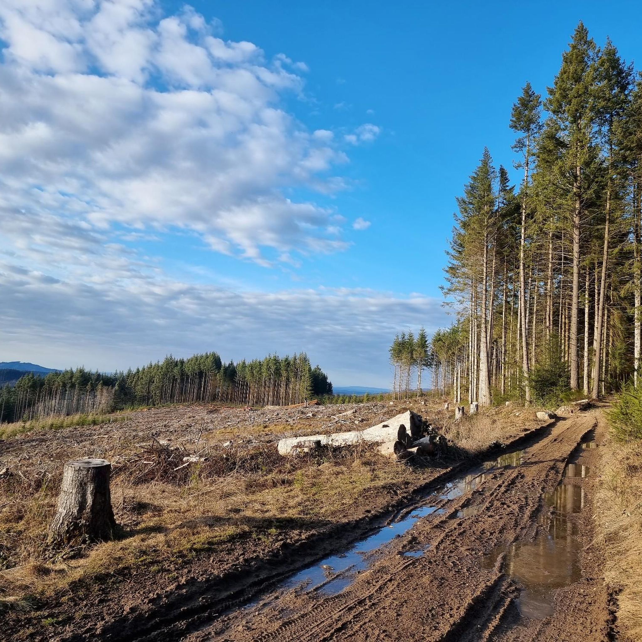
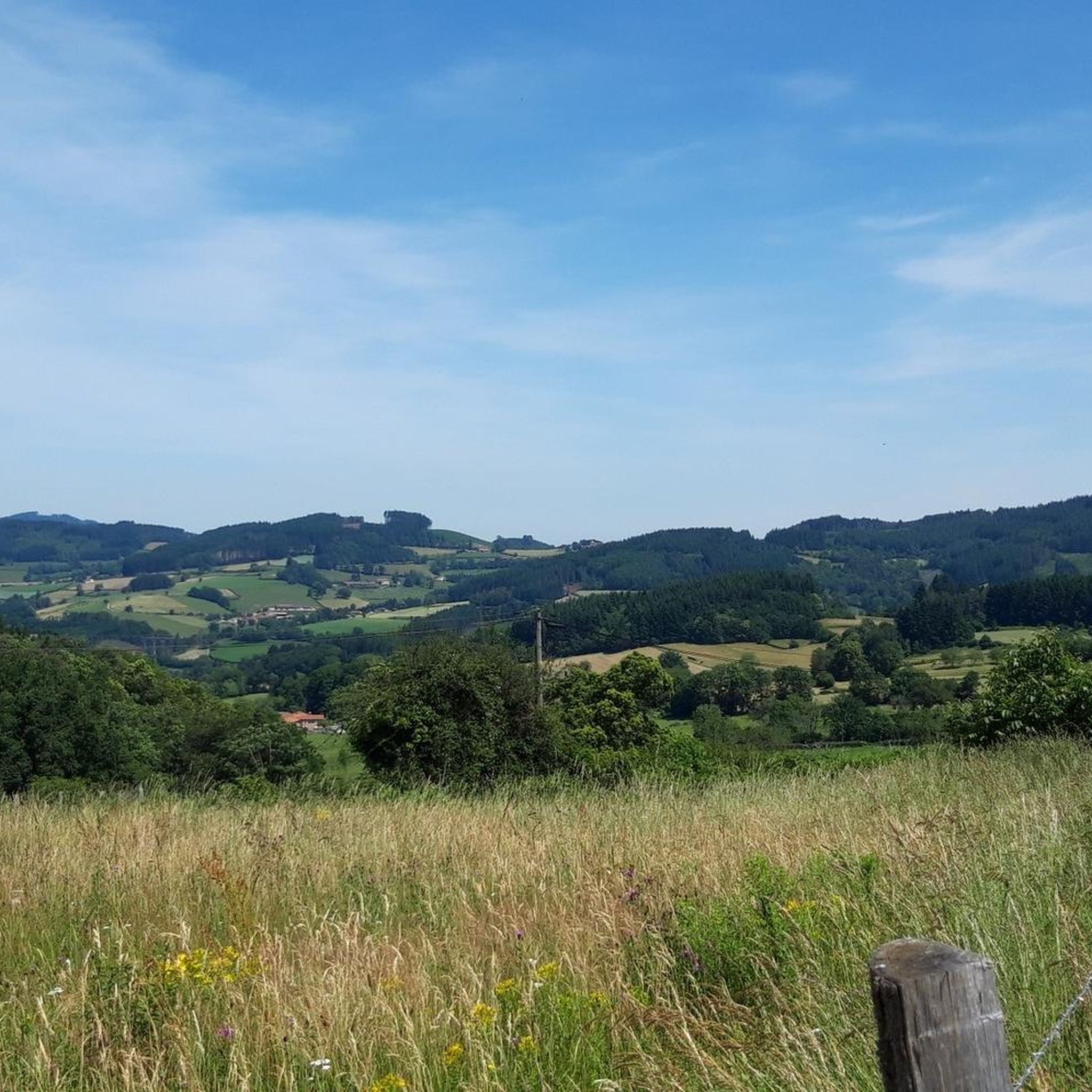
Jogging routes Saint-Germain-La-Montagne traverse a landscape characterized by rolling hills and forests in the Loire department. The area features diverse terrain, with elevations ranging from 434 to 721 meters, offering both ascents and descents suitable for running. Influenced by the nearby Massif Central and bordering the Beaujolais region, the trails provide varied natural environments.
Best jogging routes around Saint-Germain-La-Montagne
- The most popular jogging route is Running loop from Belmont-de-la-Loire, an 8.5 miles (13.6 km) trail that takes 1 hour…
Last updated: July 11, 2026
11
runners
38.2km
05:07
1,460m
1,460m
Hard run. Very good fitness required. Mostly paved surfaces. Suitable for all skill levels.
9
runners
21.6km
02:31
600m
600m
Hard run. Very good fitness required. Mostly paved surfaces. Suitable for all skill levels.

Sign up for free
4
runners
12.4km
01:26
310m
310m
Hard run. Very good fitness required. Mostly paved surfaces. Suitable for all skill levels.
4
runners
11.6km
01:17
250m
250m
Moderate run. Good fitness required. Mostly paved surfaces. Suitable for all skill levels.
3
runners
13.7km
01:31
270m
270m
Moderate run. Good fitness required. Mostly paved surfaces. Suitable for all skill levels.
Get access to more routes and recommendations from other explorers.
Sign up for free
Already have an account?
Our route recommendations are based on thousands of hikes, rides, and runs completed by other people on komoot.
Start today with a free account
Your next adventure awaits.
Login or Signup
Tips from the Community


Great walk. Beautiful view with picnic tables and tap with drinking water. However, NOT an easy walk. You must be able to walk well.
0
0

This summit houses a chapel, but it was previously a strong defensive position. From the Arab invasions in 730 to the successive Norman and Hungarian invasions, this stronghold has resisted. It was not until 1180 that the fortress fell into the hands of King Philippe Auguste, who destroyed it but spared the chapel. The summit offers magnificent views.
3
0

The Viaduc de Mussy-sous-Dun is a railway bridge that was finished in 1895. It is 60m in height and 561m in length.
1
0

Large and shaded well-maintained picnic area.
0
0

Pass to do in the sequence between the Ecorbans and the Echarmeaux. No big drop offs, fairly gritty road, wide and few viewpoints. Well shaded and fairly uncrowded road. It doesn't look like it's a pass and yet!
0
0

Built for transporting military equipment by railroad. decommissioned.
0
0
Frequently Asked Questions
How many running routes are available in Saint-Germain-La-Montagne?
There are nearly 100 running routes around Saint-Germain-La-Montagne, offering a wide variety of options for different skill levels and preferences.
What kind of terrain can I expect on the running trails in this region?
The running trails in Saint-Germain-La-Montagne feature a diverse landscape of rolling hills and forests. You'll encounter varied terrain with elevations ranging from 434 to 721 meters, providing a mix of ascents and descents. The area is influenced by the nearby Massif Central and borders the Beaujolais region, contributing to its scenic and varied natural environment.
Are there running routes suitable for beginners or those looking for an easier run?
While many routes are classified as moderate to difficult, there are a few easier running options available. The region's diverse terrain ensures that you can find paths that match your fitness level.
What do other runners enjoy most about jogging in Saint-Germain-La-Montagne?
The running routes in Saint-Germain-La-Montagne are highly rated by the komoot community, with an average score of 4.2 stars from over 9 reviews. Runners often praise the varied terrain, the challenging ascents, and the immersive natural experience through peaceful woods and scenic viewpoints.
Are there any long-distance running options for experienced runners?
Yes, for experienced runners seeking a challenge, routes like La Roche d'Ajoux – Mount Saint-Rigaud loop from Saint-Igny-de-Vers offer significant distances. This particular trail covers 23.6 miles (37.9 km) through hilly landscapes and past notable features.
Can I find circular running routes in the area?
Many of the running routes around Saint-Germain-La-Montagne are designed as loops, allowing you to start and finish at the same point. An example is the Running loop from Belmont-de-la-Loire, which is an 8.5-mile trail.
Are there any scenic viewpoints or landmarks along the running trails?
Absolutely. Trails often lead to expansive views of the surrounding countryside, including the Monts du Beaujolais and the Monts de la Madeleine. You can also find routes that pass by landmarks such as Mount Saint-Rigaud, Croix d'Ajoux, and Mount Dun.
What is the best time of year for running in Saint-Germain-La-Montagne?
The region experiences a semi-continental climate with mountainous influences. Spring and autumn generally offer pleasant temperatures for running. Summer can be warm, while winter may bring colder conditions, especially at higher elevations. Checking local weather forecasts before your run is always recommended.
Are there places to rest or picnic along the running routes?
Yes, some trails offer convenient spots for rest. For instance, the "Chemin de Lafay – PR 2" (a local trail network) mentions a playground and picnic area at the "Croix du Plat," which can be a good spot for a break or post-run relaxation.
Is there parking available near the running routes?
While specific parking details for every route are not listed, many trailheads in rural areas like Saint-Germain-La-Montagne typically have designated parking areas or roadside spots. It's advisable to check the starting point of your chosen route for specific parking information.
Can I combine running with cultural exploration in the area?
Yes, the region offers opportunities to combine physical activity with cultural exploration. Nearby historical towns like Charlieu, with its Benedictine abbey, and Roanne, known for its gastronomy, are within reasonable distance for a visit after your run.
Are the running trails suitable for families?
The varied terrain means some routes might be challenging for younger children. However, with nearly 100 routes, you can likely find shorter, less strenuous paths that are more suitable for family outings. Look for routes with lower elevation gain and shorter distances.
Are dogs allowed on the running trails?
Generally, dogs are permitted on trails in rural France, especially if kept on a leash. However, specific regulations can vary by commune or protected natural areas. It's always best to check local signage or official tourism resources for any restrictions on specific trails.
Most popular routes around Saint-Germain-La-Montagne
Most popular attractions around Saint-Germain-La-Montagne

Get inspired with the komoot mobile app


Explore more
Browse the best Running Trails & Routes in other regions.
