The best walks and hikes around Saint-Germain-La-Montagne
4.5
(244)
1,207
hikers
133
hikes
Hiking around Saint-Germain-La-Montagne offers access to a landscape characterized by extensive forests, rolling hills, and river valleys. The region features diverse terrain, including forest roads, plateaus, and rocky areas, with notable natural elements such as the Ain river and its source. Trails often traverse varied environments, from dense woodlands to dry grasslands.
Best hiking trails around Saint-Germain-La-Montagne
- The most popular hiking route is Croix d'Ajoux – La Roche d'Ajoux loop from Propières, a 6.3 miles (10.1 km) trail that takes 3 hours 6 minutes to complete. This moderate route offers views across the surrounding hills and through forested sections.
- Another top favourite among local hikers is Blue Cross and Picnic Area – Croix de Jouxson loop from Belmont-de-la-Loire, a moderate 8.9 miles (14.4 km) path. This trail navigates through varied forest terrain and open areas.
- Local hikers also love the La Roche d'Ajoux – Mount Saint-Rigaud loop from Propières, a 12.9 miles (20.8 km) trail leading through dense woodlands and offering significant elevation gain, often completed in about 6 hours 20 minutes.
- Hiking around Saint-Germain-La-Montagne is defined by its extensive forests, river valleys, and varied plateaus. The network of trails offers options for easy walks as well as more challenging ascents.
- The routes in Saint-Germain-La-Montagne are highly rated by the komoot community with an average score of 4.5 stars from over 200 reviews. More than 1000 hikers have used komoot to explore Saint-Germain-La-Montagne's varied terrain.
Last updated: July 3, 2026
4.8
(15)
65
hikers
27.8km
08:00
690m
690m
Hard hike. Very good fitness required. Easily-accessible paths. Suitable for all skill levels.
4.6
(8)
32
hikers
10.1km
03:06
360m
360m
Moderate hike. Good fitness required. Easily-accessible paths. Suitable for all skill levels.

Sign up for free
4.5
(2)
10
hikers
Moderate hike. Good fitness required. Easily-accessible paths. Suitable for all skill levels.
4
hikers
20.7km
06:23
750m
750m
Hard hike. Very good fitness required. Easily-accessible paths. Suitable for all skill levels.
6
hikers
8.51km
02:32
260m
260m
Moderate hike. Good fitness required. Easily-accessible paths. Suitable for all skill levels.
Get access to more routes and recommendations from other explorers.
Sign up for free
Already have an account?
Our route recommendations are based on thousands of hikes, rides, and runs completed by other people on komoot.
Start today with a free account
Your next adventure awaits.
Login or Signup
Tips from the Community

The white stone cross stands out well against the beautiful landscape. This small sacred monument rests on a gray base, above which rise the cross's longitudinal and transverse beams. It does not depict the body of Christ. A special feature is the design of the crossing point: there, another cross is engraved, surrounded by rays. This type of depiction is very rare.
0
0

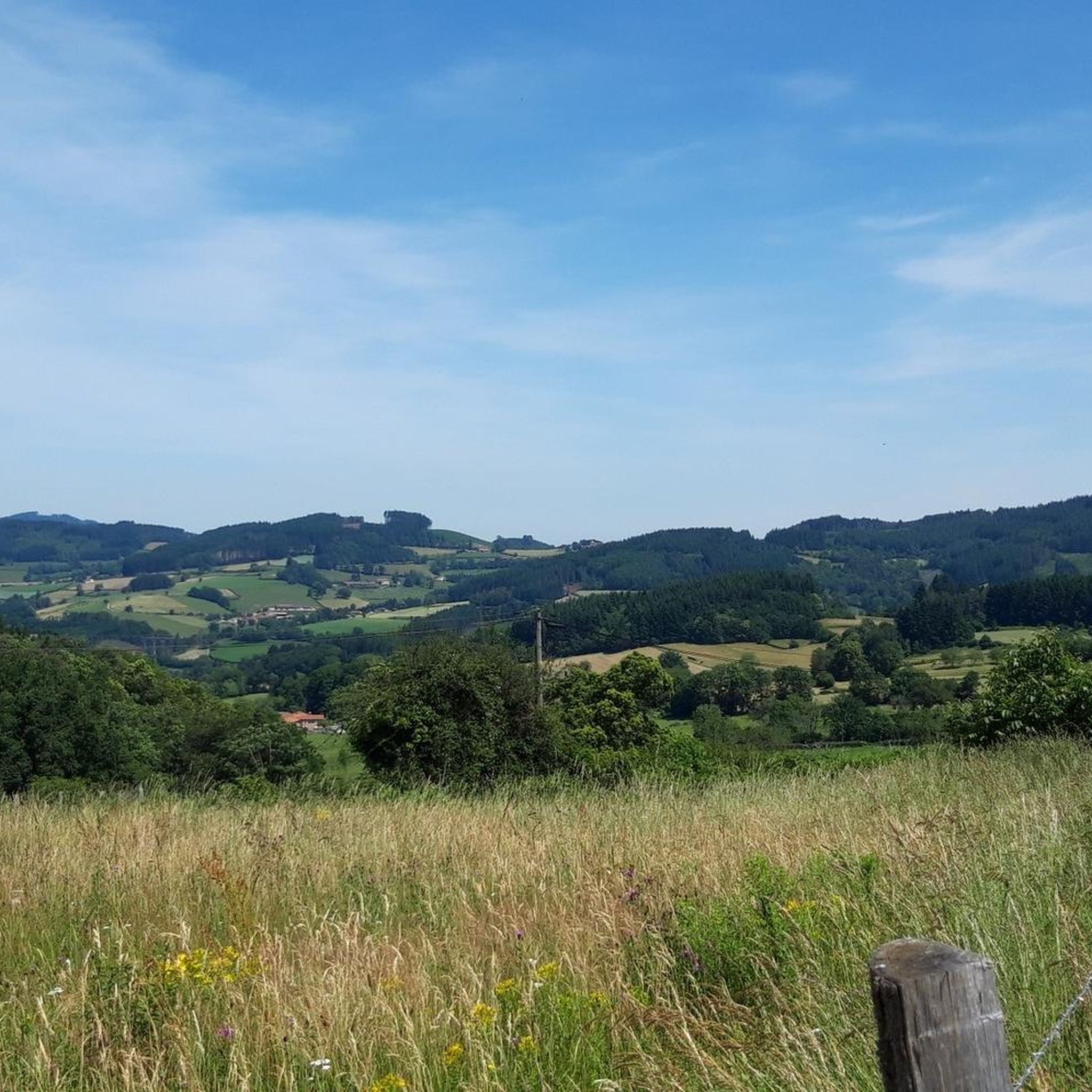
The roof of the Rhône, beautiful view of the upper Beaujolais
1
0
The clearing in the forest is the site of a small sacred monument: a statue of the Virgin Mary, known as the "Vierge du Mont Joly." The stone statue, which is not painted, stands on a brick base. The inscription reads "O! Marie, we have established our guardian." The figure is a work by Jean Molette (1819-1889) from 1884.
0
0

La source miraculeuse du Mont Saint Rigaud is also visited by many young women who wish to have children.
1
1

Great area for a vacation. We recommend.
2
0

Wonderful stage stop on my Camino https://huettemann.eu/de/2023/10/von-cluny-an-die-loire-berndscamino/
0
0
Wonderful stage stop on my Camino https://huettemann.eu/de/2023/10/von-cluny-an-die-loire-berndscamino/
0
0
Wonderful stage stop on my Camino https://huettemann.eu/de/2023/10/von-cluny-an-die-loire-berndscamino/
0
0
Frequently Asked Questions
How many hiking trails are available around Saint-Germain-La-Montagne?
There are over 130 hiking routes available around Saint-Germain-La-Montagne, catering to various difficulty levels. You'll find a good mix of easy, moderate, and challenging trails to explore the region's diverse landscapes.
What kind of terrain can I expect on hikes around Saint-Germain-La-Montagne?
The terrain around Saint-Germain-La-Montagne is quite varied. You can expect to hike through extensive forests, along forest roads, across plateaus, and through river valleys. Some paths feature dry grasslands, mossy thickets, and rocky areas, offering a diverse experience for hikers.
Are there any family-friendly hiking options in Saint-Germain-La-Montagne?
Yes, the region offers several easier routes suitable for families. While specific family-designated trails aren't listed, many of the 34 easy routes provide gentle walks through forests and along the Ain river, perfect for a leisurely outing. For example, the 5.78 km trail around the Pertes de l'Ain is generally considered easier and offers stunning views.
Can I find circular hiking routes in the area?
Yes, many of the hiking routes around Saint-Germain-La-Montagne are circular. For instance, the Croix d'Ajoux – La Roche d'Ajoux loop from Propières is a popular moderate circular trail, and the Blue Cross and Picnic Area – Croix de Jouxson loop from Belmont-de-la-Loire also offers a circular experience through varied forest terrain.
Are there any notable natural features or landmarks to see while hiking?
Absolutely. The region is rich in natural beauty. You can explore the dramatic Pertes de l'Ain, where the river carves through rocky formations, and visit the tranquil Source de l'Ain, the river's natural origin. The Cascade du Moulin du Saut is a captivating 15-meter waterfall. Additionally, you might encounter highlights like Mount Saint-Rigaud or Mount Dun, offering impressive views.
What are the options for challenging hikes in Saint-Germain-La-Montagne?
For those seeking a challenge, Saint-Germain-La-Montagne has 9 difficult routes. A notable option is the La Roche d'Ajoux – Mount Saint-Rigaud loop from Propières, a 20.8 km trail with significant elevation gain, often taking over 6 hours to complete. These routes typically lead through dense woodlands and offer more strenuous ascents.
Is Saint-Germain-La-Montagne suitable for dog-friendly hikes?
Many trails in the forested areas around Saint-Germain-La-Montagne are suitable for hiking with dogs, provided they are kept under control, especially near wildlife or livestock. It's always recommended to check local regulations for specific trails or protected areas regarding dogs.
What do other hikers say about the trails in Saint-Germain-La-Montagne?
The trails in Saint-Germain-La-Montagne are highly rated by the komoot community, with an average score of 4.5 stars from over 200 reviews. Hikers often praise the diverse landscapes, the well-maintained paths through extensive forests, and the stunning natural features like the Ain river and its waterfalls.
Are there any viewpoints offering panoramic views?
Yes, several points along the hiking routes provide expansive views. The Forêt de la Joux, for instance, has paths leading to points like the Belvédère de la Roche. Additionally, trails around Mount Saint-Rigaud and Mount Dun offer panoramic vistas of the Jura mountains and surrounding forests.
What is the best time of year to go hiking in Saint-Germain-La-Montagne?
The region is beautiful throughout the warmer months, from spring to autumn, when the forests are lush and the waterfalls are active. Spring brings wildflowers, while autumn offers vibrant foliage. Summer is also popular, but it's advisable to start early to avoid the midday heat. Some trails may be accessible in winter, but conditions can be challenging with snow and ice.
Are there any historical sites or ruins along the trails?
Yes, some trails incorporate historical elements. For example, routes exploring the Pertes de l'Ain may lead past the ruins of Château Villain. The region's history is subtly woven into the landscape, with ancient stone remnants and old villages sometimes encountered on longer hikes.
Where can I find parking for hiking trails?
Parking is generally available at the starting points of many popular trails and in nearby villages. For example, routes like the Croix d'Ajoux – La Roche d'Ajoux loop start from Propières, where parking facilities are typically present. It's advisable to check specific trailhead information for the best parking options.
Most popular routes around Saint-Germain-La-Montagne
Most popular attractions around Saint-Germain-La-Montagne

Get inspired with the komoot mobile app


Explore more
Browse the best Hikes in other regions.
