The best running trails around Saint-Sauveur-En-Rue
4.6
(76)
3,498
runners
193
runs
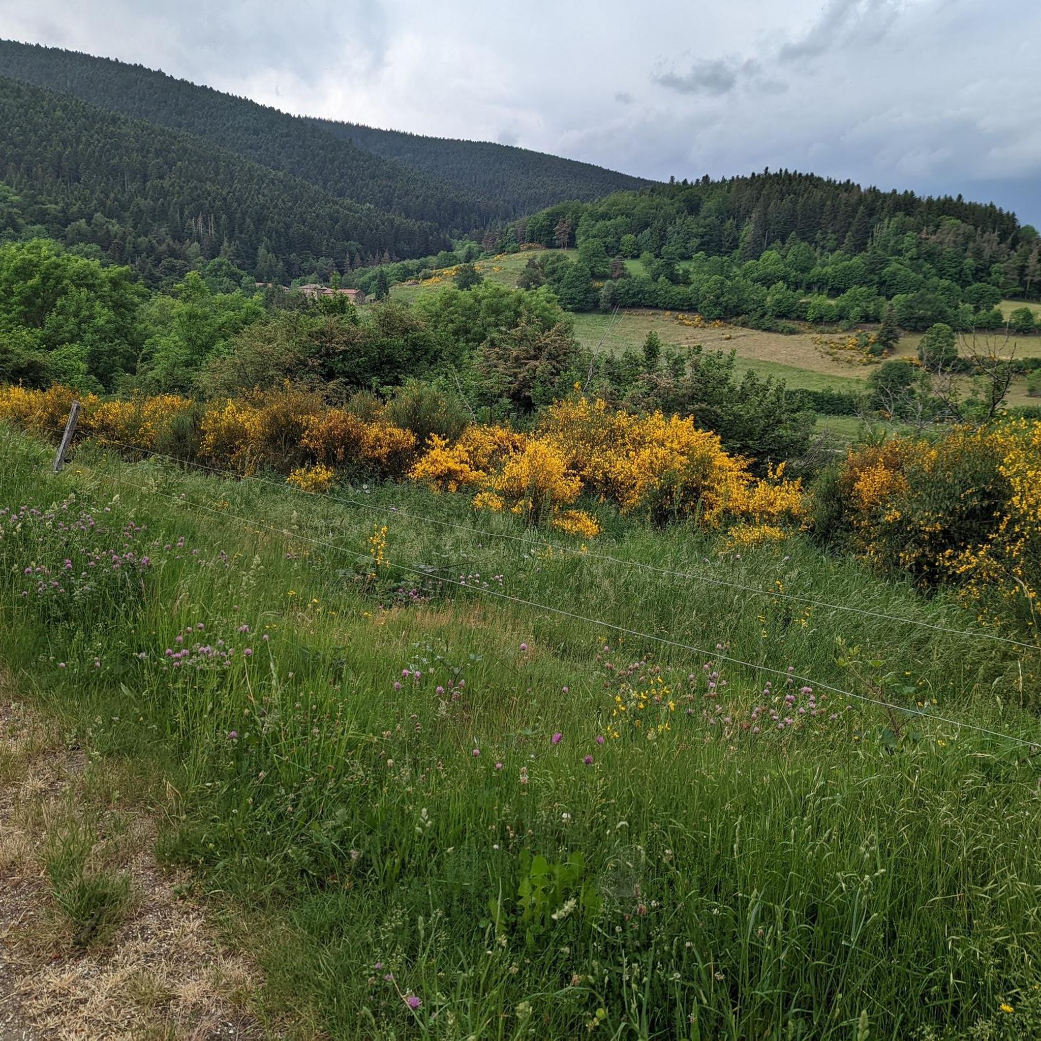
Jogging routes around Saint-Sauveur-En-Rue offer diverse landscapes within the Auvergne-Rhône-Alpes region of France. The area is characterized by extensive networks of trails through the Forêt de Taillard and around the Gimel Peat Bogs. Situated within the Pilat Natural Regional Park, the terrain includes a mix of quiet roads, good paths, and trails, with some routes featuring notable elevation changes. This environment provides varied options for outdoor activities.
Best jogging routes around Saint-Sauveur-En-Rue
- The most popular jogging route is Crêt de…
Last updated: June 29, 2026
5.0
(3)
118
runners
15.8km
02:01
400m
400m
Hard run. Very good fitness required. Mostly paved surfaces. Suitable for all skill levels.
55
runners
19.5km
02:27
470m
470m
Hard run. Very good fitness required. Mostly paved surfaces. Suitable for all skill levels.

Sign up for free
6
runners
11.4km
01:23
240m
240m
Moderate run. Good fitness required. Mostly paved surfaces. Suitable for all skill levels.
5
runners
7.86km
00:58
130m
130m
Moderate run. Good fitness required. Mostly paved surfaces. Suitable for all skill levels.
5
runners
13.2km
01:36
380m
370m
Hard run. Very good fitness required. Mostly paved surfaces. Suitable for all skill levels.
Get access to more routes and recommendations from other explorers.
Sign up for free
Already have an account?
Our route recommendations are based on thousands of hikes, rides, and runs completed by other people on komoot.
Start today with a free account
Your next adventure awaits.
Login or Signup
Popular around Saint-Sauveur-En-Rue



Tips from the Community

Interview with the Alps at the level of the megalithic remains.
0
0

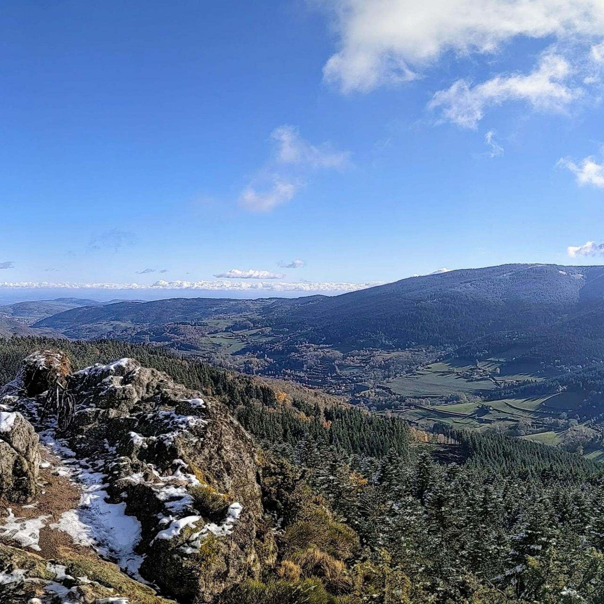
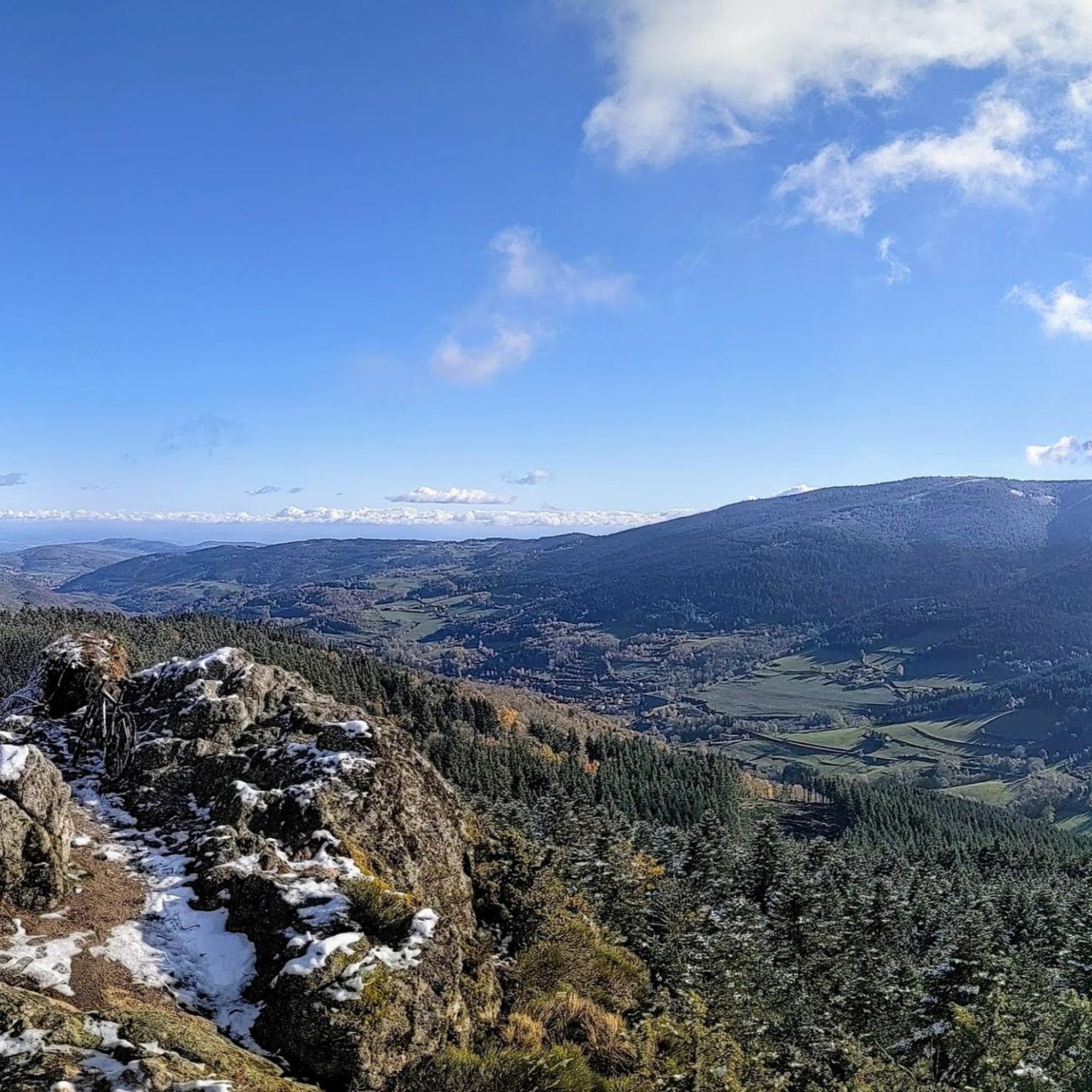
This megalithic site is known as Gnaorou. This name does not appear on IGN maps. It is a word from the local dialect, meaning “in the clouds”. The place offers a magnificent panorama of the Alps.
0
0
The Gimel peat bog is located at an altitude of 1,200 meters. It is one of the sources of the Dunerette. The marsh forms a bulge and contains a mosaic of plant groups. It has the particularity of having never been exploited for its peat.
0
0
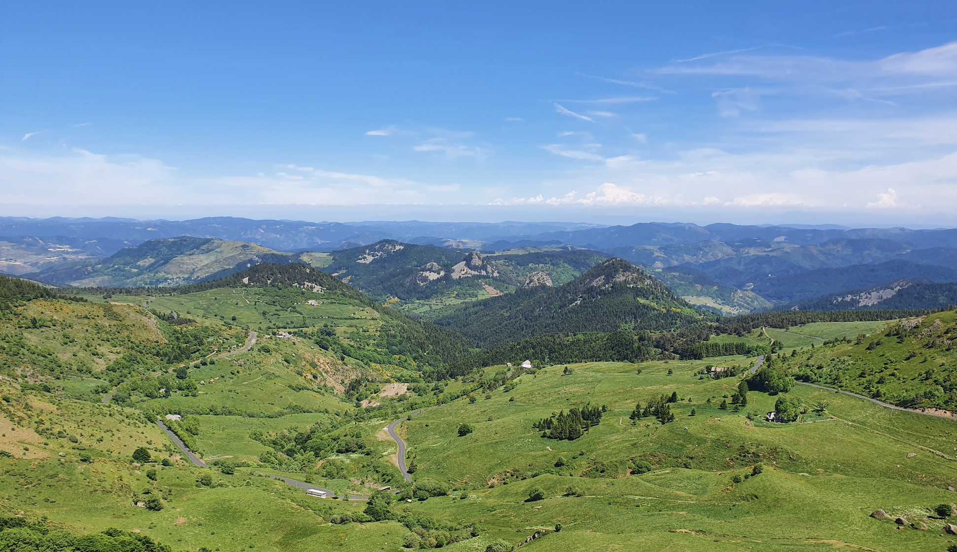
Crêt de Chaussître is located at the southern end of Pilat. It offers a beautiful panorama of the Monts du Velay, Mont Mezenc, the Yssingeaux juices and the high plateaus of Forez.
0
0

By mountain bike, the northern accesses are difficult, large stones, very technical. Access by chemin du Teil easier but steep and partly paved. My favorite access is through the east in the woods from Prélager (before arriving at the picnic area, take the small grassy path on the left which descends slightly)
0
0
Path laid out in wood, accessible to strollers.
1
0

A primitive lake transformed into a bog over the years, colonized by mosses and vegetation. The best known and surely the most beautiful of the Pilat Regional Natural Park.
1
0
Frequently Asked Questions
How many running routes are available around Saint-Sauveur-En-Rue?
There are over 160 diverse running routes available around Saint-Sauveur-En-Rue, catering to various fitness levels. These include 3 easy, 92 moderate, and 74 difficult trails, ensuring options for every runner.
What kind of terrain can I expect on the jogging trails in this region?
The region around Saint-Sauveur-En-Rue offers a varied terrain, including very quiet roads, good paths, and trails. You'll find routes through the Forêt de Taillard, around the Gimel Peat Bogs, and near the Pilat Natural Regional Park, with some featuring significant elevation changes for a good workout.
Are there any family-friendly running paths suitable for beginners?
Yes, Saint-Sauveur-En-Rue offers several easier routes. For instance, there are 3 routes classified as 'easy' that are generally suitable for families or beginners looking for a less strenuous run. These paths often provide a gentle introduction to the area's natural beauty.
Can I bring my dog on the running trails near Saint-Sauveur-En-Rue?
Many trails in natural areas like the Forêt de Taillard and around the Gimel Peat Bogs are generally dog-friendly, though it's always advisable to keep your dog on a leash, especially in protected areas or near livestock. Always check local signage for specific regulations.
What are some scenic viewpoints or natural features I can see while running?
Many routes offer rewarding views. You might encounter points overlooking Montchal and the Forêt de Taillard, or even vistas towards the Alpine massif on clear days. Notable natural features include the Gimel Peat Bogs and the Le Gnaorou area. The Crêt de Chaussître also offers panoramic views.
Are there any circular running routes in the area?
Yes, many of the running routes around Saint-Sauveur-En-Rue are circular, allowing you to start and finish at the same point. An example is the Crêt de Chaussître – Chaussitre Cross loop from Saint-Régis-du-Coin, which is a popular 14.9 km trail.
What do other runners enjoy most about jogging in Saint-Sauveur-En-Rue?
The area is highly rated by the komoot community, with an average score of 4.5 stars from over 70 reviews. Reviewers often praise the varied terrain, the beautiful natural settings like the Forêt de Taillard and Gimel Peat Bogs, and the challenging elevation changes that offer a great workout.
Are there any routes that pass by interesting landmarks or attractions?
Yes, some routes will take you near interesting points. For example, the 'Circuit de Rû' passes near the Château de Rû. You can also find routes that lead to natural monuments like Chaubouret Cross or offer views of the Pas-du-Riot Dam.
What is a good moderate-difficulty running route for an intermediate runner?
For an intermediate runner, the Le Gnaorou loop from Col de la République is a great choice. This 13.2 km trail is rated as moderate difficulty and takes about 1 hour 35 minutes to complete, offering a rewarding experience through scenic areas.
Are there longer, more challenging running trails for experienced athletes?
Absolutely. Experienced runners can tackle routes like the Chaussitre Cross loop from Saint-Régis-du-Coin. This difficult 19.5 km path provides expansive views and varied terrain through the surrounding hills, perfect for a longer, more demanding run.
Is there a shorter running loop suitable for a quick workout?
Yes, for a quicker run, consider the Running loop from Saint-Régis-du-Coin. This moderate 9.7 km route can be completed in about 1 hour 10 minutes, offering a good workout without taking up too much time.
What is the best time of year to go running in Saint-Sauveur-En-Rue?
The diverse landscapes of Saint-Sauveur-En-Rue are enjoyable throughout much of the year. Spring and autumn offer pleasant temperatures and beautiful scenery, while summer provides longer daylight hours. Even in winter, some trails are accessible, though conditions may vary, especially at higher elevations.
Most popular routes around Saint-Sauveur-En-Rue
Most popular attractions around Saint-Sauveur-En-Rue

Get inspired with the komoot mobile app


Explore more
Browse the best Running Trails & Routes in other regions.
