The best walks and hikes around Saint-Sauveur-En-Rue
4.6
(834)
5,587
hikers
14
hikes
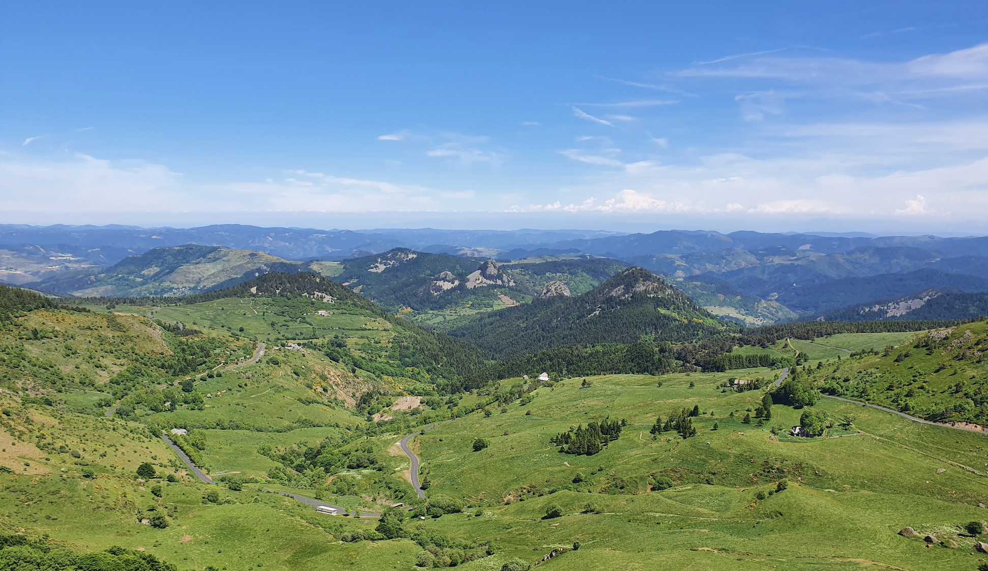
Hiking around Saint-Sauveur-En-Rue offers diverse terrain within the Pilat Natural Regional Park, located in the Loire department of central France. The area is characterized by its position at the confluence of the Velay, Vivarais, and Pilat mountainous regions, featuring prominent peaks like Mont Pyfarat and significant mountain passes such as Col de la République and Col du Tracol. Extensive natural features include the Forest of Taillard, the unique Gimel Peat Bogs, and the source of the River Déôme, providing varied…
Last updated: June 29, 2026
4.5
(4)
28
hikers
11.3km
03:10
230m
230m
Moderate hike. Good fitness required. Easily-accessible paths. Suitable for all skill levels.
4.3
(4)
9
hikers
10.5km
02:53
170m
170m
Moderate hike. Good fitness required. Easily-accessible paths. Suitable for all skill levels.

Sign up for free
4.7
(3)
10
hikers
8.41km
02:22
180m
180m
Moderate hike. Good fitness required. Easily-accessible paths. Suitable for all skill levels.
11
hikers
2.77km
00:49
80m
80m
Easy hike. Great for any fitness level. Easily-accessible paths. Suitable for all skill levels.
4
hikers
12.6km
04:05
510m
510m
Moderate hike. Good fitness required. Mostly accessible paths. Sure-footedness required.
Get access to more routes and recommendations from other explorers.
Sign up for free
Already have an account?
Our route recommendations are based on thousands of hikes, rides, and runs completed by other people on komoot.
Start today with a free account
Your next adventure awaits.
Login or Signup
Popular around Saint-Sauveur-En-Rue
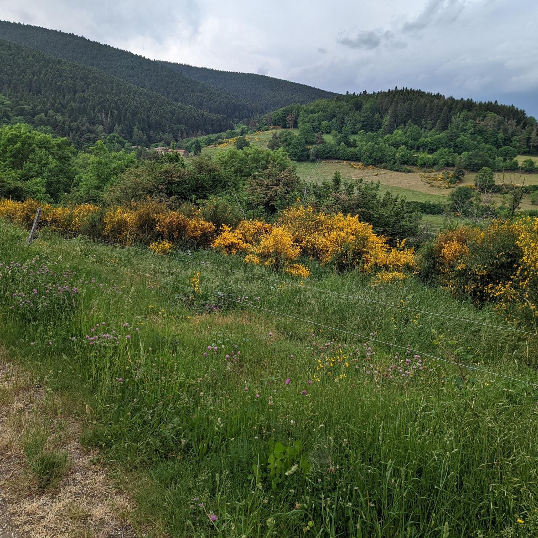
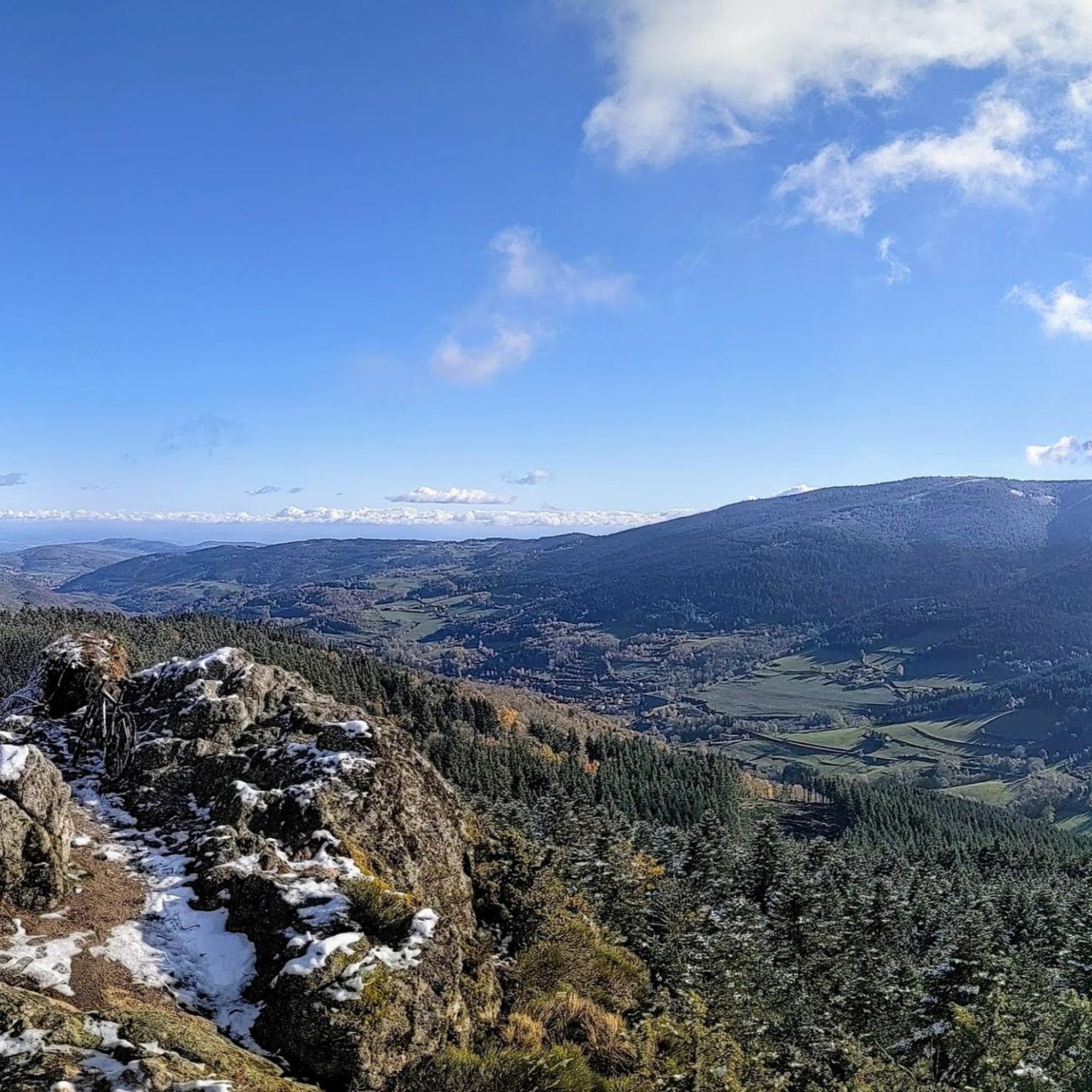



Tips from the Community


Interview with the Alps at the level of the megalithic remains.
0
0

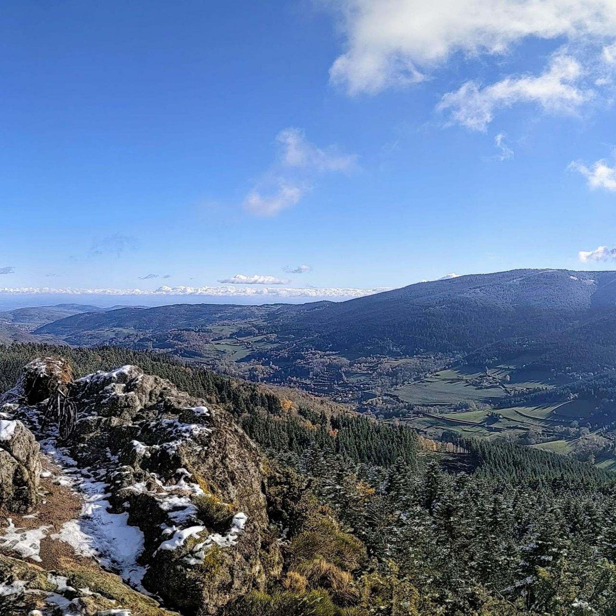
This megalithic site is known as Gnaorou. This name does not appear on IGN maps. It is a word from the local dialect, meaning “in the clouds”. The place offers a magnificent panorama of the Alps.
0
0
The Gimel peat bog is located at an altitude of 1,200 meters. It is one of the sources of the Dunerette. The marsh forms a bulge and contains a mosaic of plant groups. It has the particularity of having never been exploited for its peat.
0
0

Pilgrim accommodation on the Way of St. James
0
0

Between Loire and Haute Loire, at 1030 m, the Tracol resembles an Alpine pass with its terminal bends. to do on weekends to avoid overtaking by trucks
1
0

Path laid out in wood, accessible to strollers.
1
0

A primitive lake transformed into a bog over the years, colonized by mosses and vegetation. The best known and surely the most beautiful of the Pilat Regional Natural Park.
1
0
Frequently Asked Questions
What kind of terrain can I expect when hiking around Saint-Sauveur-en-Rue?
The region offers a diverse landscape, characterized by mountainous terrain, dense forests, and unique peat bogs. You'll find trails winding through the extensive Forest of Taillard, around the distinctive Gimel Peat Bogs, and offering views of prominent peaks like Mont Pyfarat.
Are there easy hiking options available for beginners or casual walkers?
Yes, Saint-Sauveur-en-Rue offers several easy hiking routes. For example, the Le Gnaorou – Gimel Peat Bog loop from Croix de Caille is an easy 5.1 km path, perfect for a shorter excursion. Another easy option is the Le Gnaorou loop from La Tourbière de Gimel, which is about 2.8 km.
What are the most notable natural features or landmarks to see on a hike?
Hikers can explore several unique natural features. The Gimel Peat Bogs are a significant attraction, offering specific loop trails. You can also visit the Col du Tracol, a historic mountain pass, or ascend to the Crêt de Chaussître for expansive panoramic views.
Are there any circular hiking routes in the area?
Yes, many of the trails around Saint-Sauveur-en-Rue are circular. Popular options include the Gimel Road – The Gimel Peat Bogs loop (11.3 km) and The Gimel Peat Bogs – Big pond loop (10.5 km), both offering a complete circuit through the natural landscape.
What do other hikers say about the trails in Saint-Sauveur-en-Rue?
The hiking routes in Saint-Sauveur-en-Rue are highly rated by the komoot community, with an average score of 4.6 stars from 800 reviews. Hikers often praise the varied terrain, from dense forests to unique peat bogs, and the well-maintained paths that cater to different ability levels.
Are there any hikes suitable for families with children?
For families, the easier, shorter loops are ideal. The Le Gnaorou – Gimel Peat Bog loop from Croix de Caille, at 5.1 km, is a great choice. Its relatively flat terrain and interesting natural features like the peat bog make it engaging for younger explorers.
Can I bring my dog on the hiking trails?
Many trails in the Pilat Natural Regional Park, including those around Saint-Sauveur-en-Rue, are generally dog-friendly. However, it's always recommended to keep dogs on a leash, especially in areas with wildlife or near agricultural land, and to check specific trail regulations for any restrictions.
What is the best time of year to go hiking in Saint-Sauveur-en-Rue?
The region is beautiful throughout the year. Spring and autumn offer pleasant temperatures and vibrant colors in the forests. Summer provides lush greenery and longer daylight hours, while winter can transform the landscape into a serene, snow-covered wonderland, though some higher trails might require appropriate gear.
Are there any attractions near the hiking trails that are not natural features?
Beyond the natural landscapes, you can visit the Ternay Dam and Lake, which offers a pleasant 4-kilometer path around the water, ideal for walkers. The village of Saint-Sauveur-en-Rue itself also has historical vestiges, including a watchtower and an ogival door, reflecting its medieval past.
How long do hikes typically take in this region?
Hiking durations vary significantly based on the route's length and difficulty. Easy trails like the 5.1 km Le Gnaorou – Gimel Peat Bog loop can be completed in under 2 hours, while moderate routes such as the 11.3 km Gimel Road – The Gimel Peat Bogs loop typically take around 3 hours.
Are there any long-distance hiking routes that pass through Saint-Sauveur-en-Rue?
Yes, the region is part of longer hiking networks. Sections of significant long-distance trails, such as the Via Gebennensis (part of the Camino de Santiago) and the GR65, traverse the area, offering opportunities for extended treks.
Most popular routes around Saint-Sauveur-En-Rue
Most popular attractions around Saint-Sauveur-En-Rue

Get inspired with the komoot mobile app


Explore more
Browse the best Hikes in other regions.
