The best MTB trails around Saint-Sauveur-En-Rue
4.3
(265)
1,491
riders
11
rides
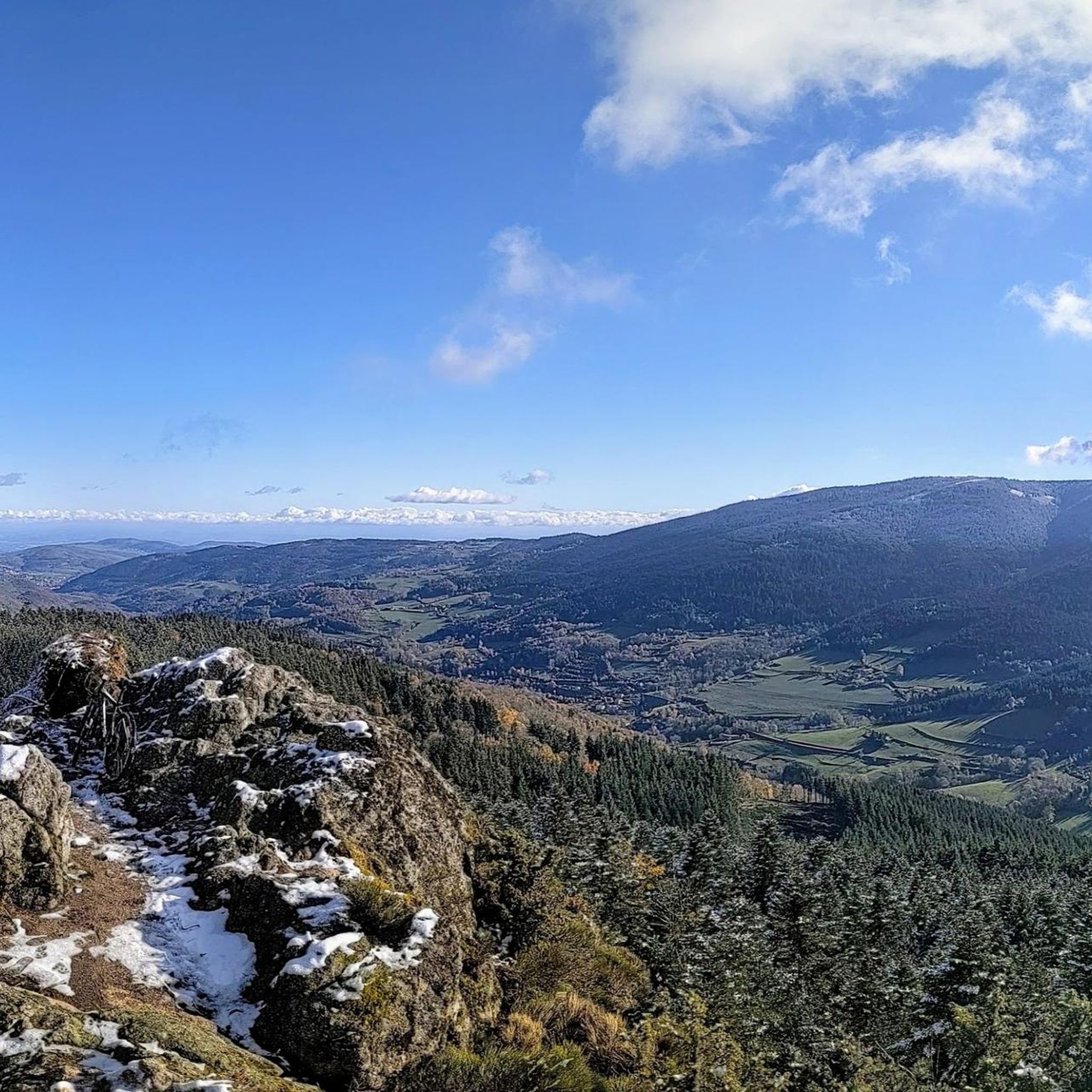
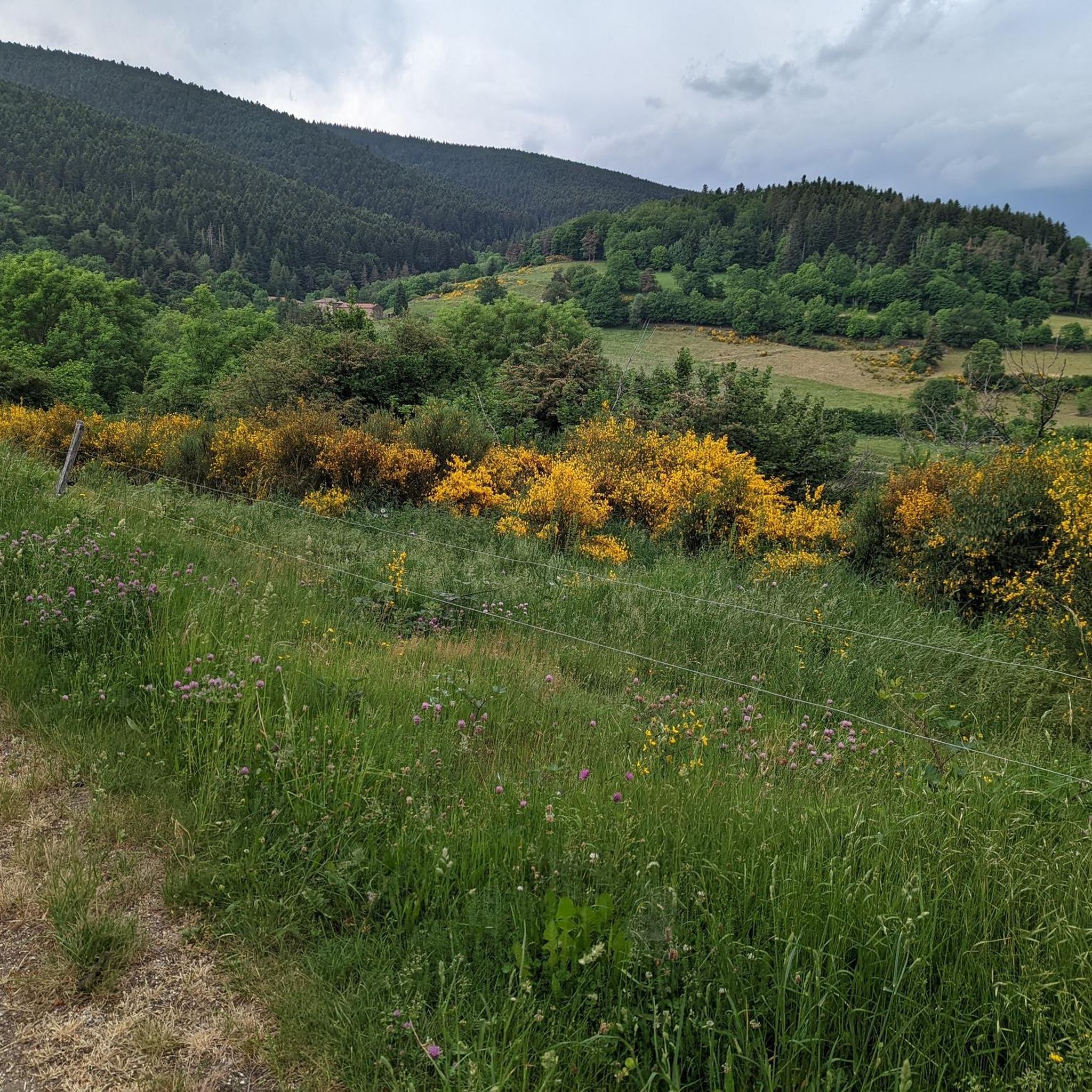
Mountain biking around Saint-Sauveur-En-Rue offers diverse landscapes within France's Loire department, situated at the southern end of the Pilat Natural Regional Park. The region features mountainous terrain, including Mont Pyfarat and significant mountain passes like Col de la République and Col du Tracol, providing varied elevation changes. Dense forests such as Taillard, along with river valleys and agricultural spaces, characterize the area, offering a range of mountain biking experiences.
Best mountain bike trails around Saint-Sauveur-En-Rue
- The most popular mountain bike…
Last updated: June 29, 2026
5.0
(1)
16
riders
52.9km
04:50
1,320m
1,320m
Hard mountain bike ride. Very good fitness required. Advanced riding skills necessary.
5
riders
44.8km
04:21
1,260m
1,260m
Hard mountain bike ride. Very good fitness required. Advanced riding skills necessary.

Sign up for free
6
riders
34.7km
03:41
1,110m
1,110m
Hard mountain bike ride. Very good fitness required. Advanced riding skills necessary.
5.0
(1)
4
riders
46.7km
03:17
850m
850m
Moderate mountain bike ride. Good fitness required. Suitable for all skill levels.
5.0
(1)
7
riders
32.8km
03:09
930m
930m
Hard mountain bike ride. Very good fitness required. Advanced riding skills necessary.
Get access to more routes and recommendations from other explorers.
Sign up for free
Already have an account?
Our route recommendations are based on thousands of hikes, rides, and runs completed by other people on komoot.
Start today with a free account
Your next adventure awaits.
Login or Signup
Popular around Saint-Sauveur-En-Rue
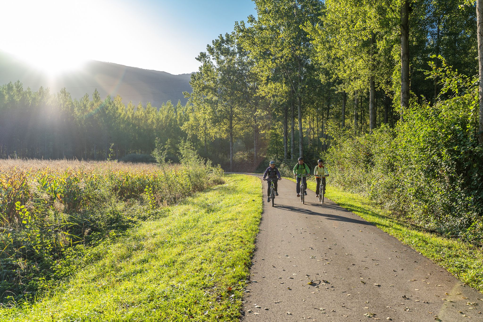
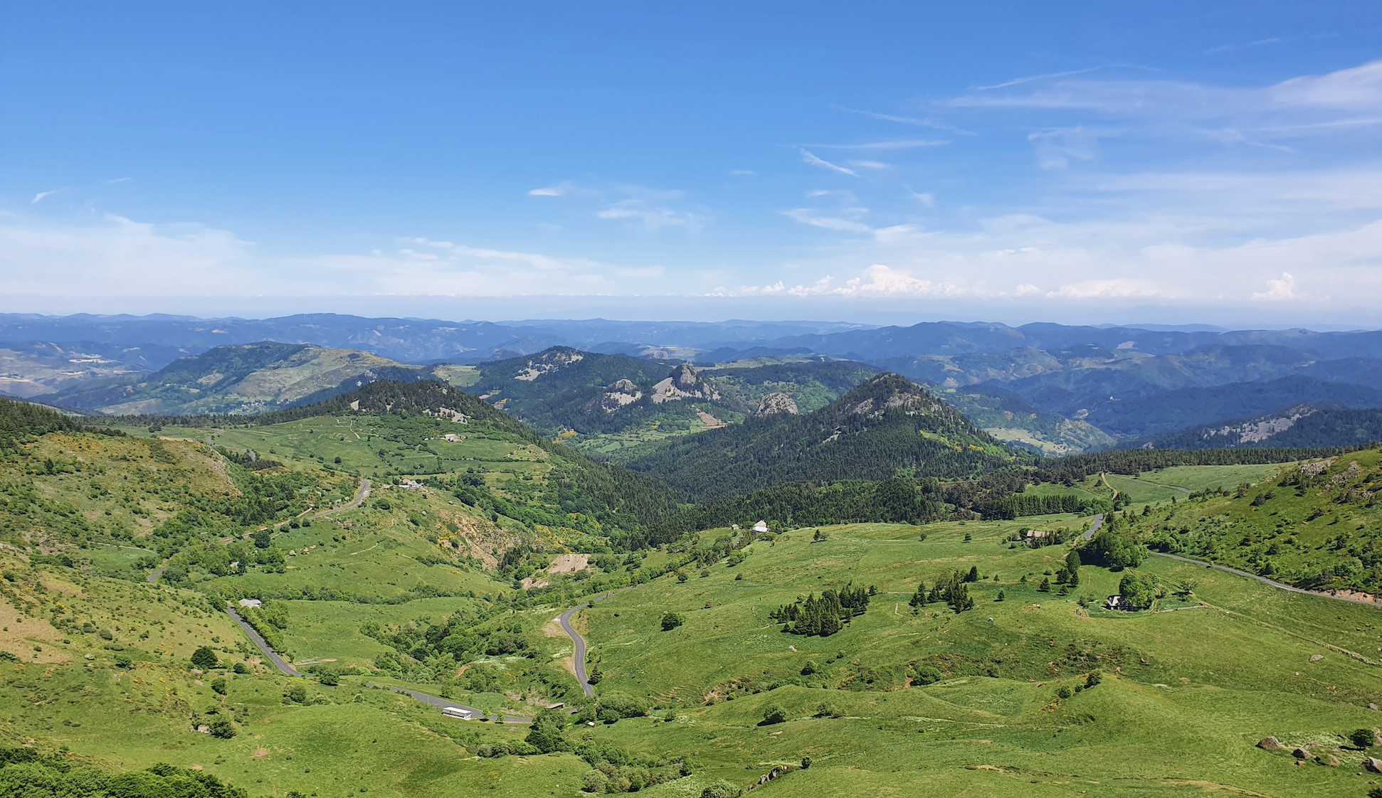
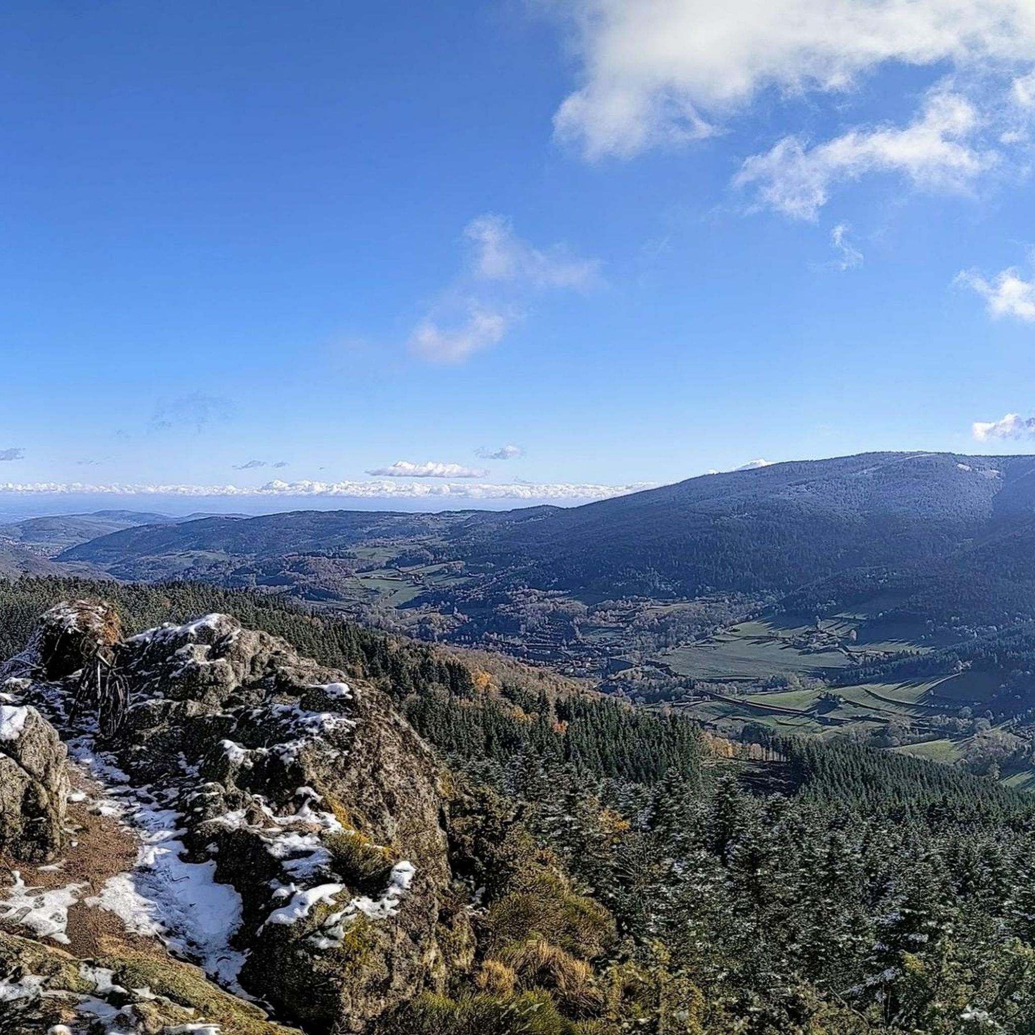
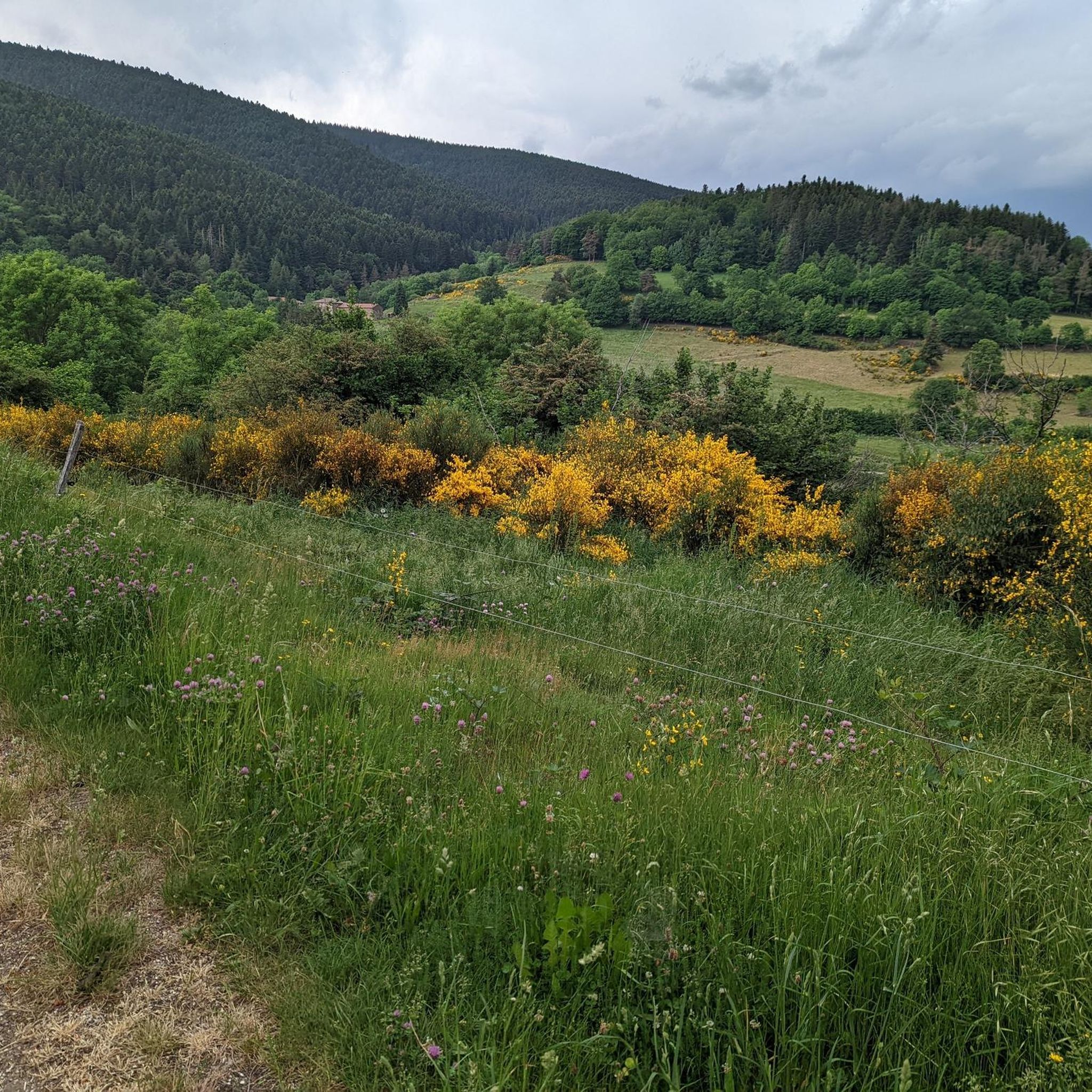



Tips from the Community

A massive, stone-built base supports the "Croix de Chirole," a symbol commemorating the crucifixion and resurrection of Jesus Christ, crowning the summit plateau. The two wooden beams of this small sacred monument clearly show the effects of wind and weather. The large body of the crucified Christ, however, whose light color clearly stands out against the background of the dark beams, appears to have been relatively recently restored or perhaps even renewed.
0
0

Superb view of Annonay and beyond!
0
0


This former shelter, located along the Via Fluvia, is enjoying a new lease of life thanks to the determination of the local heritage conservation association. It makes a lovely rest area; there's even a beautiful waterfall right across the street, and easy access to the river.
0
0

Interview with the Alps at the level of the megalithic remains.
0
0

This megalithic site is known as Gnaorou. This name does not appear on IGN maps. It is a word from the local dialect, meaning “in the clouds”. The place offers a magnificent panorama of the Alps.
0
0
The Gimel peat bog is located at an altitude of 1,200 meters. It is one of the sources of the Dunerette. The marsh forms a bulge and contains a mosaic of plant groups. It has the particularity of having never been exploited for its peat.
0
0

Between Loire and Haute Loire, at 1030 m, the Tracol resembles an Alpine pass with its terminal bends. to do on weekends to avoid overtaking by trucks
1
0
Frequently Asked Questions
How many mountain bike trails are available around Saint-Sauveur-En-Rue?
There are over 140 mountain bike trails in the Saint-Sauveur-En-Rue area, catering to various skill levels. The komoot community has explored these routes over 1500 times, giving them an average rating of 4.3 stars.
Are there any easy mountain bike trails suitable for beginners?
Yes, the region offers 15 easy mountain bike trails. These routes are generally less demanding in terms of elevation and technical skill, making them ideal for beginners or those looking for a relaxed ride through the scenic landscapes of the Pilat Natural Regional Park.
What kind of terrain can I expect on mountain bike trails in Saint-Sauveur-En-Rue?
The terrain around Saint-Sauveur-En-Rue is diverse, ranging from dense forests and agricultural spaces to mountainous areas with significant elevation changes. You'll encounter trails near Mont Pyfarat and the historic Col du Tracol, offering a mix of wooded paths and open views. Some routes may be unpaved and require good fitness.
Are there any challenging mountain bike routes for experienced riders?
Absolutely. For experienced riders seeking a challenge, there are 24 difficult mountain bike trails. An example is the Col du Tracol – Le Grand Felletin loop from Col du Tracol, which is 39.1 km long with over 1250 meters of elevation gain, leading through demanding mountain passes and high-elevation forests.
Can I find circular mountain bike routes in the area?
Yes, many of the mountain bike trails around Saint-Sauveur-En-Rue are circular, allowing you to start and finish at the same point. A popular moderate option is the Bourg-Argental mountain bike circuit – les chirattes loop from Bourg-Argental, which is 21.6 km long and takes about 2 hours to complete.
What are some scenic viewpoints or landmarks I can see along the trails?
The region is rich in natural beauty and historical sites. You can encounter landmarks such as the Col du Tracol, a historic mountain pass, or the Crêt de Chaussître summit. The Pyramid of the Madonna loop from Saint-Genest-Malifaux offers views of surrounding forests and hills.
Are there family-friendly mountain bike trails in Saint-Sauveur-En-Rue?
While specific 'family-friendly' designations are not always explicit, the 15 easy trails in the area are generally suitable for families with some biking experience. These routes tend to have less elevation and technical difficulty, providing a more relaxed ride for all ages.
Where can I park my car when going mountain biking?
Parking availability varies by trailhead. For routes starting from specific villages or points of interest, you can often find parking in the village centers or designated parking areas. For example, routes like the Bourg-Argental mountain bike circuit loop from Zone artisanale les Rivets would likely have parking options near the starting point.
What is the best season for mountain biking in Saint-Sauveur-En-Rue?
The best season for mountain biking is typically from spring to autumn when the weather is mild and trails are dry. The diverse landscapes, including forests and river valleys, are particularly vibrant during these months. Winter mountain biking is possible, but some higher elevation trails may be challenging due to snow or ice.
Are there any routes that offer significant elevation gain?
Yes, the mountainous terrain around Saint-Sauveur-En-Rue provides routes with substantial elevation gain. For instance, the Railway Workers' Shelter – Chirol Cross loop from Bourg-Argental covers 31.6 km with over 780 meters of ascent, offering a good workout and rewarding views.
What do other mountain bikers enjoy most about the trails here?
The komoot community highly rates the trails around Saint-Sauveur-En-Rue, with an average score of 4.3 stars. Reviewers often praise the diverse landscapes, from dense forests to open views, and the variety of routes available for different skill levels. The well-maintained paths and the natural beauty of the Pilat Natural Regional Park are frequently highlighted.
Most popular routes around Saint-Sauveur-En-Rue
Most popular attractions around Saint-Sauveur-En-Rue

Get inspired with the komoot mobile app


Explore more
Browse the best MTB trails in other regions.
