Top 8 Mountain Passes around Saint-Léger-Les-Mélèzes
Best mountain passes around Saint-Léger-Les-Mélèzes are found in the Champsaur valley of the Hautes-Alpes, providing access to high-altitude routes. The region features diverse terrain, from challenging climbs to scenic viewpoints. These routes offer experiences for cyclists, hikers, and nature enthusiasts. The area is characterized by its Alpine landscape and significant elevation changes.
Best mountain passes around Saint-Léger-Les-Mélèzes
- The most popular mountain passes is Col de Moissière (1573 m), a mountain pass that connects the Gapençais region with the upper…
Last updated: July 10, 2026
Col de Moissière (1573 m)
Highlight • Mountain Pass
Translated by Google •
Tip by

Gardette Pass
Highlight • Mountain Pass
Flowering …
Translated by Google •
Tip by

Sign up now to discover places like this
Get recommendations on the best single tracks, peaks, & plenty of other exciting outdoor places.
Sign up for free
Col du Viallet
Highlight • Mountain Pass
Translated by Google •
Tip by

Pisse Pass
Highlight • Mountain Pass
Translated by Google •
Tip by

Col de Manse
Highlight • Mountain Pass
More information: de.wikipedia.org/wiki/Kanal_von_Gap and quaeldich.de/paesse/col-de-manse
Translated by Google •
Tip by

Sign up for free to discover even more mountain passes around Saint-Léger-Les-Mélèzes.
Sign up for free
Already have an account?
Start today with a free account
Your next adventure awaits.
Login or Signup
Popular around Saint-Léger-Les-Mélèzes
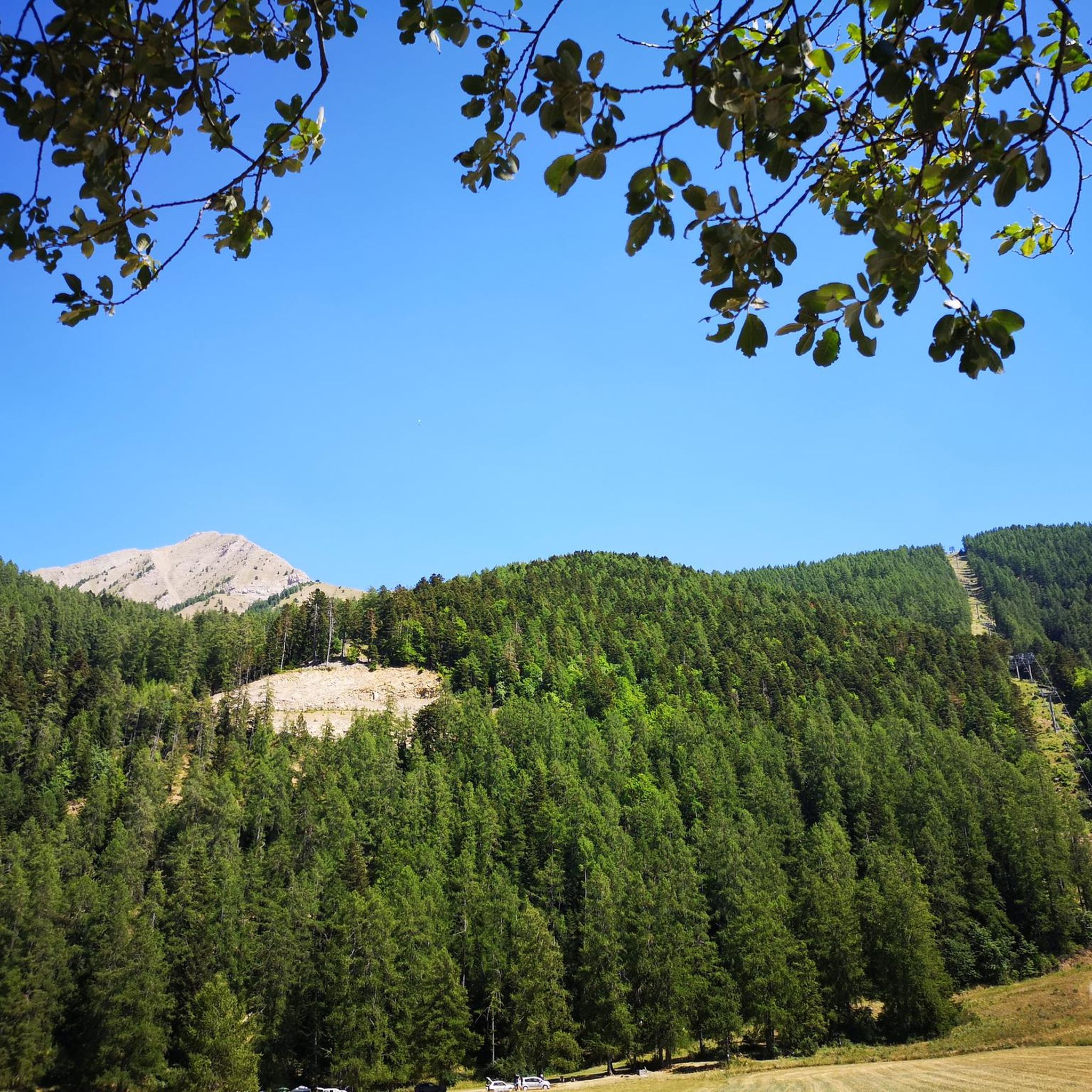
Road Cycling Routes around Saint-Léger-Les-Mélèzes
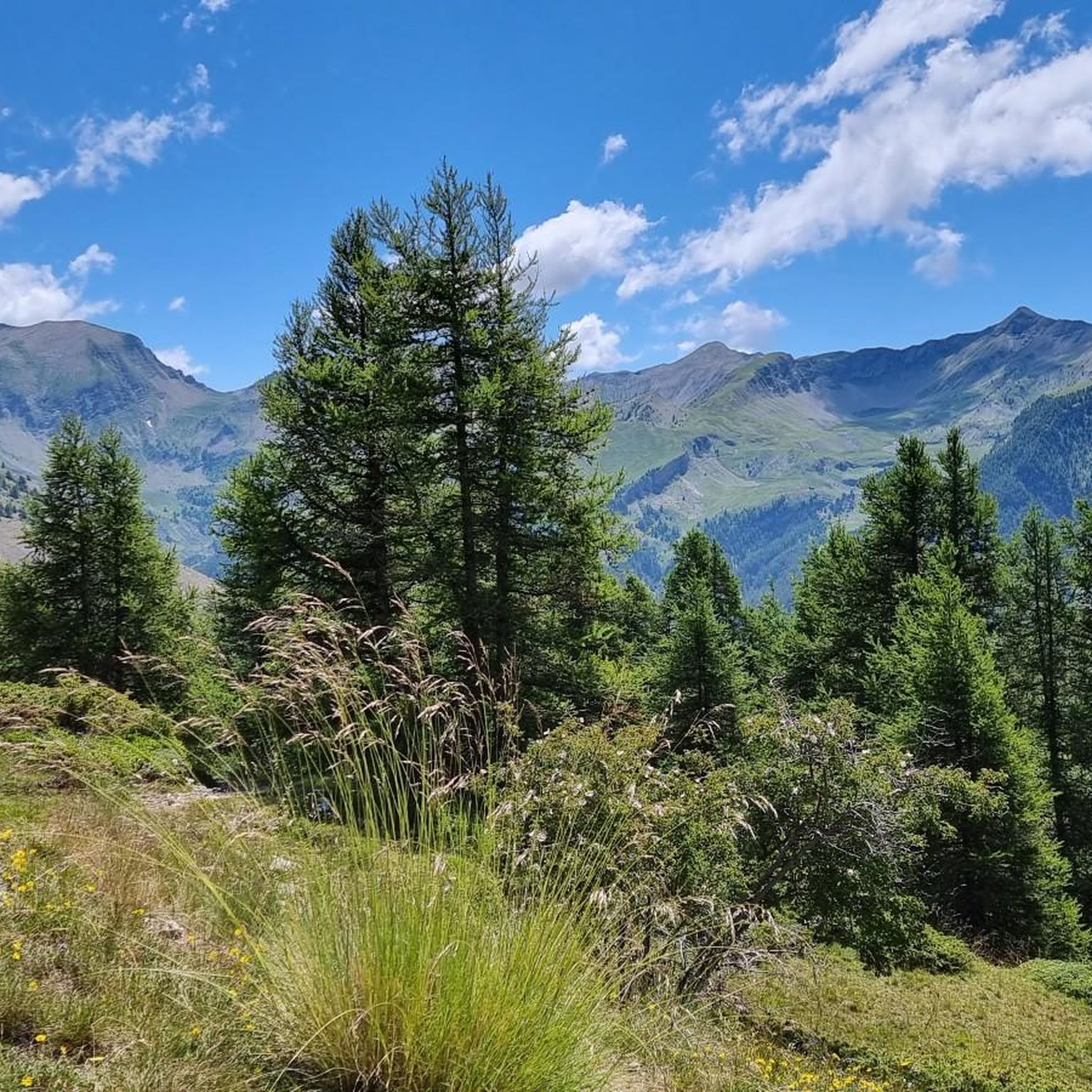
MTB Trails around Saint-Léger-Les-Mélèzes
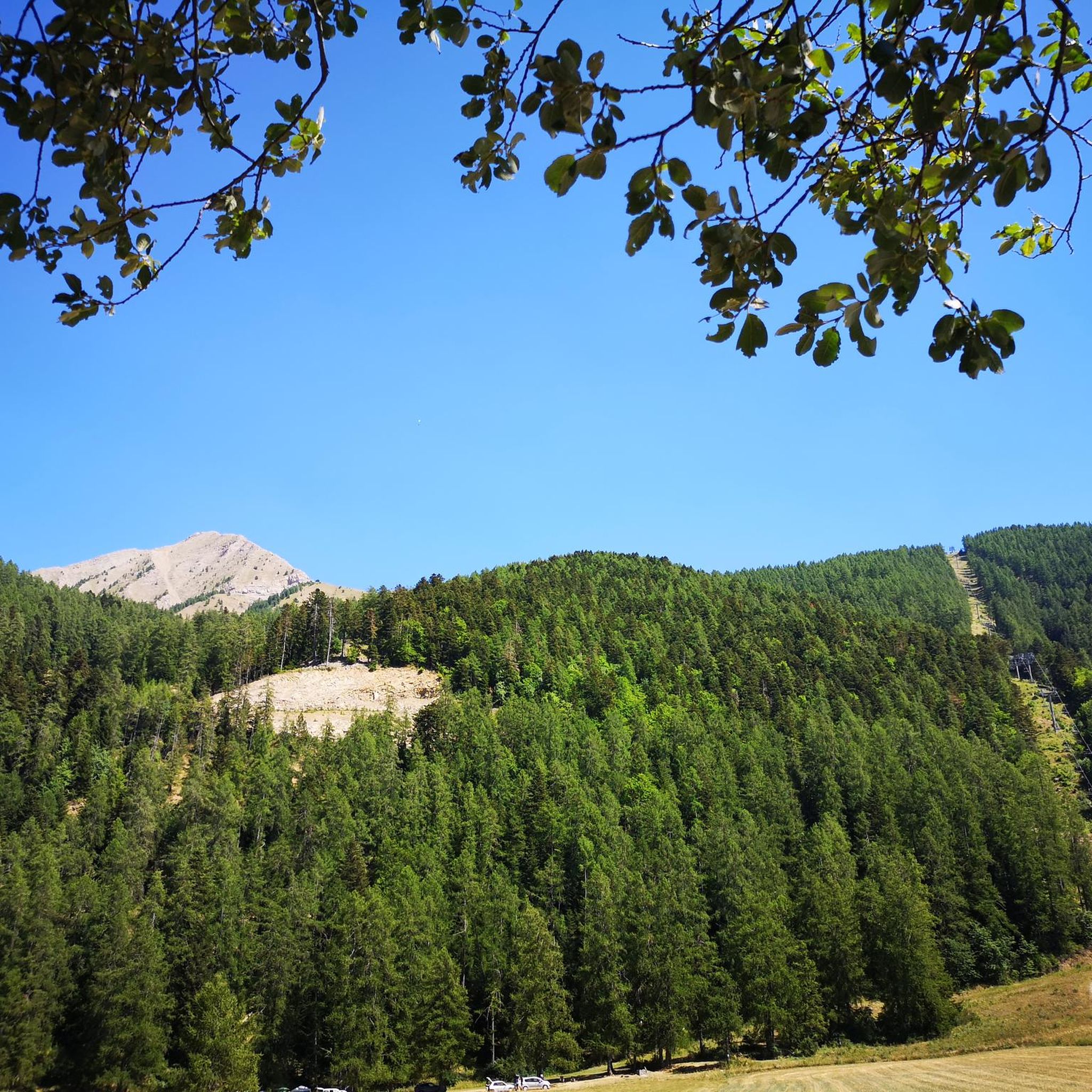
Cycling around Saint-Léger-Les-Mélèzes
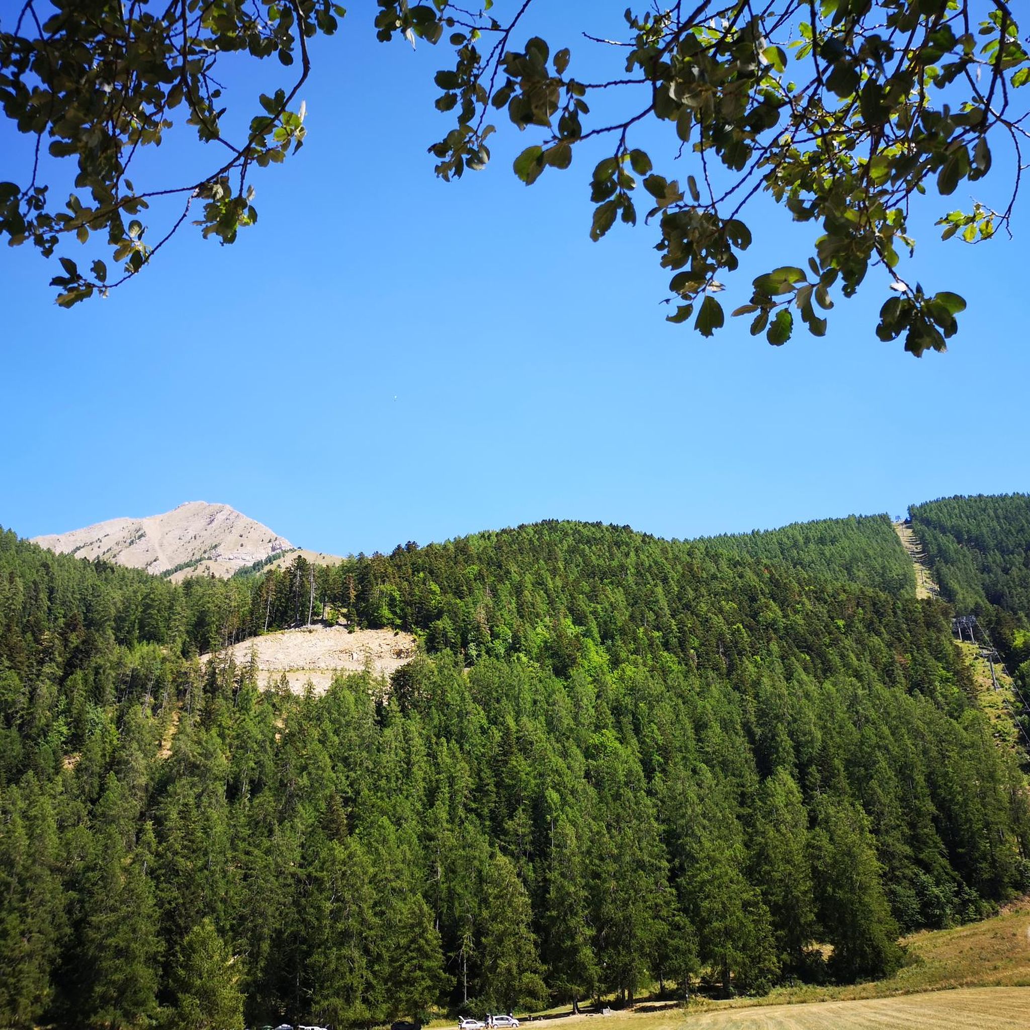
Hiking around Saint-Léger-Les-Mélèzes
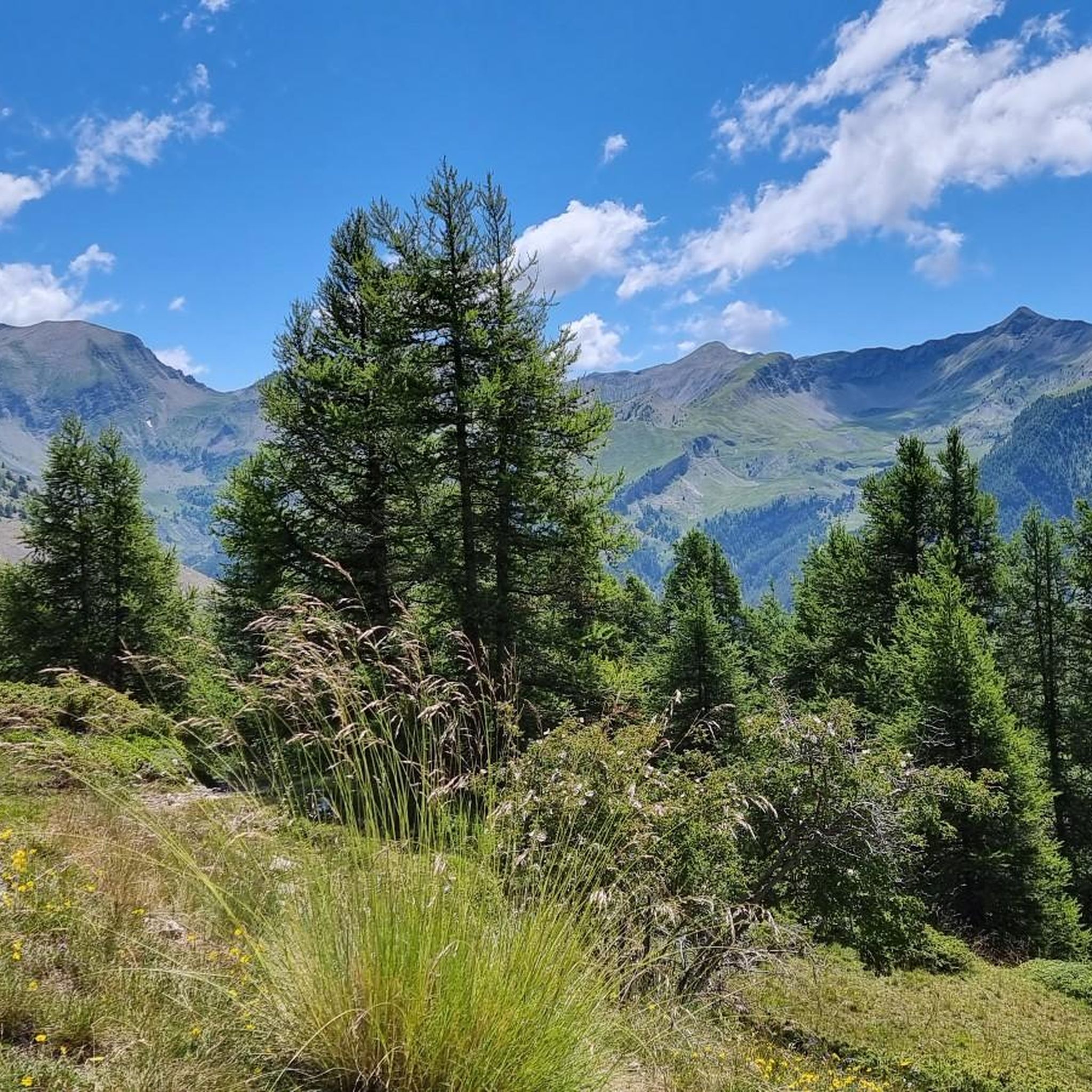
Running Trails around Saint-Léger-Les-Mélèzes
Mountain Hikes around Saint-Léger-Les-Mélèzes
Gravel biking around Saint-Léger-Les-Mélèzes
Tips from the Community


The climb has steep sections and stretches that make you breathe, at the top a fabulous panorama awaits you. Little traffic.
19
0

Located under the Pointe du Lingustier at an altitude of 2,240 meters, the Col du Viallet offers spectacular views of its two sides. It opens up a wide panorama of the Queyrel peak.
0
0
Culminating at 2,354 meters, the Col de la Pisse offers beautiful panoramas of the Écrins massif.
0
0

The Col de la Gardette (2125m). A tough and beautiful climb from Chorges towards a bucolic pass where green mountain pastures stretch as far as the eye can see. Flowering mountain pastures are visible along the climb, while Lake Serre-Ponçon stretches along the mountainsides. At the top, the Réallon valley is also revealed when the sun shines on it.
1
0

Pleasant course with little traffic when I did it 👍
1
0

We reach the summit of the Col de Moissière after a fairly quiet climb which links Les Cesaris to Ancelle. The climb is 9.5 kilometers long with an average gradient of 7.5% and steep sections with gradients reaching 14.6%.
4
0

Very nice atmosphere. What a contrast between the S and N side!
0
0
Frequently Asked Questions
What are some of the most notable mountain passes near Saint-Léger-les-Mélèzes?
The region offers several remarkable passes. Among them, the Col du Noyer is highly regarded for its panoramic views and challenging ascent, separating the Champsaur and Dévoluy regions. Another significant pass is the Col de Moissière (1573 m), known for connecting the Gapençais region with the upper Champsaur. Other notable high-altitude points include Le Cuchon, offering extensive panoramas, and the challenging Col du Viallet with spectacular views of the Pic Queyrel.
What kind of views can I expect from the mountain passes in this region?
You can expect breathtaking panoramic views. The Col du Noyer offers stunning vistas of the Champsaur landscape, characterized by its unique 'bocage' (hedged farmland). From the Col de Moissière (1573 m), you'll see impressive winter views of the surrounding ski slopes of Ancelle. Higher passes like the Pisse Pass and Col de Riou Beyrou provide incredible panoramas of the Écrins massif and surrounding peaks in wild natural settings.
Are the mountain passes around Saint-Léger-les-Mélèzes suitable for cycling?
Yes, many passes are highly regarded by cyclists. The Col du Noyer is a 'paradise for cyclists,' having been featured in prestigious races like the Tour de France. The Col de Moissière (1573 m) is also well-known in the cycling community, included in the Critérium du Dauphiné. You can find various road cycling routes, including those passing through the Col de Moissière, in the Road Cycling Routes around Saint-Léger-Les-Mélèzes guide.
What hiking opportunities are available near these mountain passes?
The region offers diverse hiking opportunities. The Col de Moissière (1573 m) serves as a starting point for various hiking trails. Le Cuchon is a classic summit for hikers and snowshoers, offering extensive panoramas. Challenging routes to L'Aiguille and Petite Autane provide stunning views and opportunities to spot chamois. For more detailed hiking options, explore the Mountain Hikes around Saint-Léger-Les-Mélèzes guide.
When is the best time to visit the mountain passes around Saint-Léger-les-Mélèzes?
The best time to visit depends on your activity. For cycling and hiking, late spring to early autumn (roughly May to October) is ideal, as roads are typically clear of snow. Passes like the Col du Noyer are usually closed for about six months a year due to snow and rockfalls, emphasizing their high-mountain character. Summer offers cooler conditions at higher altitudes, perfect for challenging hikes.
Are there any mountain passes with unique amenities or historical significance?
Yes, at the summit of the Col du Noyer, you'll find a Napoleon refuge. This historic building has been converted into a bar-restaurant-souvenir shop, offering a welcome break and stunning vistas for visitors. It adds a touch of history and convenience to the challenging ascent.
Are there challenging routes for experienced hikers or cyclists?
Absolutely. The ascent to the Col du Noyer from the Champsaur side is particularly steep and challenging, with an average gradient exceeding 8%. The Col de Moissière (1573 m) also features steep sections reaching gradients of 14.6%. For hikers, routes to L'Aiguille and Petite Autane offer significant altitudes and wild natural beauty, while the Col de Riou Beyrou is categorized as challenging.
What outdoor activities can I do near these mountain passes besides hiking and cycling?
Beyond hiking and cycling, the area around Saint-Léger-les-Mélèzes offers opportunities for running and mountaineering. You can explore various running trails, including loops around Le Cuchon, as detailed in the Running Trails around Saint-Léger-Les-Mélèzes guide. For more strenuous activities, the Mountain Hikes around Saint-Léger-Les-Mélèzes guide also includes mountaineering routes like the Vieux Chaillol loop.
Are there family-friendly options among the mountain passes or nearby trails?
While many passes involve challenging climbs, the general area offers varied terrain. For family-friendly walks, consider exploring the lower sections of trails or seeking out specific routes designed for easier access. The Col de Moissière, for instance, is a starting point for various trails, some of which may be suitable for families depending on their difficulty. Always check specific route details for elevation and terrain before heading out with children.
What wildlife might I encounter on the trails near the mountain passes?
The wild natural beauty of the high-altitude routes, particularly around L'Aiguille and Petite Autane, offers opportunities to spot chamois and various bird species. The diverse Alpine landscape provides habitats for a range of mountain wildlife, making for rewarding encounters for nature enthusiasts.
What is the highest mountain pass or high-altitude point in the immediate vicinity?
Among the passes listed, the Col de Riou Beyrou is one of the highest, located at 2,695 meters above sea level. It offers an incredible panorama in one of the wildest surroundings and is dominated by the 'Cabane des Parisiens,' a small stone shelter.
Are there any passes that offer views of Lake Serre-Ponçon?
Yes, the Gardette Pass offers views of Lake Serre-Ponçon. As you climb towards this pass from Chorges, flowering mountain pastures are visible, and Lake Serre-Ponçon stretches along the mountainsides, providing a beautiful backdrop to your journey.
Most popular routes around Saint-Léger-Les-Mélèzes
Most popular attractions around Saint-Léger-Les-Mélèzes

Get inspired with the komoot mobile app


Explore more
See even more epic mountain passes by checking out these guides around Saint-Léger-Les-Mélèzes:
