Saint-Léger-Les-Mélèzes
Saint-Léger-Les-Mélèzes
The best cycling routes around Saint-Léger-Les-Mélèzes
4.7
(70)
1,989
riders
113
rides
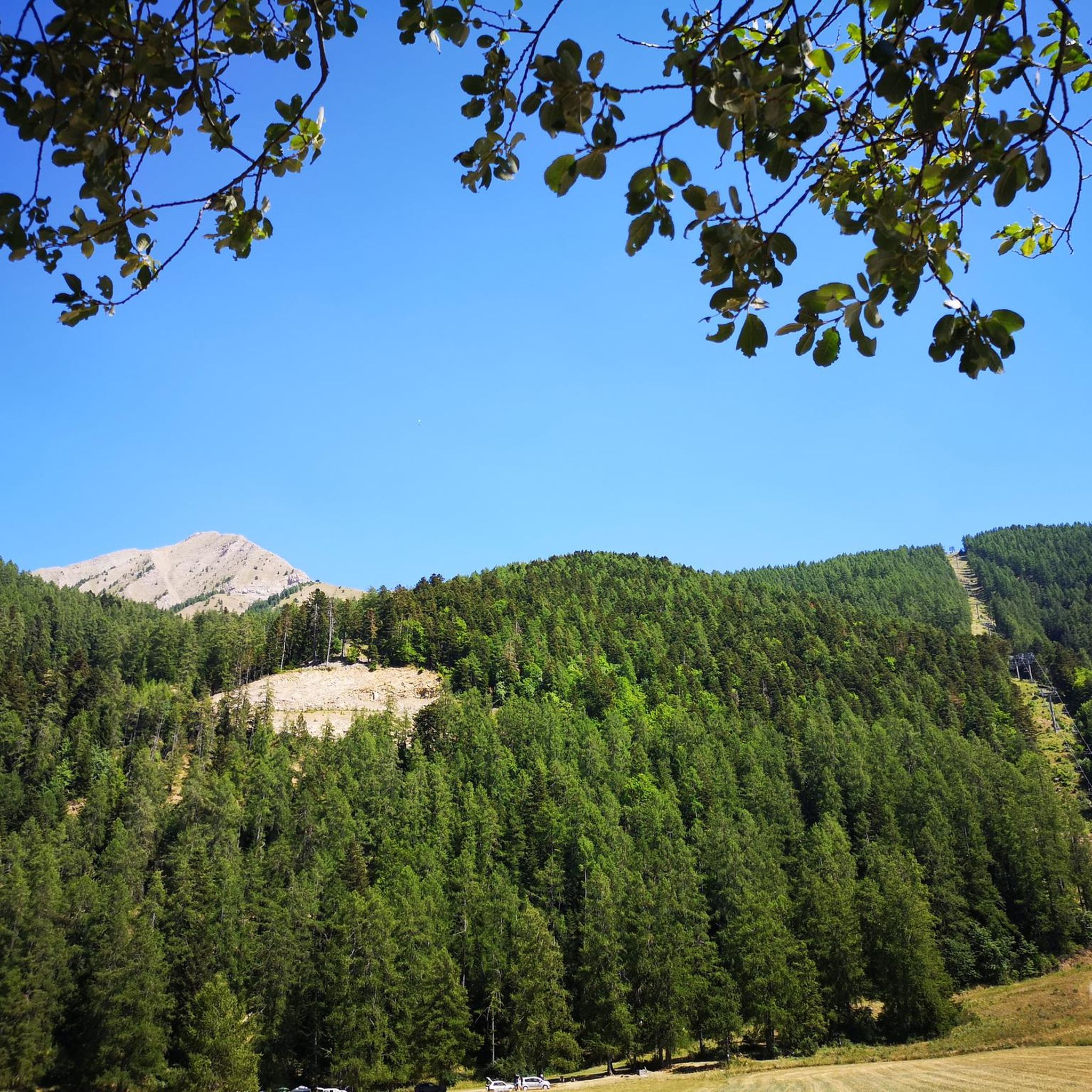
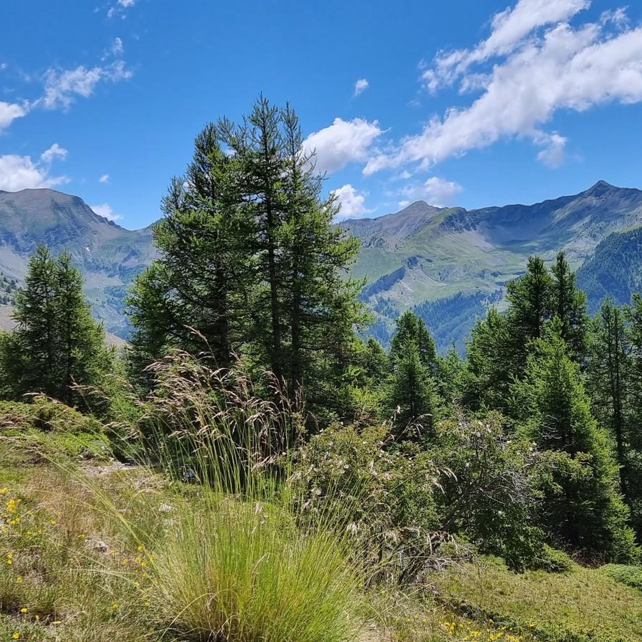
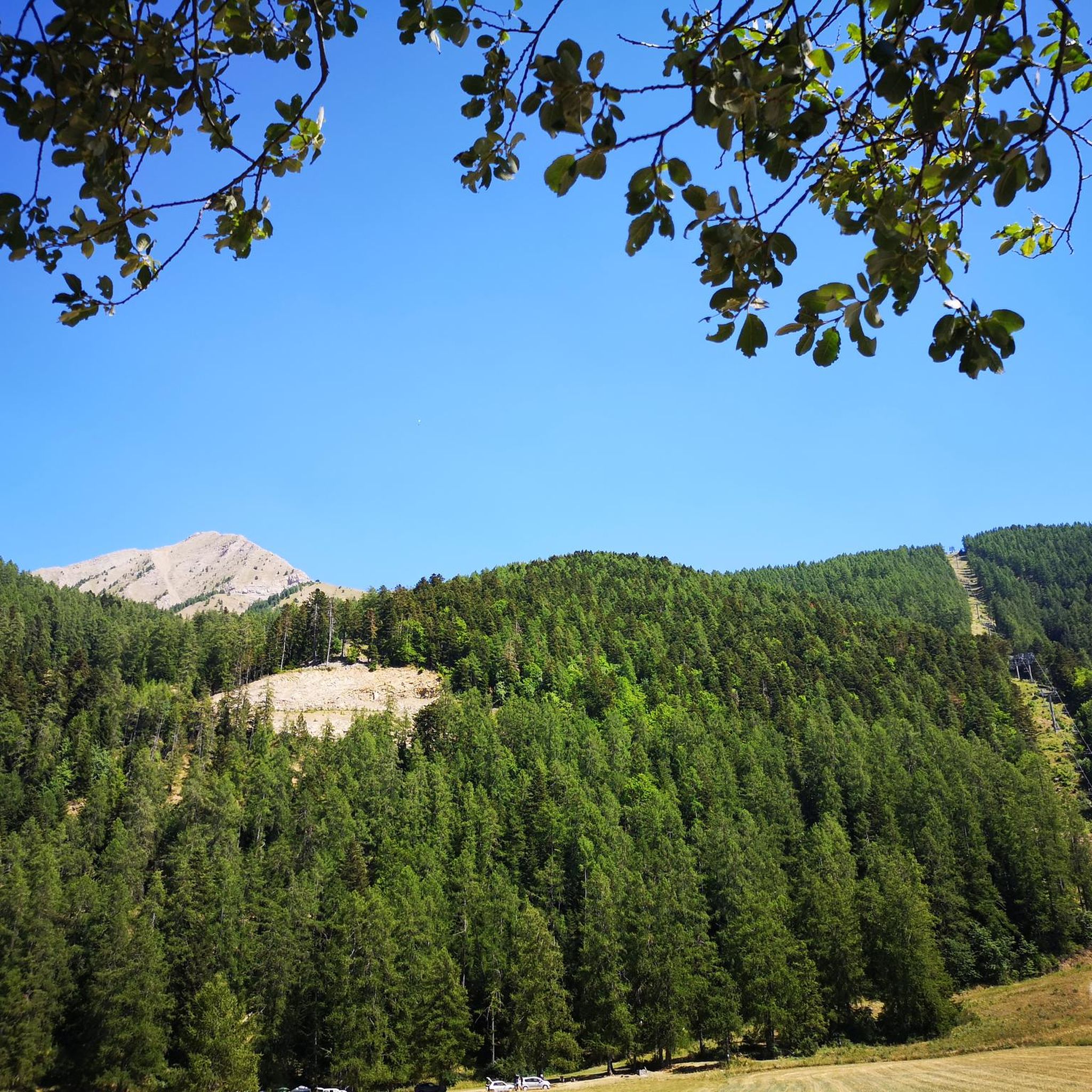
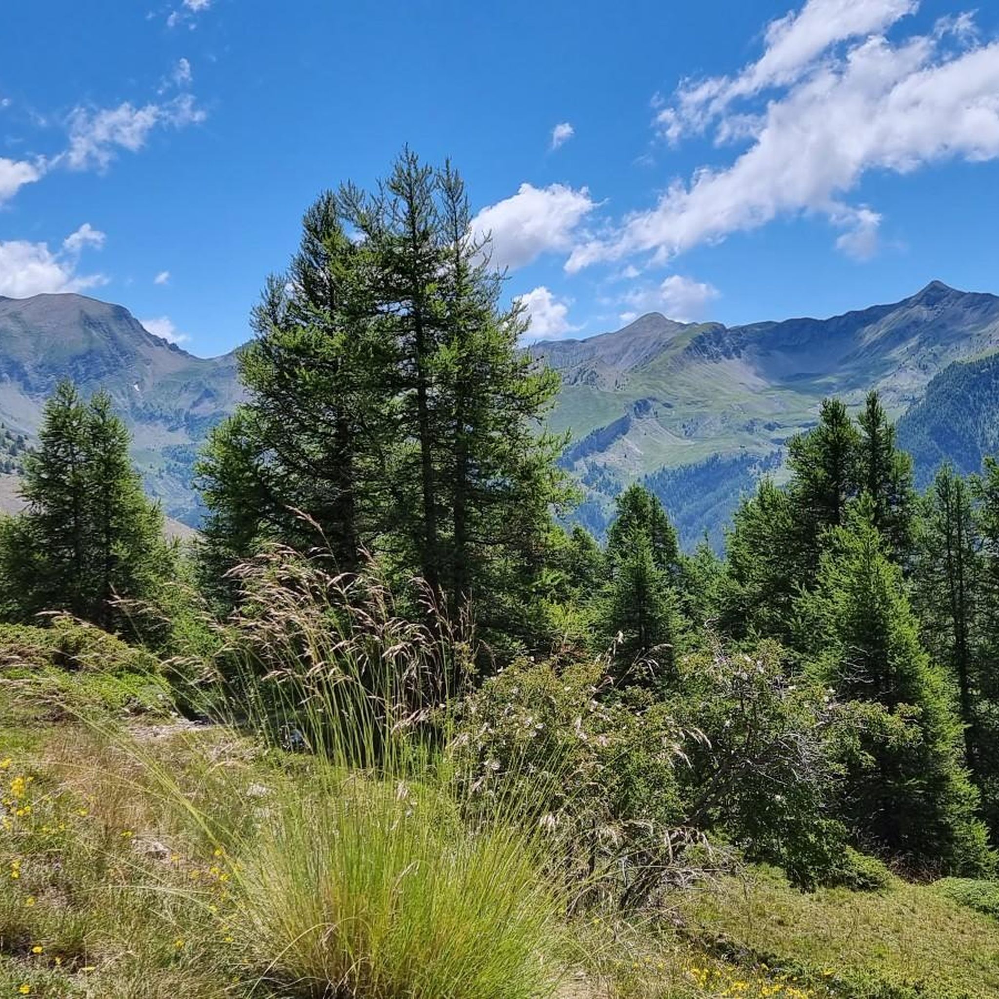
Touring cycling routes around Saint-Léger-Les-Mélèzes traverse the varied terrain of the Champsaur massif in the Hautes-Alpes department of southeastern France. The region features elevations ranging from 1,076 to 2,459 meters, offering diverse landscapes from hedged farmland in the Drac river valley to higher mountain slopes. Larch forests are a defining natural feature, providing scenic routes, while proximity to the Écrins National Park offers access to preserved natural areas with torrents and lakes. The village is backed by hills like the Cuchon (2,002 m) and dominated by mountains such as the Petite Autane (2,519 m).
Best touring cycling routes around Saint-Léger-Les-Mélèzes
- The most popular touring cycling route is Les Auberts - Le Drac Blanc – Wooden bridge over the Drac loop from Saint-Léger-les-Mélèzes, a 27.0 miles (43.5 km) trail that takes 2 hours 51 minutes to complete. This difficult route features significant elevation gain through the Drac river valley.
- Another top favourite among local touring cyclists is Bridge over the Drac – Saint-Bonnet-en-Champsaur loop from Saint-Léger-les-Mélèzes, a moderate 20.4 miles (32.8 km) path. This route offers views of the Drac river and passes through the Champsaur valley.
- Local touring cyclists also love the Plateau de Libouze – Viewpoint loop from Chabottes, a 16.9 miles (27.3 km) trail leading through varied terrain with viewpoints, often completed in about 2 hours 29 minutes.
- Touring cycling around Saint-Léger-Les-Mélèzes is defined by larch forests, the Champsaur Valley, and surrounding mountains, offering a mix of terrain. The network offers options for different ability levels, from moderate valley rides to more challenging mountain ascents.
- The routes in Saint-Léger-Les-Mélèzes are highly rated by the komoot community with an average score of 4.4 stars from over 70 reviews. More than 2000 touring cyclists have used komoot to explore Saint-Léger-Les-Mélèzes's varied terrain.
Last updated: July 1, 2026
19
riders
27.3km
02:29
650m
650m
Hard bike ride. Very good fitness required. Mostly paved surfaces. Suitable for all skill levels.
19
riders
36.2km
03:28
830m
830m
Hard bike ride. Very good fitness required. You may need to push your bike for some segments of this route.

Sign up for free
13
riders
18.6km
01:11
190m
190m
Moderate bike ride. Good fitness required. Mostly paved surfaces. Suitable for all skill levels.
5.0
(1)
18
riders
15.5km
01:26
420m
420m
Hard bike ride. Good fitness required. You may need to push your bike for some segments of this route.
5.0
(2)
14
riders
89.4km
06:25
1,850m
1,840m
Hard bike ride. Very good fitness required. Mostly paved surfaces. Suitable for all skill levels.
Get access to more routes and recommendations from other explorers.
Sign up for free
Already have an account?
Our route recommendations are based on thousands of hikes, rides, and runs completed by other people on komoot.
Start today with a free account
Your next adventure awaits.
Login or Signup
Popular around Saint-Léger-Les-Mélèzes
Tips from the Community


don't forget to look backwards during the first climax or you willen miss this nice view!
0
0
Good alternative to the National road where there are a lot of cars. A little bit of elevation gain for a beautiful view and peace!
1
0

One of the many panoramic points with lake view.
15
0
Very nice to pass over this bridge but pay attention to the traffic.
15
0
The climb has steep sections and stretches that make you breathe, at the top a fabulous panorama awaits you. Little traffic.
19
0


arch bridge built over Lake Serre-Ponçon in Hautes-Alpes, France. It connects the shores of the lake and offers spectacular panoramic views of the surrounding mountains. Its construction was completed in 1961, and it has become an iconic symbol of the region, both for its functionality and its architectural beauty.
2
0
Frequently Asked Questions
How many touring cycling routes are available around Saint-Léger-Les-Mélèzes?
There are over 110 touring cycling routes around Saint-Léger-Les-Mélèzes. These routes cater to various skill levels, with 9 easy, 39 moderate, and 63 difficult options, ensuring there's something for every cyclist.
What kind of terrain and elevation can I expect on touring cycling routes in Saint-Léger-Les-Mélèzes?
The region offers diverse terrain, from the hedged farmland of the Drac river valley to higher mountain slopes within the Champsaur massif. You'll encounter significant elevation changes, with routes like Les Auberts - Le Drac Blanc – Wooden bridge over the Drac loop from Saint-Léger-les-Mélèzes featuring over 650 meters of ascent. The landscape is characterized by larch forests and views of peaks like the Cuchon and Petite Autane.
Are there any circular touring cycling routes in the area?
Yes, many touring cycling routes around Saint-Léger-Les-Mélèzes are designed as loops. For example, the moderate Bridge over the Drac – Saint-Bonnet-en-Champsaur loop from Saint-Léger-les-Mélèzes offers scenic views of the Drac river and passes through the Champsaur valley. Another option is the Ditch bridge loop from Les Trois Dieux, a shorter moderate ride.
What natural features or landmarks can I see along the touring cycling routes?
The routes often pass through magnificent larch forests, a defining feature of the area. You can also enjoy views of the Champsaur Valley and the Drac river. Proximity to the Écrins National Park means access to preserved natural areas with torrents and lakes. Specific highlights include the Cascade de la Pisse waterfall and the Plateau de Libouze, which offers great viewpoints.
Are there any family-friendly touring cycling routes in Saint-Léger-Les-Mélèzes?
While many routes involve significant elevation, there are options suitable for families. Look for routes described as 'easy' or 'moderate' that stick to the valley floor or less steep sections. The region's varied terrain means you can find paths through larch forests or along the Drac river that are enjoyable for all ages, though specific 'family-friendly' designations would depend on individual route details.
What is the best time of year for touring cycling in Saint-Léger-Les-Mélèzes?
The warmer months, typically from spring through autumn, are ideal for touring cycling in Saint-Léger-Les-Mélèzes. During these seasons, the larch forests are vibrant, and the mountain passes are generally clear of snow, offering the best conditions to explore the diverse landscapes of the Champsaur massif.
What do other touring cyclists say about the routes in Saint-Léger-Les-Mélèzes?
The touring cycling routes in Saint-Léger-Les-Mélèzes are highly rated by the komoot community, with an average score of 4.4 stars from over 70 reviews. Cyclists often praise the stunning natural landscapes, the challenge of the mountain terrain, and the beauty of the larch forests and valley views.
Are there any routes that offer panoramic viewpoints?
Yes, several routes provide exceptional panoramic views. The Plateau de Libouze – Viewpoint loop from Chabottes is specifically noted for leading through varied terrain with excellent viewpoints. From higher elevations, you can often see the entire Champsaur valley, the Petite and Grande Autane mountains, and the Ancelle plateau.
Can I find cafes or restaurants along the touring cycling routes?
While specific cafes on every route are not guaranteed, the village of Saint-Léger-Les-Mélèzes itself, and other villages within the Champsaur valley like Saint-Bonnet-en-Champsaur (which the Bridge over the Drac – Saint-Bonnet-en-Champsaur loop from Saint-Léger-les-Mélèzes passes through), offer options for refreshments and meals. Planning your route to pass through these villages is a good idea for breaks.
What kind of wildlife might I encounter while cycling?
The preserved natural environment, especially near the Écrins National Park, means you might spot various wildlife. Hikers in the area often encounter marmots, chamois, and even golden eagles. While cycling, keep an eye out for these animals, particularly in quieter, more remote sections of the routes.
Is there parking available near the touring cycling routes?
Saint-Léger-Les-Mélèzes is a hub for outdoor activities, and parking is generally available within the village or at trailheads for various activities. It's advisable to check specific starting points for routes for the most convenient parking options.
Are there any particularly challenging touring cycling routes for experienced riders?
Absolutely. The region is known for its challenging mountain ascents. Routes like Ride Café – Ditch bridge loop from Chabottes, with over 820 meters of elevation gain, offer a significant test for experienced touring cyclists. The proximity to the Écrins National Park also means access to more demanding terrain.
Most popular routes around Saint-Léger-Les-Mélèzes
Most popular attractions around Saint-Léger-Les-Mélèzes

Get inspired with the komoot mobile app


Explore more
Browse the best Cycling routes in other regions.
