The best road cycling routes around Saint-Léger-Les-Mélèzes
4.7
(118)
2,928
riders
55
rides
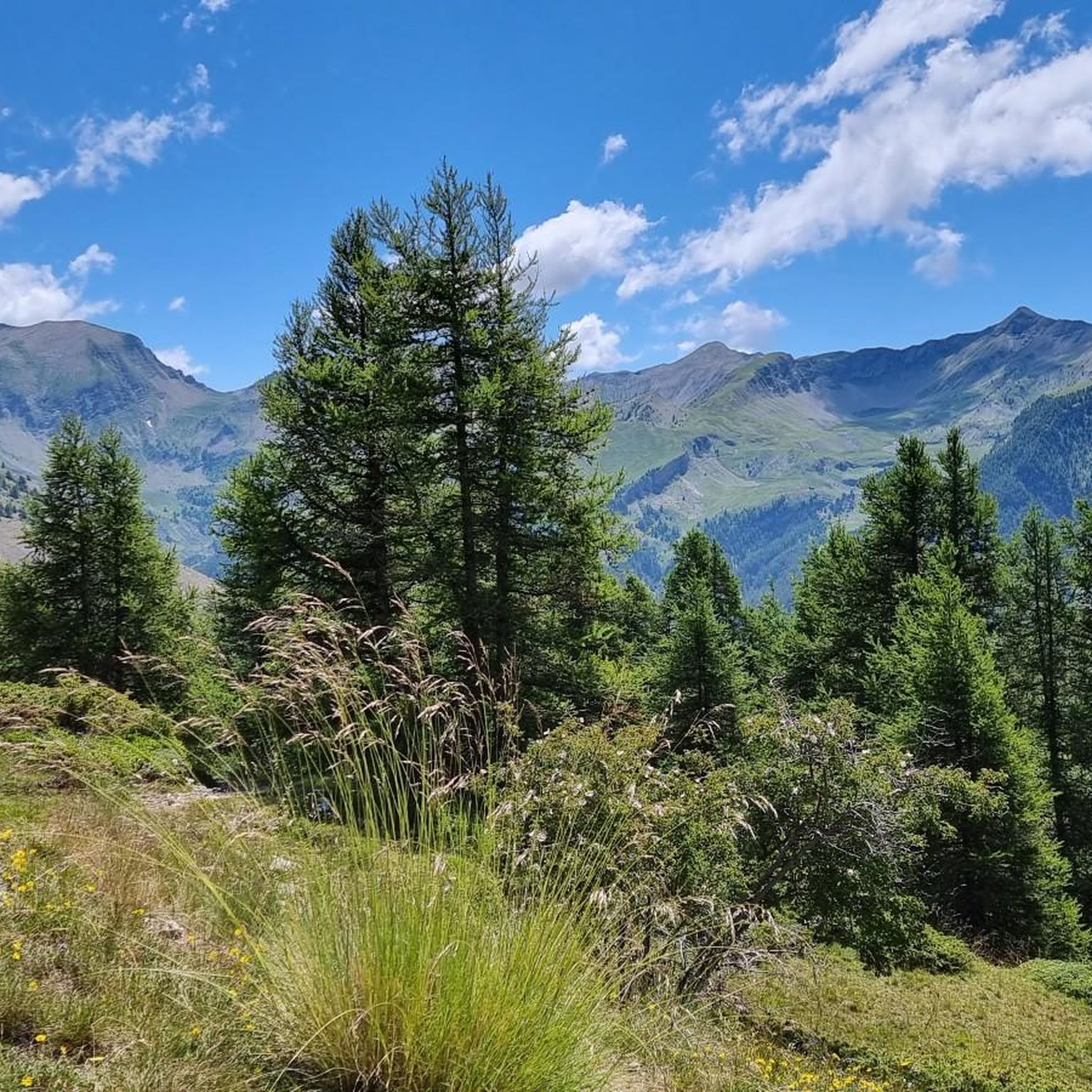
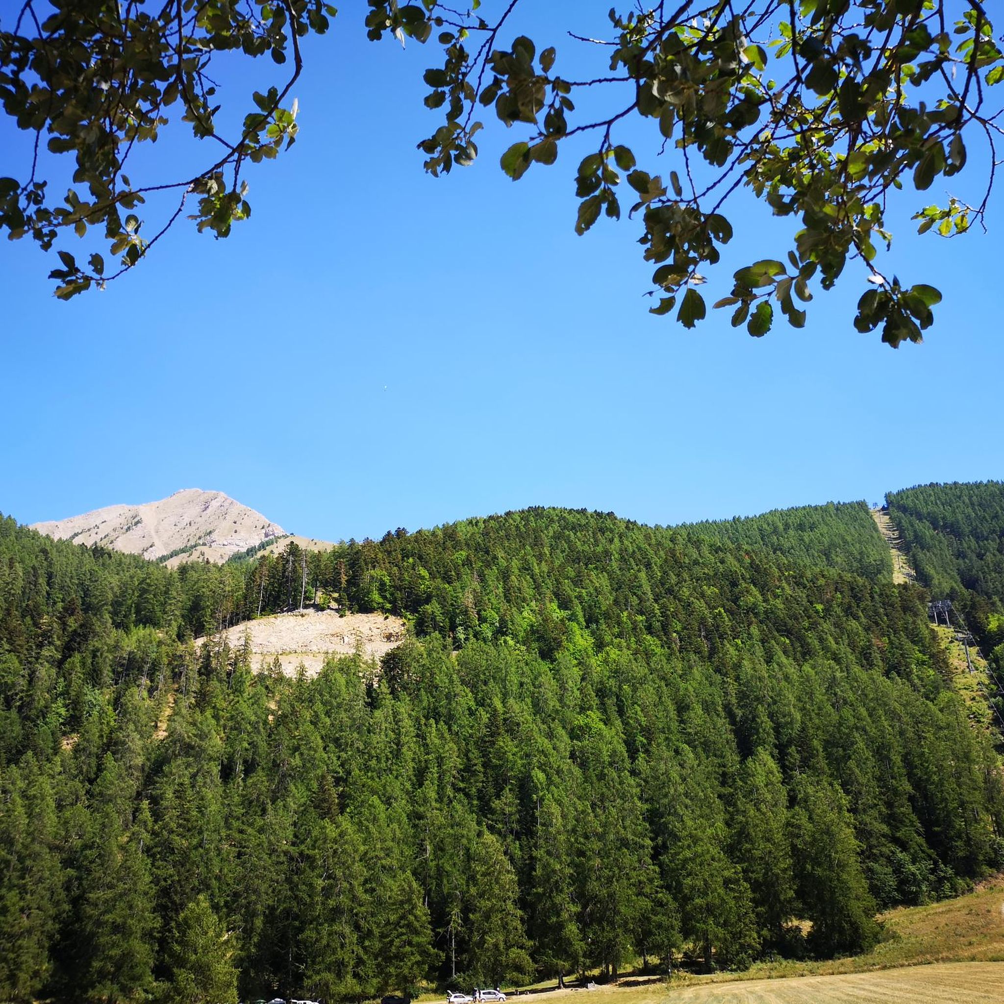
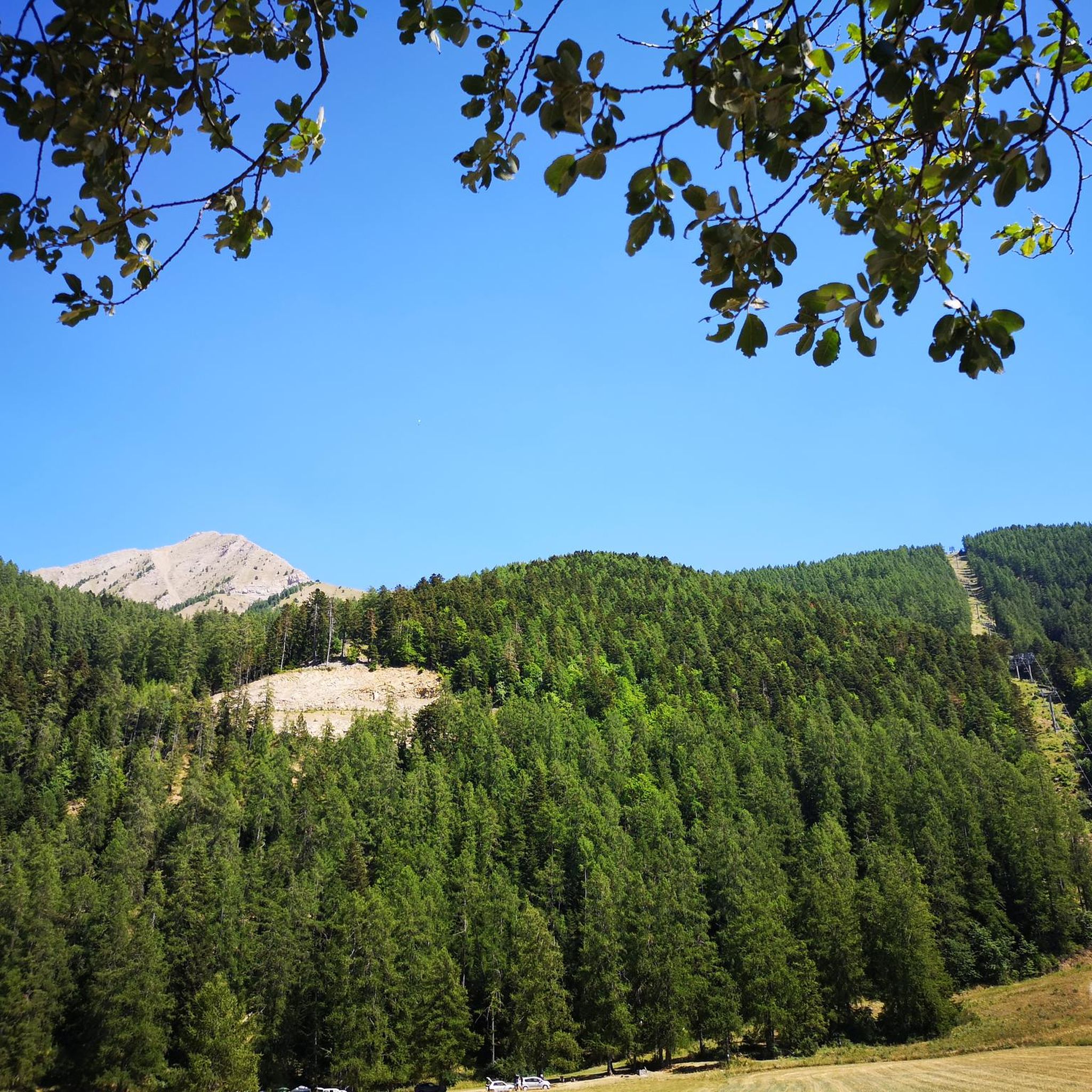
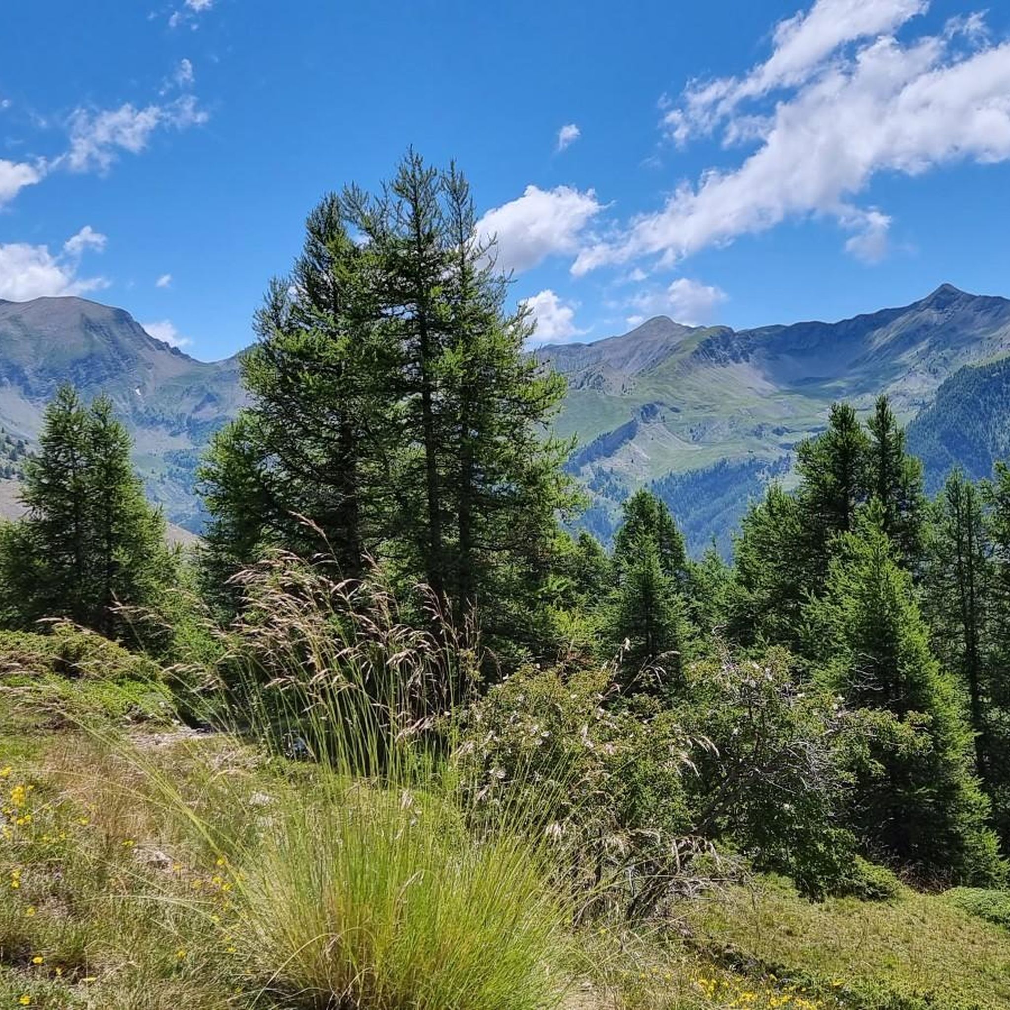
Road cycling routes around Saint-Léger-Les-Mélèzes are situated within the Champsaur Valley in the Hautes-Alpes department, offering access to varied terrain. The region is characterized by larch forests and provides panoramic views of the Vieux Chaillol massif and the Ancelle plateau. Its location near the Écrins National Park offers a base for accessing renowned mountain passes in the French Alps, known for significant elevation gains. The area's landscape includes streams and rivers, providing diverse cycling environments.
Best road cycling routes around…
Last updated: July 15, 2026
4.8
(4)
142
riders
Moderate road ride. Good fitness required. Some segments of this route may be unpaved and difficult to ride.
5.0
(6)
62
riders
58.7km
03:16
1,280m
1,280m
Hard road ride. Very good fitness required. Mostly well-paved surfaces and easy to ride.

Sign up for free
4.7
(3)
100
riders
92.3km
05:03
1,850m
1,850m
Hard road ride. Very good fitness required. Mostly well-paved surfaces and easy to ride.
4.3
(6)
90
riders
35.7km
02:09
910m
910m
Hard road ride. Very good fitness required. Mostly well-paved surfaces and easy to ride.
4.5
(2)
85
riders
92.1km
05:09
2,010m
2,010m
Hard road ride. Very good fitness required. Mostly well-paved surfaces and easy to ride.
Get access to more routes and recommendations from other explorers.
Sign up for free
Already have an account?
Our route recommendations are based on thousands of hikes, rides, and runs completed by other people on komoot.
Start today with a free account
Your next adventure awaits.
Login or Signup
Tips from the Community

great detox course
0
0


Perfect spot for sailing. I recommend the wingfoil and funboard school right next to the red bus (ask for Thierry)
0
0

The 11 km climb to Cole is initially varied, then steep, but the scenery is stunning. A must for every road cyclist!
0
0

don't forget to look backwards during the first climax or you willen miss this nice view!
0
0

Beautiful and useful fountain with fresh water
1
1

Very nice and well known climb with beautiful scenery.
0
0

Easy climb with no traffic and perfect asphalt.
14
0
Frequently Asked Questions
How many road cycling routes are available around Saint-Léger-Les-Mélèzes?
There are over 60 road cycling routes around Saint-Léger-Les-Mélèzes, offering a wide range of options for different skill levels, from moderate to difficult.
What is the best time of year for road cycling in Saint-Léger-Les-Mélèzes?
The region benefits from a sunny and dry climate, making summer an excellent time for road cycling. However, given its location in the Hautes-Alpes, it's always wise to check local weather conditions, especially when planning to tackle higher mountain passes.
Are there challenging road cycling routes with significant elevation gains?
Yes, Saint-Léger-Les-Mélèzes is an excellent base for accessing some of the most renowned and challenging road cycling climbs in the French Alps. Routes like the Saint-Apollinaire Viewpoint – Lake Serre-Ponçon loop from Ancelle feature over 2,000 meters of elevation gain, providing a formidable test for enthusiasts.
Are there any family-friendly or easier road cycling options?
While the region is known for its challenging terrain, there are some easier routes available. The area offers a mix of easy, moderate, and difficult ability levels, with 3 easy routes and 35 moderate routes among the total. These routes often feature less intense climbs and more gradual gradients, suitable for a more relaxed ride.
What kind of scenery can I expect on road cycling routes in this region?
Road cycling around Saint-Léger-Les-Mélèzes is defined by stunning mountain passes, magnificent larch forests, and panoramic views of the Champsaur valley. You can expect vistas of the Vieux Chaillol massif, the Petite and Grande Autane mountains, and the Ancelle plateau. Some routes also offer views of the Écrins Mountains, such as the View of the Écrins Mountains – Col de Moissière (1573 m) loop from Chabottes.
What are some notable landmarks or viewpoints along the routes?
Many routes offer spectacular viewpoints. For instance, the Viewpoint – Champoleon valley loop from Saint-Léger-les-Mélèzes provides panoramic views of the Champsaur valley. You can also find highlights like the Col de Moissière (1573 m), which is a popular mountain pass offering great views.
Are there any loop routes available for road cyclists?
Yes, many of the road cycling routes in the area are designed as loops, allowing you to start and finish in the same location. Examples include the Viewpoint – Champoleon valley loop from Saint-Léger-les-Mélèzes and the View of the Écrins Mountains – La Chaup loop from Ancelle.
What do other road cyclists say about the routes in Saint-Léger-Les-Mélèzes?
The routes in Saint-Léger-Les-Mélèzes are highly rated by the komoot community, with an average score of 4.7 stars from over 90 reviews. Cyclists often praise the diverse terrain, the challenging climbs, and the breathtaking views of the Champsaur valley and surrounding mountains.
Are there opportunities for cafe stops or accommodation along the routes?
The Champsaur valley and surrounding villages, including Saint-Léger-les-Mélèzes, offer various amenities. While specific cafe stops are not detailed for every route, you'll find villages like Saint-Bonnet-en-Champsaur (Saint-Bonnet-en-Champsaur) that provide options for refreshments and accommodation, especially in tourist-oriented areas.
Can I find routes that pass by natural features like waterfalls or lakes?
The region's diverse landscape includes cascading waterfalls fed by melted snow, and streams and rivers flowing through the forests. Some routes, like the Saint-Apollinaire Viewpoint – Lake Serre-Ponçon loop from Ancelle, lead through varied terrain around Lake Serre-Ponçon, offering beautiful waterside scenery.
Is public transport or parking available near the cycling routes?
While specific public transport links directly to trailheads are not detailed, Saint-Léger-les-Mélèzes and nearby towns offer parking facilities. It's advisable to check local information for the most convenient parking spots depending on your chosen starting point.
Are there any specific mountain passes I should aim to cycle?
The Hautes-Alpes region is famous for its legendary mountain passes. While many are challenging, you can find passes like the Col de Moissière (1573 m), Gardette Pass, and Col du Viallet in the vicinity, offering iconic climbs and breathtaking views.
Most popular routes around Saint-Léger-Les-Mélèzes
Most popular attractions around Saint-Léger-Les-Mélèzes

Get inspired with the komoot mobile app


Explore more
Browse the best Road cycling routes in other regions.
