The 5 Most Amazing Peaks around Étoile-Saint-Cyrice
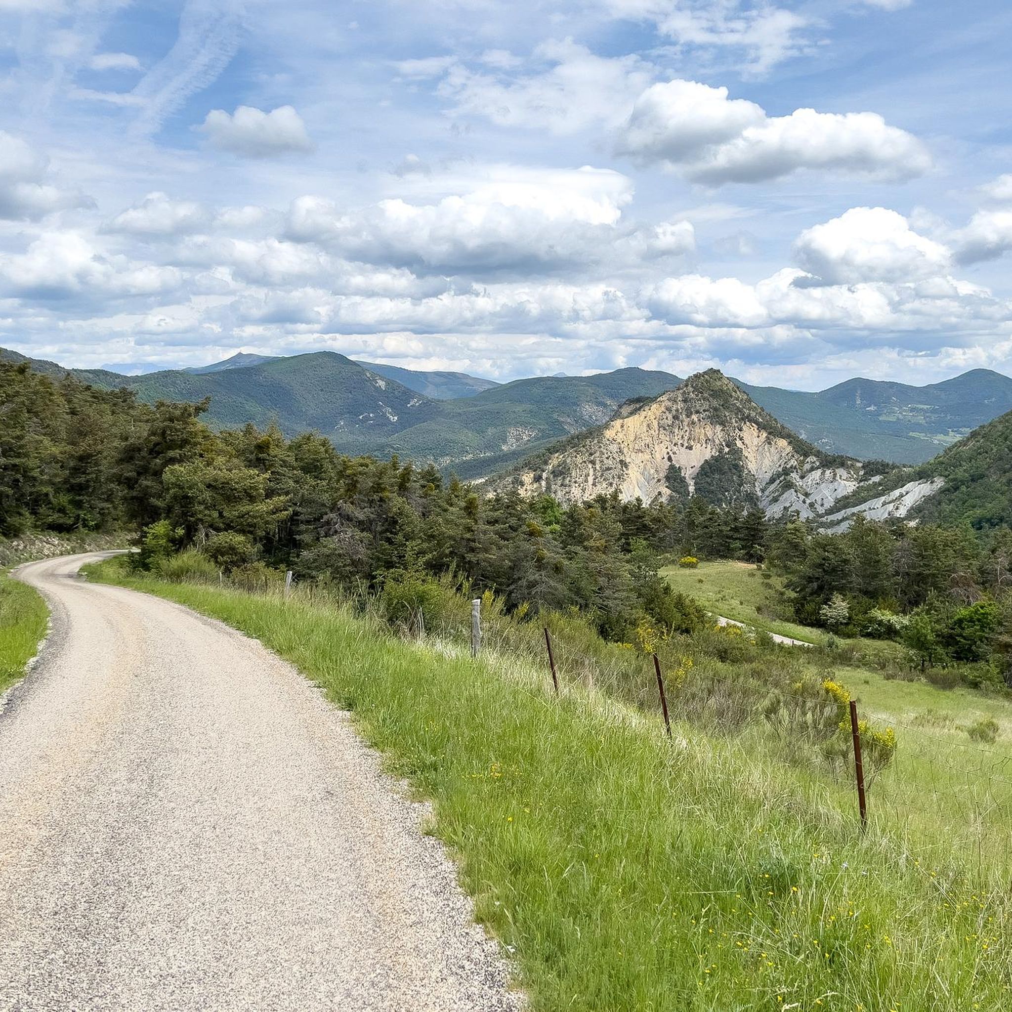
Best mountain peaks around Étoile-Saint-Cyrice are found within a mid-mountain landscape, part of the Regional Natural Park of the Baronnies Provençales. The commune features an average elevation of 959 meters, with its highest point reaching 1,296 meters. This elevated position provides panoramas over forests, meadows, and "terres noires" landscapes. The area offers extensive hiking and cycling opportunities, including trails leading to historical sites like the 12th-century Romanesque chapel of Saint-Cyrice.
Best mountain peaks around Étoile-Saint-Cyrice
- The most popular mountain peaks…
Last updated: July 1, 2026
Chamouse Mountain
Highlight • Summit
Translated by Google •
Tip by

Saint-Ange Pass
Highlight • Summit
Translated by Google •
Tip by

Sign up now to discover places like this
Get recommendations on the best single tracks, peaks, & plenty of other exciting outdoor places.
Sign up for free
View from the Summit of Rocher de Saint-Michel
Highlight • Viewpoint
The access is steep and a little sporty good hiking shoes imperative😉
Translated by Google •
Tip by

Le Rochasson
Highlight • Summit
Translated by Google •
Tip by
Ridge line
Highlight (Segment) • Summit
Translated by Google •
Tip by
Start today with a free account
Your next adventure awaits.
Login or Signup
Tips from the Community

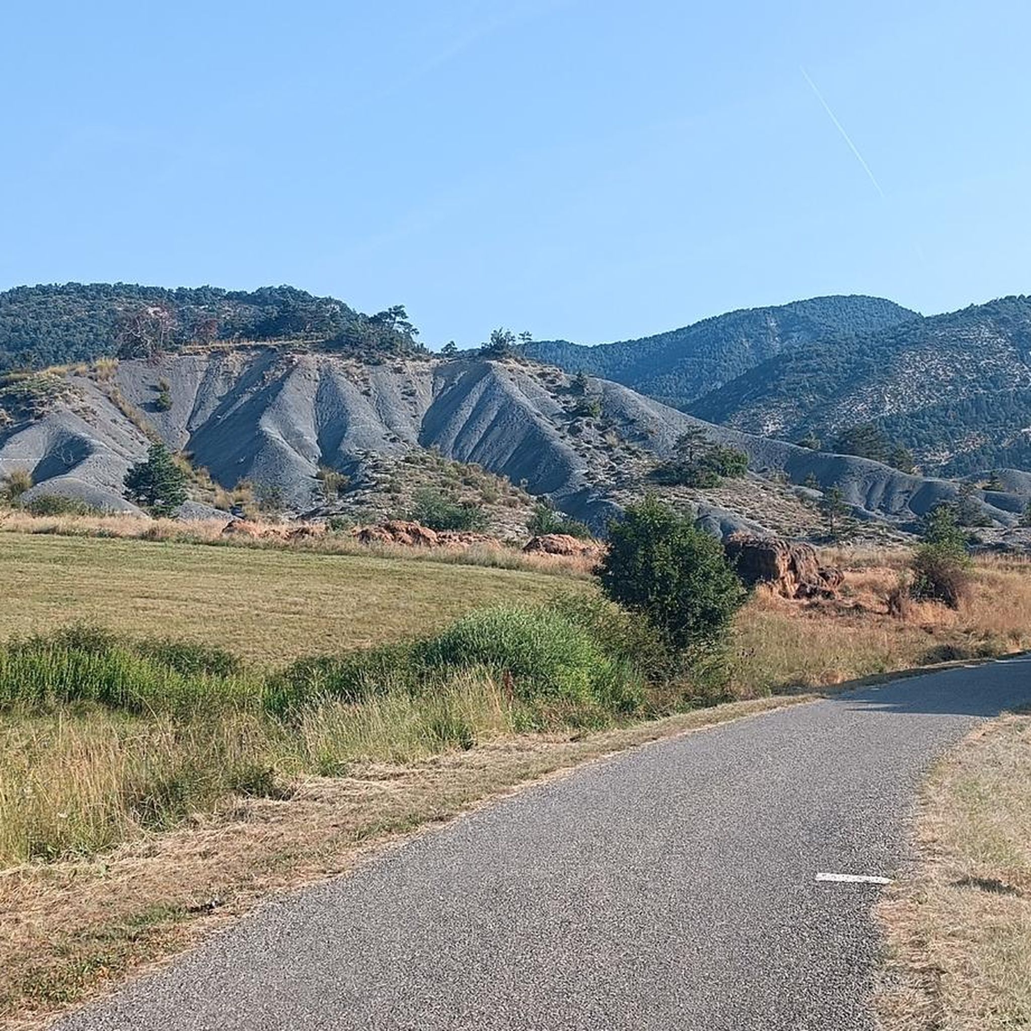
Located on the crests of the Rocher de Beaumont, south of Serres, the summit of Rochasson culminates at an altitude of 1,420 meters.
0
0
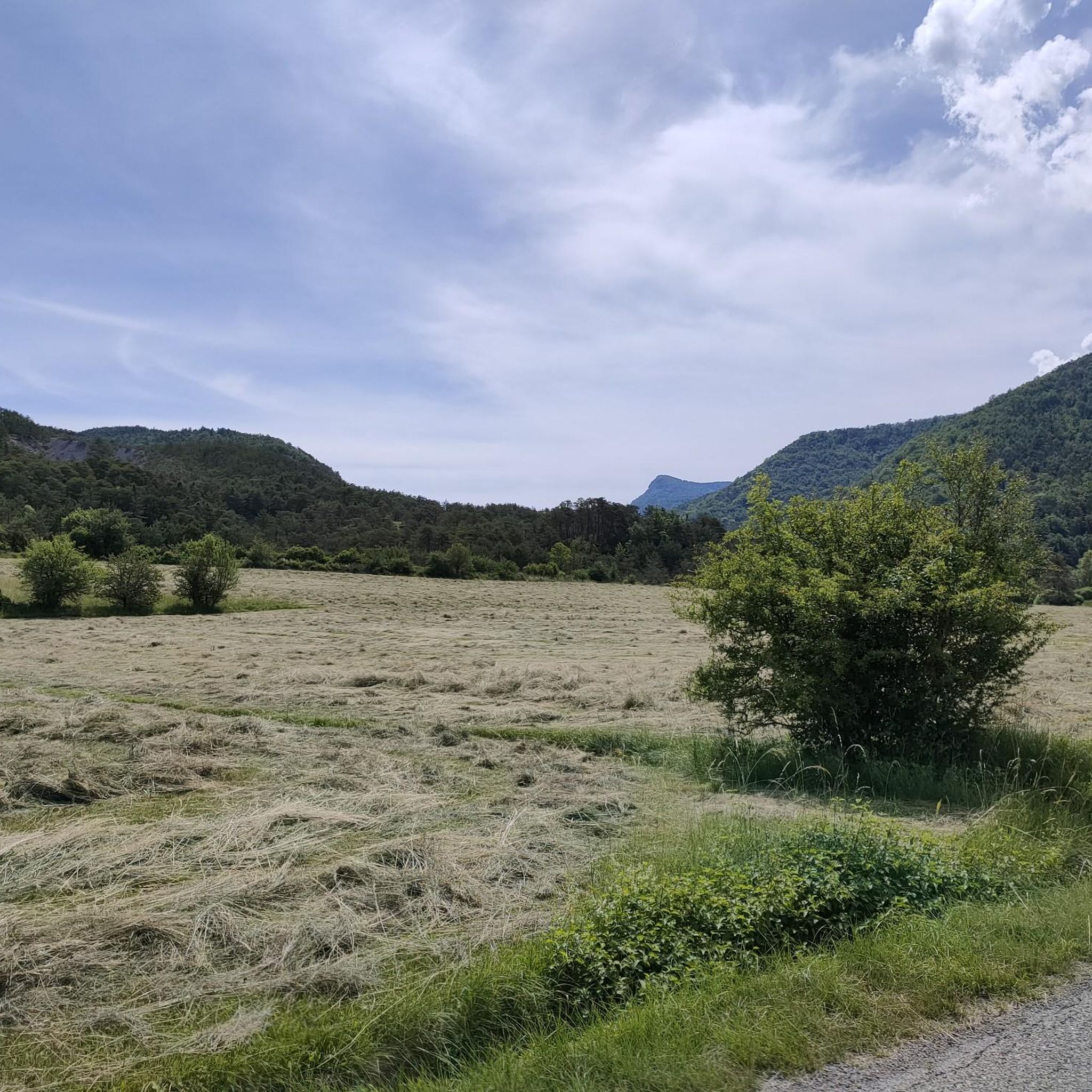
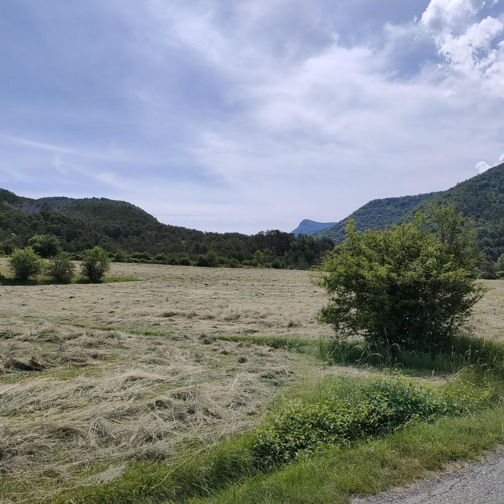
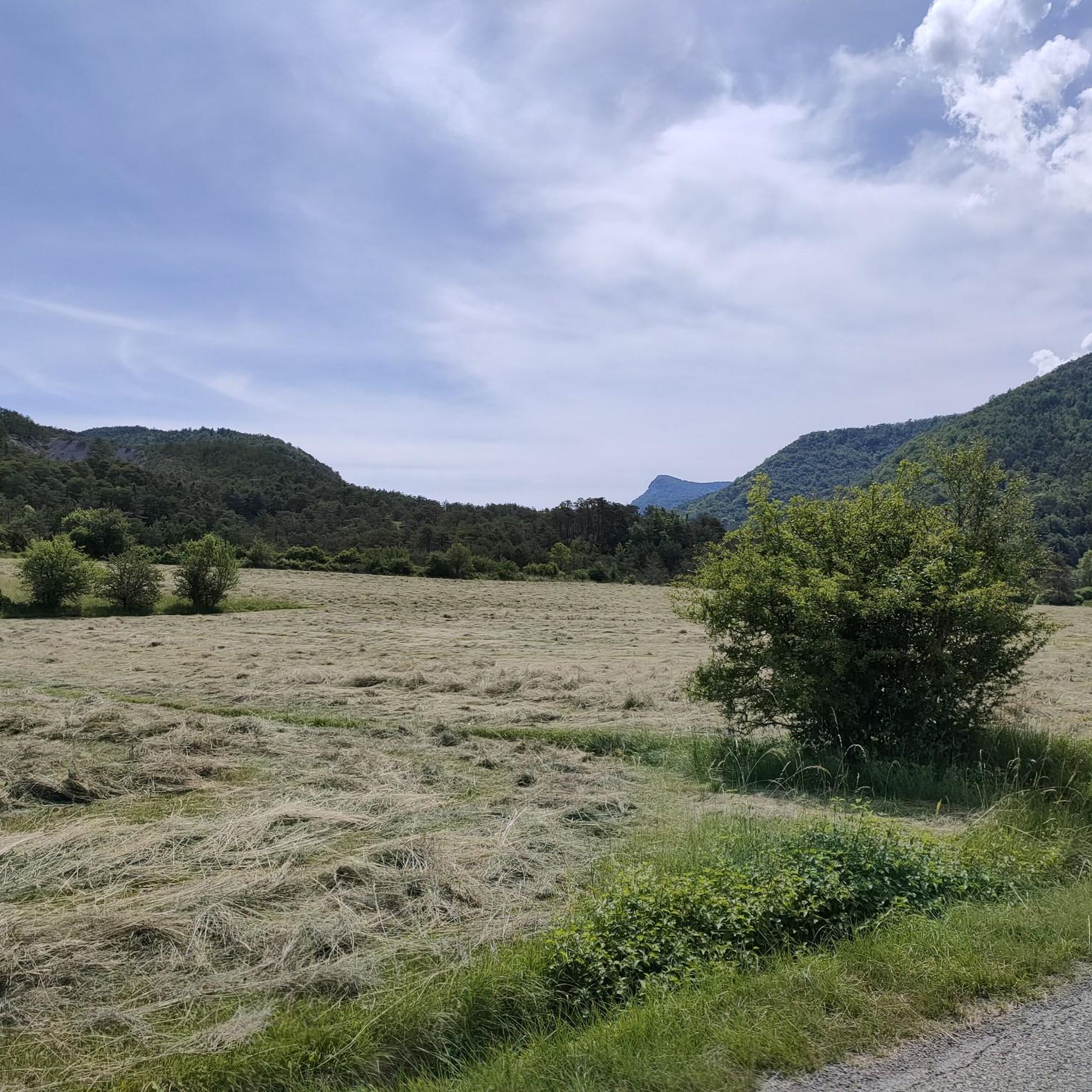
This part on the ridge line is simply magnificent. The views are breathtaking. You can see some large birds of prey flying here.
0
0
Located on the Chabre mountain, the Col Saint-Ange peaks at an altitude of 1,238 meters. Its summit part offers exceptional views all the way to the Alps.
0
0

Sublime 360-degree panorama, to the north, over the Devoluy and Vercors massifs, to the south-west, to Mont Ventoux (non-exhaustive list).
2
0

Accessible from Orpierre, marked in PR (yellow), the rock offers you a magnificent panoramic view. The access is steep and a little sporty good hiking shoes imperative😉
1
0
Frequently Asked Questions
What are the most notable elevated points or viewpoints in the Étoile-Saint-Cyrice region?
The area around Étoile-Saint-Cyrice offers several elevated points with stunning views. You can experience a 360-degree panorama from Chamouse Mountain, extending over the Devoluy and Vercors massifs to Mont Ventoux. Another excellent spot is Saint-Ange Pass on Chabre mountain, which provides exceptional views towards the Alps. For a magnificent panoramic view, consider the View from the Summit of Rocher de Saint-Michel, though it requires good hiking shoes due to its steep access.
What kind of landscapes can I expect to see when exploring the elevated areas around Étoile-Saint-Cyrice?
The Étoile-Saint-Cyrice region is characterized by a picturesque mid-mountain landscape within the Regional Natural Park of the Baronnies Provençales. You'll encounter elevated terrain offering panoramic views over 'patchworks of colored forests, meadows, and lavender fields'. The unique 'terres noires' (black earth) also contribute to spectacular barren landscapes with deep ravines, providing a diverse visual experience.
Are there family-friendly activities or historical sites to visit in the elevated areas of Étoile-Saint-Cyrice?
Yes, beyond the natural beauty, the area offers cultural and historical insights. A family-friendly walking loop around Étoile-Saint-Cyrice leads to the Romanesque chapel of Saint-Cyrice. Dating back to the 12th century, this chapel is nestled within the Saint-Cyrice state forest and is one of the oldest churches in the Hautes-Alpes, blending nature with history.
What outdoor activities can I do near the elevated points of Étoile-Saint-Cyrice?
The elevated terrain around Étoile-Saint-Cyrice is ideal for various outdoor activities. You'll find extensive hiking trails with varying levels of difficulty, allowing you to explore the diverse natural beauty. Cycling, particularly road cycling, is also popular, with a climb in Étoile-Saint-Cyrice itself ascending to 895 meters above sea level. For more specific routes, you can explore Road Cycling Routes, MTB Trails, and Cycling Routes in the area.
What is the best time of year to visit Étoile-Saint-Cyrice for mountain experiences?
The region is generally best visited during spring, summer, and early autumn. These seasons offer pleasant weather for hiking and cycling, allowing you to fully enjoy the panoramic views and diverse landscapes. Winter can bring snow to higher elevations, which might affect accessibility for some trails.
What makes the Regional Natural Park of the Baronnies Provençales, where Étoile-Saint-Cyrice is located, special?
Étoile-Saint-Cyrice is an integral part of the Regional Natural Park of the Baronnies Provençales, which is renowned for its rich biodiversity, including nearly 2,000 plant species and 203 protected animal species. The park's landscapes are a unique blend of Provence and the Alps, shaped by centuries of agricultural practices, featuring lavender fields alongside mountainous terrain. It also boasts exceptionally clear night skies, making it an excellent spot for astronomical observation.
Are there any challenging elevated points for experienced hikers around Étoile-Saint-Cyrice?
Yes, some elevated points offer more challenging access. For instance, the View from the Summit of Rocher de Saint-Michel is described as having steep and sporty access, requiring appropriate hiking shoes. The summit of Le Rochasson, culminating at 1,420 meters on the crests of the Rocher de Beaumont, also presents an intermediate challenge.
Can I expect to see wildlife, particularly birds of prey, in the elevated areas?
Yes, the elevated areas and ridge lines around Étoile-Saint-Cyrice, particularly within the Regional Natural Park of the Baronnies Provençales, are known for their rich biodiversity. On the Ridge line, for example, visitors have reported seeing large birds of prey flying, adding to the breathtaking views.
What is the highest point in the immediate vicinity of Étoile-Saint-Cyrice?
While Étoile-Saint-Cyrice is characterized by a mid-mountain landscape rather than distinct, individually named peaks, its highest point reaches 1,296 meters (approximately 4,252 feet). This elevated position provides the region with its stunning panoramic views.
Are there any specific regulations for hiking or visiting the natural areas around Étoile-Saint-Cyrice?
As Étoile-Saint-Cyrice is part of the Regional Natural Park of the Baronnies Provençales, it's advisable to respect the park's guidelines. These typically include staying on marked trails, not disturbing wildlife, taking all litter with you, and being mindful of local agricultural practices, especially around lavender fields. Always check for specific local regulations before your visit.
What do visitors particularly enjoy about the elevated experiences in Étoile-Saint-Cyrice?
Visitors consistently praise the breathtaking panoramic views from the elevated points, such as the 360-degree vista from Chamouse Mountain and the exceptional views towards the Alps from Saint-Ange Pass. The diverse landscapes, including forests, meadows, lavender fields, and the unique 'terres noires', along with the peaceful atmosphere, are also highly appreciated.
Are there opportunities for road cycling with climbs in the Étoile-Saint-Cyrice area?
Yes, road cycling is a popular activity, and the elevated terrain around Étoile-Saint-Cyrice offers several climbs. The commune itself features a climb ascending to 895 meters above sea level. You can find various routes, including moderate and difficult options, in the Road Cycling Routes around Étoile-Saint-Cyrice guide.
Most popular routes around Étoile-Saint-Cyrice
Most popular attractions around Étoile-Saint-Cyrice

Get inspired with the komoot mobile app


Explore more
See even more amazing summits around Étoile-Saint-Cyrice with these guides:
