The best road cycling routes around Étoile-Saint-Cyrice
4.6
(85)
1,662
riders
32
rides
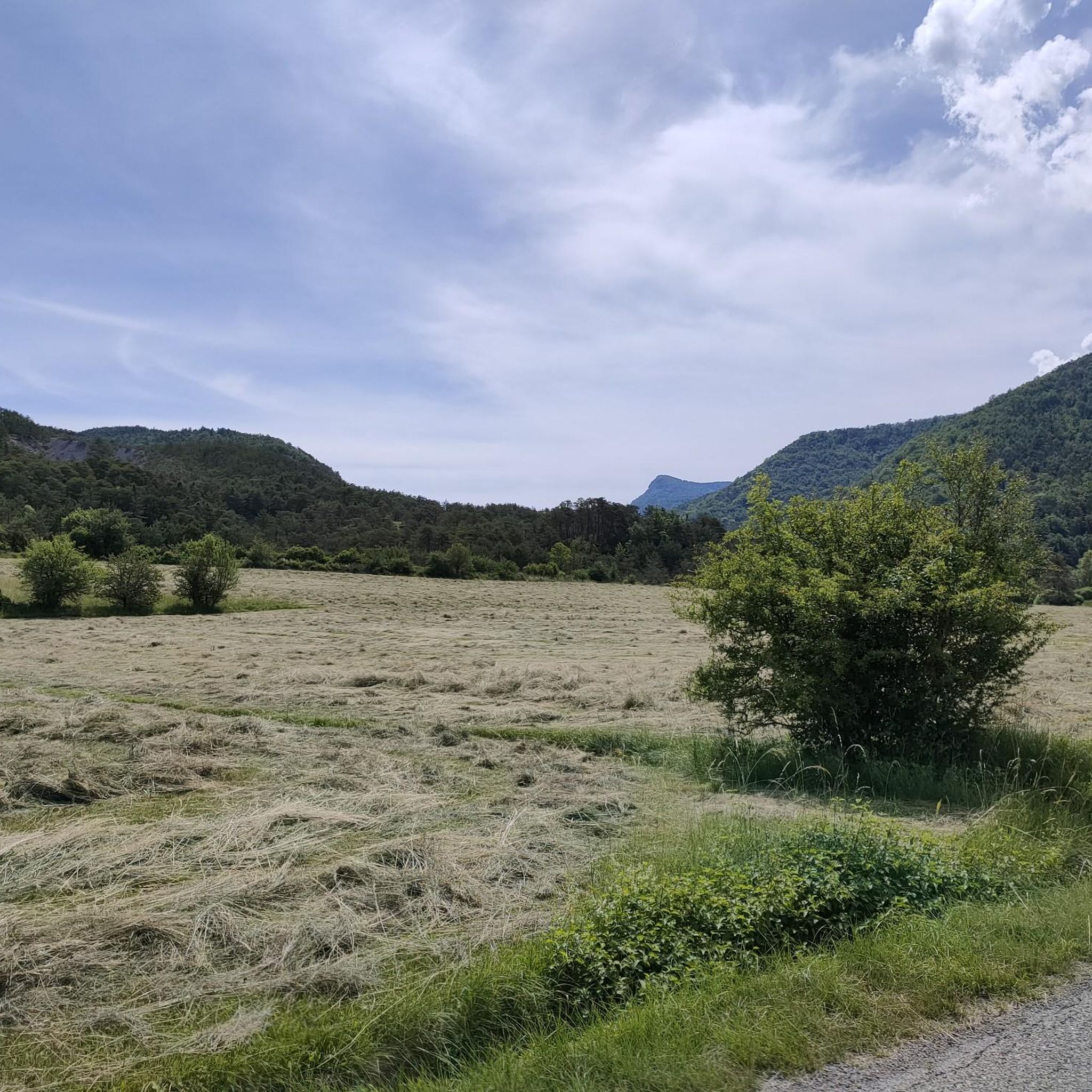
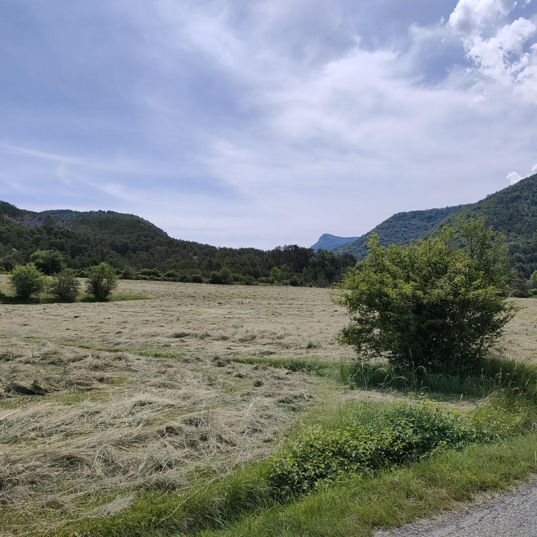
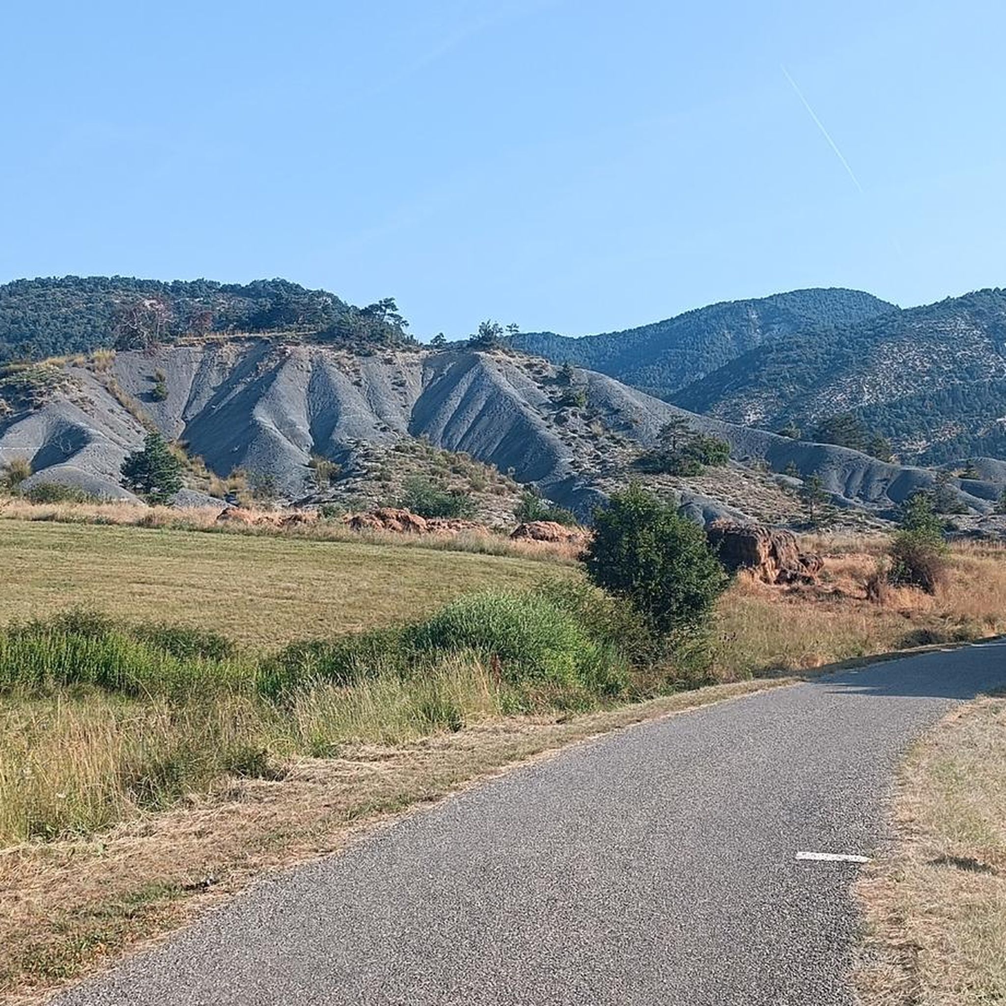
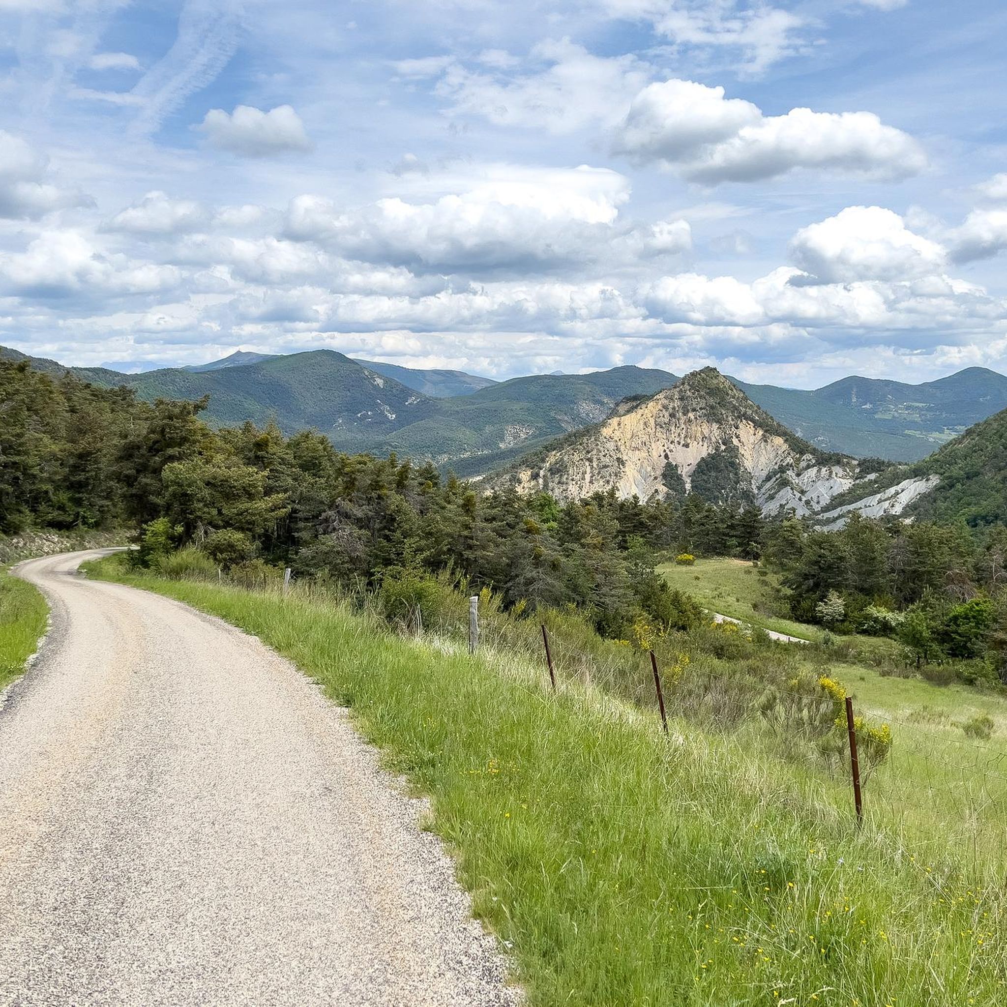
Road cycling routes around Étoile-Saint-Cyrice are set within a mid-mountain landscape at an altitude of 900 meters in the Hautes-Alpes department. The region features wild valleys, notable cols, and varied terrain suitable for road cycling. Cyclists encounter natural features such as the Gorges de la Méouge, the Montagne de Chabre, and extensive pine forests. The area's roads often provide panoramic views of the Buëch Valley and surrounding mountain ranges.
Best road cycling routes around Étoile-Saint-Cyrice
- The most popular road cycling…
Last updated: July 15, 2026
4.7
(7)
69
riders
63.7km
02:53
720m
720m
Moderate road ride. Good fitness required. Mostly well-paved surfaces and easy to ride.
4.5
(2)
71
riders
44.7km
02:23
890m
890m
Moderate road ride. Good fitness required. Mostly well-paved surfaces and easy to ride.

Sign up for free
4.0
(1)
45
riders
44.4km
02:49
970m
970m
Hard road ride. Very good fitness required. Some segments of this route may be unpaved and difficult to ride.
5.0
(2)
63
riders
72.5km
03:51
1,410m
1,410m
Hard road ride. Very good fitness required. Mostly well-paved surfaces and easy to ride.
23
riders
35.0km
01:43
540m
540m
Moderate road ride. Good fitness required. Mostly well-paved surfaces and easy to ride.
Get access to more routes and recommendations from other explorers.
Sign up for free
Already have an account?
Our route recommendations are based on thousands of hikes, rides, and runs completed by other people on komoot.
Start today with a free account
Your next adventure awaits.
Login or Signup
Tips from the Community

Building maintained in excellent condition.
6
0
The ascent to Col de la Fromagère / Col de Pommerol from Rosans is located in the Hautes-Alpes region. This ascent is 6.6 km long, with a total elevation gain of 371 m. The average gradient of the ascent to Col de la Fromagère / Col de Pommerol from Rosans is 5.6%.
4
0
The ascent to Col de la Fromagère / Col de Pommerol from Rosans is located in the Hautes-Alpes region. This ascent is 6.6 km long, with a total elevation gain of 371 m. The average gradient of the ascent to Col de la Fromagère / Col de Pommerol from Rosans is 5.6%.
3
0
Village surrounded by the Alps.
3
0
Not a very demanding climb. Asphalt in excellent condition.
1
0
Secondary road away from traffic. Asphalt in perfect condition.
8
0
For cyclists: * West side (Montauban-sur-l’Ouvèze / La Combe): 11-12.5 km with an average gradient of around 5%, maximum about 9%. Steady climb, never extreme. * East side (Laborel): 8.5 km at 5.6% on average, with peaks up to 7.7%. This is the shorter and smoother side.
12
0
Col de Perty is located in the Baronnies Provençales massif, in the Drôme department, in the Auvergne-Rhône-Alpes region, in the southeast of France. It reaches an altitude of 1,302 m and connects the Ouvèze valley with the Orpierre area, in the Hautes-Alpes.
11
0
Frequently Asked Questions
How many road cycling routes are available in Étoile-Saint-Cyrice?
There are over 30 road cycling routes around Étoile-Saint-Cyrice, catering to various skill levels. These include easy, moderate, and difficult options, with more than 1,400 road cyclists having explored the area using komoot.
What kind of terrain can I expect on road cycling routes around Étoile-Saint-Cyrice?
The region offers diverse mid-mountain terrain, with routes winding through wild valleys and featuring notable cols. You'll encounter varied landscapes, from lavender fields and marls to beautiful pine forests, often providing panoramic views of the Buëch Valley, Baronnies Provençales, and the Prealps.
Are there road cycling routes suitable for beginners or families in Étoile-Saint-Cyrice?
Yes, Étoile-Saint-Cyrice offers several easy road cycling routes. For instance, the Orpierre village centre – Orpierre loop from Orpierre is an easy 28.4 km (17.6 miles) trail with moderate elevation gain, ideal for a more relaxed ride.
What are some notable natural features or landmarks I can see while cycling?
You can explore dramatic natural features like the Gorges de la Méouge and the expansive Montagne de Chabre. The region is also known for its fragrant lavender fields and the serene Forêt domaniale de Saint-Cyrice, where you can find the historic Romanesque chapel of Saint-Cyrice. Additionally, you might pass by mountain passes such as Perty Pass or Col de Pierre Vesce.
Are there any routes that offer panoramic views?
Many routes in Étoile-Saint-Cyrice provide stunning panoramic views. For example, rides through the Céans valley offer aerial views of Villebois-Les-Pins and the Chabre mountain ridges. The roads frequently open up to vistas of the Buëch Valley, the Baronnies Provençales, the Dévoluy, and the Écrins.
Can I find challenging climbs for advanced road cyclists in the region?
Absolutely. The mid-mountain setting of Étoile-Saint-Cyrice includes several cols and significant elevation gains suitable for advanced cyclists. Routes like the Buesch dam – Orpierre loop from Orpierre are classified as difficult, featuring over 1,200 meters (3,900 feet) of ascent.
What is the best time of year for road cycling in Étoile-Saint-Cyrice?
The region is generally excellent for outdoor activities, including road cycling, during warmer months. The presence of lavender fields suggests late spring to summer for the most picturesque rides, while the mid-mountain altitude ensures pleasant conditions. Always check local weather forecasts before heading out.
Are there circular road cycling routes available?
Yes, many road cycling routes in Étoile-Saint-Cyrice are designed as loops. Popular options include the Serres – Montjay loop from Orpierre and the Faye Pass – Buesch dam loop from Orpierre, allowing you to start and finish at the same point.
What do other road cyclists enjoy most about road cycling in Étoile-Saint-Cyrice?
The area is highly rated by the komoot community, with an average score of 4.4 stars from over 70 reviews. Cyclists often praise the varied terrain, the picturesque mid-mountain landscapes, and the serene experience of riding through wild valleys and pine forests, often accompanied by the scent of pines.
Are there any historical sites or cultural points of interest along the routes?
Beyond natural beauty, the region boasts historical attractions. You can find ancient churches and castles that have shaped the Southern French Alps' landscapes for centuries. The Romanesque chapel of Saint-Cyrice, one of the oldest churches in the Hautes-Alpes, is located within the Forêt domaniale de Saint-Cyrice and can be a point of interest during your ride.
Are there specific routes that follow historical paths?
Yes, some routes in the region incorporate historical paths. For example, the Serres – Montjay loop from Orpierre partly follows sections of the historic Route of the Princes of Orange, offering a blend of cycling and cultural heritage.
What is the elevation profile like for road cycling in Étoile-Saint-Cyrice?
Given its mid-mountain setting, road cycling in Étoile-Saint-Cyrice typically involves significant elevation changes. Routes often feature challenging ascents, such as the Col de Perty, which, while long, generally maintains an incline of no more than 6%, followed by rewarding descents. You can expect a mix of climbs and rolling hills.
Most popular routes around Étoile-Saint-Cyrice
Most popular attractions around Étoile-Saint-Cyrice

Get inspired with the komoot mobile app


Explore more
Browse the best Road cycling routes in other regions.
