The best gravel rides around Étoile-Saint-Cyrice
4.7
(3)
27
riders
9
rides
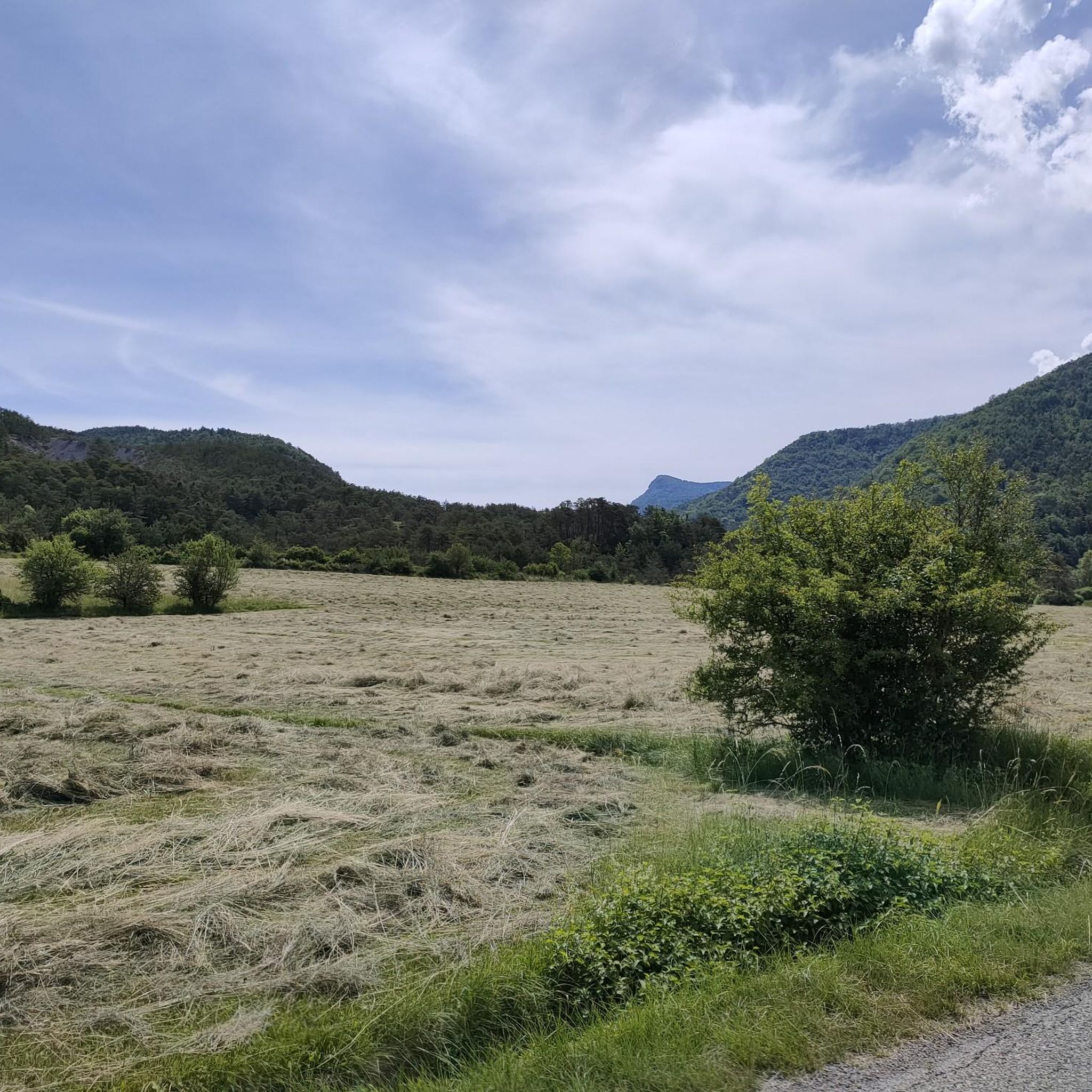
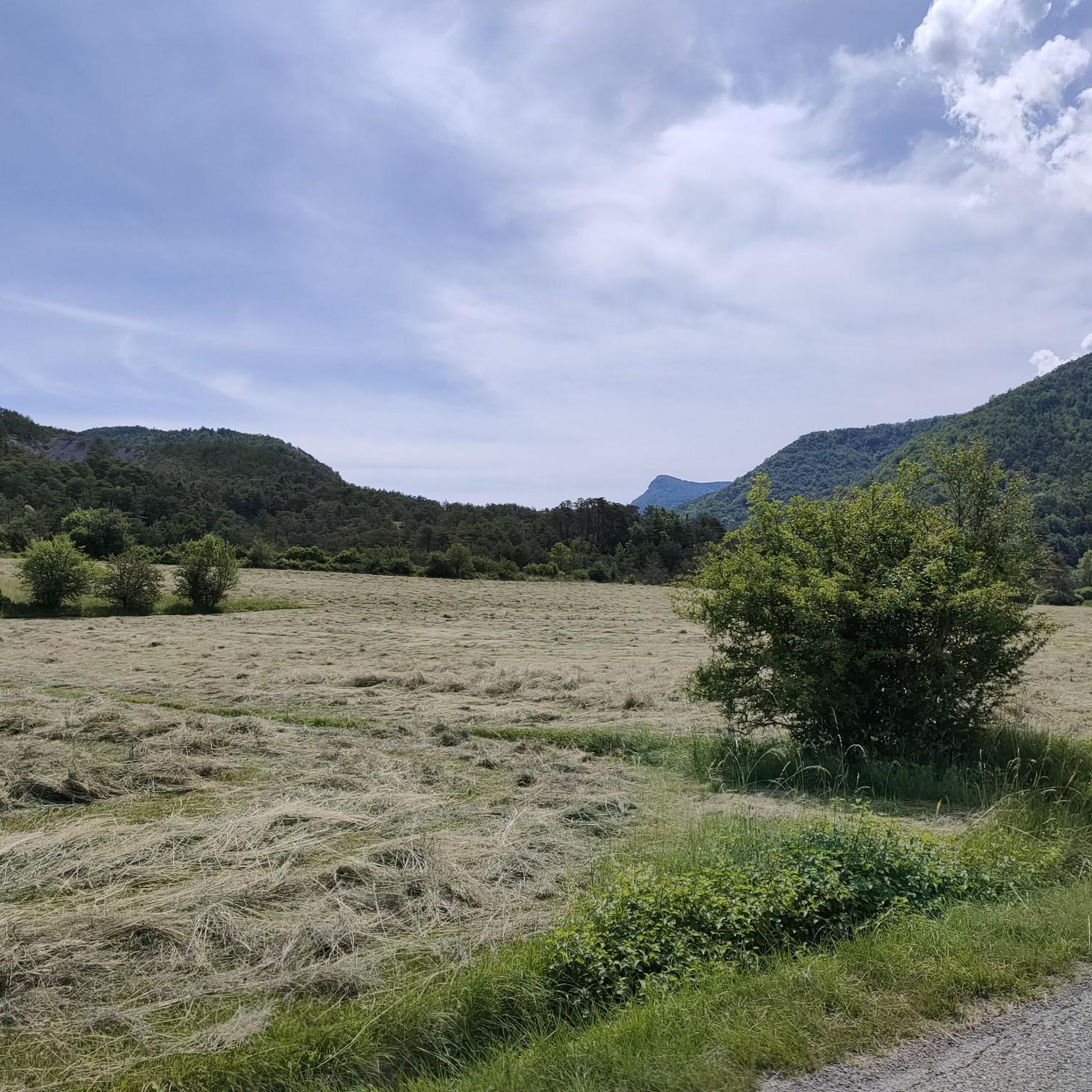
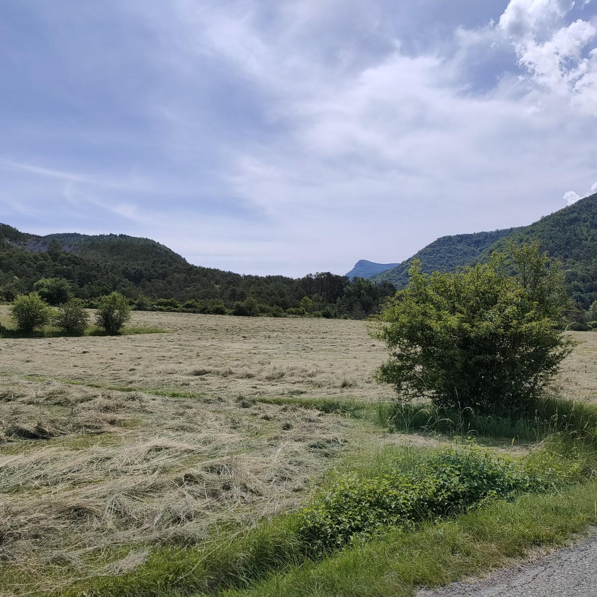
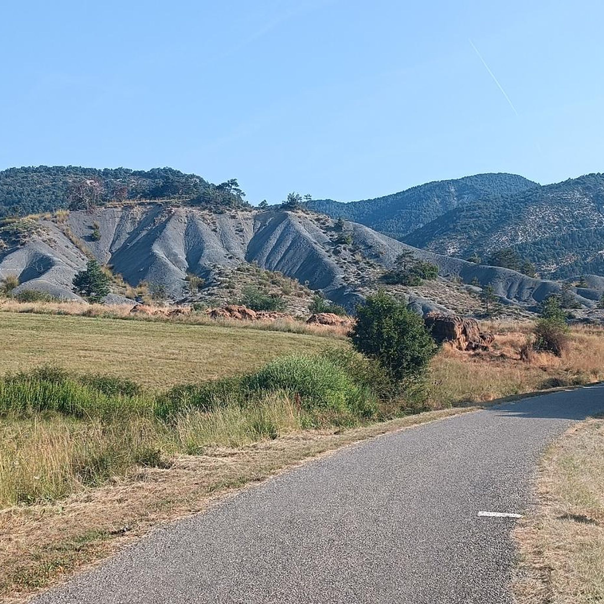
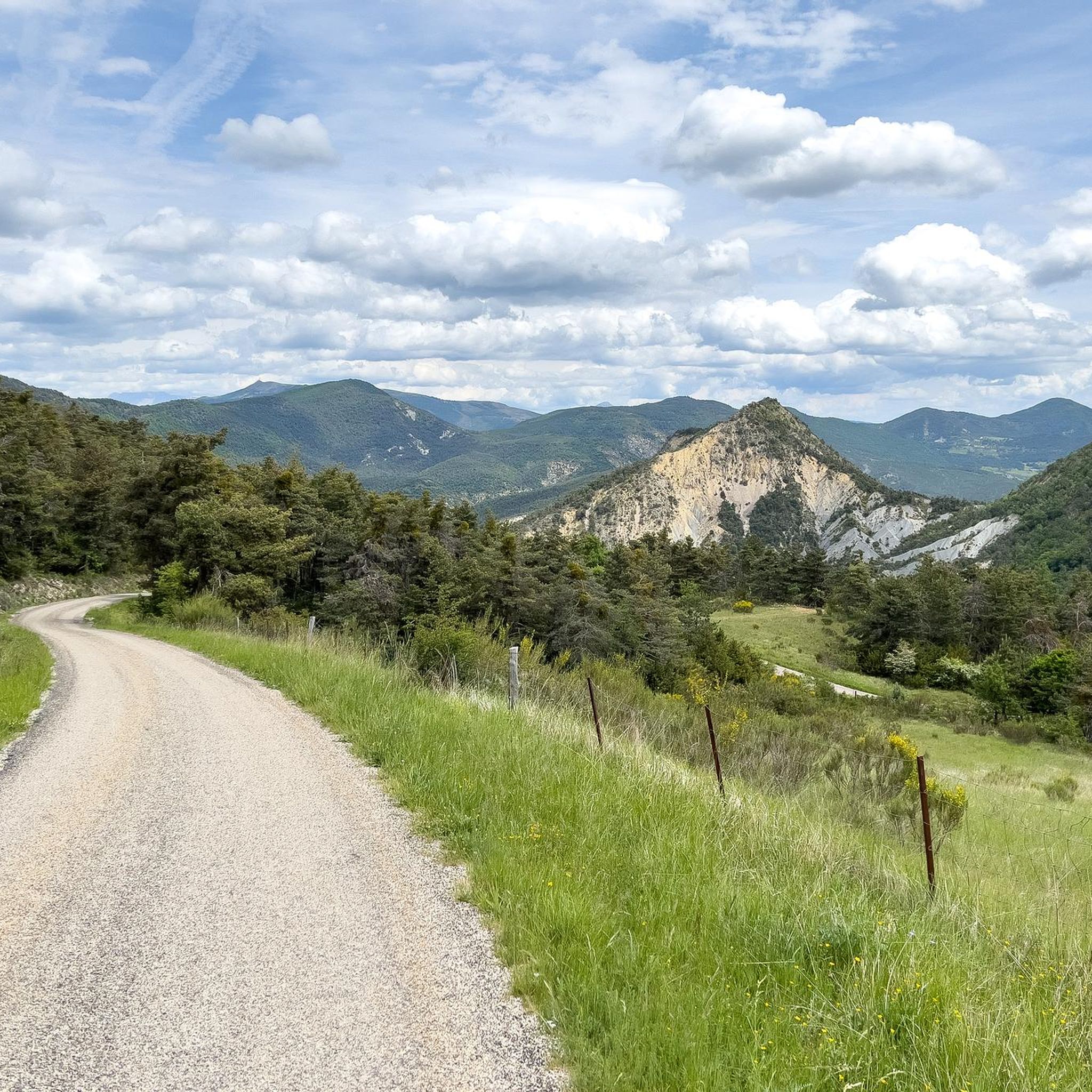
Gravel biking around Étoile-Saint-Cyrice offers routes through varied terrain, characterized by rural paths, valley landscapes, and the foothills of the surrounding mountains. The region features a mix of open countryside, forested limestone escarpments, and deep winding gorges, providing diverse conditions for gravel riders. Riders can traverse through fragrant lavender fields and pine forests, with elevations varying to include significant climbs and descents. The area is set against the backdrop of the Southern French Alps, offering a mid-mountain environment suitable for gravel biking.
Best gravel bike trails around Étoile-Saint-Cyrice
- The most popular gravel bike trail is Orpierre – Méouge Valley loop from Sainte-Colombe, a 31.0 miles (49.9 km) trail that takes 4 hours 14 minutes to complete. This difficult route explores the scenic Méouge Valley with notable elevation gains.
- Another top favourite among local gravel bikers is Orpierre – Orpierre village centre loop from Sainte-Colombe, a difficult 12.2 miles (19.6 km) path. This route features rural paths and climbs around the village center, offering views of the local landscape.
- Local gravel bikers also love the Orpierre – Orpierre village centre loop from Orpierre, a 14.2 miles (22.9 km) trail leading through rural surroundings and local hills, often completed in about 1 hour 57 minutes.
- Gravel biking around Étoile-Saint-Cyrice is defined by rural paths, valley views, and challenging ascents in the mountain foothills. The network offers options for moderate to difficult ability levels.
- The routes in Étoile-Saint-Cyrice are highly rated by the komoot community with an average score of 5.0 stars from 2 reviews. More than 10 gravel bikers have used komoot to explore Étoile-Saint-Cyrice's varied terrain.
Last updated: July 4, 2026
5.0
(1)
11
riders
68.3km
04:30
1,230m
1,230m
Hard gravel ride. Very good fitness required. Mostly paved surfaces. Suitable for all skill levels.
4
riders
19.6km
01:26
510m
510m
Hard gravel ride. Very good fitness required. Mostly paved surfaces. Suitable for all skill levels.

Sign up for free
2
riders
22.9km
01:57
600m
590m
Hard gravel ride. Very good fitness required. Mostly paved surfaces. Suitable for all skill levels.
1
riders
19.1km
01:44
600m
590m
Hard gravel ride. Very good fitness required. Mostly paved surfaces. Suitable for all skill levels.
4.0
(1)
2
riders
63.2km
04:40
1,270m
1,270m
Hard gravel ride. Very good fitness required. Mostly paved surfaces. Suitable for all skill levels.
Get access to more routes and recommendations from other explorers.
Sign up for free
Already have an account?
Our route recommendations are based on thousands of hikes, rides, and runs completed by other people on komoot.
Start today with a free account
Your next adventure awaits.
Login or Signup
Tips from the Community

Building maintained in excellent condition.
9
0
Altitude: 1,159 m * Region: Drôme, on the border with the Hautes-Alpes department. * Connects: the villages of Laborel and Lachau with the Céans valley.
5
0
The Méouge gorges are a spectacular natural canyon located between the departments of Hautes-Alpes and Drôme, in the southeast of France. They are renowned for their turquoise waters, limestone cliffs, and numerous natural pools where you can swim in the summer.
10
0
The Gorges de la Méouge are a spectacular natural canyon located between the departments of Hautes-Alpes and Drôme, in the South-East of France. They are renowned for their turquoise waters, limestone cliffs, and numerous natural pools where you can swim in the summer.
11
0
Orpierre is a small medieval village located in the Hautes-Alpes department in the Provence-Alpes-Côte d’Azur region of southeastern France. It has a population of between 300 and 330 inhabitants and stands in the Céans valley, surrounded by limestone cliffs and mountains that give it a unique landscape setting.
18
0
Orpierre is a small medieval village located in the Hautes-Alpes, in the Provence-Alpes-Côte d'Azur region, in southeastern France.
15
0
The Méouge valley (French: *Vallée de la Méouge*, sometimes also called *Val Buëch-Méouge*) is a small natural valley in the southeast of France, located between the Drôme Provençale and the Hautes-Alpes, in the Baronnies Provençales region.
9
0
Frequently Asked Questions
How many gravel bike trails are available around Étoile-Saint-Cyrice?
There are 10 gravel bike routes available around Étoile-Saint-Cyrice, offering a variety of experiences for riders.
What are the typical difficulty levels for gravel biking in Étoile-Saint-Cyrice?
The routes around Étoile-Saint-Cyrice are primarily categorized as moderate to difficult. You'll find 3 moderate routes and 7 difficult routes, often featuring significant climbs and varied terrain.
Are there any easy or beginner-friendly gravel bike trails in the area?
While the region is known for its more challenging terrain, with most routes being moderate to difficult, there are no routes specifically classified as easy. Riders new to gravel biking might find the moderate options, such as the Orpierre village centre – Orpierre loop from Orpierre, more approachable, but should be prepared for some elevation.
What kind of terrain can I expect on gravel bike trails around Étoile-Saint-Cyrice?
Gravel biking in Étoile-Saint-Cyrice is characterized by rural paths, scenic valley landscapes, and the foothills of surrounding mountains. You'll encounter a mix of open countryside and more secluded sections, with elevations varying and some routes including significant climbs and descents.
What do other gravel bikers enjoy most about the trails in Étoile-Saint-Cyrice?
The area is highly rated by the komoot community, with an average score of 5.0 stars from 2 reviews. Riders often praise the varied terrain, challenging ascents, and the scenic beauty of the Méouge Valley and local landscapes.
Are there any circular gravel bike routes in Étoile-Saint-Cyrice?
Yes, many of the gravel bike routes in Étoile-Saint-Cyrice are circular. For example, you can explore the Orpierre – Méouge Valley loop from Sainte-Colombe or the Orpierre – Orpierre village centre loop from Sainte-Colombe, both offering a complete loop experience.
What are some notable landmarks or attractions I can see near the gravel bike trails?
The region offers several interesting points of interest. You can pass through the charming village of Orpierre, or experience the dramatic Gorges de la Méouge. Mountain passes like Perty Pass and Saint-Jean Pass also offer stunning views.
What is the typical duration for gravel bike rides in Étoile-Saint-Cyrice?
The duration of gravel bike rides varies depending on the route and your pace. Shorter routes like the Orpierre village centre – Orpierre loop from Orpierre can be completed in about 1 hour 29 minutes, while longer, more challenging routes such as the Orpierre – Méouge Valley loop from Sainte-Colombe may take around 4 hours 14 minutes.
Are there any challenging gravel bike routes for experienced riders?
Absolutely. Étoile-Saint-Cyrice is well-suited for experienced gravel bikers, with 7 out of 10 routes classified as difficult. The Orpierre – Orpierre village centre loop from Orpierre, for instance, covers 22.9 km with significant elevation gains, providing a good challenge.
When is the best time of year to go gravel biking in Étoile-Saint-Cyrice?
The region is generally best explored during spring and autumn when temperatures are milder and the landscapes are vibrant. Summer can be hot, especially on exposed sections, while winter might bring colder conditions and potential snow at higher elevations, making some routes less accessible.
Is Étoile-Saint-Cyrice suitable for gravel biking with dogs?
While specific dog-friendly regulations for each trail are not always listed, many rural paths in the region are generally suitable for well-behaved dogs on a leash. Always ensure your dog is fit enough for the distance and elevation, and carry plenty of water for both of you, especially on longer routes.
Are there opportunities for refreshments or cafes along the gravel bike routes?
Many routes pass through or near villages like Orpierre, where you can typically find cafes or small shops for refreshments. It's always a good idea to check opening hours in advance, especially in smaller hamlets, and carry sufficient water and snacks for your ride.
Most popular routes around Étoile-Saint-Cyrice
Most popular attractions around Étoile-Saint-Cyrice

Get inspired with the komoot mobile app


Explore more
Browse the best Gravel rides in other regions.
