The best road cycling routes around Lieuche
4.6
(11)
1,500
riders
18
rides
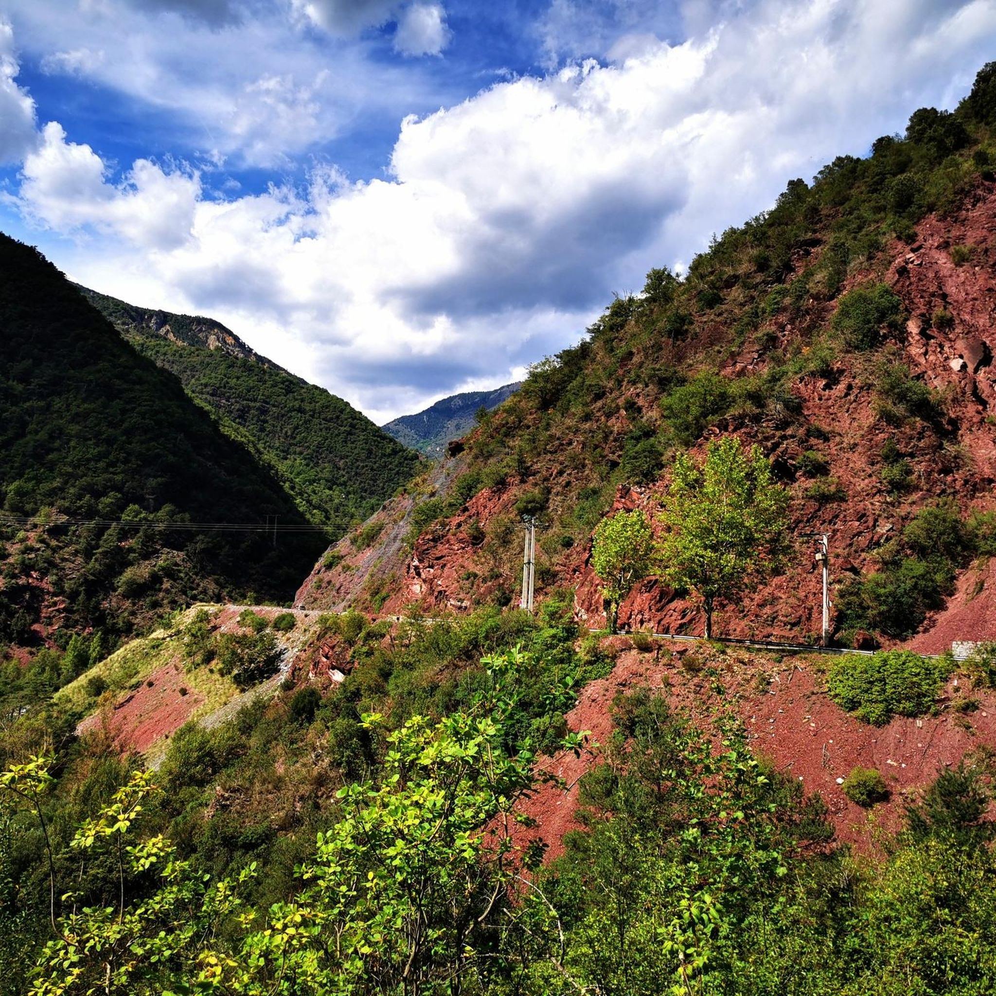
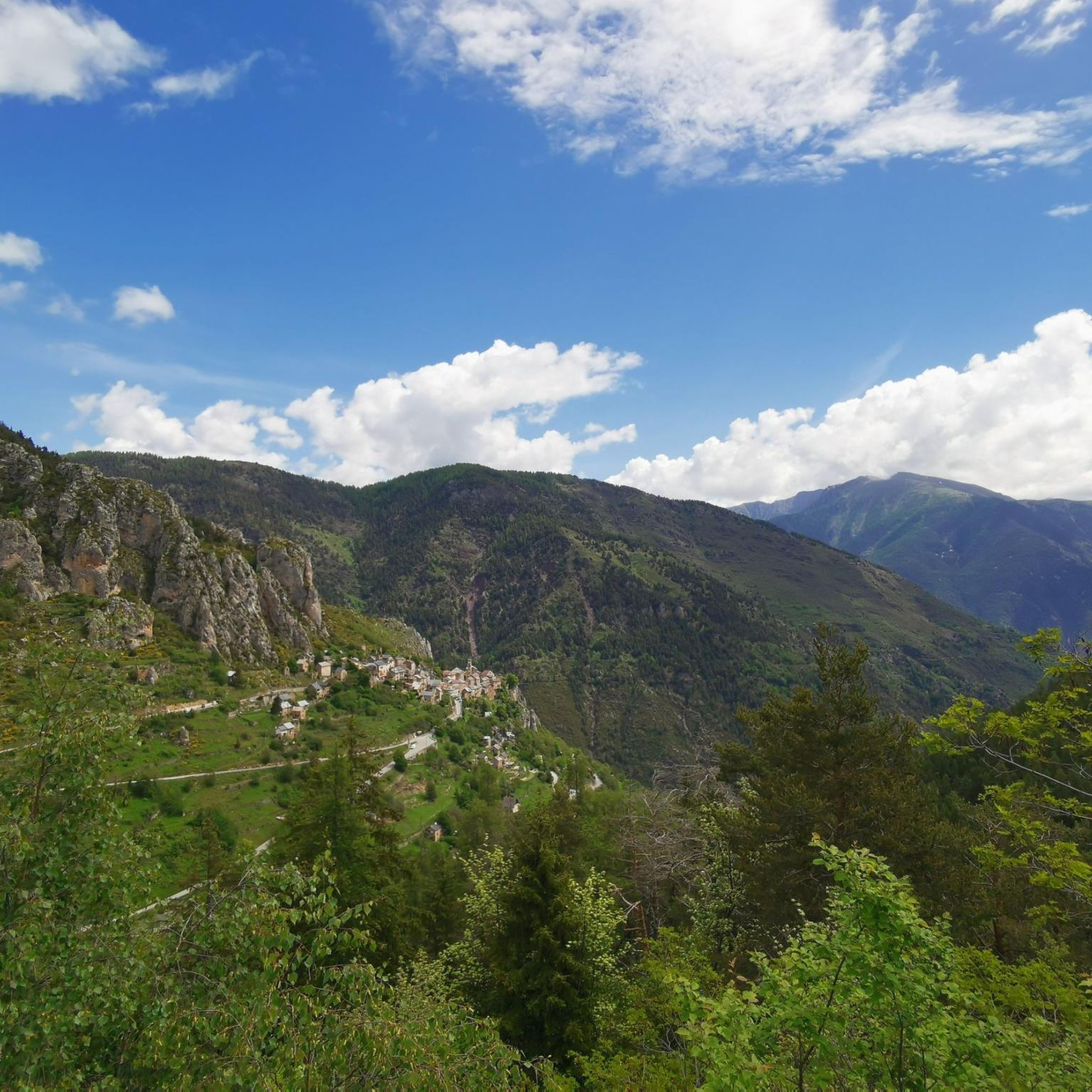
Road cycling routes around Lieuche are set within a preserved valley in the Alpes-Maritimes department of southeastern France, characterized by steep mountains and challenging ascents. The region features numerous mountain passes, including Col du Raton, Col Saint-Martin, and Col de la Couillole, offering significant elevation gains. Cyclists can navigate tiny, narrow panoramic roads that wind through wild landscapes of eroded black marl and wooded mountains, providing a scenic and demanding environment. The nearby Gorges du Cians also present dramatic landscapes…
Last updated: July 13, 2026
4.0
(2)
172
riders
69.0km
04:37
2,310m
2,310m
This difficult 42.9-mile road cycling loop tackles the challenging Col de la Couillole and the stunning red canyons of Gorges du Cians.
5.0
(1)
266
riders
43.9km
02:45
1,250m
1,250m
Hard road ride. Very good fitness required. Some segments of this route may be unpaved and difficult to ride.

Sign up for free
151
riders
88.0km
05:49
2,750m
2,750m
Hard road ride. Very good fitness required. Mostly well-paved surfaces and easy to ride.
5.0
(1)
121
riders
69.7km
04:16
1,900m
1,900m
Hard road ride. Very good fitness required. Mostly well-paved surfaces and easy to ride.
163
riders
45.4km
02:59
1,430m
1,430m
Hard road ride. Very good fitness required. Mostly well-paved surfaces and easy to ride.
Get access to more routes and recommendations from other explorers.
Sign up for free
Already have an account?
Our route recommendations are based on thousands of hikes, rides, and runs completed by other people on komoot.
Start today with a free account
Your next adventure awaits.
Login or Signup

Tips from the Community

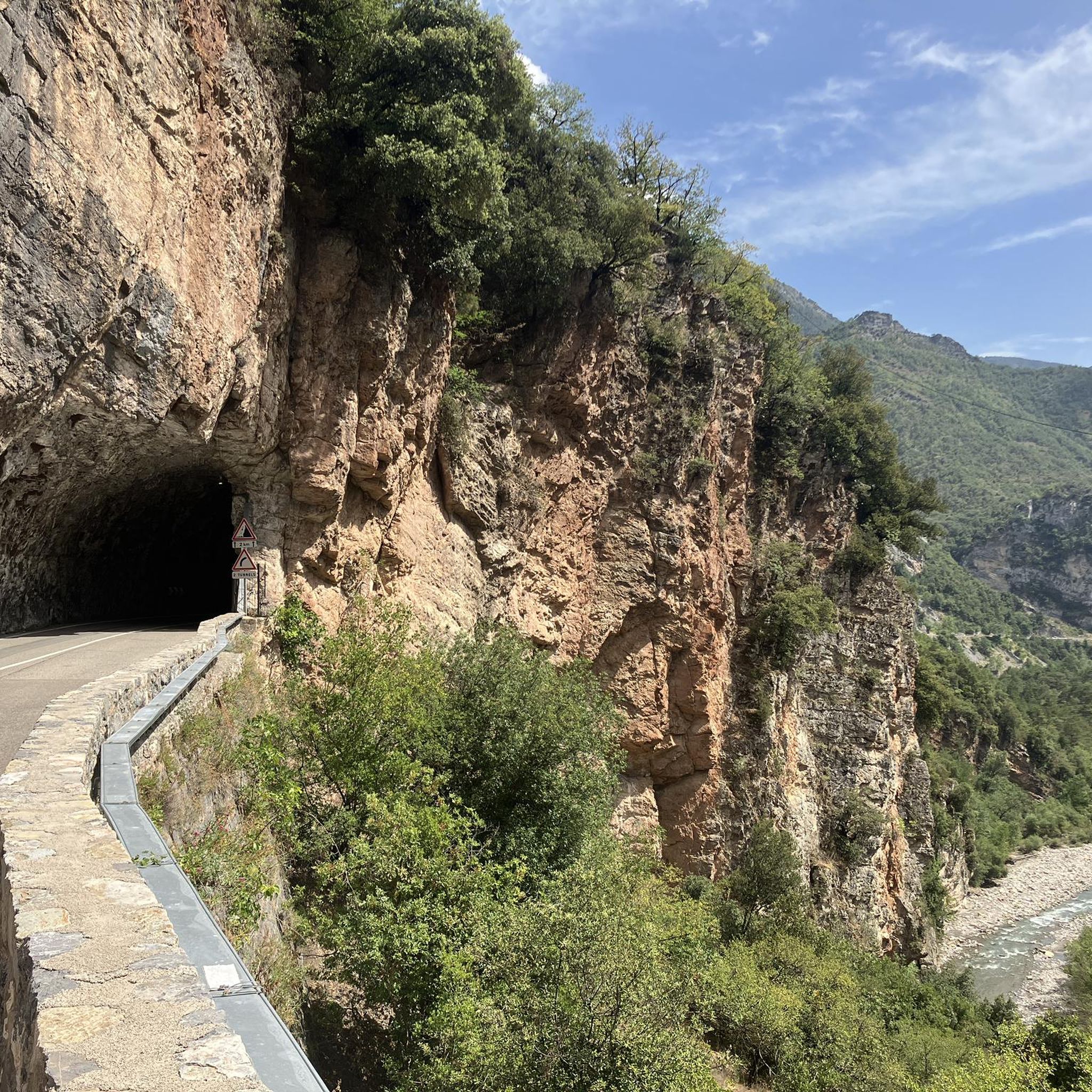
Please note, I visited on October 12, 2025 and the fountain wasn't working! Perhaps it only works in the summer?
0
0

The Col de Sainte-Anne is a pass at an altitude of 425 meters in the French department of Bouches-du-Rhône.
0
1
The Col de la Couillole is a mountain pass in the Massif du Mercantour-Argentera of the French Alps, situated at an altitude of 1,678 m (5,505 ft) in the Alpes-Maritimes department, France. The road connection is open for six to seven months of the year, allowing travel between the Cians gorges in the west and the Tinée valley in the east.
0
0
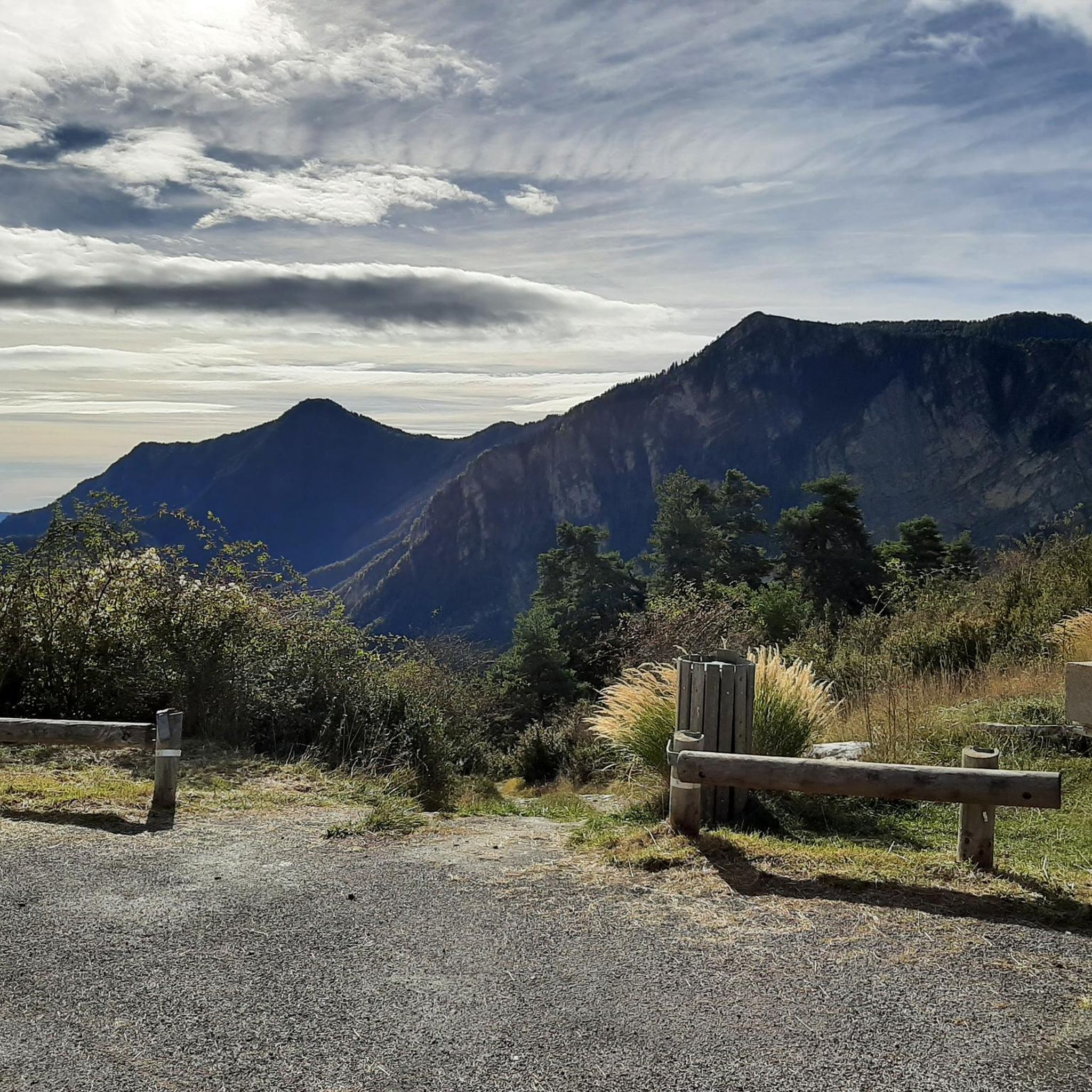
The Col Saint-Martin Pass, or Col de la Colmiane, is a mountain pass in the Southern Alps located at an altitude of 1,500 meters in the Alpes-Maritimes department of France. It provides a year-round road link between the Tinée Valley to the west and the Vésubie Valley to the east.
0
0
The Col de la Couillole is a mountain pass in the Massif du Mercantour-Argentera of the French Alps, situated at an altitude of 1,678 m (5,505 ft) in the Alpes-Maritimes department, France. The road connection is open for six to seven months of the year, allowing travel between the Cians gorges in the west and the Tinée valley in the east.
0
0
The Col Saint-Martin Pass, or Col de la Colmiane, is a mountain pass in the Southern Alps located at an altitude of 1,500 meters in the Alpes-Maritimes department of France. It provides a year-round road link between the Tinée Valley to the west and the Vésubie Valley to the east.
0
0
Col Saint Martin (el. 1500 m.) is a high mountain pass in the Alps in the department of Alpes-Maritimes in France.[1] It is traversed by the D-2205 highway.[2] The place has been crossed at the Tour de France road cycling race in 1973, 1975 and 2020, as well as at multiple editions of the Paris-Nice.
0
0

In July during the week there was almost no traffic, making it a completely relaxed drive up.
0
0
Frequently Asked Questions
How many road cycling routes are available around Lieuche?
There are over 15 road cycling routes around Lieuche, with the majority offering challenging ascents and descents through the region's mountainous terrain. You'll find options primarily for experienced cyclists.
What kind of terrain can I expect when road cycling near Lieuche?
Road cycling near Lieuche is characterized by steep mountains, challenging ascents to notable passes like Col du Raton and Col de la Couillole, and tiny, narrow panoramic roads. You'll ride through wild landscapes of eroded black marl, pine forests, and wooded mountains, including dramatic sections like the Gorges du Cians.
Are there road cycling routes suitable for beginners in Lieuche?
While Lieuche is known for its challenging terrain, there is at least one route classified as easy. However, the majority of the 18 available routes are rated as difficult, making the area more suited for experienced road cyclists seeking significant climbs and descents.
Where can I find challenging road cycling routes around Lieuche?
Lieuche is an excellent destination for challenging road cycling. Routes like the Col de la Couillole and Gorges du Cians Loop, or the Gorges du Cians – Ascent to Col de la Couillole loop from Rigaud - Le Cians, feature significant elevation gains and demanding climbs through mountain passes and gorges.
What scenic viewpoints or natural features can I discover along road cycling routes near Lieuche?
Many routes offer breathtaking views. You can experience the dramatic red cliffs of the Gorges du Cians, panoramic vistas of the Tinée Valley, and the alpine meadows around passes like Col du Raton. The region's preserved valley and wooded mountains also provide a serene backdrop for your rides.
Are there any notable landmarks or attractions to explore near the road cycling routes?
Yes, beyond the natural beauty, you can explore points of interest such as the charming village of Roubion or the historic Ascros Village and Castle. The region is also home to several significant mountain passes like Col Saint-Martin and Col de la Couillole, which are landmarks in themselves for cyclists.
Is parking available for cyclists in Lieuche?
While specific designated cycling parking areas are not detailed, Lieuche is a small village, and general parking should be available. It's advisable to check local signage upon arrival for the most convenient spots to begin your ride.
Can I reach Lieuche by public transport with my bike?
Information on public transport options specifically accommodating bikes to Lieuche is limited. Given its location in a preserved valley, public transport might be infrequent or not directly bike-friendly. It's recommended to check regional bus services (e.g., Lignes d'Azur in Alpes-Maritimes) for current routes and bike policies before planning your trip.
Are there any specific permits required for road cycling in the Alpes-Maritimes region?
Generally, no specific permits are required for road cycling on public roads in the Alpes-Maritimes department. However, if your route ventures into protected natural areas or national parks, it's always wise to check their specific regulations regarding cycling to ensure compliance.
What do other road cyclists enjoy the most about road cycling in Lieuche?
The road cycling routes around Lieuche are highly rated by the komoot community, with an average score of 4.75 stars from over 9 reviews. Cyclists often praise the challenging ascents, the stunning panoramic views, and the wild, preserved nature of the landscapes, particularly the dramatic Gorges du Cians.
Are there any good loop routes for road cycling around Lieuche?
Yes, Lieuche offers several excellent loop routes for road cyclists. A popular choice is the Col de la Couillole (1,678 m) – Col de la Couillole loop from Marie, which provides a substantial climb and a rewarding circular journey through the mountainous terrain.
What is the best time of year for road cycling in Lieuche?
The Alpes-Maritimes region generally offers good cycling conditions for much of the year. However, given Lieuche's mountainous location and high passes, late spring through early autumn (May to October) is typically the best time, when roads are clear of snow and temperatures are most favorable for challenging climbs. Always check local weather conditions before heading out.
Most popular attractions around Lieuche

Get inspired with the komoot mobile app


Explore more
Browse the best Road cycling routes in other regions.
