The best running trails around Villers-Sur-Saulnot
4.2
(30)
768
runners
90
runs
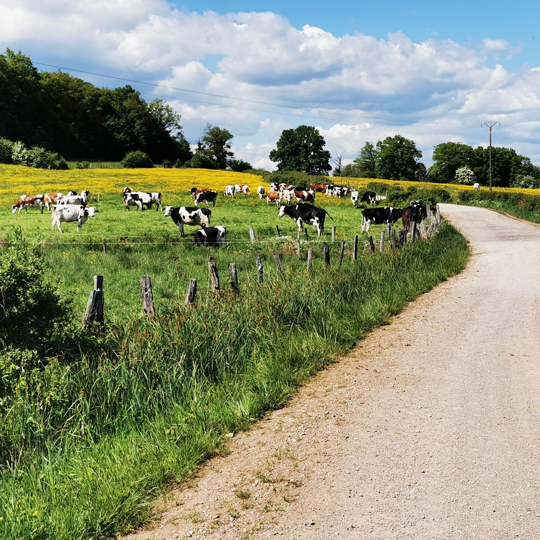
Jogging routes around Villers-Sur-Saulnot offer a diverse terrain for outdoor enthusiasts in the Haute-Saône department of eastern France. The region features an elevation range from 365m to 500m, providing a mix of gentle slopes and more challenging ascents. Characterized by picturesque natural features such as meadows, ponds, and woodlands, the area presents a serene backdrop for physical activity. Its generally rolling topography makes it suitable for various running experiences.
Best jogging routes around Villers-Sur-Saulnot
- The most popular jogging route is…
Last updated: June 29, 2026
7
runners
8.31km
00:55
110m
110m
Moderate run. Good fitness required. Mostly paved surfaces. Suitable for all skill levels.
7
runners
10.4km
01:10
170m
170m
Moderate run. Good fitness required. Mostly paved surfaces. Suitable for all skill levels.

Sign up for free
7
runners
8.24km
00:57
110m
110m
Moderate run. Good fitness required. Mostly paved surfaces. Suitable for all skill levels.
5
runners
8.99km
00:57
80m
80m
Moderate run. Good fitness required. Mostly paved surfaces. Suitable for all skill levels.
6
runners
4.84km
00:30
40m
40m
Easy run. Great for any fitness level. Mostly paved surfaces. Suitable for all skill levels.
Get access to more routes and recommendations from other explorers.
Sign up for free
Already have an account?
Our route recommendations are based on thousands of hikes, rides, and runs completed by other people on komoot.
Start today with a free account
Your next adventure awaits.
Login or Signup



Frequently Asked Questions
How many running routes are available in Villers-sur-Saulnot?
There are over 90 running routes around Villers-sur-Saulnot, offering a diverse range of experiences for joggers. These include a mix of easy, moderate, and some more challenging trails.
What kind of terrain can I expect on the running trails around Villers-sur-Saulnot?
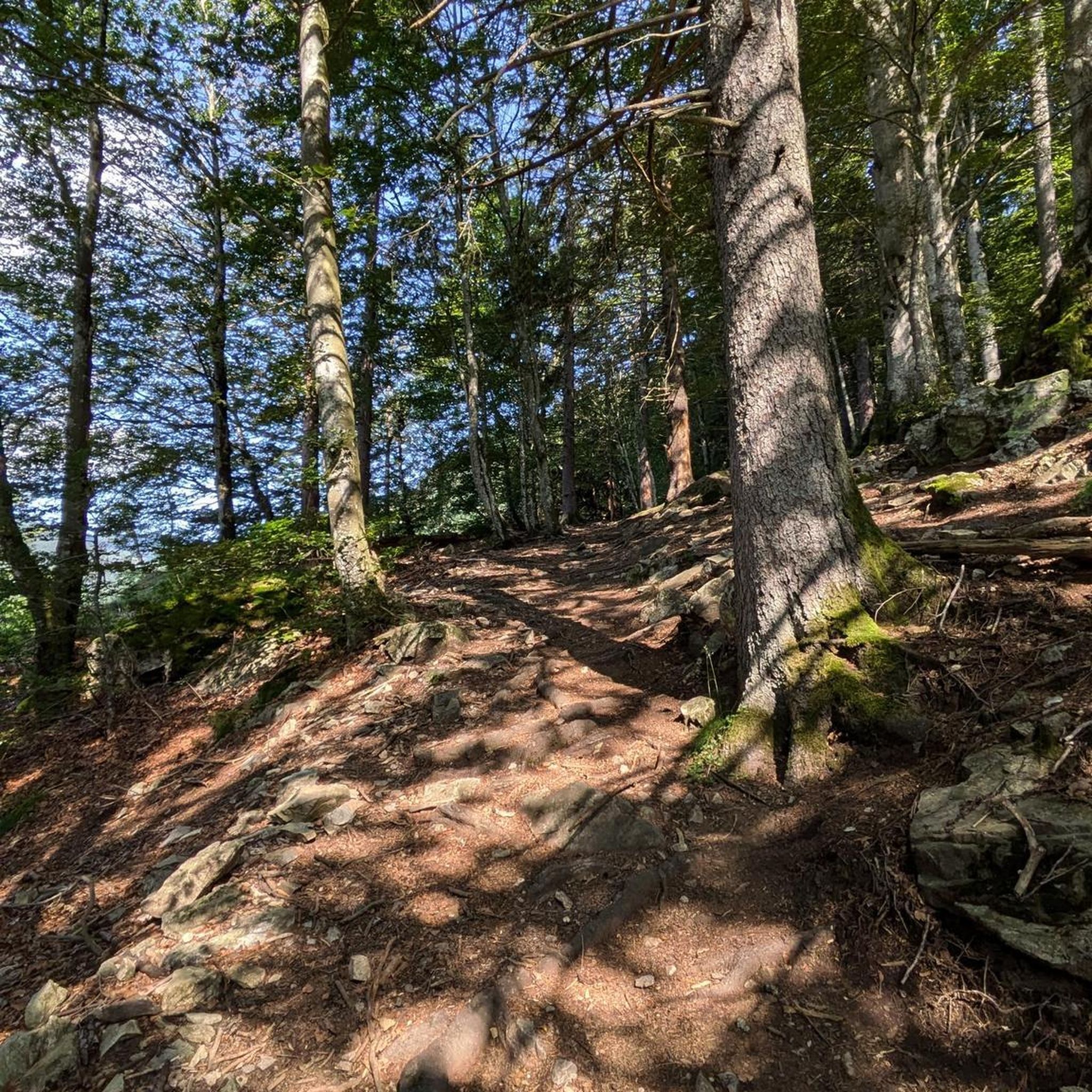
The region offers varied terrain, characterized by picturesque natural features such as meadows, ponds, and woodlands. You'll find a mix of gentle slopes and more challenging ascents, with elevations ranging from 365m to 500m, providing a generally rolling topography suitable for different running styles.
Are there easy jogging routes suitable for beginners or casual runners?
Yes, Villers-sur-Saulnot has several easy running options. For instance, the Running loop from Échenans is an easy 4.8 km trail. The region research also highlights the 'Boucle d'Arcey par Gonvillars et Villers-sur-Saulnot' as an easy 9 km loop traversing woods and small village roads, particularly pleasant in dry weather.
What do other runners enjoy the most about jogging in Villers-sur-Saulnot?
The running routes in Villers-sur-Saulnot are highly rated by the komoot community, with an average score of 4.4 stars from over 30 reviews. Runners often praise the serene backdrop of woodlands, meadows, and ponds, as well as the varied terrain that offers both gentle and moderate ascents.
Are there any circular running routes in the area?
Yes, many of the running paths around Villers-sur-Saulnot are designed as loops. Popular options include the Small Pond loop from Champey, a 8.2 km moderate route, and the Running loop from Désandans, a 10.4 km moderate path exploring the countryside.
Can I find running routes that pass by interesting landmarks or points of interest?
While the Grotto of Gonvillars is nearby, it's for experienced speleologists and not suitable for jogging. However, you might find routes that offer views of natural features like ponds and woodlands. For historical interest, the Mont Vaudois Fort is a notable historical site in the broader area.
Are there any longer running trails for more experienced runners?
While many routes are moderate, the region is also situated along long-distance hiking routes like 'The Dukes' trail' and 'Burgunderweg'. These extensive pathways offer opportunities for longer runs and experiencing a broader range of the region's natural beauty, though they may require more planning.
What is the best time of year for running in Villers-sur-Saulnot?
The region's varied terrain, including woods and meadows, makes it enjoyable across seasons. However, the 'Boucle d'Arcey par Gonvillars et Villers-sur-Saulnot' is specifically recommended during dry weather conditions, suggesting spring, summer, and early autumn are ideal for many trails.
Are there any running routes that are particularly scenic?
Many routes offer scenic views due to the region's natural beauty. The trails often pass through picturesque meadows, alongside tranquil ponds, and within serene woodlands, providing a pleasant backdrop for your run. The 'Les Foulées de Villers' event, for example, features 'trails in the undergrowth' and a 'panoramic and rolling finish'.
Are there any moderate running routes that offer a good challenge?
Absolutely. Most of the routes in the area are classified as moderate, providing a good balance of distance and elevation. The Running loop from Le Vernoy is a popular 8.1 km moderate trail leading through woodlands and open fields, offering a satisfying challenge.
What is the typical elevation gain on running routes in Villers-sur-Saulnot?
The elevation in the region ranges from 365m to 500m. Many moderate routes feature elevation gains around 100-160 meters. For example, the Running loop from Aibre has an elevation gain of about 80 meters, while the Running loop from Désandans has approximately 165 meters of ascent.
Most popular routes around Villers-Sur-Saulnot
Most popular attractions around Villers-Sur-Saulnot

Get inspired with the komoot mobile app


Explore more
Browse the best Running Trails & Routes in other regions.
