The best road cycling routes around Villers-Sur-Saulnot
4.6
(73)
1,883
riders
78
rides
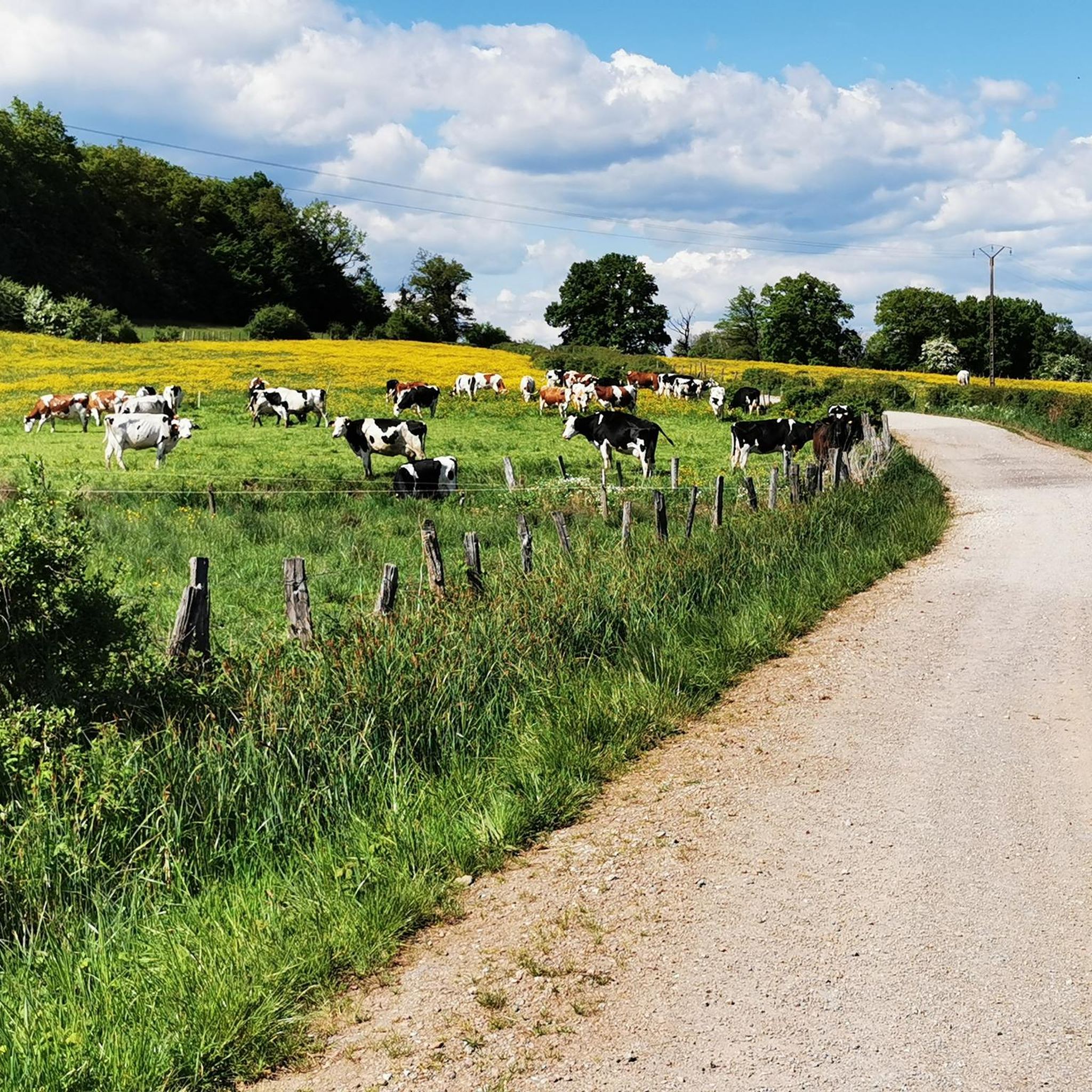
Road cycling routes around Villers-sur-Saulnot are situated within the Haute-Saône department, characterized by hilly terrain and winding roads. The region's elevation ranges from 365m to 500m, offering a mix of accessible rolling hills and more challenging ascents. Cyclists can expect varied landscapes, including meadows, ponds, and woods, providing a scenic backdrop for rides. The area features well-paved surfaces suitable for road cycling.
Best road cycling routes around Villers-Sur-Saulnot
- The most popular road cycling route is The misty Allan - Montbéliard…
Last updated: October 21, 2026
5.0
(1)
26
riders
57.2km
02:32
490m
490m
Moderate road ride. Good fitness required. Mostly well-paved surfaces and easy to ride.
27
riders
56.8km
02:37
600m
600m
Moderate road ride. Good fitness required. Mostly well-paved surfaces and easy to ride.

5.0
(2)
27
riders
43.1km
01:56
460m
460m
Moderate road ride. Good fitness required. Mostly well-paved surfaces and easy to ride.
11
riders
85.1km
04:06
1,060m
1,060m
Hard road ride. Very good fitness required. Mostly well-paved surfaces and easy to ride.
5.0
(1)
16
riders
55.5km
02:40
720m
720m
Moderate road ride. Good fitness required. Mostly well-paved surfaces and easy to ride.
Get access to more routes and recommendations from other explorers.
Already have an account?
Our route recommendations are based on thousands of hikes, rides, and runs completed by other people on komoot.
Start today with a free account
Your next adventure awaits.

Tips from the Community

The Bassin de Champagney (or Champagney Reservoir) is an impressive artificial reservoir with a surface area of 107 hectares, located in the French department of Haute-Saône (Bourgogne-Franche-Comté region). The reservoir is situated in the southern foothills of the Vosges and was built between 1882 and 1905 to supply water to the never fully completed Canal de la Haute-Saône. Today, the lake has a capacity of 13 million m³ and is a popular destination for nature lovers, hikers, and fishermen.
7
0
A quiet natural campsite on the lakes of Champagney, ideal for cyclists exploring the Ballons region. Perfectly located for the great Vosges climbs and known as a starting point for Les 3 Ballons.
7
0


nice tour along chanels and rivers.. for now from Mulhouse to Besançon... and further... until Nevers
0
0

Quiet and affordable in the off-season..
1
0

This former customs house contains a repair station with tools, a room with a table, and toilets, making it ideal for fetching water and picnicking, even in the rain.
0
0

This statue of the Virgin Mary, which stands on a tower, dates from 1876
0
0
The Ballastières campsite is a campsite nestled in the heart of nature, suitable for tents and campers alike. Mobile homes, tents, and other accommodations are also available for rent.
2
0
Frequently Asked Questions
What is the general terrain like for road cycling around Villers-Sur-Saulnot?
The region around Villers-Sur-Saulnot, located in the Haute-Saône department, is characterized by its varied and often hilly terrain. You can expect winding roads with elevations ranging from 365m to 500m, offering a mix of accessible rolling hills and more challenging ascents. The routes feature well-paved surfaces suitable for road cycling, set against a backdrop of meadows, ponds, and woods.
How many road cycling routes are available in the Villers-Sur-Saulnot area?
There are over 70 road cycling routes available around Villers-Sur-Saulnot on komoot, catering to various skill levels. This includes 10 easy routes, 60 moderate routes, and 6 more difficult options for experienced cyclists.
Are there any family-friendly road cycling options near Villers-Sur-Saulnot?
While the terrain around Villers-Sur-Saulnot generally features hills and winding roads, there are 10 routes classified as 'easy' within the komoot guide. These routes typically have less elevation gain and shorter distances, making them more suitable for families or those seeking a relaxed ride. Look for routes with lower elevation profiles for a more gentle experience.
What kind of natural features or landmarks can I expect to see along the road cycling routes?
The routes around Villers-Sur-Saulnot offer picturesque countryside views, including meadows, ponds, and woods. While cycling, you might encounter historical sites like the Mont Vaudois Fort or natural curiosities such as the Gonvillars Cave. The region's proximity to the Parc Naturel Régional des Ballons des Vosges also hints at diverse ecosystems and scenic vistas.
What do other road cyclists enjoy most about cycling in Villers-Sur-Saulnot?
The road cycling routes around Villers-Sur-Saulnot are highly rated by the komoot community, with an average score of 4.6 stars from over 40 reviews. Cyclists often praise the varied terrain, the scenic landscapes featuring meadows and woods, and the well-paved surfaces that make for an enjoyable ride. Over 1,100 road cyclists have used komoot to explore this area.
What is the best time of year for road cycling in the Haute-Saône department?
The Haute-Saône department, where Villers-Sur-Saulnot is located, is generally best for road cycling during the spring, summer, and early autumn months. These seasons offer more favorable weather conditions, with milder temperatures and less chance of rain, making for more comfortable and enjoyable rides through the region's varied terrain.
Are there any challenging road cycling routes for experienced riders?
Yes, for experienced riders seeking a challenge, there are 6 routes classified as 'difficult' within the Villers-Sur-Saulnot area. These routes typically feature significant elevation gains and longer distances, such as the 'Port de Frahier – Ronchamp loop from Aibre' which includes over 580 meters of ascent over 56.2 km. You can find routes with up to 3,000 ft of elevation gain in the broader area.
Can I access Villers-Sur-Saulnot by public transport with my bike?
While specific public transport options directly to Villers-Sur-Saulnot with bike carriage might be limited, the Bourgogne-Franche-Comté region's TER (regional train) network generally allows bikes on board, often free of charge outside of peak hours. It's advisable to check the specific TER line schedules and bike policies for connections to nearby larger towns like Lure or Montbéliard, from which you might cycle to Villers-Sur-Saulnot.
Where can I find parking for road cycling routes in Villers-Sur-Saulnot?
Villers-Sur-Saulnot is a small commune, and while specific dedicated cycling parking isn't detailed, parking is generally available in the village center or near local amenities. For routes starting from nearby towns like Aibre, which is a common starting point for many komoot routes, you would typically find parking in the village squares or designated public parking areas. Always check local signage for any restrictions.
Are there any long-distance cycling opportunities or networks accessible from Villers-Sur-Saulnot?
Yes, the Haute-Saône department is part of extensive cycling networks. Notably, the 'Voie Bleue' route, which connects Luxembourg to Lyon, traverses the Haute-Saône. While Villers-Sur-Saulnot is not directly on the Voie Bleue, its proximity to this major route means you can access long-distance cycling opportunities by connecting to it from nearby towns. The department also boasts 21 signposted cycle routes designed for scenic, low-traffic experiences. For more information on cycling in Haute-Saône, you can visit Hautes Saône Tourisme.
What is the average difficulty of road cycling routes around Villers-Sur-Saulnot?
The majority of road cycling routes around Villers-Sur-Saulnot are classified as 'moderate'. Out of 76 available routes, 60 fall into this category. This means they typically involve some climbing and descents, with distances that require a reasonable level of fitness, such as the The misty Allan - Montbéliard – Présentvillers <-> Bart loop from Aibre, which is 57.1 km with 489m of elevation gain.
Are there any circular road cycling routes starting near Villers-Sur-Saulnot?
Yes, many of the road cycling routes in the area are designed as loops, allowing you to start and finish in the same location. Examples include Port de Frahier – Ronchamp loop from Aibre and Statue of the Virgin Mary – La Vergenne loop from Aibre. These circular routes are convenient for exploring the region without needing return transport.
Most popular routes around Villers-Sur-Saulnot
Most popular attractions around Villers-Sur-Saulnot

Get inspired with the komoot mobile app


Explore more
Browse the best Road cycling routes in other regions.
