The best walks and hikes around Villers-Sur-Saulnot
4.4
(180)
595
hikers
85
hikes
Hiking around Villers-Sur-Saulnot offers a landscape characterized by ponds and gentle elevation changes, providing varied terrain for outdoor activities. The region features a network of trails that traverse open areas and potentially forested sections, with several routes circling local water bodies. The topography includes minor hills and relatively flat sections, making it accessible for different hiking abilities.
Best hiking trails around Villers-Sur-Saulnot
- The most popular hiking route is Étang des Princes — loop from Semondans, a 3.7 miles (6.0…
Last updated: July 4, 2026
4.3
(4)
9
hikers
5.97km
01:40
110m
110m
Easy hike. Great for any fitness level. Easily-accessible paths. Suitable for all skill levels.
3.4
(5)
15
hikers
7.54km
02:09
180m
180m
Moderate hike. Good fitness required. Easily-accessible paths. Suitable for all skill levels.

Sign up for free
4.5
(6)
18
hikers
26.5km
07:24
500m
500m
Hard hike. Very good fitness required. Easily-accessible paths. Suitable for all skill levels.
4.0
(3)
7
hikers
3.71km
01:00
50m
40m
Easy hike. Great for any fitness level. Easily-accessible paths. Suitable for all skill levels.
11
hikers
2.20km
00:34
10m
10m
Easy hike. Great for any fitness level. Easily-accessible paths. Suitable for all skill levels.
Get access to more routes and recommendations from other explorers.
Sign up for free
Already have an account?
Our route recommendations are based on thousands of hikes, rides, and runs completed by other people on komoot.
Start today with a free account
Your next adventure awaits.
Login or Signup



Tips from the Community

This historic city is dominated by the Fort du Mont Vaudois, an impressive 19th-century military structure. You can discover the remains of its 12th-century feudal castle, where a tower stands, classified as a Historic Monument since 1913.
0
0

Very beautiful cave to see at the bend in the main path near Villers sous Saulnot
0
0

A good place for a break in the shade of the trees. There are picnic benches.
0
0

a beautiful place, at the top of a good hill where I "sweated" a lot...
0
0

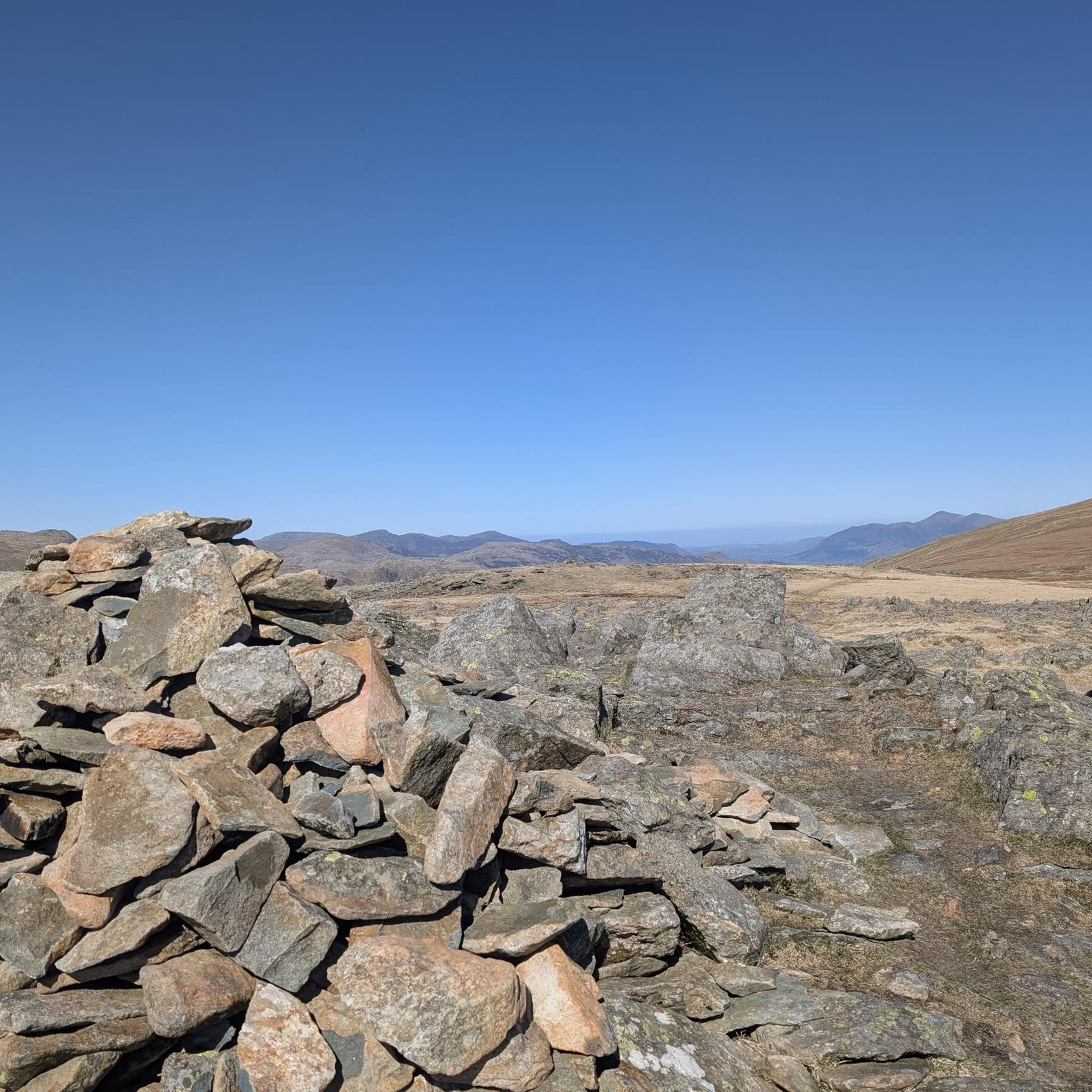
On a beautiful sunny day, we discovered this site where a few rocks overlap, including a flat stone.
0
0

Héricourt Castle, dating from the 12th century, is classified as a Historic Monument. It hosts exhibitions and events that highlight local heritage.
0
0

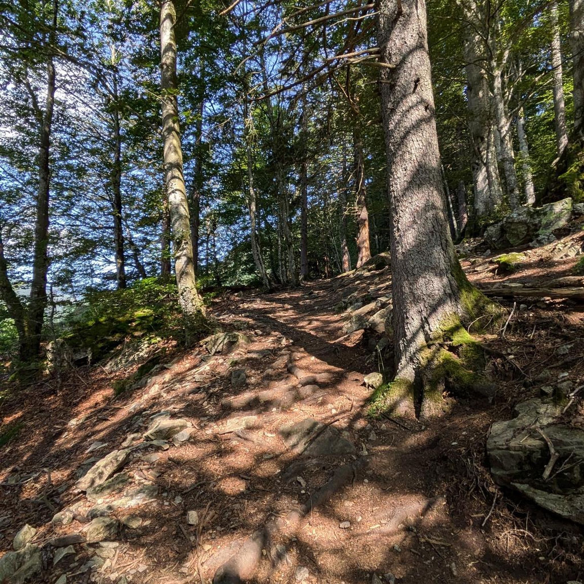
There you will take an intimate walk through the forest using tunnels made of trees. You can take a forest bath and enjoy the sound of the trees in the wind and the surrounding wildlife.
2
0
If you're looking for a peaceful, scenic hike in the countryside, you can visit the Étang des Princes, a series of ponds that were once part of the Duchy of Montbéliard. You can admire the changing colors of the trees and the reflections of the water as you walk around the ponds.
2
1
Frequently Asked Questions
How many hiking trails are available in Villers-Sur-Saulnot?
There are over 80 hiking trails in Villers-Sur-Saulnot, offering a wide variety of options for different preferences and skill levels.
What are the main characteristics of the hiking landscape in Villers-Sur-Saulnot?
The landscape around Villers-Sur-Saulnot is characterized by numerous ponds and gentle elevation changes. You'll find trails traversing open areas and forested sections, often circling local water bodies, providing varied terrain.
Are there easy hiking trails suitable for beginners or families?
Yes, Villers-Sur-Saulnot offers many easy trails. For example, the Étang des Princes — loop from Semondans is an easy 3.7-mile (6.0 km) loop featuring a pond and gentle ascents, perfect for a relaxed outing. Another easy option is the Princes' Pond loop from Saint-Julien-lès-Montbéliard, which is 1.4 miles (2.2 km) long.
What range of difficulty levels can I expect from the trails?
The trails in Villers-Sur-Saulnot range from easy to difficult. There are 38 easy routes, 41 moderate routes, and 1 difficult route, ensuring options for all hiking abilities.
Are most hiking trails in Villers-Sur-Saulnot circular?
Many of the popular routes in Villers-Sur-Saulnot are indeed circular, allowing you to start and end at the same point. Examples include the Étang des Princes — loop from Semondans and La Pierre qui tourne – Small Pond loop from Champey.
What interesting sights can I see along the hiking trails?
While hiking, you can explore several points of interest. Consider visiting the Gonvillars Cave, which is part of the Gonvillars Cave loop from Villers-sur-Saulnot. You might also encounter the La Pierre plate, which offers beautiful views, or the tranquil Le Rupt (Princes' Pond).
What do other hikers say about the trails in Villers-Sur-Saulnot?
The trails in Villers-Sur-Saulnot are highly rated by the komoot community, with an average score of 4.4 stars from over 150 reviews. Hikers often praise the varied terrain, the peaceful pond-side paths, and the accessibility for different ability levels.
Can I bring my dog on the hiking trails?
Generally, dogs are welcome on hiking trails in the region. However, it's always recommended to keep your dog on a leash, especially in areas with wildlife or near private property, and to check for any specific local regulations on individual routes.
When is the best time of year to hike in Villers-Sur-Saulnot?
The region's gentle terrain and numerous ponds make it enjoyable for hiking throughout much of the year. Spring and autumn offer pleasant temperatures and beautiful scenery, while summer is ideal for enjoying the water bodies. Even winter can be suitable for hiking on less challenging routes, depending on snow conditions.
Are there any longer, more challenging hikes available?
Yes, for those seeking a longer challenge, the La Pierre plate – Beautiful view of Rechal Pond loop from Aibre is a difficult 16.3-mile (26.2 km) route with significant elevation changes, offering expansive views.
Is parking typically available at the trailheads?
While specific parking information for every trailhead isn't always detailed, many popular hiking areas and villages in the region, such as Semondans or Champey, typically offer designated parking spots or roadside parking suitable for hikers.
Most popular routes around Villers-Sur-Saulnot
Most popular attractions around Villers-Sur-Saulnot

Get inspired with the komoot mobile app


Explore more
Browse the best Hikes in other regions.
