The best walks and hikes around Vaupillon
4.2
(53)
247
hikers
50
hikes
Hiking around Vaupillon offers diverse trails within the Parc naturel régional du Perche, characterized by its rolling hills, dense woodlands, and tranquil river valleys. The region features gentle elevation changes, making it accessible for various fitness levels. These natural landscapes provide a setting for exploring the local flora and fauna.
Best hiking trails around Vaupillon
- The most popular hiking route is Château de Montireau — loop from Montireau in the Parc naturel régional du Perche, a 6.9 miles (11.2…
Last updated: October 8, 2026
4.0
(2)
8
hikers
Moderate hike. Good fitness required. Mostly accessible paths. Sure-footedness required.
4.8
(4)
15
hikers
13.7km
03:45
210m
210m
Moderate hike. Good fitness required. Easily-accessible paths. Suitable for all skill levels.

3.0
(1)
2
hikers
13.0km
03:26
110m
110m
Moderate hike. Good fitness required. Easily-accessible paths. Suitable for all skill levels.
5.0
(2)
10
hikers
19.5km
05:07
150m
150m
Hard hike. Very good fitness required. Easily-accessible paths. Suitable for all skill levels.
4.0
(2)
8
hikers
14.1km
03:48
180m
180m
Moderate hike. Good fitness required. Easily-accessible paths. Suitable for all skill levels.
Get access to more routes and recommendations from other explorers.
Already have an account?
Our route recommendations are based on thousands of hikes, rides, and runs completed by other people on komoot.
Start today with a free account
Your next adventure awaits.
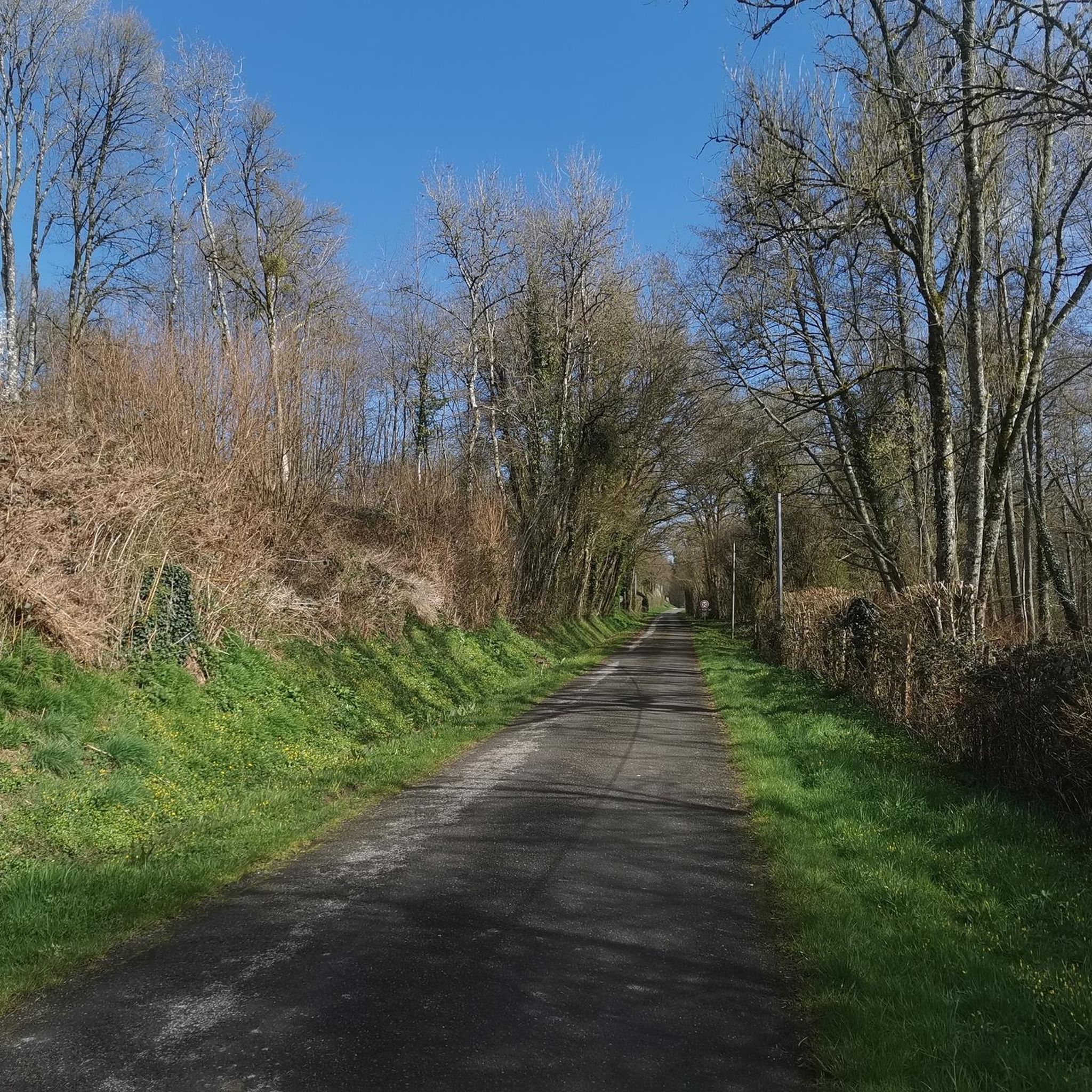
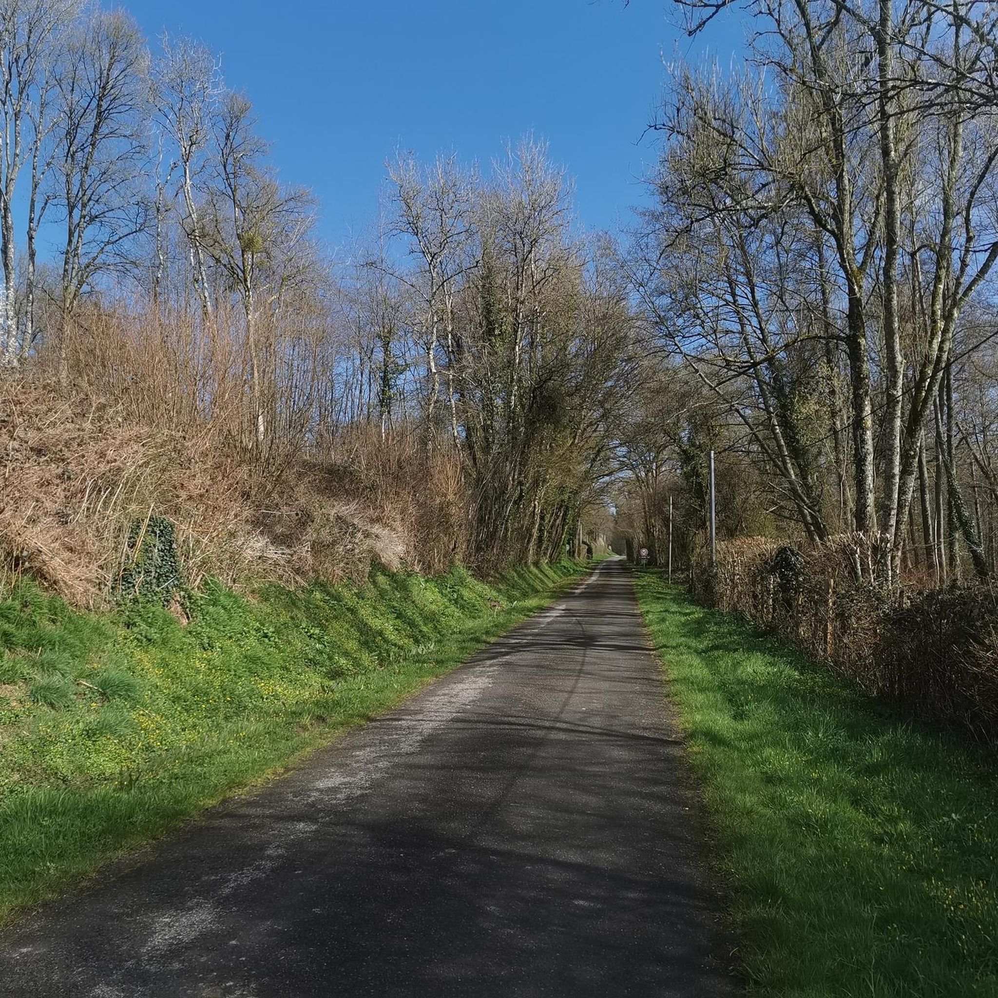
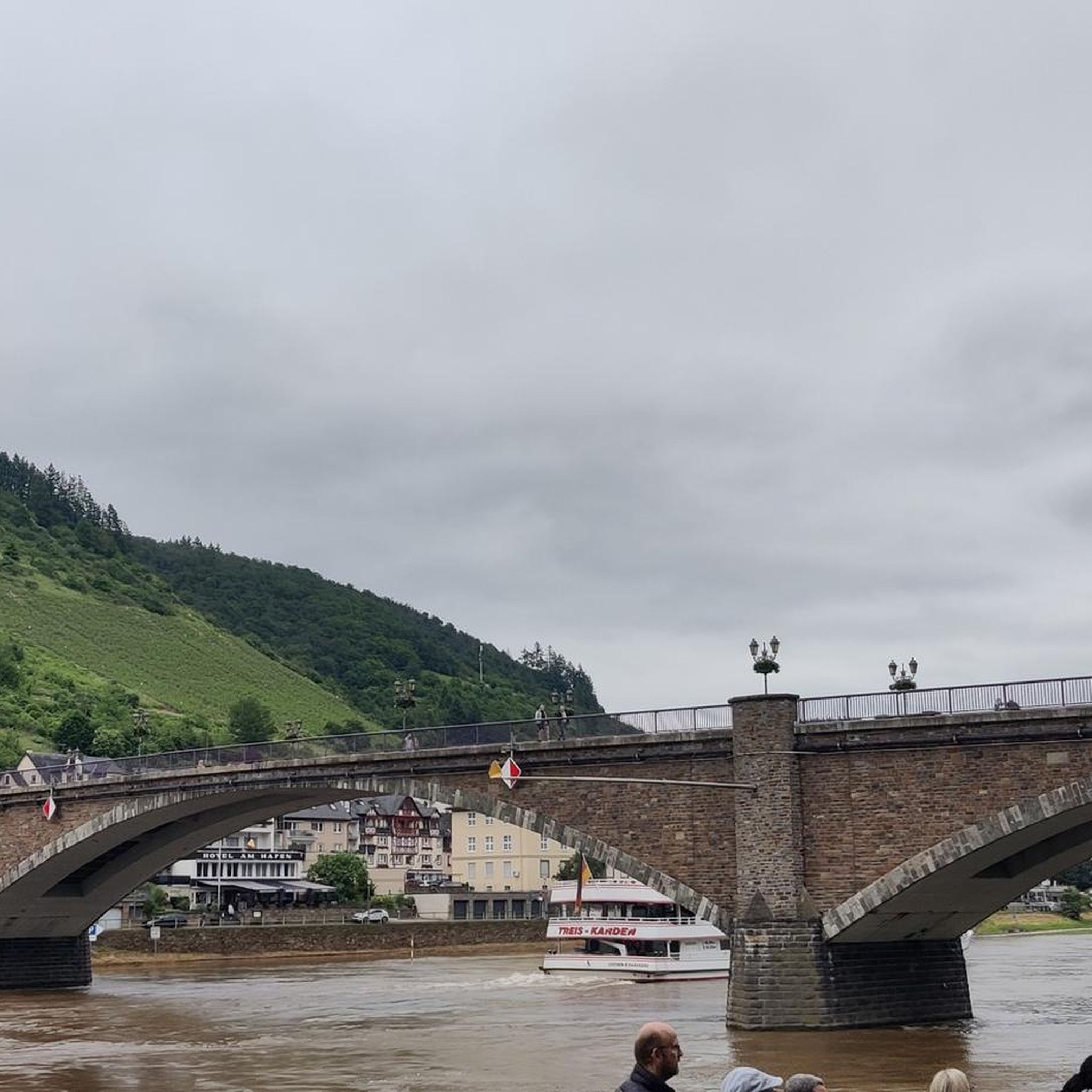
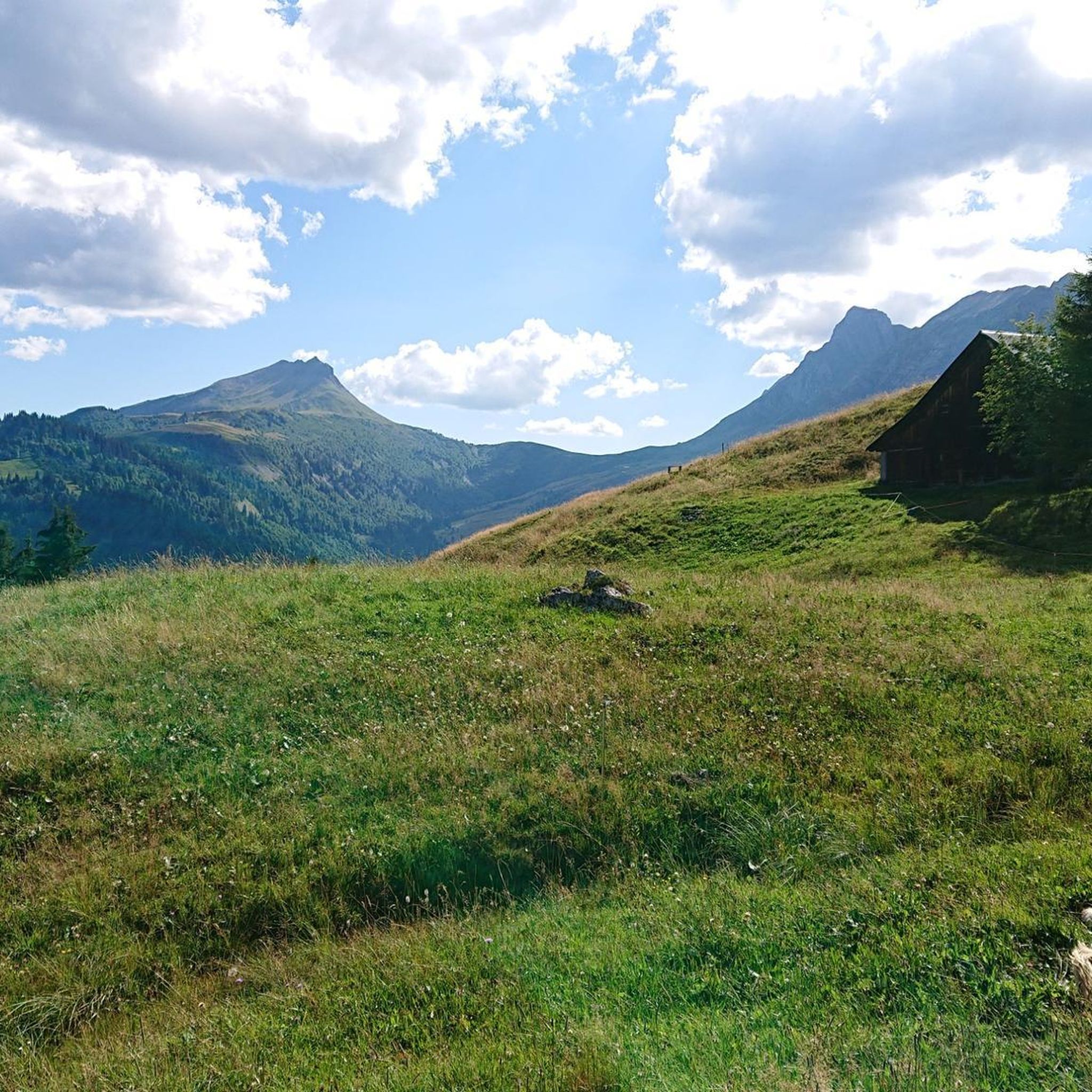
Tips from the Community

Moutiers is one of the oldest villages in the Perche region, built around a monastery founded in the 6th century and destroyed by the Norman invasions. This is where the village's name comes from, since "Moutiers" means monastery in Old French. On the slopes of the hill, called Mont Harou, stands the church, flanked by a few typical Perche houses that form the old town. To reach it, you'll have to navigate the steep, straight climb of Church Street or take a detour through small streets that soften the steepness of the climb. The church square offers a beautiful view of the surrounding area. Don't forget to walk around the church to admire the gargoyles, which are quite exceptional for such a small church. Restrooms and water are available right next door.
0
0

Church built in the first half of the 16th century, then raised in 1752. It is formed of a nave preceded by a narthex and adjoining two chapels forming a false transept. The 16th century door is formed of a low arch, adjoining smooth pilasters which support the lintel, above which a triangular pediment stands out from the wall. The church is decorated with murals in the apse and the side chapels, dating from the 16th and 17th centuries. In the choir, the paintings date back to the 19th century. Large flamboyant Gothic windows illuminate the building and retain stained glass windows.
0
0

Be careful, the climb is not easy!!!
0
0


Magnificent view of the pond and the Manor below. Walk between cattle, forest, valleys. Magnificent views.
0
0

At the crossroads of several magical secondary roads, Moutiers-au-Perche offers a lovely heritage stopover during your cycling trips in the Percheron countryside.
0
0
At the crossroads of several magical secondary roads, Moutiers-au-Perche offers a lovely heritage stopover during your bike rides in the Percheron countryside.
0
0

The Etang de Perruchet is a medium sized pond which is part of an important wetland area. You can follow a 6 km path around the pond or extend your walk to the Étang de Théllière, another beautiful body of water surrounded by forests and meadows. Along the way, you can admire the view of the countryside and observe the fauna and flora. The Etang de Perruchet is an ideal destination for a relaxing and refreshing hike in nature.
2
0
Frequently Asked Questions
How many hiking trails are available around Vaupillon?
There are over 45 hiking trails around Vaupillon, offering a wide variety of options within the Parc naturel régional du Perche. These routes cater to different preferences, from easy strolls to more challenging long-distance hikes.
Are there easy hiking trails suitable for beginners or families with children?
Yes, Vaupillon offers several easy hiking trails. For instance, the Manou – The Beeches of the Biquet Valley loop from Manou is an easy 7.4 km route, perfect for a relaxed outing. Overall, there are 20 easy routes in the area.
What are the options for longer or more challenging hikes in the region?
For those seeking a longer or more challenging experience, the Forêt de Senonches – Senonche forest loop from Fontaine-Simon is a difficult 21.5 km trail that takes about 5 hours 37 minutes to complete. There are 4 difficult routes in total around Vaupillon.
Are there any circular hiking routes around Vaupillon?
Many of the trails around Vaupillon are circular, allowing you to start and end at the same point. Examples include the popular Château de Montireau — loop from Montireau in the Parc naturel régional du Perche and the Culoiseau ford loop from La Madeleine-Bouvet.
What kind of terrain can I expect on hikes near Vaupillon?
Hikes near Vaupillon are characterized by rolling hills, dense woodlands, and tranquil river valleys within the Parc naturel régional du Perche. You'll encounter varied terrain, including forest sections and open landscapes, with generally gentle elevation changes.
What do other hikers say about the trails in Vaupillon?
The trails in Vaupillon are highly rated by the komoot community, with an average score of 4.2 stars from over 40 reviews. Hikers often praise the serene environment, extensive forests, and the well-maintained network of paths suitable for various ability levels.
Are there any historical or natural landmarks to see along the hiking routes?
Yes, the region offers several interesting landmarks. You can explore historical sites like the Vaux Castle, or visit charming religious buildings such as the Church of Manou and the Saint-Vincent Church of Marolles-les-Buis. The settlement of Moutiers-au-Perche is also a notable point of interest.
What is the best time of year to go hiking in Vaupillon?
The Parc naturel régional du Perche, where Vaupillon is located, is beautiful throughout the year. Spring and autumn offer pleasant temperatures and vibrant colors in the woodlands. Summer is also popular, though some trails might be more shaded. Winter hiking is possible, but conditions can vary, so checking local weather is advisable.
Are there any hikes that feature water elements like rivers or streams?
Yes, the region's tranquil river valleys mean that many routes incorporate water features. The Culoiseau ford loop from La Madeleine-Bouvet, for example, features varied terrain that includes sections near water.
Can I find less crowded hiking trails around Vaupillon?
While some routes are popular, the extensive network of trails within the Parc naturel régional du Perche means it's often possible to find quieter paths, especially on weekdays or by exploring some of the less-trafficked moderate and difficult routes. The region's natural environment provides ample space for peaceful exploration.
What should I bring for a hike in Vaupillon?
Given the varied terrain and woodland sections, it's recommended to wear sturdy hiking shoes. Depending on the season, layers of clothing are advisable. Always carry water, snacks, a map or GPS device (like komoot), and sun protection. For longer hikes, consider a small first-aid kit.
Most popular attractions around Vaupillon

Get inspired with the komoot mobile app


Explore more
Browse the best Hikes in other regions.
