The best mountain hikes around Palneca
5.0
(3)
20
hikers
2
hikes
Mountaineering routes around Palneca are set within the rugged landscapes of Corsica, offering challenging trails and significant elevation changes. The region is characterized by its mountainous terrain, granite formations, and extensive forests, providing a diverse environment for outdoor pursuits. Palneca's proximity to the GR20 trail and major mountaineering areas like Aiguilles de Bavella and Monte Cinto makes it a strategic base for exploring the island's high peaks and technical routes.
Best mountaineering routes around Palneca
- The most popular mountaineering route…
Last updated: October 15, 2026
5.0
(1)
7
hikers
9.74km
04:31
620m
620m
Moderate mountaineering route. Good fitness required. Mostly accessible paths. Sure-footedness required.
5.0
(2)
12
hikers
Hard mountaineering route. Good fitness required. Sure-footedness, sturdy shoes and alpine experience required.

1
hikers
Moderate mountaineering route. Good fitness required. Easily-accessible paths. Suitable for all skill levels.
Our route recommendations are based on thousands of hikes, rides, and runs completed by other people on komoot.
Start today with a free account
Your next adventure awaits.
Popular around Palneca
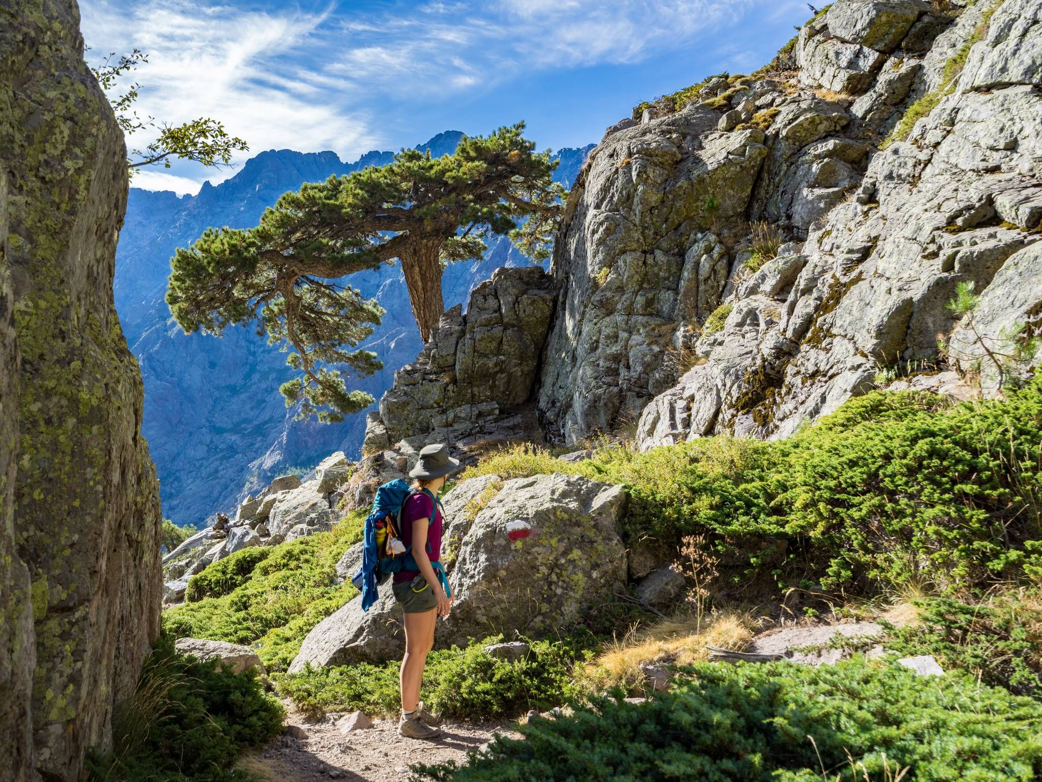
GR20 – Europe's toughest long-distance hiking trail through Corsica
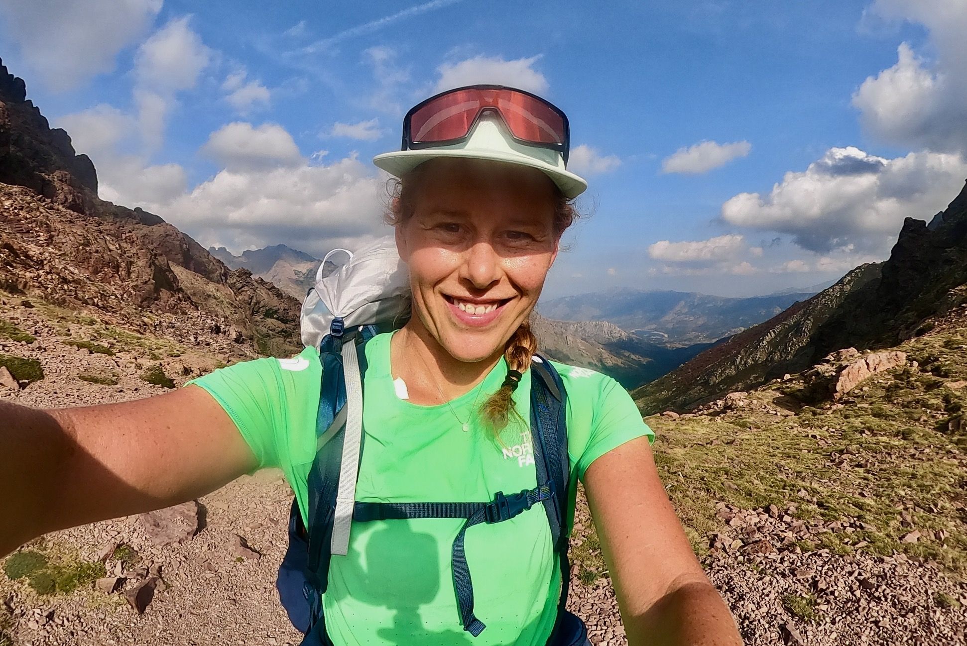
GR 20 – Six days backpacking the peaks and refuges of Corsica
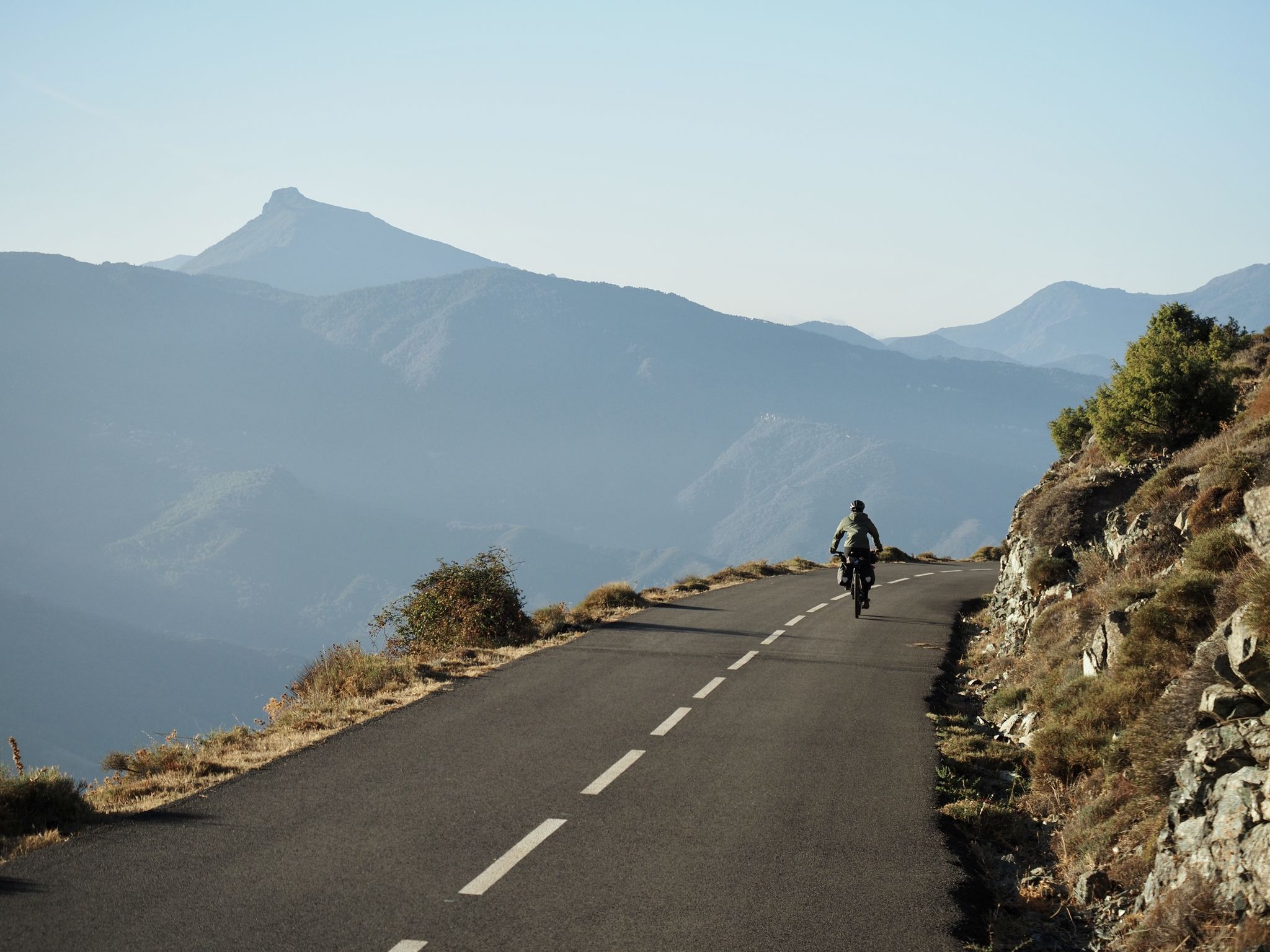
Crossing Corsica's GT20 – the greenest island in the Mediterranean
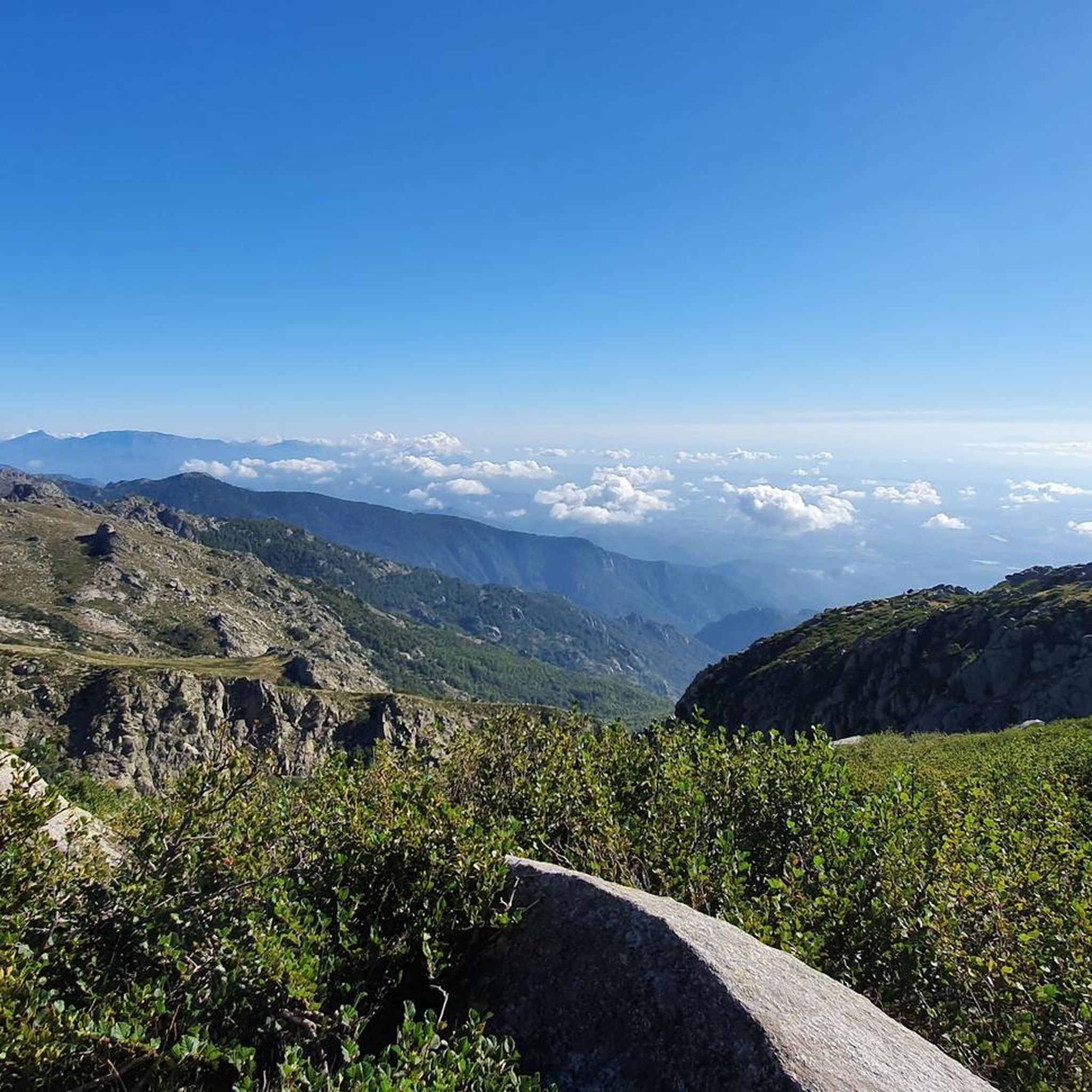
Hiking around Palneca
Road Cycling Routes around Palneca
Running Trails around Palneca
Cycling around Palneca

MTB Trails around Palneca
Other adventures around Palneca


Tips from the Community

After the rain the day before, we immediately encounter 3 fire salamanders.
1
0
Somewhat remote chapel - in the immediate vicinity there is a lonely, simple grave.
1
0


The cheese tastes super delicious here 😋 If you ask nicely, you can get a private tour of the cheese dairy. There is a drinking water source. Since it was already late, we were allowed to pitch our tents nearby, sheltered from the wind (see photo of tent in the cave)
0
0

Beautiful area with great views.
0
0

Instead of pasta, paninis, and cakes, they serve entrecôte and salad. Not for cyclists or hikers.
0
0
Frequently Asked Questions
How many mountaineering routes are available around Palneca?
This guide features 4 mountaineering routes around Palneca, offering a range of experiences from moderate forest paths to challenging high mountain trails. These routes are highly rated by the komoot community, with an average score of 4.9 stars.
Are there any circular mountaineering routes near Palneca?
Yes, several routes are designed as loops, allowing you to start and end at the same point. For instance, the Punta Bacinello – Lac du Bastani loop from Ghisoni is a difficult option offering views towards Lac du Bastani. Another great choice is the moderate Refuge Col de Verde – Bocca d'Oro loop from Col de Verde, which traverses sections near the GR20.
What kind of natural features or landmarks can I expect to see on these routes?
The mountaineering routes around Palneca offer stunning natural attractions. You might encounter high mountain meadows known as 'Pozzi' on routes like Les Pozzi de Bastelica – Pozzi Seen loop from Réserve biologique intégrale de Punteniellu. Other highlights in the region include the scenic Buja waterfall and the serene Lac de Bastani.
Are there any family-friendly mountaineering options around Palneca?
While many mountaineering routes in the Palneca region are challenging, there are options suitable for families looking for a mountain experience. The Wiesen, Hügel und Weitsicht – Croce Sheepfold loop from Chapelle San Pietru is a moderate route that offers beautiful views over meadows and hills, which could be a good choice for families with some hiking experience.
What is the best season for mountaineering in Palneca?
The best season for mountaineering in Palneca, and Corsica in general, is typically from late spring to early autumn (May to October). During these months, the weather is generally more stable, and trails are free of snow, especially at higher altitudes. However, always check local weather forecasts before heading out, as conditions can change rapidly in the mountains.
What are the difficulty levels of the mountaineering routes in this guide?
The routes in this guide range from moderate to difficult. For example, the Punta Bacinello – Lac du Bastani loop from Ghisoni and Les Pozzi de Bastelica – Pozzi Seen loop from Réserve biologique intégrale de Punteniellu are rated as difficult, involving significant elevation changes and rugged terrain. The Refuge Col de Verde – Bocca d'Oro loop from Col de Verde and Wiesen, Hügel und Weitsicht – Croce Sheepfold loop from Chapelle San Pietru are moderate, offering a less strenuous but still rewarding experience.
Are there any specific permits required for mountaineering in the Palneca region?
Generally, no specific permits are required for day hikes on established trails in the Palneca region or within the Regional Natural Park of Corsica. However, if you plan to undertake more technical climbs or multi-day treks, especially on sections of the GR20, it's advisable to check with local authorities or mountain guides for any specific regulations or refuge bookings.
What do other mountaineers enjoy most about the routes around Palneca?
The routes around Palneca are highly rated by the komoot community, with an average score of 4.9 stars from over 10 reviews. Mountaineers often praise the rugged landscapes, the challenging nature of the trails, and the stunning views of Corsica's mountainous terrain, including glimpses of the GR20 and unique features like the 'Pozzi' high mountain meadows.
Can I find parking and public transport options near the trailheads?
Information regarding specific parking and public transport options for individual trailheads can vary. While Palneca is a small commune, access to some trailheads may require a car. For routes starting from specific points like Col de Verde or Ghisoni, there are often designated parking areas. Public transport in mountainous regions of Corsica can be limited, so planning your logistics in advance is recommended.
Are there any nearby mountain passes to explore?
Yes, the region around Palneca is rich with mountain passes offering unique perspectives and connections between valleys. Notable passes include Palmentu Pass, Col de Scalella, and Col de Laparo. These passes often form part of longer routes or offer excellent viewpoints.
What kind of terrain defines mountaineering around Palneca?
Mountaineering around Palneca is characterized by rugged landscapes, significant elevation changes, and diverse terrain. You'll encounter granite formations, dense forests, and high mountain meadows. The region's proximity to the GR20 means some trails share its challenging, rocky nature, requiring good physical and mental preparedness.
Most popular attractions around Palneca

Get inspired with the komoot mobile app


Explore more
Browse the best Mountain Hikes & Routes in other regions.
