The best cycling routes around Palneca
4.6
(44)
388
riders
17
rides
Touring cycling routes around Palneca are characterized by the mountainous terrain of Corsica, with elevations ranging significantly and an average elevation of 900 meters. The region features diverse topography, including dense forests such as Marmano, Rapari, and Verde, which cover a large portion of the area. Cyclists can expect routes with considerable elevation changes and scenic views across rugged landscapes and through mountain passes. This environment provides challenging and rewarding experiences for touring cyclists.
Best touring cycling routes around Palneca
…Last updated: October 15, 2026
4.5
(16)
96
riders
69.7km
05:02
1,520m
1,520m
Hard bike ride. Very good fitness required. Mostly paved surfaces. Suitable for all skill levels.
5.0
(4)
55
riders
106km
08:04
2,750m
2,750m
Hard bike ride. Very good fitness required. Mostly paved surfaces. Suitable for all skill levels.

5.0
(5)
32
riders
141km
10:16
3,180m
3,180m
Hard bike ride. Very good fitness required. Mostly paved surfaces. Suitable for all skill levels.
5.0
(8)
47
riders
Hard bike ride. Very good fitness required. Mostly paved surfaces. Suitable for all skill levels.
19
riders
35.3km
02:31
750m
750m
Hard bike ride. Very good fitness required. Mostly paved surfaces. Suitable for all skill levels.
Get access to more routes and recommendations from other explorers.
Already have an account?
Our route recommendations are based on thousands of hikes, rides, and runs completed by other people on komoot.
Start today with a free account
Your next adventure awaits.
Popular around Palneca
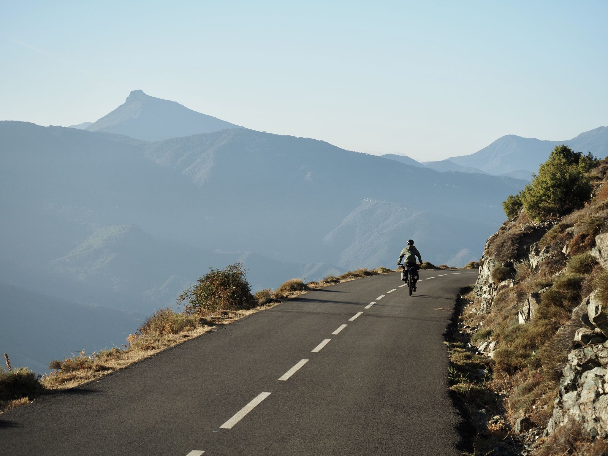
Crossing Corsica's GT20 – the greenest island in the Mediterranean
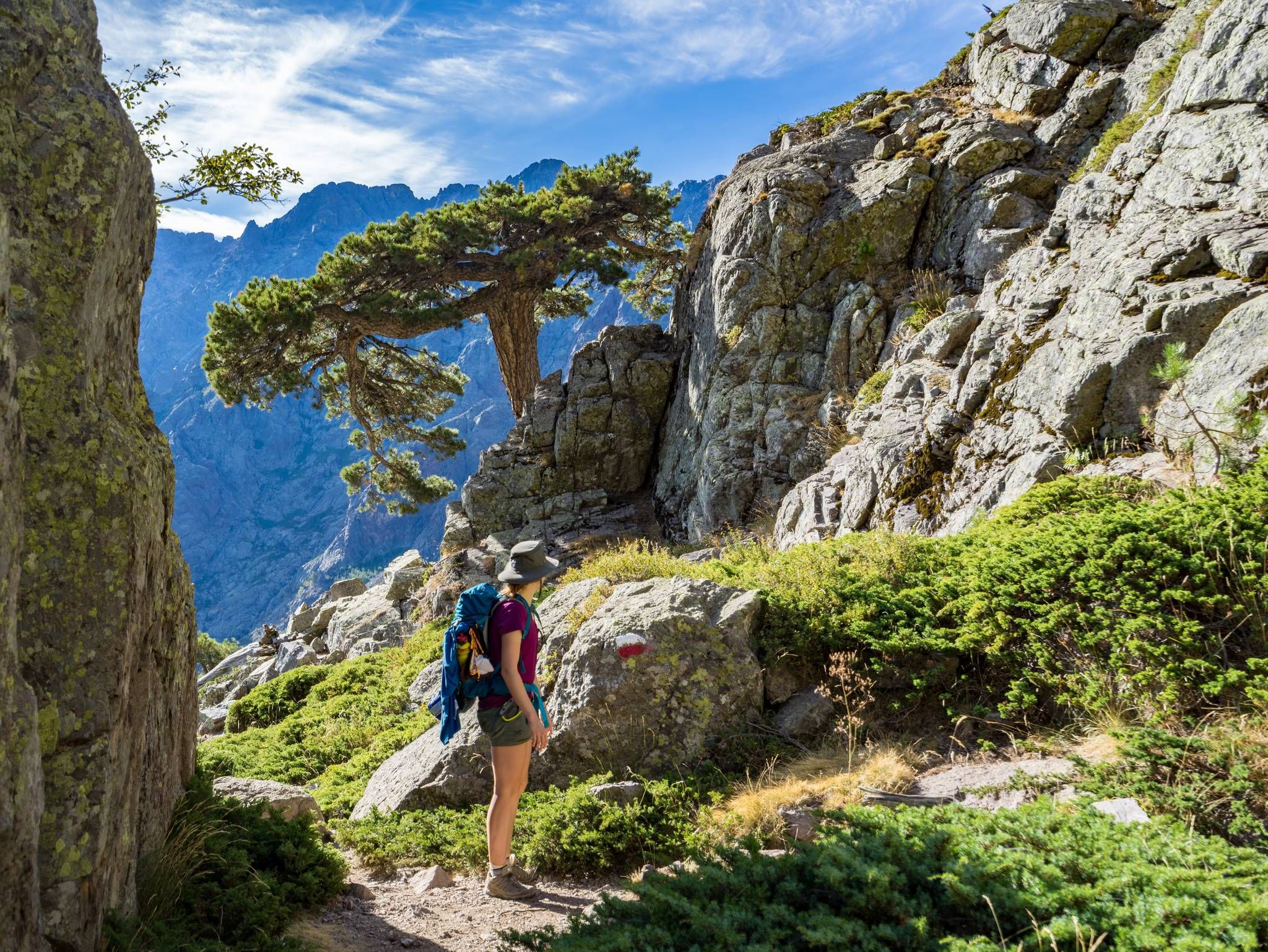
GR20 – Europe's toughest long-distance hiking trail through Corsica
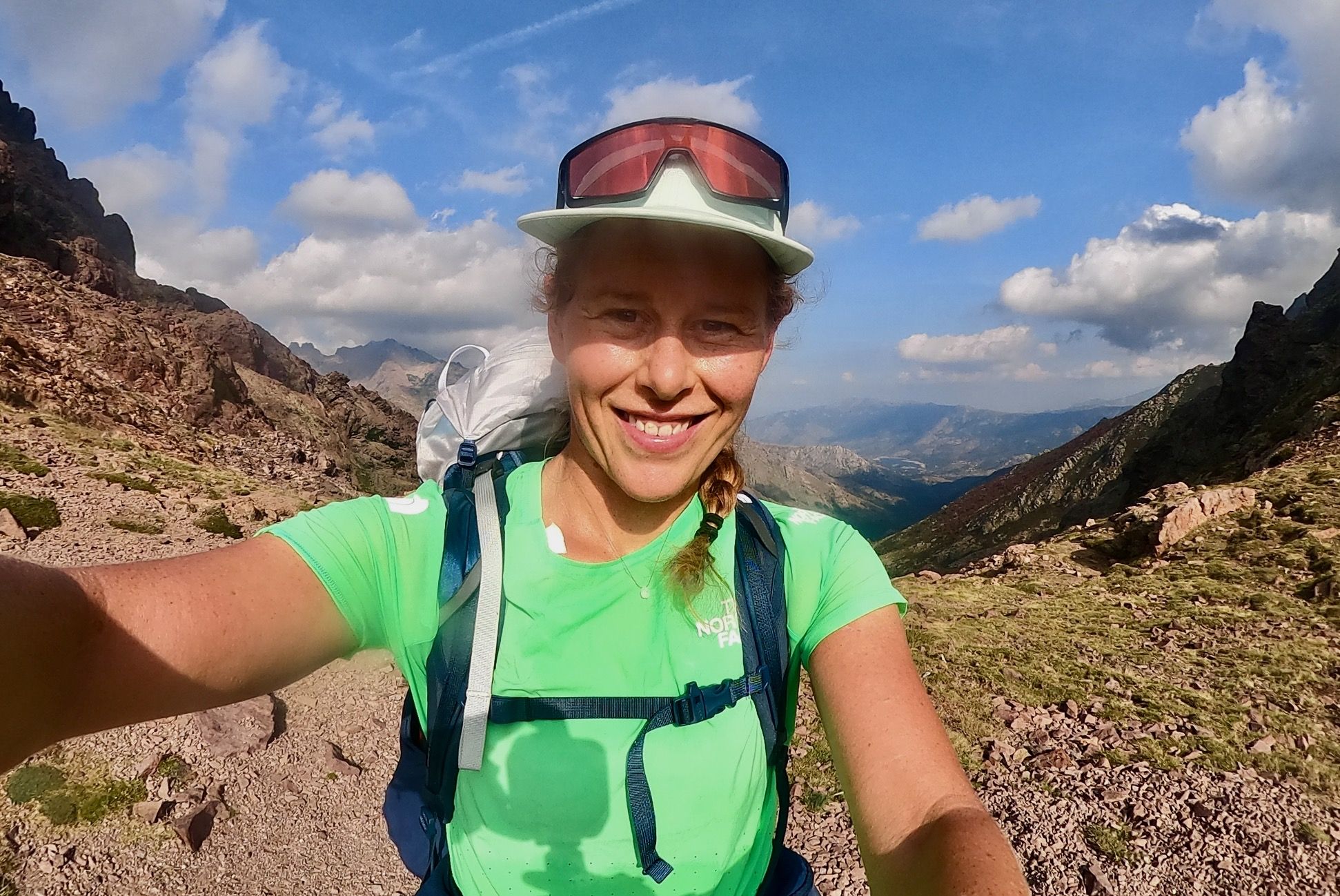
GR 20 – Six days backpacking the peaks and refuges of Corsica
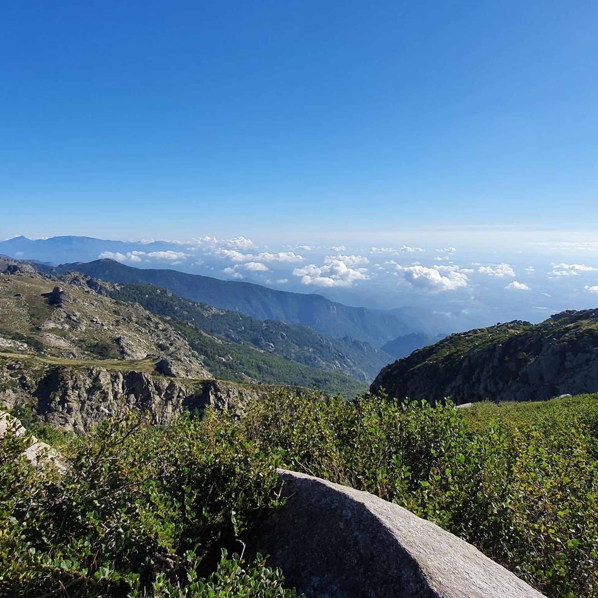
Hiking around Palneca
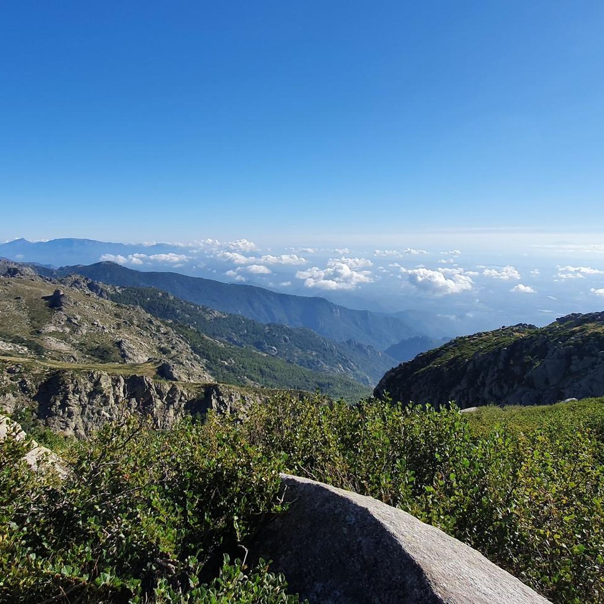
Road Cycling Routes around Palneca
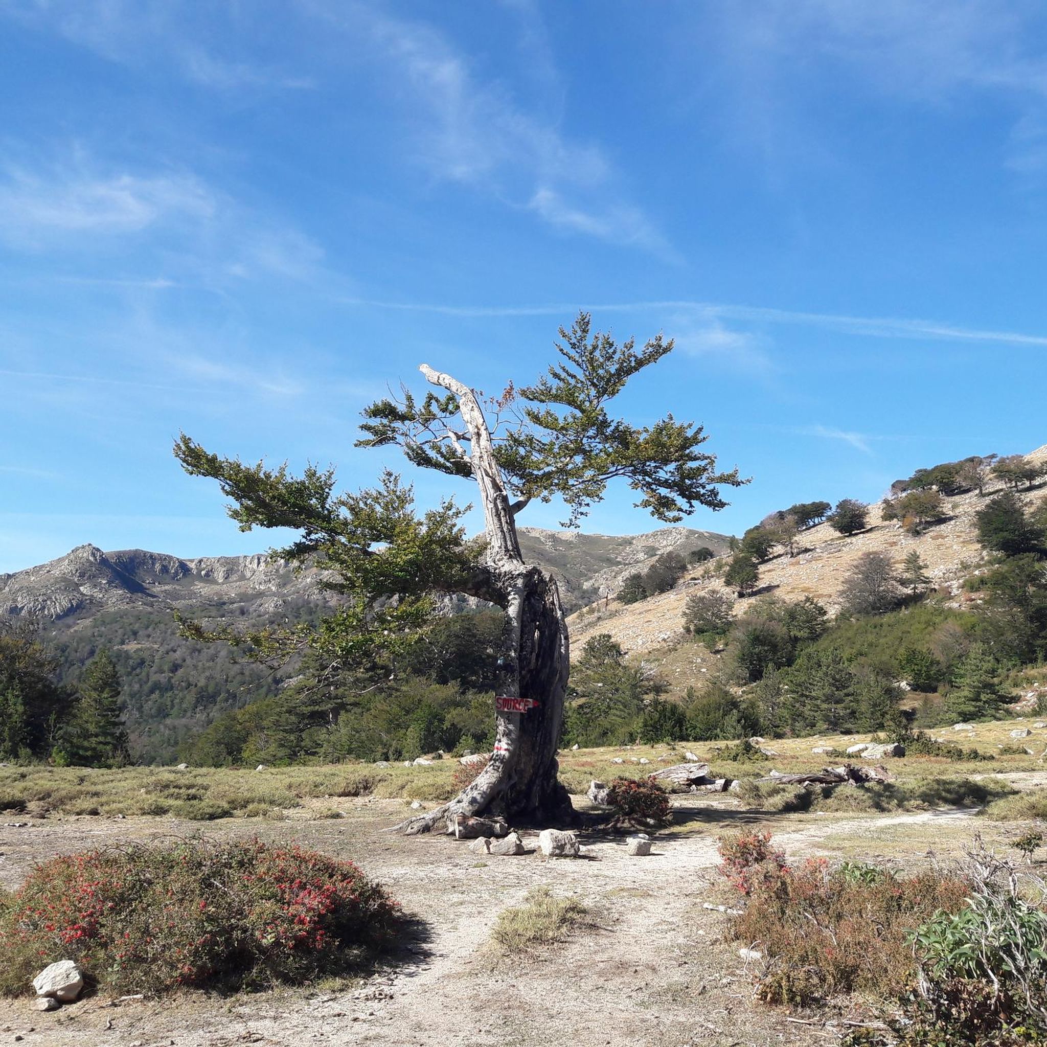
Running Trails around Palneca

MTB Trails around Palneca
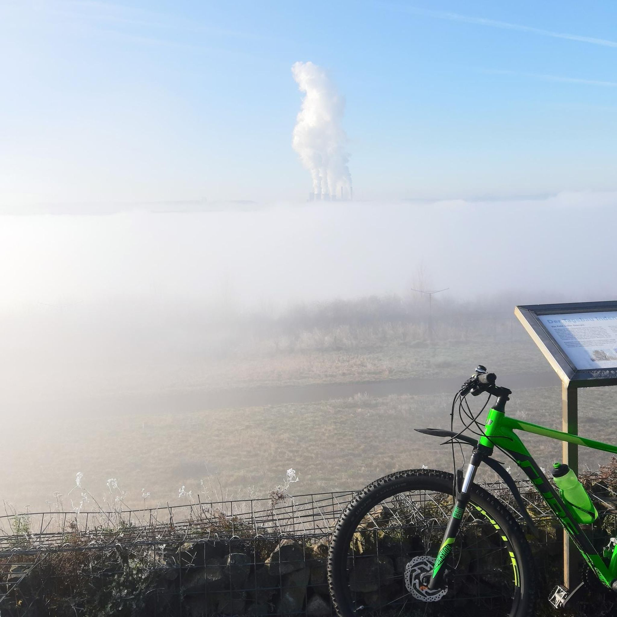
Mountain Hikes around Palneca
Other adventures around Palneca


Tips from the Community

The natural pools have been filled with sand. About six weeks ago, there was still a shallow pool. We couldn't find where the thermal water is channeled into the river; it was all overgrown.
0
0


Instead of pasta, paninis, and cakes, they serve entrecôte and salad. Not for cyclists or hikers.
0
0


many small streams form a river
0
0

Nice rest area with water inlet
0
0

a smal restaurant and a small shop with local products
0
0
Frequently Asked Questions
How many touring cycling routes can I explore around Palneca?
There are 16 touring cycling routes available around Palneca, offering a variety of experiences for cyclists. The komoot community has highly rated these routes, with an average score of 4.7 stars.
What is the typical terrain like for touring cycling in Palneca?
Touring cycling around Palneca is characterized by mountainous terrain with significant elevation changes, ranging from 692 to 2,036 meters. You'll encounter dense forests like Marmano, Rapari, and Verde, and challenging mountain passes. Most routes are classified as difficult, catering to experienced cyclists seeking substantial climbs and long distances.
Are there any family-friendly touring cycling routes near Palneca?
The touring cycling routes directly around Palneca are predominantly difficult, featuring significant elevation gains and long distances, making them more suitable for experienced adult cyclists. There are currently no routes specifically categorized as easy or family-friendly in the immediate guide data for touring cycling.
Can I bring my dog on the touring cycling routes around Palneca?
While the guide data does not specify dog-friendly routes, the mountainous and forested terrain of Palneca means many paths might be suitable for fit dogs, especially if they can keep pace or be carried for sections. However, always ensure your dog is accustomed to long distances and varied terrain, and check local regulations regarding pets in natural areas or on specific trails.
What kind of natural attractions or landmarks can I see along the cycling routes?
The region around Palneca is rich in natural beauty. While cycling, you might encounter various mountain passes such as Palmentu Pass, Col de Scalella, and Col de Laparo. The area is also known for its forests and is within reach of natural features like the Buja waterfall and Lac de Bastani, though direct cycling access to these might involve some hiking.
Are there any circular touring cycling routes available from Palneca?
Yes, several routes are designed as loops, allowing you to start and finish in the same general area. For example, the Verde Pass – Ghisoni at 700 m above sea level. loop from Col de Verde is a popular difficult route, as is the Zicavo Waterfalls – Col de Vaccia loop from Cozzano.
What is the best time of year for touring cycling in Palneca?
Given Palneca's mountainous location with an average elevation of 900 meters, the best time for touring cycling is typically from late spring to early autumn (May to October). During these months, the weather is generally more stable, and mountain passes are clear of snow. Summers can be warm, but the high elevation and forested areas often provide cooler temperatures. Winters can be cold with snow, making many routes challenging or inaccessible.
Where can I find accommodation, cafes, or pubs in Palneca or nearby?
Palneca is a small commune, but it offers some amenities. The village itself has a rich history and traditional accounts of its founding, suggesting local establishments. For more options, you might find additional cafes, pubs, or accommodation in nearby villages or at specific points along the GR20 hiking trail, which passes through the area. Some refuges like Prati Refuge or Refuge of Capannelle are also in the broader region.
Is public transport available for cyclists in Palneca?
Information on public transport specifically accommodating bicycles in Palneca is limited. As a mountainous and somewhat remote region, public transport options might be infrequent or not equipped for bikes. It is advisable to plan your cycling trip with personal transport or inquire locally about specific services if you intend to use public transport.
Are there any permits required for cycling in the Palneca region?
There is no specific information indicating that permits are required for general touring cycling on established routes in the Palneca region. However, if you plan to venture into protected natural parks or specific private lands, it's always prudent to check for any local regulations or access restrictions.
What makes the touring cycling routes around Palneca challenging?
The routes around Palneca are challenging due to the significant elevation gains and losses inherent in Corsica's mountainous terrain. For instance, the Verde Pass – Ghisoni loop from Cozzano involves over 3,000 meters of elevation gain. These routes often cover long distances through rugged landscapes and require good physical fitness and cycling experience.
What do other touring cyclists enjoy most about cycling in Palneca?
The komoot community rates the touring cycling routes around Palneca highly, with an average score of 4.7 stars from over 40 reviews. Cyclists often praise the challenging nature of the routes, the stunning panoramic views from mountain passes, and the immersive experience of cycling through dense, ancient forests.
Are there any historical sites or cultural points of interest to visit while cycling?
Yes, Palneca itself has a rich history, including the chapel Saint-Antoine, located in a forest, which is a notable site for pilgrimage. The region also features an ancient path marked by prehistoric sites, connecting summer pastures to coastal plains, reflecting its pastoral heritage. These cultural points can offer interesting stops and diversions during your cycling tour.
Most popular attractions around Palneca

Get inspired with the komoot mobile app


Explore more
Browse the best Cycling routes in other regions.
