The best running trails around Aunat
5.0
(1)
227
runners
14
runs
Jogging around Aunat offers routes through a mountainous environment characterized by diverse terrain and significant natural features. The region includes numerous mountain passes, such as the Col de Pailhères, and is close to dramatic gorges like the Gorges de la Pierre-Lys and Gorges de l'Aude. Extensive forested areas and a rural landscape provide a natural setting for running activities.
Best jogging routes around Aunat
- The most popular jogging route is Couïrou – Col du Vent loop from Ginoles, a…
Last updated: July 4, 2026
7
runners
9.90km
01:08
250m
250m
Moderate run. Good fitness required. Mostly paved surfaces. Suitable for all skill levels.
6
runners
11.9km
01:34
500m
500m
Hard run. Very good fitness required. Mostly paved surfaces. Suitable for all skill levels.

Sign up for free
5.0
(1)
6
runners
7.16km
00:52
290m
290m
Moderate run. Good fitness required. Mostly paved surfaces. Suitable for all skill levels.
4
runners
11.9km
01:31
360m
360m
Hard run. Very good fitness required. Mostly paved surfaces. Suitable for all skill levels.
3
runners
5.88km
00:46
160m
160m
Hard run. Good fitness required. Sure-footedness, sturdy shoes and alpine experience required.
Get access to more routes and recommendations from other explorers.
Sign up for free
Already have an account?
Our route recommendations are based on thousands of hikes, rides, and runs completed by other people on komoot.
Start today with a free account
Your next adventure awaits.
Login or Signup
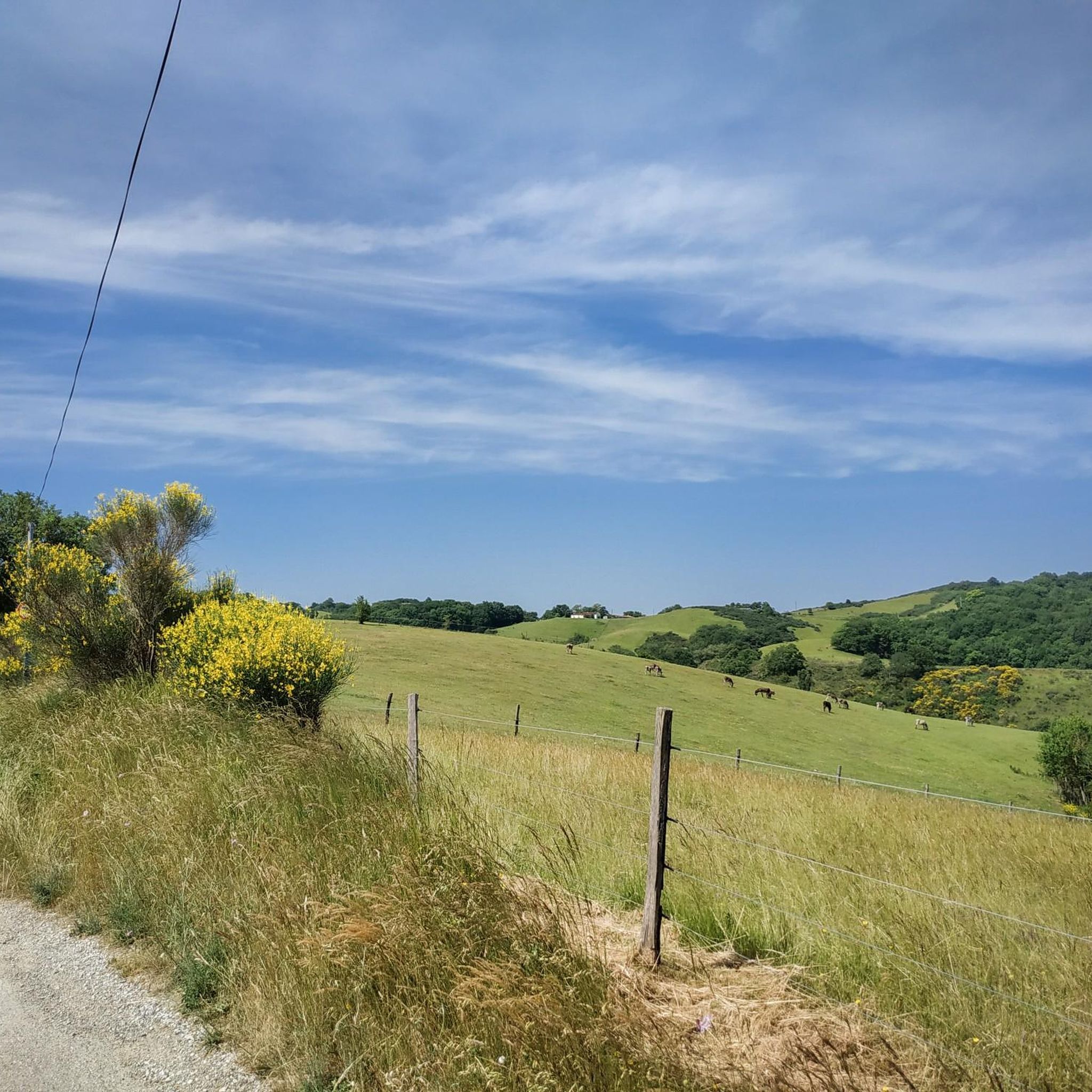
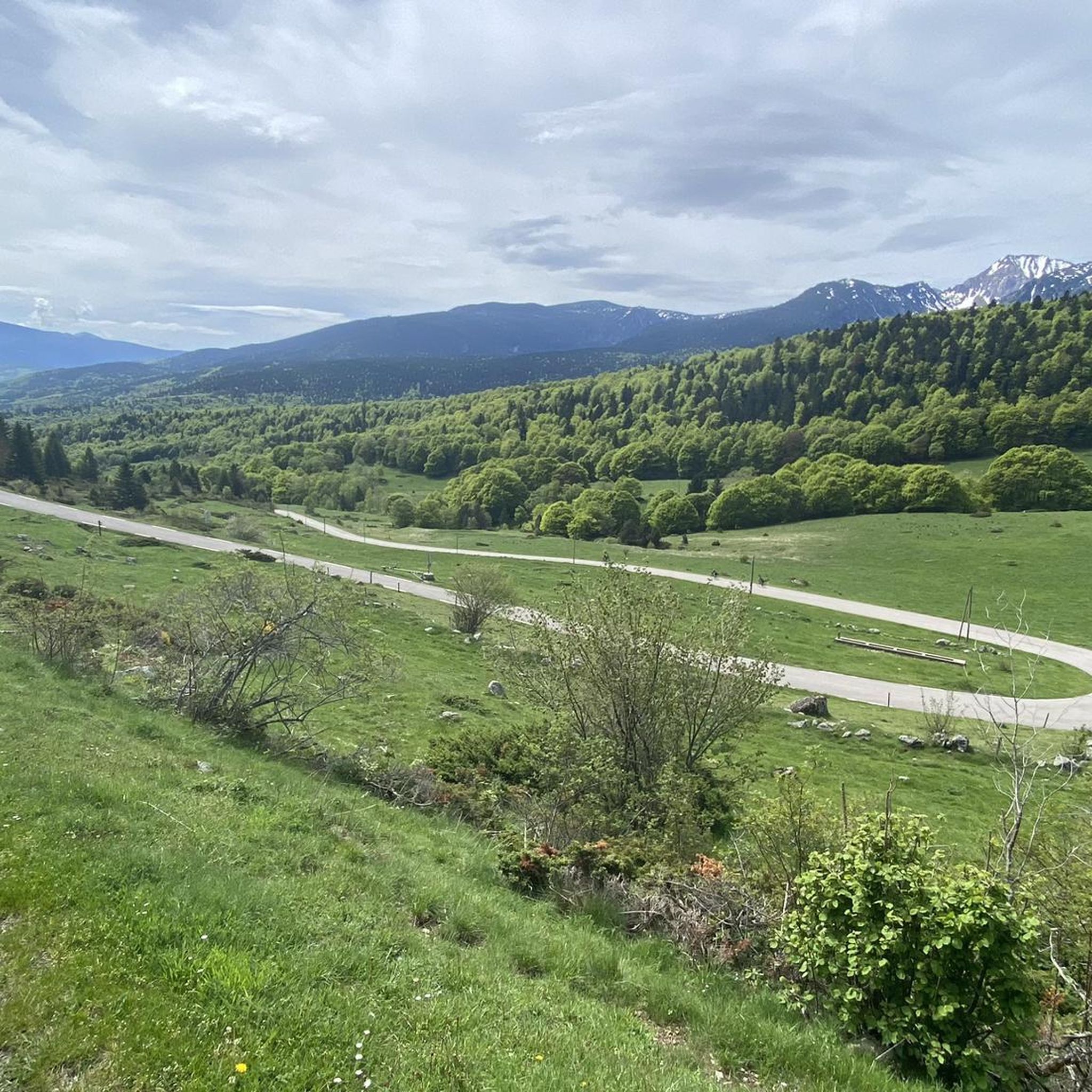

Tips from the Community

Nice climb, there are signs at the rocky parts, if the top is in the clouds the trails are also slippery, but it is more than worth the nice climb.
16
0

360 degree view of the Pays de Sault
0
0

Great view the climb is easy to do. Maybe push something in the last few meters ...
4
0

Unfortunately, the weather was not very far-sighted ...
2
0
Partially very exposed, therefore at least S2 classification m.E.
2
0
Frequently Asked Questions
What kind of terrain can I expect on jogging routes around Aunat?
Aunat's jogging routes traverse a diverse landscape, from rugged and forested areas to farmland valleys. You'll find significant elevation changes, with paths winding through the heavily wooded Pays de Sault plateau, offering varied intensity for your runs. The region is characterized by its mountainous environment and extensive woodlands, providing a natural and scenic backdrop.
Are there running routes suitable for different fitness levels in Aunat?
Yes, Aunat offers a range of running routes for moderate to difficult ability levels. While there are no easy routes listed, you can find moderate options like the Running loop from Espezel, which covers nearly 10 km through rural and forested areas. For more challenging runs, there are several difficult trails available.
Can I find circular jogging routes in the Aunat area?
Absolutely. Many of the running trails around Aunat are circular, allowing you to start and finish at the same point. A popular challenging option is the Couïrou – Col du Vent loop from Ginoles, a 9.5 km trail that takes about 1 hour 10 minutes to complete.
What natural features or landmarks can I see along the running trails?
The routes around Aunat offer glimpses of the region's natural beauty and significant mountain passes. You might encounter highlights such as the Pailhères Pass or the Col du Garavel (1256 m). The area is also drained by the Aude River and its tributaries, suggesting picturesque routes alongside flowing water.
What do other runners enjoy most about jogging in Aunat?
The running routes in Aunat are highly rated by the komoot community, with an average score of 4.3 stars. Runners often praise the varied terrain, the mountainous environment, and the significant passes that make for engaging and challenging runs. The preserved natural environment and extensive woodlands also contribute to a refreshing and scenic experience.
Are there any longer distance running routes for experienced runners?
Yes, for experienced runners seeking a longer challenge, Aunat provides several options. The Col du Pradel loop from Espezel is a difficult 11.9 km trail with significant ascents, typically completed in about 1 hour 33 minutes. Another demanding route is the Pic du Midi de Roquefeuil loop from Roquefeuil, spanning nearly 12 km.
When is the best time of year to go jogging in Aunat?
Aunat's location within the high-altitude Pays de Sault plateau means its extensive woodlands offer shaded paths, which can be ideal for jogging even during warmer periods. However, given the significant elevation changes and mountainous environment, spring and autumn generally provide pleasant temperatures and stunning scenery. Winters can bring snowfall, making some routes more challenging or inaccessible.
Are there any moderate running routes available?
Yes, if you're looking for a moderate challenge, the Running loop from Escouloubre is a good option. This route is about 7.1 km long with moderate elevation changes, offering a balanced running experience through the region's natural landscapes.
What are some other points of interest near the running trails?
Beyond the main passes, you might discover other interesting spots. For example, the Mijanès Pastoral Refuge offers a glimpse into local life, while the Windmill site provides a historical point of interest. These can add an extra dimension to your running adventures.
Is Aunat a good destination for outdoor activities beyond jogging?
Absolutely. Aunat's rugged, forested landscapes and network of routes make it excellent for various outdoor pursuits. The region is crisscrossed with trails suitable for road cycling, mountain biking, horse riding, and hiking, ensuring there's something for every outdoor enthusiast. The preserved natural environment, including Natura 2000 sites, guarantees a rich biodiversity to explore.
Most popular attractions around Aunat

Get inspired with the komoot mobile app


Explore more
Browse the best Running Trails & Routes in other regions.
