The best running trails around Lachapelle-Sous-Chanéac
4.6
(10)
741
runners
88
runs
Jogging routes around Lachapelle-Sous-Chanéac traverse a diverse landscape within the Monts d'Ardèche Regional Natural Park. The region features varied topography, ranging from river valleys at approximately 600 meters to higher elevations up to 1,000 meters, characterized by volcanic and metamorphic rocks. Extensive forests and ancient chestnut groves provide shaded paths, while the Saliouse river flows through scenic valleys. This varied terrain offers a range of gradients suitable for different running intensities.
Best jogging routes around Lachapelle-Sous-Chanéac
- The most popular jogging…
Last updated: July 1, 2026
4.0
(1)
94
runners
22.0km
03:04
890m
890m
Hard run. Very good fitness required. Mostly paved surfaces. Suitable for all skill levels.
16
runners
9.96km
01:10
140m
140m
Moderate run. Good fitness required. Mostly paved surfaces. Suitable for all skill levels.

Sign up for free
6
runners
10.7km
01:12
100m
110m
Moderate run. Good fitness required. Mostly paved surfaces. Suitable for all skill levels.
7
runners
9.30km
01:15
350m
350m
Hard run. Very good fitness required. Mostly paved surfaces. Suitable for all skill levels.
9
runners
15.0km
01:38
300m
300m
Hard run. Very good fitness required. Mostly paved surfaces. Suitable for all skill levels.
Get access to more routes and recommendations from other explorers.
Sign up for free
Already have an account?
Our route recommendations are based on thousands of hikes, rides, and runs completed by other people on komoot.
Start today with a free account
Your next adventure awaits.
Login or Signup

Tips from the Community

In 10 days we will be back on this beautiful route :-)
0
0

Dolce via Ardèche greenway old railway gravel ride magnificent
0
0

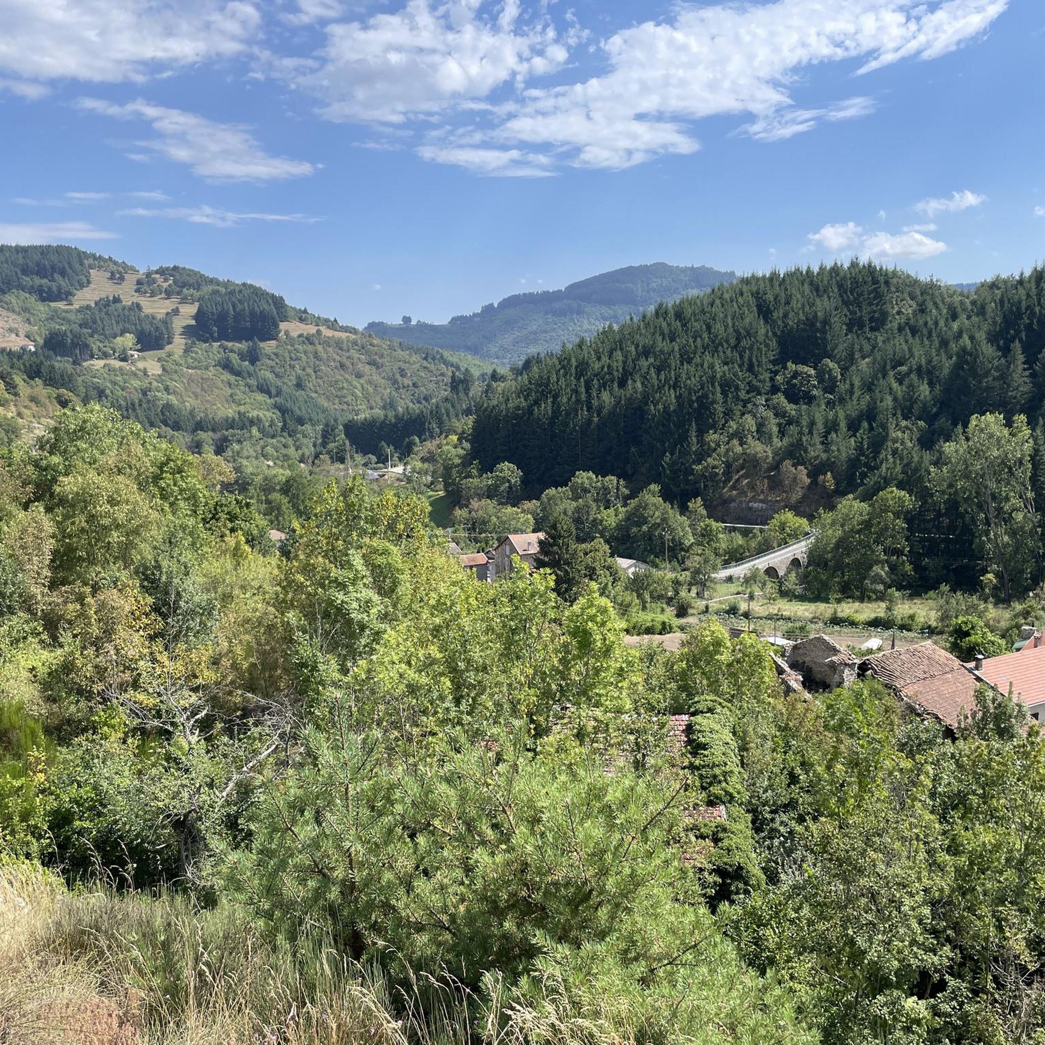
Even if the greenway no longer passes over the bridge, it bears witness to the work carried out at the time to avoid a scree zone. More than 100 years after its construction and after having seen hundreds of trains pass by, it is still there, and that's so much the better!
0
0
One of many old bridges of the Dolce Via
1
0
Nice bike ride from Lamastre (campsite) to St Agrève and back again 🌻 Did we drive in July 2022. Please take enough water with you and also light on the bike for the tunnel passages 🌻
0
0

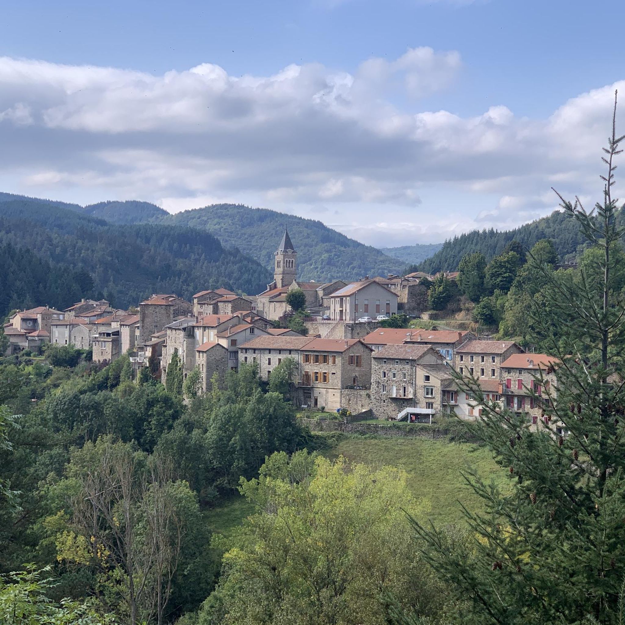
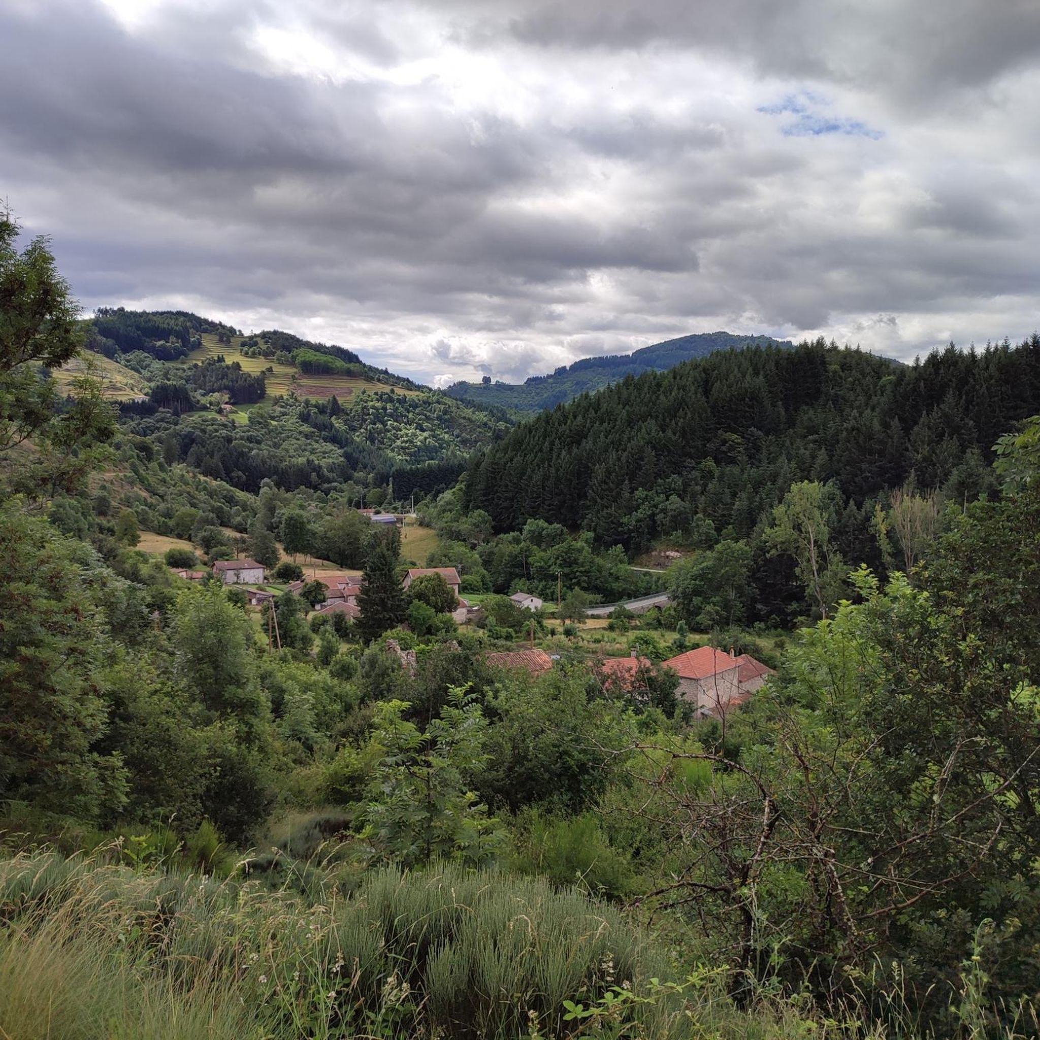
Just a few steps from Le Cheylard, you can enjoy a magnificent view of the valley in a landscape typical of the Monts d'Ardèche natural park.
1
1
In Saint-Martin-de-Valamas, there is this iron bridge typical of the Eiffel style, popularized at the turn of the 20th century. It is recognized by the metal beams and the X-shaped structure.
1
0
Frequently Asked Questions
How many running trails are available around Lachapelle-Sous-Chanéac?
There are over 80 running routes available in the Lachapelle-Sous-Chanéac area, offering a wide variety of distances and difficulty levels for joggers.
What kind of terrain can I expect on the running routes near Lachapelle-Sous-Chanéac?
The running routes in Lachapelle-Sous-Chanéac feature diverse terrain, including volcanic and metamorphic rocks, varied topography with elevations from 600 to 1,000 meters, and extensive forests. You'll find everything from gentle slopes in river valleys to more challenging ascents, providing engaging runs with different physical challenges.
Are there running routes suitable for beginners or those looking for an easy jog?
Yes, the region offers a variety of trails for all abilities. There are 9 easy running routes around Lachapelle-Sous-Chanéac, perfect for beginners or those seeking a more relaxed pace. Additionally, 47 moderate routes provide a good balance of challenge and accessibility.
What do other runners say about the trails in Lachapelle-Sous-Chanéac?
The running trails in Lachapelle-Sous-Chanéac are highly rated by the komoot community, with an average score of 4.5 stars from over 12 reviews. More than 600 runners have explored the varied terrain, often praising the scenic views and diverse landscapes.
Are there any scenic viewpoints or natural landmarks to see while running in the area?
Absolutely! Many trails offer panoramic views over the deeply carved Azette and Saliouse valleys, including glimpses of the Cirque des Boutières. You can also find routes with views of significant natural features like Mont Mézenc and unique volcanic formations such as the Tchier de Borée.
Can I combine my run with a visit to historical sites like Château de Rochebonne?
Yes, the region integrates natural beauty with cultural interest. Some running loops, such as those around Rochebonne Castle, allow you to incorporate historical sites into your run, offering a blend of activity and exploration.
Are there running paths that follow river valleys or offer water views?
Yes, the Saliouse river flows through Lachapelle-Sous-Chanéac, and running alongside it or through its valley provides scenic routes with the soothing presence of water. The wider Monts d'Ardèche region is also known for its deep river gorges, offering picturesque backdrops for your runs.
What is the best time of year to go running in Lachapelle-Sous-Chanéac?
The Monts d'Ardèche Regional Natural Park is beautiful year-round, but autumn is particularly vibrant when the extensive forests and ancient chestnut groves display golden and glowing colors, making for a stunning running experience. Spring and summer also offer pleasant conditions with lush greenery and shade from the trees.
Are the running trails around Lachapelle-Sous-Chanéac suitable for families?
Yes, the region offers trails ranging from easy, accessible paths suitable for all fitness levels, including families. Look for routes designated as 'easy' to ensure a comfortable experience for everyone.
Are there any circular running routes available?
Many of the running routes in the area are circular, allowing you to start and end at the same point. For example, the Running loop from Les Vastres is a popular circular option that takes you through varied topography and extensive forests.
Are dogs allowed on the running trails in Lachapelle-Sous-Chanéac?
Generally, dogs are welcome on trails within the Monts d'Ardèche Regional Natural Park, but it's always recommended to keep them on a leash, especially in areas with livestock or protected wildlife. Check local signage for any specific restrictions on individual trails.
Is public transport available to reach the running trailheads?
While Lachapelle-Sous-Chanéac is nestled in a rural area, public transport options might be limited. It's advisable to check local bus schedules or consider driving to reach specific trailheads. For broader regional information, you might consult resources like Wikipedia for transport links to the commune.
Where can I find parking for the running routes?
Parking is typically available near village centers or designated trailheads. For specific routes, it's best to check the route details on komoot, as many start points will indicate nearby parking facilities. The varied terrain means some routes might start from smaller hamlets with limited parking.
Are there any long-distance running options or routes that are particularly challenging?
Yes, for those seeking a challenge, there are 28 difficult running routes in the area. A notable long and challenging option is the Viaduc de Chabranç – Chapignac Viaduct loop from Saint-Julien-d'Intres, a 22 km trail with significant elevation gain, offering views of impressive viaducts and deep river gorges.
Most popular routes around Lachapelle-Sous-Chanéac
Most popular attractions around Lachapelle-Sous-Chanéac

Get inspired with the komoot mobile app


Explore more
Browse the best Running Trails & Routes in other regions.
