The best walks and hikes around Lachapelle-Sous-Chanéac
4.4
(214)
1,306
hikers
90
hikes
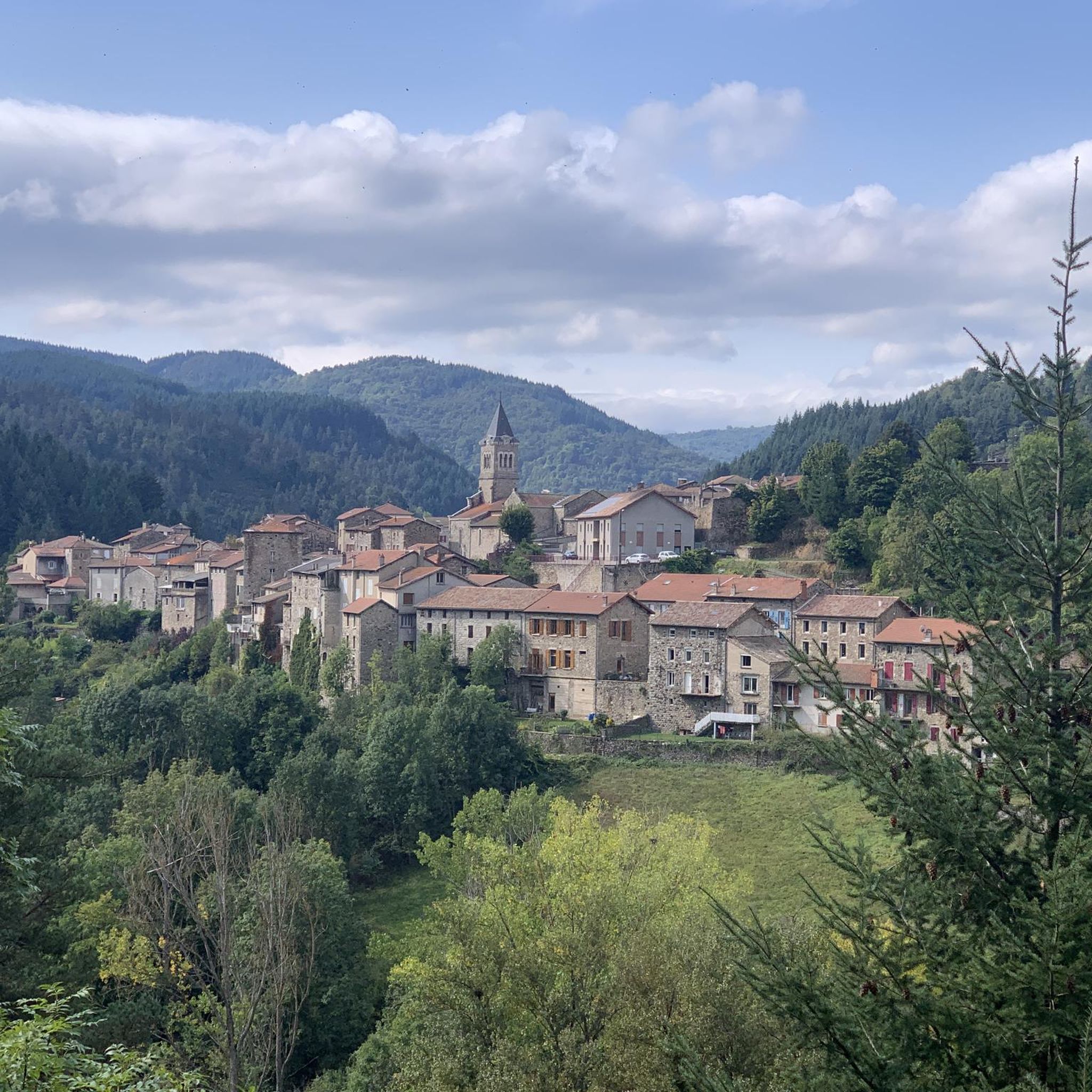
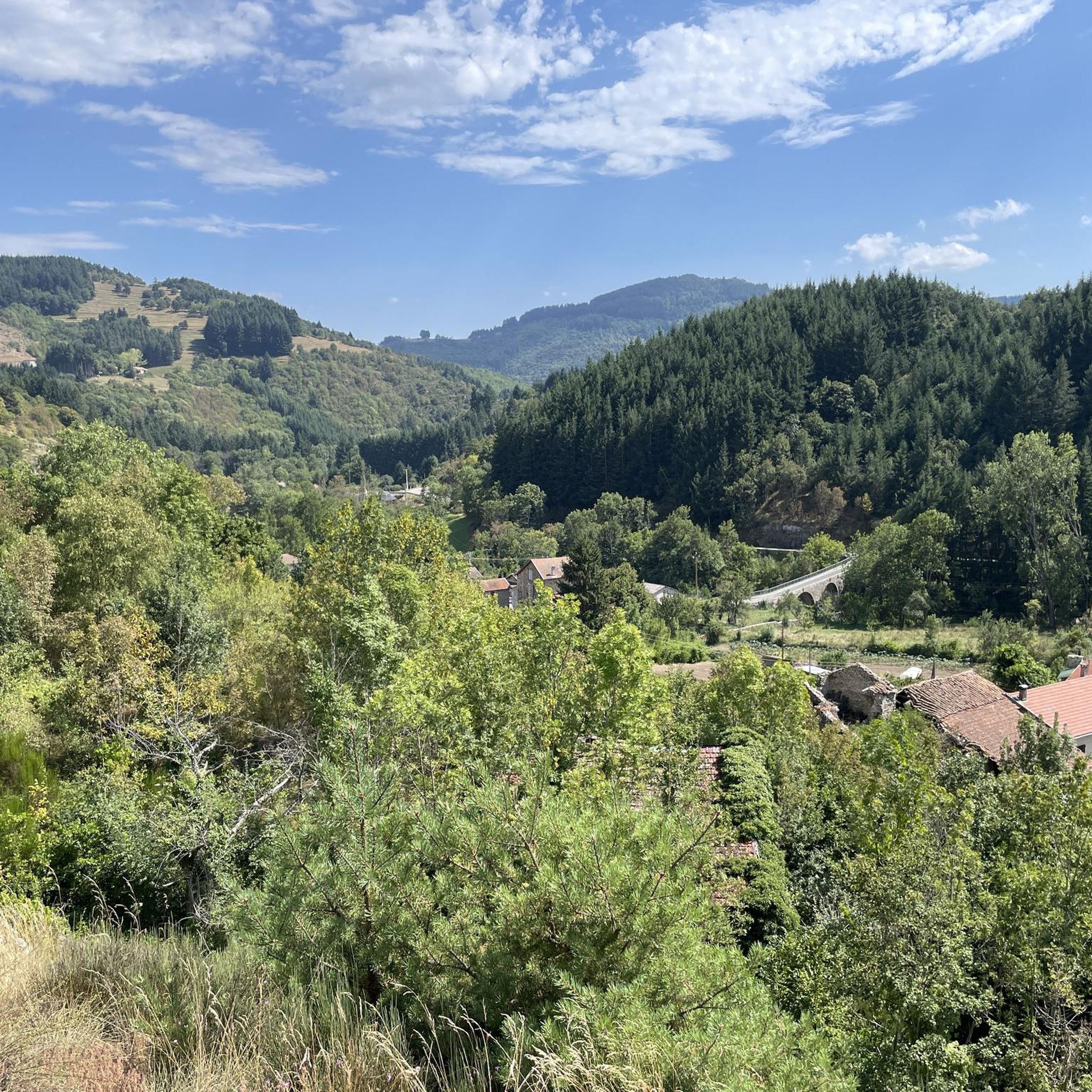
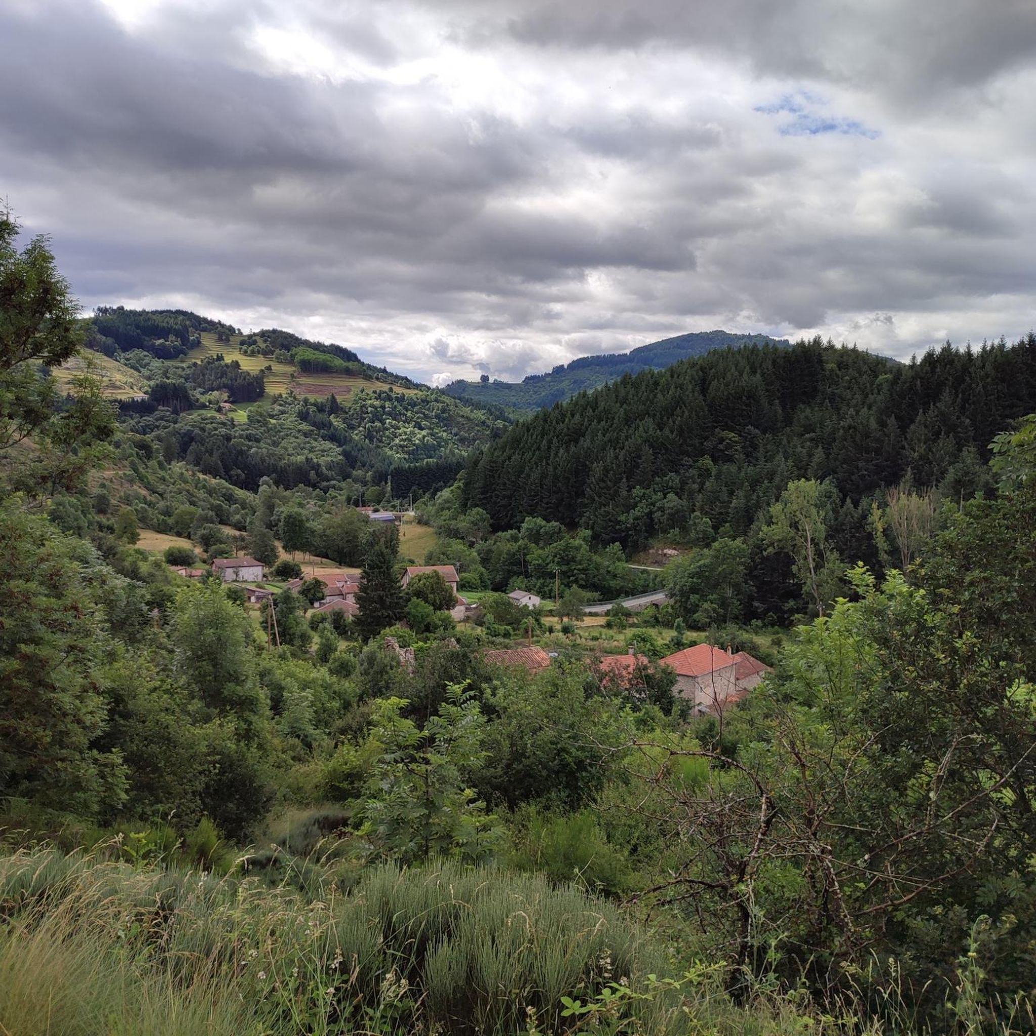
Hiking around Lachapelle-Sous-Chanéac offers diverse landscapes within the Regional Natural Park of the Monts d'Ardèche, a UNESCO Geopark. The terrain features ancient volcanic formations and granite outcrops, providing unique geological points of interest. Hikers can traverse varied forest ecosystems, including groves of chestnut, pine, and beech trees, alongside heathlands and grassy meadows. The region is also characterized by "hautes vallées ardéchoises" (high Ardèche valleys), offering expansive vistas.
Best hiking trails around Lachapelle-Sous-Chanéac
- The most popular hiking route is Rochebonne Castle…
Last updated: June 29, 2026
4.6
(22)
120
hikers
10.3km
03:21
420m
420m
Moderate hike. Good fitness required. Mostly accessible paths. Sure-footedness required.
4.3
(3)
13
hikers
17.1km
05:00
420m
420m
Moderate hike. Good fitness required. Easily-accessible paths. Suitable for all skill levels.

Sign up for free
10
hikers
18.5km
05:37
610m
620m
Hard hike. Very good fitness required. Easily-accessible paths. Suitable for all skill levels.
5.0
(1)
7
hikers
11.5km
03:40
410m
410m
Hard hike. Good fitness required. Sure-footedness, sturdy shoes and alpine experience required.
3.0
(1)
9
hikers
2.49km
00:46
80m
80m
Easy hike. Great for any fitness level. Easily-accessible paths. Suitable for all skill levels.
Get access to more routes and recommendations from other explorers.
Sign up for free
Already have an account?
Our route recommendations are based on thousands of hikes, rides, and runs completed by other people on komoot.
Start today with a free account
Your next adventure awaits.
Login or Signup

Tips from the Community

Excellent cuisine! Very friendly service
0
0

Small steep path to discover the volcanic flows on the hillsides
0
0

As is often the case on the Dolce Via, cyclists and hikers have been taken into account. The pump works wonderfully with a push button.
1
0

In 10 days we will be back on this beautiful route :-)
0
0

Dolce via Ardèche greenway old railway gravel ride magnificent
0
0

Perfect location, visible from afar
0
0

Even if the greenway no longer passes over the bridge, it bears witness to the work carried out at the time to avoid a scree zone. More than 100 years after its construction and after having seen hundreds of trains pass by, it is still there, and that's so much the better!
0
0
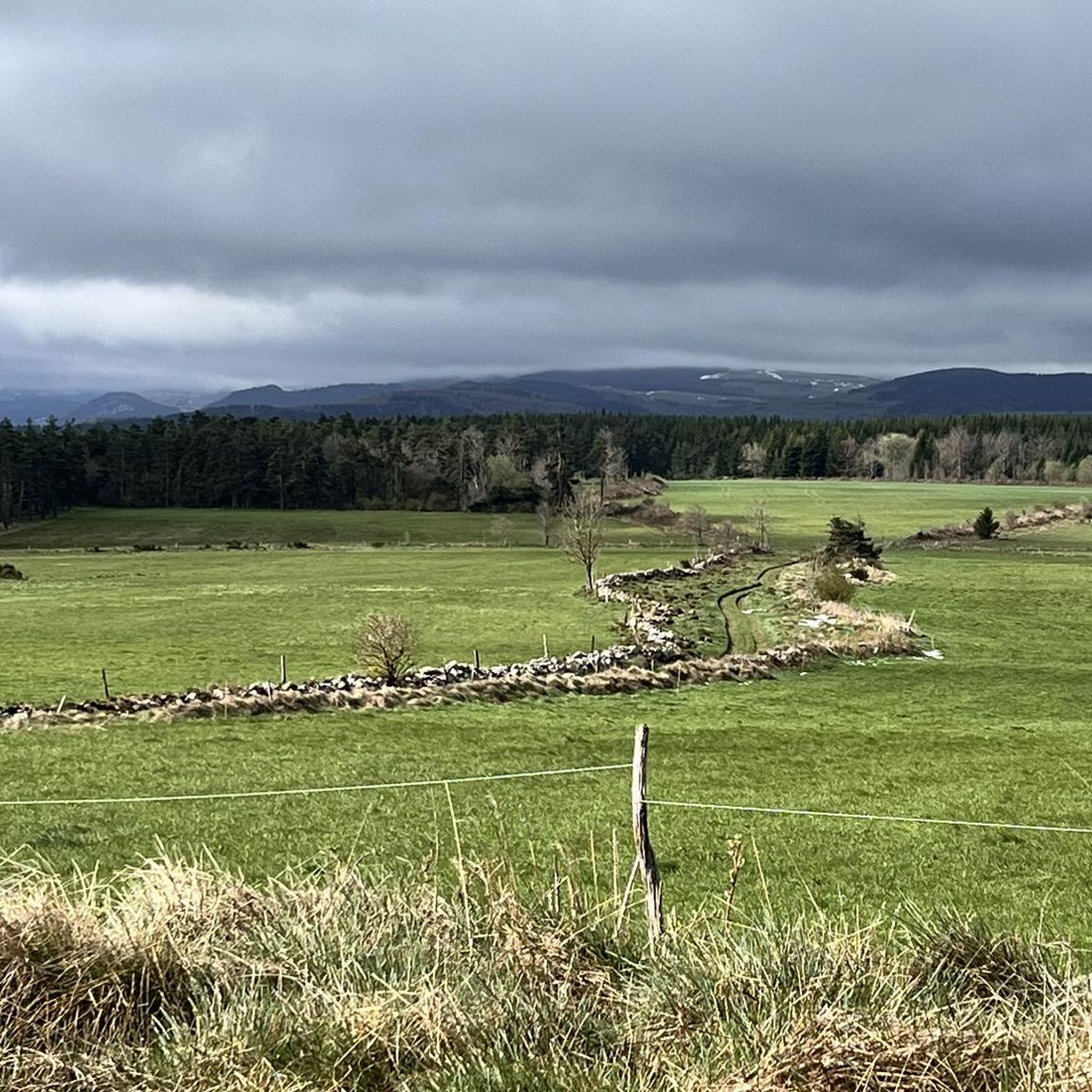
Arrival point of the Dolce Via and numerous roads, with a magnificent view of the Sucs and the Mézenc
1
0
Frequently Asked Questions
How many hiking trails are available around Lachapelle-Sous-Chanéac?
There are over 90 hiking routes in the Lachapelle-Sous-Chanéac area, catering to various skill levels. You'll find a good mix of easy, moderate, and difficult trails to explore the diverse landscapes of the Monts d'Ardèche.
What kind of landscapes can I expect to see while hiking in Lachapelle-Sous-Chanéac?
Hikers in Lachapelle-Sous-Chanéac will experience a varied topography, including ancient volcanic terrain and granite formations, as it's part of the UNESCO Geopark. You'll traverse diverse forest ecosystems with chestnut, pine, and beech trees, alongside heathlands and grassy meadows. The region also features "hautes vallées ardéchoises" (high Ardèche valleys) offering expansive vistas.
Are there any easy hiking trails suitable for beginners or families?
Yes, Lachapelle-Sous-Chanéac offers 32 easy hiking routes. These trails are perfect for beginners or families looking for a gentle exploration of the area's natural beauty. Many paths incorporate sections of the accessible La Dolce Via.
What are some notable landmarks or attractions to see on a hike?
Many trails offer views of significant landmarks. For example, the Rochebonne Castle Loop passes by the dramatic ruins of Château de Rochebonne. You might also encounter geological features like the Rocher de Soutron or enjoy panoramic views of peaks like Mont Mézenc.
Are there any circular hiking routes in the area?
Yes, many of the trails around Lachapelle-Sous-Chanéac are circular, allowing you to start and end at the same point. A popular option is the Rochebonne Castle Loop, which is a moderate 10.3 km route offering panoramic views.
What do other hikers say about the trails in Lachapelle-Sous-Chanéac?
The hiking trails in Lachapelle-Sous-Chanéac are highly rated by the komoot community, with an average score of 4.4 stars from over 200 reviews. Hikers often praise the diverse landscapes, the well-maintained paths, and the stunning views of the Ardèche valleys and volcanic terrain.
Are there any challenging hikes for experienced trekkers?
Yes, for experienced trekkers, there are 19 difficult routes available. An example is the Graillouse summit loop from Chanéac, an 18.4 km trail with significant elevation gain, leading through volcanic terrain and offering rewarding summit views.
What is the best time of year to go hiking in Lachapelle-Sous-Chanéac?
The region is beautiful year-round, but spring and autumn are particularly recommended. In autumn, the chestnut forests are vibrant with color, offering a spectacular backdrop for your hikes. Summers are also pleasant, though some trails might be more exposed to the sun.
Can I bring my dog on the hiking trails?
Most trails within the Regional Natural Park of the Monts d'Ardèche are dog-friendly, provided your dog is kept under control, especially in areas with livestock or protected wildlife. It's always advisable to check specific trail regulations before you go.
Are there any routes that feature viaducts or river valleys?
Yes, some routes explore the region's river valleys and historical infrastructure. The Chapignac Viaduct – Viaduc de Chabranç loop from Saint-Julien-d'Intres is a moderate trail that specifically highlights notable viaducts and follows river courses.
What kind of geological features can I observe on the trails?
As part of a UNESCO Geopark, the area is rich in geological interest. You can observe ancient volcanic terrain, granite formations, and features like the maar d'Échamps. Many trails offer insights into the region's volcanic past and unique rock formations.
Are there any long-distance hiking options or multi-day routes?
While this guide focuses on day hikes, the broader Regional Natural Park of the Monts d'Ardèche boasts an impressive 4,000 kilometers of trails, including sections of longer routes. You can combine several local trails or explore segments of the larger network for multi-day adventures.
Most popular routes around Lachapelle-Sous-Chanéac
Most popular attractions around Lachapelle-Sous-Chanéac

Get inspired with the komoot mobile app


Explore more
Browse the best Hikes in other regions.
