The best road cycling routes around Lachapelle-Sous-Chanéac
4.6
(78)
3,231
riders
88
rides
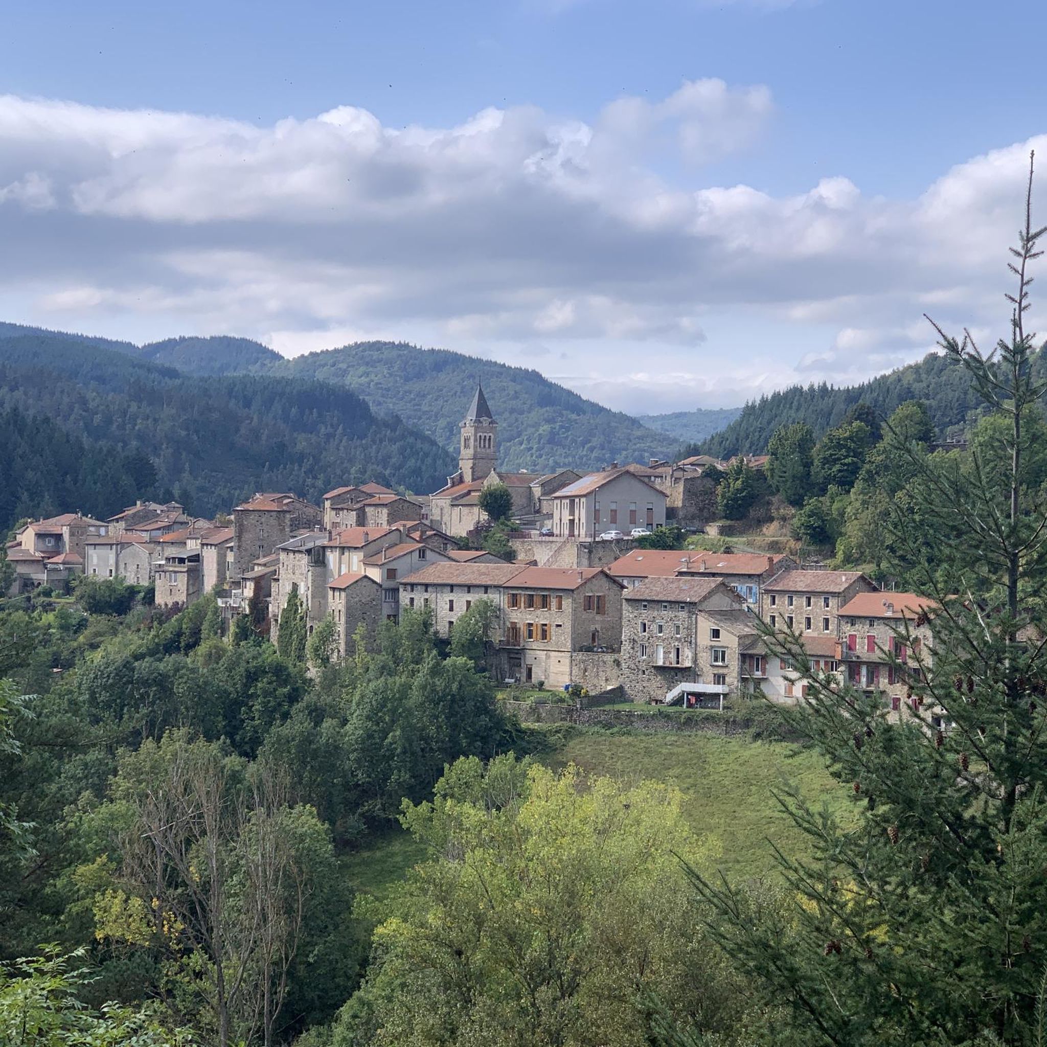
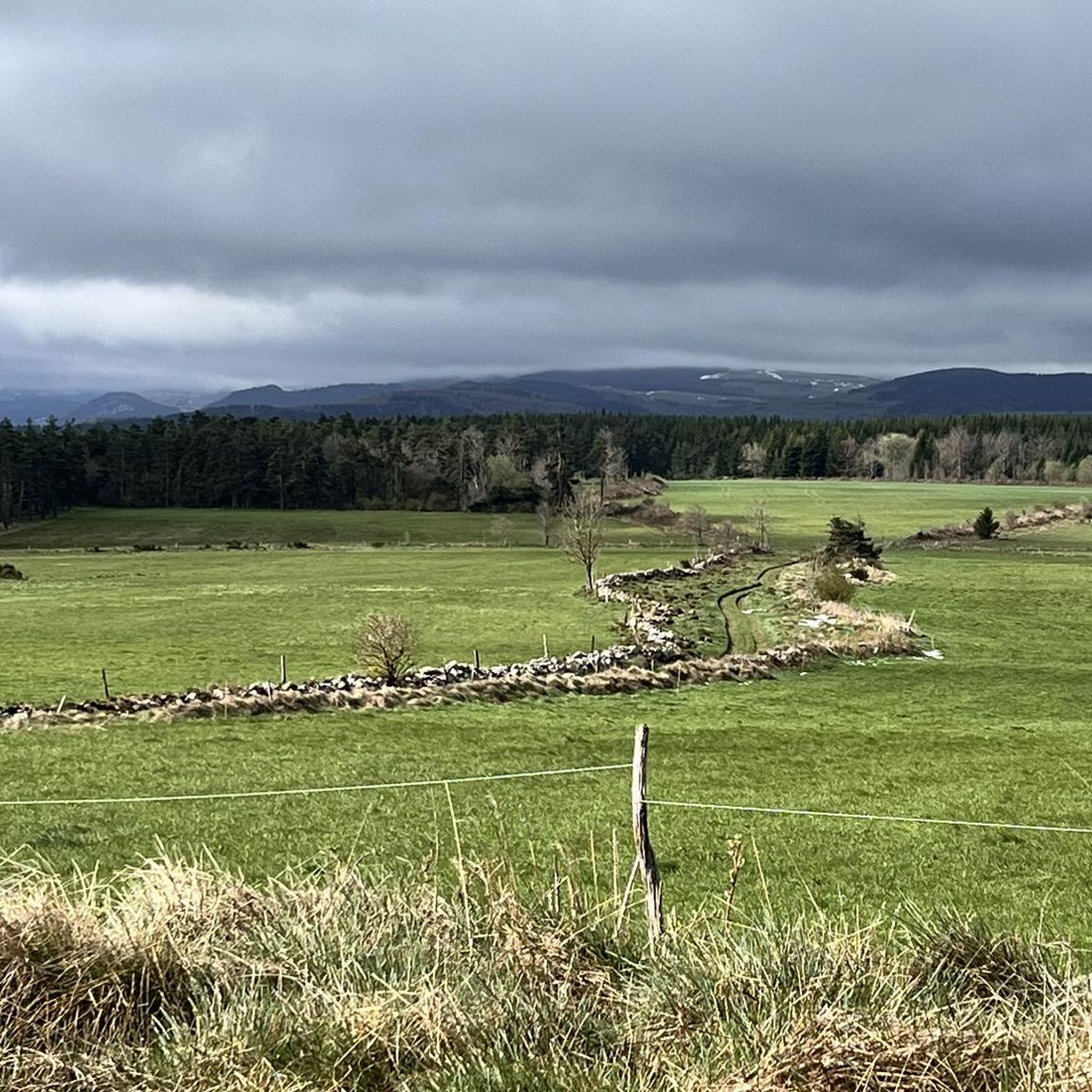
Road cycling routes around Lachapelle-Sous-Chanéac are situated within the Monts d'Ardèche Regional Natural Park, an area defined by its volcanic and metamorphic geology. The terrain features significant elevation changes, with the village itself at 600 to 700 meters and surrounding areas reaching up to 1,000 meters. This region offers winding roads and diverse landscapes, providing varied conditions for road cyclists.
Best road cycling routes around Lachapelle-Sous-Chanéac
- The most popular road cycling route is Col de la Clède (1,385 m) –…
Last updated: July 15, 2026
4.0
(1)
119
riders
76.4km
04:04
1,460m
1,460m
Hard road ride. Very good fitness required. Mostly well-paved surfaces and easy to ride.
5.0
(3)
25
riders
47.6km
02:31
900m
900m
Hard road ride. Very good fitness required. Mostly well-paved surfaces and easy to ride.

Sign up for free
33
riders
58.0km
03:18
1,300m
1,300m
Hard road ride. Very good fitness required. Mostly well-paved surfaces and easy to ride.
18
riders
169km
09:41
3,790m
3,790m
Hard road ride. Very good fitness required. Mostly well-paved surfaces and easy to ride.
5.0
(1)
14
riders
Moderate road ride. Good fitness required. Some segments of this route may be unpaved and difficult to ride.
Get access to more routes and recommendations from other explorers.
Sign up for free
Already have an account?
Our route recommendations are based on thousands of hikes, rides, and runs completed by other people on komoot.
Start today with a free account
Your next adventure awaits.
Login or Signup
Tips from the Community


A pass at an altitude of over 1500 m. It is the highest in Ardèche.
0
0

A visit to the Barrage et Lac des Collanges is definitely worth it if you are in the area. This beautiful reservoir, surrounded by lush nature, offers a serene and peaceful setting for a relaxing excursion. In addition, the dam itself is impressive to see and gives you a nice insight into the local water management.
0
0

Cafe de la Place has good coffee and just down the main street on the left is a good Boulangerie.
0
0
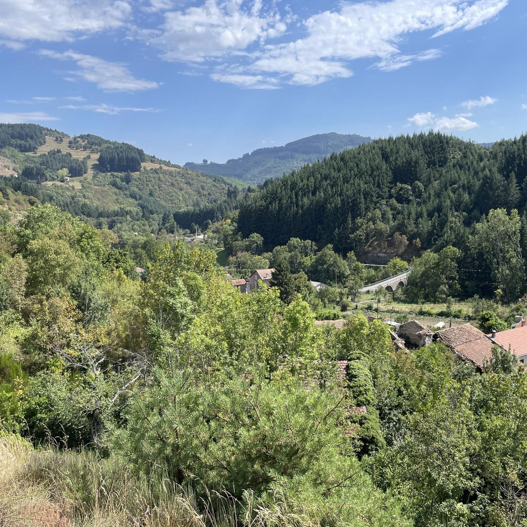
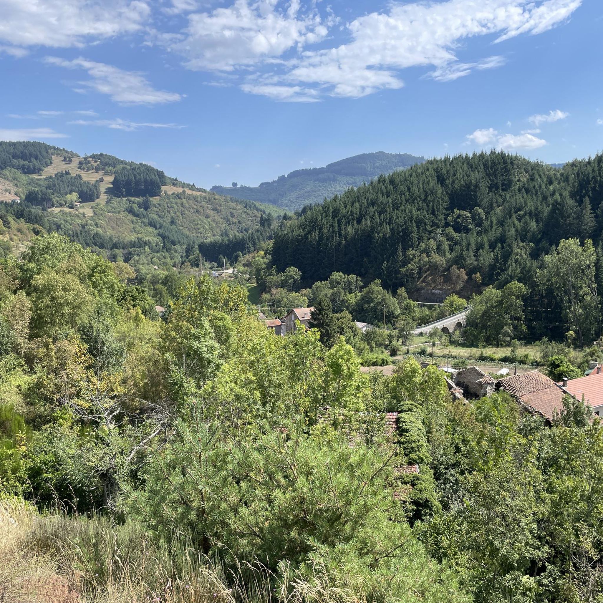
Even if the greenway no longer passes over the bridge, it bears witness to the work carried out at the time to avoid a scree zone. More than 100 years after its construction and after having seen hundreds of trains pass by, it is still there, and that's so much the better!
0
0
Halfway through the ascent towards Saint Agrève, the surroundings of the Saint Julien Boutières station have been developed to accommodate cyclists and walkers. The station bears witness to the rich industrial and economic past of Boutières
0
0
Swimming place on the Eyrieux river, with many activities in summer
0
0
Arrival point of the Dolce Via and numerous roads, with a magnificent view of the Sucs and the Mézenc
1
0
Frequently Asked Questions
How many road cycling routes are available around Lachapelle-Sous-Chanéac?
There are over 80 road cycling routes available around Lachapelle-Sous-Chanéac, offering a wide range of options for different fitness levels and preferences within the Monts d'Ardèche Regional Natural Park.
What is the typical terrain like for road cycling in this region?
The region is characterized by its volcanic and metamorphic geology, resulting in a dramatic and varied terrain. You can expect winding roads, significant elevation changes, and diverse landscapes. The village itself sits at 600 to 700 meters, with surrounding areas reaching up to 1,000 meters, providing challenging climbs and rewarding descents.
What are the difficulty levels of road cycling routes in Lachapelle-Sous-Chanéac?
The routes cater to various fitness levels. While there are 4 easy routes, the majority are more challenging, with 25 moderate and 51 difficult routes. This makes the area particularly appealing for cyclists seeking significant elevation gains and demanding rides.
Are there scenic viewpoints or natural landmarks to see while road cycling?
Yes, the region offers numerous scenic points. You might encounter highlights such as the South summit of Mont Mézenc, the unique Tchier de Borée, or the Col de l'Ardèchois (1184 m). The volcanic landscape itself provides stunning vistas throughout your ride.
What interesting villages or towns can I visit on a road cycling trip near Lachapelle-Sous-Chanéac?
While cycling, you can explore charming Ardèche villages such as Désaignes, known for its medieval gate and ramparts, or Antraigues-sur-Volane, a picturesque perched town. Thueyts, with its deep gorge and renovated village, is also within reach for a cultural stop.
Are there any circular road cycling routes available?
Yes, many routes are designed as loops. For example, the difficult Col de la Clède (1,385 m) – Col de la Croix de Boutières loop from Saint-Martin-de-Valamas offers a substantial challenge, while the moderate Saint-Martin-de-Valamas – Collanges Dam and Lake loop from Lachapelle-sous-Chanéac provides a scenic ride around the lake.
Are there options for less experienced road cyclists or families?
While the area is known for its challenging terrain, there are 4 easy routes available. Additionally, the nearby Dolce Via, an award-winning greenway built on a former railway line, offers a gentle and picturesque cycling experience through the Eyrieux Valley, ideal for families and less experienced riders.
Can I find routes with significant climbs for a challenging ride?
Absolutely. The region is perfect for cyclists seeking significant climbs. Routes like the Col de la Clède (1,385 m) – Col de la Croix de Boutières loop from Saint-Martin-de-Valamas feature over 1,600 meters of elevation gain, navigating high mountain passes. The volcanic landscape ensures plenty of ascents and descents.
Is there parking available for road cyclists in Lachapelle-Sous-Chanéac?
As a small rural commune, Lachapelle-Sous-Chanéac typically offers local parking options. It's advisable to check specific starting points of routes for designated parking areas, especially in nearby larger villages or trailheads.
What do other road cyclists think about the routes in Lachapelle-Sous-Chanéac?
The road cycling routes in Lachapelle-Sous-Chanéac are highly rated by the komoot community, with an average score of 4.5 stars from over 50 reviews. Cyclists often praise the winding roads, diverse scenery, and the quiet, low-density traffic, which enhances the overall riding experience.
When is the best time of year for road cycling in the Ardèche region?
The Ardèche region, including Lachapelle-Sous-Chanéac, is generally pleasant for road cycling from spring through autumn. Summer offers warm weather, but spring and early autumn provide milder temperatures and beautiful scenery, making them ideal for tackling the region's climbs and enjoying the diverse landscapes.
Are there any routes that pass by cafes or places to stop for refreshments?
Many routes in the Ardèche connect charming villages. While specific cafe stops are not always marked, planning your route through towns like Saint-Martin-de-Valamas or Saint-Julien-d'Intres will likely offer opportunities for refreshments. The region's low population density means some stretches will be more remote, so carrying water and snacks is always recommended.
What kind of geological features define the cycling landscape around Lachapelle-Sous-Chanéac?
The cycling landscape is profoundly shaped by its volcanic and metamorphic geology, being part of the 'sucs' region. This ancient volcanic activity has created dramatic peaks, deep valleys, and varied rock formations, offering a unique and challenging environment for road cyclists with constant changes in elevation and scenery.
Most popular routes around Lachapelle-Sous-Chanéac
Most popular attractions around Lachapelle-Sous-Chanéac

Get inspired with the komoot mobile app


Explore more
Browse the best Road cycling routes in other regions.
